Windy Lakes
Hike details:
Mileage: 10.8 miles out and back w/ 1,270 ft. elevation gain
Approximate hike time: 4 hours 41 minutes w/ an average pace of 2.3 mph
Difficulty: Moderate
Trail usage: Low
Highest elevation: 6,275 ft. Lowest elevation: 5,005 ft.
General location: 45 miles southeast of Oakridge - Deschutes National Forest
Suggested seasons: Summer, fall
(Best time to go is late-August, September, when there are no bugs but temperatures are still warm enough to swim. You can also go in early November and catch the first snowfall here, which is stunning).
Permits required: N/A
Pit toilet at trailhead: No
Trail allows: Dogs, camping, horses, mountain biking
Possible dangers: N/A
|
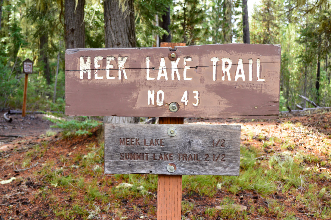
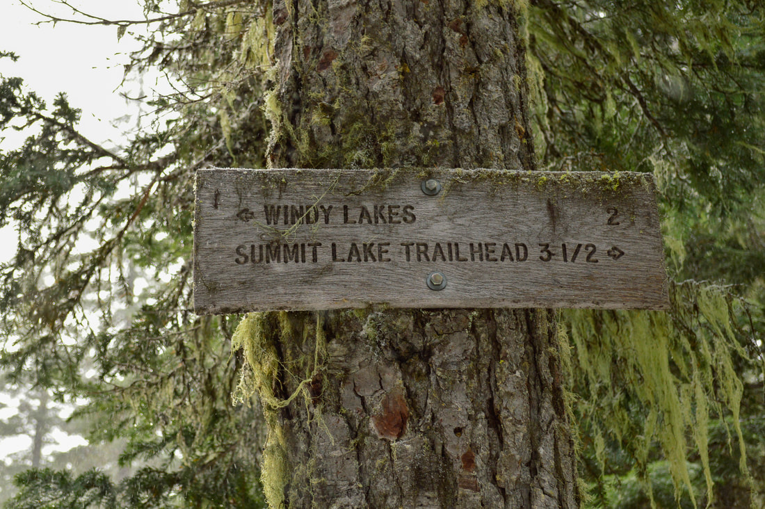
Description:Windy Lakes are some of the most secluded lakes in the Deschutes National Forest because the trailhead has such limited accessibility. This hike is great for a great option for a short backpacking trip and the lakes are a wonderful cool escape for those hot summer days. After braving the insanely rough 3.5 mile drive from Crescent Lake to the trailhead, you will find the Meek Lake trailhead with plenty of parking on your right. Make sure you don't take the trail that heads off to the right though, that will take you over to Snell Lake, take the trail on your left with the sign for Meek Lake.
|
(Summit Creek crossing)
|
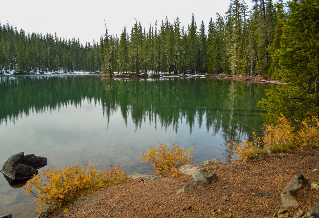
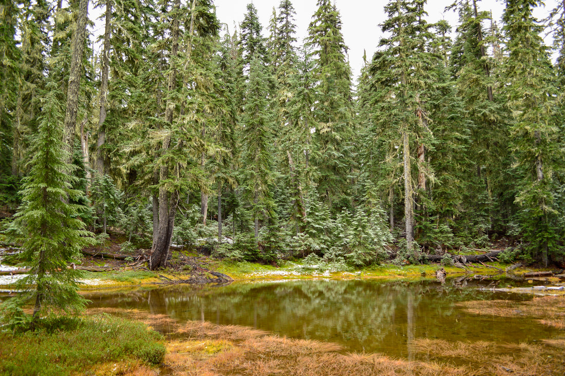
(Meek Lake in October)
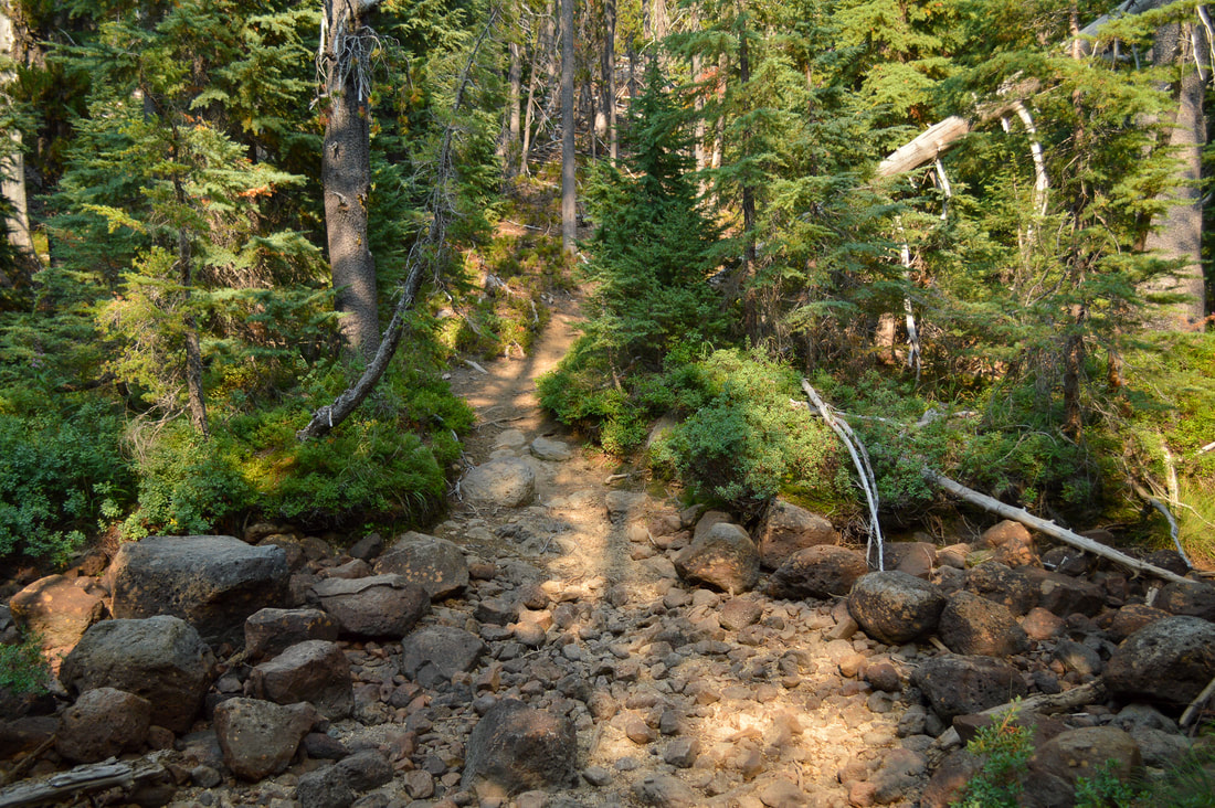
The trail trends downhill for 0.2 miles where you will cross Summit Creek. This creek is fairly wide and can either be pretty full with snow melt or totally dried up, depending on when in the season you hike here. Then the trail regains the elevation that you just lost and at the 0.5 mile mark you will hit the absolutely stunning Meek Lake. There is primitive dispersed camping here.
|
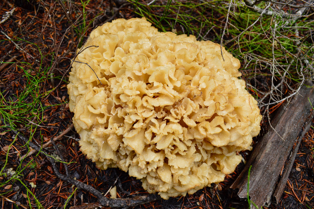
(Cauliflower mushroom)
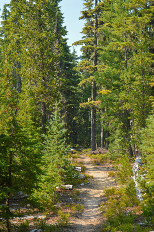
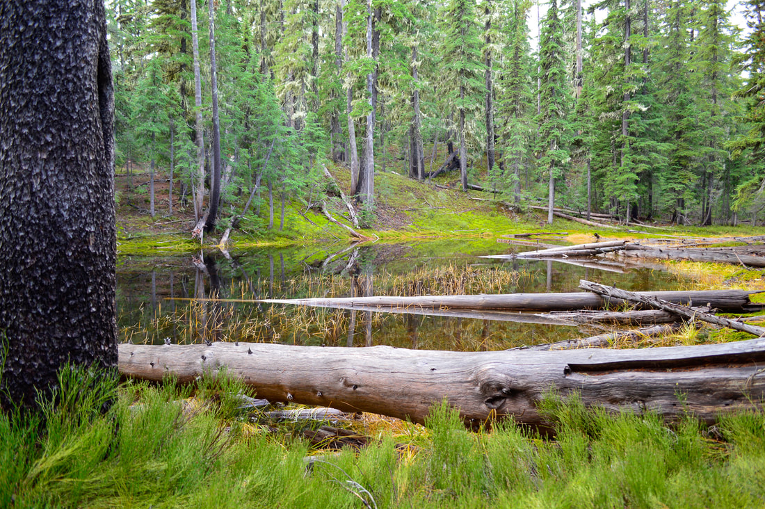
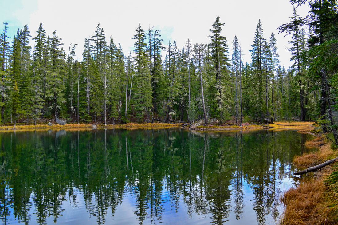
As you make your way through the forest you will encounter many ponds (there are 22 in total on this hike). They range in sizes from small bogs to what actually look to be small lakes. If you hike here in the fall (October) the ground cover foliage and grasses along the shoreline of the ponds will be turning beautiful bright reds, oranges and yellow colors. You can also be sure to find many mushrooms along the trail.
|
|
|
|
At the 2.7 mile mark you will come to a trail split. Stay to the left here, the trail to the right is the Oldenberg Skyline Trail and will take you to Summit Lake. Continue on for another 1.3 miles, passing North Windy Lake until you come to another trail junction. Here the Oldenberg Skyline Trail continues to the east (over to Suzanne and Darlene Lakes where you can also camp), you will continue heading south.
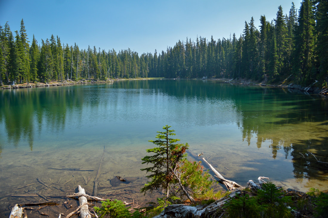
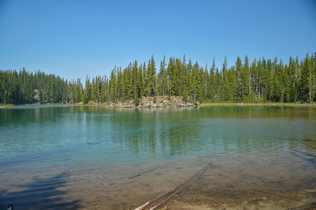
(East Windy Lake in August)
|
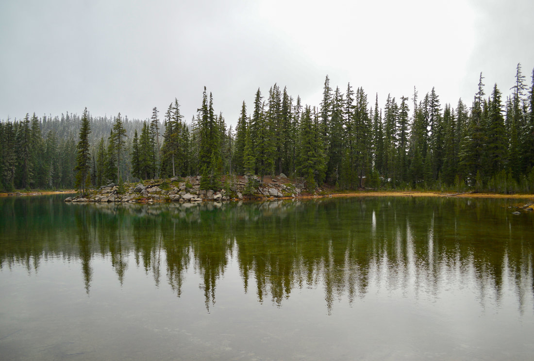
(East Windy Lake in November)
|
Right after the junction you will come to East Windy Lake. This one has an awesome peninsula for camping. This lake is especially great for kids because the shoreline is very shallow and warm, perfect for the kids to play in the water. Around the 5 mile mark you will come to Third Windy Lake. This one is very shallow and the marshy bottom makes it hard to wade out to where it gets deep enough to swim. There is some camping at this lake too.
(Third Windy Lake)
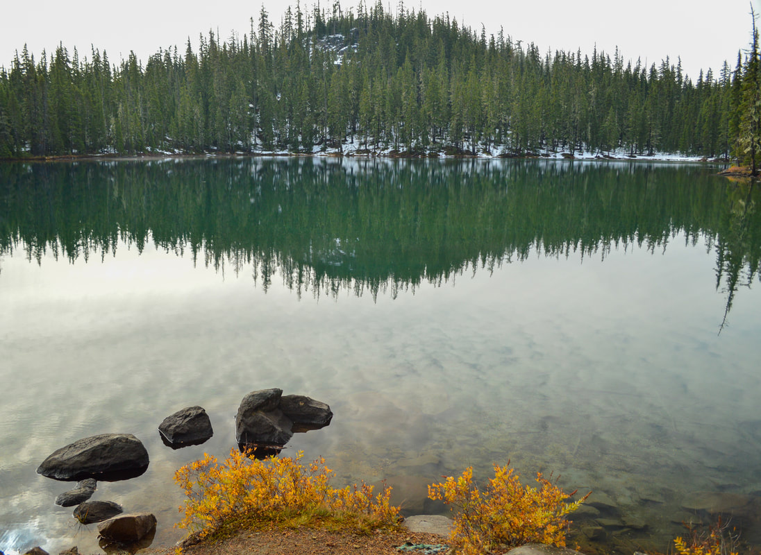
The only lake that really doesn't have any camping is South Windy Lake. From Third Windy Lake to South Windy lake the trail trends downhill just a little bit for 0.4 miles. South Windy Lake sits in a bowl, making it the greenest of the lakes and when the first snowflakes fall here, it is absolutely magical at this lake. Even though this lake isn't great for swimming or camping, it is where the trail ends and it is definitely worth the look.

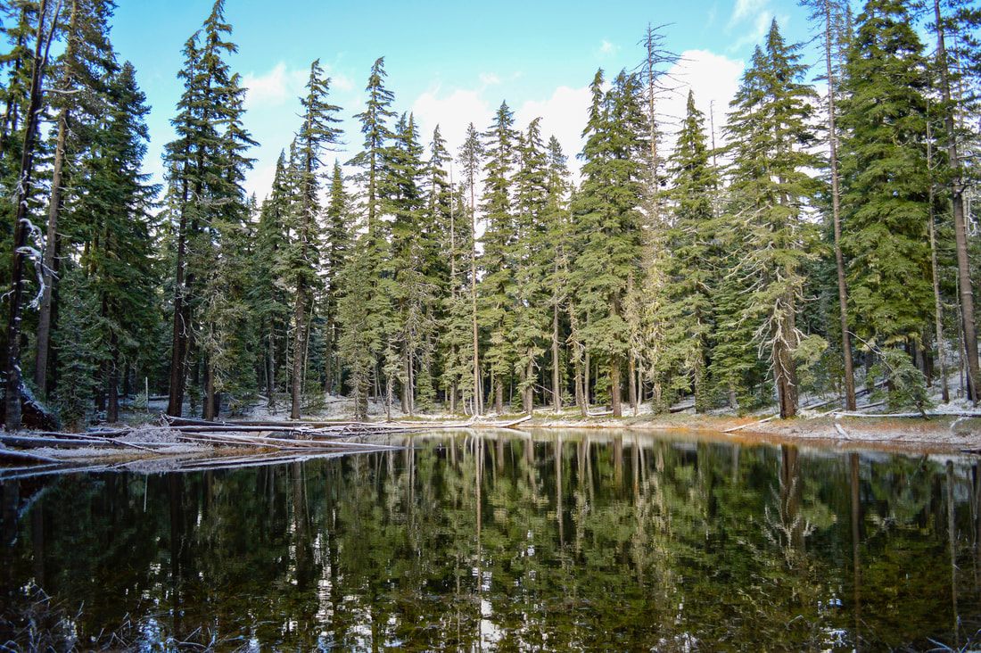
(South Windy Lake at first snowfall)
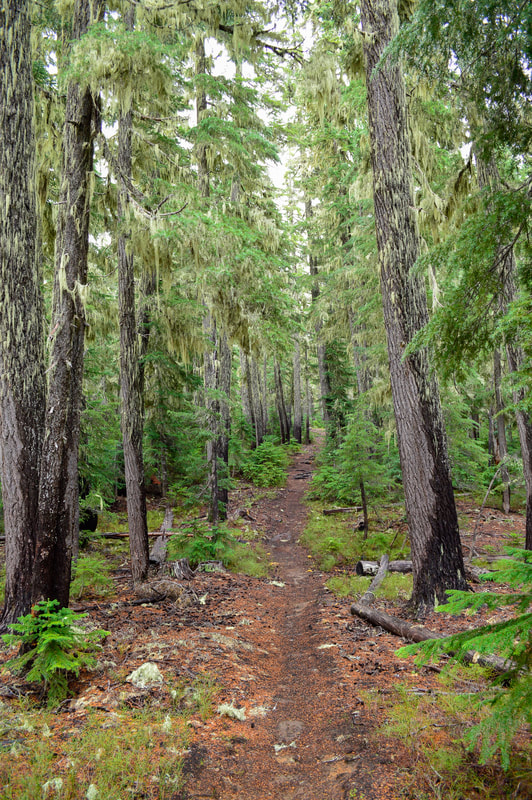
Overall, this trail is absolutely perfect for those who want to take a dip in alpine lakes. You can easily do this as a day hike since there is minimal elevation gain and therefore it is rated moderate instead of difficult like other hikes with this amount of mileage. The trail is generally well maintained (unlike the road in), with no large rocks or roots in the trail and there are definitely no areas where the trail is off camber. This would be the perfect trail to take little kids on if you wanted to just go to Meek Lake and enjoy the water or introduce them to an easy backpacking trip.
Directions:
From Bend
- Drive US-97 south for a total of 46.9 miles, then turn Turn right onto Crescent Rd/Crescent Cutoff Rd. for 12 miles until you T-into OR-58. Turn right onto OR-58 west for 3.5 miles, then turn left onto OR-429 for 2.2 miles. Turn right onto Crescent Lake Rd/NF-60 for 1.2 miles and at a Y junction stay right on NF-60 for 3.8 miles. You will see a dirt road on your right, make a very sharp right turn onto NF-6010 and stay on this road for 3.5 miles until you see the Meek Lake trail on your left and the Snell Lake trailhead on your right (there is room to park). **Keep in mind that NF-6010 is one of the worst dirt roads in Oregon and it does not get maintained. Some of the potholes are as big as a small car (my Subaru Crosstrek fit into a few of the holes) and the combination of the super fine dusty dirt, the large holes and the huge rocks makes this a very tricky 3.5 miles. It took us 45 minutes to navigate this road, but it can be done with smart driving. I have even taken a '96 Volvo Station Wagon up this road before but that was 5 years ago. Vehicles that are recommended on this road are Jeeps, Subarus and large 4WD trucks. (Total of 73.8 miles)
- Drive on OR-58 east for a total of 69.3 miles, then turn right OR-429 for 2.2 miles. Turn right onto Crescent Lake Rd/NF-60 for 1.2 miles and at a Y junction stay right on NF-60 for 3.8 miles. You will see a dirt road on your right, make a very sharp right turn onto NF-6010 and stay on this road for 3.5 miles until you see the Meek Lake trail on your left and the Snell Lake trailhead on your right (there is room to park). **Keep in mind that NF-6010 is one of the worst dirt roads in Oregon and it does not get maintained. Some of the potholes are as big as a small car (my Subaru Crosstrek fit into a few of the holes) and the combination of the super fine dusty dirt, the large holes and the huge rocks makes this a very tricky 3.5 miles. It took us 45 minutes to navigate this road, but it can be done with smart driving. I have even taken a '96 Volvo Station Wagon up this road before but that was 5 years ago. Vehicles that are recommended on this road are Jeeps, Subarus and large 4WD trucks. (Total of 87.8 miles)
- Take OR-62 east towards Crater Lake for 49.5 miles then take a slight left onto OR-230 north for 23.8 miles. Near Diamond Lake turn right onto OR-138 east for 17.7 miles until it T’s into highway 97. Turn left onto US-97 north for 17.8 miles and then use the left lane to take the exit onto OR-58 west. Stay on OR-58 for 16.6 miles, then left onto OR-429 for 2.2 miles. Turn right onto Crescent Lake Rd/NF-60 for 1.2 miles and at a Y junction stay right on NF-60 for 3.8 miles. You will see a dirt road on your right, make a very sharp right turn onto NF-6010 and stay on this road for 3.5 miles until you see the Meek Lake trail on your left and the Snell Lake trailhead on your right (there is room to park). **Keep in mind that NF-6010 is one of the worst dirt roads in Oregon and it does not get maintained. Some of the potholes are as big as a small car (my Subaru Crosstrek fit into a few of the holes) and the combination of the super fine dusty dirt, the large holes and the huge rocks makes this a very tricky 3.5 miles. It took us 45 minutes to navigate this road, but it can be done with smart driving. I have even taken a '96 Volvo Station Wagon up this road before but that was 5 years ago. Vehicles that are recommended on this road are Jeeps, Subarus and large 4WD trucks. (Total of 144 miles)
- It is a total of 149 miles via Eugene.
- It is a total of 192 miles via Eugene.
*All pictures are taken by Franziska Weinheimer
*Disclaimer: The trail descriptions, mileage, GPS tracks and difficulty ratings depicted on this website are never 100% accurate. Always hike at your own risk, using your own knowledge, equipment and common sense. Franziska Weinheimer/Hike Oregon are not responsible if you or anyone in your party gets injured or lost while attempting one of these or any other hikes.