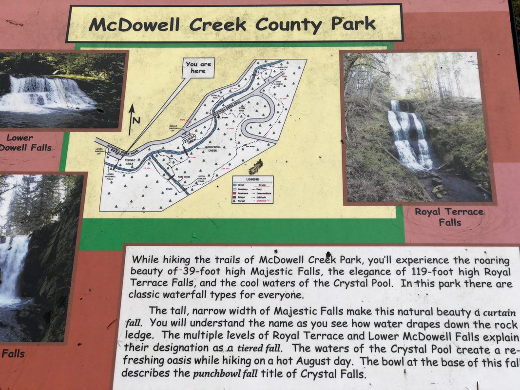
McDowell Creek Falls
Hike details:
Mileage: 1.8 mile loop w/ 340 ft. elevation gain
Approximate hike time: 46 minutes w/ an average pace of 2.3 mph
Difficulty: Easy
Trail usage: Medium on weekends, low on weekdays
Highest elevation: 1,100 ft. Lowest elevation: 805 ft.
General location: 15 miles east of Lebanon - McDowell Creek County Park
Accessible: Year-round
(Best time to go is late February through May when the waterfalls are full).
Permits required: N/A
Pit toilet at trailhead: Yes
Trail allows: Dogs on leash
Possible dangers: Slippery trails and stairs when there are icy conditions.
Description:
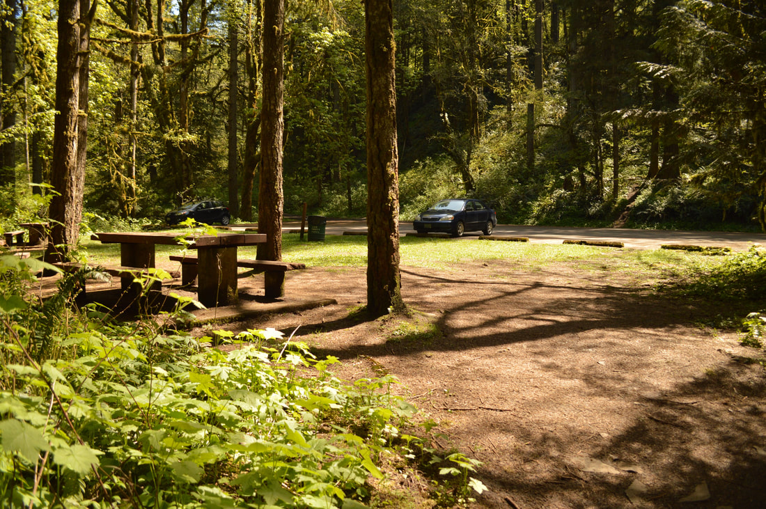
McDowell Creek County Park is a low elevation loop hike, perfect for a quick outing for any season. The main parking area has room for about 15 cars. If this parking lot is full, there is another smaller parking area about a mile up the road, as well as a larger parking lot up by Majestic Falls. Near the parking area there are also a few picnic tables where you could have a picnic right next to the beautiful creek.
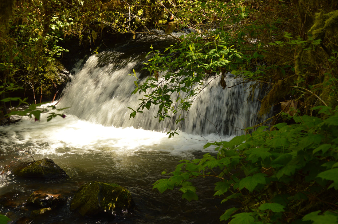
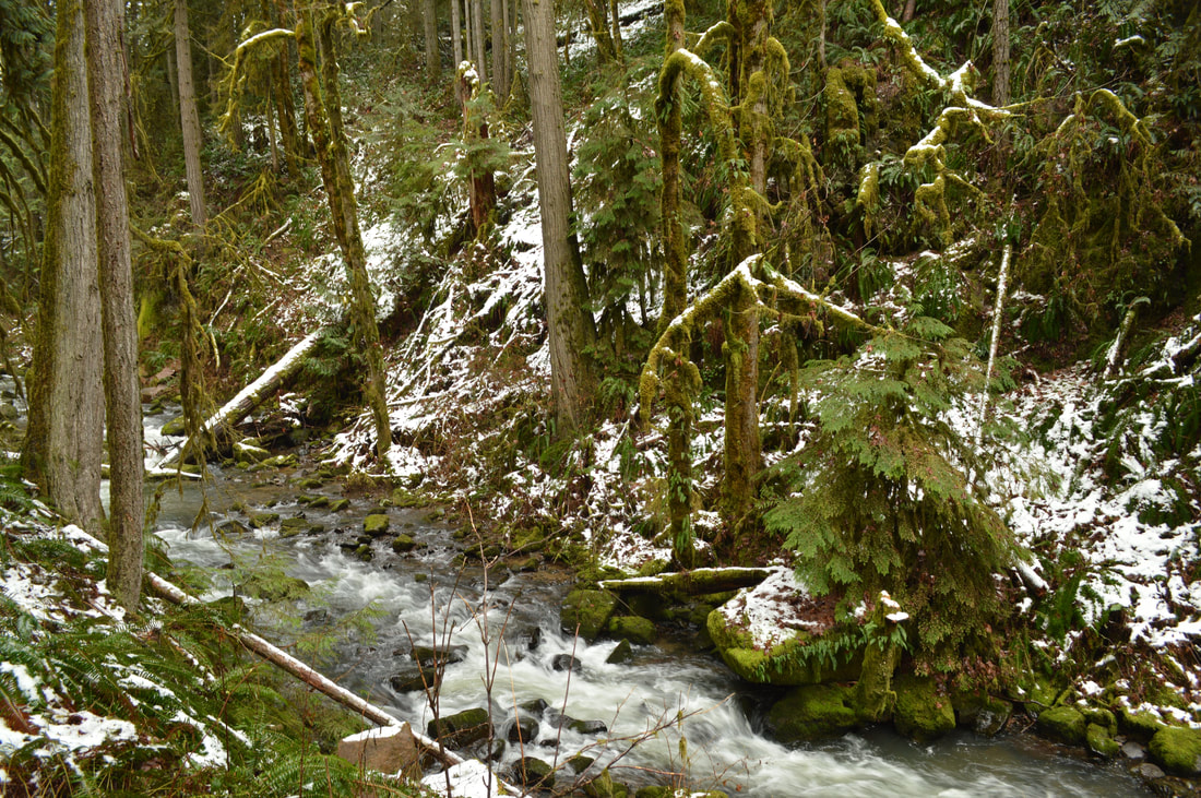
(Little no name falls at the beginning of the hike)
|
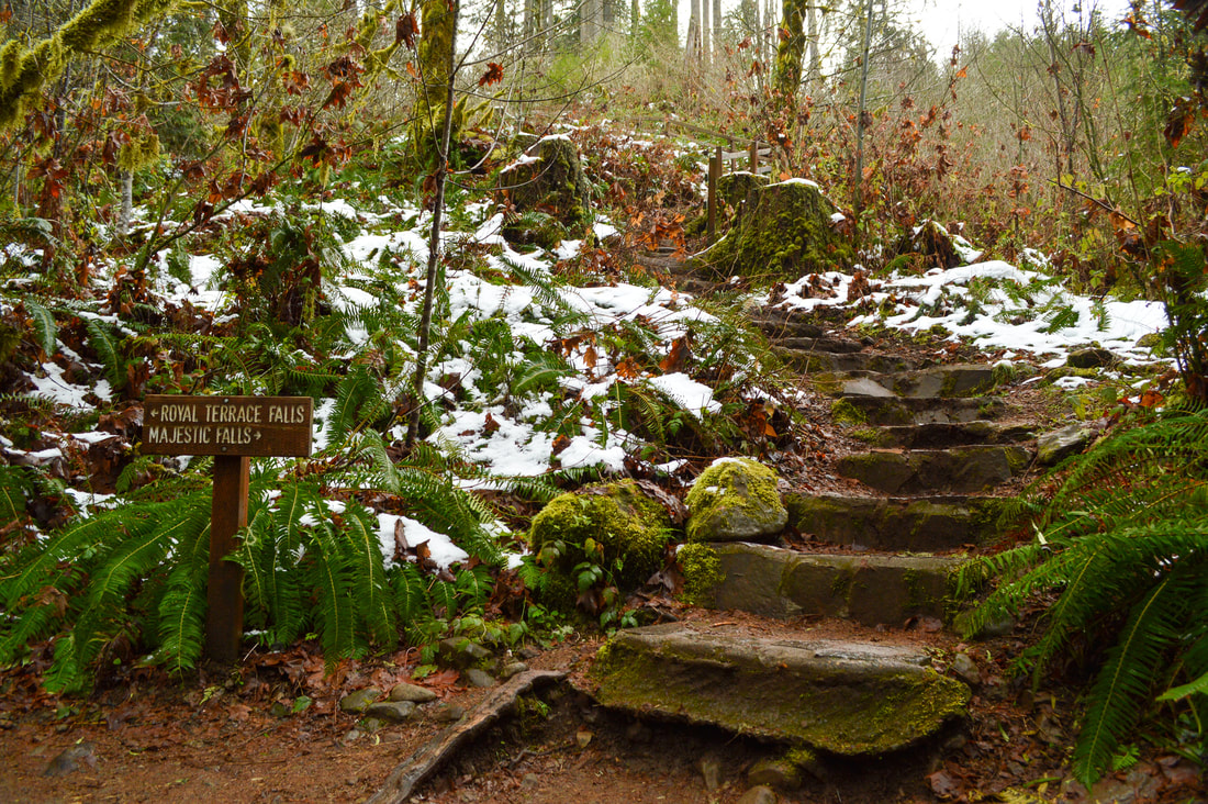
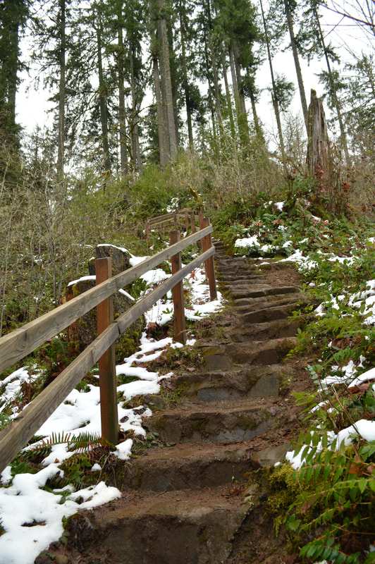
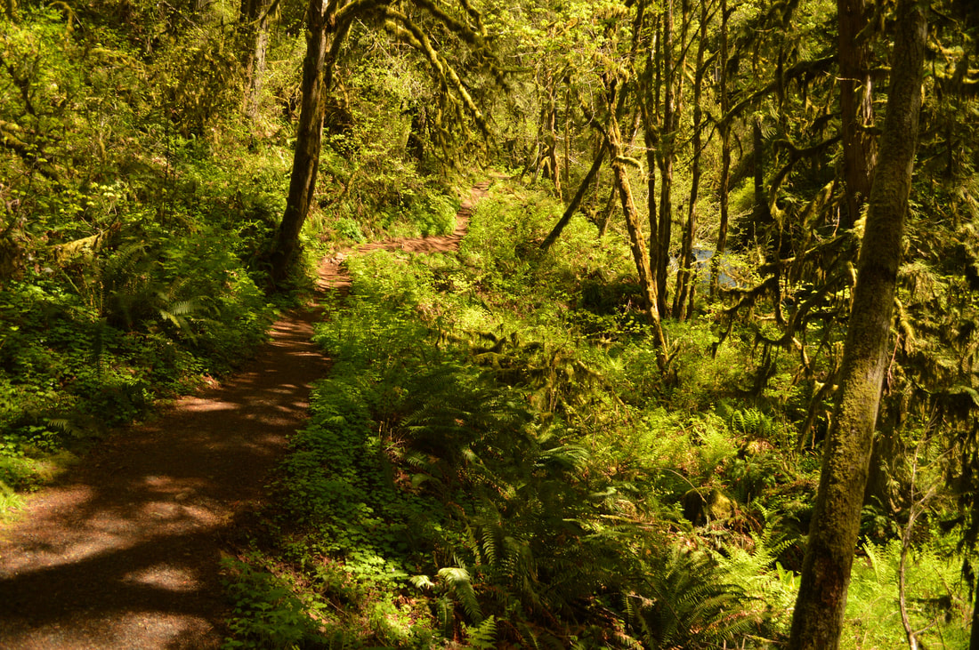
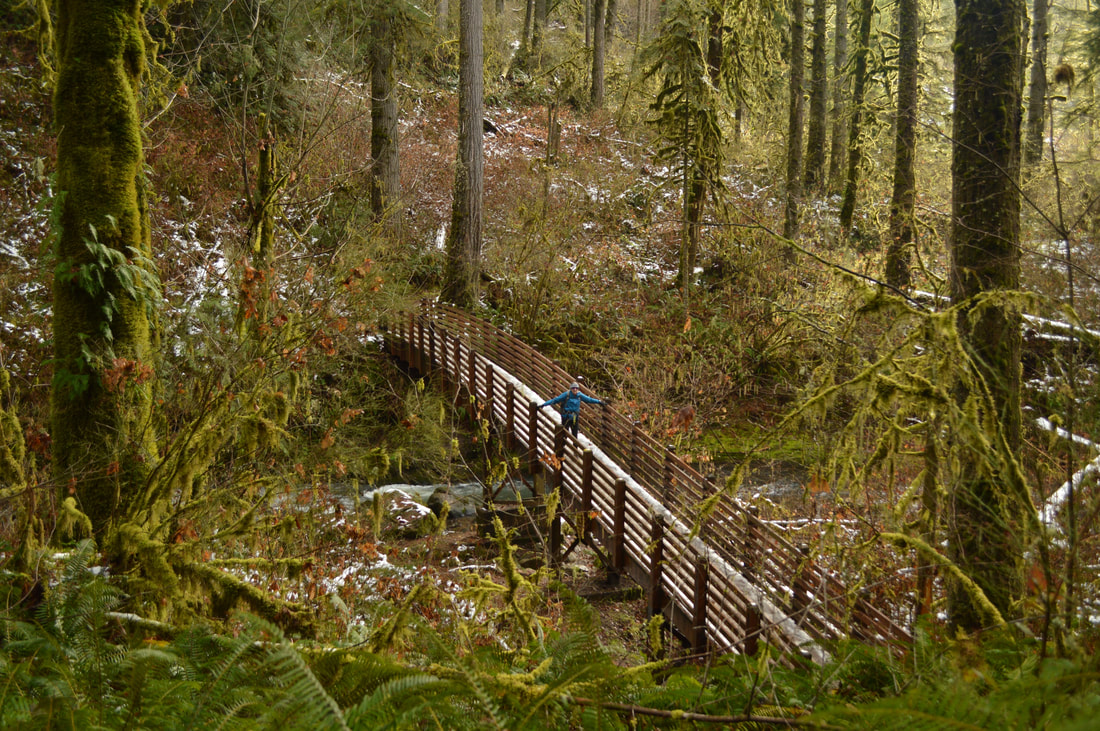
From the parking lot you will cross a bridge and the trail starts out alongside McDowell Creek through a lush forest of mossy big leaf maple, alder and Douglas fir trees. A quarter of a mile in, you will come to your first trail split. The trail to the left will take you to Royal Terrace Falls, however you will stay on the trail that continues straight up the hill. Ending the hike with Royal Terrace Falls as the crowning jewel is the best way to hike this loop. Head up the hill taking the many flights of steep stairs built out of stone.
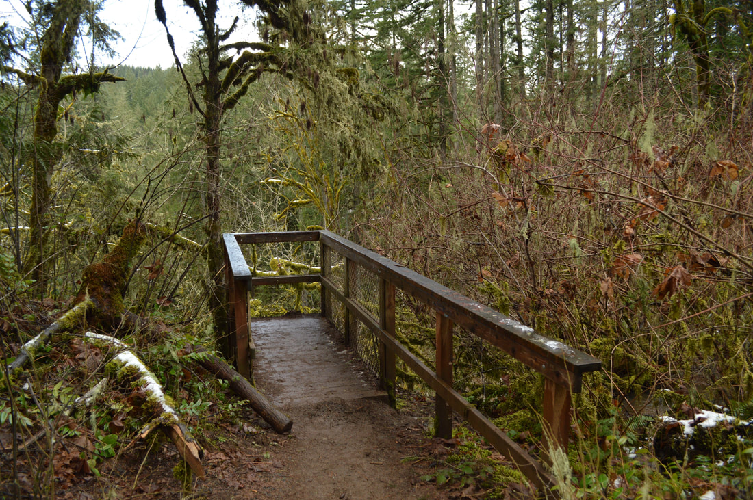
(viewpoint above Royal Terrace Falls)
|
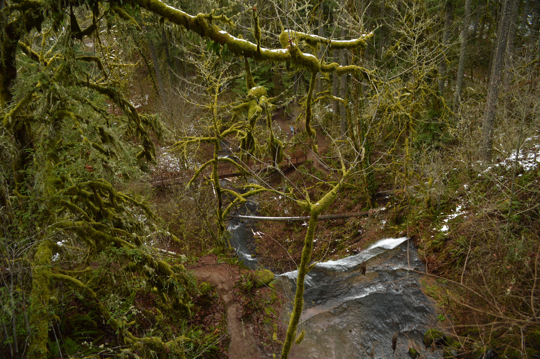
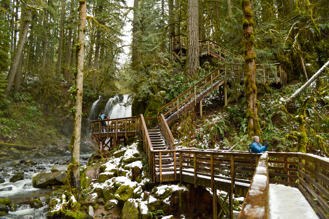
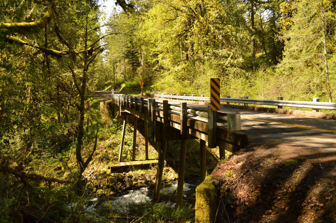
After you get to the top, you will see a small wooden balcony type platform where you can view Royal Terrace Falls from above. From here you will once again cross McDowell Creek and in less than 0.5 miles you will come to the next trail split. The trail to the left will take you back to Royal Terrace Falls and will cut the loop short by about a mile. The trail to the right will point you to Majestic Falls. The trail to Majestic Falls is very quiet and takes you away from the creek for a little while. You will have to cross two roads and then you will arrive at the Majestic Falls parking area. There are some picnic tables where you can enjoy a quick break.
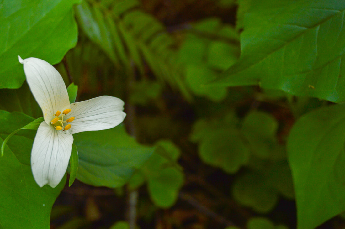
(blooming Trillium)
|
|
(upper parking and picnic area at Majestic Falls)
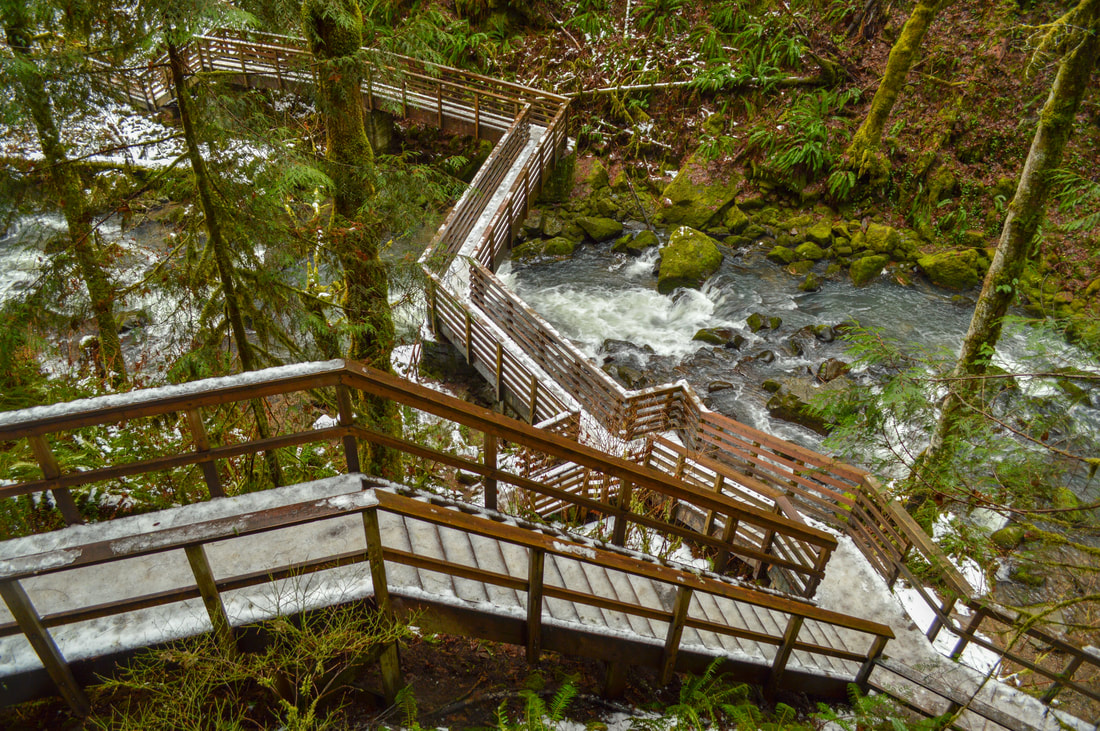
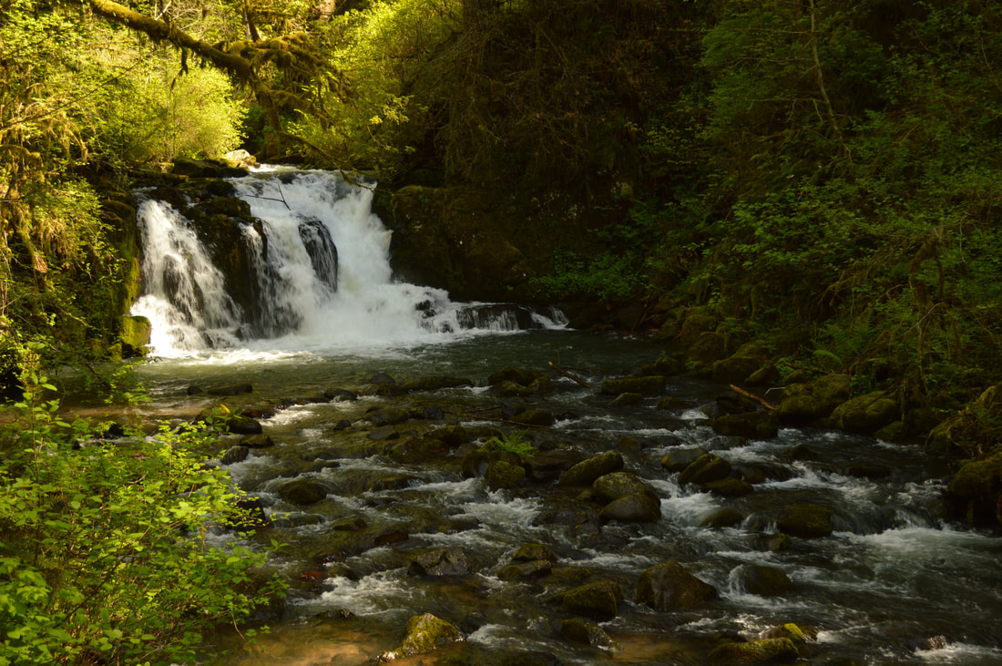
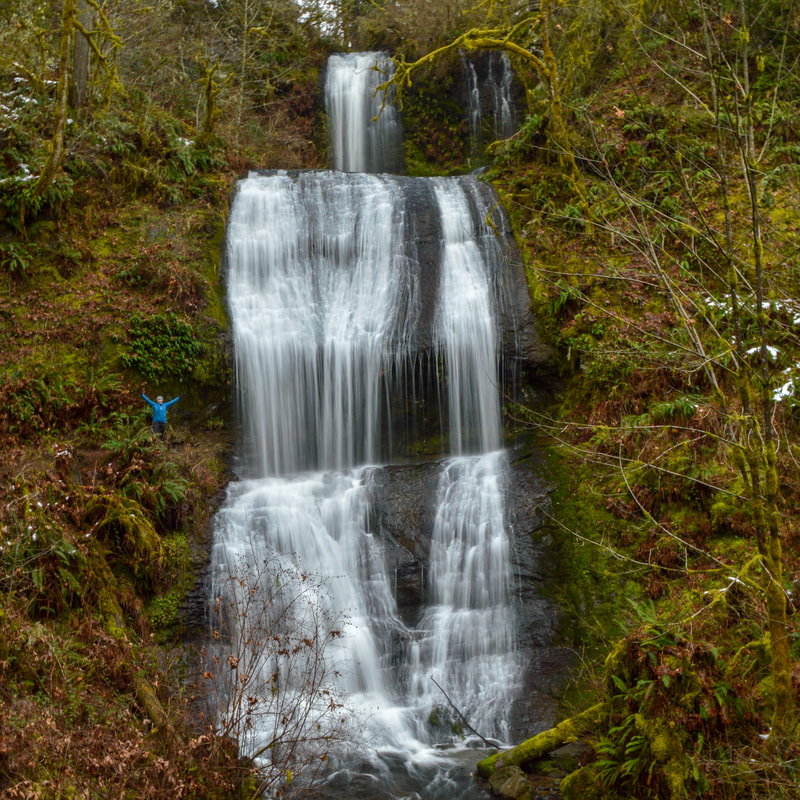
You will first be able to view Majestic Falls from the upper platform. Then you will walk down two flights of wooden stairs to get to the best viewing spot for the falls. This waterfall is 39 feet tall, and the spray hits the surrounding mossy rocks and ferns, creating lots of beautiful greenery around the waterfall. From here there are a few more wooden stairs to go down before hitting the trail again. If the weather has been frosty, please be careful as the stairs and platforms can become icy and slippery.
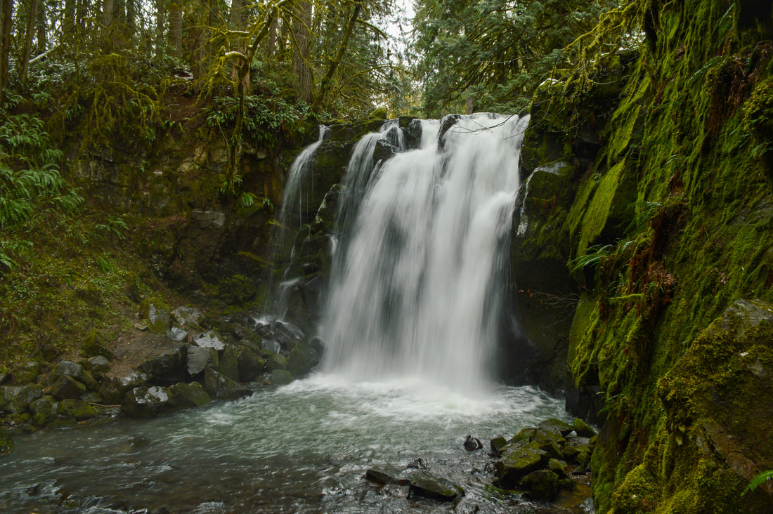
(Majestic Falls)
|
(Crystal Pool & Lower McDowell Falls)
|
During your walk back, make sure to keep your eyes open for a beautiful pool in the river called Crystal Pool. After hiking 0.3 miles you will come back to the road, cross here and walk 0.3 more miles until you come to a beautiful bridge at Royal Terrace Falls. This waterfall stands at a total of 119 feet and elegantly cascades down three separate terraces. From here you will cross the bridge and continue 0.2 miles back to the main parking area.
|
|
McDowell Creek Falls Loop is easy and perfect for an outing with the whole family. Coming here in the spring will offer raging waterfalls and fresh green buds on the trees. The summertime will offer warmer temperatures and kids can splash in the creek. During the fall you will see the bigleaf maple trees change colors, and during the winter you might even see a dusting of snow.
(Royal Terrace Falls)
Directions:
From Salem
- Drive I-5 S for a total of 20.7 miles, then take exit 233 toward Lebanon/Sweet Home. Merge onto US-20 E/Santiam Hwy SE for 11.8 miles, then turn left onto Wheeler St. for 0.2 miles. Turn right onto S Williams St. for 0.5 miles, then turn left onto E Grant St. for 0.5 miles. Continue onto Brewster Rd. for 0.2 miles, then turn right onto Berlin Rd. for 10.5 miles. Turn left onto McDowell Creek Dr. for 3 miles, then turn right into the parking area. (Total of 51.1 miles)
- Drive I-5 N for a total of 33.9 miles, then take exit 228 for OR-34 toward Lebanon/Corvallis. Turn right onto OR-34 E and once you have driven through the town of Lebanon continue 4 miles and then turn left at the McDowell Creek Park exit. Follow this road for 10 miles then turn right into the parking lot. (Total of 59.9 miles)
- Drive US-20 W towards Sisters for a total of 20 miles. Once you pass Sisters, continue driving on US-20 W towards Lebanon for another 25.1 miles, then at a Y junction keep left to stay on US-20 W for 41.7 miles. At Foster Lake turn right onto Quartzville Rd for 1.1 miles then turn left onto N. River Dr. After .4 miles turn right onto Sunnyside Dr. and stay on this road for 2.5 miles and finally turn left at Gp 500 and stay straight when turns into McDowell Creek Dr. After a total of 3 miles the destination will be on your left. (Total of 96.8 miles)
- Total of 98.1 miles via Salem.
- Total of 216.4 miles via Eugene.
|
To get a more in-depth and personal view of this hike, watch the YouTube video.
|
-This trail write-up was last updated January 2018-
*All pictures are taken by Franziska Weinheimer *Disclaimer: The trail descriptions, mileage, GPS tracks and difficulty ratings depicted on this website are never 100% accurate. Always hike at your own risk, using your own knowledge, equipment and common sense. Franziska Weinheimer/Hike Oregon are not responsible if you or anyone in your party gets injured or lost while attempting one of these or any other hikes.
|