Top 10 Oregon Spring Hikes
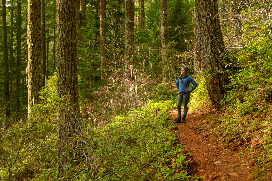
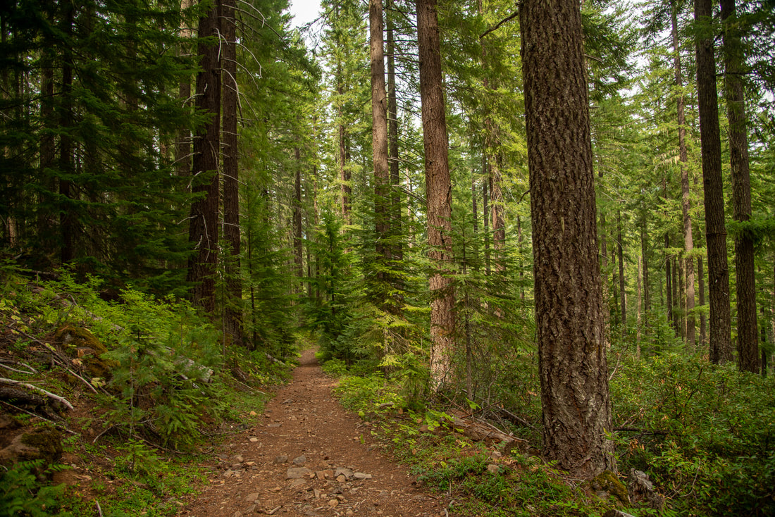
As the weather starts to get nicer and the days are getting longer, spring hikes are on everyone's mind. Here are some of the best spring hikes throughout the state of Oregon featuring waterfalls, wildflowers, beautiful views, lakes and amazing lush green forests. Whether you are wanting to train for those summer summits, or just take a short stroll outside with your kids, you will find something that suits your needs on this list.
1) Multnomah & Wahkeena Falls
|
|
Closest town: Troutdale, Corbett, Portland & Cascade Locks
Trail type: Loop
Mileage: 6.2 miles w/ 1,600 ft. elevation gain
Terrain difficulty: Moderate
Trail usage: High to very high
Best spring months to hike this trail: March, April, May, June
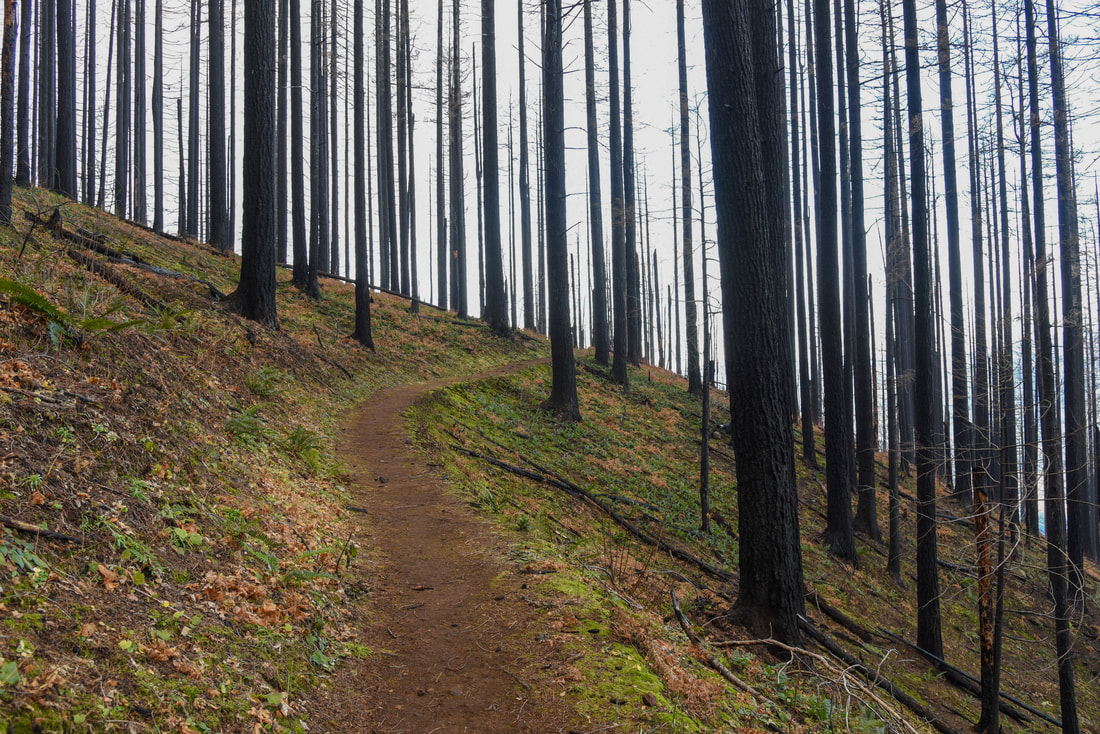
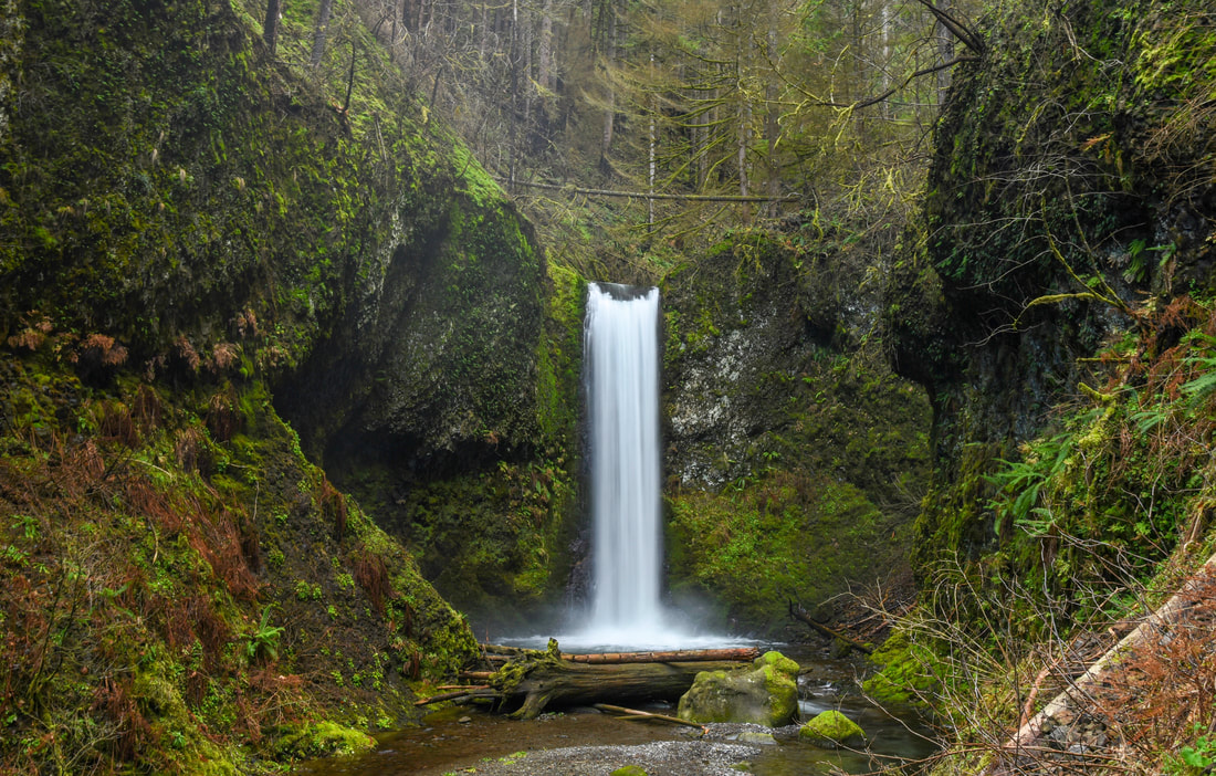
About the hike: This loop hike was effected by the 2017 Eagle Creek Fire and was closed until late fall 2018. There is quite significant fire damage to the area, but the trail has been restored and the loop is just as beautiful as ever. Enjoy 4 of Oregon's most iconic waterfalls and a walk through tall trees and what will soon again be lush undergrowth. This well-known trailhead starts at Multnomah Falls, Oregon's tallest waterfall, and is only 30 miles from Portland.
(Click here for more information and directions)
Trail type: Loop
Mileage: 6.2 miles w/ 1,600 ft. elevation gain
Terrain difficulty: Moderate
Trail usage: High to very high
Best spring months to hike this trail: March, April, May, June
About the hike: This loop hike was effected by the 2017 Eagle Creek Fire and was closed until late fall 2018. There is quite significant fire damage to the area, but the trail has been restored and the loop is just as beautiful as ever. Enjoy 4 of Oregon's most iconic waterfalls and a walk through tall trees and what will soon again be lush undergrowth. This well-known trailhead starts at Multnomah Falls, Oregon's tallest waterfall, and is only 30 miles from Portland.
(Click here for more information and directions)
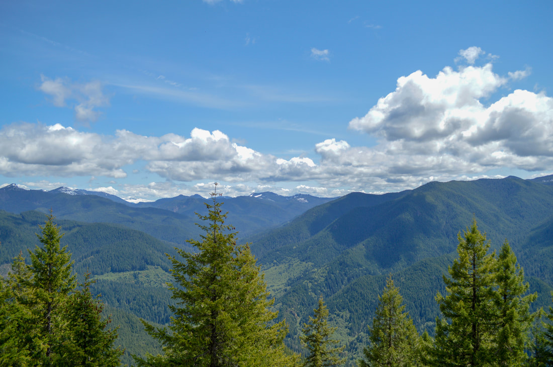
2) Marys Peak East Ridge
|
|
Closest town: Corvallis
Trail type: Loop
Mileage: 6.2 miles w/ 1,635 ft. elevation gain
Terrain difficulty: Moderate
Trail usage: Low to medium (until you get to the upper part that people can drive to)
Best spring months to hike this trail: End of April to mid-May for wildflowers
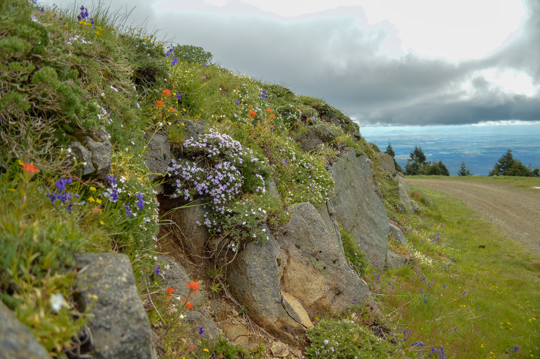
About the hike: This loop hike takes you up to the top of Marys Peak. It is so lush and green in the spring, and at the summit you will be greeted with meadows of wildflowers and 360 degree views. On a clear day you can see from the ocean all the way to the Cascade Mountains and everything in between.
(Click here for more information and directions)
Trail type: Loop
Mileage: 6.2 miles w/ 1,635 ft. elevation gain
Terrain difficulty: Moderate
Trail usage: Low to medium (until you get to the upper part that people can drive to)
Best spring months to hike this trail: End of April to mid-May for wildflowers
About the hike: This loop hike takes you up to the top of Marys Peak. It is so lush and green in the spring, and at the summit you will be greeted with meadows of wildflowers and 360 degree views. On a clear day you can see from the ocean all the way to the Cascade Mountains and everything in between.
(Click here for more information and directions)
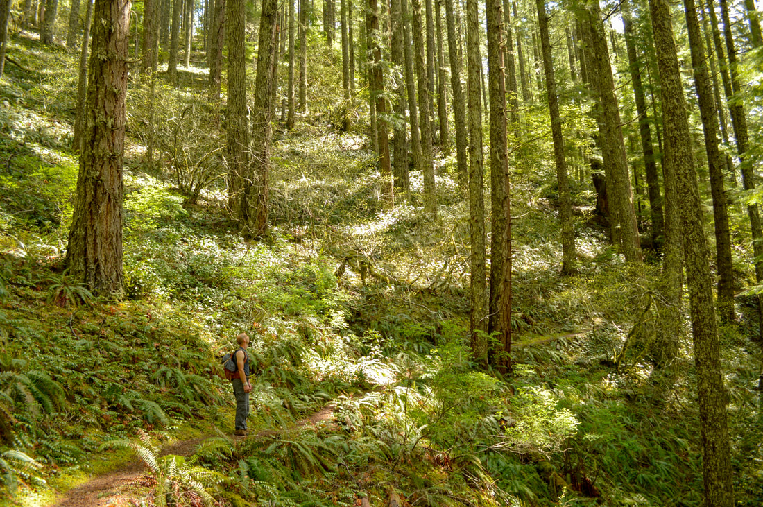
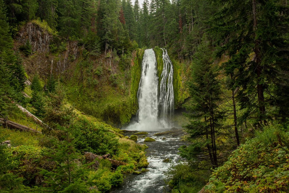
3) Trout Creek to Rooster Rock
|
|
Closest town: Sweet Home
Trail type: Out and back
Mileage: 6.8 miles w/ 2,700 ft. elevation gain
Terrain difficulty: Difficult
Trail usage: Low
Best spring months to hike this trail: end of March, April, May and June
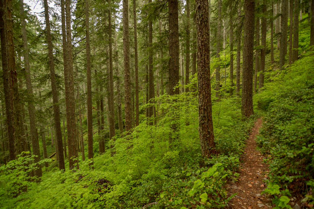
About the hike: This is a wonderful hike for those of you who are training for those summer summits. It is a pretty steep hike through an absolutely stunning forest that is thick with fern undergrowth. Near the top you will see a unique rock pillar called Rooster Rock where folks sometimes rock climb. The trail ends at a viewpoint where you can see the entire South Santiam valley.
(Click here to read more about this hike and to get directions- this post is for members only, you can purchase the seasonal membership for $9.99)
Trail type: Out and back
Mileage: 6.8 miles w/ 2,700 ft. elevation gain
Terrain difficulty: Difficult
Trail usage: Low
Best spring months to hike this trail: end of March, April, May and June
About the hike: This is a wonderful hike for those of you who are training for those summer summits. It is a pretty steep hike through an absolutely stunning forest that is thick with fern undergrowth. Near the top you will see a unique rock pillar called Rooster Rock where folks sometimes rock climb. The trail ends at a viewpoint where you can see the entire South Santiam valley.
(Click here to read more about this hike and to get directions- this post is for members only, you can purchase the seasonal membership for $9.99)
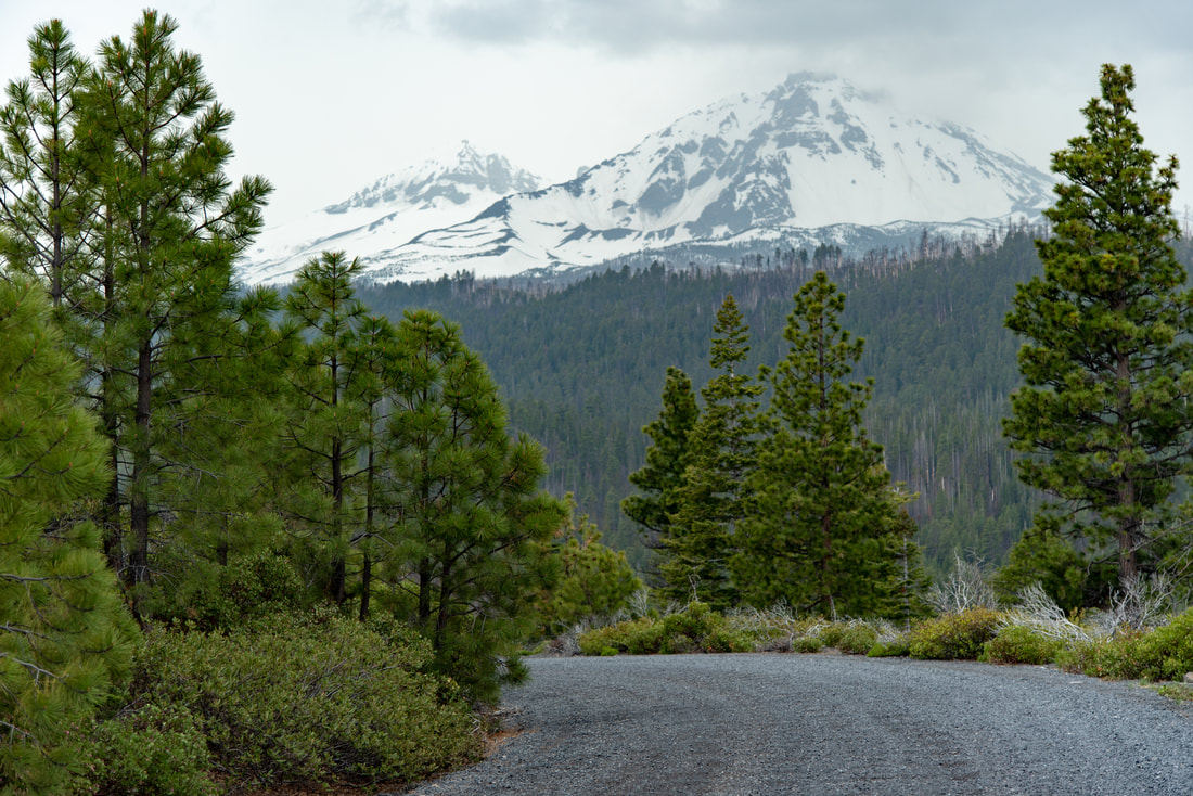
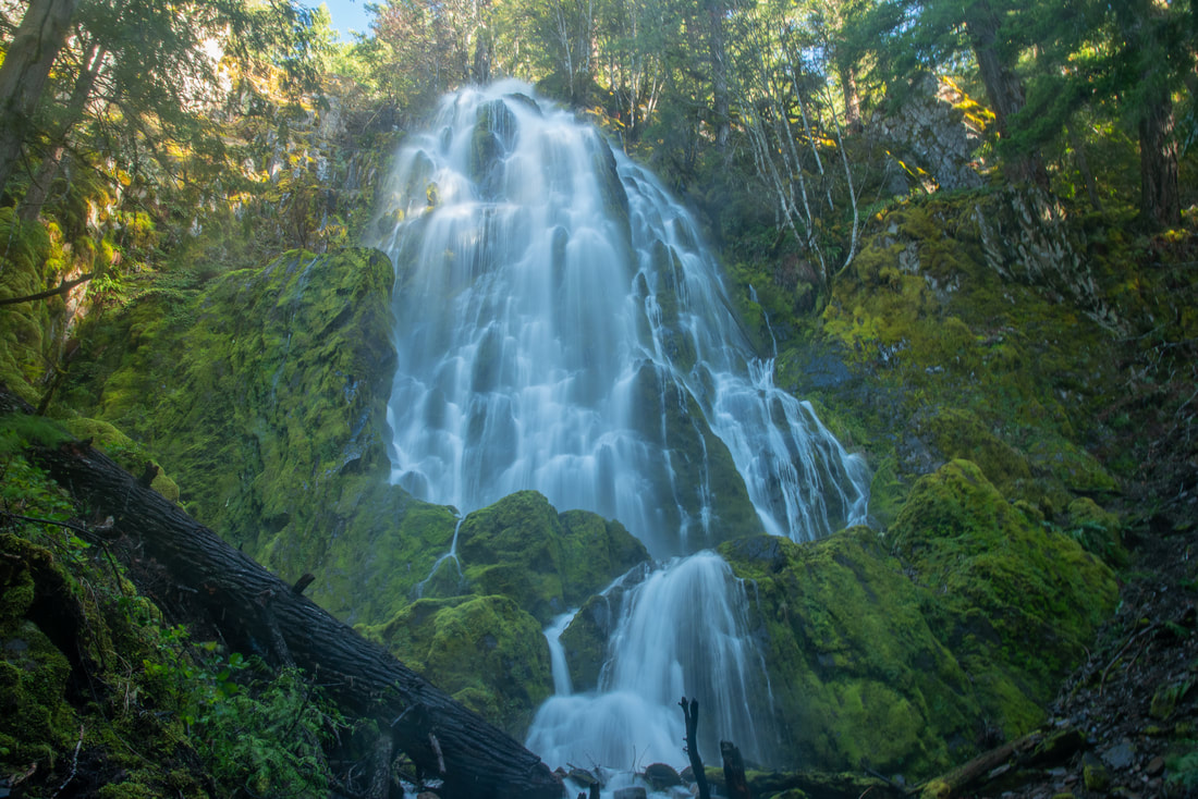
4) Chush Falls
|
|
Closest town: Sisters
Trail type: Out and back
Mileage: 5 miles w/ 660 ft. elevation gain
Terrain difficulty: Easy
Trail usage: Low to medium
Best spring months to hike this trail: mid to end of May, June
About the hike: This short and sweet hike is a relatively flat trail that follows Whychus Creek upstream to beautiful Chush Falls. The hike provides views of the Three Sisters as well as Broken Top and Tam McArthur Rim. This is a great hike for the whole family.
(Click here to read more about this hike and to get directions- this post is for members only, you can purchase the seasonal membership for $9.99)
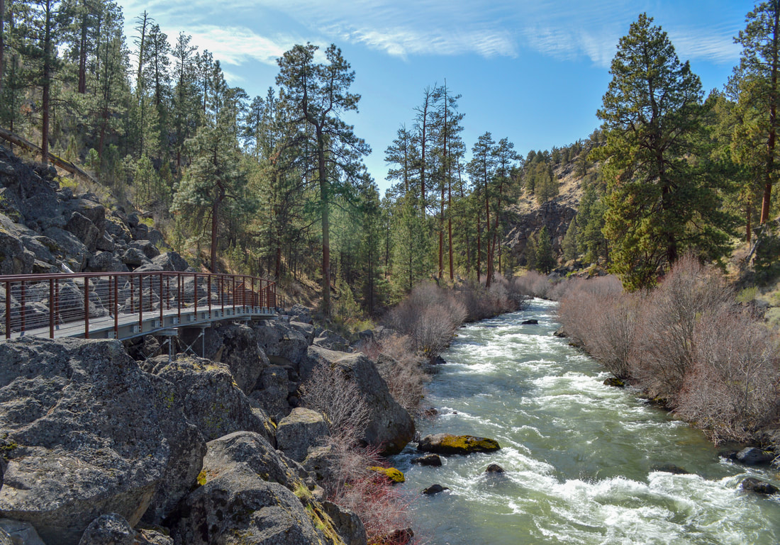
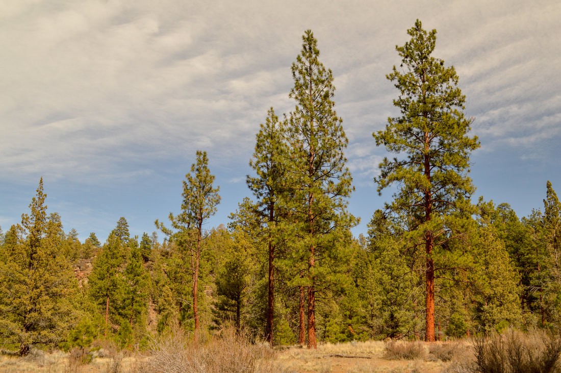
5) Tumalo State Park & Riley Ranch Nature Reserve
|
|
Closest town: Bend
Trail type: Out and back
Mileage: 4 miles or 6.6 miles w/up to 415 ft. elevation gain
Terrain difficulty: Easy
Trail usage: Low to medium on weekdays, high on weekends
Best spring months to hike this trail: March, April, May, June
About the hike: This state park located right on the outskirts of Bend offers stunning river views, beautiful meadows, wildlife and very large Ponderosa Pines. During the spring you will start to see more geese and ducks out on the water, as well as flowers starting to pop up along the trail. You can tailor this hike to whatever length you'd like.
(Click here for more information and directions)
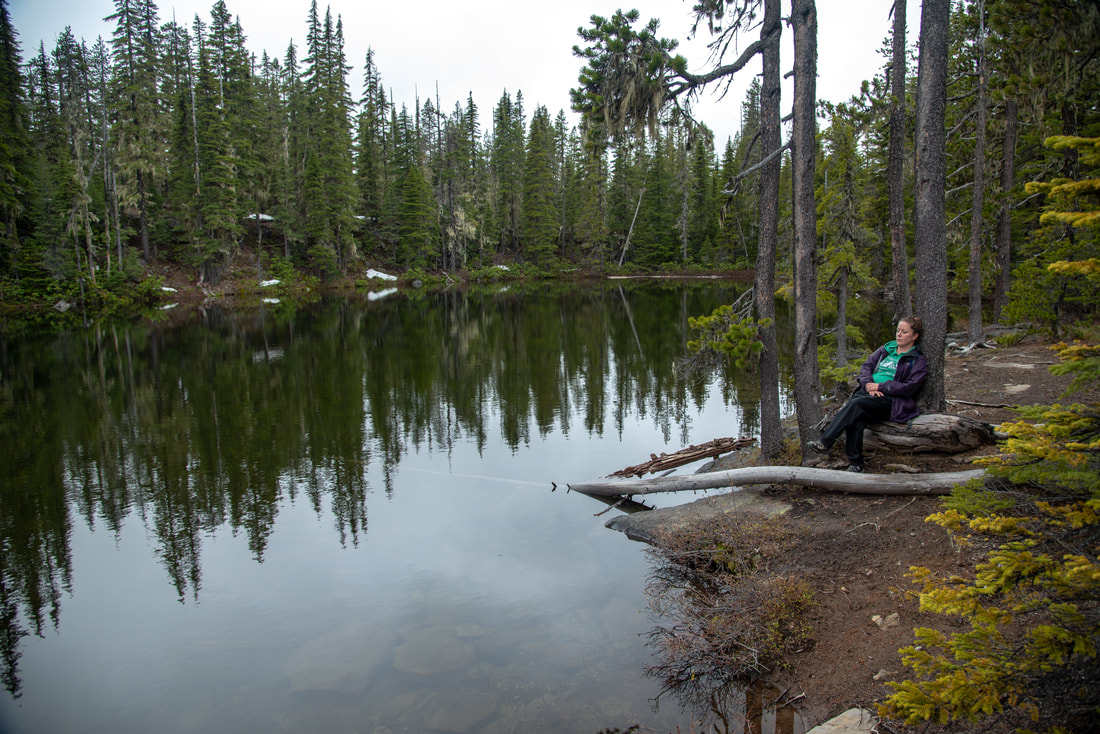
6) Erma Bell Lakes
|
|
Closest town: McKenzie Bridge and Oakridge
Trail type: Loop
Mileage: 8.5 miles w/ 1,760 ft. elevation gain
Terrain difficulty: Moderate
Trail usage: Low during the spring, medium during the summer
Best spring months to hike this trail: mid-May, June
About the hike: This loop hike is the perfect early season backpacking trip! There are multiple lakes you can choose to camp at and this area offers waterfalls, wildflowers and lots of wildlife viewing opportunities. This is also a great place to come and fish.
(Click here for more information and directions)
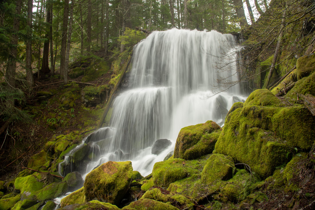
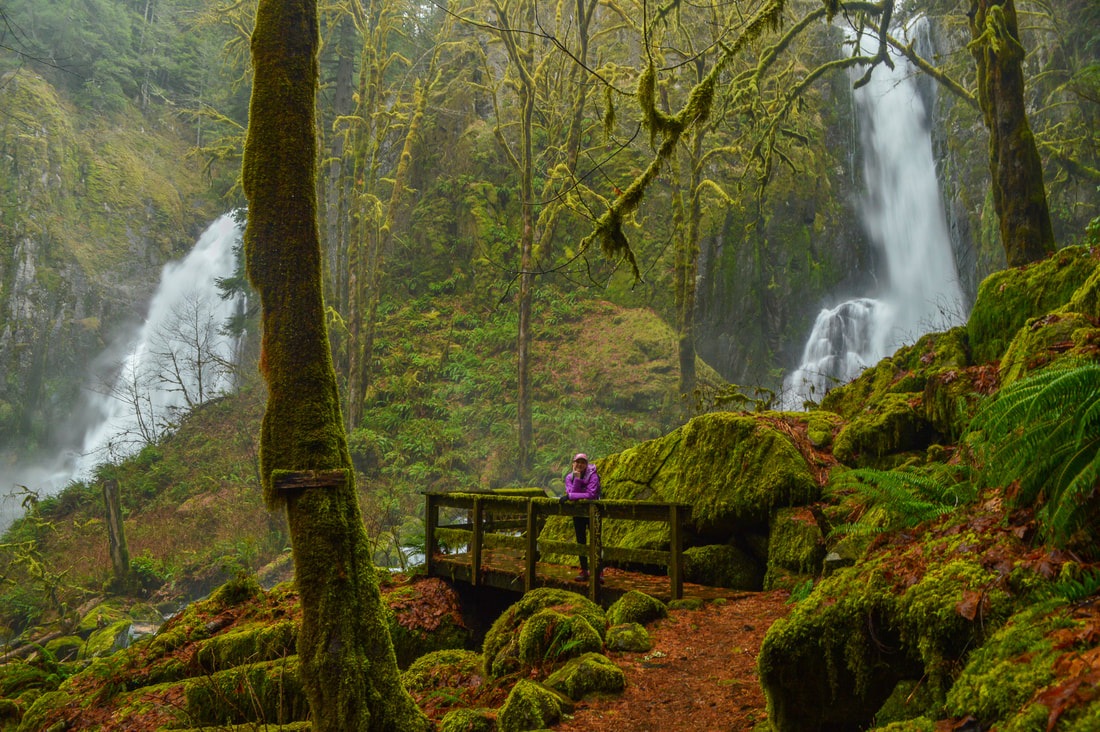
7) Kentucky Falls
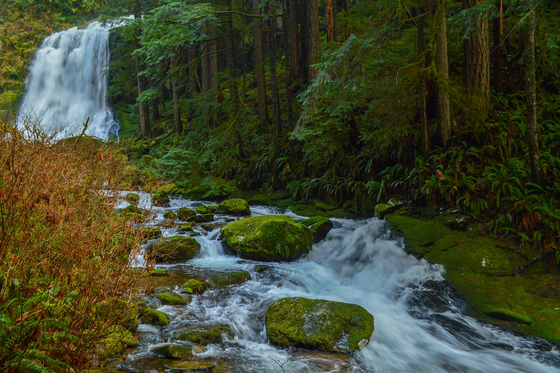
|
|
Closest town: Mapleton
Trail type: Out and back
Mileage: 4.5 miles w/ 780 ft. elevation gain
Terrain difficulty: Moderate
Trail usage: Low to medium
Best spring months to hike this trail: mid-March, April, May, June
About the hike: This hike is tucked in between massive old growth trees of the Siuslaw National Forest. The trail is fairly steep on the way down and you will see a total of 3 incredible large waterfalls along the way. This is one of the most lush and mossy trails in Oregon and during the spring months the waterfalls are raging! If you want to add some mileage to the hike, you can continue along the North Fork Smith River Trail to a beautiful pool/swimming hole.
(Click here for more information and directions)
8) Moon Falls
|
|
Closest town: Cottage Grove
Trail type: Out and back
Mileage: 1.2 miles w/ 180 ft. elevation gain
Terrain difficulty: Easy
Trail usage: Low to medium
Best spring months to hike this trail: March, April, May, June
About the hike: This easy hike is perfect for those hiking with toddlers and small children. This very level trail takes you through a beautiful forest and dead ends at a stunning waterfall where there is also a picnic bench.
(Click here for more information and directions)
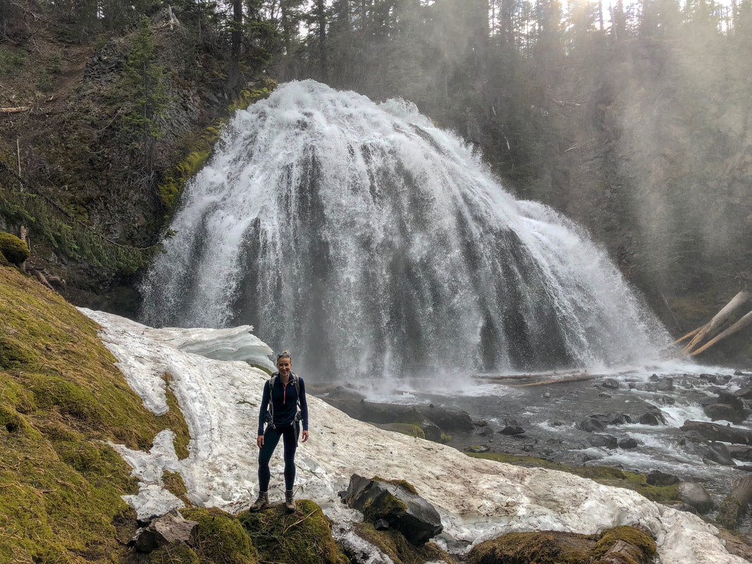
9) Lemolo Falls
|
|
Closest town: Chemult
Trail type: Out and back
Mileage: 2.5 miles w/ 600 ft. elevation gain
Terrain difficulty: Easy hike with moderate terrain
Trail usage: Low
Best spring months to hike this trail: Late April, May and early June
About the hike: This lesser known route to Lemolo Falls takes you through lodgepole pine and then a lush Douglas fir forested trail down to the banks of the North Umpqua River. You can walk down to the bottom of Lemolo Falls, a stunning 165 foot horsetail waterfall that creates a lush green grotto.
(Click here to read more about this hike and to get directions- this post is for members only, you can purchase the seasonal membership for $9.99)
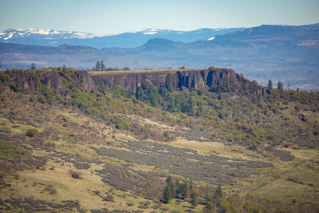
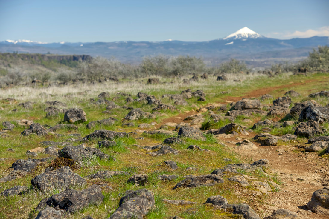
10) Lower Table Rock
|
|
Closest town: Medford/Central-Point
Trail type: Out and back and small loop
Mileage: 3.8 miles w/ 855 ft. elevation gain
Terrain difficulty: Easy
Trail usage: Medium on weekdays, high on weekends, very high on sunny early season weekends
Best spring months to hike this trail: April for wildflowers, May and early June are nice too
About the hike: This hike is short but it offers some of the best views and most unique flora in the Medford area. From the top of Lower Table Rock you can see the entire Rogue Valley as well as the Cascade Mountains to the east. In mid-spring you will see an abundance of wildflowers growing here, some that only grow on the Table Rocks.
(Click here for more information and directions)
*All pictures are taken by Franziska Weinheimer
*Disclaimer: The trail descriptions, mileage, GPS tracks and difficulty ratings depicted on this website are never 100% accurate. Always hike at your own risk, using your own knowledge, equipment and common sense. Franziska Weinheimer/Hike Oregon are not responsible if you or anyone in your party gets injured or lost while attempting one of these or any other hikes.