Grasshopper Ridge
via Grasshopper Meadow Trailhead
Hike details:
Mileage: 4.6 miles round trip w/ 850 ft. elevation gain
Approximate hike time: 2 hours w/ an average pace of 2.3 mph
Difficulty: Easy
Trail usage: Low
Highest elevation: 5,436 ft. Lowest elevation: 4,530 ft.
General location: 23 miles northeast of Westfir - Willamette National Forest
Accessible: June through November
(Best time to go is July for wildflowers, butterflies and grasshoppers).
Permits required: N/A
Pit toilet at trailhead: No
Trail allows: Dogs, horses, camping
Possible dangers: N/A
Description:Grasshopper Ridge is a very underrated short and easy hike through grassy meadows that have blooming wildflowers in July and a plethora of grasshopper. On clear days you can enjoy epic views of the surrounding hills as well as the Cascade Mountains!
|
|
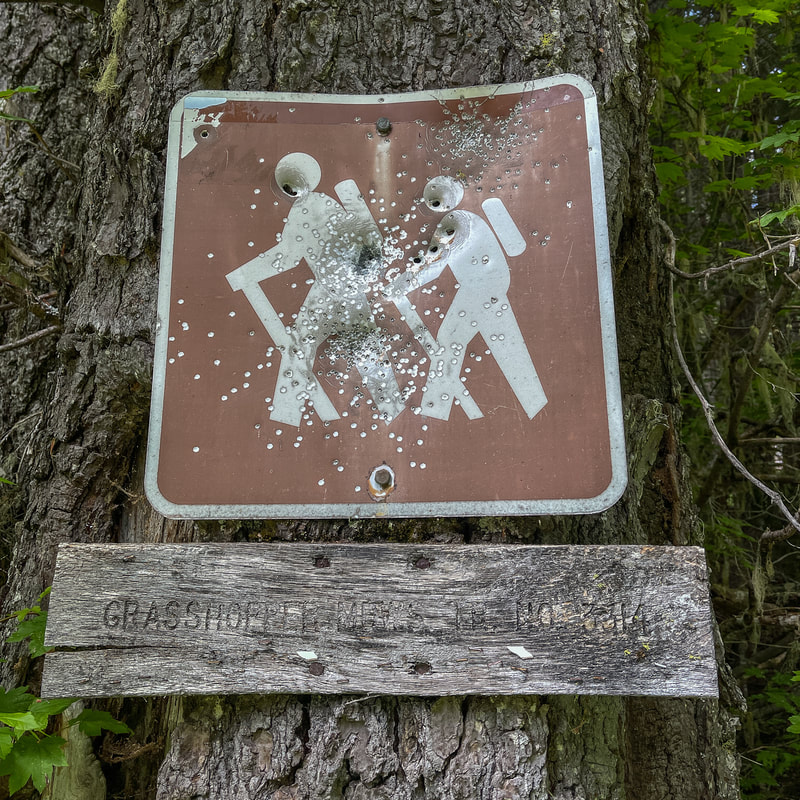
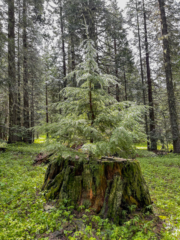
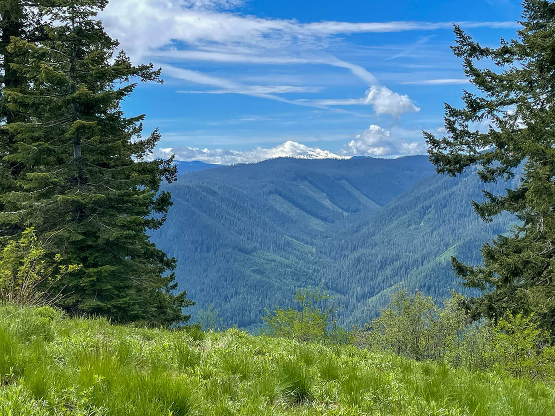
The parking area is a small turn out along the side of a gravel road and the trailhead sign is old with some bullet holes through it. The first 0.75 miles of trail take you through a mixed forest of cedar, hemlock and pine as you quickly gain some elevation. At the 0.8 mile mark, keep an eye out for a piped spring on the left side of the trail. This water is deliciously refreshing! (Even though it is spring water, it is always a good idea to filter it anyway). From here you will continue to hike through meadows and stands of trees, and at the 1.4 mile mark you will get your first view of Diamond Peak to your right.
|
(Diamond Peak from the first viewpoint)
|
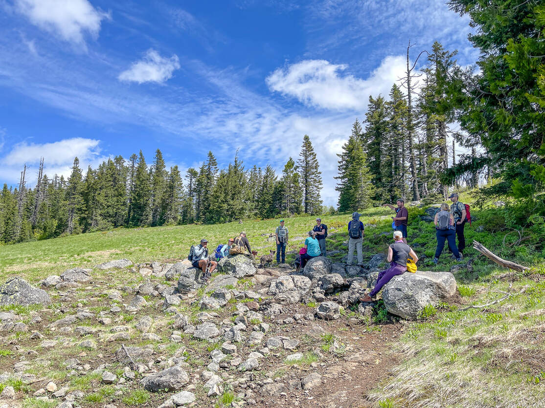
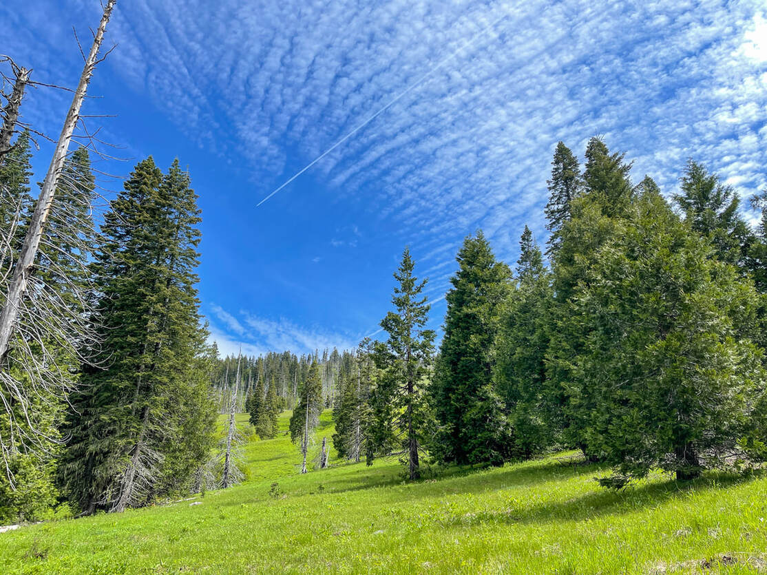
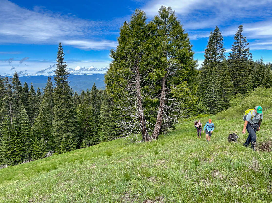
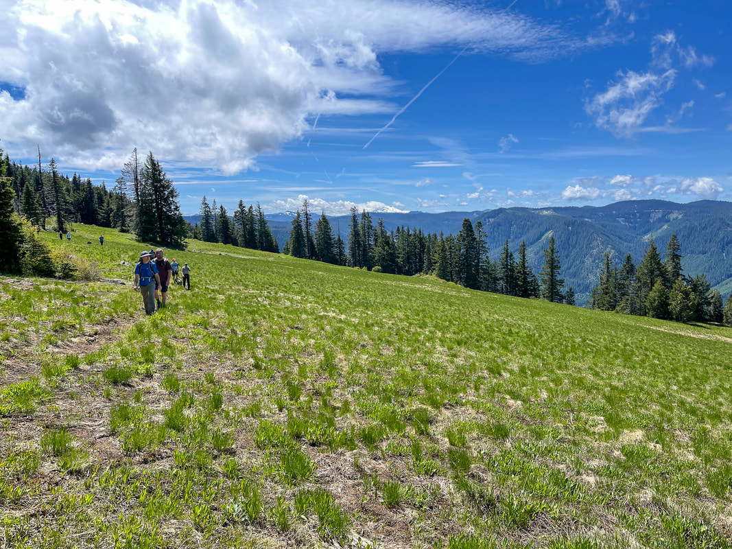
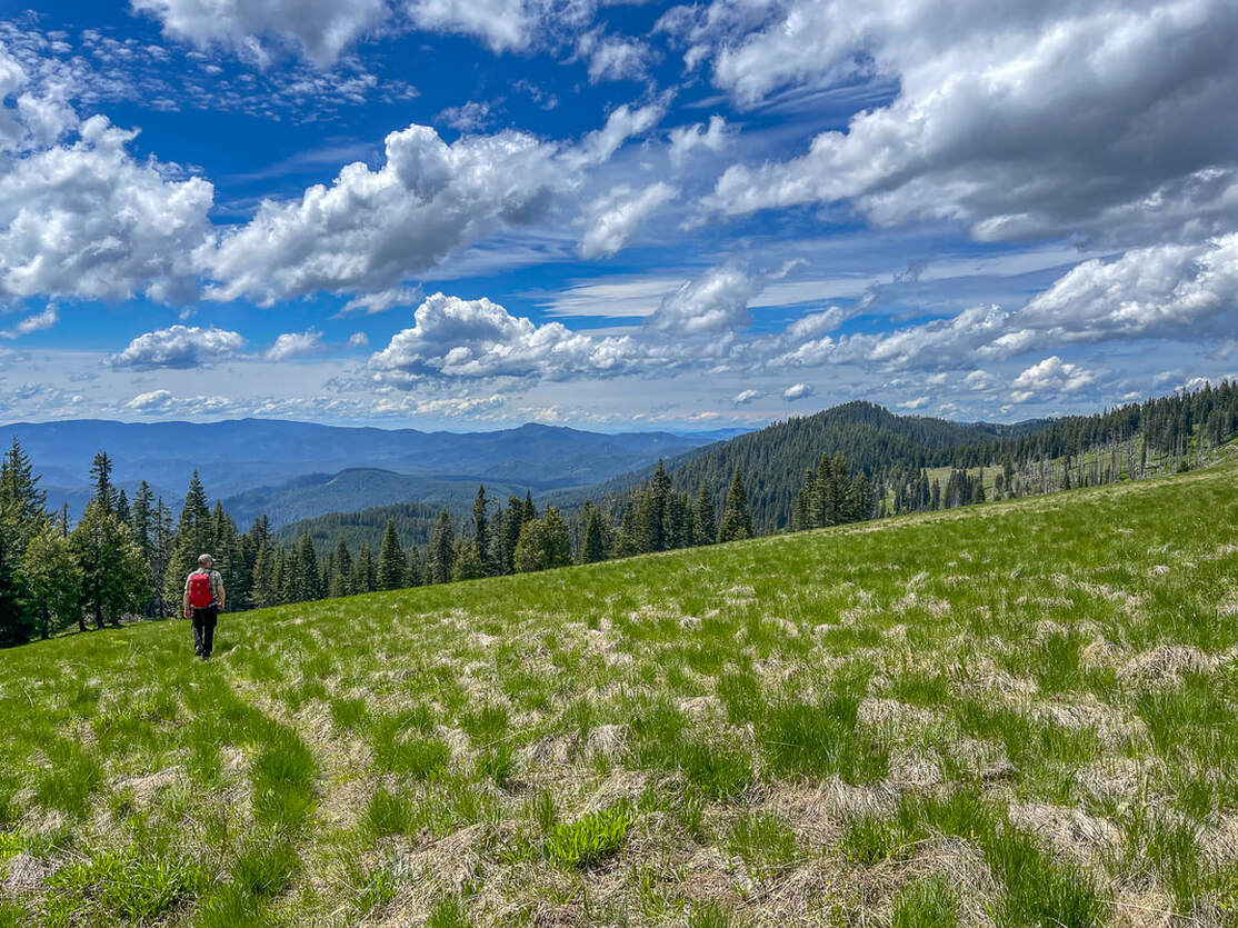
At the 1.6 mile mark there are some large rocks by big trees, making for a great place to sit and take a little break to reward yourself for being done with the main uphill portion of the hike. From here you will see the Grasshopper Mountain Trail continue to the right and the left, and it is highly recommend to explore both options. Take the trail to the left as it meanders through the meadow along Grasshopper Ridge where the views are expansive and in July you will see lots of beautiful wildflowers blooming. As the trail takes you through the meadow, you will also notice a wave of grasshoppers scamper through the grass with every step that you take. If you are afraid of bugs like grasshoppers, this is not the hike for you.
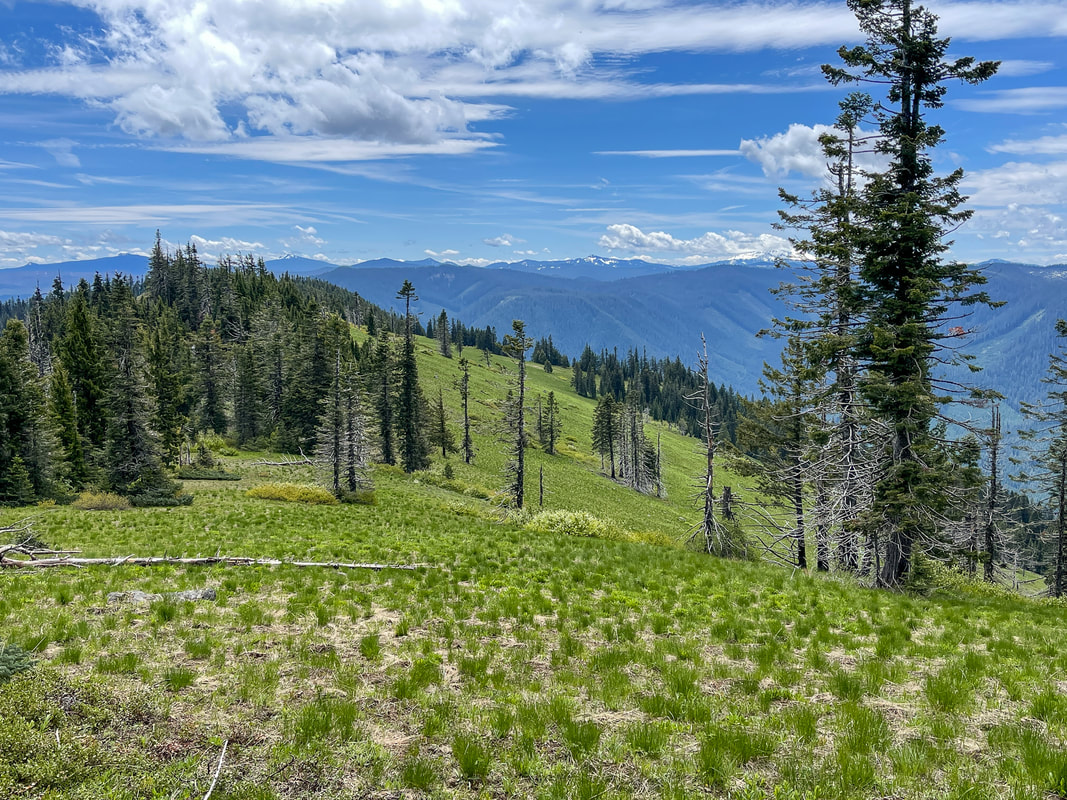
(Grasshopper Ridge/Grasshopper Meadow)
|
(Diamond Peak)
|
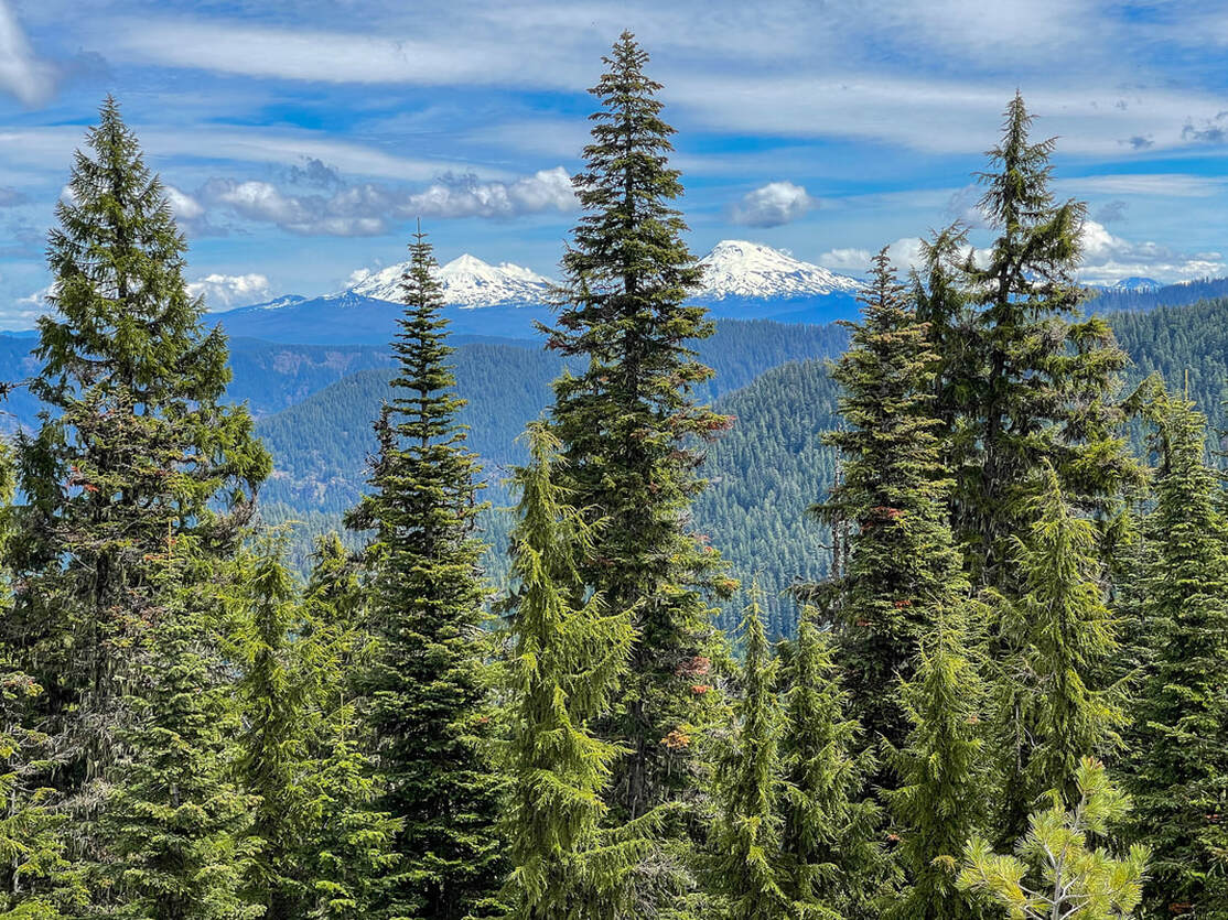
(view of the Three Sisters)
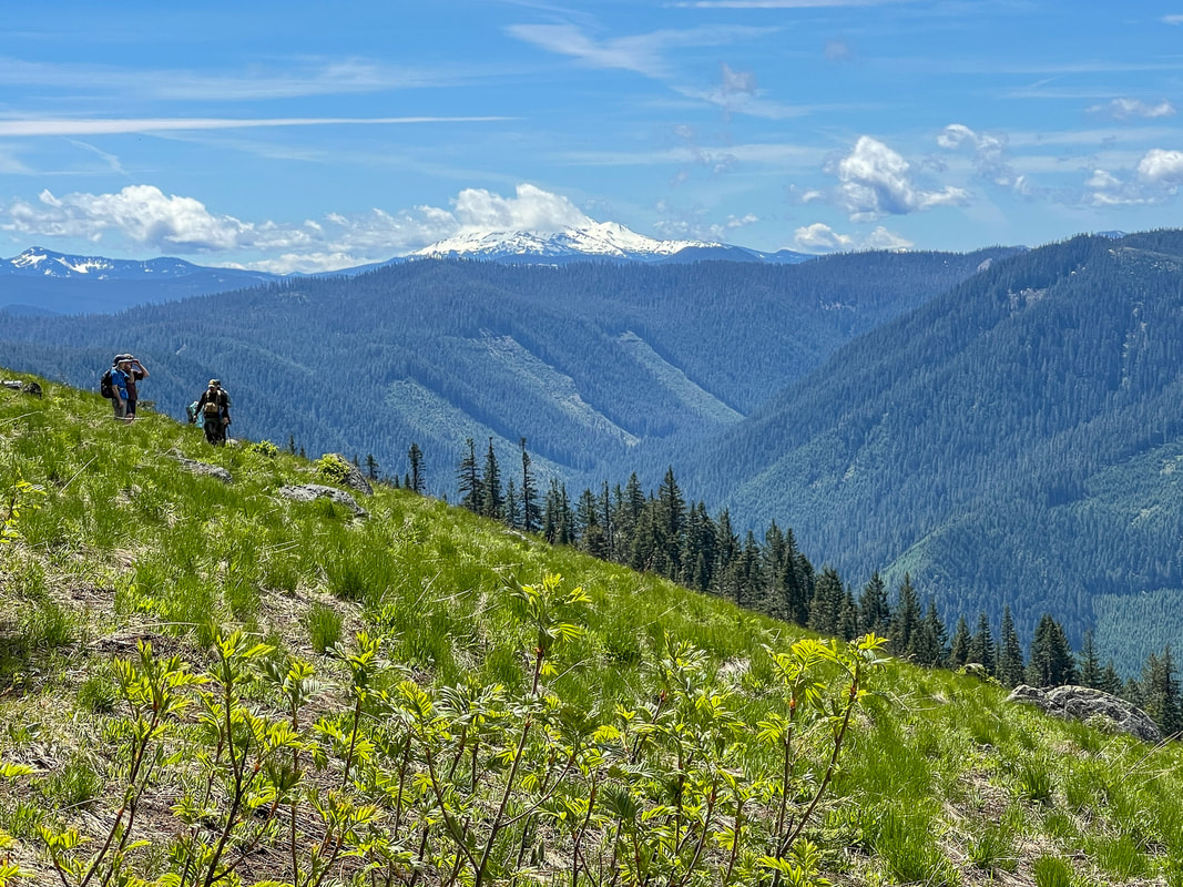
After hiking 0.5 miles along the ridge, the trail gains a small amount of elevation and takes you up to a saddle. From here you have amazing views to the east of the Three Sisters and Broken Top, as well as the hills and Diamond Peak to the south. The saddle viewpoint is a great please to turn around and head back the other way, because from here the trail crests the saddle and heads downhill on the east side of the ridge in the trees. (The Grasshopper Mountain Trail eventually takes you 3.5 miles down to Hiyu Ridge and Grasshopper Trailhead).
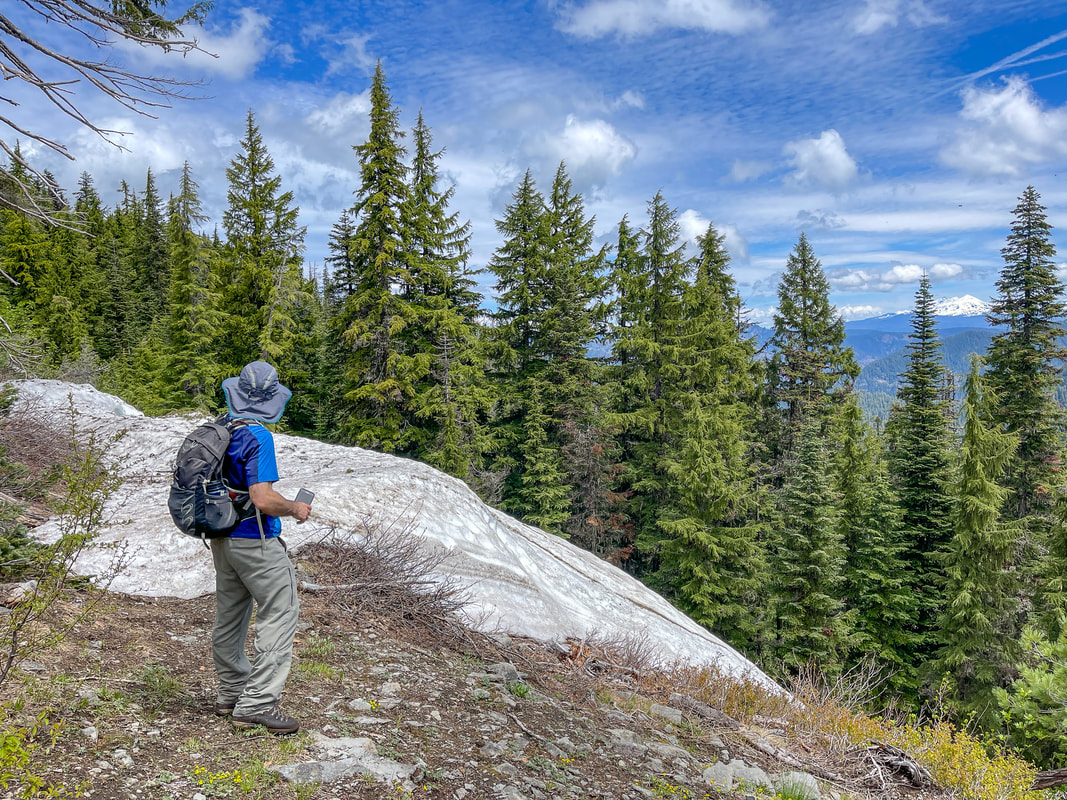
(late June snow drift)
|
|
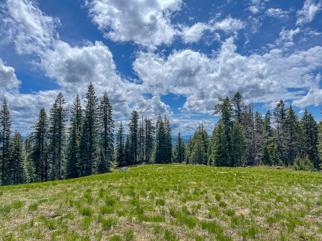
(the meadow at Grasshopper Point)
Hike back down the ridgeline to your original junction and instead of heading back to your car, continue straight past the junction for another 0.27 miles until you see a large flat open meadow with a few rocks at the far edge. At the far edge of the meadow is Grasshopper Point, a rocky area with wildflowers and a great unobstructed view of Diamond Peak. This would also be a great place to sit and have lunch. From Grasshopper Point, the Grasshopper Mountain Trail meanders up and down a ridgeline through the forest for 5.2 miles until it connects with the Chucksney Mountain Trail. So unless you are up for a long backpacking trip or you're on horseback, you would turn around at Grasshopper Point and go back 0.27 miles to the original junction and take a left back downhill through the large meadow and back to your car.
(Diamond Peak from Grasshopper Point)
|
(fresh bear scat at Grasshopper Point)
Grasshopper Meadows and Grasshopper Ridge is an absolutely stunning place to come to in July. Even though the initial 1.6 miles up to the ridgeline are steep, this trail is family friendly and there are no drop offs or sketchy places along the trail. Keep in mind that there are bears that eat the sweet fresh grasses here in June and July, so keep your eyes out for dark spots in the meadows while you're hiking. Seeing a black bear in Oregon is rare, so count yourself lucky if you do get to see one.
|
Directions:
From Westfir
- Drive on NF-19 for a total of 13 miles then turn left onto NF-1926 and cross the river. After 2.9 miles turn right onto NF-1927 for 2.1 miles, then turn right onto NF-1929 for 1.5 miles. At a Y junction, go left to stay on NF-1929 for another 1.7 miles, then at a T-junction turn right to stay on NF-1929 for 2.3 miles and find the trailhead on your right (as the road turns sharply to the left). (Total of 23.5 miles)
- Total of 64 miles via Westfir.
- Total of 125 miles via Westfir.
- Total of 126 miles via Westfir.
- Total of 170 miles via Westfir.
- Total of 217 miles via Eugene and Westfir.
-This trail write-up was last updated in June 2021-
*All pictures are taken by Franziska Weinheimer
*All pictures are taken by Franziska Weinheimer
*Disclaimer: The trail descriptions, mileage, GPS tracks and difficulty ratings depicted on this website are never 100% accurate. Always hike at your own risk, using your own knowledge, equipment and common sense. Franziska Weinheimer/Hike Oregon are not responsible if you or anyone in your party gets injured or lost while attempting one of these or any other hikes.