Fawn Lake
Hike details:
Mileage: 6.7 miles round trip w/ 890 ft. elevation gain (to Fawn Lake)
10.5 mile lollipop loop w/ 1,320 ft. elevation gain (Fawn Lake loop & Stag Lake side trip)
Approximate hike time: 2 hours 54 minutes w/ an average pace of 2.3 mph (to Fawn Lake and back)
4 hours 33 minutes w/ an average pace of 2.3 mph (Fawn Lake loop & Stag Lake side trip)
Difficulty: Moderate
Trail usage: Low on weekdays, medium on August weekends
Highest elevation: 5,905 ft. Lowest elevation: 4,820 ft.
General location: 37 miles southeast of Oakridge - Diamond Peak Wilderness - Deschutes National Forest
Accessible: June through November
(Best time to go is September, October and early November when the temperatures are cooler and there are no bugs).
Permits required: Northwest Forest Pass for parking
Pit toilet at trailhead: Yes
Trail allows: Dogs, horses, camping
Possible dangers: N/A
|
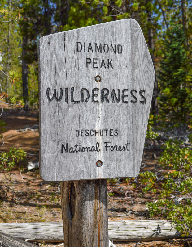
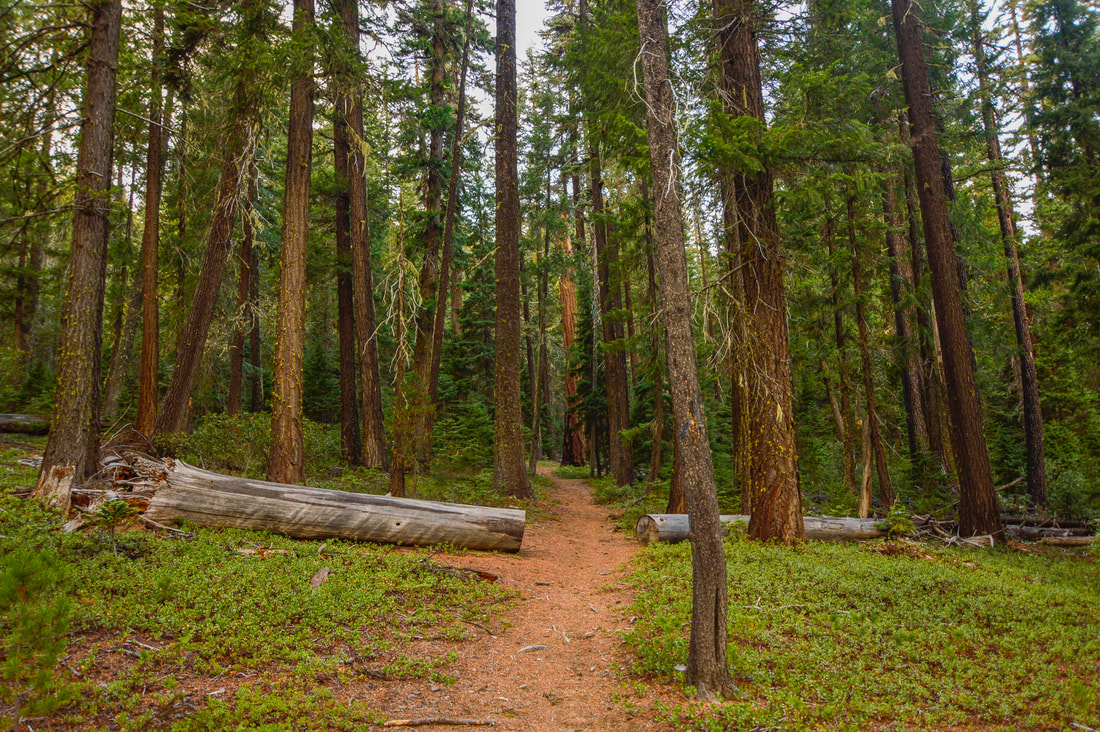
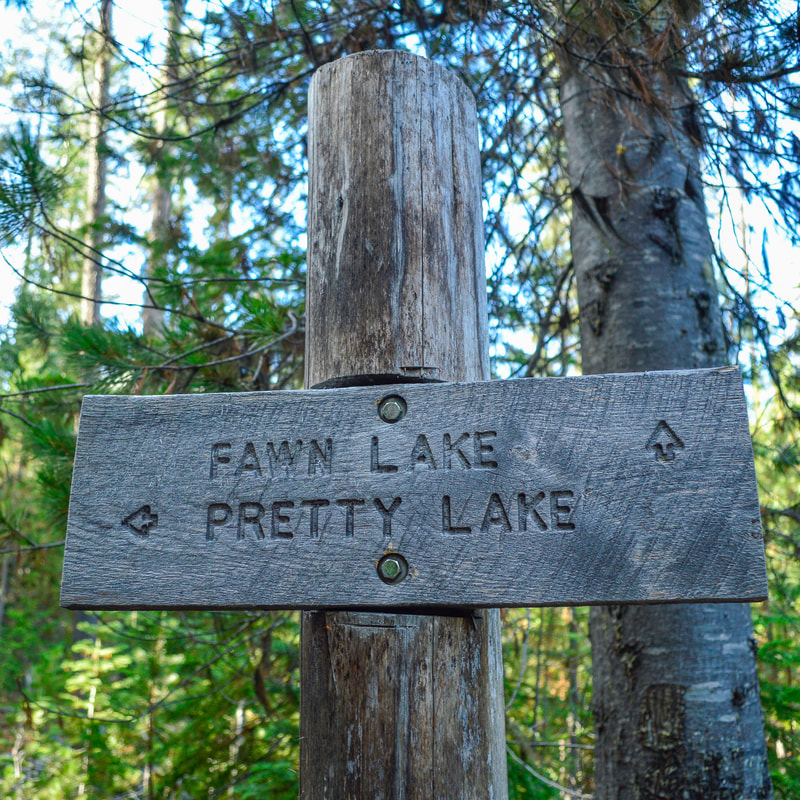
Description:Fawn Lake Trail is a beautiful hike in the Diamond Peak Wilderness. You can choose to do an easy round trip hike to Fawn Lake or you can make your trek longer and continue on to Stag Lake (which has backcountry camping) and then do a loop hike back to the car. Take the Fawn Lake Trail #3844.1 out of the parking/day use area and almost immediately cross Crescent Lake Road. Here you will enter the Diamond Peak Wilderness and the trail takes you through a beautiful thick Douglas-fir and mountain hemlock forest for 0.75 miles until you come to a trail junction. If you are doing the loop, this will be your return point, but regardless of whether or not you're doing the loop, you will continue on the Fawn Lake Trail to the right of the sign.
|
|
|
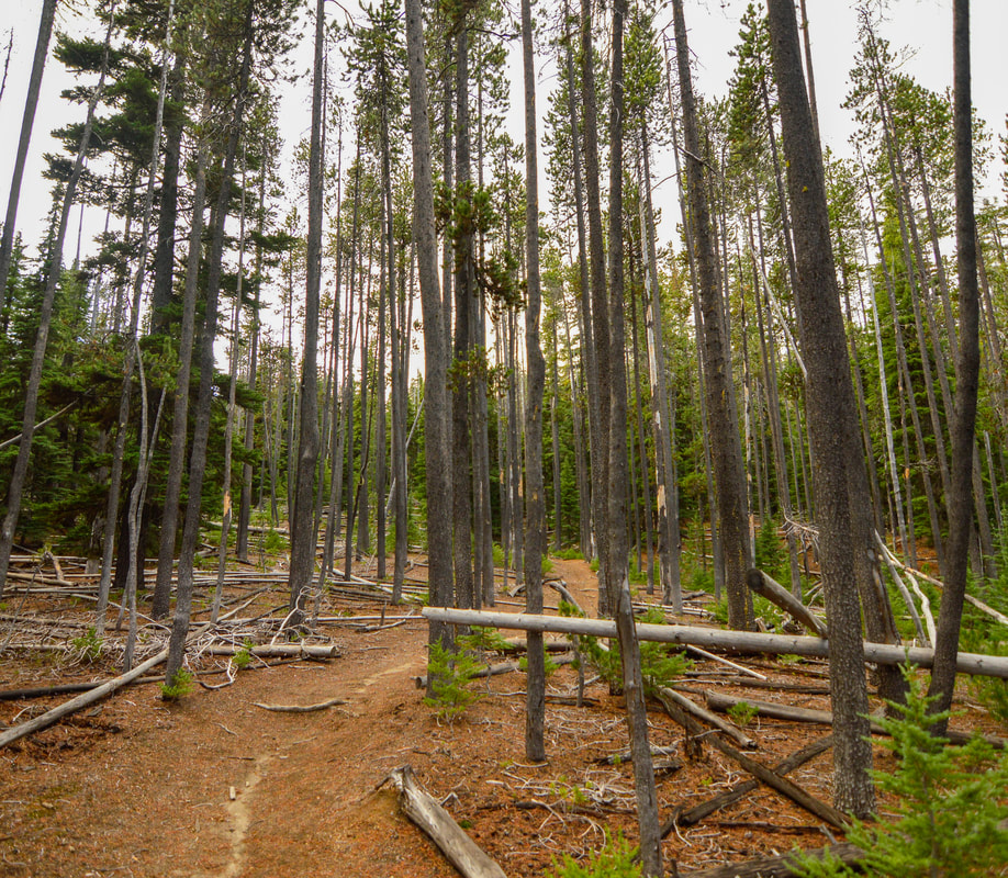
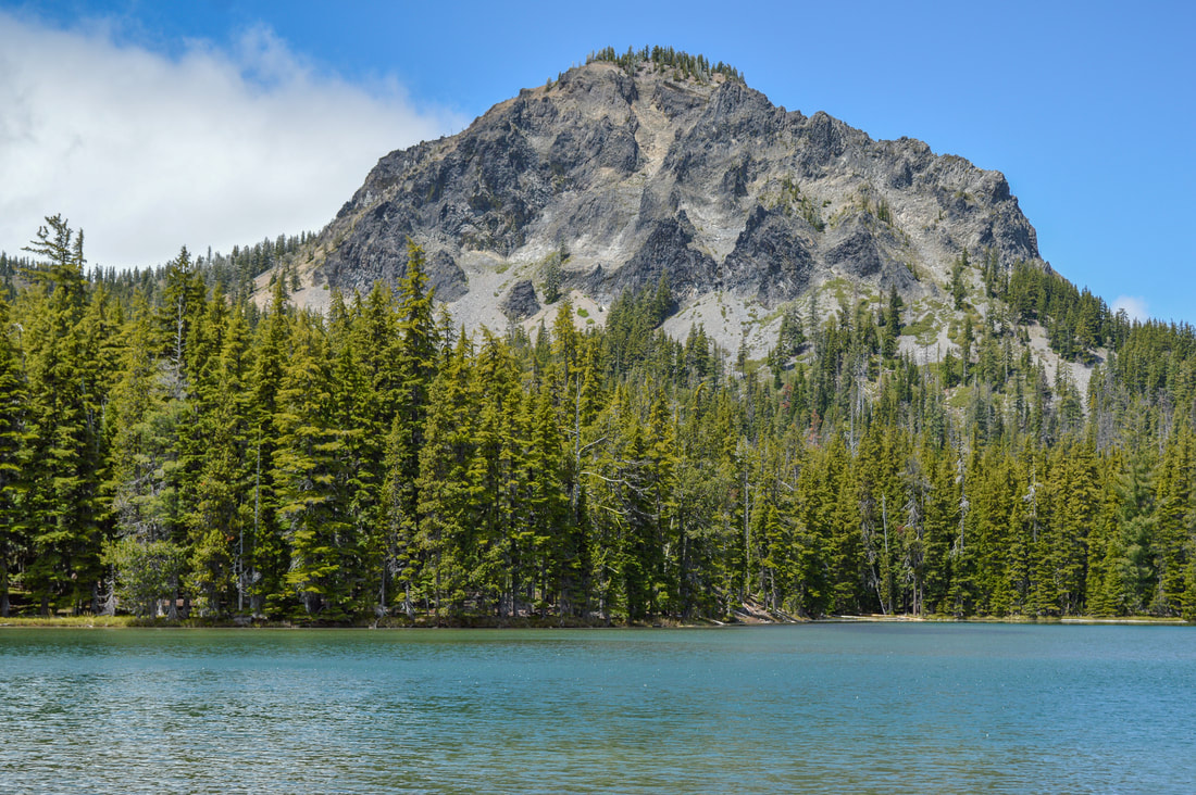
Shortly after the trail junction you will cross seasonal Cold Creek and then continue through a forest of sparse lodgepole pines. In the next 2.5 miles the trail gains 700 feet of elevation and then you will arrive at Fawn Lake. Across Fawn Lake you will see two hills. The one on the left is Redtop Mountain and the craggy peak on the right Lakeview Mountain, which you get a better view of from Stag Lake. Fawn Lake is fairly large, and there is backcountry camping nearby.
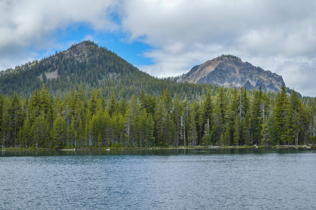
(Fawn Lake and Redtop Mountain & Lakeview Mountain)
If you want to do the shorter hike, go back the way you came after enjoying a snack break at the shores of Fawn Lake. If you want to continue on to Stag Lake you will take the Stag Lake Trail #3844.2 around the north side of Fawn Lake for another 0.9 miles. The trail takes you above the lake so you will get some beautiful views through this area.
|
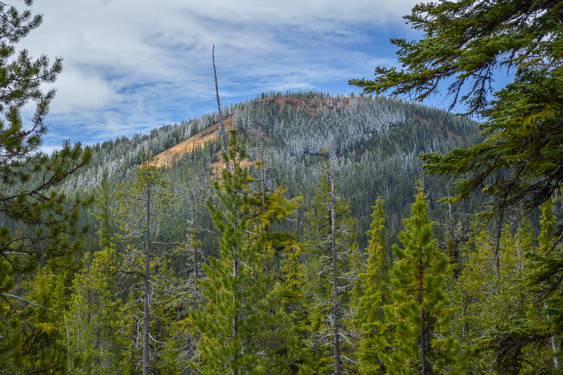
(Redtop Mountain)
|
|
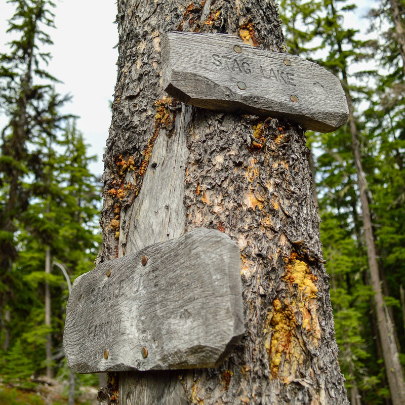
After 0.9 miles you will arrive at a trail junction with a very small sign on a tree. Keep an eye out for this because it's very easy to miss. Turn right and continue on for another half mile to the shores of Stag Lake. There is a large area to camp near the lake and you will have incredible views across the lake at Lakeview Mountain. Stag Lake has wonderful sandy beaches, and on a nice sunny day the lake is a beautiful turquoise color! After eating lunch at Stag Lake and watching the colors change on Lakeview Mountain, you can head back to Fawn Lake.
|
(Stag Lake and Lakeview Mountain)
At the Fawn Lake junction, take a right onto the Pretty Lake Trail #3848 that takes you around the south side of Fawn Lake and back into dense woods for 1.5 miles until you come to Pretty Lake. Pretty Lake really isn't very pretty, and during dry summers there will be hardly any water in this 'lake'.
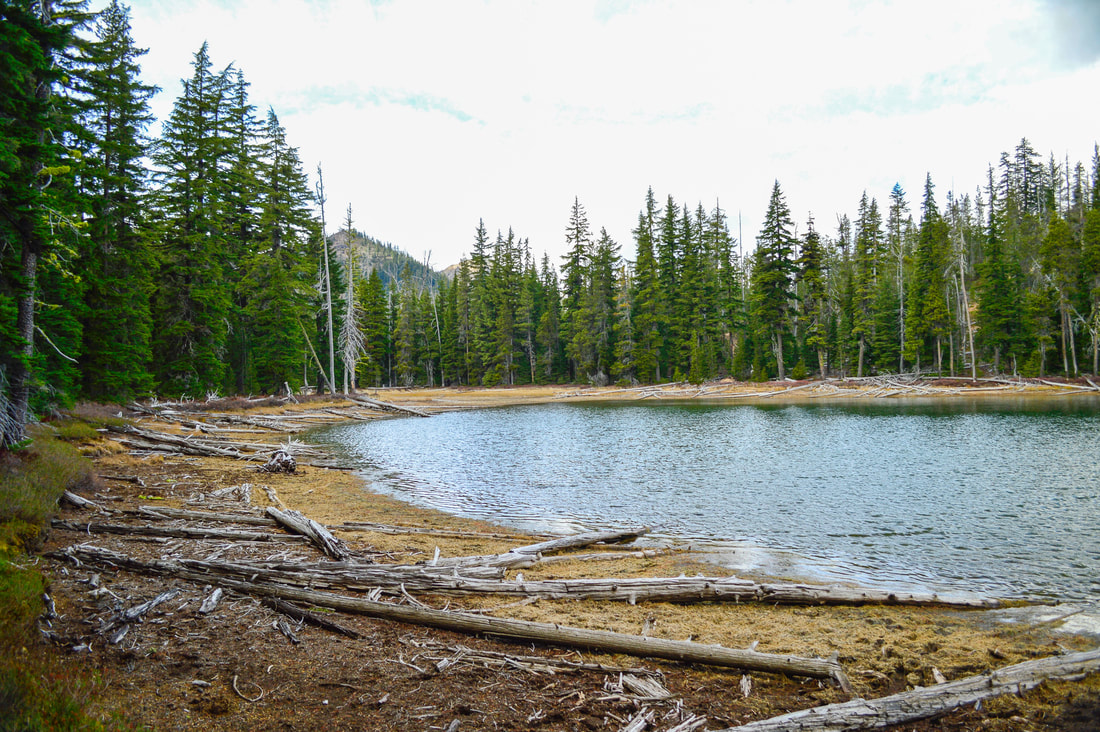
(Pretty Lake in late October)
|
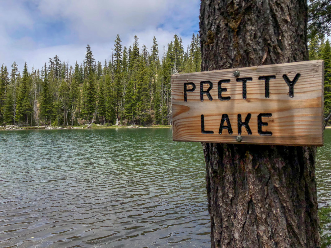
(Pretty Lake in mid-June)
|
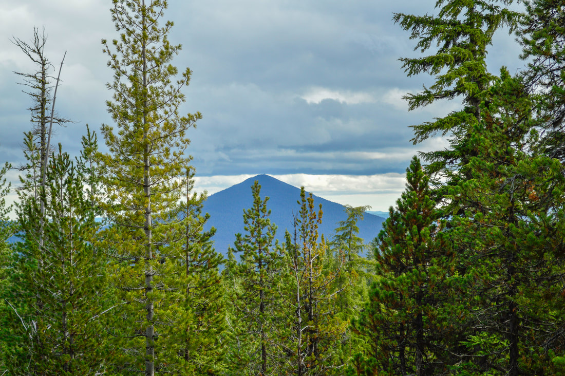
(Odell Butte)
|
After Pretty Lake, the trail heads downhill for another 1.75 miles back to the original junction, and then the 0.8 miles back to the parking lot. On the way down, you can see views of Odell Butte once the trees become more sparse again.
Fawn Lake and Stag Lake are beautiful lakes to visit in the Diamond Peak Wilderness. This is a trail that everyone should check out, whether you're wanting to backpack or just do a day hike. This is the perfect hike for fall weather in Oregon because the woods, the lakes and surrounding hills still look great in grey overcast, gloomy lighting, and the cooler weather and lack of bugs will make the experience much more pleasant. This hike is absolutely recommended to everyone! The trail tread is easy, the trail is well maintained and there is very little elevation gain, especially if you're only going to Fawn Lake. |
Directions:
From Oakridge
- Drive on OR-58 E for a total of 33.9 miles, then turn right onto OR-429 for 2.2 miles, then turn right onto Crescent Lake Rd./NF-60 for 0.4 miles. Turn left at sign for Crescent Lake Campground for 0.2 miles, then turn right into a large circular parking area where you will see the Fawn Lake Trail sign and a sign for Day Use. (Total of 37.2 miles)
- Drive on US-97 S for a total of 47 miles to Crescent Rd. and turn right. After 12 miles turn right onto OR-58 for _ miles. Turn left onto OR-429 for 2.2 miles, then turn right onto Crescent Lake Rd./NF-60 for 0.4 miles. Turn left at sign for Crescent Lake Campground for 0.2 miles, then turn right into a large circular parking area where you will see the Fawn Lake Trail sign and a sign for Day Use. (Total of 65.8 miles)
- Drive OR-62 E towards Crater Lake for 49.5 miles then take a slight left onto OR-230 N for 23.8 miles. Near Diamond Lake turn right onto OR-138 east for 17.7 miles until it T’s into highway 97. Turn left onto US-97 N for 17.8 miles then use the left lane to take the OR-58 W exit toward Eugene. Continue on OR-58 for 16.6 miles, then turn left onto OR-429 for 2.2 miles, then turn right onto Crescent Lake Rd./NF-60 for 0.4 miles. Turn left at sign for Crescent Lake Campground for 0.2 miles, then turn right into a large circular parking area where you will see the Fawn Lake Trail sign and a sign for Day Use. (Total of 136 miles)
- Total of 80 miles via Oakridge.
- Total of 141 miles via Oakridge.
- Total of 185 miles via Oakridge.
*All pictures are taken by Franziska Weinheimer
*Disclaimer: The trail descriptions, mileage, GPS tracks and difficulty ratings depicted on this website are never 100% accurate. Always hike at your own risk, using your own knowledge, equipment and common sense. Franziska Weinheimer/Hike Oregon are not responsible if you or anyone in your party gets injured or lost while attempting one of these or any other hikes.