Crescent Mountain
Hike details:
Mileage: 9.3 miles round trip w/ 2,350 ft. elevation gain
Approximate hike time: 4 hours w/ an average pace of 2.3 mph
Difficulty: Difficult
Trail usage: Low to medium
High point: 5,700 ft. Low point: 3,580 ft.
General location: 45 miles east of Sweet Home - Willamette National Forest
Accessible: Early June through early December
(Best time to go is late June and early July for wildflowers. But there are also a lot of mosquitoes during that time. If you want to avoid the bugs and are just going for the views, September is the perfect time).
Permits required: N/A
Pit toilet at trailhead: No
Trail allows: Dogs, horses
Possible dangers: N/A
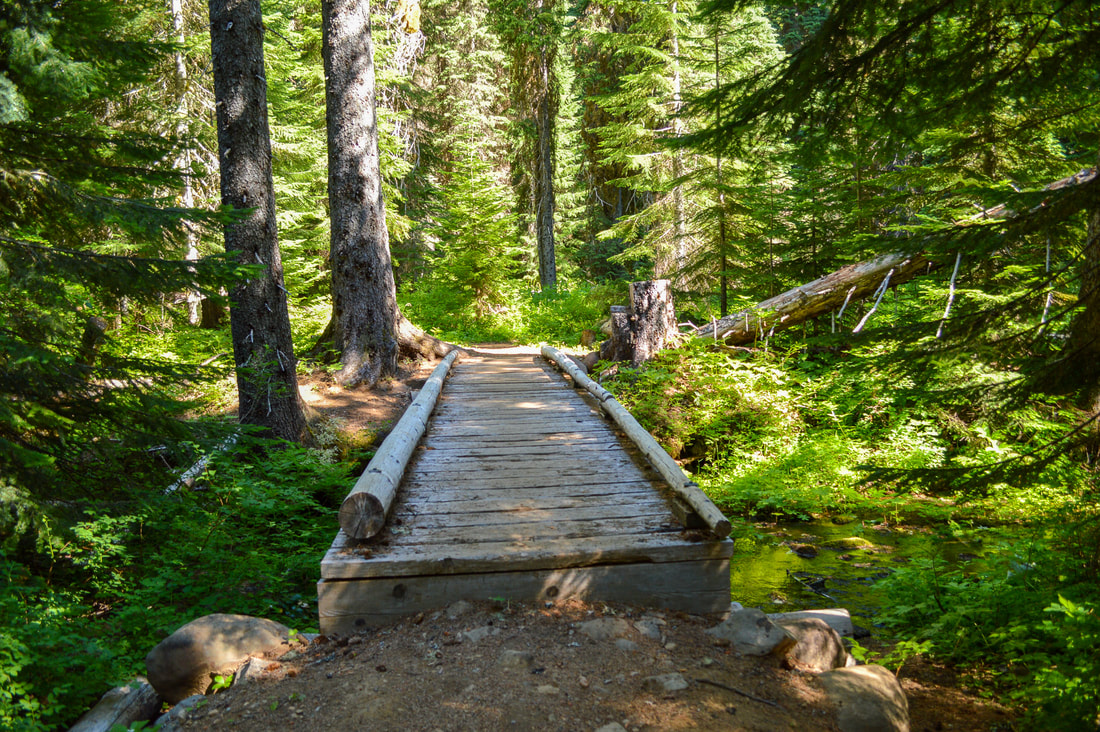
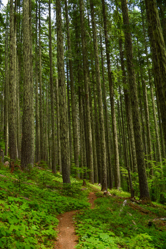
Description:Crescent Mountain Trail is a beautiful hike along the Old Cascade Crest featuring mountain vista views and wildflowers in the summertime. The first 1.28 miles of the hike are almost entirely flat as the trail meanders through a beautiful dense forest. Once you cross Maude Creek the easy part of the hike is over and the trail starts gaining some elevation. If you have very small children and are looking for an easy excursion, this is an excellent stopping point. There is a nice meadow on the far shore of the creek that would make a lovely picnic area for young kids.
|
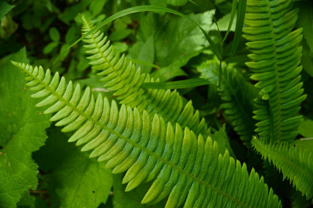
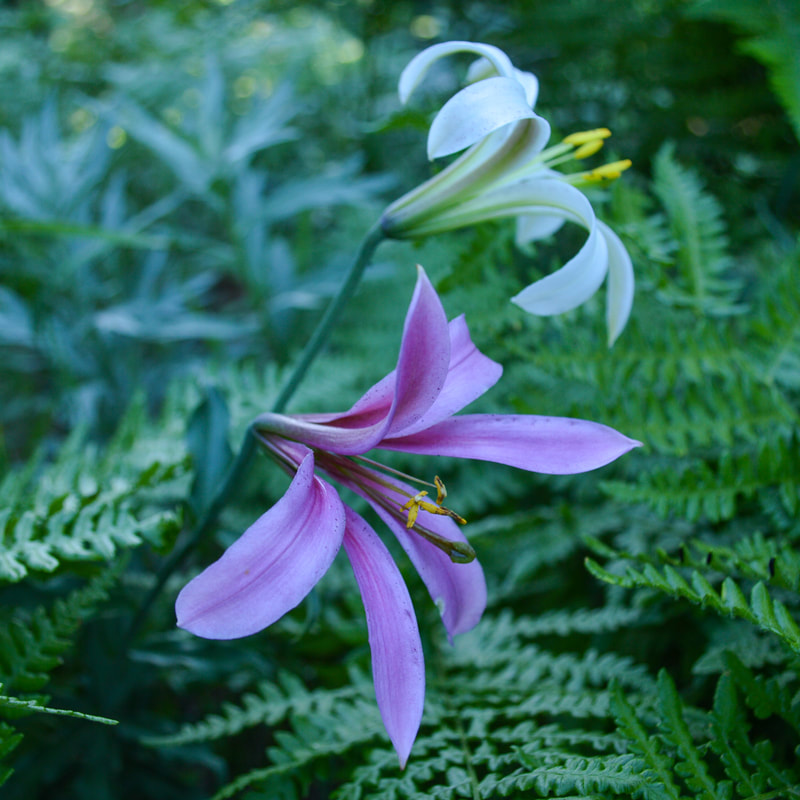
Over the next 2 miles the trail continues meandering through the forest with 6 long switchbacks, gaining a total of 1,380 feet of elevation. During the summer months the forest is where you will encounter the bulk of the mosquitoes so come prepared with permethrin treated clothing and bug spray! Along the way you will see many different types of ferns as well as some wildflowers like the beautiful pink and white colored Washington Lily.
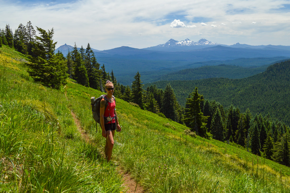
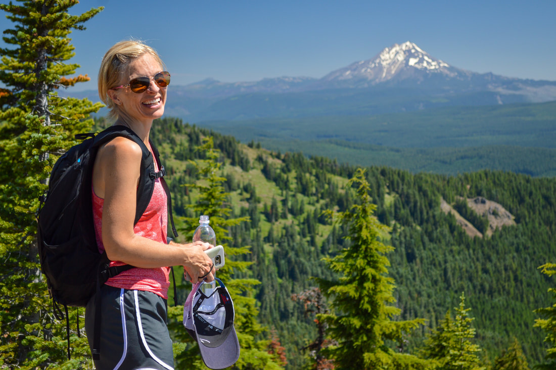
After a total of 3.4 miles the trail leaves the woods and you will start hiking along south facing alpine meadows. During some years in July there will be blooming bear grass here, however it only flowers once every 5-7 years so sometimes there are no blooms at all (like in the picture above). The open meadows allow you to get your first views of Mount Washington and the Three Sisters. After another 1.1 miles you will come to a trail split. The trail to the left is the continuation of the Crescent Mountain Trail (also a part of the Old Cascades Crest Trail). You can take this trail another 3.7 miles all the way to the North Trailhead. To get to the summit of Crescent Mountain, take the trail to the right for 0.1 miles to the site of an old fire lookout.
|
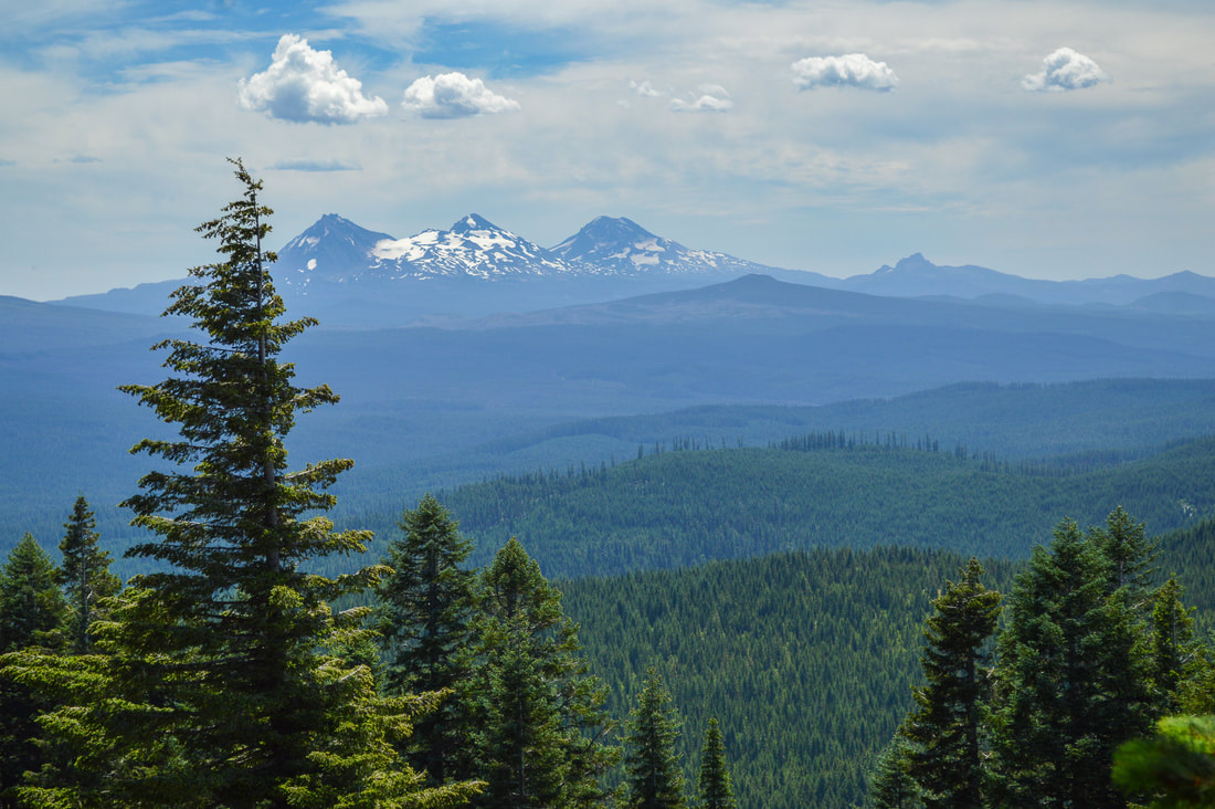
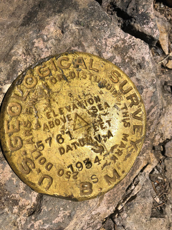
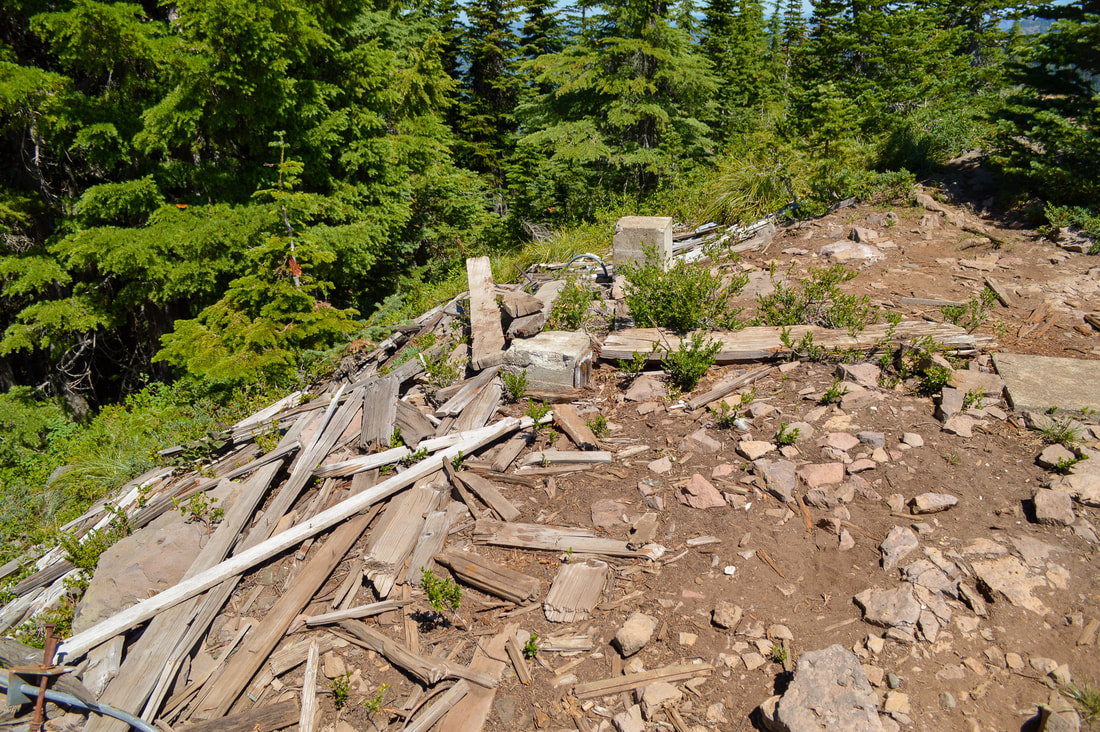
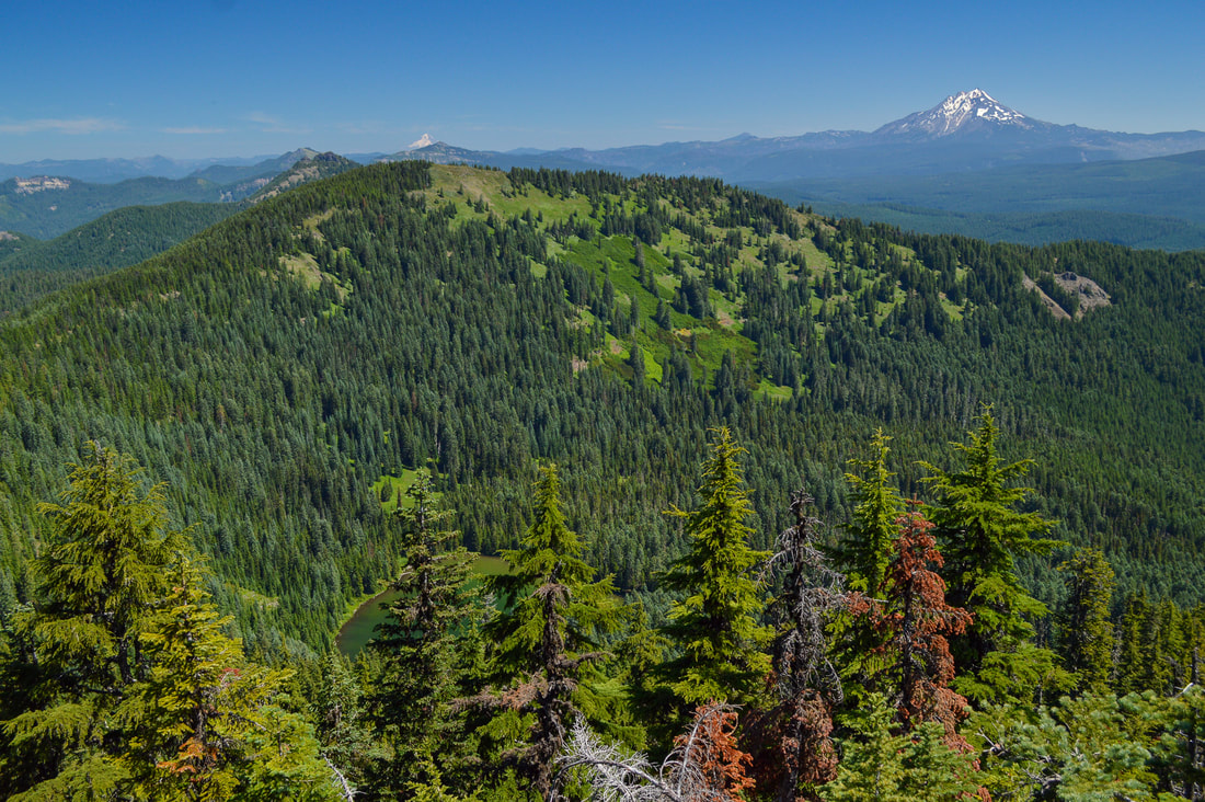
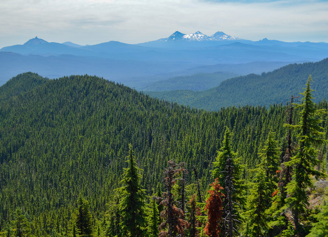
At the summit you can see remnants of the old fire lookout that once stood there and you will also see why Crescent Mountain got its name. The crescent shape of it is very apparent and there are actually two summit points (this one is the taller of the two). From the summit you can see from the Three Sisters all the way north to Mt. Hood!
|
Crescent Mountain is a beautiful, lesser known hike that doesn't get a lot of hype. In the summer it offers wildflowers, beautiful and unique views of the Cascade Mountains and it is not as crowded as nearby Iron Mountain or Coffin Mountain. This hike is rated difficult only because of the mileage. The trail itself is very well maintained and it is not rocky nor are there exposed areas or any sections where the trail is off camber. This hike is perfect for an early summer excursion to view wildflowers and get in those mountain views, just remember to take bug spray for the woods and sun protection for the open meadows.
Directions:
From Bend
- Drive US-97 north for 2.1 miles then take exit 135A to merge onto US-20 W toward Sisters Salem for 19.9 miles. In Sisters at the roundabout, take the 2nd exit and stay on US-20 Wand continue on for 25.1 miles. At a Y split keep left to stay on US-20 W for another 3.9 miles then turn right onto NF-2067 (Lava Lake Rd.) for 1 mile. At a Y split continue left onto NF-508 for 0.7 miles to a large parking area. (Total of 53.8 miles)
- Drive east on OR-126 for 75 miles, then make a sharp left onto US-20 W for 0.7 miles. Near milepost 71 turn right onto NF-2067 (Lava Lake Rd.) for 1 mile. At a Y split continue left onto NF-508 for 0.7 miles to a large parking area. (Total of 79.3 miles)
- Drive OR-22 east towards Bend for a total of 80 miles, then turn right toward US-20 W and immediately turn right onto US-20 W for 3.7 miles. Turn right onto NF-2067 (Lava Lake Rd.) for 1 mile. At a Y split continue left onto NF-508 for 0.7 miles to a large parking area. (Total of 89 miles)
- Total of 132 miles via Salem.
- Total of 243 miles via Eugene.
-This trail write-up was last updated July 2018-
*All pictures are taken by Franziska Weinheimer
*All pictures are taken by Franziska Weinheimer
*Disclaimer: The trail descriptions, mileage, GPS tracks and difficulty ratings depicted on this website are never 100% accurate. Always hike at your own risk, using your own knowledge, equipment and common sense. Franziska Weinheimer/Hike Oregon are not responsible if you or anyone in your party gets injured or lost while attempting one of these or any other hikes.

