Sno-Parks In Central Oregon
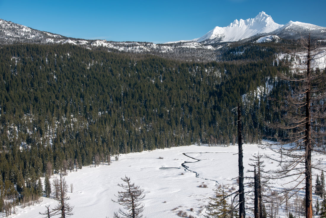
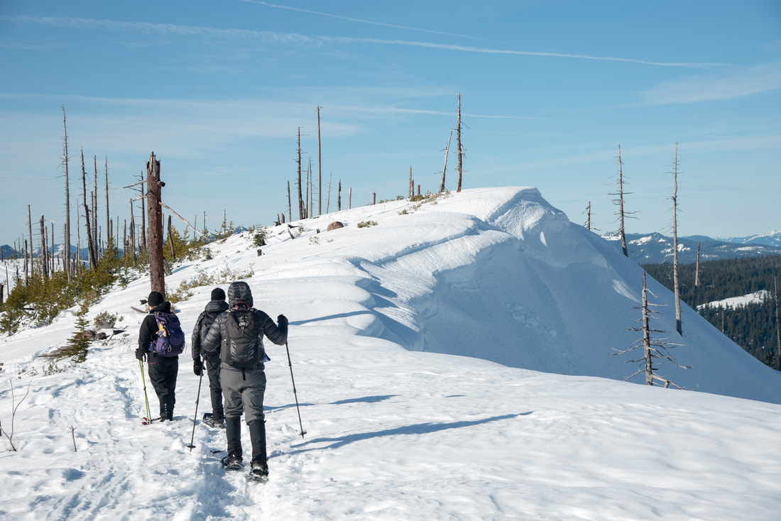
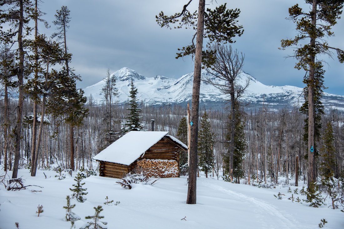
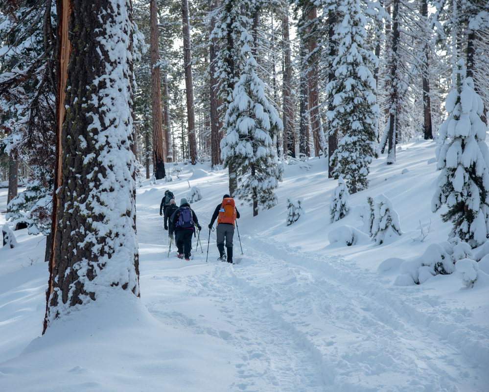
There are many sno-parks in the Central Oregon Cascades, from mossy forested gems to open hills with mountain views, there are trails for every experience level. Whether you are cross country skiing, snowshoeing, taking your snowmobile out, or you are wanting to try your hand at winter camping at one of the shelters, one of the many sno-parks in the Central Oregon Cascades will have something for you.
Gold Lake sno-park
Closest town: Oakridge
Terrain difficulty: Easy
Trail usage: Light on week days, medium to heavy on weekends
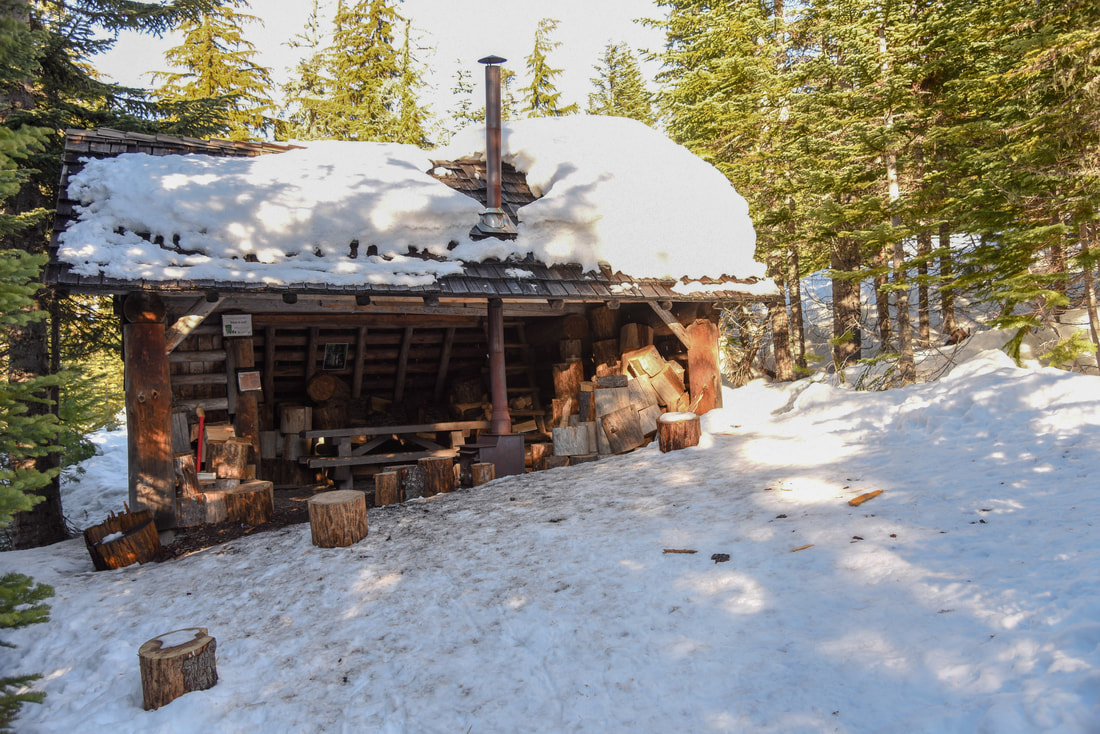
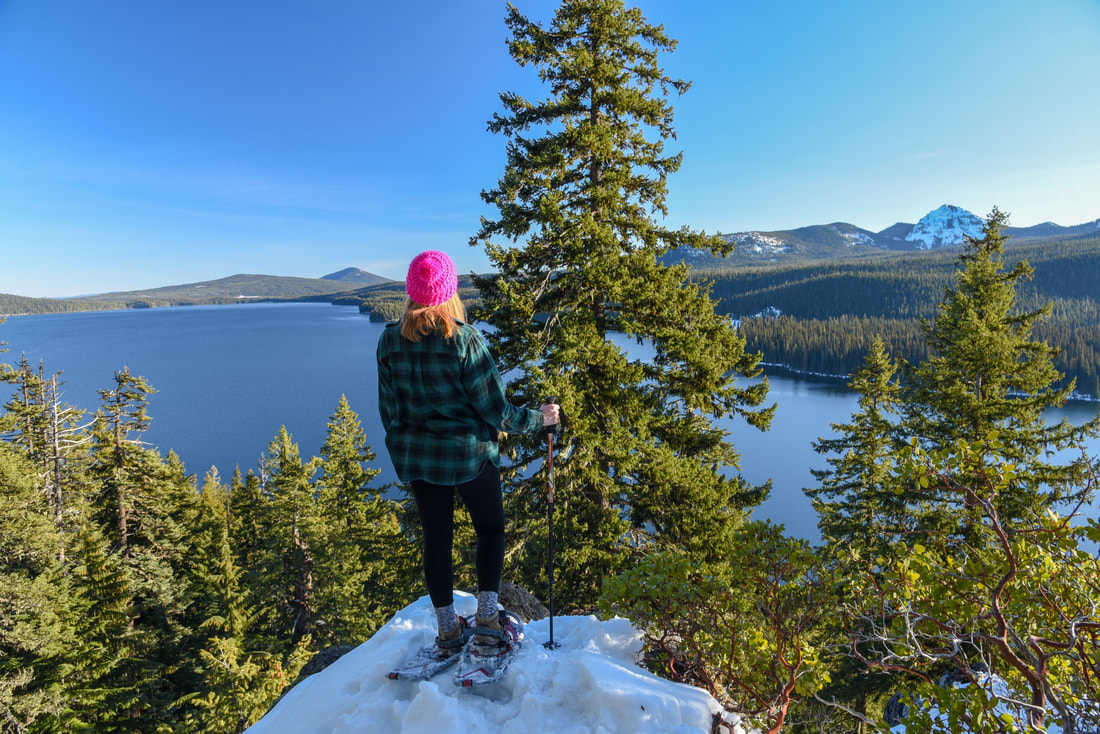
About the sno-park: Gold Lake Sno-Park is only 27 miles east of Oakridge and offers many easy to moderate nordic trails near Odell Lake. There are also moderate to difficult loop trails across the highway that lead up to the Gold Lake area as well a snow route along the Pacific Crest Trail that leads up to a ski shelter. There are a total of 3 shelters and 1 warming hut.
(Click here for more information and directions)
Maxwell sno-park
Closest town: Detroit and Sisters
Terrain difficulty: Moderate
Trail usage: Light on week days, medium on weekends
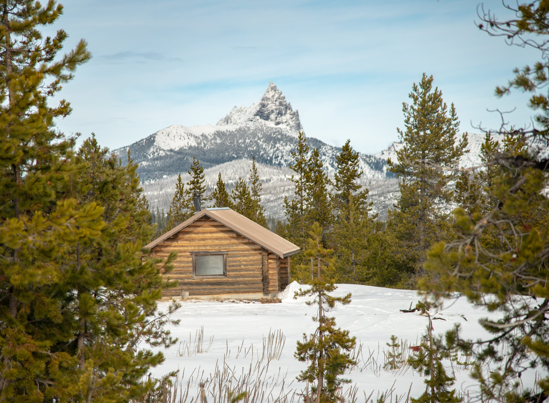
About the sno-park: Maxwell Sno-Park is only 28.7 miles west of Sisters and 29 miles south of Detroit and offers easy, moderate and difficult trails through old growth forest. Many of the trails loop around and lead to either one of the two shelters. On a clear day, you will catch glimpses of mountain views. Maxwell Sno-Park has one of the best and most accessible large shelters that you can spend the night in. Mountain View Shelter holds up to 15 people.
(Click here for more information and directions)
Potato Hill sno-park
Closest town: McKenzie Bridge and Sisters
Terrain difficulty: Moderate to difficult
Trail usage: Light on week days, medium on weekends
About the sno-park: Potato Hill Sno-Park is only 24 miles west of Sisters and is one of the most underrated sno-parks in the area. There are not a lot of different trail options, but the trails that are there are absolutely spectacular. The summit of Potato Hill offers 360 degree views of the Cascade mountains, and the loop trail offers solace through a quiet mossy forest. This sno-park does not have any shelters.
(Click here for more information and directions)
Three Creek sno-park
Closest town: Sisters
Terrain difficulty: Easy
Trail usage: Light to moderate on week days, heavy on weekends
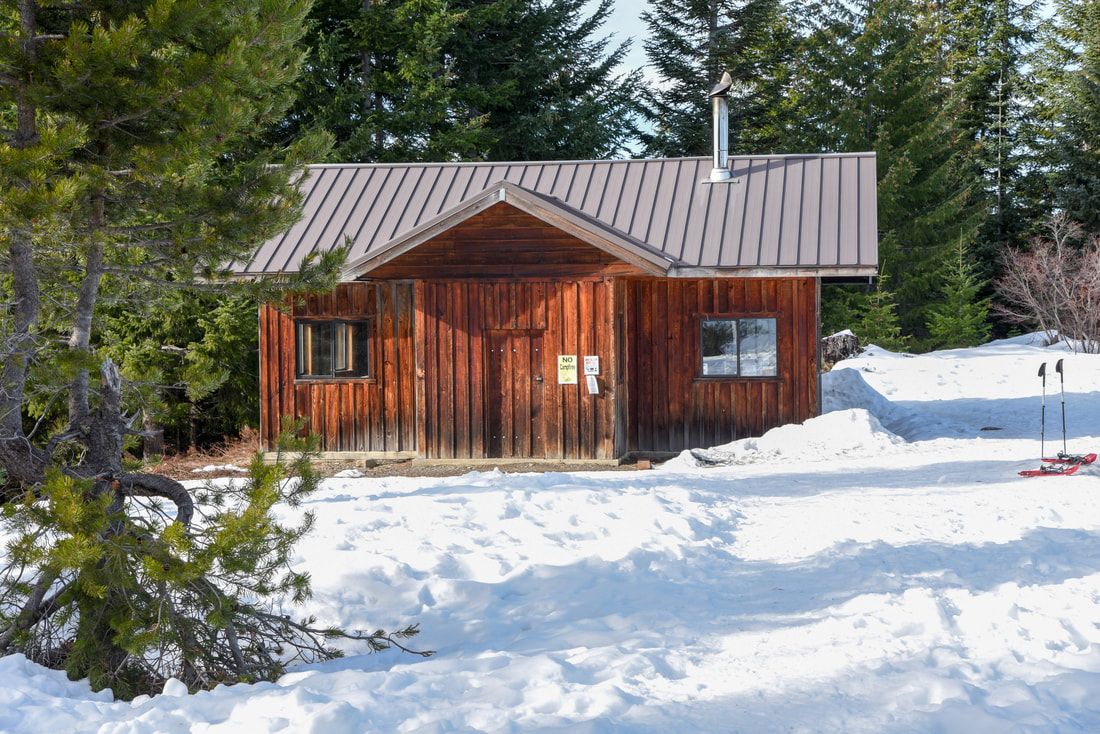
About the sno-park: Upper Three Creek Sno-Park is only 10 miles south of Sisters and offers some easy and moderate nordic trails as well as snowmobile trails. These trails wind through Ponderosa pines as well as some old burn areas and there are spectacular views of the Three Sisters, Broken Top, Mt. Washington and Mt. Jefferson. This sno-park only has one shelter and no warming hut, but it is so close to Sisters, you can quickly head back into town and enjoy a burger and brew next to a fire at the local Three Creeks Brewing Company.
(Click here for more information and directions)
Ray Benson sno-park
Closest town: Sisters
Terrain difficulty: Easy to moderate
Trail usage: Light on week days, medium on weekends
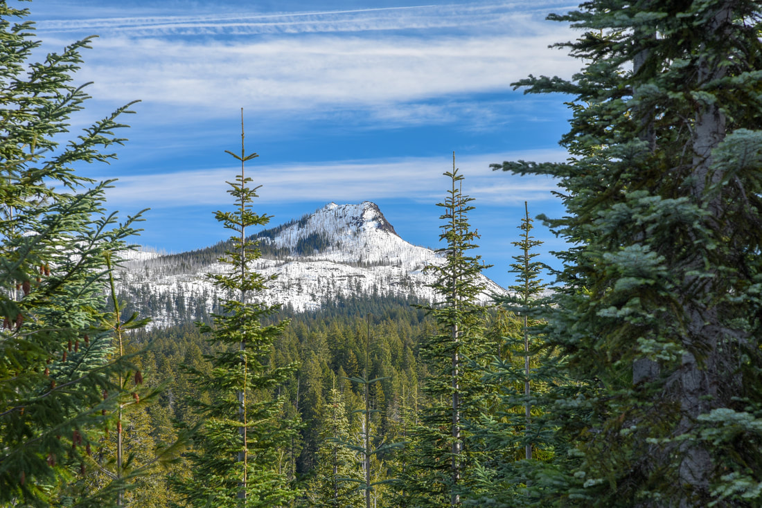
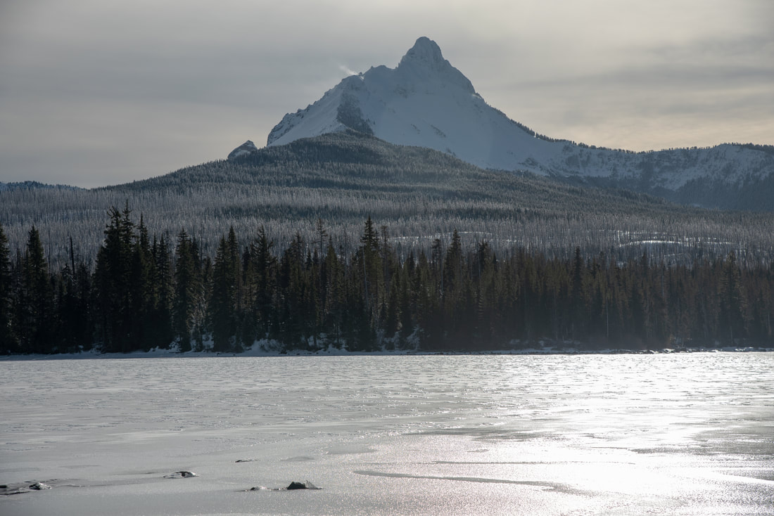
About the sno-park: Ray Benson Sno-Park is a large nordic recreation area at Santiam Pass and Hoodoo Ski Area. This sno-park offers many easy to moderate loop trails, most of which have incredible views of Mt. Washington and Three Fingered Jack and one trail that has access to Big Lake. Ray Benson has a total of 3 shelters as well as 1 warming hut.
(Click here for more information and directions)
*All pictures unless otherwise marked are taken by Franziska Weinheimer
*Disclaimer: The trail descriptions, mileage, GPS tracks and difficulty ratings depicted on this website are never 100% accurate. Always hike at your own risk, using your own knowledge, equipment and common sense. Franziska Weinheimer/Hike Oregon are not responsible if you or anyone in your party gets injured or lost while attempting one of these or any other hikes.

