Canyon Creek Meadows
Hike details:
Mileage: 8 mile loop with some out and back viewpoints w/ 1,600 ft. elevation gain
9.1 mile loop with out and back excursions w/ 1,650 ft. elevation gain
Approximate hike time: 3 hours 15 minutes w/ an average pace of 2.3 mph for the shorter loop
3 hours 57 minutes w/ an average pace of 2.3 mph for the longer hike.
Difficulty: Moderate to difficult
Trail usage: High on summer weekends, medium on summer weekdays, medium on fall weekends, low on fall weekdays.
Highest elevation: 6,490 ft. Lowest elevation: 5,100 ft.
General location: 29 miles northwest of Sisters - Deschutes National Forest - Mount Jefferson Wilderness
Accessible: Late June through mid-November
(Best time to go is mid-July for prime wildflower viewing, however this is also the time when the mosquitoes are the worst. August to mid-October is perfect for hiking in this area).
Permits required: Day trips & overnight - Central Cascades Wilderness Permit June 15 - October 15 available via recreation.gov
Northwest Forest Pass for parking
Pit toilet at trailhead: Yes
Trail allows: Dogs on leash, horses on the lower parts of the loop, camping
Possible dangers: Be careful when scrambling up to the upper ridge above the lake. The rocks are loose and the slopes are very steep.
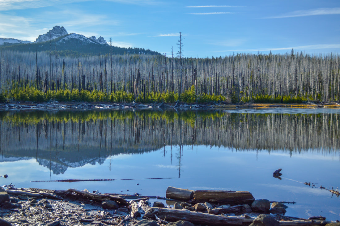
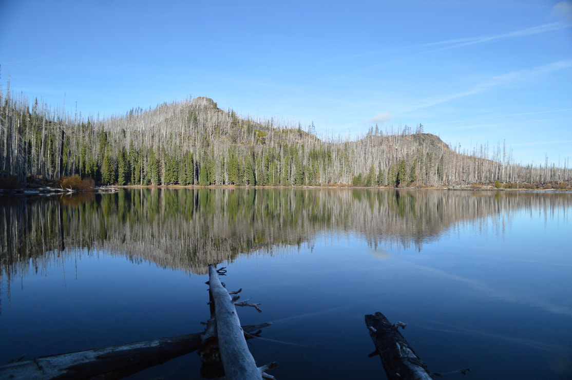
(Jack Lake is the first spectacular thing you see on this hike)
Description:
Canyon Creek Meadows is a popular summer and fall hike near Bend and Sisters. It is a moderate loop hike with beautiful views of Three Finger Jack, wildflowers as well as some lakes along the way. This is also one of the inlets for the popular backpacking loop around Three Fingered Jack.
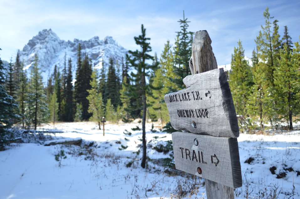
The road up to Jack Lake and the trailhead can be quite miserable due to stutter bumps that develop from all the traffic. But because this trail is so popular, the road does get maintained every other year. After the road has become wet enough from rain-fall in the fall season, they grade it and make it nice and easy to drive on again. Park at Jack Lake where there are a few primitive camping spots, and a pit toilet, and you will take Trail #4014 from the north side of the parking lot.
The road up to Jack Lake and the trailhead can be quite miserable due to stutter bumps that develop from all the traffic. But because this trail is so popular, the road does get maintained every other year. After the road has become wet enough from rain-fall in the fall season, they grade it and make it nice and easy to drive on again. Park at Jack Lake where there are a few primitive camping spots, and a pit toilet, and you will take Trail #4014 from the north side of the parking lot.
|
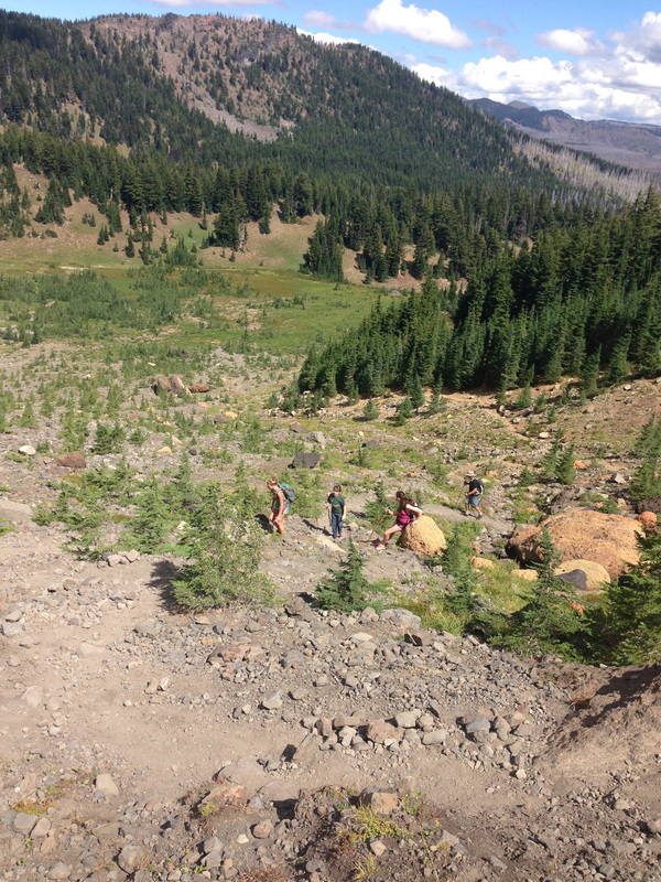
The beginning of the trail takes you from the parking lot to Jack Lake. You gently climb around the lake and after 0.4 of a mile you will come to your first trail junction. Because this trail is so popular, especially in the summer months, it is encouraged to take the loop clockwise, so that you are not running into a lot of people and would frequently have to stop to let someone by.
|
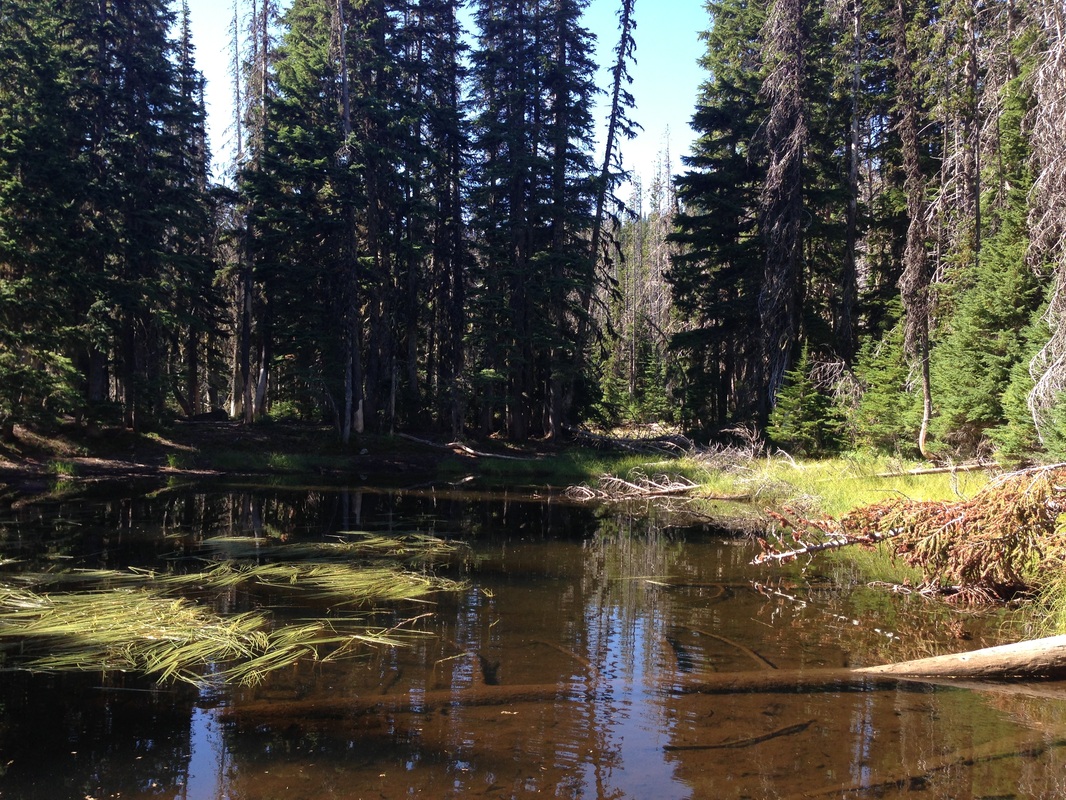
(the two ponds you pass on the way to Lower Meadow)
|
|
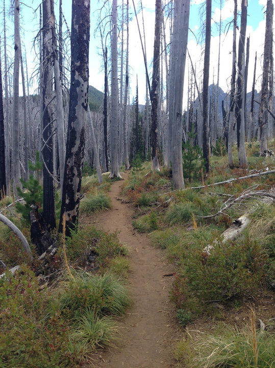
After turning left at the junction onto Trail #4010, the next part of the hike takes you uphill a bit through a mixed lodgepole pine forest. Some of the trees were burned in the 2003 B&B Complex fire. You will hike through the forest for about 1.7 miles while passing two small lakes (one at most times of the year is dried up and looks more like a meadow), then you reach the Lower Meadow where the trail forks once again.
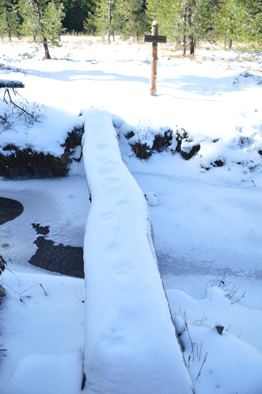
(cougar tracks at Lower Meadow)
|
(Cirque Lake in November)
|
|
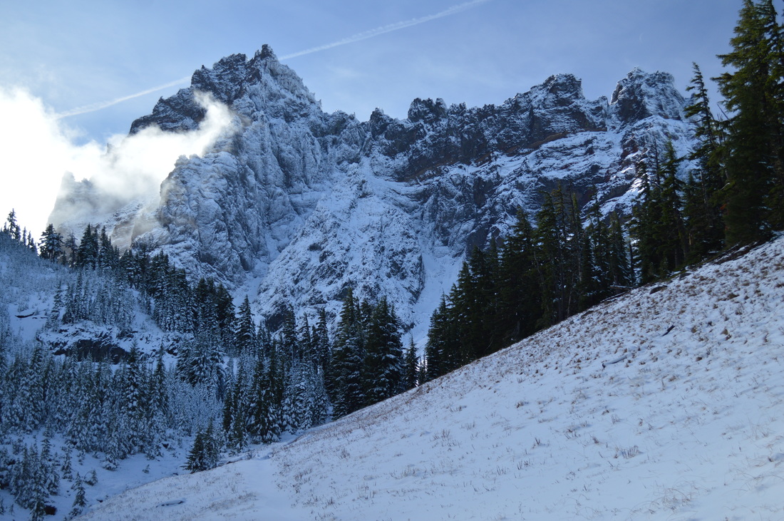
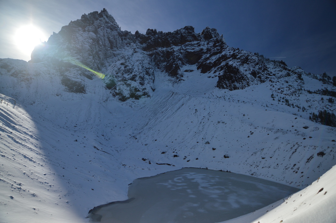
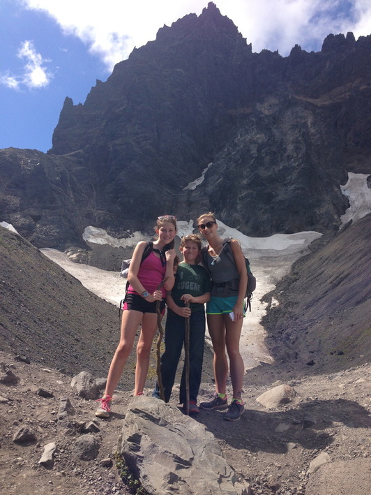
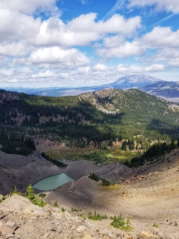
This portion of the hike is a 3 mile out and back to Cirque Lake and the Viewpoint Saddle. You will take the path to the left and cross a small creek. In the winter there were some medium sized cougar tracks along this area (Lower Meadow). From the Lower Meadow to the Upper Meadow it is only a mile, but the climb does get pretty steep. There are quite a few switchbacks, but the view from Cirque Lake is stunning and worth the effort!
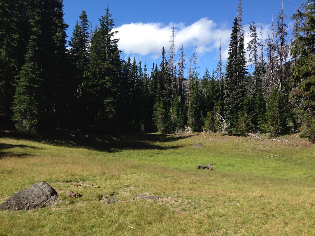
Viewpoint Saddle is another half mile from Cirque Lake, and from there you can see the Three Sisters to the south, and Mount Jefferson to the north. There are some great primitive campsites in the trees near Upper Meadow. Please remember to not camp in the meadow though. Alpine meadows are extremely fragile. |
|
(Cirque Lake in September)
|
(saddle viewpoint looking north towards Mount Jefferson - picture by Ellen Drury)
|
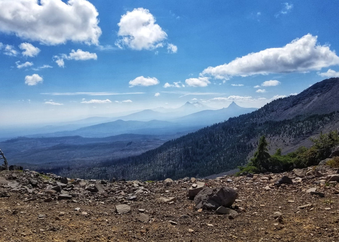
(saddle viewpoint looking south towards Mount Washington & Three Sisters - picture by Ellen Drury)
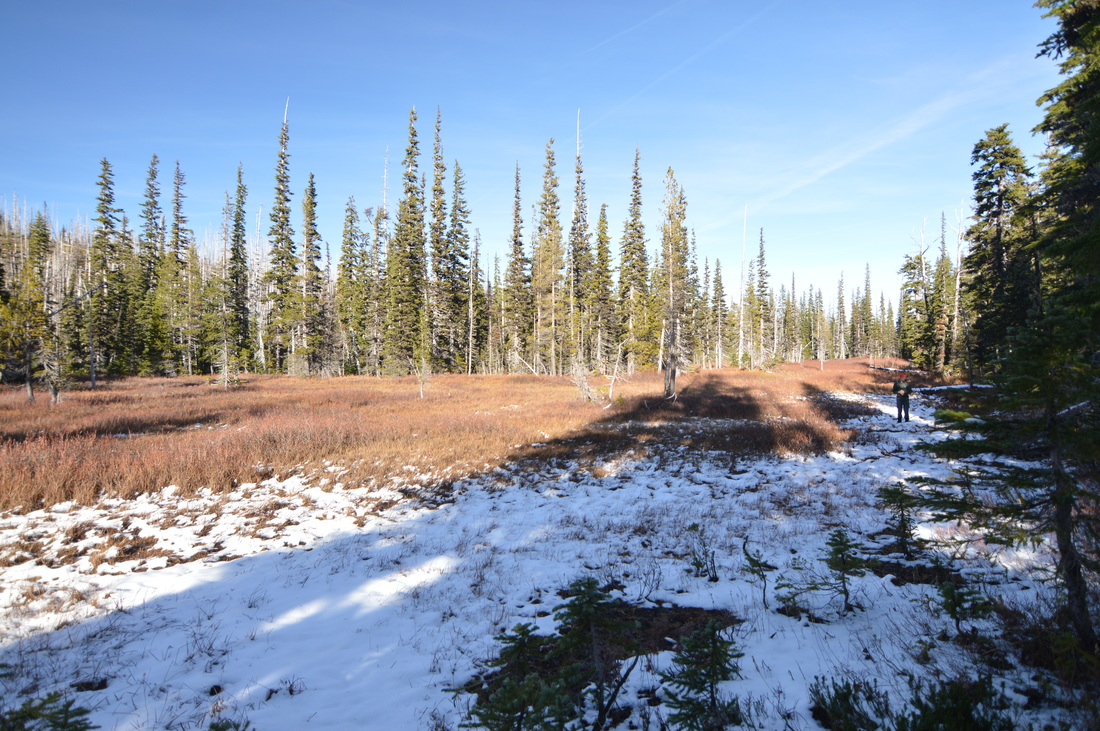
After the out and back trek, you will rejoin the loop trail and travel 0.9 miles through some more burned forest along Canyon Creek. A long time ago this was a place where beavers made their dams, therefore we now have large swampy meadows here, and there is still some evidence of the beavers on the old trees.
|
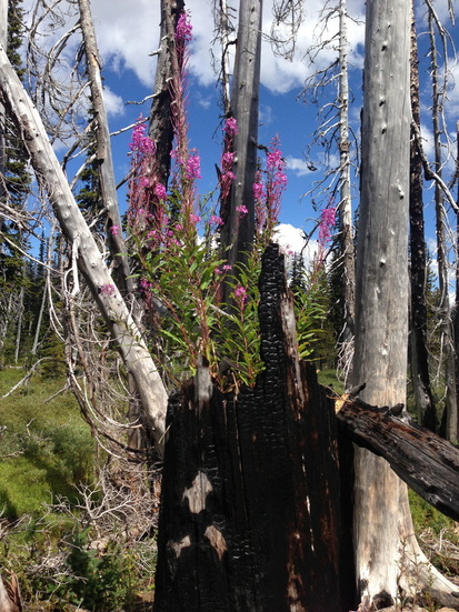
(fireweed flowering in July)
|
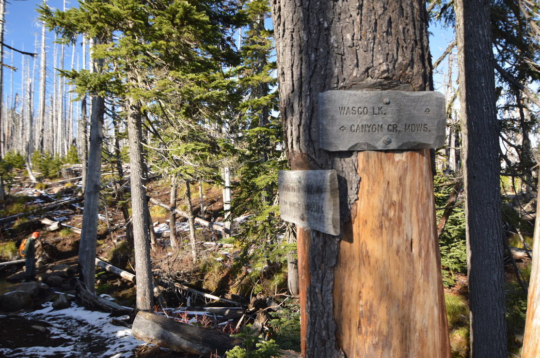
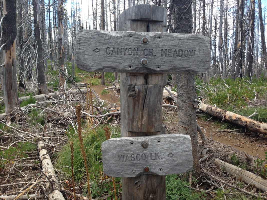
After the beaver meadows you will come to another junction. Most day hikers choose to only do the Canyon Creek Meadows loop, at which point you would continue to the right here, however if you are backpacking and want to go somewhere a bit more secluded, take a left at the intersection by the falls, cross the stream, and hike another 0.7 miles over to beautiful Wasco Lake on Trail #4014.
The trail to Wasco Lake is definitely not as maintained as the Canyon Creek Meadows trail, and you might have to climb over some blowdowns. There is plenty of camping on the northwest side of Wasco Lake. Here you might even see some Pacific Crest Trail thru hikers, as this lake is only half a mile from the PCT, and a perfect resting spot for weary hikers. If you go to Wasco Lake and Viewpoint Saddle, it makes the whole hike 9.1 miles instead of 7.5.
(Wasco Lake)
|
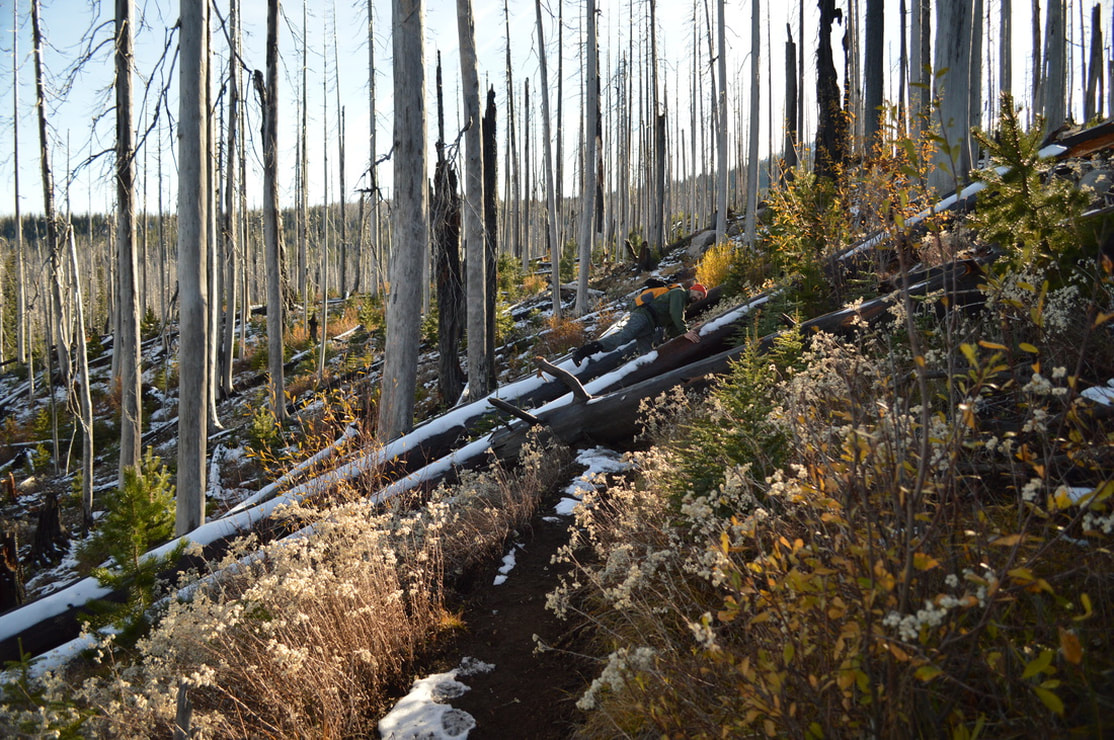
Once you get back on the loop trail from the out and back Wasco Lake excursion, you will hike another 1.6 miles back to the car. About half of this mileage is open (due to the burn), and you can catch glimpses of beautiful Mt. Jefferson peeking out over the ridge in the distance.
Canyon Creek Meadows is one of the most popular hikes in the area, and for good reason. It is definitely do-able for most age and fitness ranges and most of the trail is an easy walk through the forest. The section heading up to Cirque Lake is a bit more rocky and steep, so it's only recommended to folks without bad knees or ankles. For peak wildflower viewing, do this hike in mid-July. If you want to avoid the crowds, head here in the fall (late September/early October) for some picturesque solitude. |
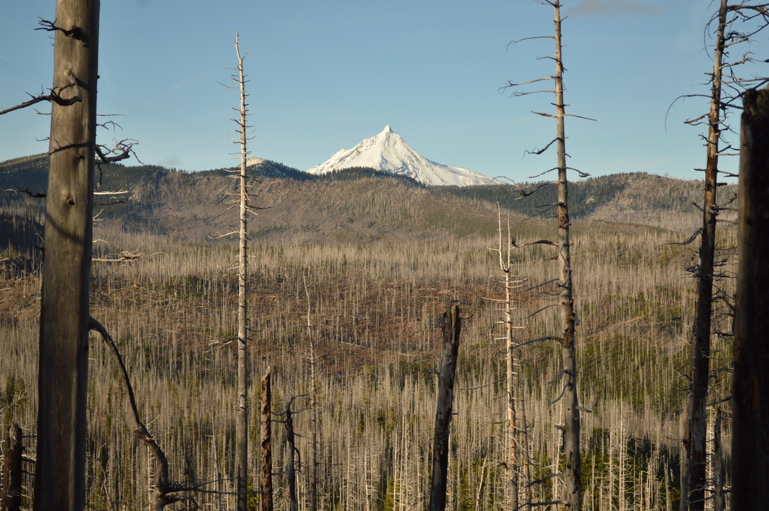
(Mount Jefferson)
Directions:
From Sisters
- Drive US-20 W for a total of 13.5 miles, then you will see a sign for "Wilderness Trail heads" near milepost 88. Turn right onto paved Road 12 for 3.7 miles, then fork left onto gravel Road 1230 for 1.5 miles, and then at a 4-way intersection continue straight onto Road 1234 climbing 5 steep miles to the Jack Lake Trailhead. (Total of 23.7 miles)
- Drive OR-126 E towards Bend for a total of 68.2 miles, then merge right onto US-20 E for 15.5 miles. 8 miles east of Santiam Pass, turn left at a sign for "Wilderness trailheads" near milepost 88 onto paved Road 12 for 3.7 miles, then fork left onto gravel Road 1230 for 1.5 miles, and then at a 4-way intersection continue straight onto Road 1234 climbing 5 steep miles to the Jack Lake Trailhead. (Total of 103 miles)
- Drive on OR-22 E towards Detroit for a total of 80.2 miles then turn left onto US-20 E towards Bend for 12.1 miles. Near milepost 88 turn left at a sign for "Wilderness trailheads” onto paved Road 12 for 3.7 miles, then fork left onto gravel Road 1230 for 1.5 miles, and then at a 4-way intersection continue straight onto Road 1234 climbing 5 steep miles to the Jack Lake Trailhead. (Total of 107 miles)
- Total of 47.9 miles via Sisters.
- Total of 152 miles via Salem.
- Total of 219 miles via Bend.
*All pictures unless otherwise marked are taken by Franziska Weinheimer
*Disclaimer: The trail descriptions, mileage, GPS tracks and difficulty ratings depicted on this website are never 100% accurate. Always hike at your own risk, using your own knowledge, equipment and common sense. Franziska Weinheimer/Hike Oregon are not responsible if you or anyone in your party gets injured or lost while attempting one of these or any other hikes.