Elijah Bristow State Park
Lost Creek Loop
Hike details:
Mileage: 3 mile loop w/ 77 ft. elevation gain
Approximate hike time: 1 hour 18 minutes w/ an average pace of 2.3 mph
Difficulty: Easy
Trail usage: Medium on weekends, low on weekdays
Highest elevation: 647 ft. Lowest elevation: 551 ft.
General location: 17 miles southeast of Eugene - Elijah Bristow State Park
Accessible: Year-round
(Best time to go is spring).
Permits required: Annual State Park Pass or $5 day pass available at the park
Pit toilet at trailhead: Yes
Trail allows: Dogs, horses
Possible dangers: N/A
(Lost Creek)
Description:
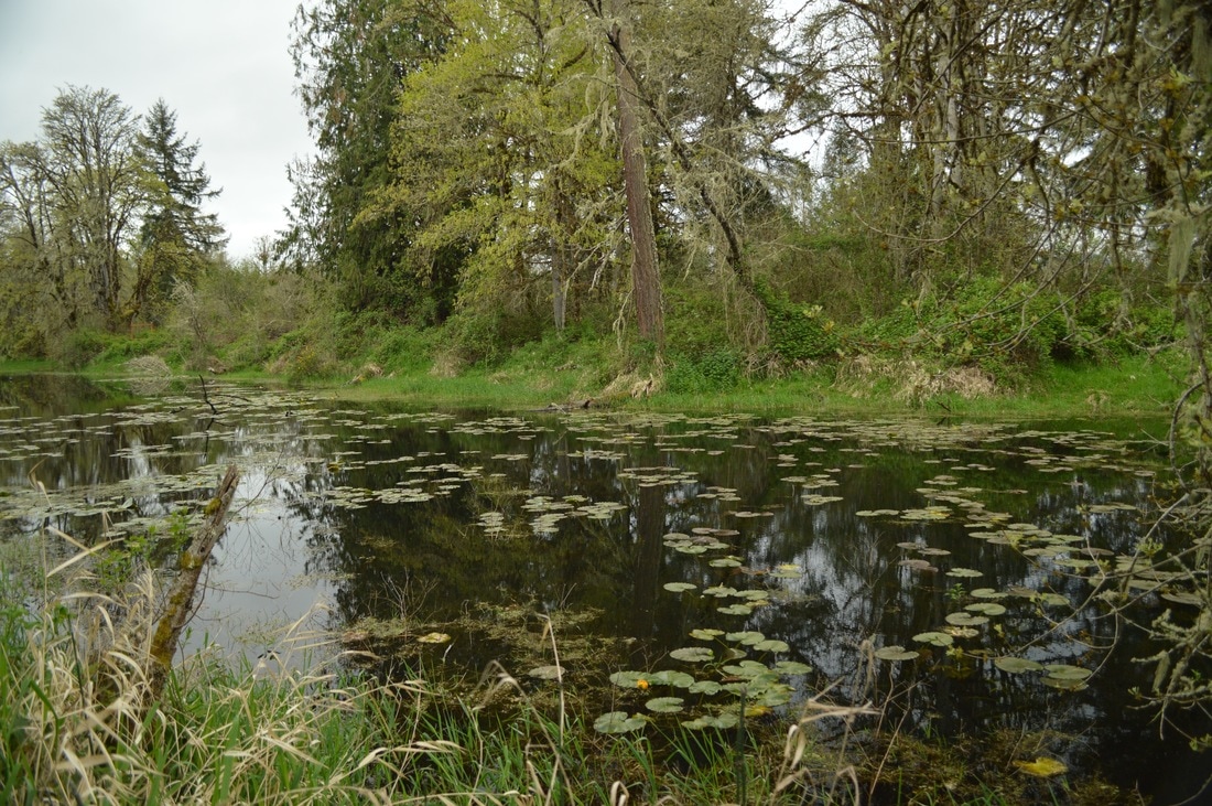
Elijah Bristow State Park is located next to the Middle Fork Willamette River and has over 10 miles of trail suited for horseback riding, biking and hiking. This description is for the Lost Creek loop, which is a total of 3 miles long. This area is perfect for wildlife viewing if you want to see a variety of birds such as water fowl, osprey, eagles, and herons. You will also see fun creatures such as turtles, newts, beaver, fish and slugs. Elijah Bristow State Park is the perfect place to take your young ones, or just go for a quick few mile hike after work. The state park was named after one of the first pioneer settlers in Lane County and has 847 acres of meadows, woodlands and wetlands.
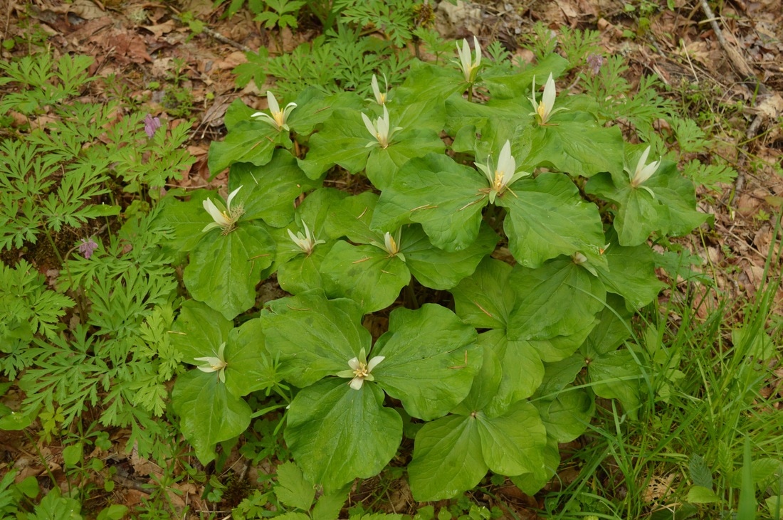
(trillium flowers early in bloom)
|
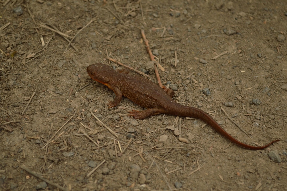
(an Oregon newt)
|
|
The Lost Creek Loop trailhead is about a 1/4 of a mile down the road off of the main park entrance. The trailhead parking is on your left. If you continue another 1/2 mile down this road, you will find a restroom, group picnic area, potable water and another trailhead for a different loop.
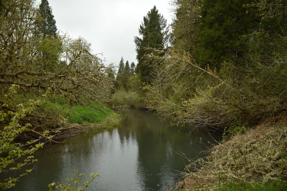
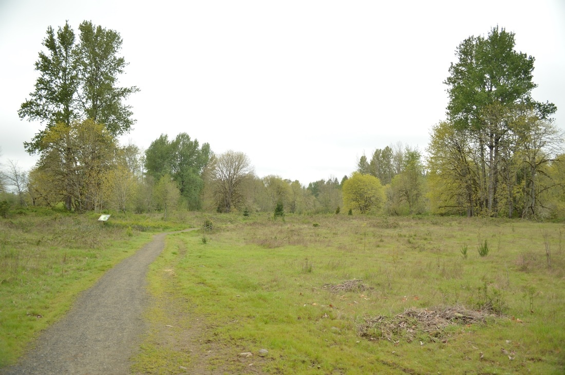
The Lost Creek loop is great because the first part starts off walking right next to Lost Creek, which in the spring is quite full. After about 0.8 miles you will come to a large open meadow where you can often see deer in the early mornings. There are large signs with information about the plants and trees in the meadow.If you want to really get to know the flora and fauna of the Willamette Valley, this is a great place to learn and explore. After the meadow, the trail heads toward the river and there are a few awesome rocky river bank areas for kids to play at, and to keep an eye out for osprey or bald eagles. The mile along the Middle Fork Willamette River is really beautiful. There are many trails that cut inland from here, but these would just complete the loop prematurely and take you back to the car. Not all the trails are named and marked, but the main trail (Lost Creek Loop) is fairly well marked and the trail is very large and established, unlike some of the other footpaths. |
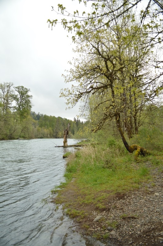
(Middle Fork Willamette River)
|
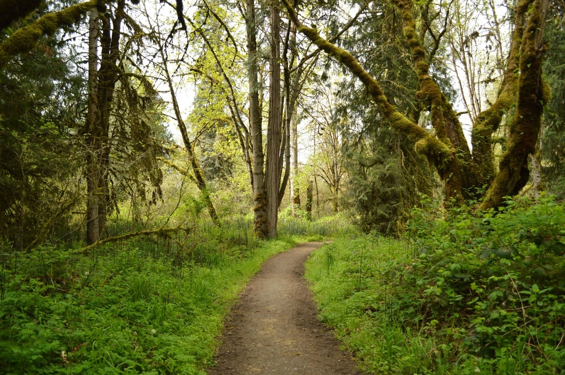
(Lost Creek Loop Trail)
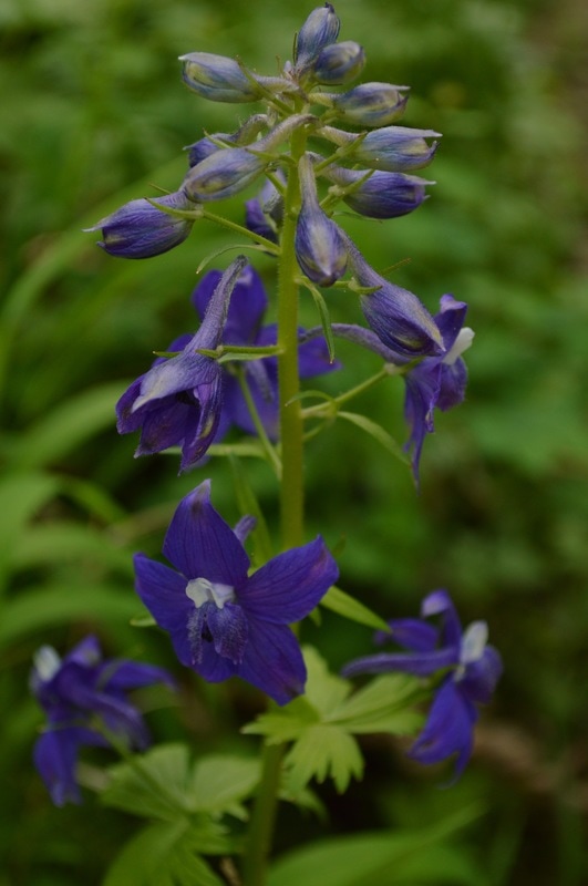
(upland larkspur)
|
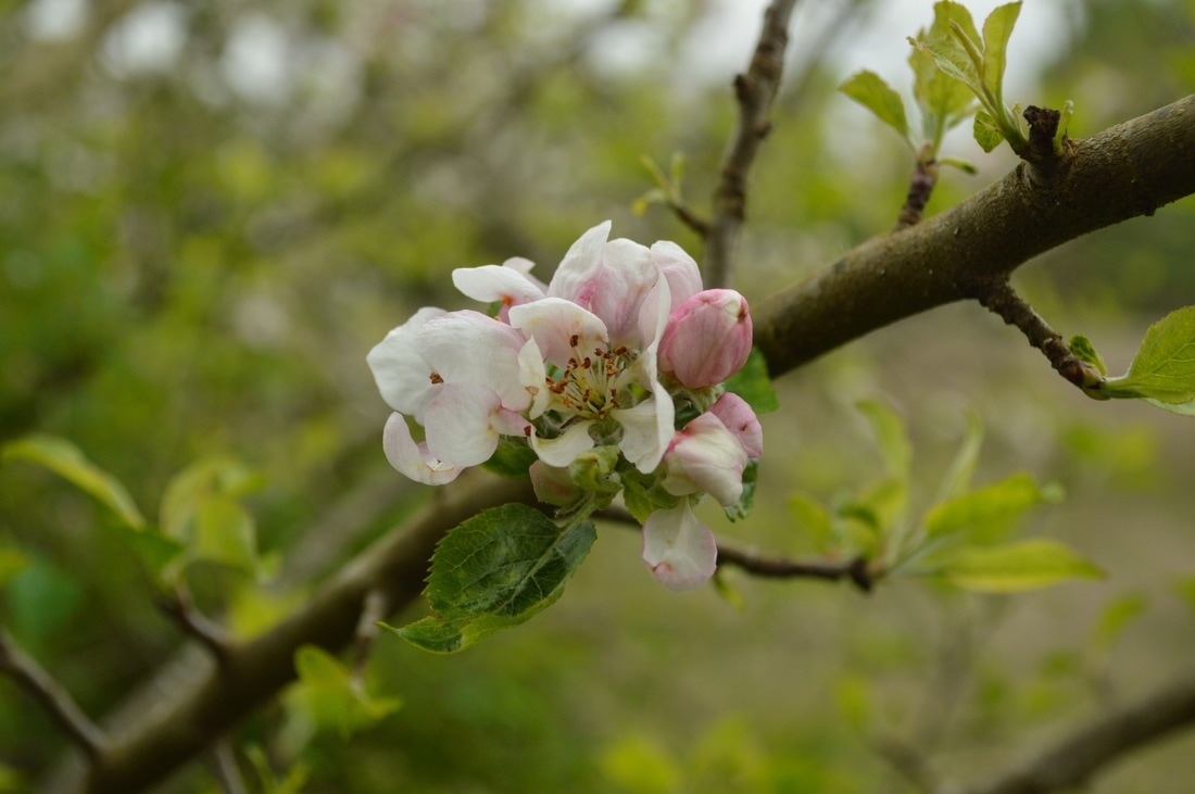
(apple blossoms in the spring)
Once the trail leaves the river, it heads 0.25 miles back and passes the main parking area with the picnic tables, and bathrooms. The last 0.25 miles of the loop takes you past many different kinds of fruit trees, which in April are blooming prolifically. After fruit tree row, you will head back across an open field/wildlife viewing area, cross the little road, and you will be back at your car.
Elijah Bristow State Park is an awesome place to go recreate whether it be on foot or on a horse. You can walk your dog here after work, you can take a summer morning run here, and best of all, you can take your children here to learn and explore the beauty and bounty of nature! All of the trails at Elijah Bristow are very easy, well maintained, and perfect for small children! |
Directions:
From Eugene
- Drive OR-58 E towards Oakridge for 17 miles, then turn left onto Wheeler Rd. After 0.25 miles turn right onto a road at a sign for Elijah Bristow State Park. Park in the parking area about 1/4 of a mile down the road on your left. It is a large parking area and you will see signs for Lost Creek loop. (Total of 17.5 miles)
*All pictures are taken by Franziska Weinheimer
*Disclaimer: The trail descriptions, mileage, GPS tracks and difficulty ratings depicted on this website are never 100% accurate. Always hike at your own risk, using your own knowledge, equipment and common sense. Franziska Weinheimer/Hike Oregon are not responsible if you or anyone in your party gets injured or lost while attempting one of these or any other hikes.