Tumalo Mountain
Hike details:
Mileage: 4 miles round trip w/ 1,350 ft. elevation gain
Approximate hike time: 1 hour 44 minutes w/ an average pace of 2.3 mph (if you are snowshoeing add about 1 hour)
Difficulty: Moderate
Trail usage: High on weekends (summer and winter), medium on weekdays in the summer, low on weekdays in the winter
Highest elevation: 7,755 ft. Lowest elevation: 6,375 ft.
General location: 21 miles west of Bend - Deschutes National Forest
Accessible: Year-round
(Best time to go hiking is July for beautiful weather and wildflowers, and mid-September through November for cooler temperatures and no wildfire smoke. For snowshoeing the best time to go is January through March).
Permits required: Northwest Forest Pass for parking (May 1 - October 30), Sno-Park pass (November 1 - April 30)
Pit toilet at trailhead: Yes
Trail allows: Dogs on leash in the summer (no dogs allowed Nov. 1 - Apr. 30), snowshoeing & cross country skiing
Possible dangers: N/A
Description:
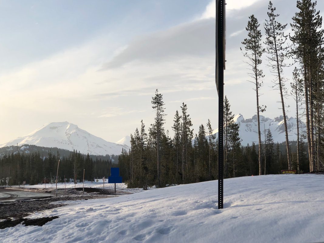
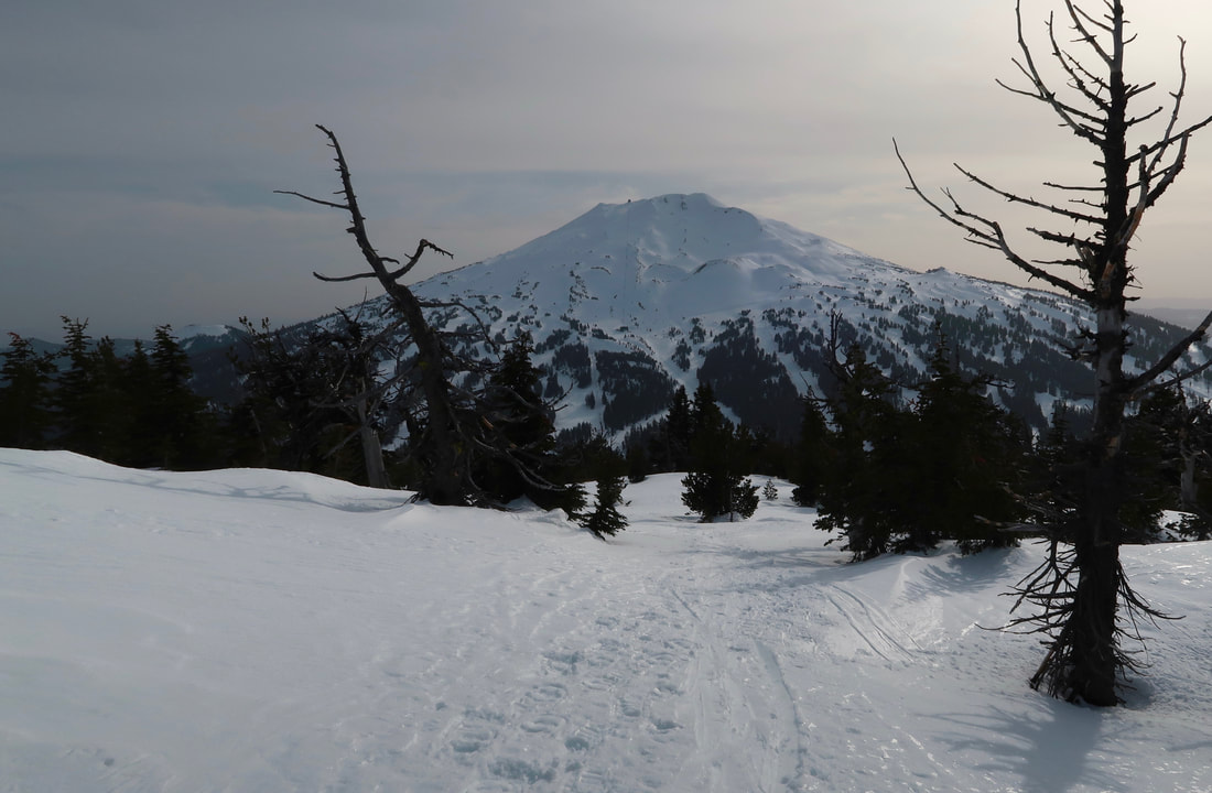
Tumalo Mountain is a moderate 4 mile round trip trail with spectacular views of the Three Sisters, Broken Top and Mt. Bachelor accessible during all seasons. Because it is short and with its close proximity to Bend, this hike extremely popular not only in the summer season, but also in the winter season when folks head up on a clear day with their snowshoes, skis or snowshoes.
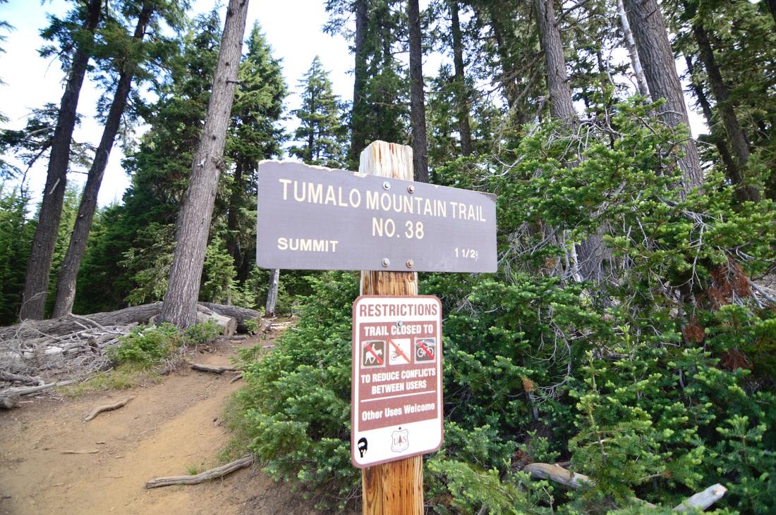
(*The trail sign does say 1.5 miles to the top, however when we hiked it with the GPS it was exactly 2 miles to the summit, which makes it 4 miles round trip. If you're snowshoeing your trek will likely be shorter since you are not following the actual hiking trail and are just heading up the mountain).
(*The trail sign does say 1.5 miles to the top, however when we hiked it with the GPS it was exactly 2 miles to the summit, which makes it 4 miles round trip. If you're snowshoeing your trek will likely be shorter since you are not following the actual hiking trail and are just heading up the mountain).
|
You will find the trailhead sign at the far end of the Dutchman Flat sno-park parking lot. In the summer time you will need to display your Annual Northwest Forest Pass and in the winter you need to have a Sno-Park Pass.
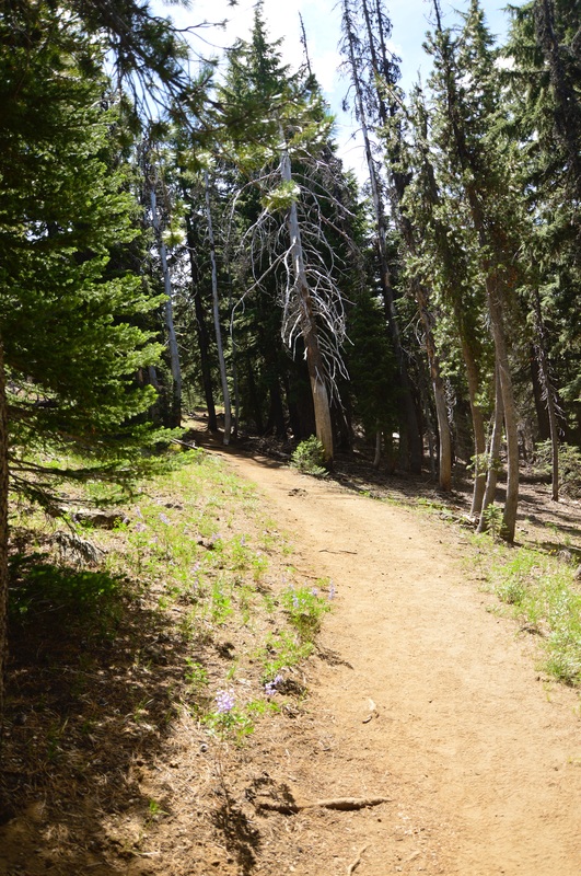
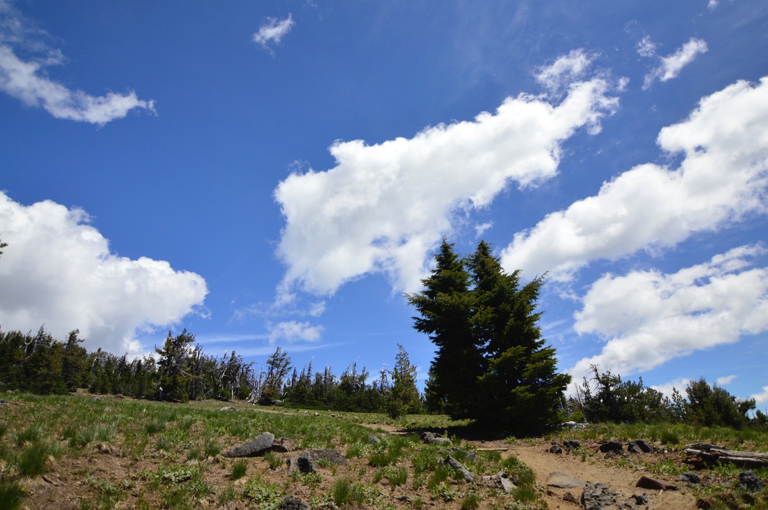
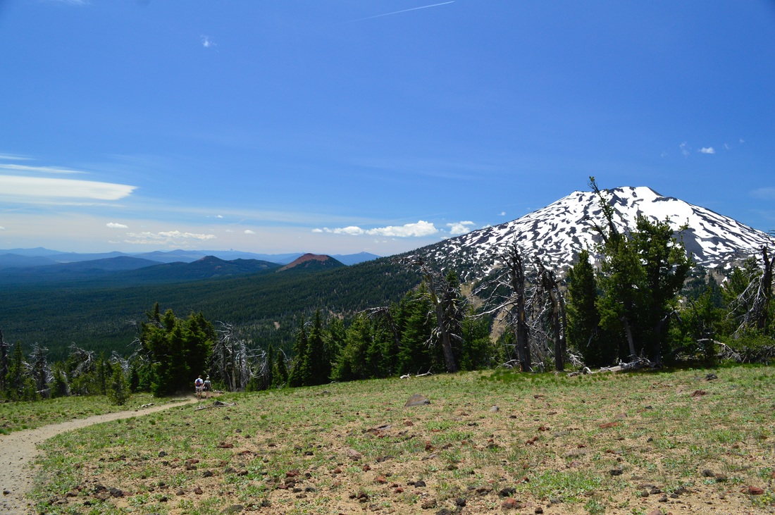
From here the trail starts off with a steady incline and there are a total of 5 switchbacks within the first half mile. The trail meanders through hemlock and pine forest, and it can get quite dusty in the dry summer and early fall months. After the switchbacks, in July you will climb through meadows of lupine, and these openings in the trees reveal glimpses of Mount Bachelor. |
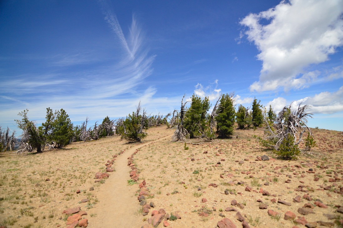
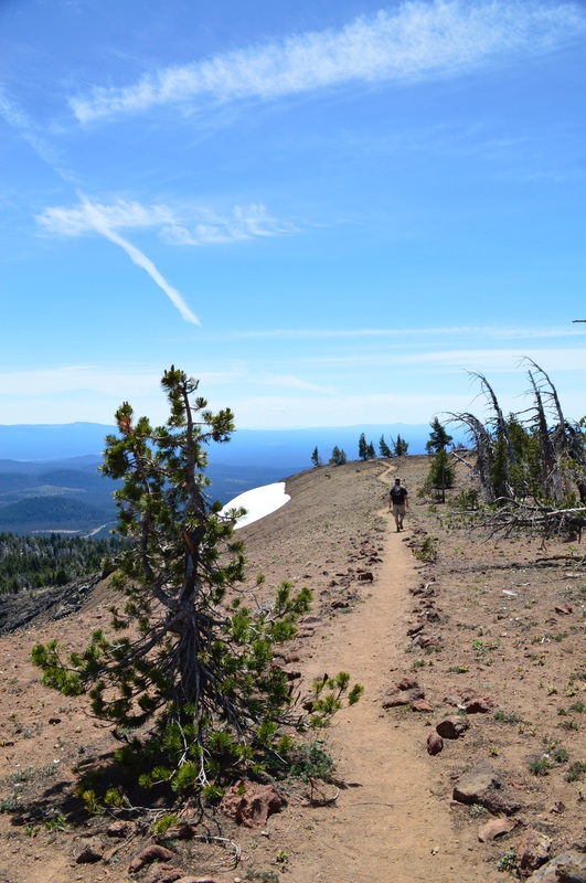
After about a mile of occasional meadows, the trail really opens up and will start to climb steeply for the last half mile. There are no more switchbacks here, and the trail pretty much goes straight up the cinder cone. Towards the top, the gnarled white bark pines create a really cool landscape, and red lava rocks have been laid out to mark the trail. This area is extremely fragile, so please don't stray from the marked trail because you could disturb the growth of very delicate wildflowers.
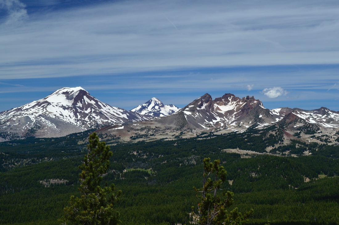
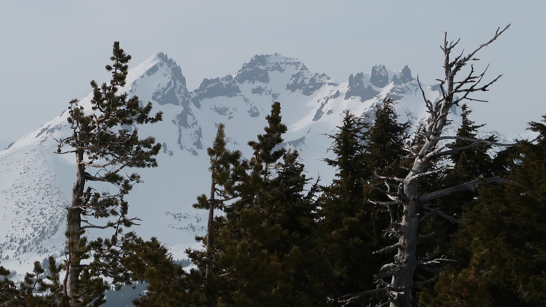
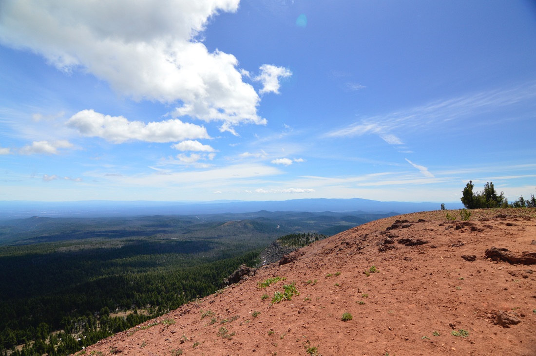
The summit of Tumalo Mountain is a large open space, with only a few gnarled trees and some flowering lupine in the summertime. To the east you will get sweeping views of Bend and the lush meadows of Sunriver below. To the north there are stunning views of the Three Sisters and Broken Top, and towards the south if you look past Mount Bachelor, you can even see Mount Thielsen's sharp spire.
|
Tumalo Mountain is a nice summer family friendly hike. It is rated as moderate because of the elevation gain on the way up, but in the summer the trail is always well maintained and there are no rocky or rooted sections to worry about. In the winter and spring you can snowshoe up to the top, or some folks will skin to the top and ski or board down and beat the crowds and steep fees at Mount Bachelor ski area across the street. Keep in mind that if you do snowshoe here, there is no official snowshoe trail (marked by blue diamonds), so make sure you have navigation handy and be equipped for very cold temperatures. Also make sure to be aware of avalanche danger.
Tumalo Mountain is an absolute gem in the Bend area, and whether you are a tourist or a long time resident of Oregon, you must go check out this hike in both the summer and winter seasons! |
Directions:
From Bend
- Drive 21 miles west of Bend on the Cascade Lakes Highway. Half a mile after the first Mt. Bachelor ski area exit, turn right into the Dutchman Flat sno-park. This is where the trail starts. (Total of 21 miles)
- Total of 149 miles via Bend. In the summer you can go via Oakridge and the Cascade Lakes Highway and it will only be 132 miles.
- Total of 153 miles via Bend.
- Total of 177 miles via Sunriver.
- Total of 186 miles via Bend.
|
To get a more in-depth and personal view of this hike, watch the YouTube video.
|
-This trail write-up was last updated in April 2018-
*All pictures are taken by Franziska Weinheimer *Disclaimer: The trail descriptions, mileage, GPS tracks and difficulty ratings depicted on this website are never 100% accurate. Always hike at your own risk, using your own knowledge, equipment and common sense. Franziska Weinheimer/Hike Oregon are not responsible if you or anyone in your party gets injured or lost while attempting one of these or any other hikes.
|

