Mount Pisgah Arboretum
Hike details:
Mileage: 1.3 mile loop w/ 160 ft. elevation gain
Approximate hike time: 33 minutes w/ an average pace of 2.3 mph
Difficulty: Easy
Trail usage: High on weekends and weekday afternoons, low on weekdays and rainy weekends
Highest elevation: 650 ft. Lowest elevation: 424 ft.
General location: 9 miles southeast of Eugene - Howard Buford Recreation Area
Accessible: Year-round
(Best time to go is any day when you can see views).
Permits required: Howard Buford Day Pass $4 or an annual Lane County Parks Pass
Pit toilet at trailhead: Yes
Trail allows: Dogs on leash, some trails allow horses but not this particular trail to the summit.
Possible dangers: Poison oak, ticks
|
Description:Mount Pisgah/Howard Buford Recreation Area is a wonderful place to recreate, whether you're there to hike to the summit, check out the arboretum, or look at the many wildflowers along the river bank, this beautiful sanctuary has something to offer everyone who wants to get out into nature. It is not always feasible for everyone to get out of town for those longer day hike excursions, so Mount Pisgah is the perfect place to go for a short after work or weekend morning hike.
The parking lot is very large, room for about 200 cars. Right by the parking lot there is a little visitor's center where one can pick up information about the arboretum and also info about renting the barn that they have built here for school trips or wedding type functions (fun fact - the author of Hike Oregon had her wedding here!) |
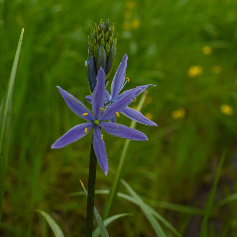
(camas flower)
|
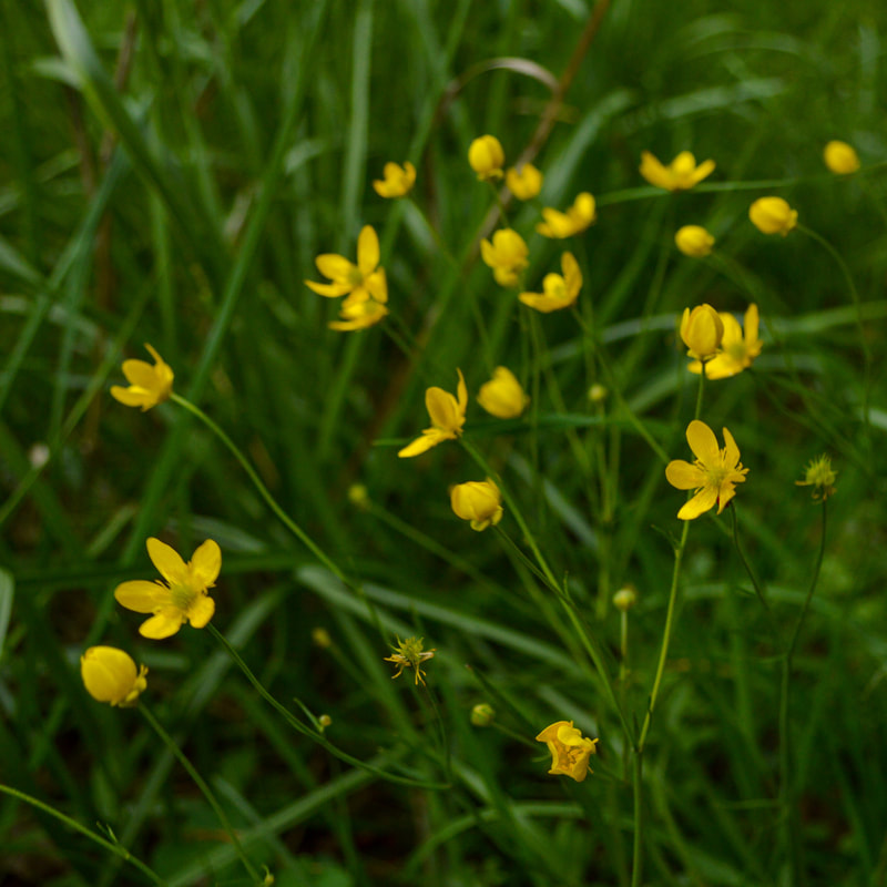
(buttercup)
|
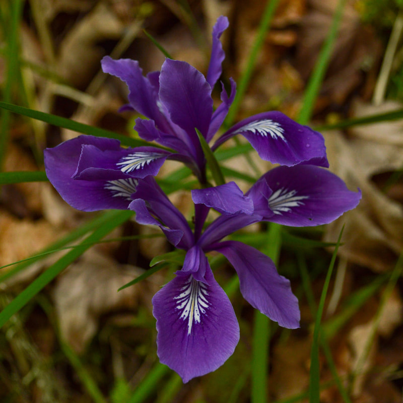
(wild iris)
|
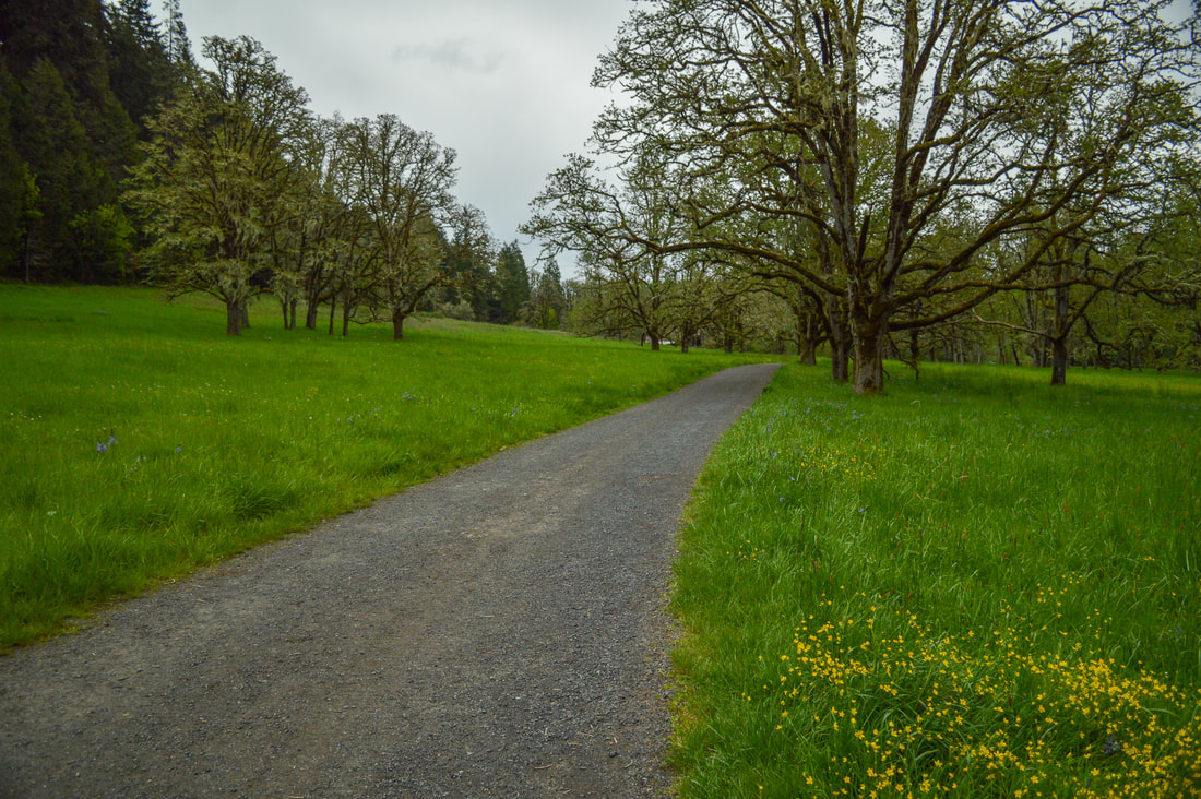
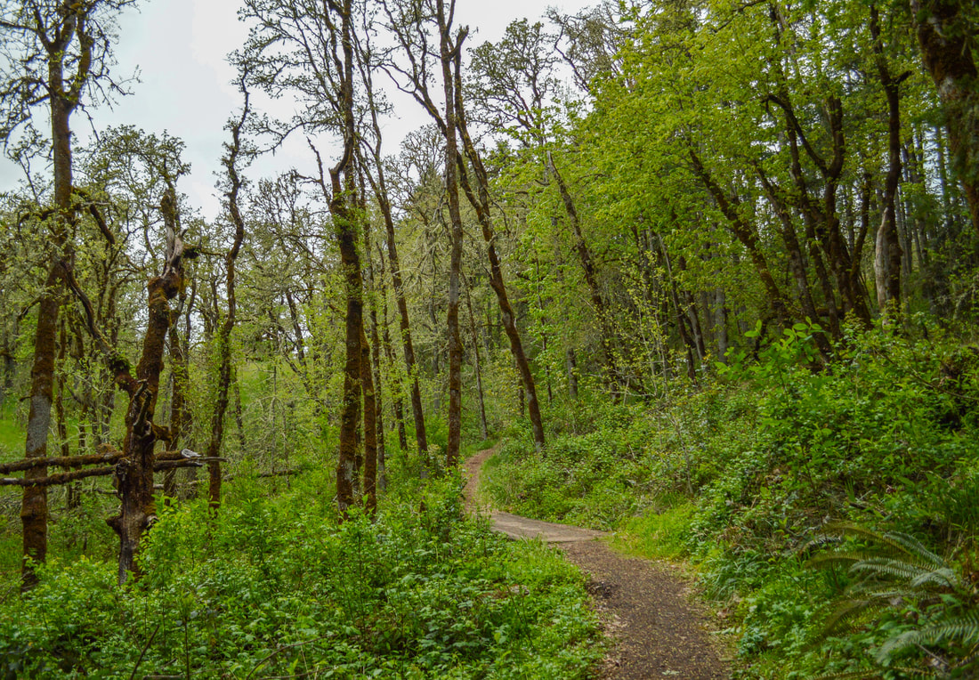
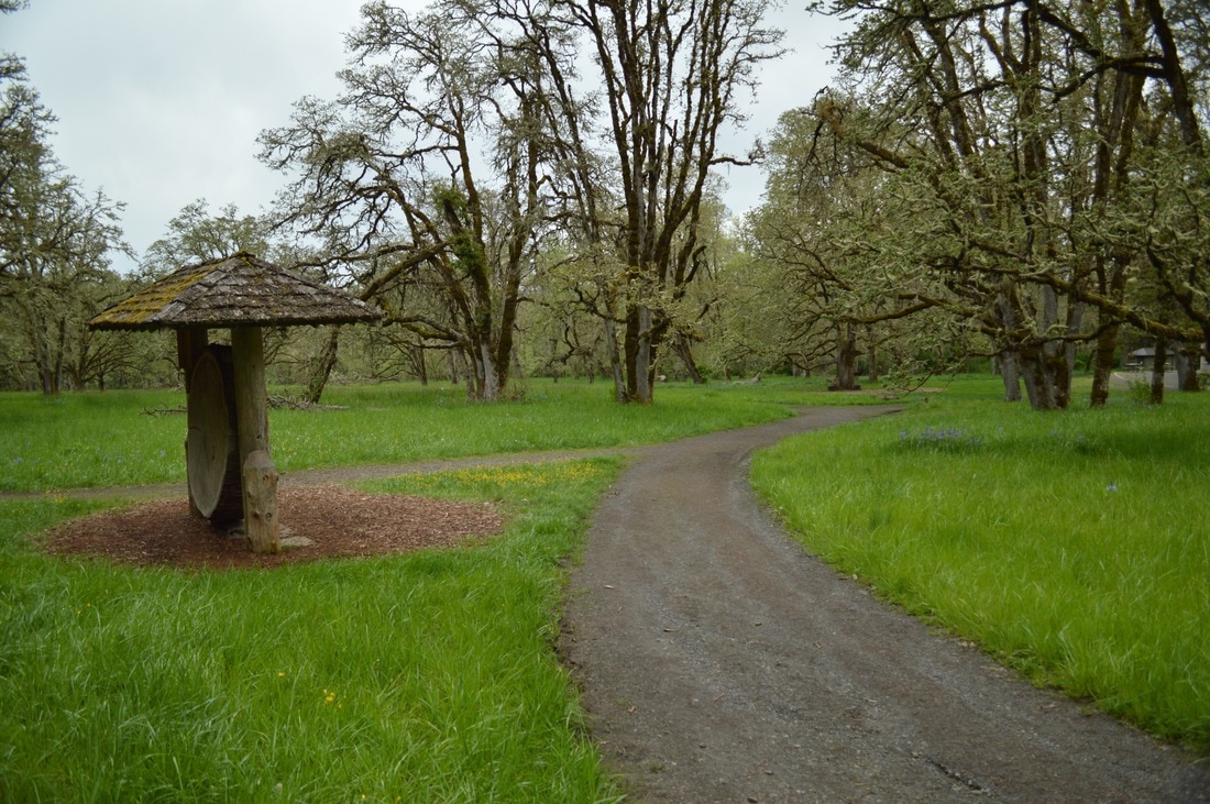
The arboretum trails start down at Meadow Road, where the road turns into a wide gravel trail. You can take a little detour and head over to the McCall Trail, which takes you along the river for a little bit. Meadow Road takes you past the big barn that you can rent, and through the oak savannah. In the springtime there are many wild flowers that bloom in the meadow usually in April.
|
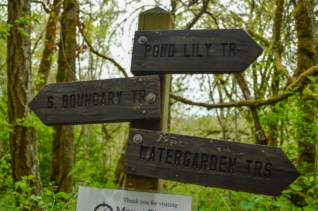
(trail junction)
|
Continue on the South Boundary Trail until to come to a trail split and see a sign for the Buford Trail. The South Boundary Trail does continue uphill through the oak trees and eventually connects with the summit trail close to the top. If you are not wanting to head to the summit of Mount Pisgah, continue on the Buford Trail.
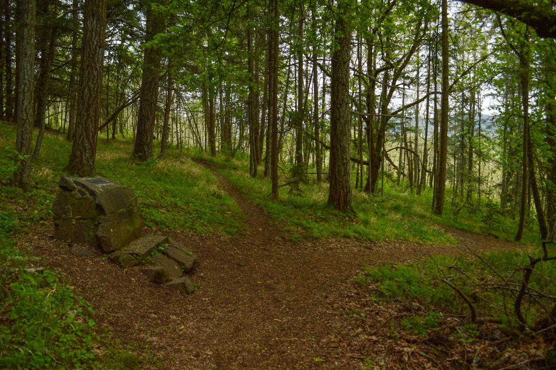
From here, you can then go on the Canyon Trail and eventually head back via the Zigzag Trail, or to make the loop a bit shorter, you can also go back via a path through the oak trees next to the big barn. From here you will already see the barn, so it is hard to miss. The trails are all in great condition especially down here at the arboretum, and the signs are obvious and plentiful. Almost all of the trails in the arboretum connect, so it is very difficult to get lost.
From here, you can then go on the Canyon Trail and eventually head back via the Zigzag Trail, or to make the loop a bit shorter, you can also go back via a path through the oak trees next to the big barn. From here you will already see the barn, so it is hard to miss. The trails are all in great condition especially down here at the arboretum, and the signs are obvious and plentiful. Almost all of the trails in the arboretum connect, so it is very difficult to get lost.
This arboretum loop is a wonderful short hike for those who have small children but still want to get out into nature and explore. If you are new to the area and want an easy hike and would like to learn more about the local flora, this is the place to do so. Check the Mount Pisgah website, as they frequently have free or low cost local classes offered to folks and/or kids who would like more knowledge.
Directions:
From Eugene
- From I-5 S take exit #189 then turn right onto Franklin Blvd. which you will stay on for only 0.4 miles before turning left onto Seavey Loop Rd. Drive along this road for 1.5 miles until you cross a bridge, here you will turn right to get to the main parking area. If you want to explore and take a less traveled back way you can turn left and park at a gravel parking area there.
- Total of 70 miles via Eugene.
- Total of 114 miles via Eugene.
- Total of 134 miles via Oakridge and Eugene.
- Total of 163 miles via Eugene.
-This trail write-up was last updated in 2017-
*All pictures are taken by Franziska Weinheimer
*All pictures are taken by Franziska Weinheimer
*Disclaimer: The trail descriptions, mileage, GPS tracks and difficulty ratings depicted on this website are never 100% accurate. Always hike at your own risk, using your own knowledge, equipment and common sense. Franziska Weinheimer/Hike Oregon are not responsible if you or anyone in your party gets injured or lost while attempting one of these or any other hikes.