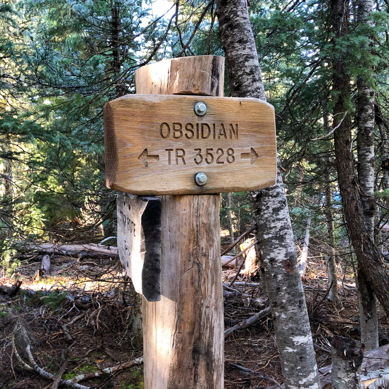
Obsidian Trail
Hike details:
Mileage: 11.5 miles lollipop loop w/ 2,157 ft. elevation gain
Approximate hike time: 5 hours w/ an average pace of 2.3 mph
Difficulty: Difficult
Trail usage: Medium (there are only 30 people per day allowed to use this trail)
Highest elevation: 6,645 ft. Lowest elevation: 4,787 ft.
General location: 20 miles west of Sisters - Willamette National Forest - Three Sisters Wilderness
Accessible: Mid-July through mid-November
(Best time to go is late July and early August for prime wildflowers, late September and October are best for cooler temperatures).
Permits required: Day trips & overnight - Central Cascades Wilderness Permit June 15 - October 15 available via recreation.gov
Northwest Forest Pass for parking
Pit toilet at trailhead: Yes
Trail allows: Dogs, horses/stock animals, camping
Possible dangers: N/A
|
|
|
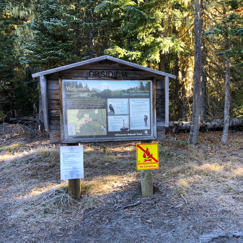
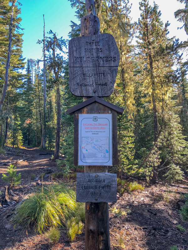
Description:The Obsidian Trail is a very popular lollipop loop that goes into the Three Sisters Wilderness. Because of the uniqueness of the area, with wildflower meadows, lava flows, epic mountain views, and an area entirely covered in obsidian rock, this was turned into a limited entry permit-only area over 20 years ago after it almost got destroyed by all of the people flocking to this little slice of heaven. From June 15 to October 15 there are 30 day use permits and 13 overnight permits available per day that you can get starting the first Tuesday in April each year at recreation.gov.
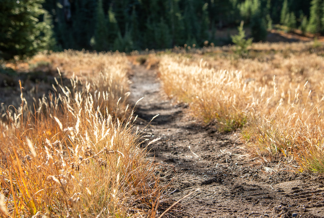
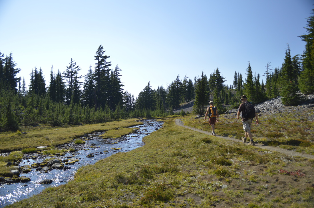
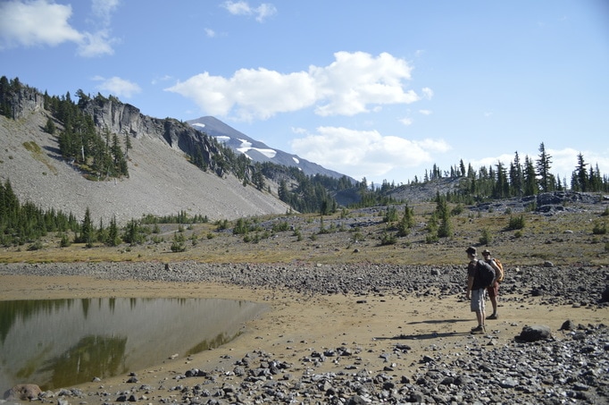
The trail starts out in a sparse forest where bushels of bear grass bloom in July. After 0.25 miles on your left you will see the connector trail that goes half a mile to the Scott Trail. (If you are looking for a longer loop, you can backpack this Obsidian/Scott Loop which is a total of 17.5 miles). At the 0.9 mile mark you will see a trail going off to the right which leads to Spring Lake. This is a small lake in a burn area at the edge of a lava flow.
|
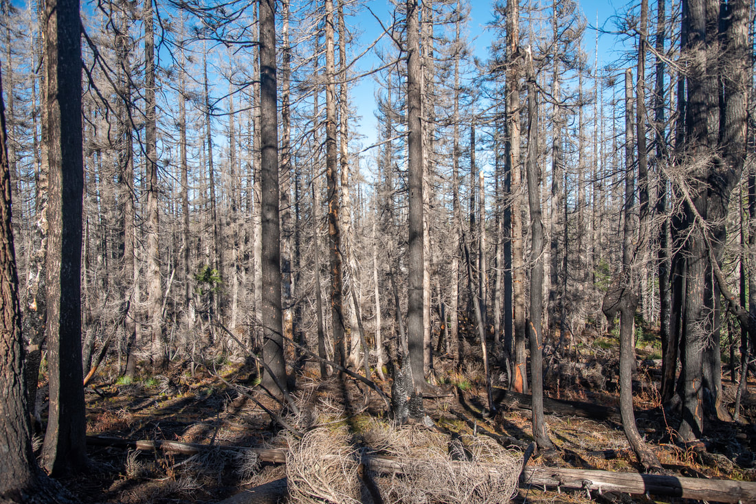
(damage from the 2017 Separation Creek fire)
|
As you continue down the trail you will enter a burn scar from the 2017 Separation Creek Fire. This section is only 0.2 miles long, before the trail takes you into the forest again. For the next 1.6 miles the trail continues to meander through the sparse forest, passing springs and small meadows where wildflowers bloom in July.
|
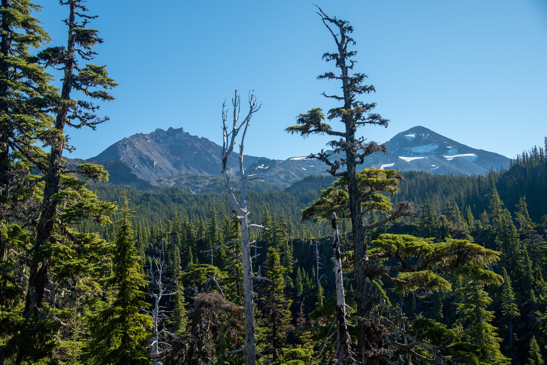
(North & Middle Sister)
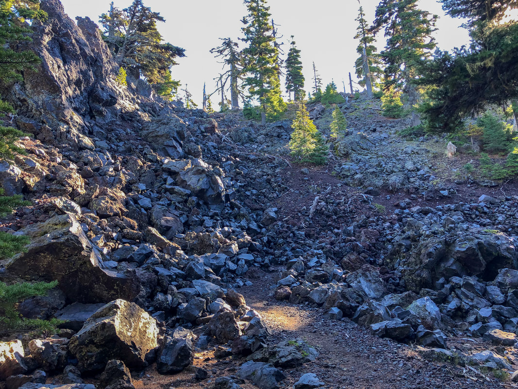
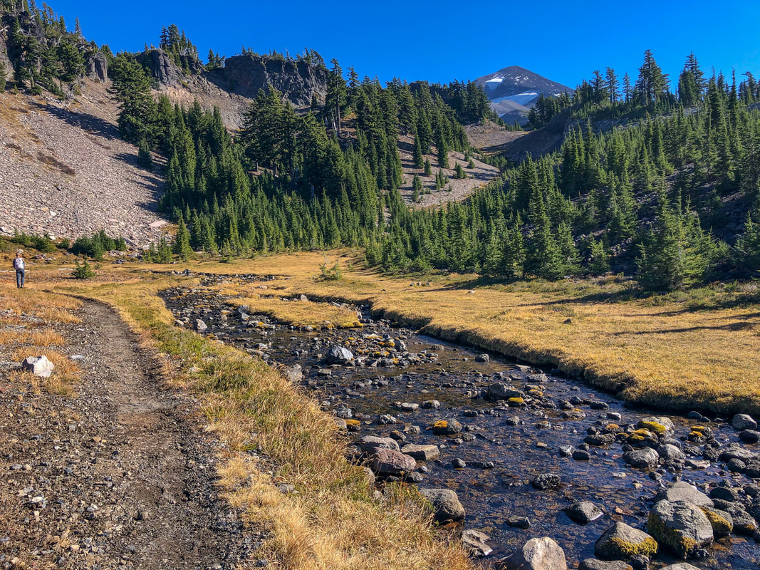
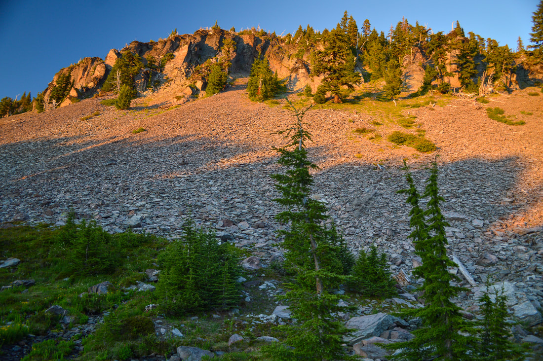
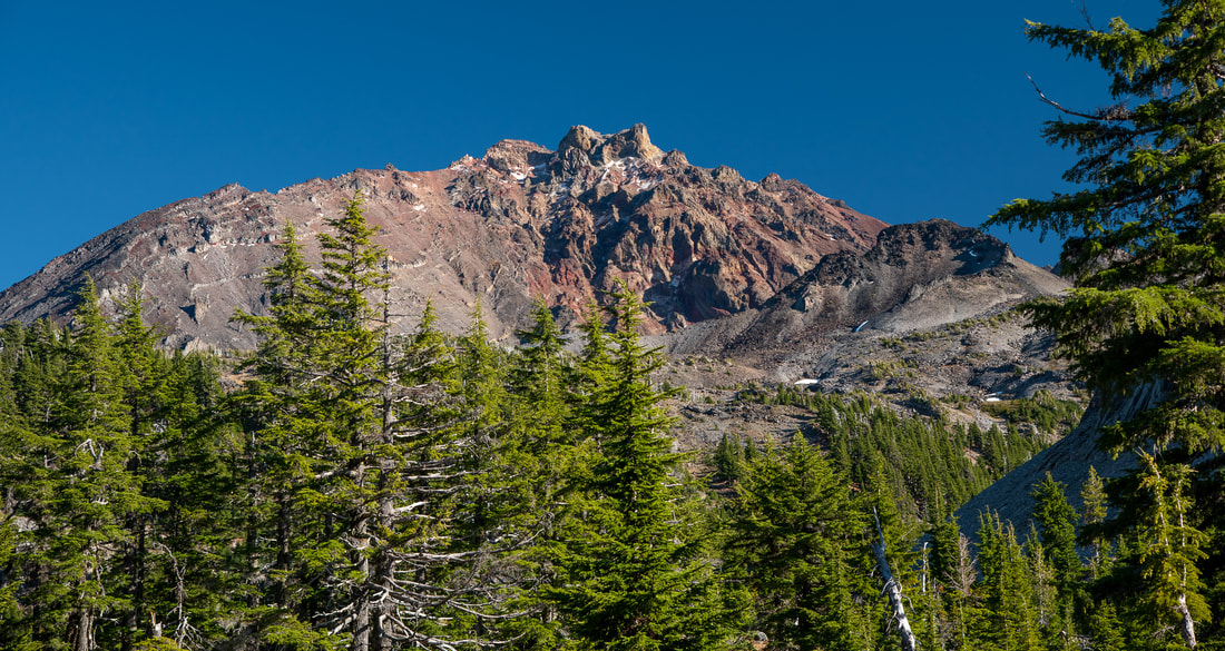
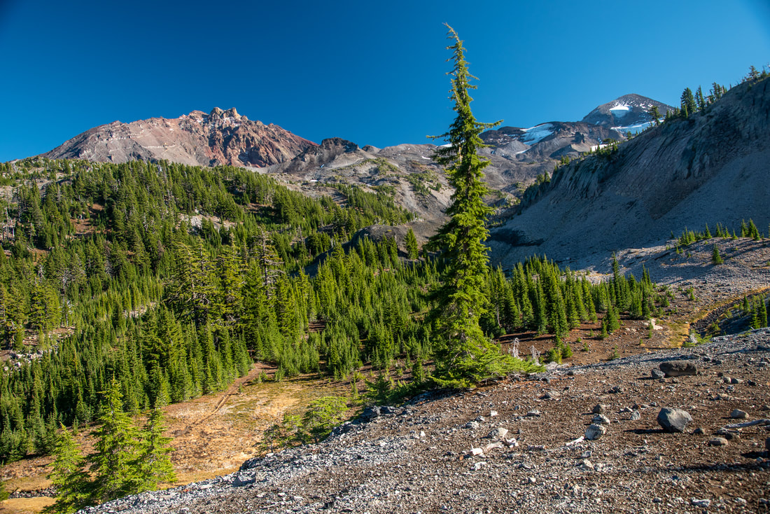
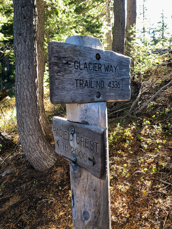
At the 3 mile mark you will enter the lava flow that the trail takes you up and over. It is a neat experience crossing the lava and from here you will get amazing views of North and Middle Sister. At a high point, if you look north, you will also see Mount Washington, Three Fingered Jack and Mount Jefferson. After the 0.6 miles of lava, you will cross White Branch Creek and then come to a trail junction with Glacier Way. This is where the lollipop loop begins. You will continue to the right on the Obsidian Trail as it now takes you through a much denser forest of mountain hemlock and fir trees as you gain some elevation. Between sections of forest, you will cross lush meadows teaming with wildflowers and butterflies in July, and glowing golden in late September and October.
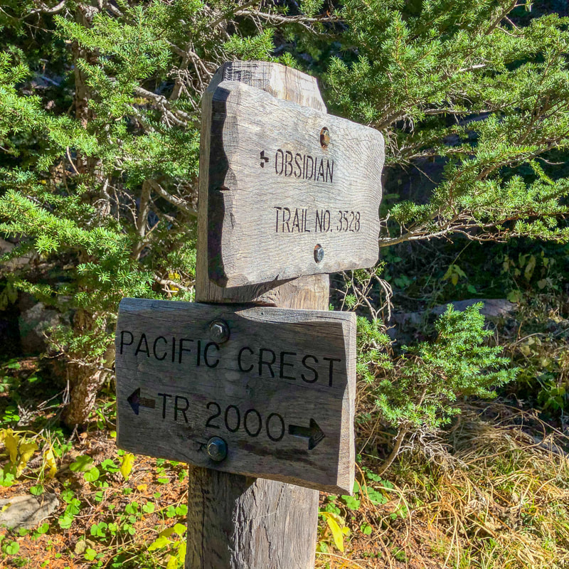
After 2.1 miles you will arrive at the Pacific Crest Trail junction. To continue on the Obsidian Loop you will go left (PCT northbound). Shortly after the junction you will see Obsidian Falls, which is a stunning little 20 foot waterfall lined with wildflowers. Right above Obsidian Falls is Sister Spring, an absolutely incredible place to stop and take a lunch break.
|
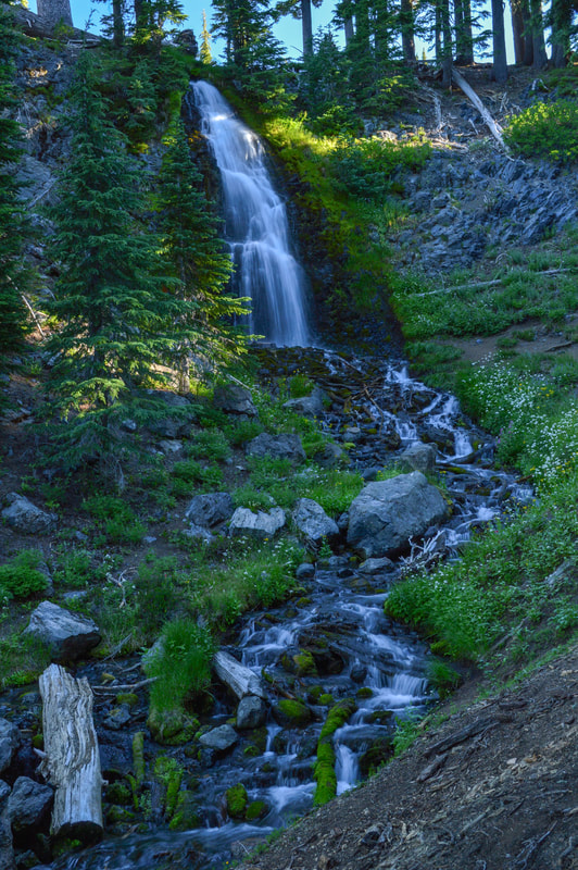
(Obsidian Falls 20 ft.)
|
(Sister Spring - November)
|
(Obsidian Creek flowing from Sister Spring - August)
|
(Obsidian Cliffs)
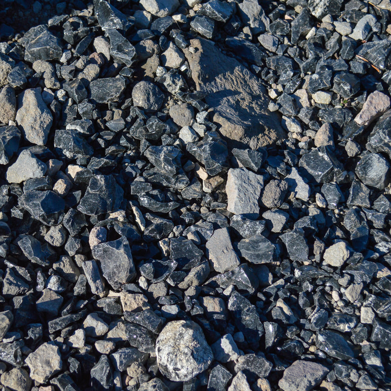
At this point you have hiked 6 miles and if you are hiking in the summer, this is a great place to fill up your water bottles (even though this is a spring, always filter your water). If you are hiking with a dog, this would also be the spot where you would have to put booties on your pup's feet. The pieces of obsidian that you are about to encounter are extremely sharp and will cut your dog's paw pads.
|
(small pond along the trail)
|
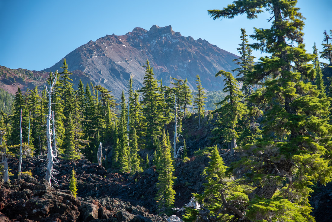
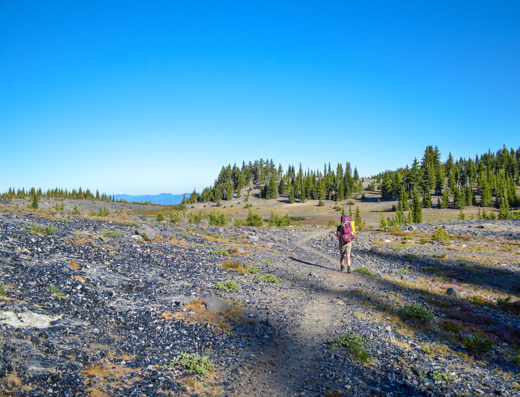
From Sister Spring you will continue northbound on the Pacific Crest Trail for another 1.2 miles. These 1.2 miles are jam packed with incredible things to see. You will walk through a landscape glittering with pieces of obsidian. You will cross over the high point of the trail where you will have a view of Middle and North Sister and you will see the trail that is the popular route for folks summiting Middle Sister. In mid-July and early August the wildflower meadows that you walk through are covered in lupine and sometimes if you are on the trail at just the right time, you can catch the butterfly migration and there will be thousands of butterflies here.
(North Sister)
(Middle Sister climber trail down below)
(Mount Washington, Three Fingered Jack, Mount Jefferson)
|
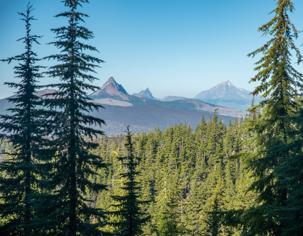
After the high point of the trail you will start to lose elevation pretty quickly as you switchback downhill. Views open up to the north of Mount Washington, Three Fingered Jack and Mount Jefferson. At the 7.1 mile mark, make sure you don't miss the Glacier Way trail junction. You will depart from the Pacific Crest Trail and go left and take Glacier Way Trail #4336. This trail is only 0.8 miles long as it connects you back to the Obsidian Trail. After you meet back up with the Obsidian Trail, you will continue the 3.7 miles back to your car.
The Obsidian Loop Trail is definitely a special place full of exciting things to see. It is the perfect place to take your kids on their first time backpacking trip, just make sure to get an overnight permit first. Whether you want to see summer wildflowers, lava, mountain views, mountain springs, beautiful forests, a waterfall and obsidian rock, this trail truly has it all. If you are going early in the season (as soon as Hwy. 242 opens and through July), be prepared for some down trees. And if you are hiking with dogs, make sure to bring booties for them in the lava and obsidian sections. |
Directions:
From Sisters
- Drive on OR-242 W for a total of 20 miles. At a sign for Obsidian Trail turn left and enter the circular parking area. There is room for about 15-20 cars. There is separate parking for horse/stock trailers. (Total of 20 miles)
- Drive on OR-126 E for 6.8 miles, then Use the left 2 lanes to turn left onto OR-126 E/Main St. and continue on this road for a total of 48.4 miles. At a sign for Old McKenzie Scenic Byway turn right onto OR-242 E and take this very narrow and windy road uphill for 14.6 miles. At a sign for Obsidian Trail turn right and enter the circular parking area. There is room for about 15-20 cars. There is separate parking for horse/stock trailers. (Total of 72.6 miles)
- Drive on OR-22 E for 80 miles, then turn right toward US-20 W and then stay right for 3.1 miles. Turn left onto OR-126 E for 19.8 miles, and at a sign for Old McKenzie Scenic Byway turn left onto OR-242 E and take this very narrow and windy road uphill for 14.6 miles. At a sign for Obsidian Trail turn right and enter the circular parking area. There is room for about 15-20 cars. There is separate parking for horse/stock trailers. (Total of 121.8 miles)
- It is a total of 164.8 miles via Salem.
- It is a total of 235.8 miles via Eugene.
-This trail write-up was last updated in December 2021-
*All pictures are taken by Franziska Weinheimer
*All pictures are taken by Franziska Weinheimer
*Disclaimer: The trail descriptions, mileage, GPS tracks and difficulty ratings depicted on this website are never 100% accurate. Always hike at your own risk, using your own knowledge, equipment and common sense. Franziska Weinheimer/Hike Oregon are not responsible if you or anyone in your party gets injured or lost while attempting one of these or any other hikes.