Easy Hikes in Oregon
The term "easy hikes" means something different to everyone, but I know from experience that everyone at some point in their life is looking for an easy hike to do. Whether you are looking for an in-town nature walk to do with your toddler, an easy trail along the coast to take your older dog on, or something with wildflowers and a view to stimulate your senses, I guarantee there is something on this list for everyone! This list includes hikes ranging from less than half a mile, up to 5 miles that all have 600 feet or less of elevation gain. You will find even more easy rated hikes in my hiking guidebooks.
Oregon Coast (Lincoln City, Newport, Yachats, Florence)
- Drift Creek Falls - 3 miles round trip w/ 525 ft. elevation gain
- Hobbit Beach - 0.75 miles round trip w/ 190 ft. elevation gain
- Sweet Creek Falls - 2.1 miles round trip w/ 330 ft. elevation gain
- Beaver Creek Falls - 1.5 miles round trip w/ 107 ft. elevation gain
- Valley Trail to China Creek - 2.8 mile lollipop loop w/ 235 ft. elevation gain
- Sutton Creek (website members only access) - 4.3 mile loop w/ 143 ft. elevation gain
- Siltcoos Lake (website members only access) - 4.2 mile lollipop loop w/ 565 ft. elevation gain
Northern Oregon (Portland, Salem, Corvallis, Sweet Home)
- Powell Butte - 3.5 mile loop w/ 530 ft. elevation gain
- Latourell Falls - 2.4 mile loop w/ 585 ft. elevation gain
- Trillium Lake - 2 mile loop w/ 80 ft. elevation gain
- Alsea Falls - 2.2 mile loop w/ 600 ft. elevation gain (if you don't include Green Peak Falls. You can include this and it will make the hike 5.5 miles with just over 700 feet of elevation gain, but it still feels like a very easy hike).
- William Finley Wildlife Refuge - Campbell Boardwalk - 0.75 miles round trip w/ 39 ft. elevation gain
Mill Hill Loop - 3.6 mile lollipop loop w/ 207 ft. elevation gain
Beaver Pond Loop - 2.3 mile lollipop loop w/ 100 ft. elevation gain
- McDowell Creek Falls - 1.8 mile loop w/ 340 ft. elevation gain
- Lower Soda Creek Falls (website members only access) - 1.5 round trip w/ 460 ft. elevation gain
Western Oregon (Eugene, McKenzie River, Oakridge)
- Sahalie & Koosah Falls - 2.8 mile loop w/ 455 ft. elevation gain
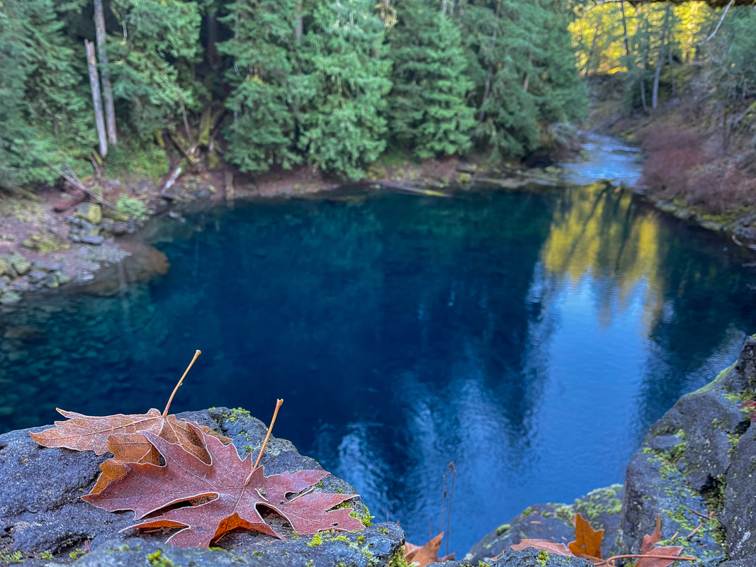
- Blue Pool - 4.25 miles round trip w/ 375 ft. elevation gain
- Proxy Falls - 2 mile loop w/ 250 ft. elevation gain
- Clear Lake - 5 mile loop w/ 560 ft. elevation gain
- Ridgeline Trail - Blanton Ridge - 3.4 miles round trip w/ 400 ft. elevation gain
Mount Baldy & Mount Baldy Loop - 1 mile round trip w/ 250 ft. elevation gain (Mount Baldy) or 1.7 mile loop w/ 420 ft. elevation gain (Mount Baldy loop)
- Moon Falls - 1.1 miles round trip w/ 80 ft. elevation gain
- Parker Falls - 2 miles round trip w/ 410 ft. elevation gain
- Elijah Bristow State Park - Lost Creek Loop - 3 mile loop w/ 77 ft. elevation gain
- Mount Pisgah Arboretum - 1.3 mile loop w/ 160 ft. elevation gain
- Salt Creek Falls bottom viewpoint - 0.7 miles round trip w/ 230 ft. elevation gain (you can make this hike into a 3.75 mile loop which would then be 900 ft. of elevation gain and possibly considered moderate).
- Deception Creek - 3.5 miles round trip w/ 395 ft. elevation gain
- Pool Creek Falls (website members only access) - 0.8 miles round trip w/ 535 ft. elevation gain
- Bobby Lake (website members only access) - 5 miles round trip w/ 415 ft. elevation gain
- Wall Creek Warm Springs (website members only access) - 0.6 miles round trip w/ 131 ft. elevation gain
- Eagle's Rest (website members only access) - 1.1 miles round trip w/ 415 ft. elevation gain (from the upper trailhead)
- Rainbow Falls overlook (website members only access) - 2.75 miles round trip w/ 200 ft. elevation gain
Central Oregon (Sisters, Bend, LaPine, Redmond, Prineville)
- Metolius Preserve - Larch Loop - 2.8 mile loop w/ 60 ft. elevation gain
- Square Lake - 4.8 miles round trip w/ 550 ft. elevation gain
- Tumalo Falls - 2 miles round trip w/ 357 ft. elevation gain (to Double Falls)
- Steelhead Falls - 2.5 miles round trip w/ 250 ft. elevation gain
- Shevlin Park Loop - 4.6 miles round trip w/ 190 ft. elevation gain
- Chimney Rock - 2.6 miles out and back w/ 665 ft. elevation gain (just over 650 feet elevation gain but still an easy hike)
- Steins Pillar - 4 miles round trip w/ 660 ft. elevation gain (just over 650 feet elevation gain but still an easy hike)
- The Badlands - Ancient Juniper Loop - 3.1 mile loop w/ 175 ft. elevation gain
Southern Oregon (Roseburg, Crater Lake, Ashland, Medford)
- The Watchman - 1.6 miles out and back w/ 375 ft. elevation gain
- The Pinnacles - 1.4 miles out and back w/ 70 ft. elevation gain
- Fall Creek Falls - 1.6 miles out and back w/ 400 ft. elevation gain
- Watson Falls - 1 mile loop w/ 425 ft. elevation gain
- Lemolo Falls (website members only access) - 2.5 miles out and back w/ 600 ft. elevation gain
Eastern Oregon (everything east of Prineville)
- Painted Cove - 0.25 miles out and back w/ 50 ft. elevation gain
- Mount Howard - 2.5 mile loop w/ 400 ft. of elevation gain


