Cowhorn Mountain
Hike details:
Mileage: 9.6 miles round trip w/ 2,260 ft. elevation gain (Timpanogas Lake to Cowhorn Mountain summit and back)
11.5 miles loop w/ 2,390 ft. elevation gain (Timpanogas Lake - Cowhorn Mountain loop hike)
Approximate hike time: 4 hours 10 minutes w/ an average pace of 2.3 mph (round trip hike)
5 hours w/ an average pace of 2.3 mph (loop hike)
Difficulty: Difficult
Trail usage: Low
Highest elevation: 7,592 ft. Lowest elevation: 5,340 ft.
General location: 43 miles southeast of Oakridge - Oregon Cascades Recreation Area - Willamette National Forest
Accessible: Late June/early July through mid-November
(Best time to go is any time between August through October for great weather and no mosquitoes).
Permits required: N/A
Pit toilet at trailhead: Not at the day use parking area but there is one at the campground
Trail allows: Dogs, horses, mountain biking, motorcycles (not allowed on the PCT or summit trail), camping
Possible dangers: Steep drop offs near the summit
Description:
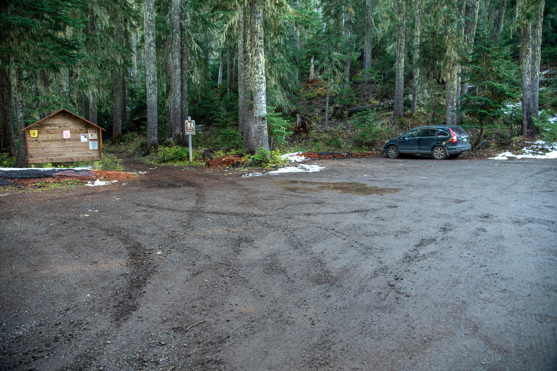
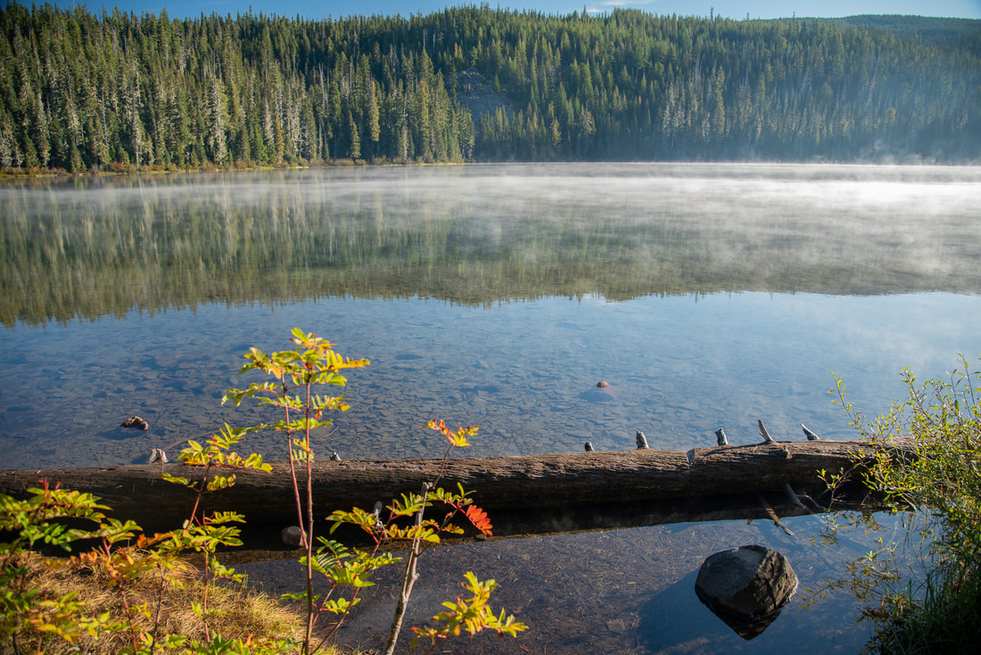
Timpanogas Lake is a great starting point for countless hiking and mountain biking trails, such as June Lake, Indigo Lake, Summit Lake by way of the Pacific Crest Trail, Cowhorn Mountain summit, the High Divide Trail and the Middle Fork Willamette Trail. Timpanogas Lake has a campground, as well as a shelter that can be rented. The day use parking area is just past the campground, and it has room for about 15 cars. From there you will walk back down the road to Timpanogas Lake and find the trail beginning on the left (southwest) side of the lake. For 0.25 miles you will walk around the west side of the lake, pass by the Timpanogas cabin and then come to a trail junction.
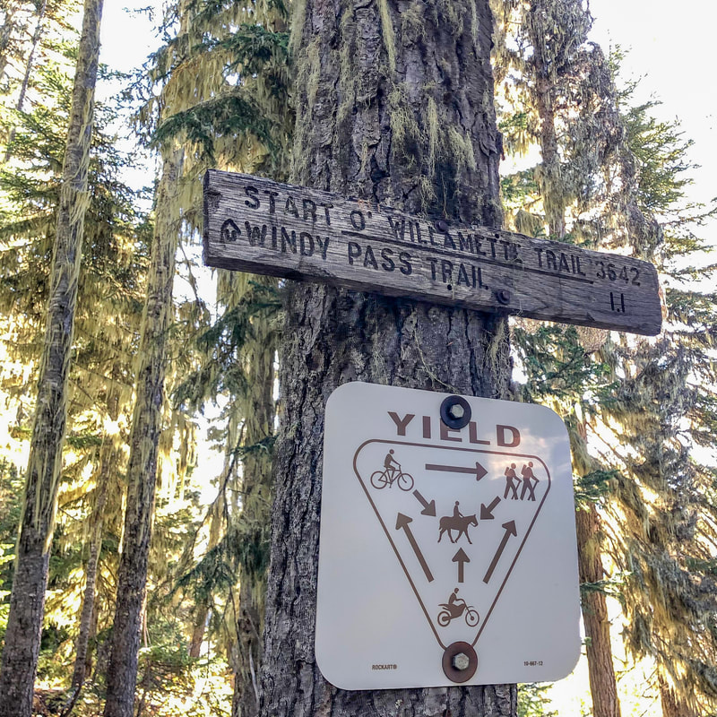
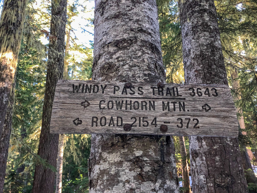
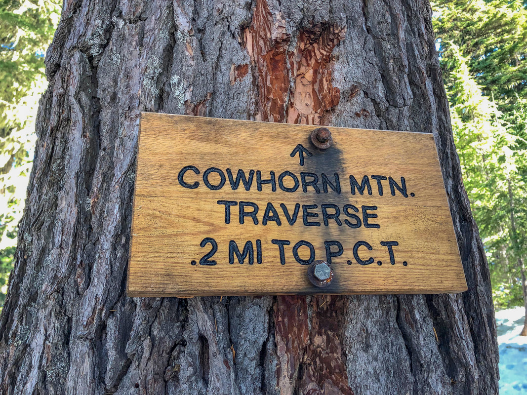
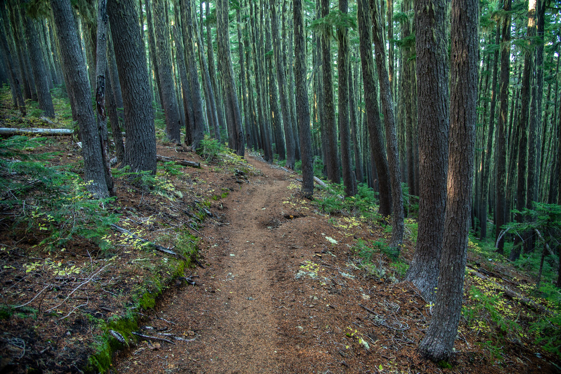
Head up the Start O'Willamette Trail #3642 as it switchbacks uphill for 1 mile through hemlock and pine trees and T's into the Windy Pass Trail. At this trail junction you will take a right onto the Windy Pass Trail #3643 as you continue heading uphill through a thick forest for 2.6 miles. Overall, most of this hike is not very interesting because there aren't many viewpoints until you get up higher, but the climb through the forest can be very relaxing and extremely quiet as this area is not heavily trafficked. After 2.6 miles keep your eyes out for a sign on the left hand sign indicating a tie trail over to the Pacific Crest Trail. Take a left on this 0.2 mile traverse and arrive at the PCT.
|
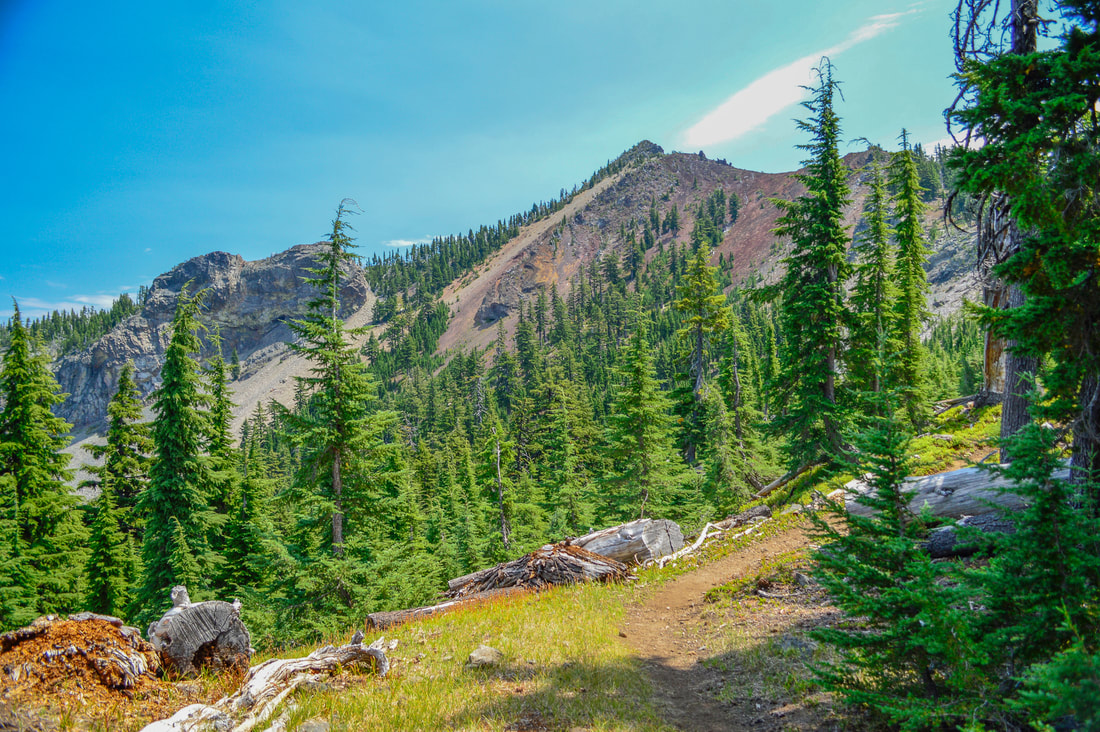
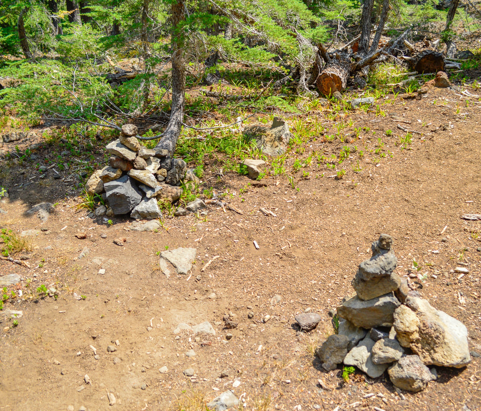
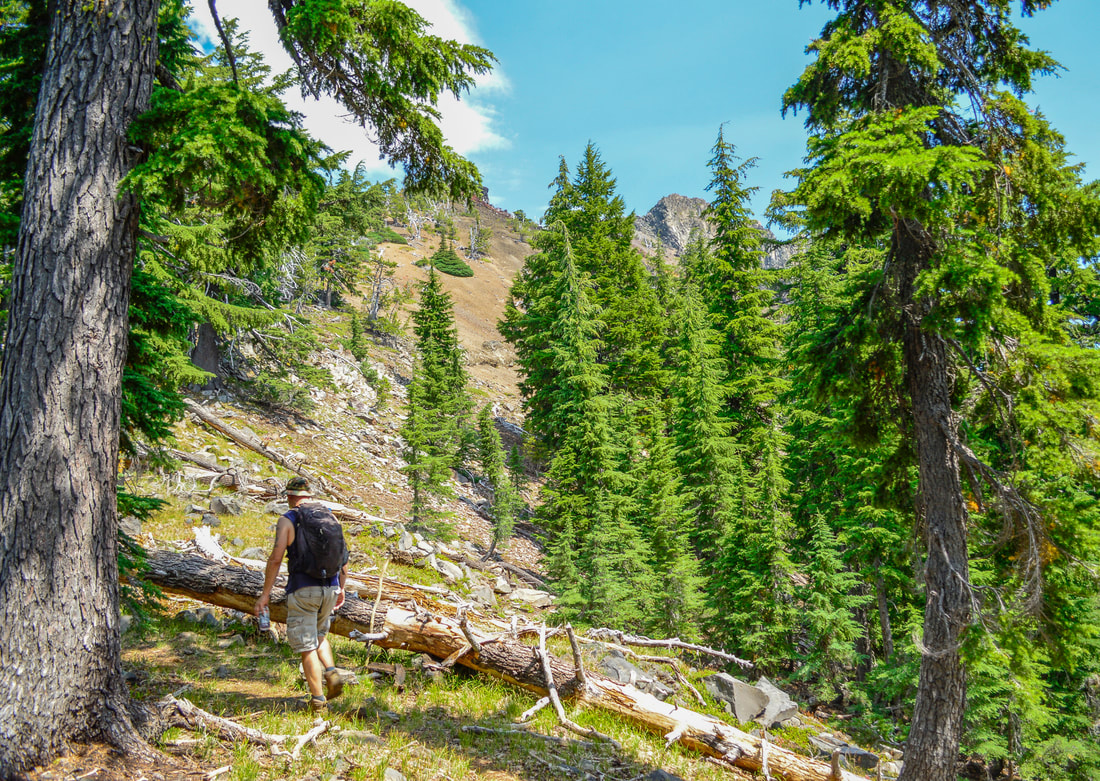
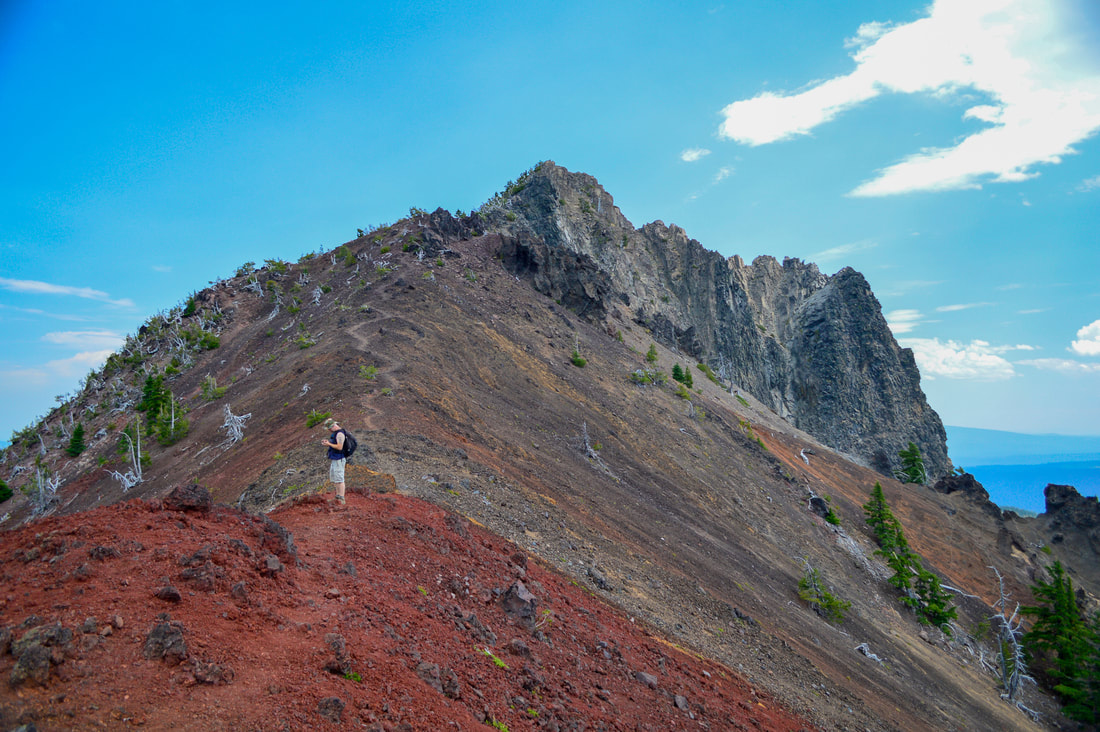
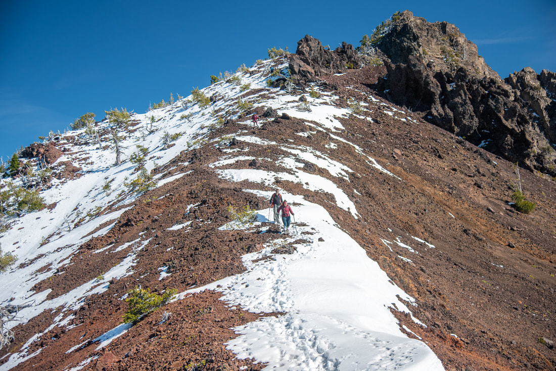
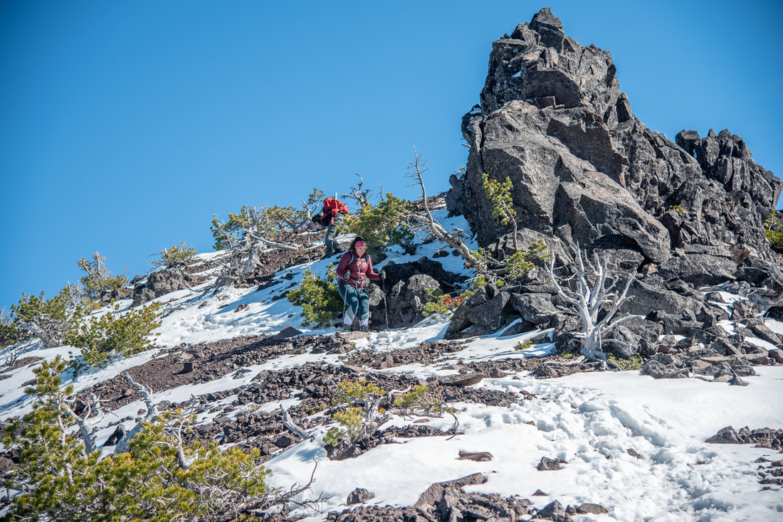
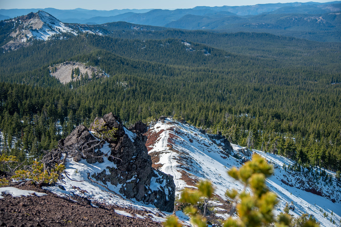
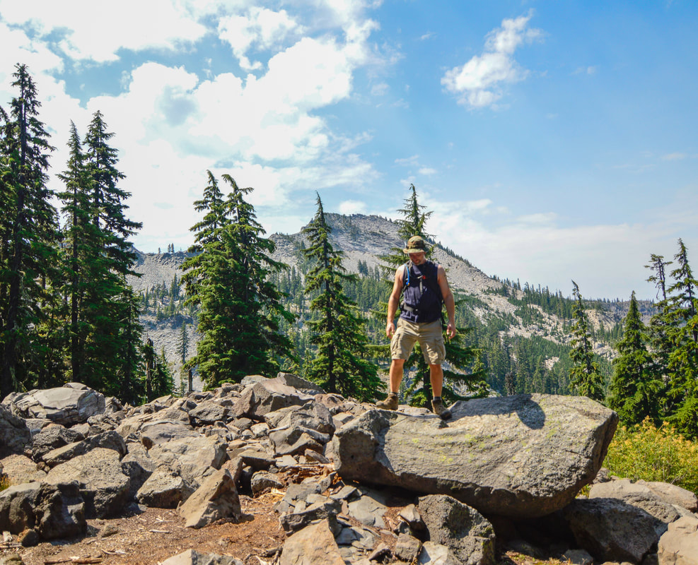
Take a right onto the iconic Pacific Crest Trail and from here you will start seeing Cowhorn Mountain in the distance. After 0.3 miles on the PCT you will see rock cairns marking the climber trail up to the Cowhorn Mountain summit. The climber trail is a non-technical climb as it meanders through mountain hemlock trees for a bit and once you get above tree line the trail goes along the ridgeline as you switchback up to right before the summit. This stretch is just half a mile long. The last 500 feet to the summit are an extremely steep. If you don't want to risk the last little bit, there are some great places to sit and take a snack or lunch break and enjoy the views from right below the steep summit climb.
|
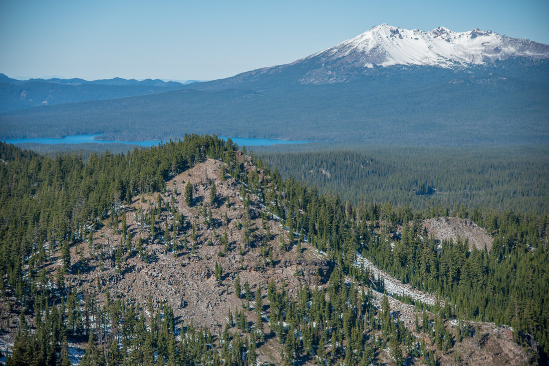
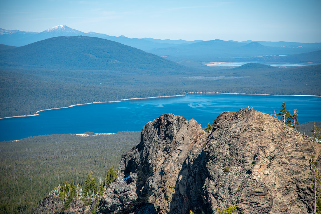
From the summit of Cowhorn Mountain you will get 360 degree views, and it is fantastic! To the north you can see Crescent Lake, Summit Lake, Diamond Peak and the Three Sisters as well as Broken Top and Mount Bachelor. Many of the small lakes that dot the area like Windy Lakes, Oldenburg Lake and Darlene and Suzanne Lakes are visible to the north as well. To the southwest you will see Sawtooth Mountain and to the south the pointy peak of Mount Thielsen is visible.
|
After enjoying the top of Cowhorn Mountain, head back down the half mile to the PCT and then back down to the traverse/connector trail to get back onto the Windy Pass Trail. If you are opting for the shorter 9.6 mile round trip hike, you will just head back the way you came. If you are wanting to hike the 11.5 mile loop, you will continue south on the Windy Lass Trail for 1.8 miles where the trail crests a ridge and you actually enter the Umpqua National Forest for just a quarter of a mile. At a trail junction just 0.2 miles from where the trail crests the ridge, turn right onto the Indigo Extension Trail #4238. This trail takes you very steeply downhill for 1.4 miles to Indigo Lake. Along the way you will have a lovely viewpoint of Sawtooth Mountain (which is another great summit hike. The information for that hike can be found in the guidebook 'Oregon's Best Views').
|
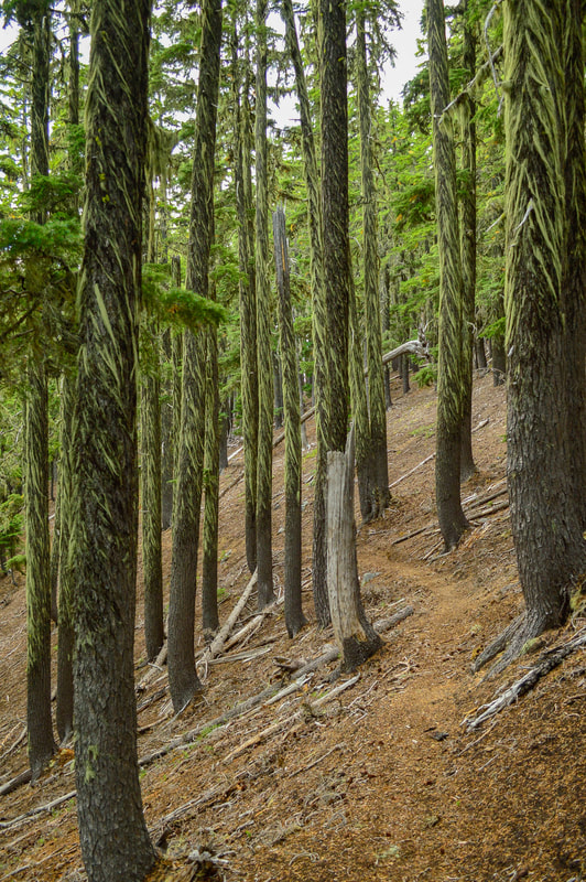
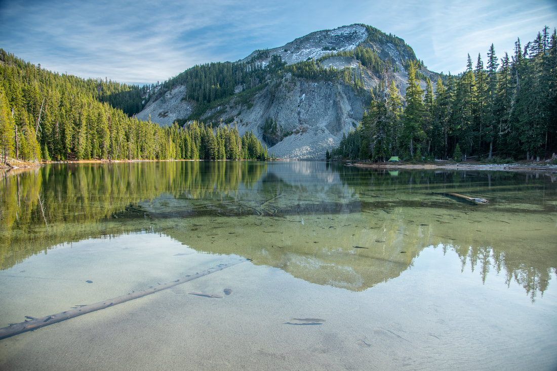
Indigo Lake has a maximum depth of 39 feet, but the shoreline is fairly shallow and sandy, which is perfect for kids to play in the water. There is a primitive campground at the lake, so if you are camping, you must camp in one of the designated spots. During early to mid-August you will find an abundance of huckleberries in this area, which makes for a nice treat, especially if you are camping, you can enjoy them in your oatmeal or pancakes in the morning. Across the lake you will see the beautiful uniquely shaped Sawtooth Mountain, oftentimes creating a stunning reflection. After checking out Indigo Lake, you will continue downhill on the Indigo Lake Trail #3649 for 1.75 miles through a thick forest of moss laden hemlock trees until you complete the loop and arrive at the day use parking area.
The Cowhorn Mountain summit is definitely very underrated and such a gem of a hike. Whether you are hiking the longer loop or opting for the summit out and back, this hike with certainly take your breath away, not only because of the elevation gain on the way up, but also because of the spectacular views. Because these trails are so multi-use, they are generally well maintained by mid-summer and most years you can hike and recreate up here until mid-November (sometimes well into December even).
Directions:
**If you use Google maps to go to Timpanogas Lake it will want to take you a shorter route via Crescent Lake and NF-398. DO NOT take this route unless you have a super high clearance vehicle. There are 8 miles on one of the roughest roads in Oregon, and even if you are in a Subaru your car might not make it out alive. Please don’t drive this road unless you have 10 or more inches of ground clearance, good tires and ideally 4WD/AWD.
From Oakridge
From Oakridge
- Drive OR-58 E for 1.8 miles, then turn right onto Hills Creek Rd/Kitson Springs Rd. for 0.5 miles. Turn right onto NF-21, cross a bridge and turn left to stay on NF-21 for 10.3 miles. Cross a bridge and pass Bingham Boat Launch and continue to the right on NF-21 for another 21 miles. Turn left onto Rigdon Rd/NF-21 for 0.5 miles, then continue straight at a corner on NF-2154 for 3.6 miles. Turn right onto NF-365 for 4.3 miles, then turn left at a sign for Timpanogas Lake and continue through the campground, past the lake and end at a round trailhead parking area. (Total of 43 miles)
- Take OR-62 E towards Crater Lake for 49.5 miles then take a slight left onto OR-230 N for 23.8 miles. Near Diamond Lake turn left onto OR-138 W for 9.4 miles, then turn right onto NF-60 for 4.5 miles. Turn left onto NF-2612 for 1.2 miles, then at a fork take a right onto NF-700 for 5.5 miles. At a Y junction stay left onto NF-770 for 2.7 miles, then turn right onto NF-2154 for 2.8 miles. Turn right at a sign for Timpanogas Lake and continue through the campground, past the lake and end at a round trailhead parking area (Total of 108 miles)
- Drive on US-97 S for a total of 46.9 miles, then turn right onto Crescent Cutoff Rd. for 12 miles. At the stop sign turn right onto OR-58 W for 35.6 miles, then turn left at a sign for Hills Creek Dam onto Kitson Springs Rd. for 0.5 miles. Turn right onto Hills Creek Road for 0.3 miles, then turn left onto NF-21 for 10.3 miles. Cross a bridge and pass Bingham Boat Launch and continue to the right on NF-21 for another 21 miles. Turn left onto Rigdon Rd/NF-21 for 0.5 miles, then continue straight at a corner on NF-2154 for 3.6 miles. Turn right onto NF-365 for 4.3 miles, then turn left at a sign for Timpanogas Lake and continue through the campground, past the lake and end at a round trailhead parking area. (Total of 138 miles)
- Total of 86 miles via Oakridge.
- Total of 148 miles via Oakridge.
- Total of 192 miles via Oakridge.
*All pictures are taken by Franziska Weinheimer
*Disclaimer: The trail descriptions, mileage, GPS tracks and difficulty ratings depicted on this website are never 100% accurate. Always hike at your own risk, using your own knowledge, equipment and common sense. Franziska Weinheimer/Hike Oregon are not responsible if you or anyone in your party gets injured or lost while attempting one of these or any other hikes.

