William L. Finley Wildlife Refuge
Mill Hill Loop
Hike details:
Mileage: 3.6 mile lollipop loop w/ 207 ft. elevation gain
Approximate hike time: 1 hour 33 minutes w/ an average pace of 2.3 mph
Difficulty: Easy
Trail usage: Medium on nice weather weekends, low traffic otherwise
Highest elevation: 463 ft. Lowest elevation: 308 ft.
General location: 15 miles south of Corvallis - William L. Finley Wildlife Refuge
Accessible: Year-round
(Best time to go is April for wildflowers and October for fall foliage).).
Permits required: N/A
Pit toilet at trailhead: No
Trail allows: NO DOGS! Dogs are not allowed at William Finley Wildlife Refuge
Possible dangers: N/A
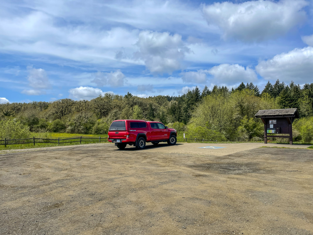
(Mill Hill trailhead parking area)
|
Description:William L. Finley National Wildlife Refuge was established in 1964 with the primary goal to provide a habitat for the Dusky Canada goose to winter. During the winter months you will see geese, swans and many other birds as well as Roosevelt elk. If your goal is to see wildflowers, visiting in the spring (April and May) is the best. There are a plethora of trails and loops in the refuge, each featuring something different like vista views, wildflower meadows or marshes.
The Mill Hill Loop is one of the longer loop hikes at William Finley Wildlife Refuge and if you want an even longer hike, you can combine it with the Woodpecker Loop by using the Intertie Trail. The trail starts out heading into the forest and quickly crossing Hull Creek. Like many of the trails at William Finley, this loop can be extremely muddy if it has been raining a lot recently. Hiking with trekking poles is |
|
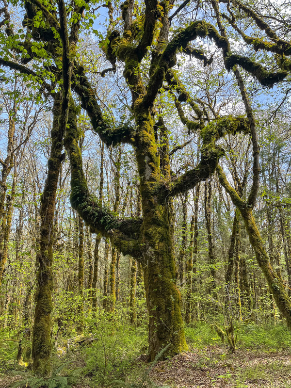
very helpful so that you don't slip and fall. After 0.1 miles you will come to a trail split where you will take a right for just a few hundred feet before hitting the Intertie Trail. If you want to add the Woodpecker Loop you would take a right here. If you are hiking just the Mill Hill Loop, take a left. After another 0.1 miles you will cross a spur road and continue on the Mill Hill Trail. After half a mile you will come to the start of the loop portion of the hike. This write-up has you hiking clockwise, so take a right at this junction. You will hike through a beautiful forest full of big trees that are covered in bright green lichen and little ferns. After another 0.4 miles you will pass an open marshy area where you can sometimes see elk. The trail continues taking you around Mill Hill, taking you through wildflower meadows that bloom in May, until you get back to the loop junction where you will take a left to take the trail that takes you back to your car.
Whether you are doing this hike in the middle of winter to get some miles under your feet, or as a spring excursion to check out the green trees and ferns and beautiful wildflowers, this hike is always a great choice and will leave you feeling refreshed from being out in nature. You can make it a longer excursion by combining it with the Woodpecker Loop or you can make your way around the refuge and check out the trails separately. |
|
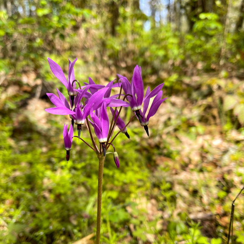
(Henderson's shooting star blooming in May)
|
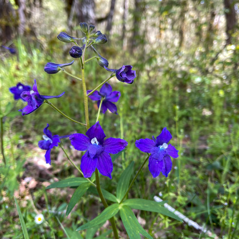
(upland larkspur blooming in May)
|
Directions:
From Corvallis
- Drive on OR-99W/Pacific Hwy. W for a total of 7.1 miles, then turn right onto Greenery Rd for 3 miles. Turn left onto Bellfountain Rd. for 3.6 miles, then turn left onto Finley Refuge Rd. for 0.6 miles and find the parking area on your right. (Total of 15 miles)
- Take 6th Ave./OR-99 N for a total of 15.2 miles. Drive through Junction City and then turn left onto OR-99 W N/Pacific Hwy. W for 11.1 miles. Turn left onto Dawson Rd. for 3.4 miles, then turn right onto Bellfountain Rd. for 3.9 miles. Turn right onto Finley Refuge Rd. for 0.6 miles and find the parking area on your right. (Total of 34.2 miles)
- Total of 54 miles via Corvallis.
- Total of 98 miles via Corvallis.
- Total of 143 miles via Corvallis.
- Total of 202 miles via Eugene.
-This trail write-up was last updated May, 2023-
*All pictures are taken by Franziska Weinheimer
*All pictures are taken by Franziska Weinheimer
*Disclaimer: The trail descriptions, mileage, GPS tracks and difficulty ratings depicted on this website are never 100% accurate. Always hike at your own risk, using your own knowledge, equipment and common sense. Franziska Weinheimer/Hike Oregon are not responsible if you or anyone in your party gets injured or lost while attempting one of these or any other hikes.