Beaver Creek Falls
Hike details:
Mileage: 1.5 miles round trip w/ 107 ft. elevation gain
Approximate hike time: 39 minutes w/ an average pace of 2.3 mph
Difficulty: Easy
Trail usage: Low
Highest elevation: 650 ft. Lowest elevation: 468 ft.
General location: 11.5 miles south of Mapleton - Siuslaw National Forest
Accessible: Year-round
(Best time to go is March through mid-June for best waterfall flow).
Permits required: N/A
Pit toilet at trailhead: No but there is one nearby at the Homestead trailhead just down the road.
Trail allows: Dogs
Possible dangers: N/A
Description:This valley nestled deep in the coast range was settled by the Zarah T. Sweets, a family of early Oregon Trail pioneers in 1879. Parts of the old wagon road have even been incorporated into the Sweet Creek Trail network, so this area is full of history!
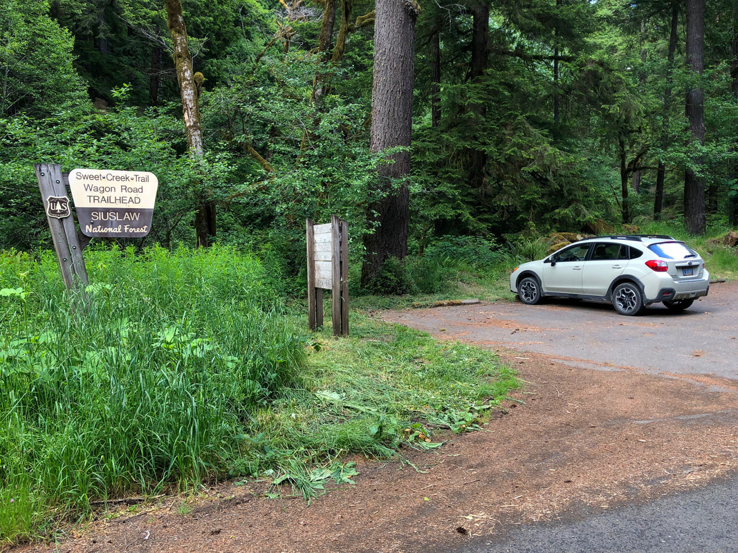
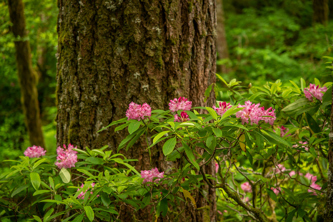
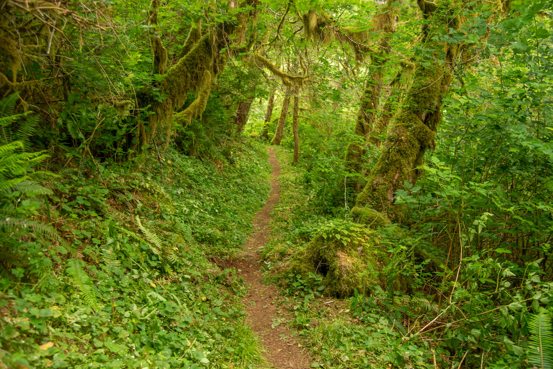
The Beaver Creel Falls Trail begins at the Sweet Creek Trail/Wagon Road Trailhead. The trail enters an incredibly lush forest full of Douglas fir and cedar trees all covered in moss. There are large rhododendron bushes lining the trail that bloom in late May/early June. |
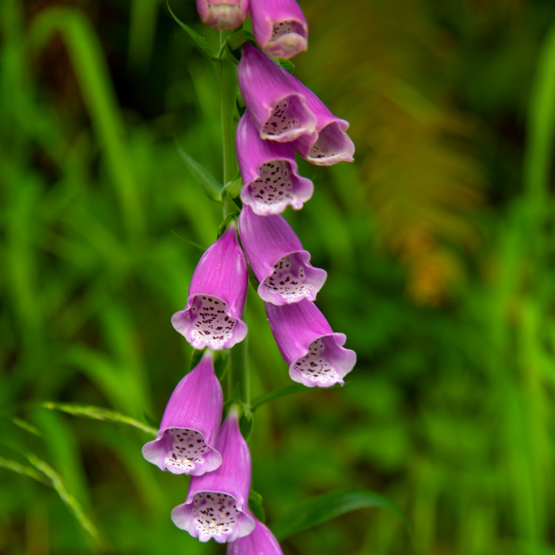
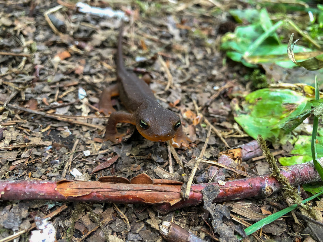
The trail ambles through this beautiful green tunnel and along the way you will see many different kinds of ferns like large sword ferns and dainty maidenhair ferns. In early June you will also see yellow monkey flower and pink foxglove blooming. Watch your step because there are also an abundance of brown colored salamanders that like to cross the trail. They blend in easily with the dirt on the trail, so they are easy to overlook.
|
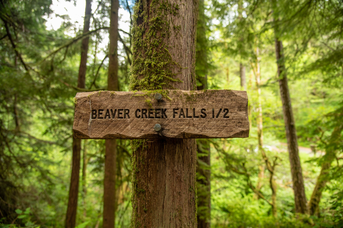
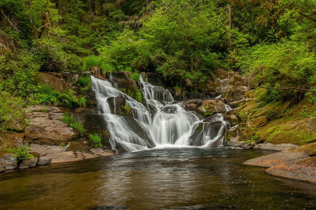
After walking 0.75 miles you will arrive at Beaver Creek Falls which cascades down 48 feet in a staircase fashion into a beautiful pool. The trail ends here and you can sit on the surrounding rocks and enjoy the sound of the waterfall.
This trail is very peaceful and quiet and perfect for the whole family. It is very easy and great for all ages and levels of hikers from toddlers to grandparents. The greenery is quintessential Oregon and everyone will love this little underrated trail. |
Directions:
From Eugene
- Drive on OR-126 west towards Florence for 42.3 miles. Right before crossing the bridge in Mapleton, turn left onto Sweet Creek Rd. for 12.5 miles to the trailhead on your left. (Total of 59 miles)
- Drive on I-5 south towards Eugene for a total of 59 miles. Take exit 216 towards Halsey/Brownsville and turn right onto OR-228 west. Turn left onto Falk Rd. for 2 miles and then turn right onto Lake Creek Rd. for 1.5 miles. Then turn left onto OR-99E south towards Harrisburg and Junction City. Continue on OR-99 south through Junction City then turn right onto OR-36 west for 12.6 miles. Turn right onto OR-126 west for 26.2 miles. Right before crossing the bridge in Mapleton, turn left onto Sweet Creek Rd. for 12.5 miles to the trailhead on your left. (Total of 115 miles)
- It is a total of 191 miles via Eugene.
- It is a total of 170 miles via Eugene.
-This trail write-up was last updated January, 2023-
*All pictures are taken by Franziska Weinheimer
*All pictures are taken by Franziska Weinheimer
*Disclaimer: The trail descriptions, mileage, GPS tracks and difficulty ratings depicted on this website are never 100% accurate. Always hike at your own risk, using your own knowledge, equipment and common sense. Franziska Weinheimer/Hike Oregon are not responsible if you or anyone in your party gets injured or lost while attempting one of these or any other hikes.

