Anthony Lake Loop
Hike details:
Mileage: 8.8 mile loop w/ 1,580 ft. elevation gain (10 miles total when you add on the Lakes Lookout side trip)
Approximate hike time: 3 hours 50 minutes w/ an average pace of 2.3 mph
Difficulty: Moderate
Trail usage: Medium on summer weekends, low on summer weekdays and low on fall weekends
Highest elevation: 8,200 ft. Lowest elevation: 7,136 ft.
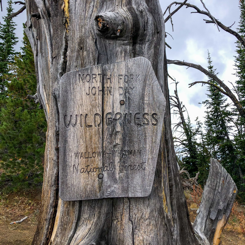
General location: 35 miles northwest of Baker City - North Fork John Day Wilderness - Wallowa Whitman National Forest
Accessible: July through October
(Best time to go is September when the temperatures are a bit cooler, there are no bugs and you'll likely have the whole loop to yourself).
Permits required: Annual Northwest Forest Pass for parking
Pit toilet at trailhead: Yes
Trail allows: Dogs, camping, (mountain bikes on the Elkhorn Crest portion)
Possible dangers: steep drop offs in spots along the trail
Approximate hike time: 3 hours 50 minutes w/ an average pace of 2.3 mph
Difficulty: Moderate
Trail usage: Medium on summer weekends, low on summer weekdays and low on fall weekends
Highest elevation: 8,200 ft. Lowest elevation: 7,136 ft.
General location: 35 miles northwest of Baker City - North Fork John Day Wilderness - Wallowa Whitman National Forest
Accessible: July through October
(Best time to go is September when the temperatures are a bit cooler, there are no bugs and you'll likely have the whole loop to yourself).
Permits required: Annual Northwest Forest Pass for parking
Pit toilet at trailhead: Yes
Trail allows: Dogs, camping, (mountain bikes on the Elkhorn Crest portion)
Possible dangers: steep drop offs in spots along the trail
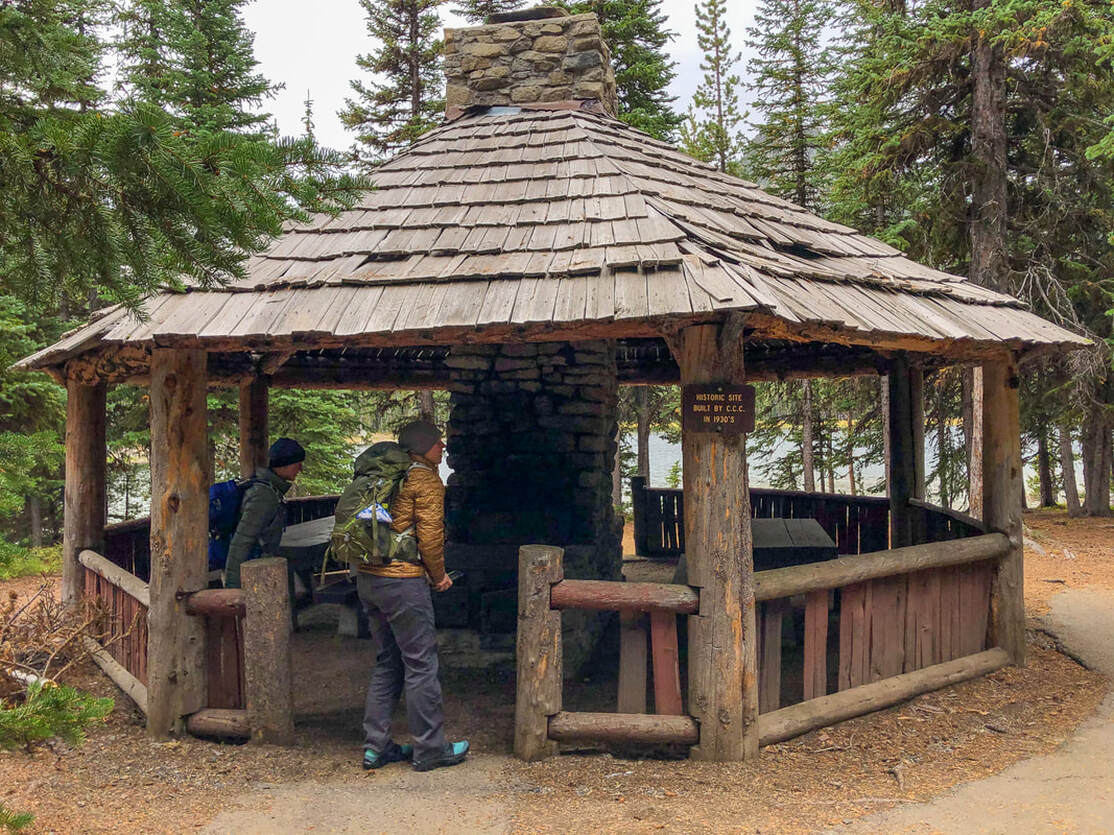
(Anthony Lake day use gazebo - built in the 1930's)
|
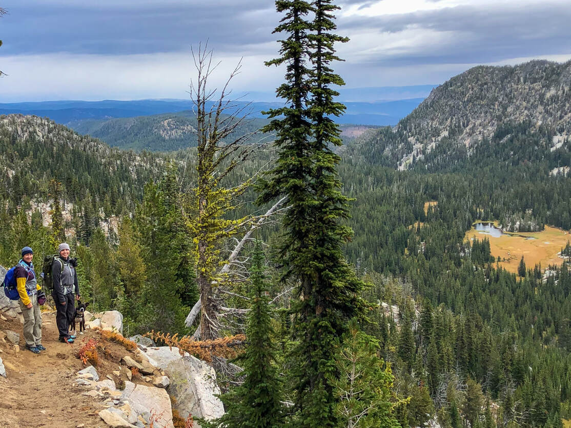
Description:The Anthony Lake Loop is a spectacular moderate hike that takes you deep into the Elkhorn Mountain Range, over two stunning passes, and lets you get amazing views of peaks, valleys and alpine lakes.
If you are backpacking you will want to start the loop at the Elkhorn Crest Trailhead because that parking lot is bigger and allows for overnight parking. If you are doing this loop as a day hike, park in the Anthony Lake Day Use area. For both parking lots you will need a Northwest Forest Pass. You can use your annual pass or you can purchase a day use pass at the parking area from one of the many rangers that are checking your parking pass. |
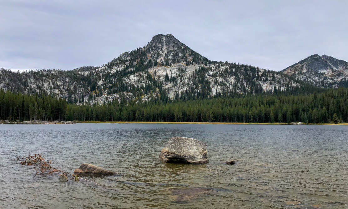
(Anthony Lake & Gunsight Mountain)
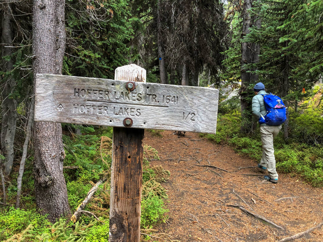
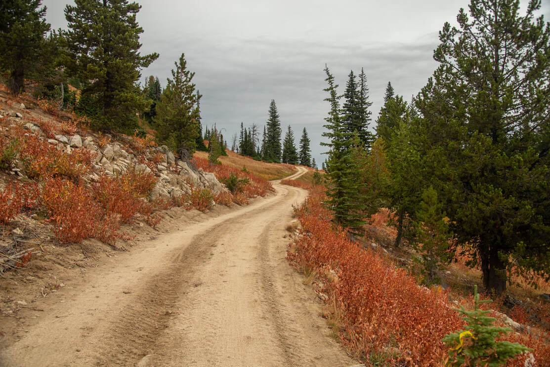
The day use area is very large and set up with picnic tables right at the lake. This little lake gets insanely busy during the hot summer months, usually mid-July through early September. In mid-September the weather does start to get colder up at this elevation (over 7,000 ft.), so you will likely only find a few people fishing and very minimal hikers during the fall. The first 0.45 miles take you halfway around Anthony Lake before coming to a trail split. You will take the trail to the right up to Hoffer Lakes. This trail follows Parker Creek the 0.6 miles up to Hoffer Lakes.
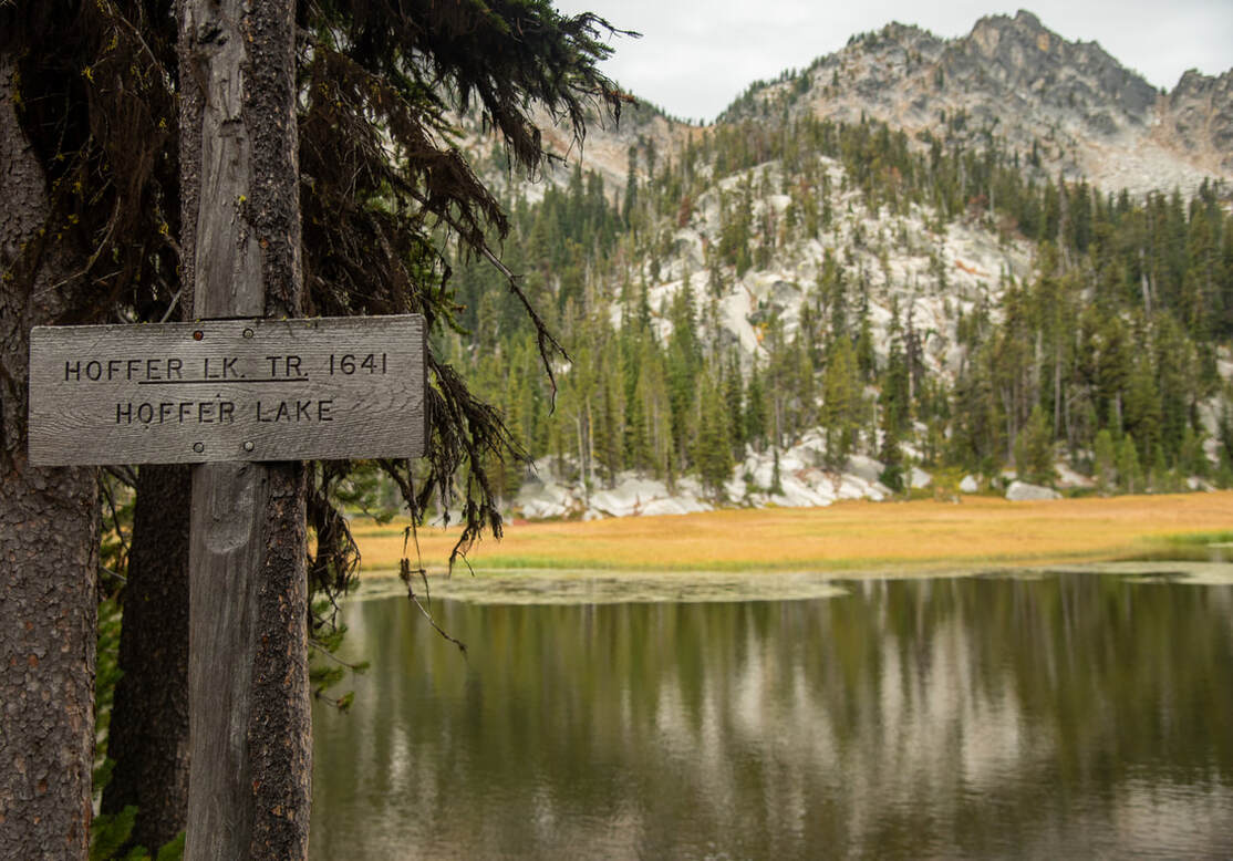
(Hoffer Lake and Lees Peak)
(Angell Peak 8,646 ft. & Lees Peak 8,626 ft.)
|
After checking out Hoffer Lakes you will hike another 0.4 miles before coming to a dirt road. You will take a left and walk along this road for a total of 0.8 miles before coming to an open area where you will see a few trail options. (At the beginning of the road walk, don't forget to look behind you to see the amazing granite peaks of Angell and Lees Peak).
|
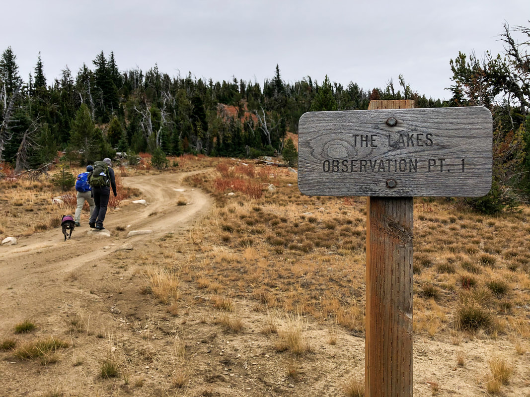
At this intersection you can choose to add on another 1.2 miles to the already 8.8 mile loop hike, by heading to the left up to The Lakes Lookout. This short side excursion also adds about 600 feet of elevation gain, and is not for the faint of heart and those afraid of heights. There used to be a fire lookout up there standing at 8,451 ft. (*Adding this onto the loop would push this hike into the 'difficult' category).
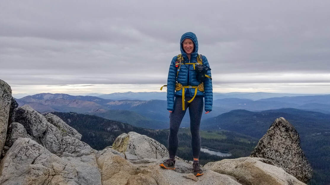
(Franziska - author of Hike Oregon on top of The Lakes Lookout)
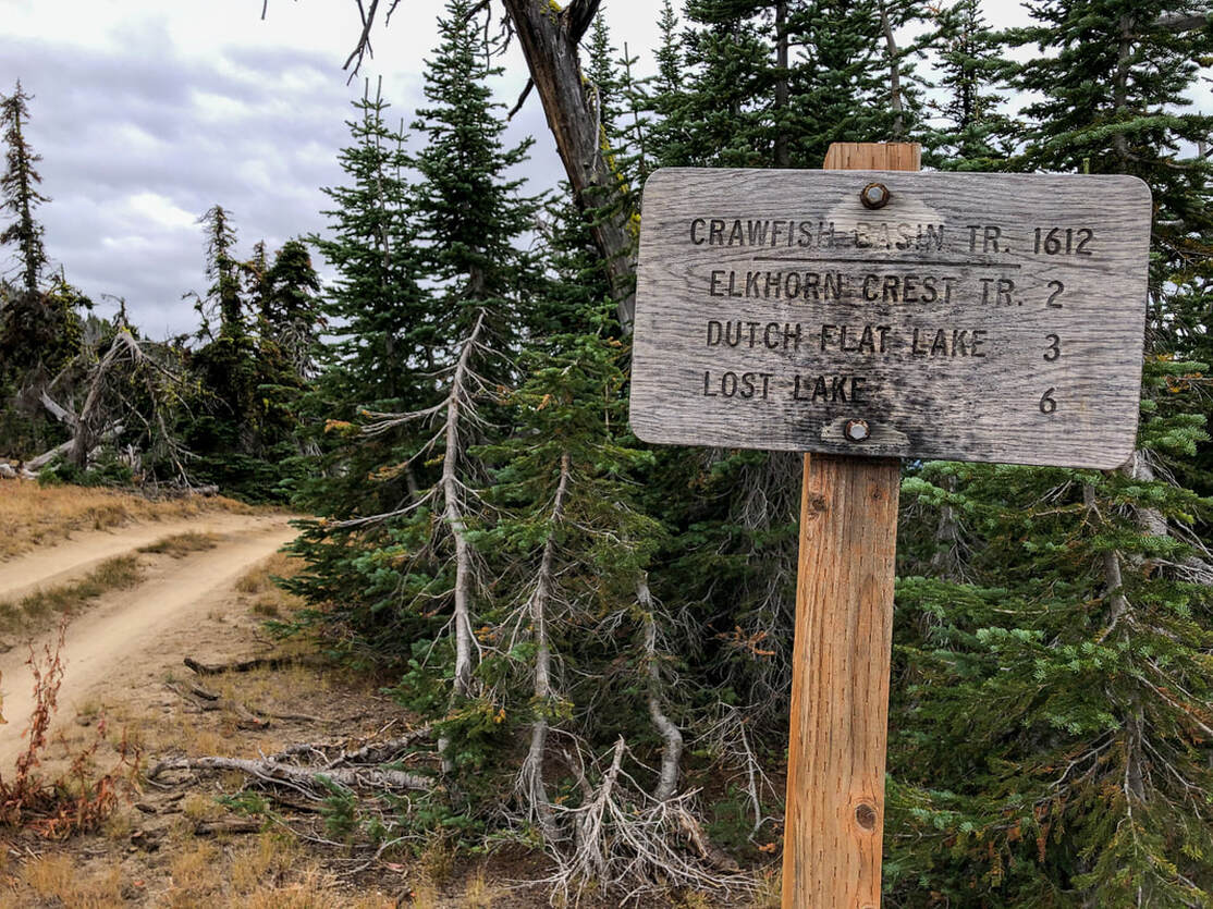
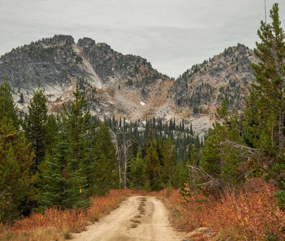
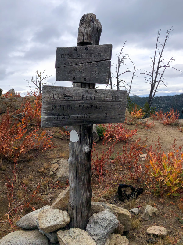
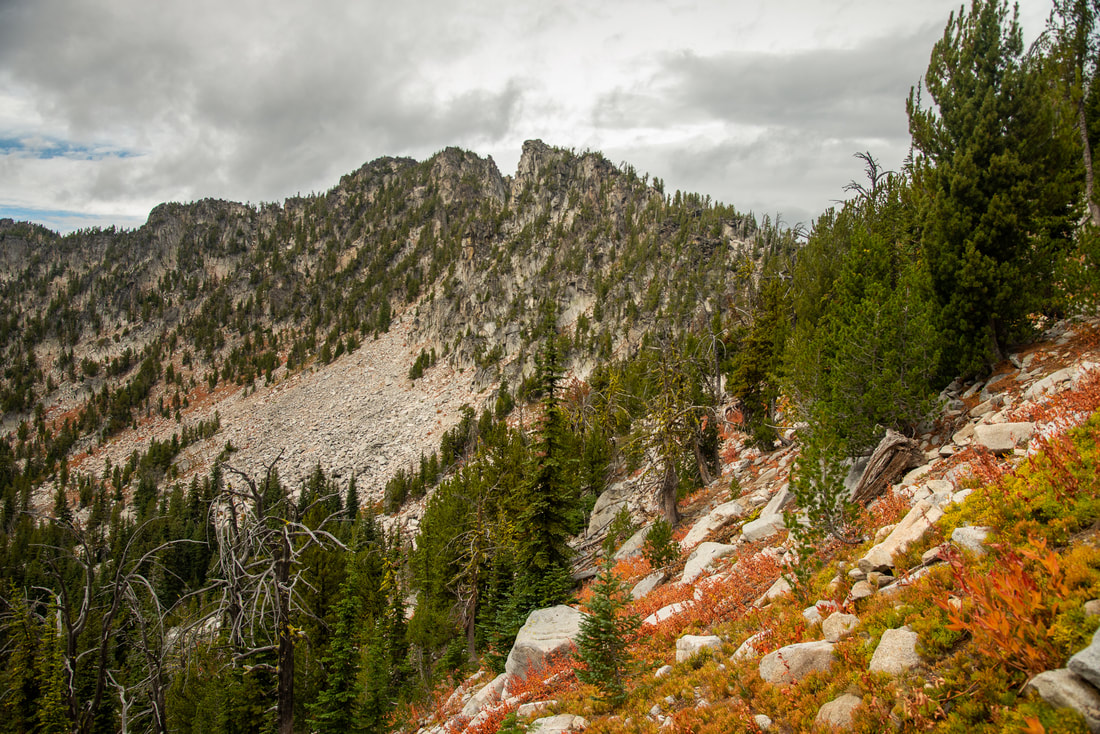
If you want to continue on the loop, you will take the Crawfish Basin Trail straight ahead for a total of 2.8 miles. The trail will take you around the southside of the peaks as you meander through sparse forest, right at tree line. On the last little bit of this stretch, you will encounter 7 switchbacks, as you gain 230 feet of elevation up to Dutch Flat Saddle.
|
From the saddle you can see down to Dutch Flat Lake as well as Van Patten Butte beyond. Dutch Flat Lake is a great camp spot for the night if you are backpacking.
|
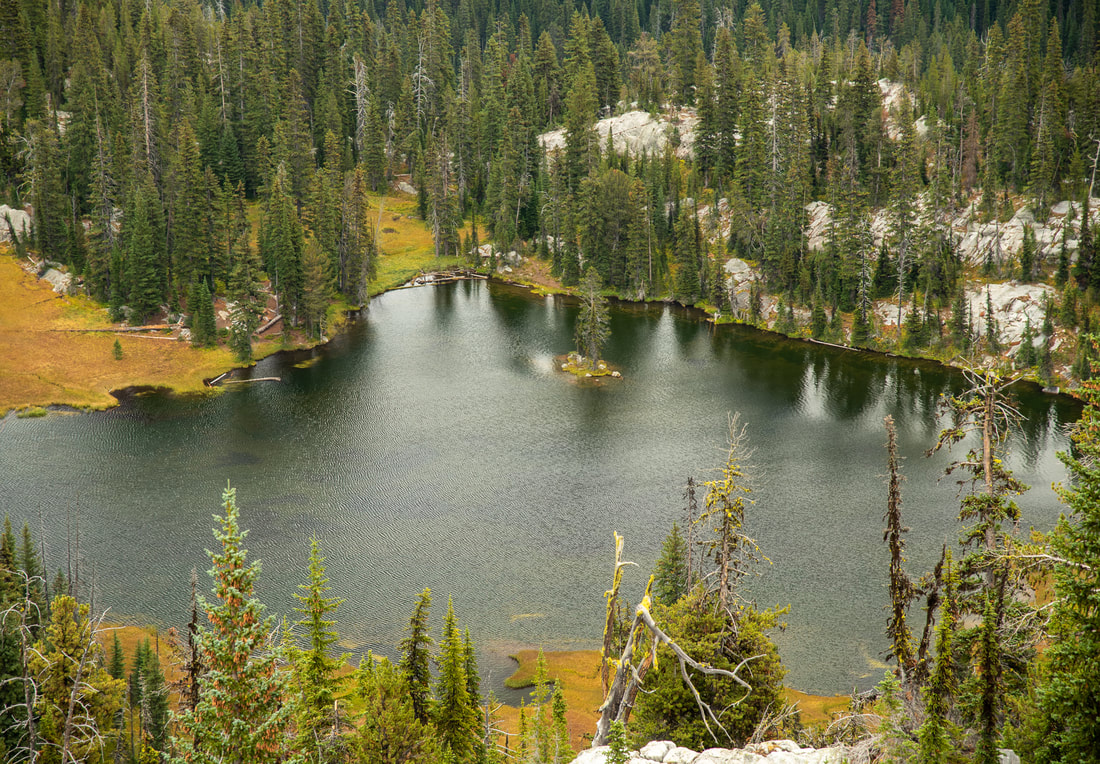
(Dutch Flat Lake)
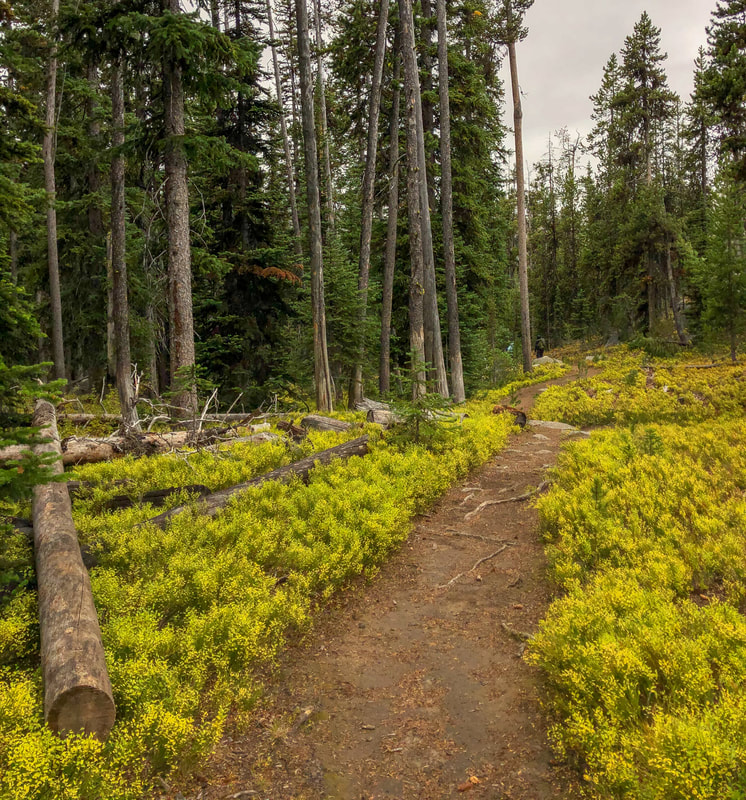
(great example of the trail tread)
If you are not backpacking, continue the loop via the Elkhorn Crest Trail to the left for another 0.7 miles to Angell Pass. This is one of the most gorgeous sections of the entire trail, as you look down at springs and meadows and Angell Peak right in front of you. The trail does have a drop off, but it is fairly wide and very well graded and maintained.
(Angell Peak from the approach to Angell Pass)
|
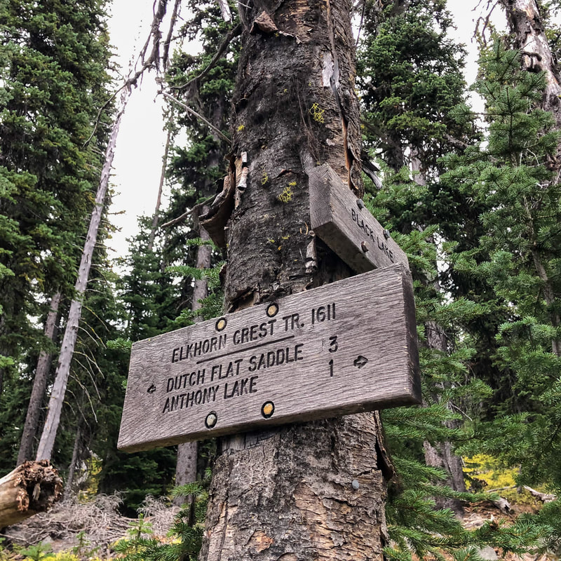
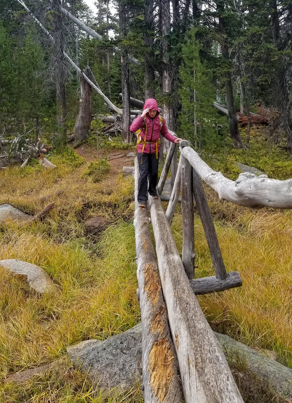
After cresting over Angell Pass, the Elkhorn Crest Trail takes you steeply downhill as you lose 960 feet of elevation in 2.2 miles. You will see a trail split over to Black Lake. If you have the time, daylight and energy, this lake is worth checking out (it's about 1 mile to the lake). If you were backpacking, you will follow signs to the Elkhorn Crest Trailhead, if you were day hiking, ignore these signs and continue on the Black Lake Trail #1600 following signs back to Anthony Lake. In the last 0.8 miles of the hike you will cross various creeks and marshy meadows as you pass by Lilypad Lake. When you see Anthony Lake again, continue around it's shoreline to the right to get back to the gazebo and day use area that you parked at.
The Anthony Lake Loop is the most spectacular loop hikes in the Elkhorn Mountain Range! Because it is rated moderate it is accessible to most hikers. It is rated 'moderate' only because of the mileage and because there are some spots of the trail that have a bit of exposure, but the trail is fairly wide and well maintained with minimal loose rocks. Whether you're backpacking or day hiking this loop, it is absolutely amazing and will take your breath away and make you think that you are not in Oregon! |
|
(Black Lake Trail in late September)
|
Directions:
From Baker City
- Drive north on Main St. until you come to Campbell St. Turn right onto Campbell St. for 1 mile, then turn left to merge onto I-84 W toward Interpretive CTR/Richland/Hells Canyon/La Grande/Airport for 18.3 miles. Take exit 285 for OR-237 toward N Powder Union, the turn left onto OR-237 S/2nd St. Continue straight onto River Ln. for 3.9 miles, then turn left onto Ellis Rd. for 0.7 miles. Turn right onto Anthony Lakes Hwy. for 8.2 miles, then this road turns into NFD 73. Continue on for another 7.2 miles, then turn left onto NF-300-170 and follow signs for the day use area and find the parking on your left across from the Anthony Lake Guard Station. (Total of 40.5 miles)
- Drive on I-84 E/US-30 E for a total of 282 miles. Take exit 285 for US-30/OR-237 toward North Powder/Haines then turn right onto OR-237 S/US-30 E/2nd St. and continue straight onto River Ln. for 3.9 miles. Turn left onto Ellis Rd. for 0.7 miles, then turn right onto Anthony Lakes Hwy. for 8.2 miles, then this road turns into NFD 73. Continue on for another 7.2 miles, then turn left onto NF-300-170 and follow signs for the day use area and find the parking on your left across from the Anthony Lake Guard Station. (Total of 307 miles)
- Drive on US-20 E/NE Hwy 20 for 2.3 miles, then turn left onto Powell Butte Rd. for 0.9 miles. At the traffic circle, take the 2nd exit and stay on Powell Butte Rd. for a total of 17.1 miles. Turn right onto OR-126 E for 9 miles, then at the traffic circle, take the 2nd exit and stay on OR-126 E for another 2.3 miles. Merge onto US-26 E/NW 3rd St. and stay on this road for a total of 145 miles. At a sign for the town of Sumpter turn left onto OR-7 N and continue on for 25.2 miles. Turn left onto OR-410 W for 3.6 miles, then continue straight onto Granite Hill Rd. for another 6.5 miles. Continue onto Bull Run to Baker Rd 24 for 1.7 miles, then continue onto Bull Run to Baker Road 24 Rd. for 4.6 miles. Continue onto Granite Hill Rd. for 1.6 miles, then continue onto Bull Run to Baker Road 24 Rd. for 0.4 miles. Continue onto Granite Hill Rd. for 0.8 miles, then continue straight on S West St. for 0.2, then at a Y junction continue onto NFD 73 for 8.6 miles, then turn right to stay on NFD 73 for 16.3 miles. Turn right onto NF-300-170 and follow signs for the day use area and find the parking on your left across from the Anthony Lake Guard Station. (Total of 249 miles. If you don't want to drive on all of these back roads, you can go via Baker City which is a total of 271 miles).
- Total of 349 miles via Portland.
- Total of 413 miles via Portland OR 358 via Bend but it takes almost an hour longer.
- Total of 421 miles via Bend.
-This trail write-up was last updated June, 2022-
*All pictures unless otherwise marked are taken by Franziska Weinheimer
*All pictures unless otherwise marked are taken by Franziska Weinheimer
*Disclaimer: The trail descriptions, mileage, GPS tracks and difficulty ratings depicted on this website are never 100% accurate. Always hike at your own risk, using your own knowledge, equipment and common sense. Franziska Weinheimer/Hike Oregon are not responsible if you or anyone in your party gets injured or lost while attempting one of these or any other hikes.