Rae Lakes Loop
& our time in the Sierra
AUGUST 13, 2020 -
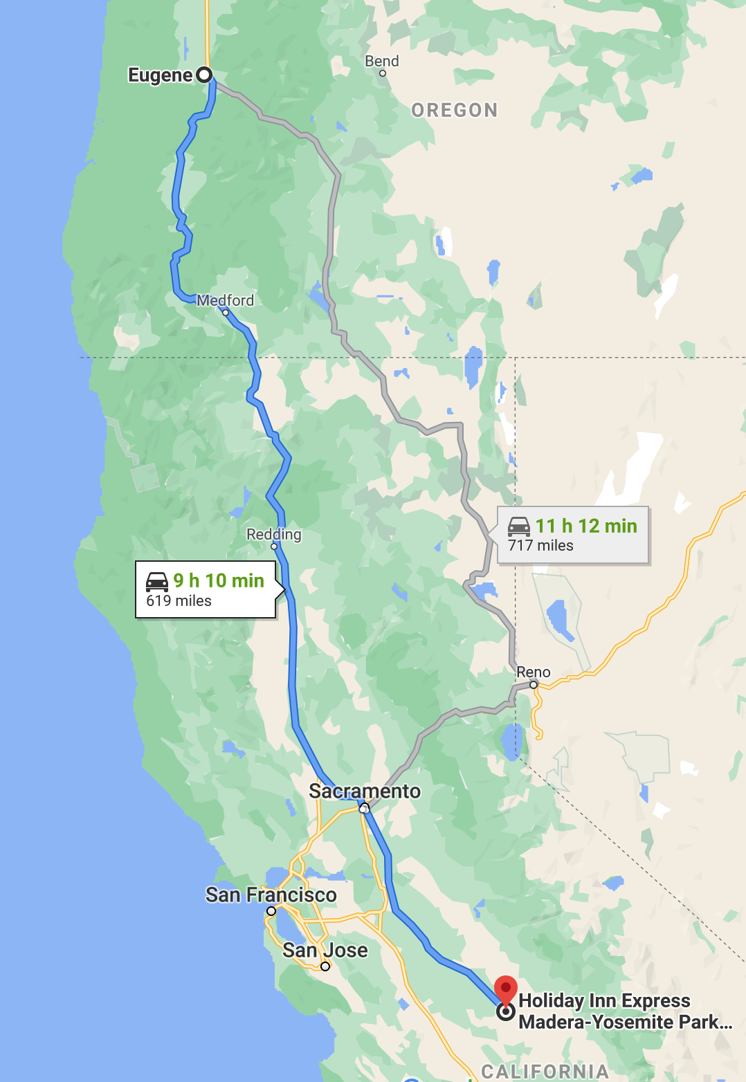
Eugene, OR to Madera, CA
619 MILES driven
|
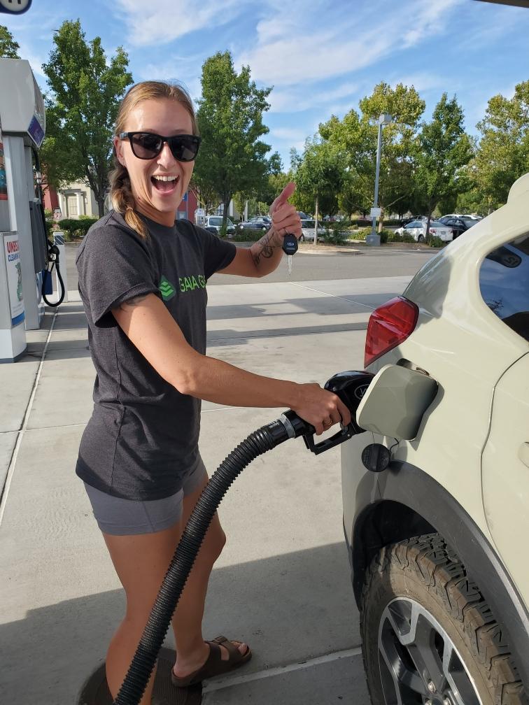
My friend Holly met me at my house in Eugene, Oregon at 8am and we started our long drive down to Central California. The only time I have ever been that far south was when I was 16 years old and I went backpacking in Yosemite with my dad. So this was definitely something new for me, especially driving the big 6-lane highways near Sacramento and pumping my own gas. The first time was a little bit intimidating, but by the end of the trip I became a gas pumping pro!
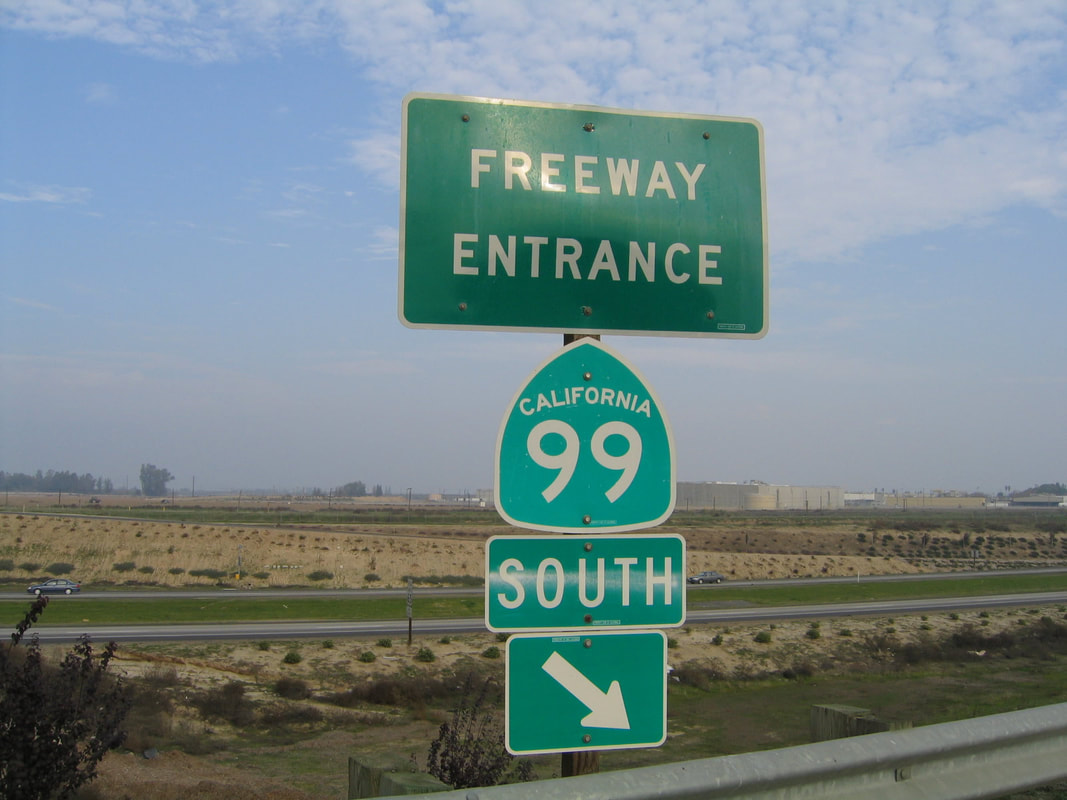
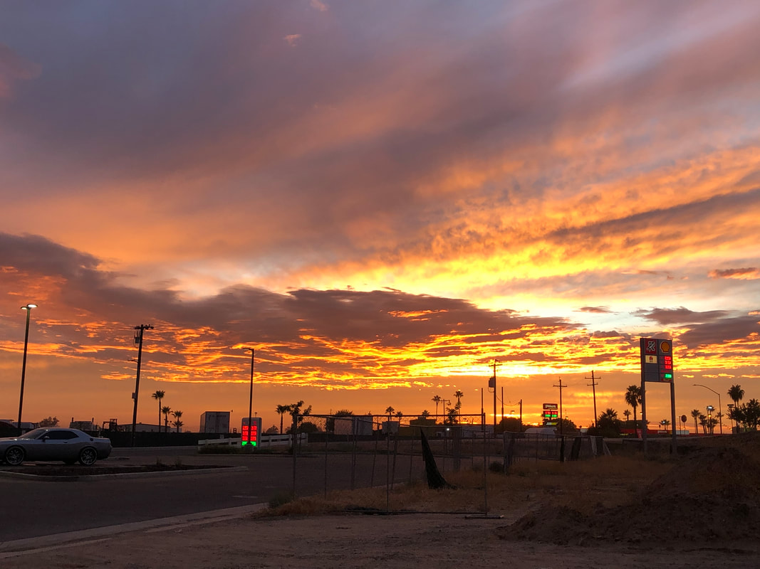
We stopped to eat lunch at a rest stop near the town of Weed, CA with beautiful views of Mt. Shasta. Northern California was beautiful to drive through, however the further south we got the uglier and more mundane the scenery became. Once we got onto CA-99 we drove through the towns of Stockton, Modesto and Merced, and finally ate dinner at a Taco Bell near Berenda. We watched the most beautiful sunset while we were eating our Crunch Wrap Supremes. |
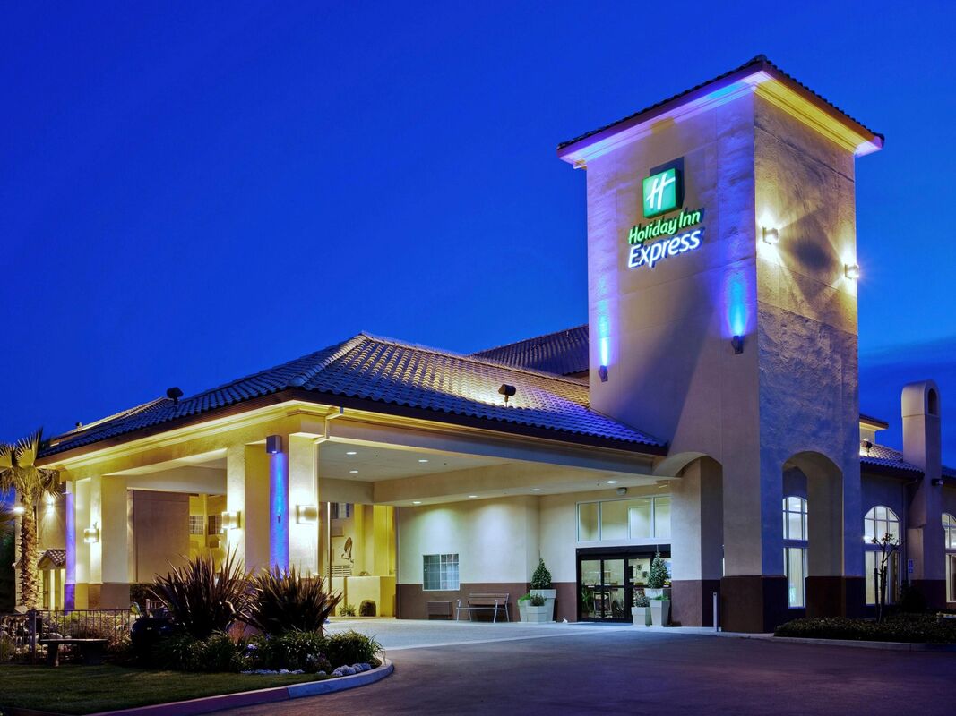
After dinner we drove another 15 minutes and decided to stop at the Holiday Day Inn Express in Madera. Since I worked in the hotel industry for over 7 years, I was drawn to this hotel because it was brand new and already had thousands of great reviews! It was a lovely hotel, very clean (which is important during the times of Coronavirus) and very comfortable, however it was far from sound-proof! We heard our next door neighbors and the people below us all night long. But the beds were super comfy and I slept pretty well.
AUGUST 14, 2020 -
Road's end Trailhead to Sphynx Creek
114 MILES driven
4.7 MILES hiked w/ 1,230 ft. elevation gain
|
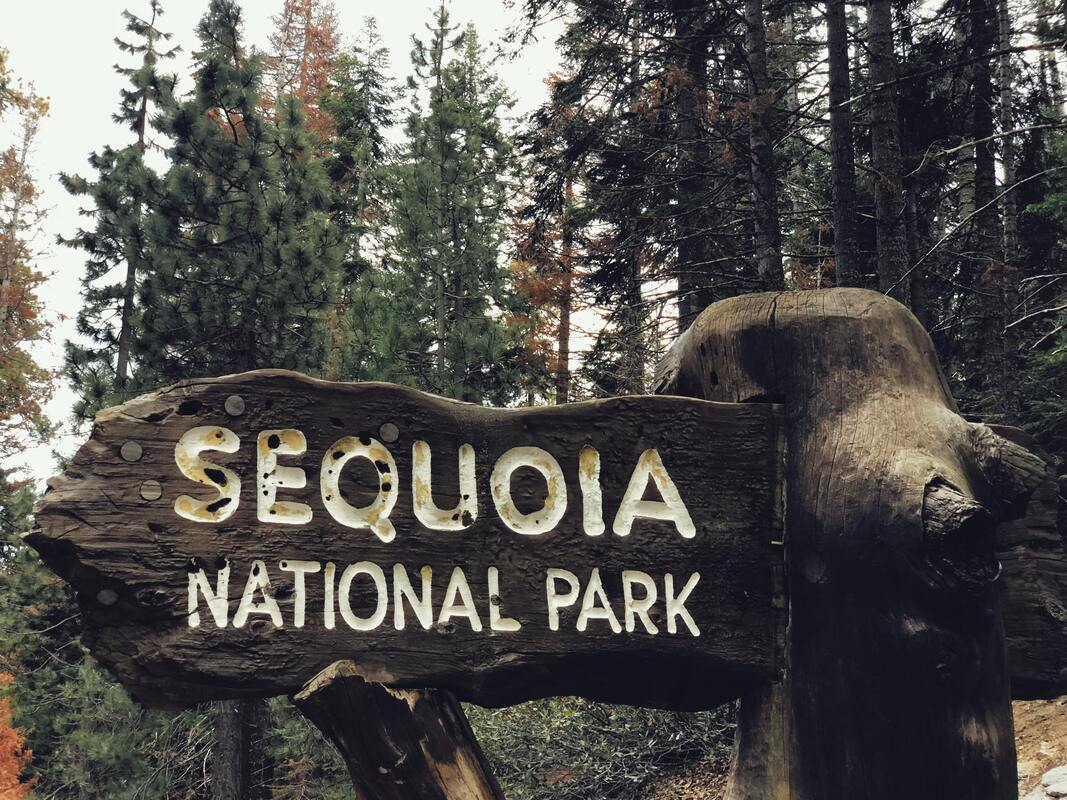
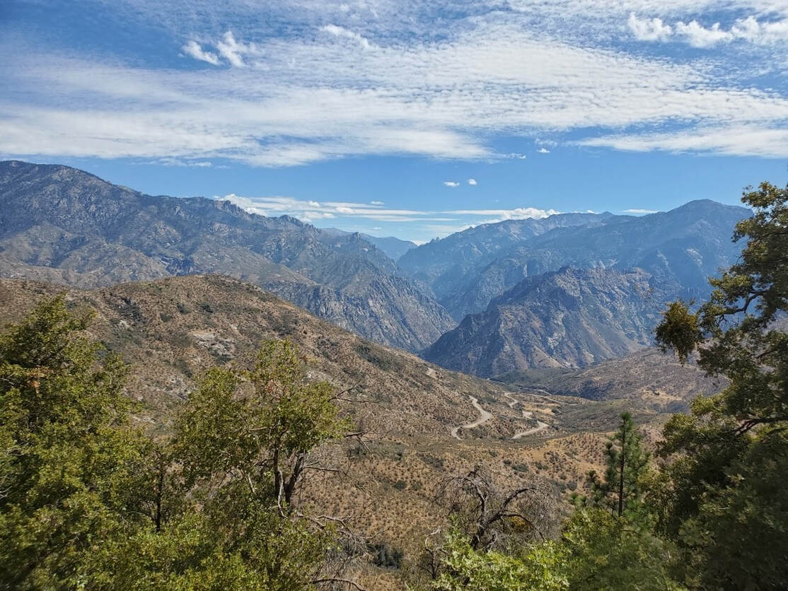
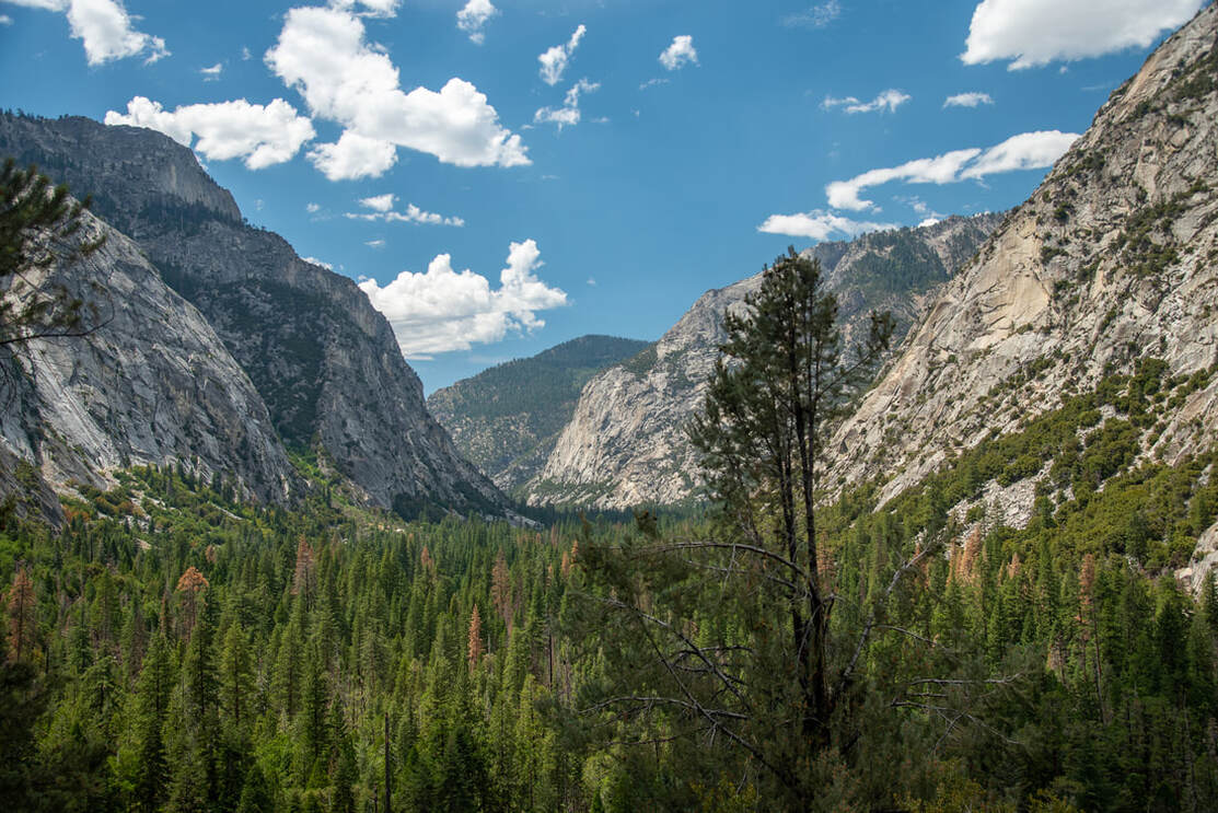
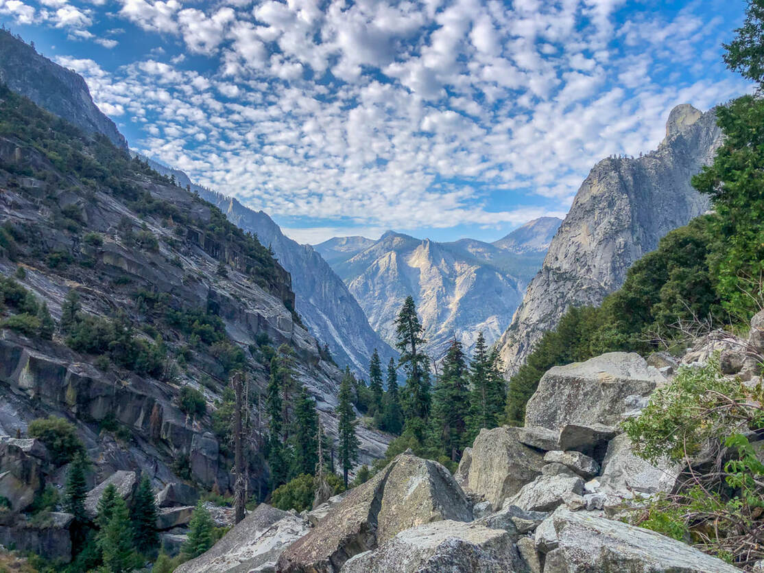
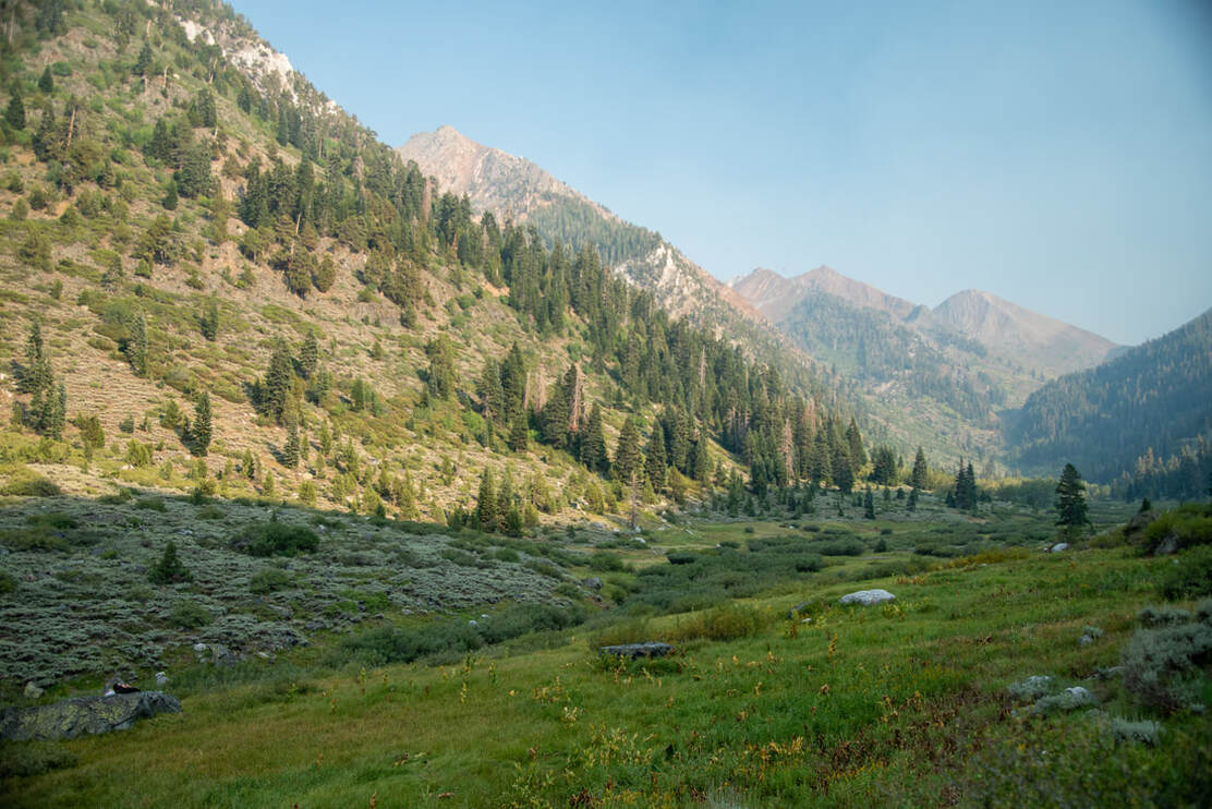
We got up early, made our way to Starbucks to grab coffee and breakfast and then we were on our way. We passed through Fresno and then headed East on CA-180. Within 20 minutes of Fresno, we started seeing beautiful rolling hills and the landscape completely changed. We entered Sequoia National Park and drove through some very large Sequoia trees before the road crested the hills and became windy as we headed down into the South Fork Kings River canyon.
|
Once we got to the trailhead called Road's End (because it literally is the end of the road), we went through the car and made sure there was nothing smelly that could potentially attracts bears left in the car. This includes chapstick, gum, hand sanitizer, etc. You are allowed to leave these things in the bear lockers that are at the trailhead. Make sure you have your bag, cooler, or bucket labeled with your name and what date you will be picking it up or the rangers might throw it away.
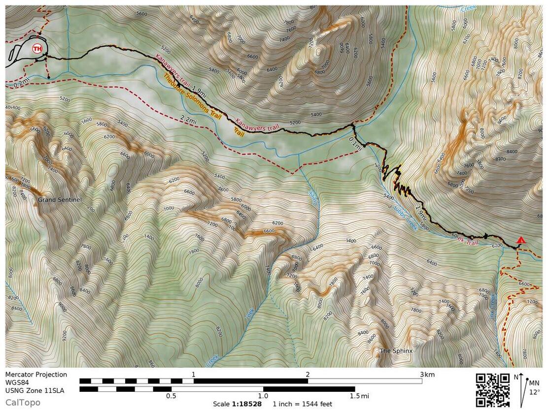
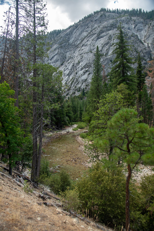
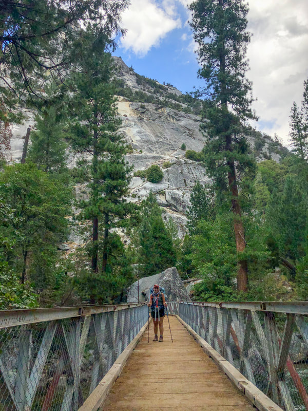
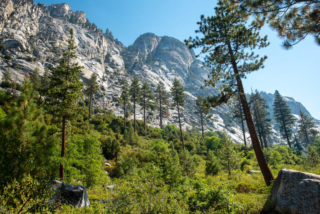
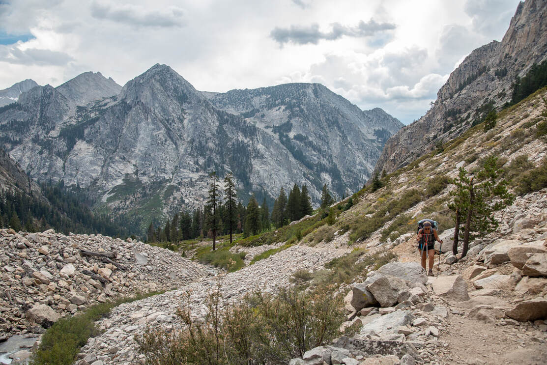
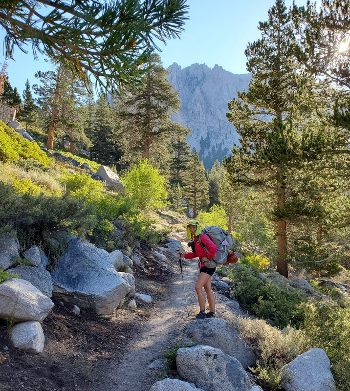
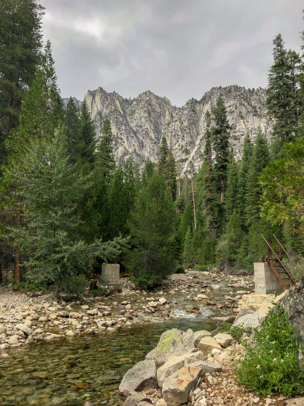
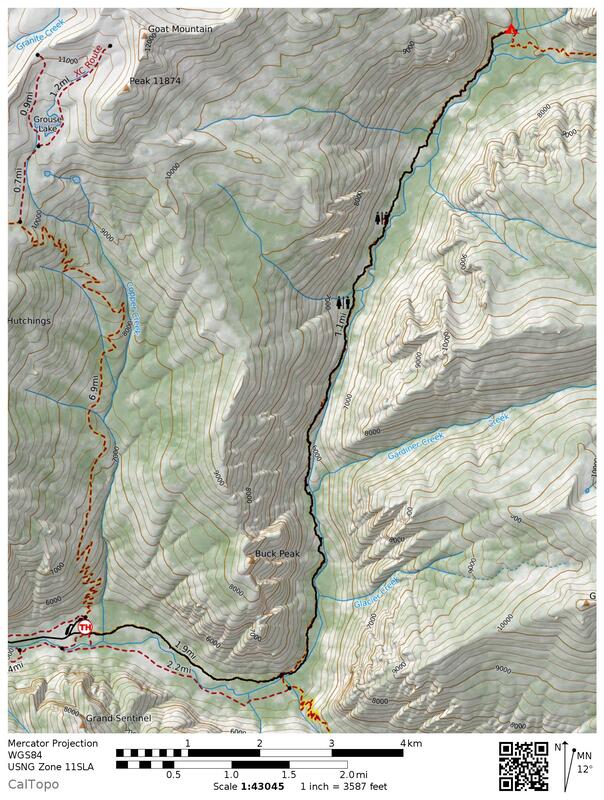
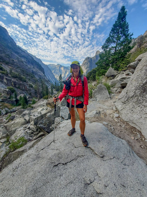
We had lunch at the trailhead before starting our 6 day Rae Lakes Loop adventure. The first 2.2 miles were along the river which is flanked by huge granite hillsides. After coming to the trail sign that would eventually be the completion of our loop and crossing the South Fork Kings River on a bridge, the serious climbing started. We started our hike at 1:30pm, so the temperatures were hot and made for a tough 2.5 mile climb. But during the climb is when the amazing views started.
There were a total of 18 grueling switchbacks until the trail evened out a bit and we got to our lovely campsite at Sphynx Creek junction. This is the first campsite on this side of the loop, you are not allowed to camp any lower along the trail than this. Camping at established sites like this means that there is usually a bear locker which helps keep you and the bears safe.
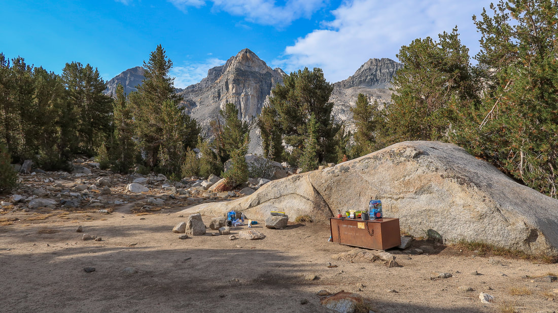
We set up camp and then waited out a very brief and weak thunder storm that only produced two thunder claps and a few drops of rain. Further into the evening we were joined by two other hikers. They were very experienced hiking in the Sierra and we greedily ate up all of the advice that they had for us. While we were all sitting around the bear locker having dinner, we were greeted by two black bear cubs across the campsite. They were very curious and peered at us over a big rock. We never saw mama bear, but we knew she was close by. We vigilantly cleaned up and put all of our food and smellable items away in the bear locker for the night.
AUGUST 15, 2020 -
Sphynx Creek to Lower Vidette Meadow
9.7 MILES w/ 3,327 ft. elevation gain
|
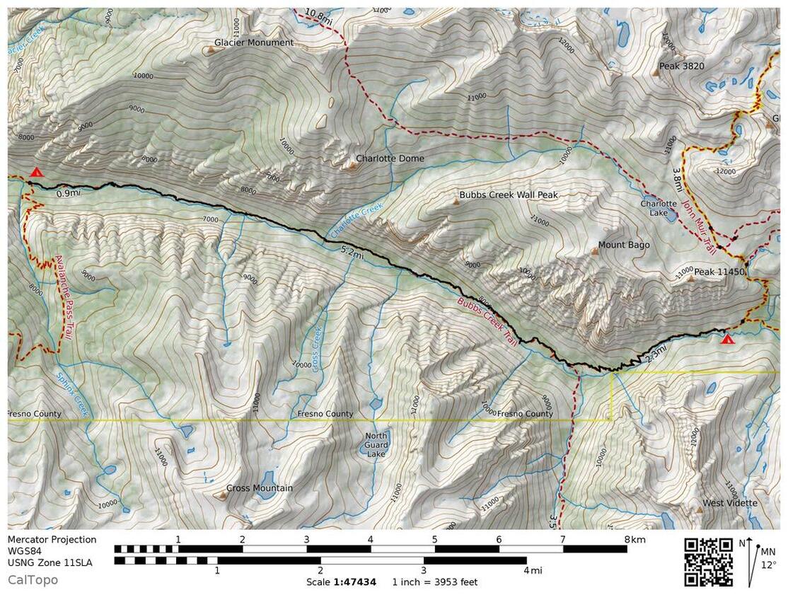
Coming out of Sphynx Creek was a rough one! On the map it looks fairly tame, there are no switchbacks and it's along the creek, but it is definitely deceiving. Between breaking camp and our lunch spot almost 7 miles up the trail at Bubbs Creek, we gained a total of 1,840 feet of elevation! Mind you, our packs were HEAVY!
It was very difficult to pack light for this trip. Having never been to the Sierra, and having never camped up at elevations over 8,000 ft. I was wary of being cold. We were also going to be on trail for 6 days, so I ended up taking an extra 10,000 mAh Anker battery bank (NOT necessary) on top of my 20,100 mAh charger that I already had. I took my warmest sleeping bag which is synthetic and NOT lightweight, AND and we had to take bear canisters which weigh over 3 pounds themselves! So our packs were heavy to say the least and made for some slow going as we continued to climb higher and higher. |
|
Our lunch break at Bubbs Creek was lovely and very relaxing. After regaining our energy and strength for the last half of the day, we came to Junction Meadow and then the climbing truly began. We climbed up 21 switchbacks, none of them were very long, and it was grueling in the afternoon heat. As we came up to more open views, we could see and hear a thunderstorm brewing in the distance. I am extremely afraid of thunderstorms, especially being out in the open and semi-exposed, so we were trying to hustle and get to camp.
Throughout the day we had met quite a few hikers coming down the trail who told us about Lower Vidette Meadow and how lovely of a place it was to camp. So we decided to camp at Lower Vidette instead of Upper Vidette. Upper Vidette Meadow gets a lot more campers every night because it is right along the John Muir Trail, which is an incredibly popular trail to hike in the month of August. |
|
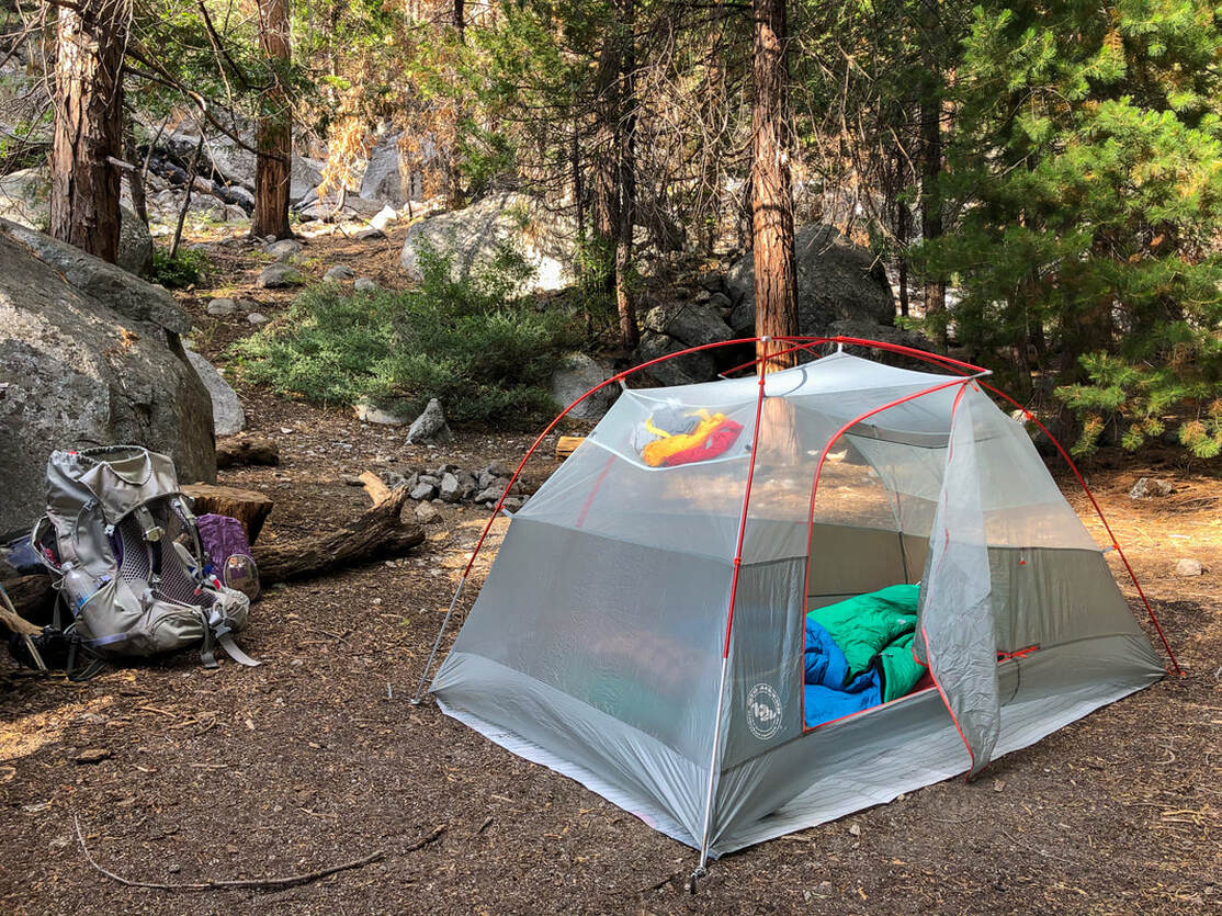
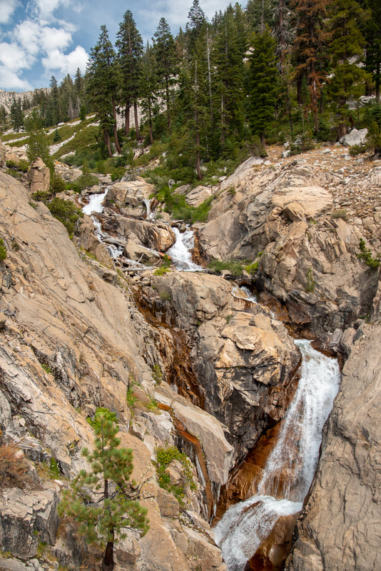
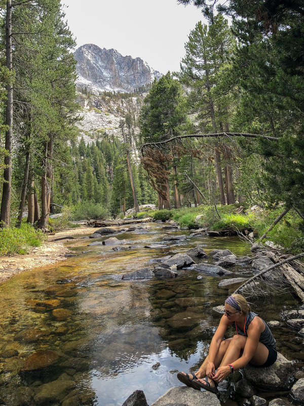
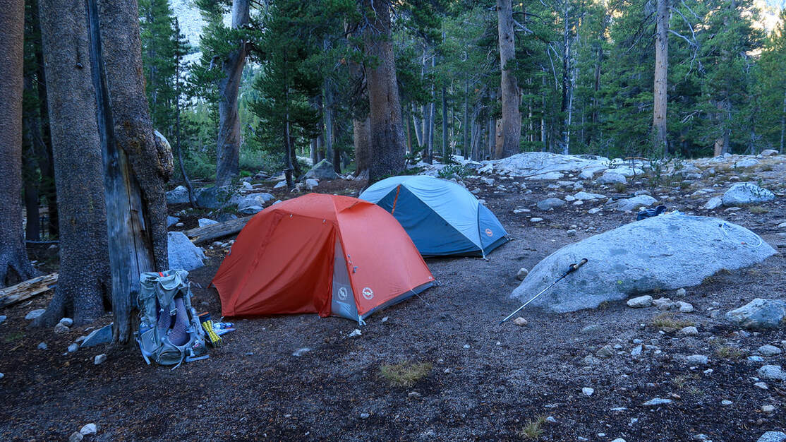
We found the campsite that everyone had been raving about, and it truly was amazing and we had it all to ourselves. There were lots of spread out spots for tents along a little side arm creek of Bubbs Creek. There was even a rock by a waterfall, which was stunning! Before setting up camp we decided to take advantage of the clouds not covering the sun yet and wanted to wash up a bit. BIG MISTAKE! Right after we were done playing in the water the storm started. Unlike the day before, this time it started to rain. Huge raindrops! Lots of thunder, lots of lightning. The storm was incredibly close! We hunkered down because we had been told by a ranger that the storms usually only last about 20 minutes. Well...this one lasted for over 4 hours!!! After hunkering down for 2 hours, it was starting to get dark out and we knew we just had to set up camp and get dinner going. We set up our Big Agnes tents as fast as we possibly could so that they wouldn't get too wet on the inside, and then we cooked and ate dinner in almost complete darkness except for the single beams of light coming from our headlamps. We felt a bit unsafe doing that because of the previous day's bear experience. It is best when you are able to see all around you and keep a watchful eye out for bears while you're eating. After dinner we immediately went to bed because after 3,327 ft. of climbing and the stress of the storm, we were beat!
|
AUGUST 16, 2020 -
LOWER VIDETTE MEADOW to Rae Lakes basin
7.4 MILES W/ 2,772 FT. ELEVATION GAIN
|
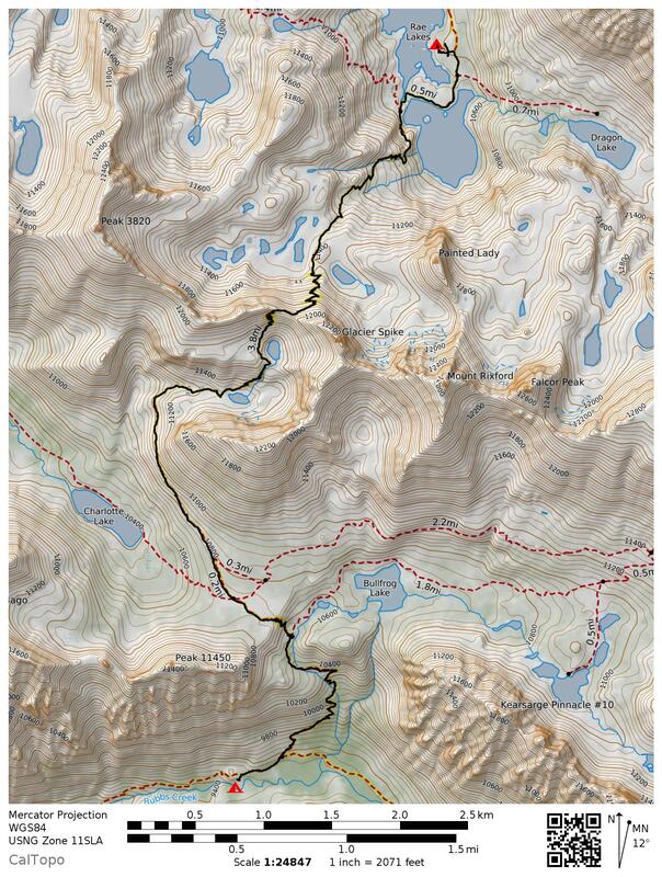
After a night of hail and rain, everything was fresh and we got up early for our most difficult day of hiking yet. It was the day of climbing over Glenn Pass, which sits at 12,000 feet elevation, the highest elevation I have ever hiked to. From our camp we hiked 0.3 miles and met up with the famous John Muir Trail. There were 11 switchbacks to the junction of Bullfrog Lake, where Holly stopped to filter herself some more water. I have a lot more energy in the mornings than I do after lunch, so from here we decided to split up and go at our respective paces up the pass.
|
|
As I continued to climb another 9 short switchbacks up to a plateau, I was beginning to notice how the elevation was effecting me, my stamina and my breathing. There was about a mile of walking across a the plateau, which was definitely a nice reprieve from the steep climbing. At one point we could see beautiful Charlotte Lake below as well as Mount Bago.
|
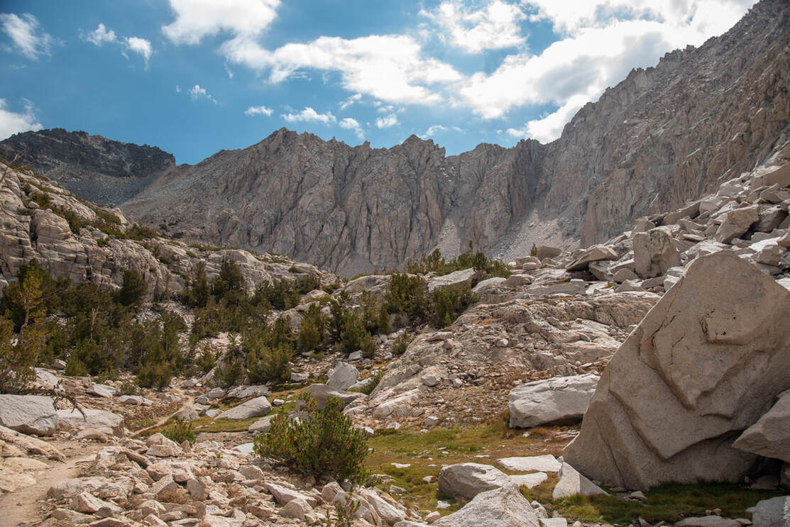
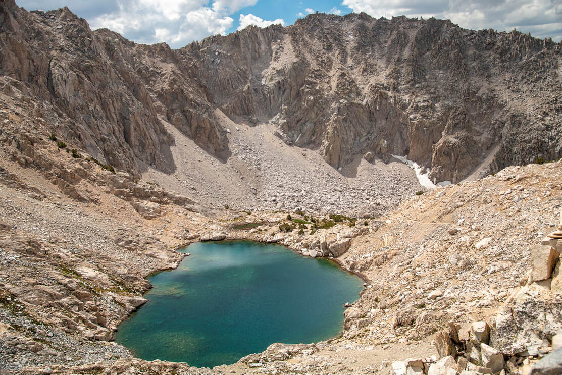
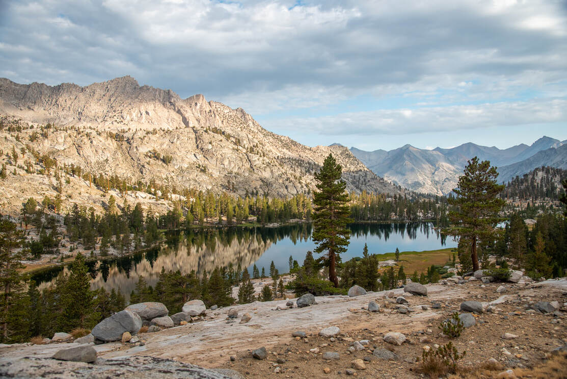
After seeing Charlotte Lake, the trail trends to the east and heads up into a glacial bowl. The huge granite walls all around you are intense, and you can't really make out where exactly the trail is because the entire landscape is rocky. There are two tarns that have ice in them well into July. The glacier water in these tarns is the most stunning blue/green color! As I climbed higher and higher, I could eventually look up and see the gnarly switchbacks going up and over Glenn Pass.
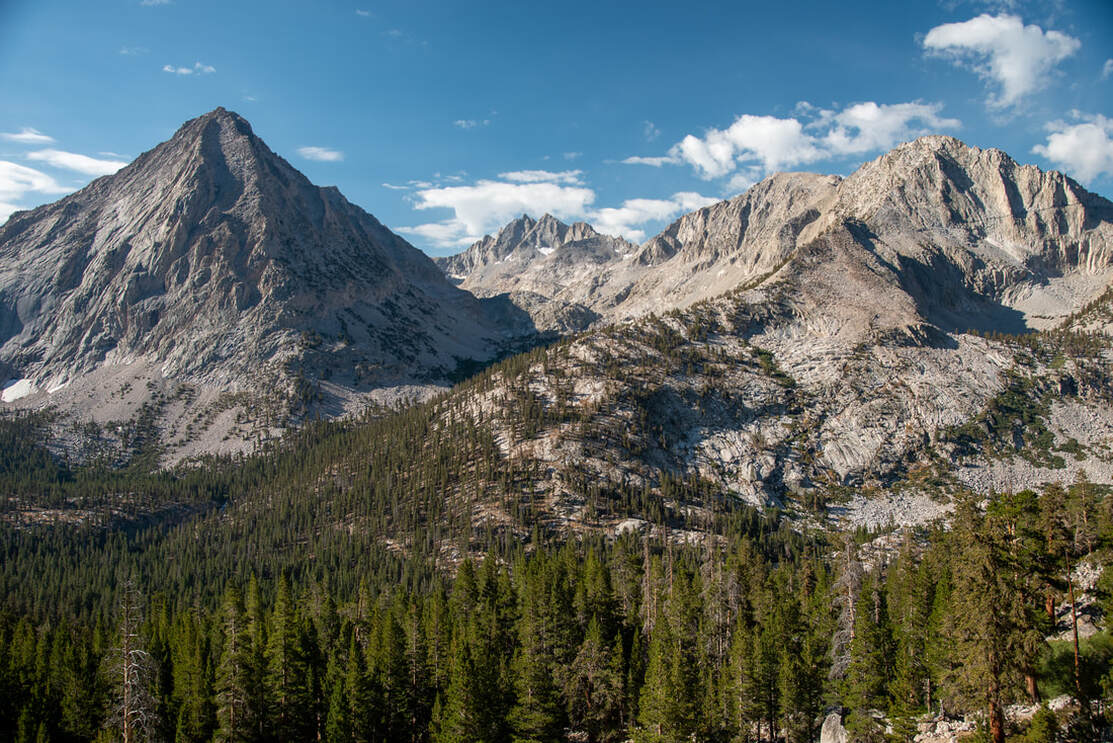
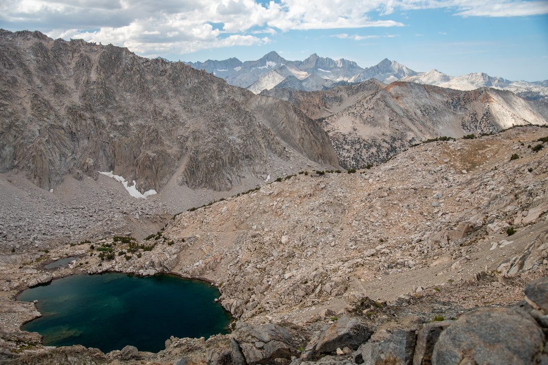
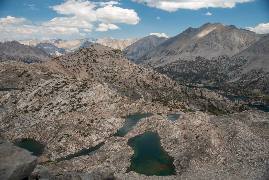
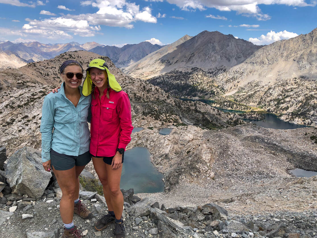
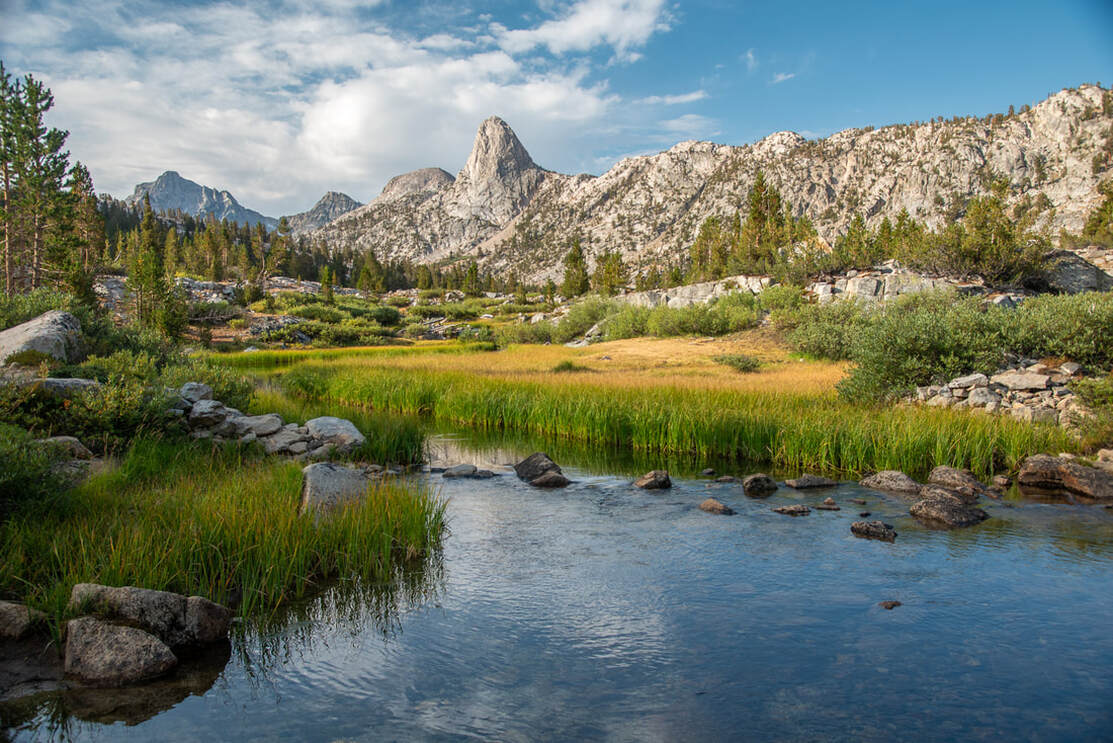
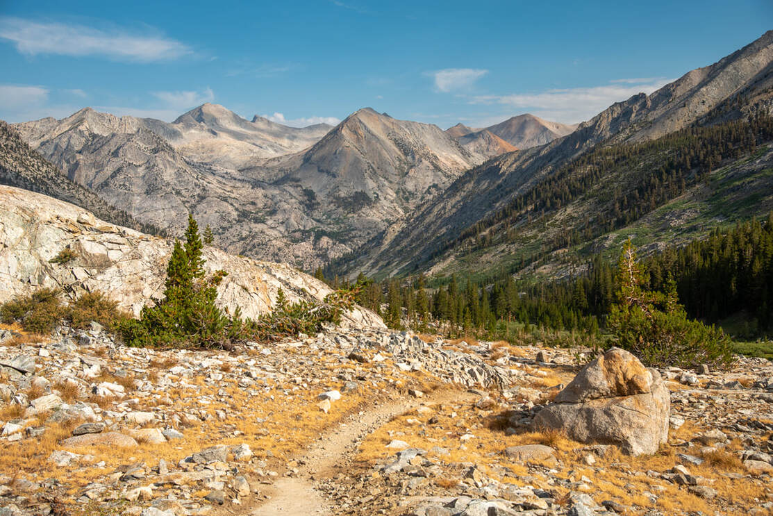
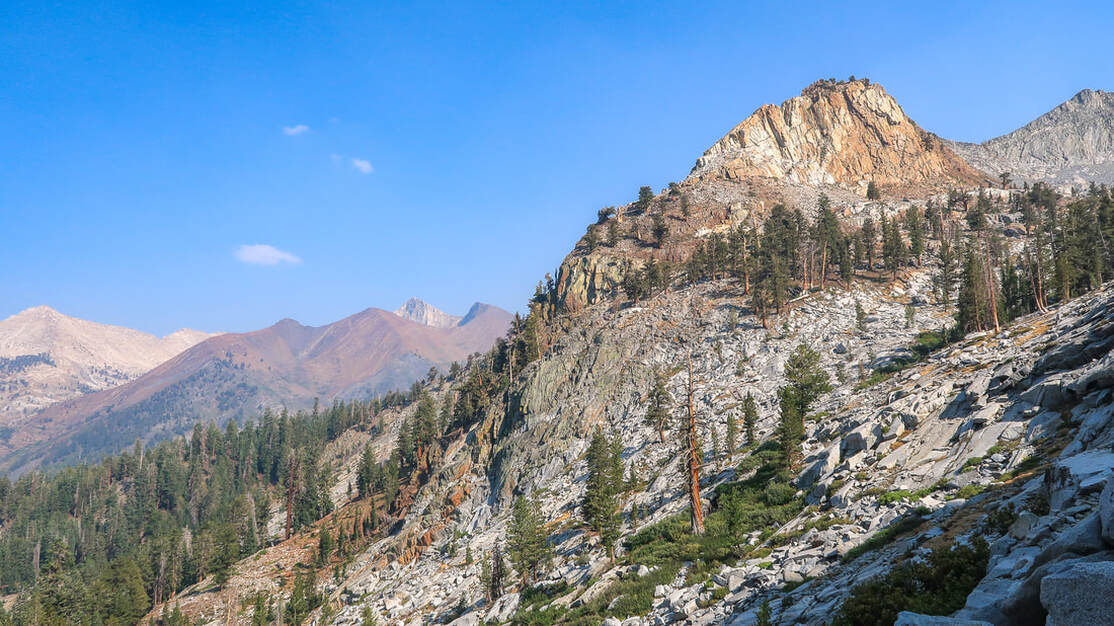
I started going up the 19 switchbacks that would bring me up to the summit of Glenn Pass and I got to the point where I had to stop every other switchback to catch my breath. I live at 420 feet elevation, so the high elevation was really getting to me and I just couldn't breathe very well! I finally made it up to the top of the pass and the view, as you can see, was absolutely incredible! To the south you have layers of mountains and the larger of the two tarns below. To the north you can see multiple other tarns, Rae Lakes basin, the Painted Lady, Black Mountain and Fin Dome.
As I was taking some pictures and video from the top, I saw Holly coming up the switchbacks, and I couldn't wait to share this moment of achievement with her. A few minutes later she made it up and I was so overwhelmed with happiness that I started to get emotional and tear up. We stayed at the top for about a little while and then started our 3 mile descent into the Rae Lakes basin.
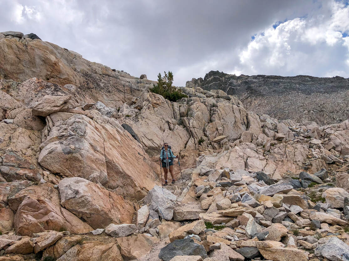
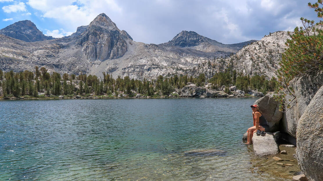
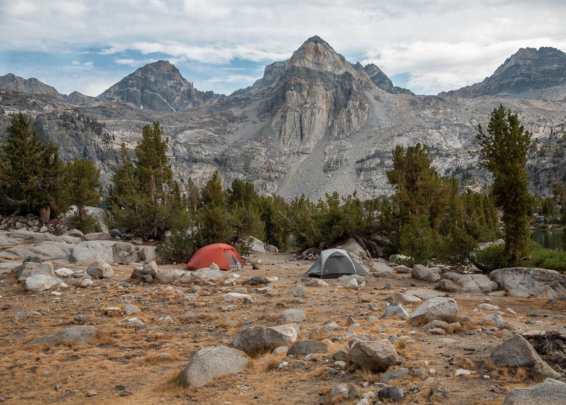
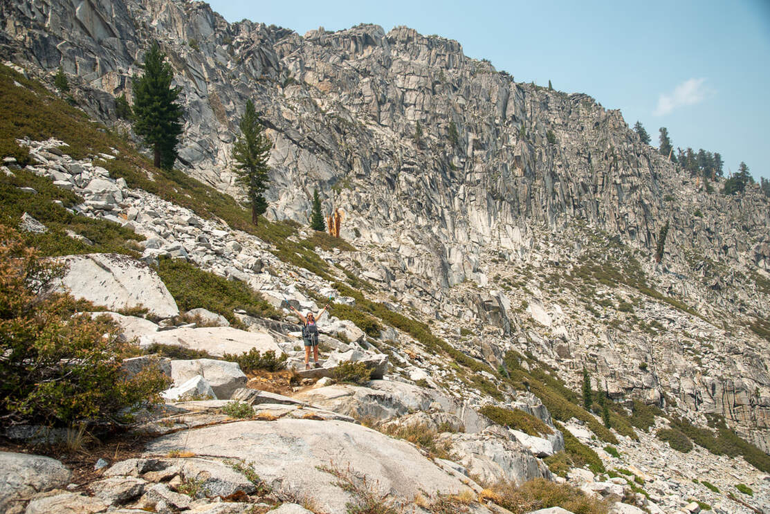
The trail down from Glenn Pass was extremely rocky, mainly larger rocks which moved and were tricky to walk on. You really had to watch your step to make sure you didn't twist an ankle or sprain a knee. Trekking poles helped immensely! We finally got down to the Rae Lakes basin when it started to sprinkle a little bit and we saw a gnarly storm rolling in. We passed the first of the Rae Lakes and headed over to the second lake and found a great spot to camp in an area that already had established campsites, as well as two bear lockers for campers to use.
|
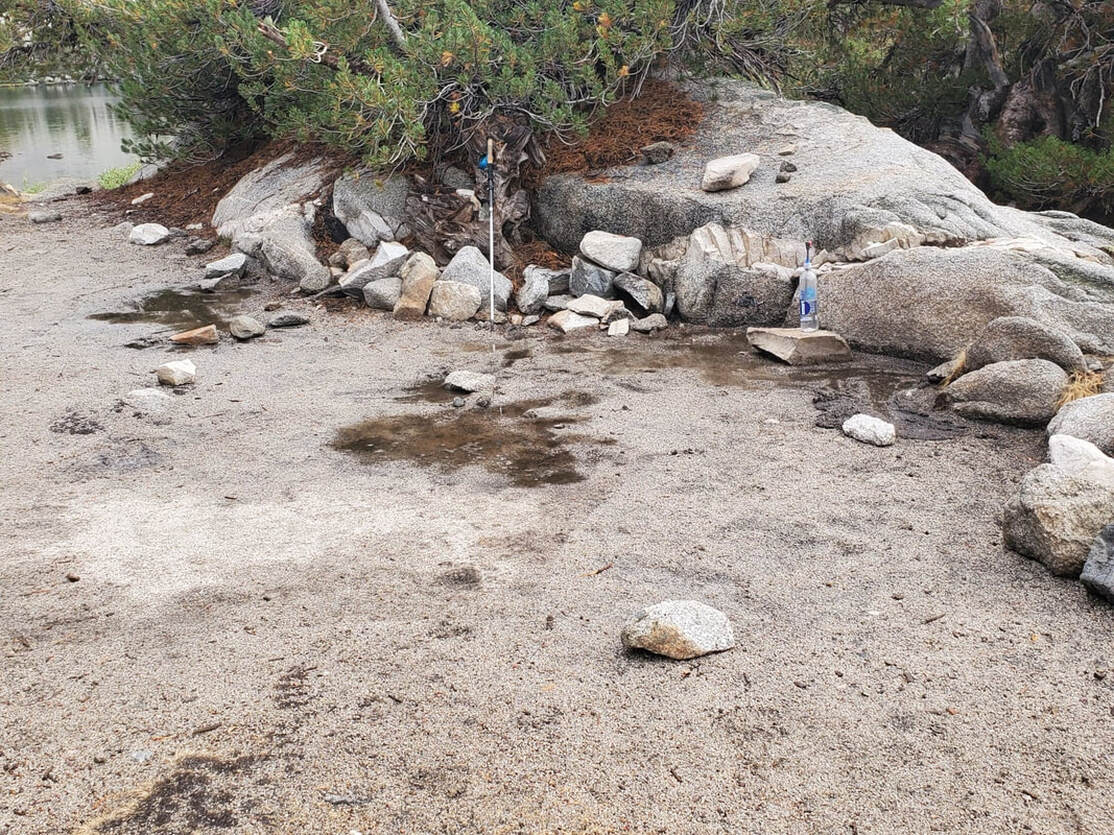
After we set up our camp, the storm really started to rage. It rained so hard and there was so much water running off of my tent that it flooded where I had set up camp. The ground in the high Sierra is very rocky and it doesn't have much dirt to soak up the water, so if there are heavy rains, the water just sits there for a while. I waited for a short break in the rain and I moved my tent. Thank god for my free standing tent. It was actually super easy to move! Flooding is not something we generally have to worry about when camping in the Pacific Northwest, so this was definitely a lesson learned to pick my campsite more wisely next time.
|
The storm lasted a little over an hour, and then it cleared up and we sat by the bear lockers and cooked dinner. We chatted with some other hikers, some were also doing the Rae Lakes Loop, but most others were doing the John Muir Trail (a 211 mile thru-hike in the Sierra that goes from Mount Whitney all the way up to Yosemite Valley).
AUGUST 17, 2020 -
RAE LAKES BASIN rest day
0-ish MILES W/ 0 FT. ELEVATION GAIN
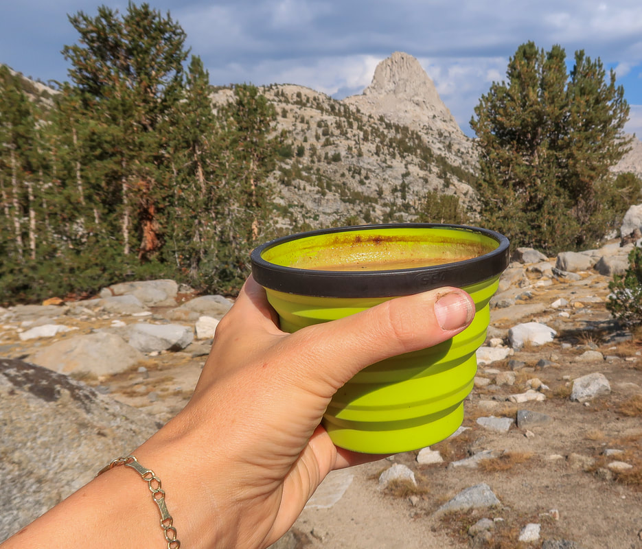
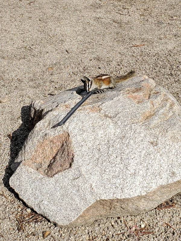
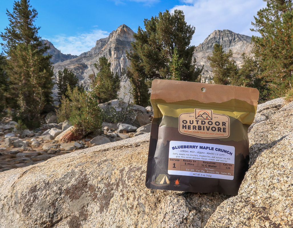
After 3 days of continuous climbing, we were so happy to have a rest day at Rae Lakes. We slept in and then enjoyed the sunshine and a deliciously relaxing breakfast at the central bear locker. The bear locker opens from the front which means you can use the top as a nice flat countertop to cook on. For breakfast I had my usual C.S. Coffee and Blueberry Maple Crunch from Outdoor Herbivore. The chipmunk seemed to love it as well. I put my spoon down on a rock for a second and it came running and started licking my spoon! (I generally don't feed wildlife because you know, Leave No Trace!)
|
After breakfast we debated switching campsite locations because I was scared of my tent flooding again if there was another storm. We walked around and looked at all of the campsites that were now empty because everyone else had left for the day. There were a few other sites that caught our eye, but really we just wanted to relax and not do any work, so we decided not to move.
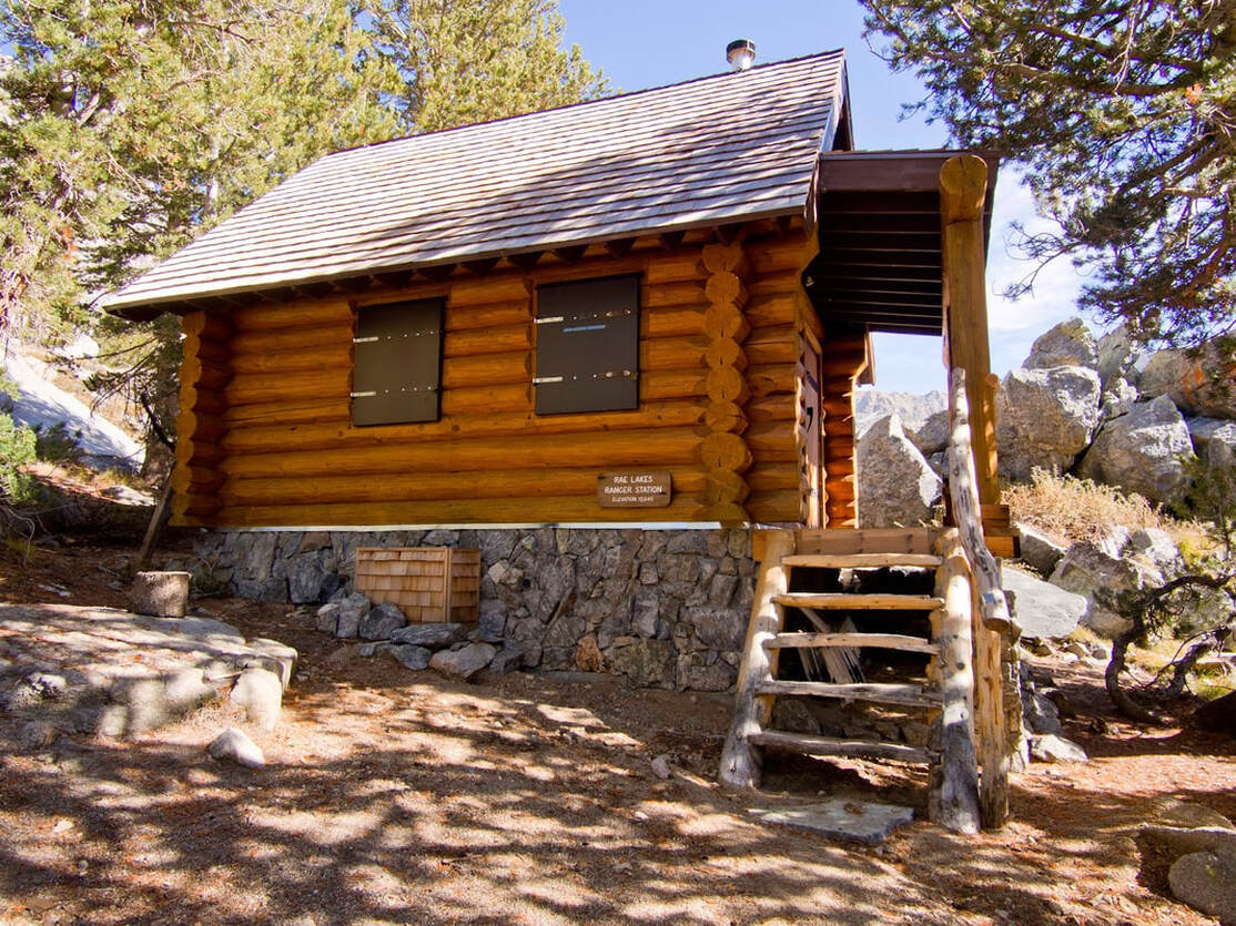
I filmed some YouTube videos because we were in such an epic location, why not take advantage and do some gear reviews, right? Then we sat by the lake for a while and talked with some other campers who were also taking a zero day. In the early afternoon we took a walk down the trail about half a mile and found out that the ranger who is stationed at Rae Lakes actually has a cabin. It is such a cute cabin and we were so jealous that they get to live in this amazingly beautiful place all summer long! |
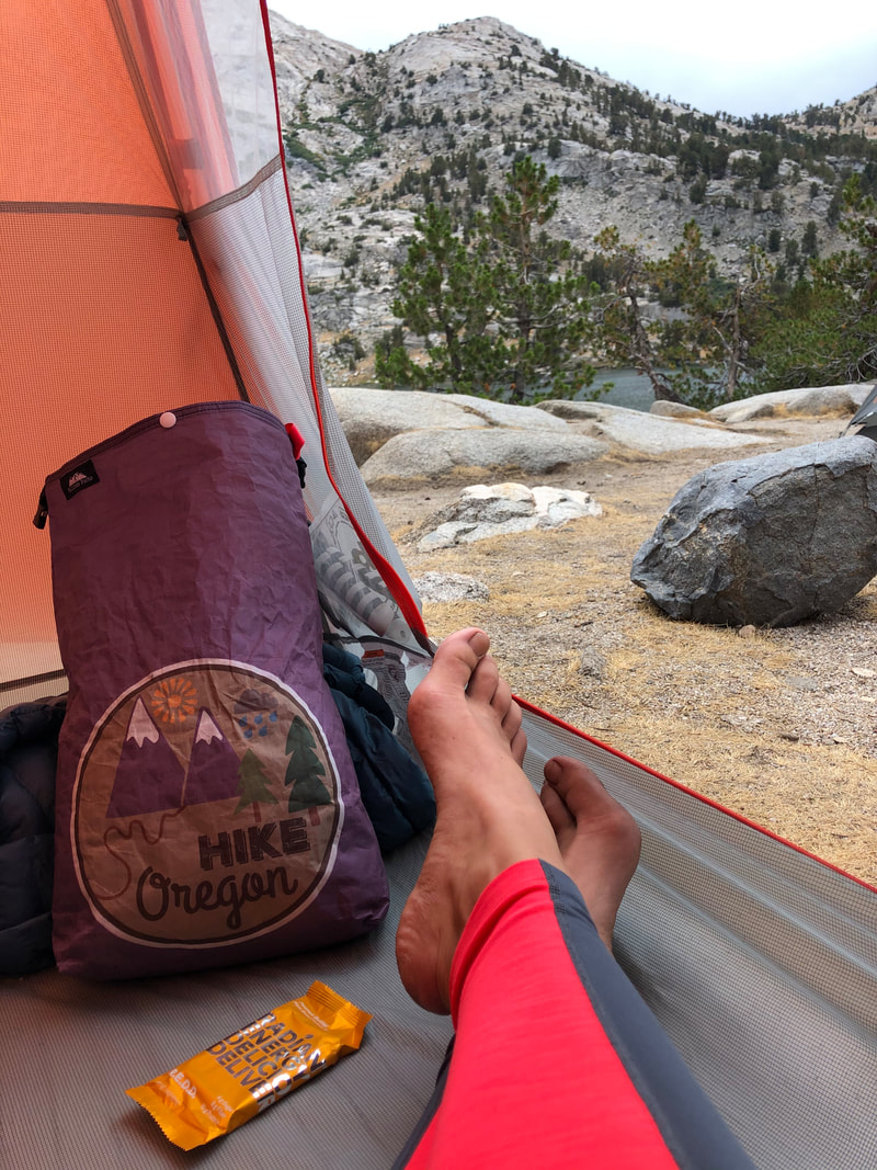
On our walk back we felt some raindrops and heard some distant thunder, so we hurried back to our tents and closed up. The raindrops lasted for about 10 minutes and then it completely cleared up. We ended up opening our tent doors and just lounging for a couple of hours. I wrote a little bit in my journal and then just laid down on my sleeping pad and enjoyed what I call "backpacker brain escape". This is a phenomenon that occurs for me about 2-3 days into a backpacking trip. Because I am so disconnected and "free" from all of the noise, distractions and things that fill my head on a daily/hourly basis, when I am backpacking my mind becomes incredibly still. So still in fact, that I forget certain words for things and sometimes can't even form a logical sentence. I often find myself just standing in the middle of camp just staring off into space. This is when you know you have reached "backpacker brain escape". It is a magical feeling and I enjoy every minute of it!
AUGUST 18, 2020 -
RAE LAKES BASIN to Upper Paradise Valley
12.9 MILES W/ 692 FT. ELEVATION GAIN & 4,006 ft. elevation loss
|
This was by far my favorite day of hiking out of the entire trip!
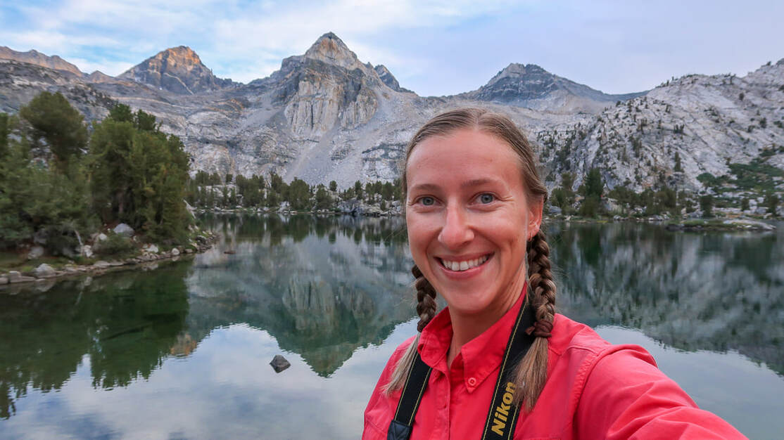
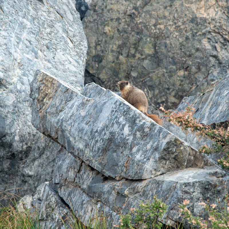
We woke up refreshed and rested from our previous day of little to no walking. We got up before sunrise to pack and I am SO glad that we did, because we got to witness the most spectacular sunrise and the best reflection of the mountains in Rae Lakes. It was magical and we really didn't want to leave. But we got on the trail because we knew we had a long day ahead of us. On our way out we saw about 10 Yellow-bellied Marmots that were living in and around this large pile of rocks near the ranger's cabin. So cool! |
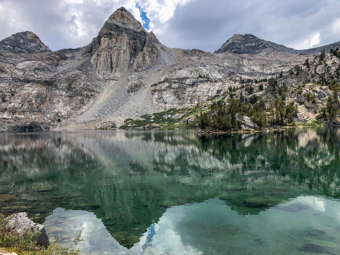
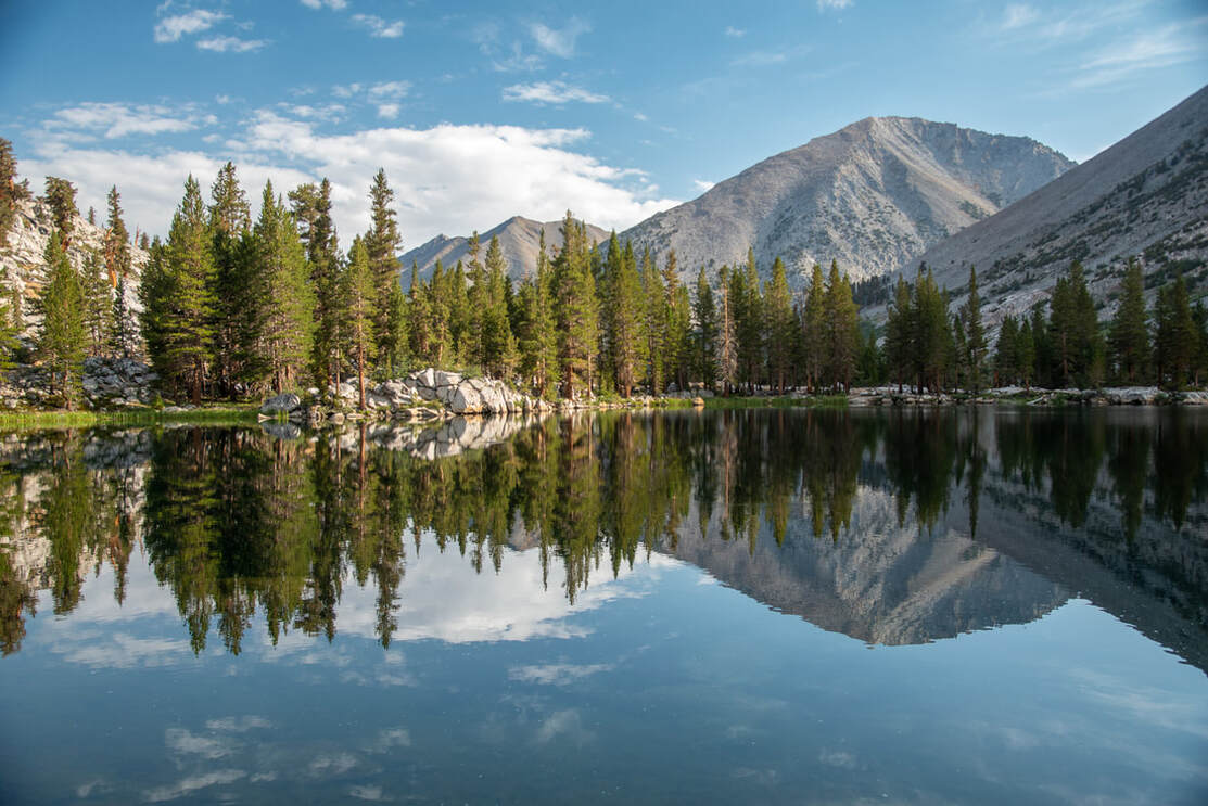
2 miles from our campsite we saw Arrowhead Lake, another gorgeous place to camp along the John Muir Trail and not as busy as Rae Lakes. Just after Arrowhead Lake and after crossing a stream, we came upon Dollar Lake which had one of the most stunning reflections!
|
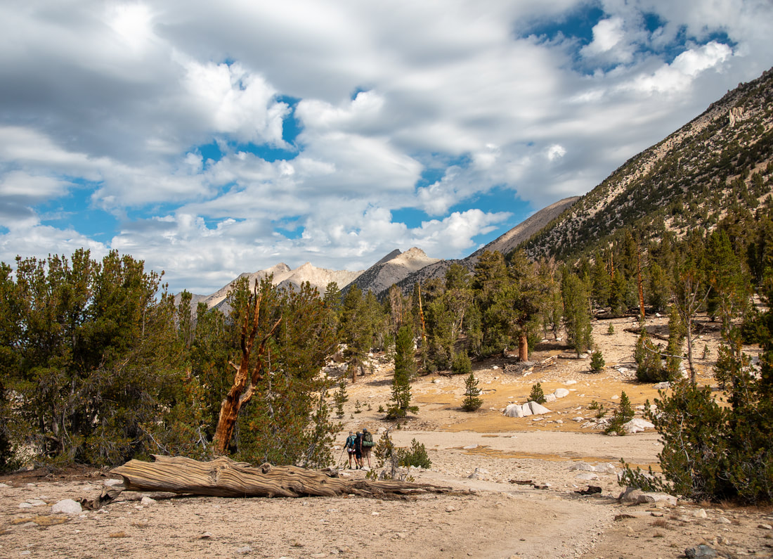
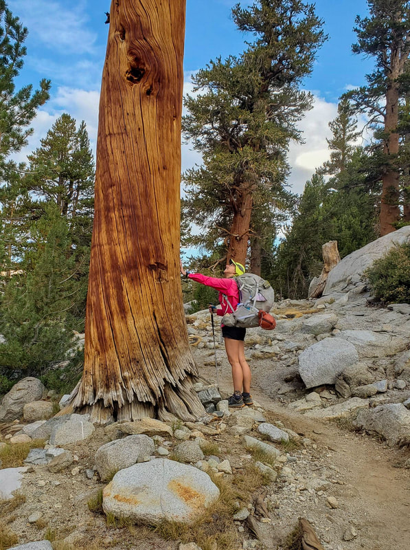
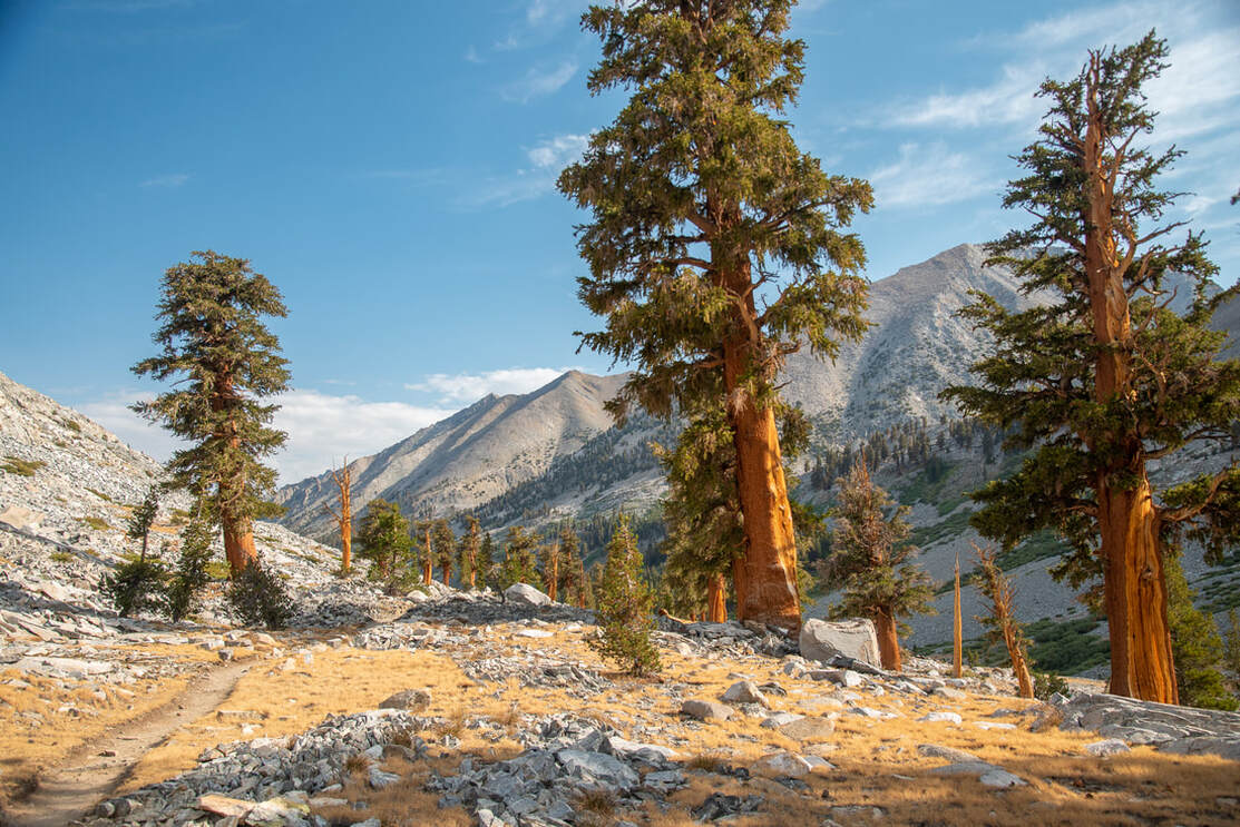
After passing Dollar Lake we continued going downhill (4,000 ft. of decent total on this day!). The trail meandered next to South Fork Woods Creek and the surrounding landscape became increasingly rocky and these gigantic Sequoia trees were growing right out of the rocky ground. It is hard to imagine how these trees grow to be so huge in such harsh conditions. Judging by their size, some of these were many hundreds of years old!
|
|
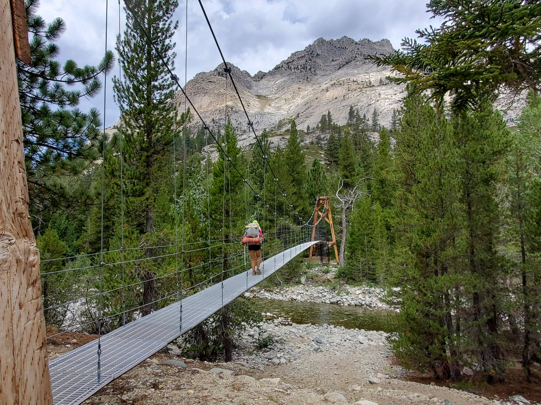
After 7.1 miles we came to our lunch stop at the Woods Creek suspension bridge. There is a sign here that asks hikers to cross one at a time. The bridge is super wobbly and it sways quite a bit if you don't coordinate your steps right. During our lunch break we started noticing some menacing clouds and we felt a couple of raindrops already. This day was the earliest the storms started! By 2pm we were getting rained on quite heavily and there was lots of thunder overhead.
|
After crossing the suspension bridge we left our beloved John Muir Trail/Pacific Crest Trail and got on the Woods Creek Trail/Rae Lakes Loop Trail. The trail continued heading downhill along Woods Creek. After getting rained on for a while and hiking downhill all day, we were so beat! Right before Upper Paradise Valley at the South Fork Kings River the bridge is out. This was a substantial bridge and it washed out in the winter/spring of 2016/2017 during the insanely high snow year. This is a huge river so it is generally not safe to cross until mid to end of July (depending on the year).
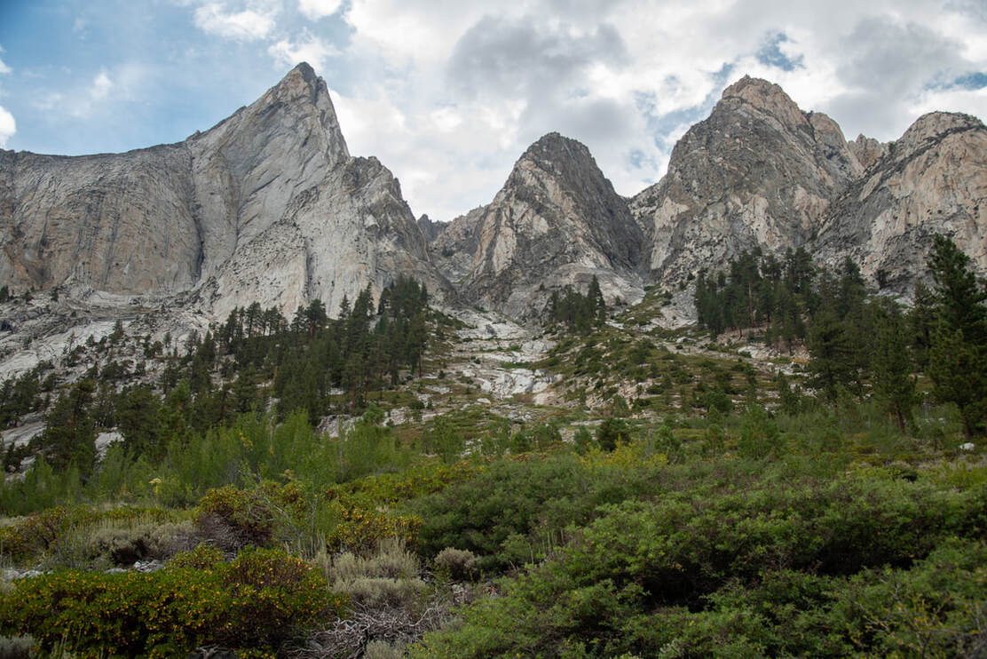
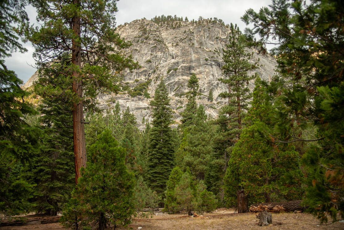
After finding a safe place to cross the river, we arrived at Upper Paradise Valley. This place is aptly named. Even though it isn't an incredibly scenic camp spot like the ones at higher elevations by lakes, this was by far my favorite campsite of the trip (besides Rae Lakes of course). We found a nice open spot where no hazard trees could drop their limbs on our tents at night, and we had a gorgeous view of the towering granite peaks all around us. It truly felt very magical. After setting up camp and filtering some water from the river, another afternoon storm rolled in and we spent 2 hours (from 4-6pm) in our tents. Once the storm was over we were able to really enjoy our last night out on the Rae Lakes Loop.
|
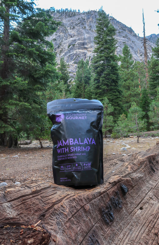
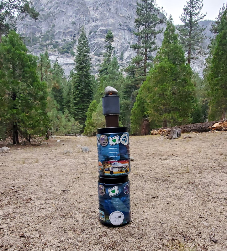
For dinner I ate what ended up being my favorite meal on trail, the Jambalaya with shrimp from Stowaway Gourmet. After dinner we stacked our bear cans and went to bed. We had learned from our fellow campmates on the first night of our trip, that if there is no bear locker, you can stack your cans and put a few rocks on top as well, so that if a bear comes and messes with your canisters, they would fall over and you would hear it in the middle of the night. That way you can scare the bear away so that it doesn't roll your canister down the trail.
|
AUGUST 19, 2020 -
UPPER PARADISE VALLEY to Road's End Trailhead
9.7 mILES W/ 500 FT. ELEVATION GAIN & 2,123 FT. ELEVATION LOSS (hiked)
124 MILES (driven)
We got up before sunrise again because we not only had almost 10 miles of hiking, but also had many hours of driving to do that day. For 7 miles we walked along the South Fork Kings River in a steep canyon. There was one section where we climbed down 12 switchbacks which was rough on the knees for sure. In the Sierra they like to build trail with very large steps made from the rocks which are extremely difficult to navigate uphill as well as downhill if you are not a tall man.
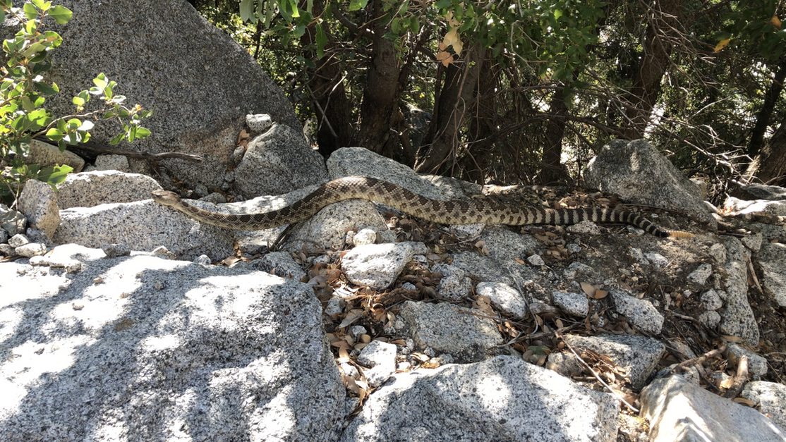
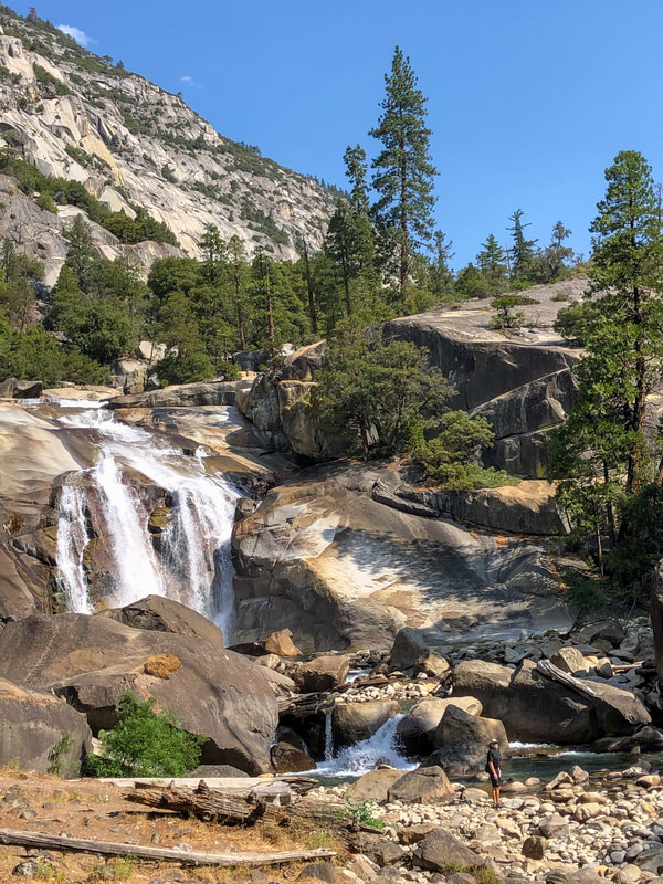
Because the trail was so close to the river, it was pretty loud and I did not hear a rattle snake that was coiled up right next to the trail. Luckily it did not strike me when I was inches away from it. Instead I walked by and Holly ended up seeing it as it was slithering away next to the trail. It was an impressive snake at 4-feet long and massive girth! We passed by Mist Falls and then came back to that first sign we saw on the way in. From here we knew that it was only 2 miles back to the trailhead. During those 2 miles we saw 4 bears which was so exciting! A mom with two cubs walking pretty far away from the trail, and a yearling up in a tree eating bugs in the wood. None of them paid any attention to the hikers on the trail.
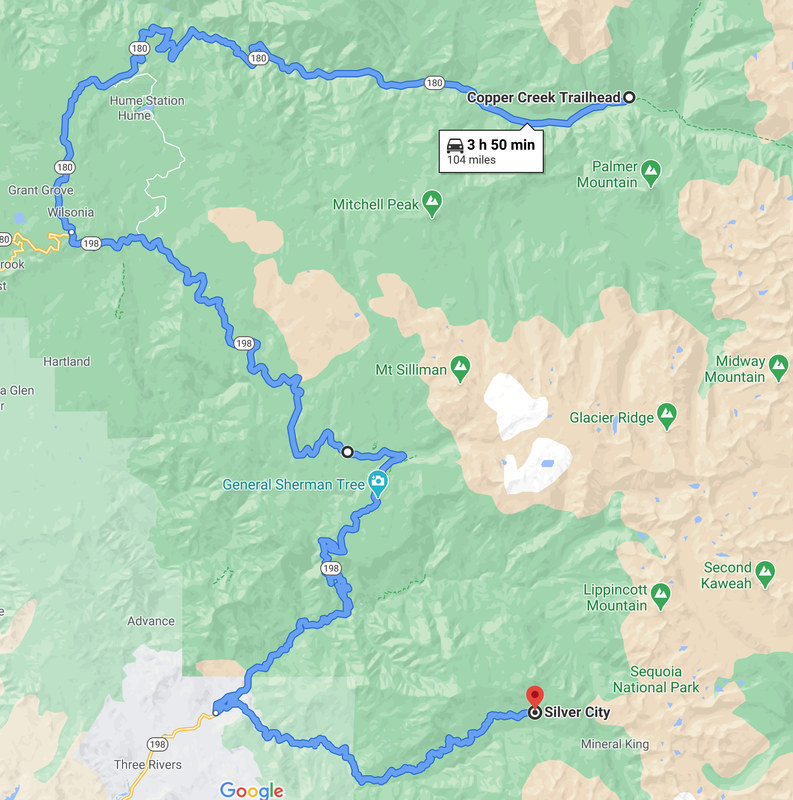
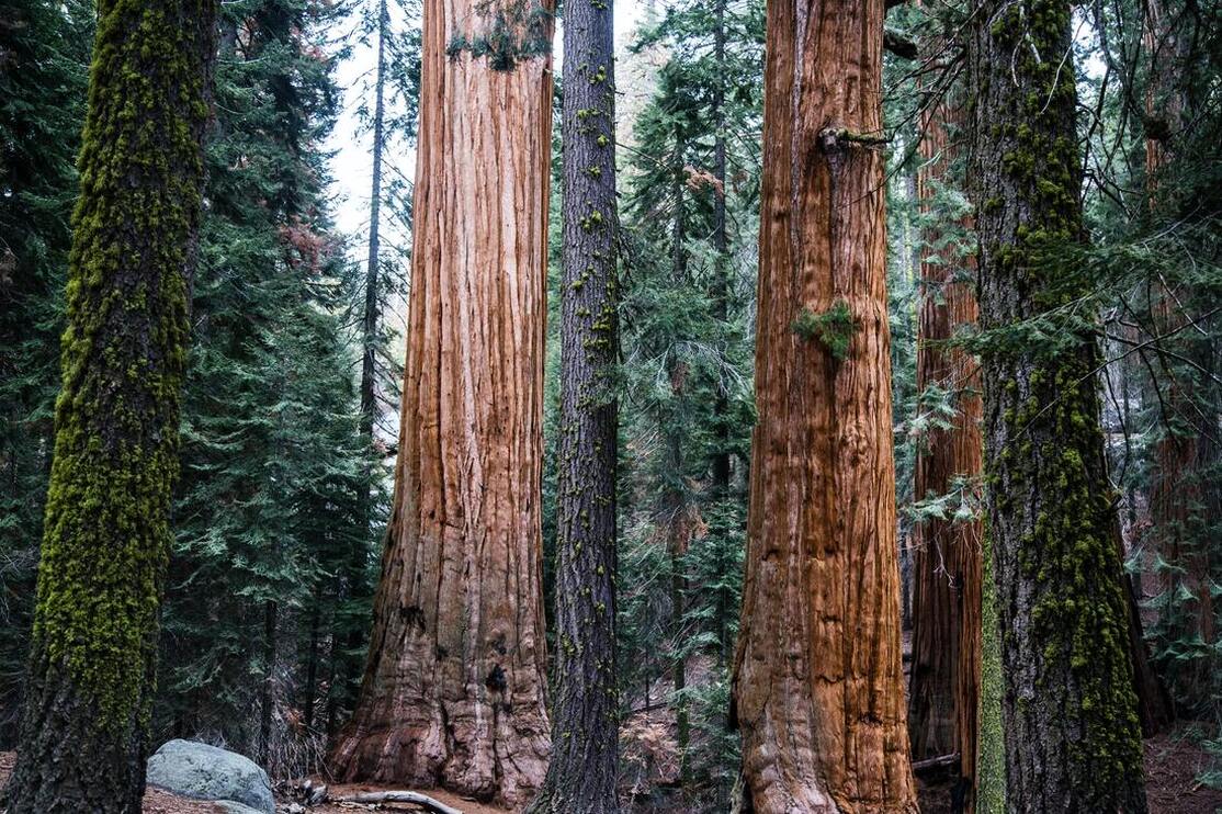
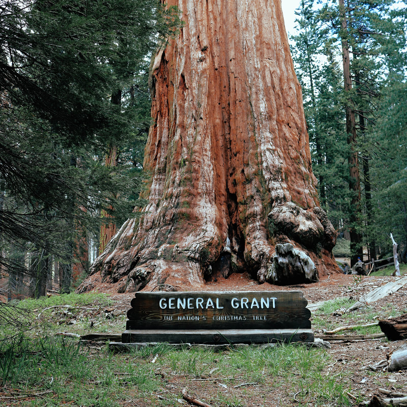
After finishing the hike (which ended up being a total of 43.2 miles) we had lunch at the trailhead and then we started our long drive to Silver City Mountain Resort in the Mineral King area. Because we were driving through the entire Sequoia National Park we did stop at some of the attractions like the Grant Grove. It was absolutely amazing and a once in a lifetime experience to see some of these ancient Sequoia Redwoods that are thousands of years old!
|
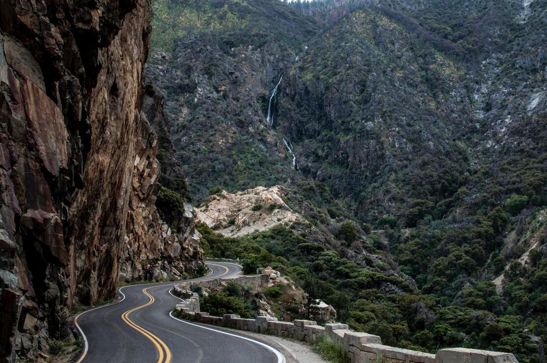
The road from the Grant Grove through the park and down to the town of Three Rivers was insanely windy! There was also over 20 miles of road work being done where they only had one lane open at a time so the drive seemed to take 3x as long as it normally would have. If you are just wanting to get to Three Rivers and not wanting to stop at all of the sights inside the national park, I recommend that you take CA-245 instead of CA-198, it will go a lot faster!
|
We went a few miles out of the way to stop in the town of Three Rivers which is at the very edge of the national park. It is the only place with phone service in this remote mountainous area, so we used the opportunity to call our families as well as get some fresh goodies from the grocery store like fruit, salad for dinner and cold drinks. Then we were on our way to tackle Mineral King Road to Silver City, one of the most insane roads that I have ever driven on! It was only 19 miles to Silver City Resort, but it took 1 hour and 40 minutes! The road was steep, windy and most of it is one lane with no guard rails and a sheer cliff drop off on the side. (Dangerousroads.org says that the entire road is 25 miles long and has a total of 398 curves!!!)
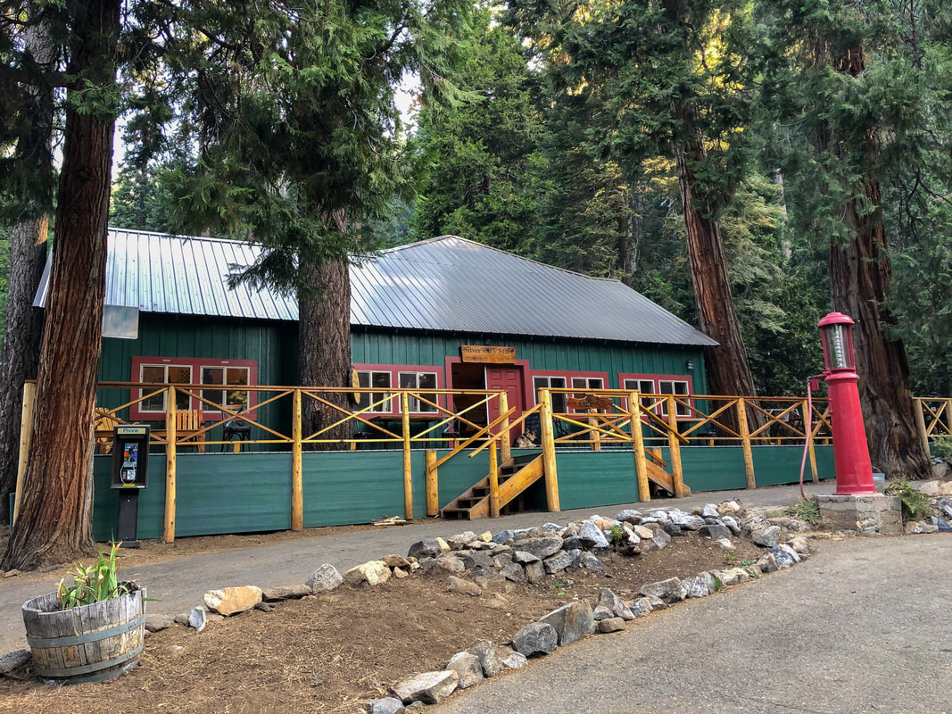
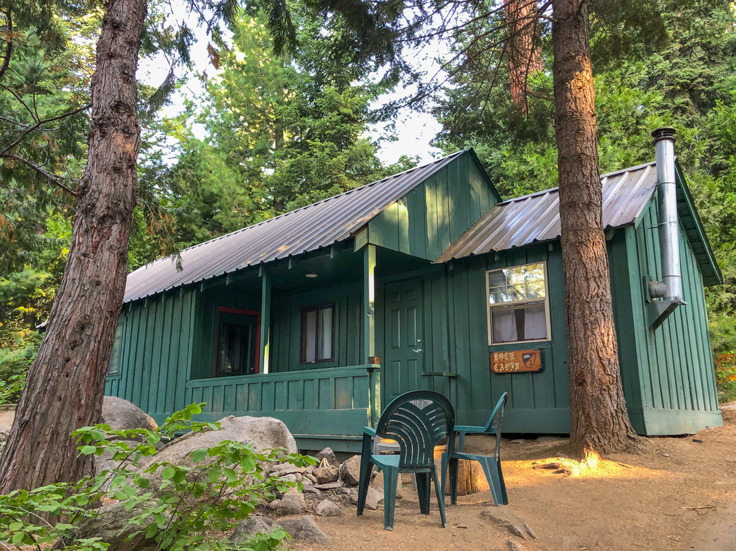
Needless to say, it was such a relief to make it to Silver City Resort alive. We arrived at 8pm so it was too late to eat in their restaurant, so we checked into our cabin and cooked one of our backpacking meals in the little kitchen that was attached to our cabin and we also had a delicious fresh salad to go along with our meal. Overall, we were exhausted from the day and after dinner we took a shower (the first one in 6 days) and went to bed.
AUGUST 20, 2020 -
Eagle Lake
7.5 MILES W/ 2,136 FT. ELEVATION GAIN
|
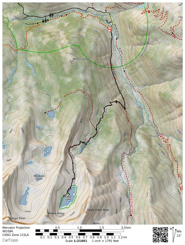
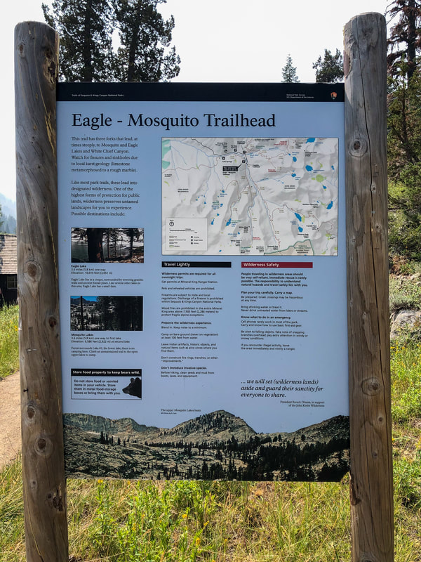
We slept in until about 9am and then grabbed an amazingly delicious breakfast at the lodge. The breakfast was so good we were already feeling excited for dinner! There are many trailheads at the end of Mineral King Road, but many are the beginnings of quite long backpacking loops. We were recommended Eagle Lake or Mosquito Lakes which both start at the same trailhead. We decided on Eagle Lake and I am so glad that we did. It ended up being the most fantastic last day in the Sierra for us. So relaxing and calm and so much fun! Unfortunately when we woke up that morning it was pretty smoky outside from a nearby fire that broke out from one of the many thunderstorms that happened over the previous 6 days. But the hazy conditions did clear up a bit throughout the day.
|
|
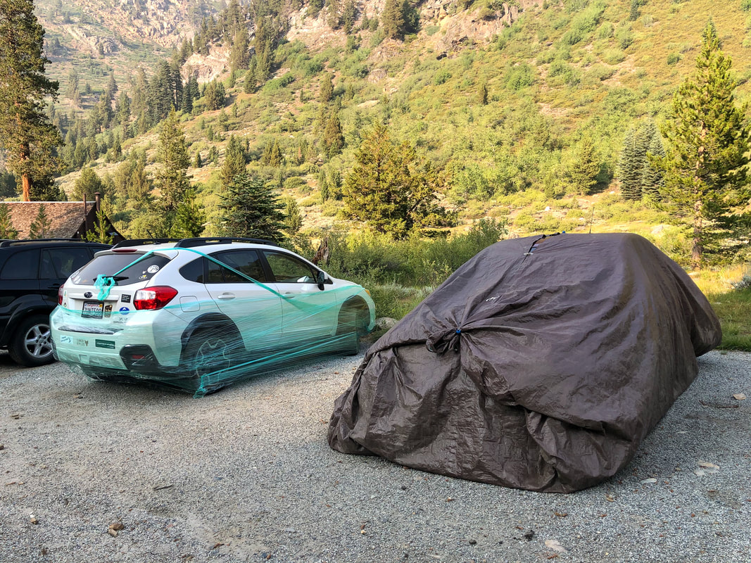
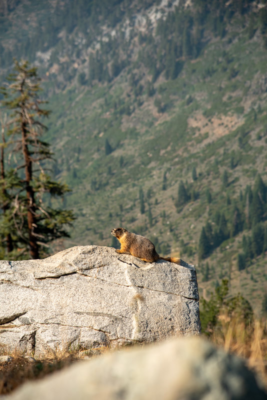
At the trailhead we saw a very interesting and funny phenomenon. Diapered cars. Apparently the Marmots in this area are deprived of a specific nutrient which makes them seek out coolant in cars. So people who are gone on multi-day backpacking trips will diaper the underside of their cars so that the Marmots don't chew a hole in the bottom. We thought it looked hilarious, especially the car covered in seranwrap!
|
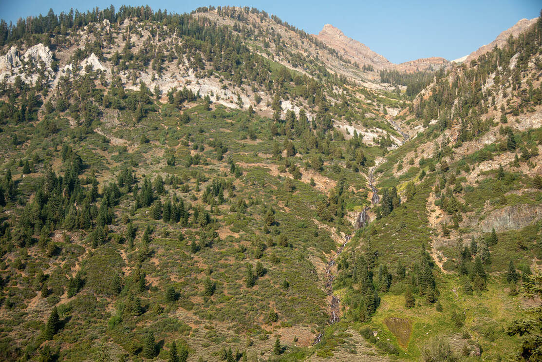
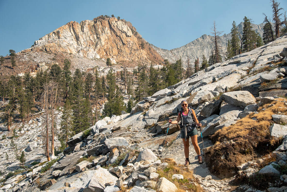
We started along the White Chief Trail which climbs up into the East Fork Kaweah River valley for about 1.2 miles. Along this section of trail you can see Mineral Peak and Crystal Creek cascading down the hillside from its origin at Crystal Lake. After 1.2 miles we came to a trail junction and turned right onto Eagle Lake Trail.
After going through a beautiful forest and traversing some alpine meadows, we came out into the open and the trail became slabs of granite. It became a bit difficult to discern where the actual trail was, and we did get off of it a few times. From this open rocky area you could see the many layers of Mineral Kings like Eagle Crest Peak, Tulare Peak, Florence Peak and Rainbow Mountain.
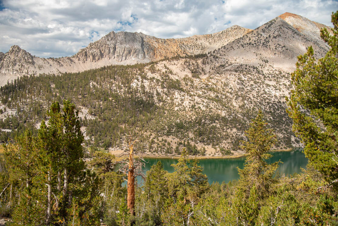
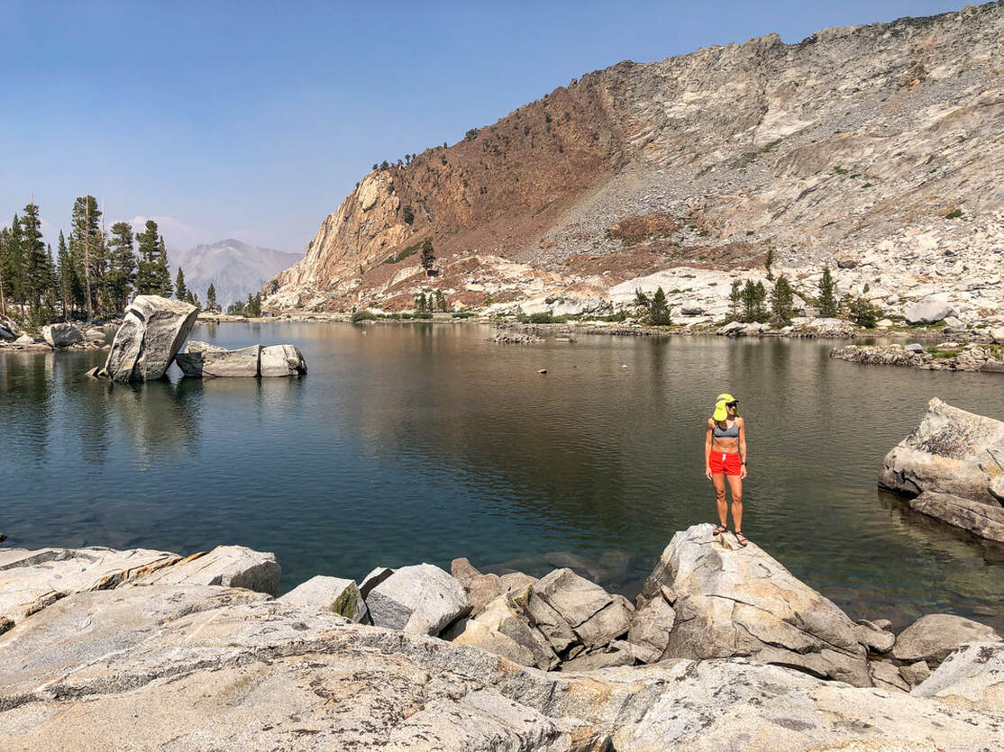
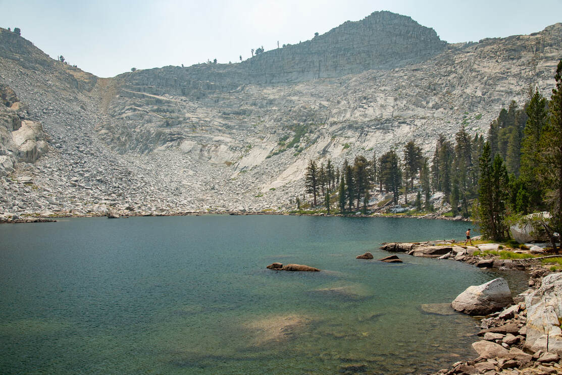
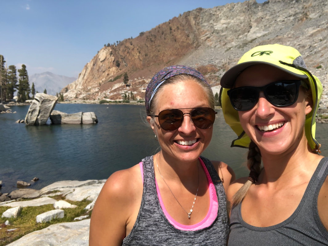
After hiking 3.75 miles we arrived at Eagle Lake. It is a stunning lake with rocks all around, so it is not a great lake for camping. Here you are at 10,020 ft. elevation so the sun is strong and the temperature on that day was very warm. We went out onto the lake's little middle peninsula and sat on a big flat rock to eat lunch.
From our lunch spot across the lake to the north we could see the mountains beyond, and to the south the lake is rimmed by the steep rocky slopes of Eagle Crest Peak and Miners Ridge. It is a stunning lake with huge rocks jutting out of the middle of the lake. It's very swimmable, and because of the rocky shoreline you can easily jump into the water.
|
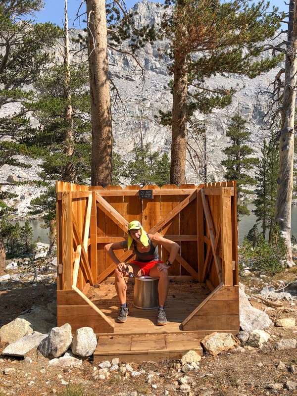
Because this area is so rocky and it would be impossible to dig a cat hole here, the forest service has built a three-sided pit toilet up the hill from the lake. It's a great edition to an already perfect spot!
We spent a few hours at the lake and started heading back in the late afternoon. We got back to the car around 7pm, but Silver City Mountain Resort is only 5 miles down the road, so it's not a far drive. We changed clothes and went to the lodge to grab dinner and a well deserved beer. |
The food at Silver City was just absolutely incredible! They take great pride in sourcing fresh and locally grown produce, meat and even coffee, and you can taste it! The high quality ingredients really make a difference and the love and effort that goes into preparing each meal is the icing on the cake! For what you are getting the prices are not high at all. I got the San Franciscan (OMG it was SO good!) and Holly got the Carne Asada Fries which she loved! After our delicious dinner and drinks, we spent some time in the lodge's lovely little gift shop and then we went back to our cute little cabin and got ready for bed.
AUGUST 21, 2020 -
Silver City Resort to Medford, OR
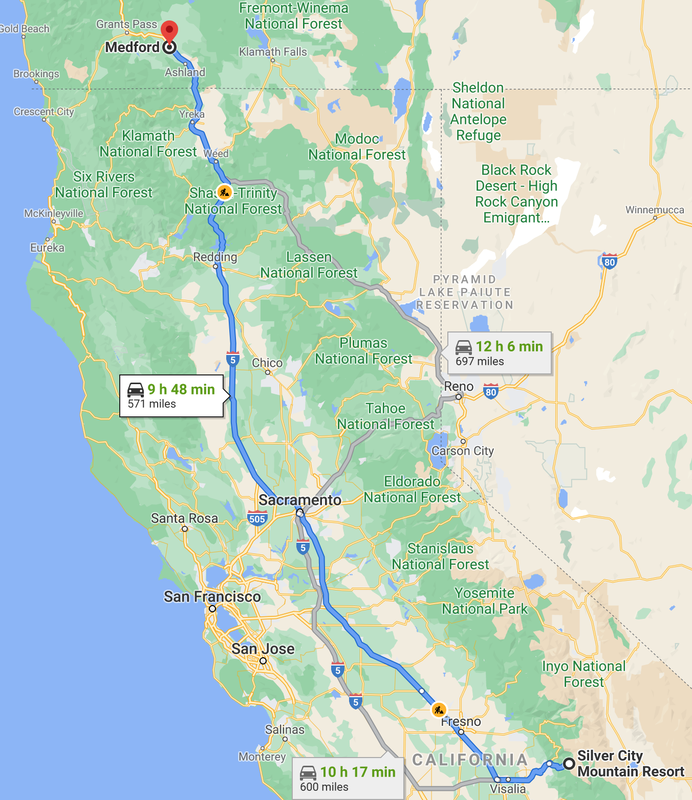
571 MILES DRIVen
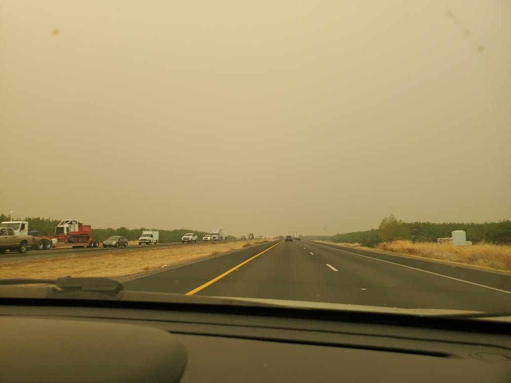
I was not excited for this long day of driving, but it had to be done and I was ready to be home and away from the smoke. After the 19 miles of windy Mineral Kings Road, it was straight highway for a long time. During our time in the mountains many fires had broken out throughout Central California, so the air quality was terrible while we were driving, and we couldn't even see the fruit orchards that line the highway.
|
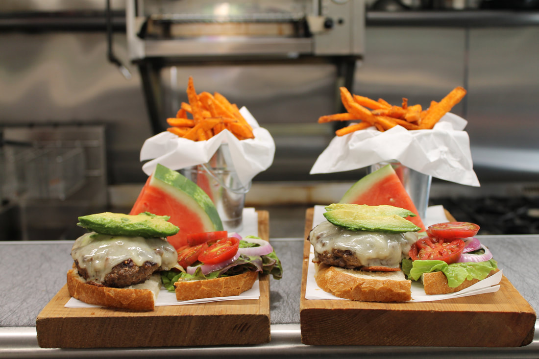
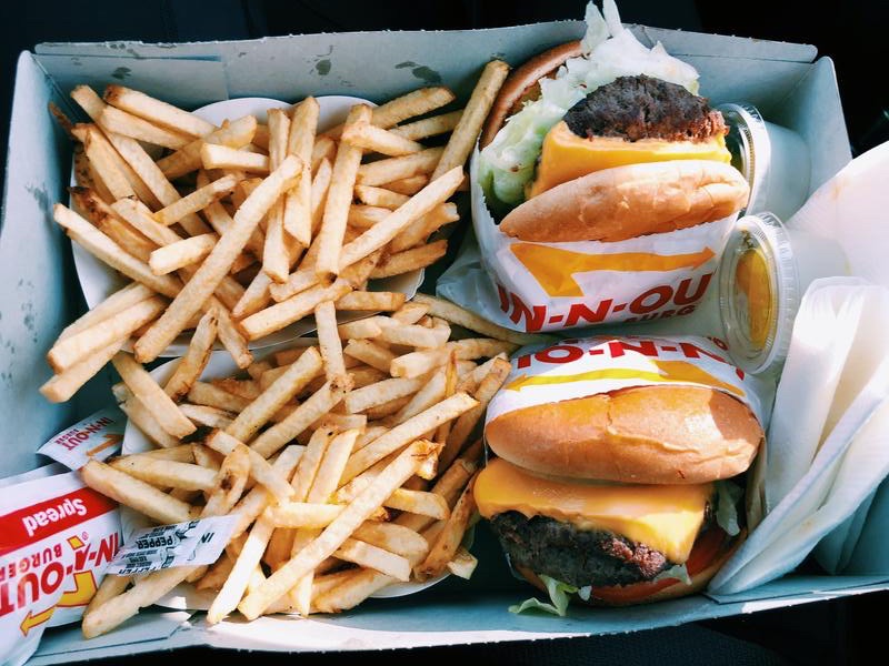
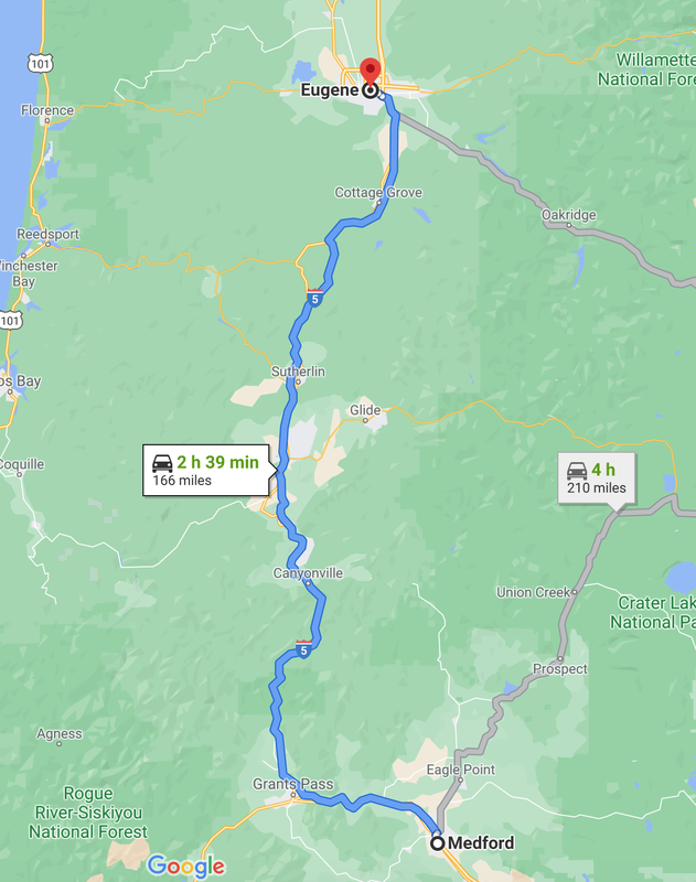
In Redding we decided to stop for dinner. Since we were in California we knew we had to eat at In-N-Out, one of my favorite fast food chains! Something about their burgers is just to die for...I think it's the sauce, the bun, the caramelized onions and the fact that they actually use big fresh ripe tomato slices etc. I just love In-N-Out and I savored every bite! After dinner we continued on to Medford which was about another 2.5 hours. It was very tempting to keep driving, since Eugene is really only another 2 hours and 40 minutes from Medford, but it was almost 9pm at this point and getting dark. I had been driving for over 10 hours and my eyes wouldn't be able to handle it.
|
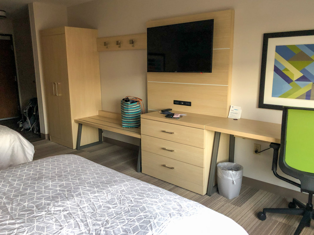
So we spent the night at one of my favorite hotels in Medford, the Holiday Inn Express & Suites. I love this hotel because it is new (as of February 2019) and it is incredibly clean and the beds are VERY comfortable! It is also super conveniently located close to on and off ramps so you don't have to drive all over town. There are also many eateries and stores within walking distance. We took advantage of the Starbucks across the street the next morning.
AUGUST 22, 2020 -
MEDFORD to Eugene
167 MILES DRIVEN
We got up semi-early and hit the road by 8am. We got breakfast and coffee at Starbucks and then drove the rest of the way back to Eugene and got home around 11.
Writing this post has given me a lot of time to reflect on the trip. It was the trip of a lifetime! I have never seen such immense beauty and scenery that makes you feel so small. The Sierra is truly God's masterpiece and it is wild and very remote. The Rae Lakes Loop was by far the hardest backpacking trip (physically) that I have ever been on and it served as a reminder to how fragile my body is and how small and inconsequential I am as a human compared to that vast landscape. It also really gave me some perspective into what the Pacific Crest Trail thru-hikers go through when they hike through the Sierra when there is still lots of snow on the ground and how dangerous this terrain is. To anyone who has never hiked or backpacked in the Sierra, I HIGHLY recommend it! It will change you.
Thanks for reading!
|
-This article was written in 2020-
|
o get a more in-depth and personal view of this hike, watch the YouTube video.
|

