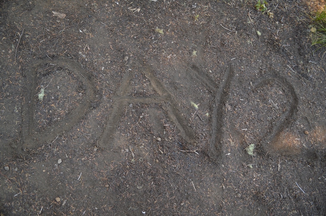
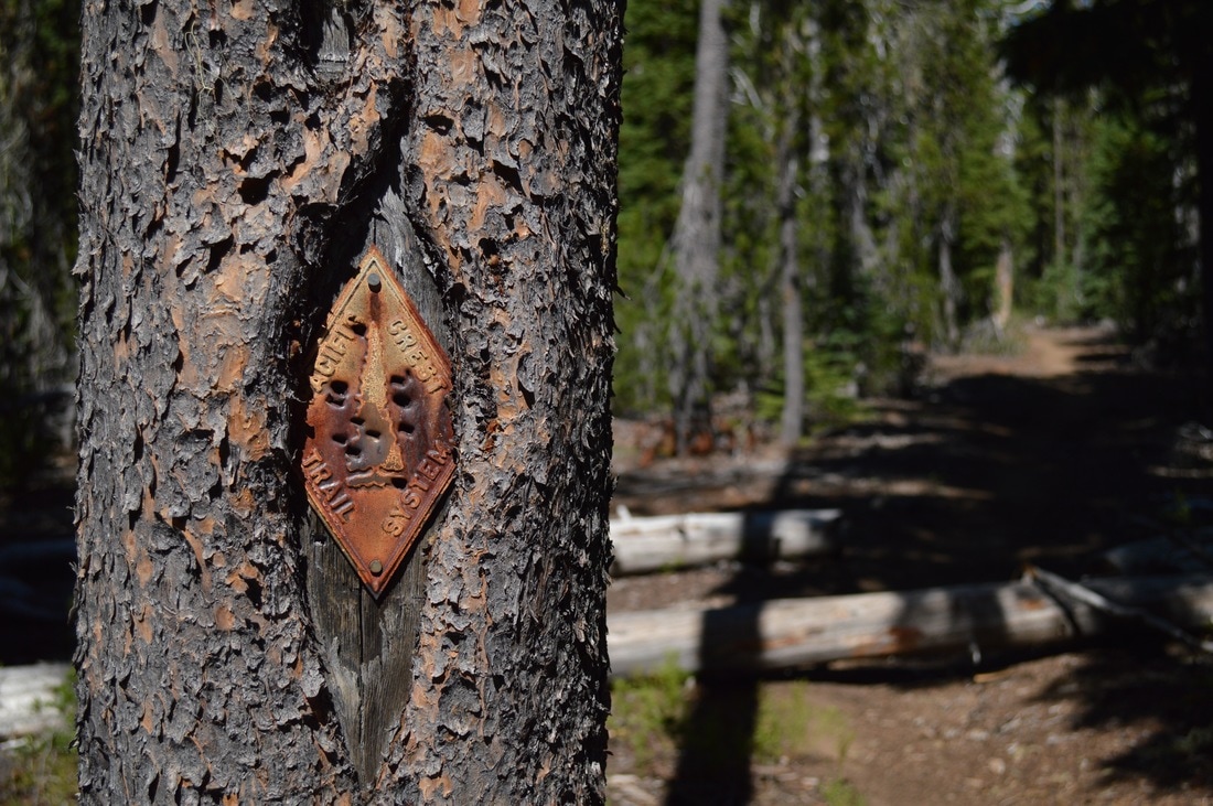
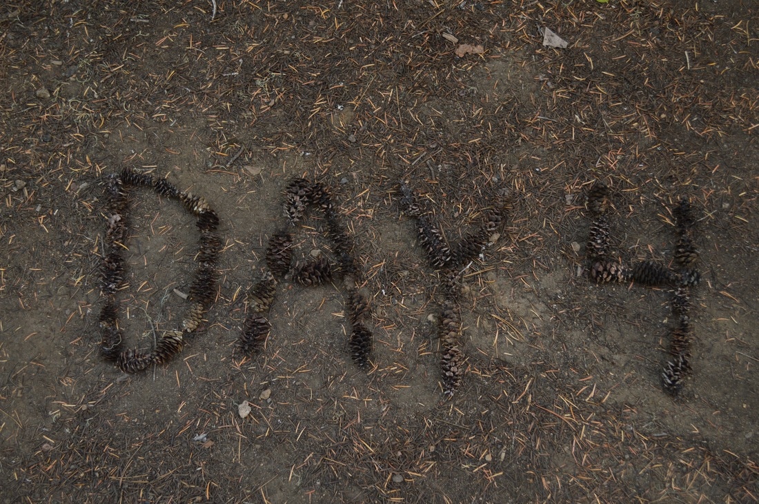
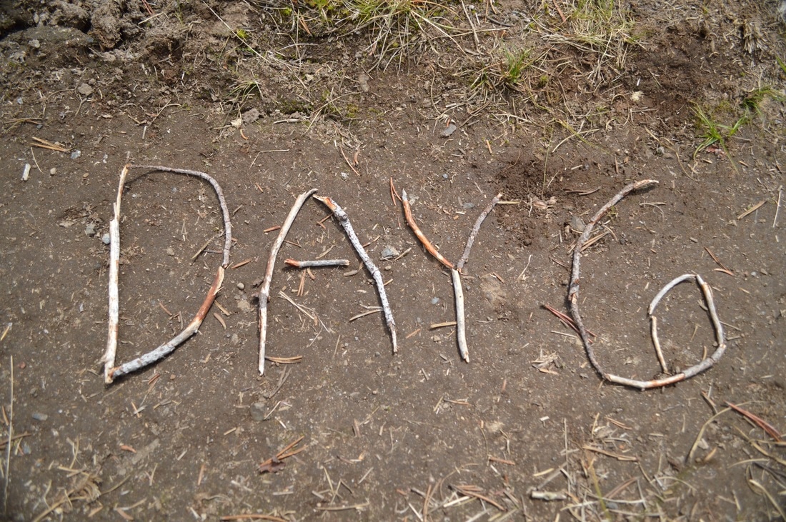
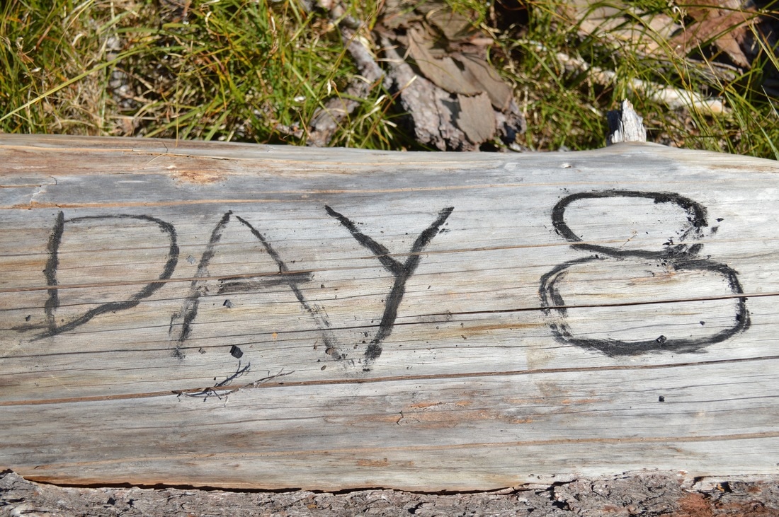
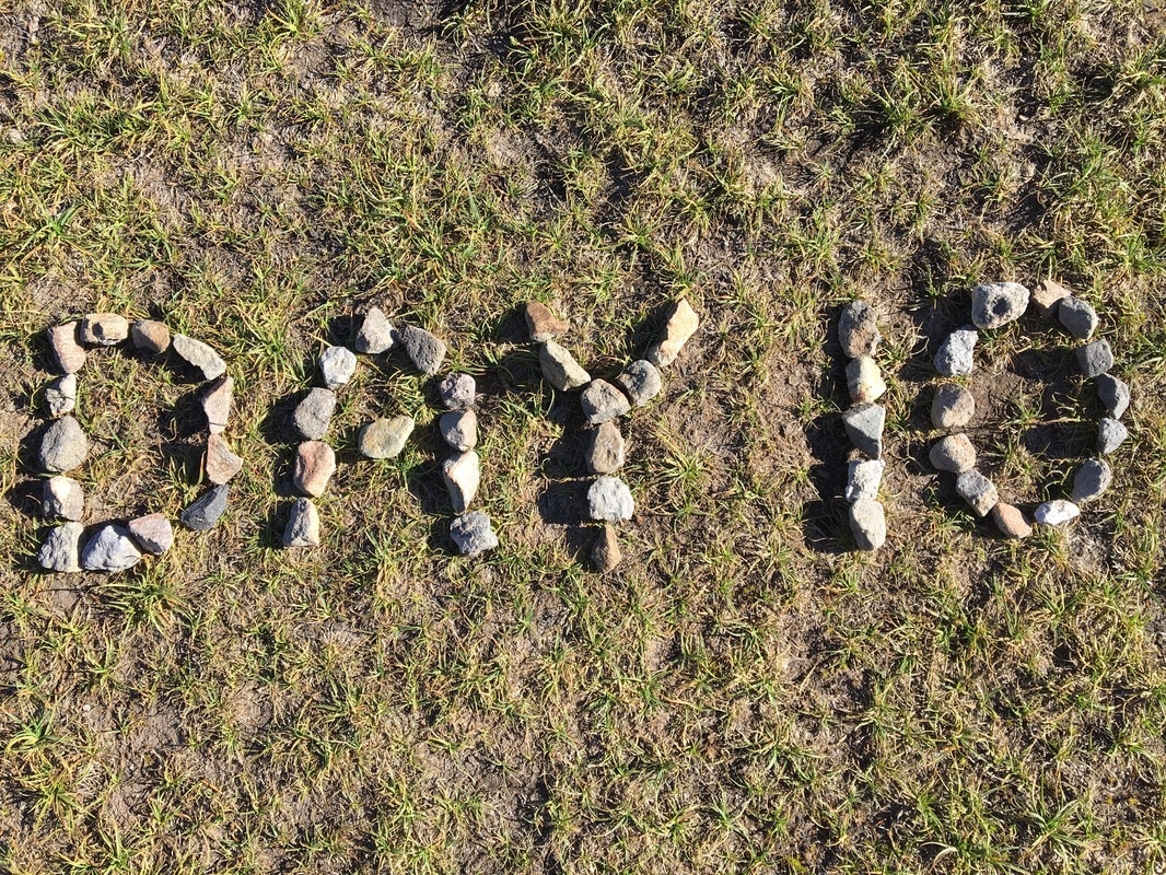
110 miles on the PCT
|
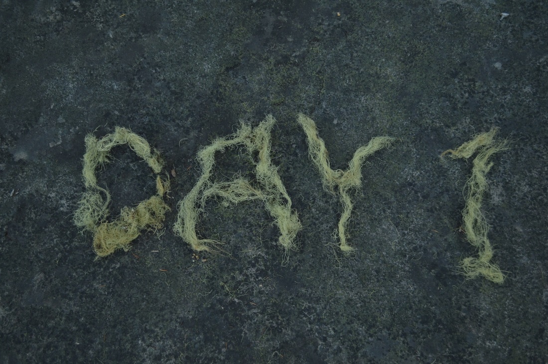
August 4, 2016-
|
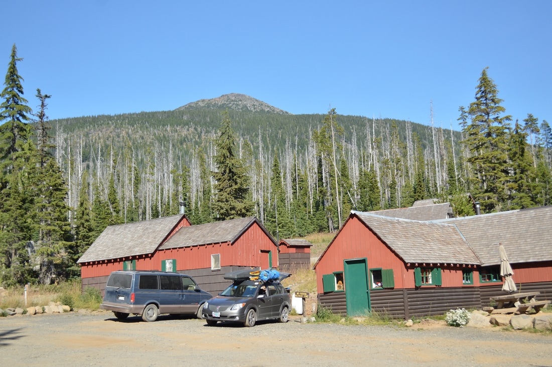
(PCT trailhead at Willamette Pass)
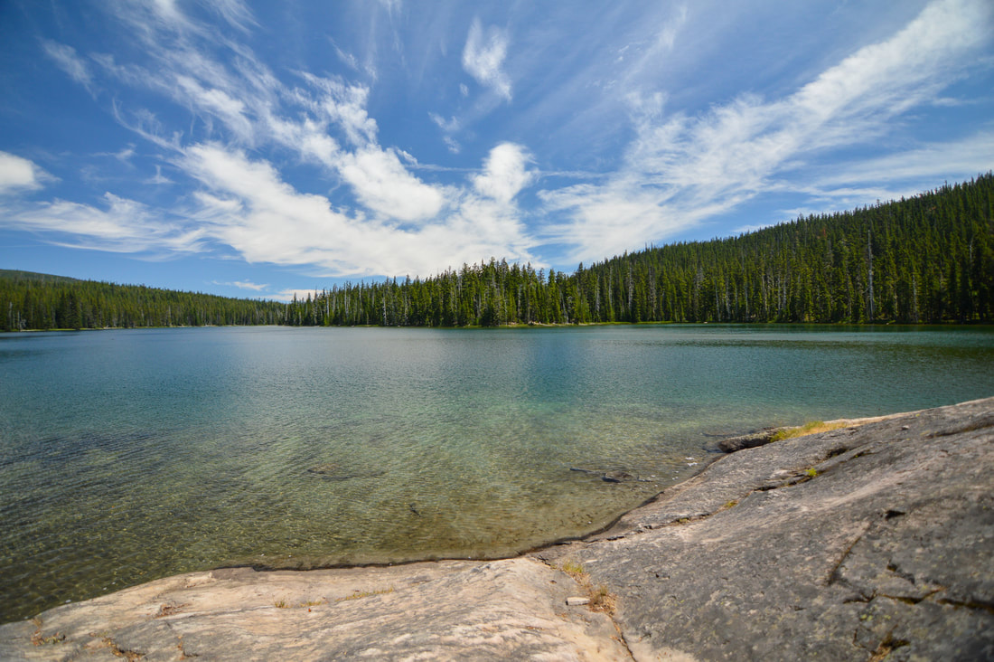
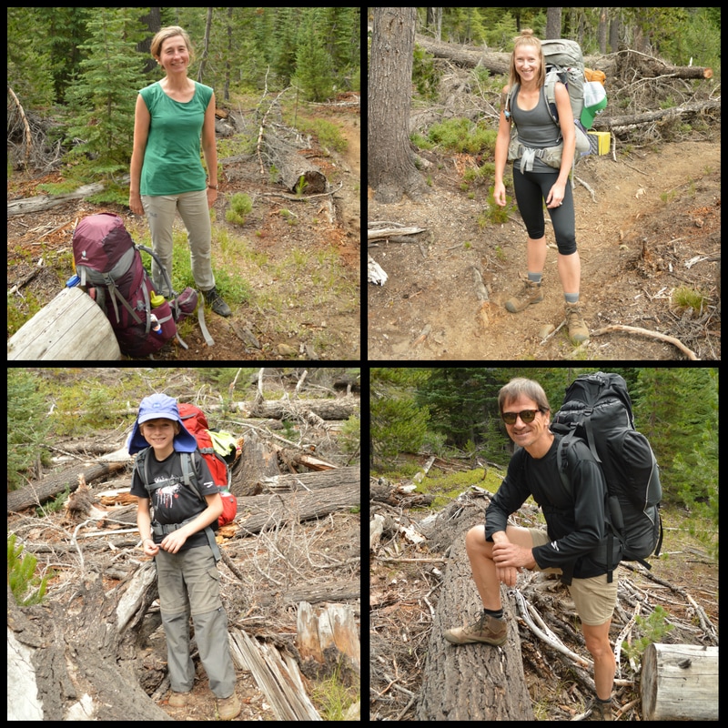
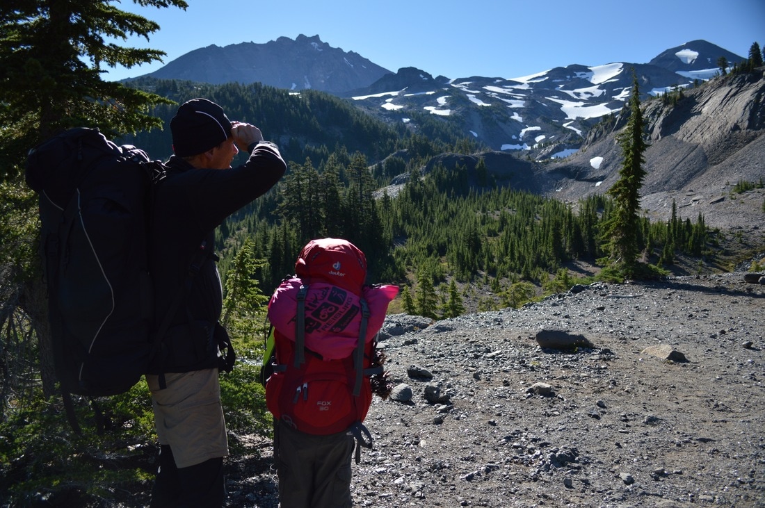
On the first morning we (my dad Gerd, my step mom Ute, my 8 year old brother Matthew, and myself) woke up at Odell Lake. We had gotten dropped off by my husband on August 3rd, and spent the night at Trapper Creek campground, so that we could get an early start on the Pacific Crest Trail.
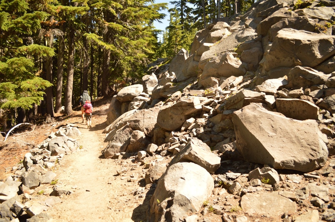
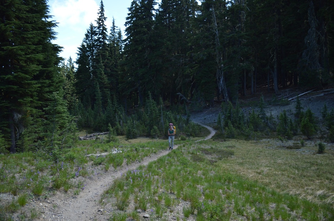
After getting our campsite packed up, we had to walk around the campground and ask someone with a truck for a ride up to the trailhead at Hwy. 58 (2+ miles up a very steep road from the campground). Luckily the first person I asked said that they would do it, and we, along with our packs, piled into the back of his big truck and headed up the hill with freezing morning air rushing through our hair!
After getting our campsite packed up, we had to walk around the campground and ask someone with a truck for a ride up to the trailhead at Hwy. 58 (2+ miles up a very steep road from the campground). Luckily the first person I asked said that they would do it, and we, along with our packs, piled into the back of his big truck and headed up the hill with freezing morning air rushing through our hair!
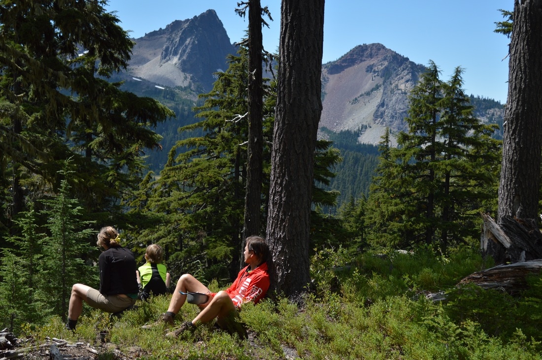
(enjoying a break at Middle Rosary Lake)
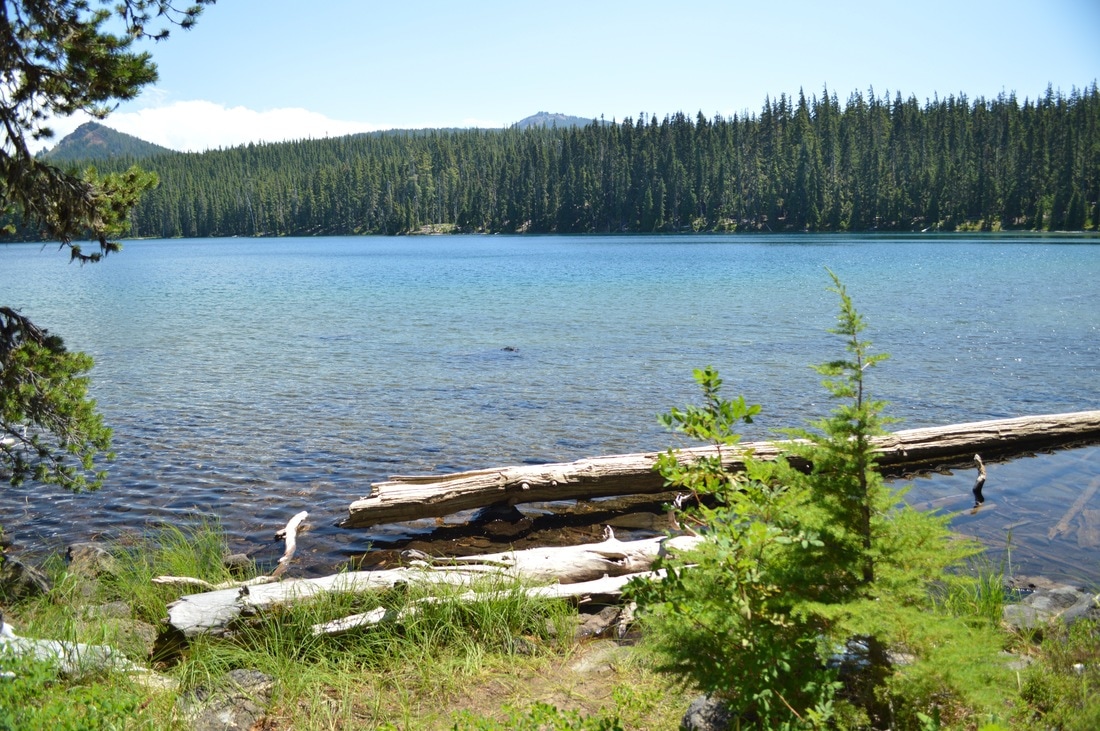
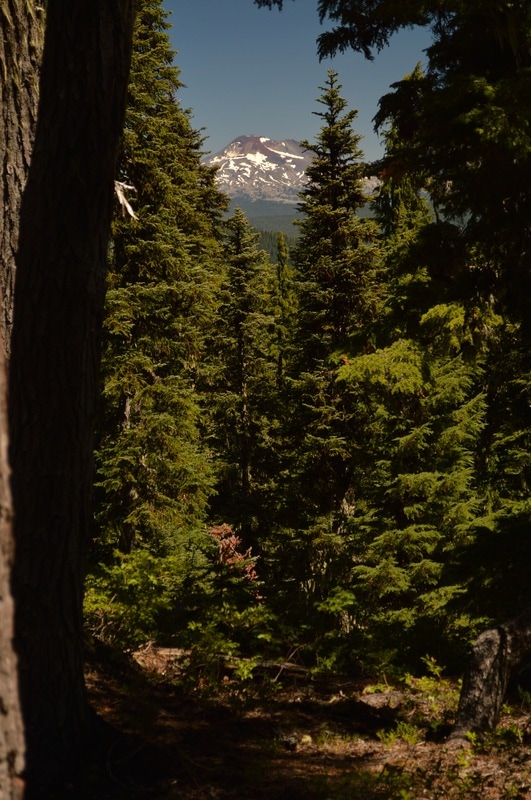
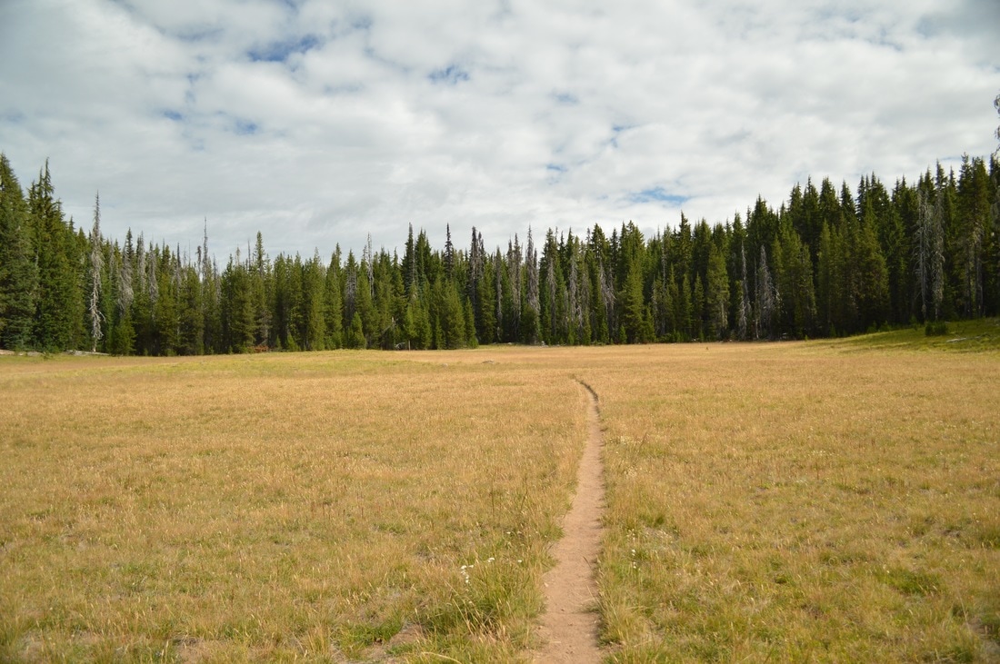
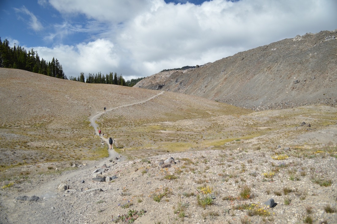
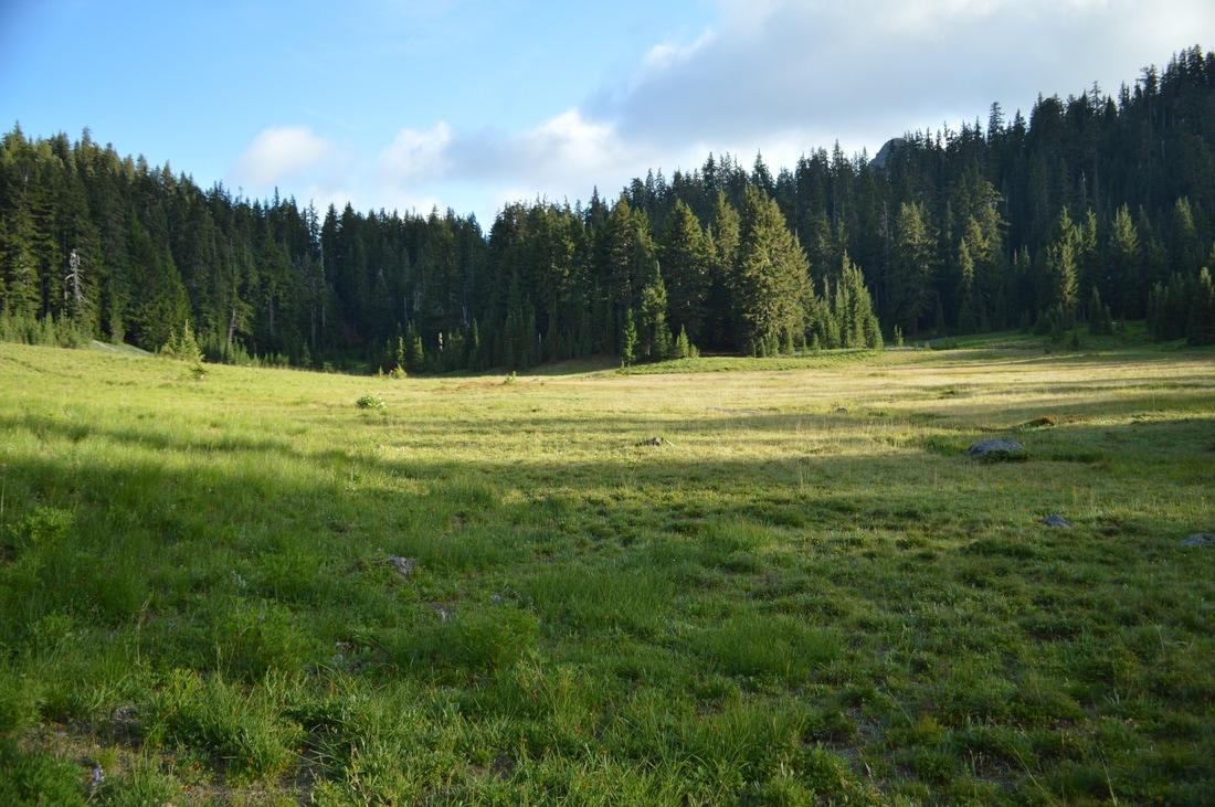
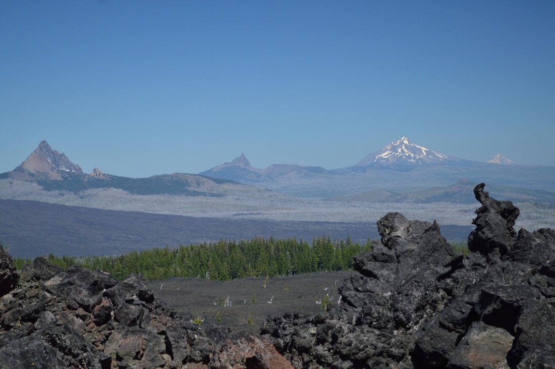
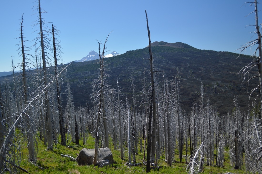
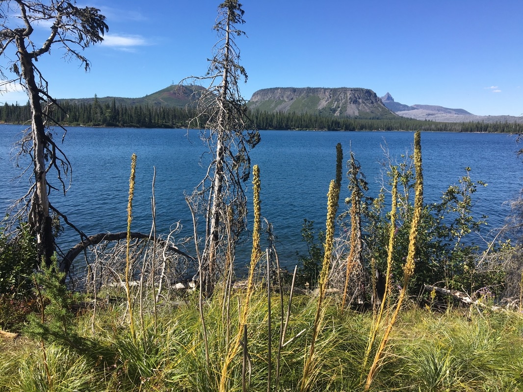
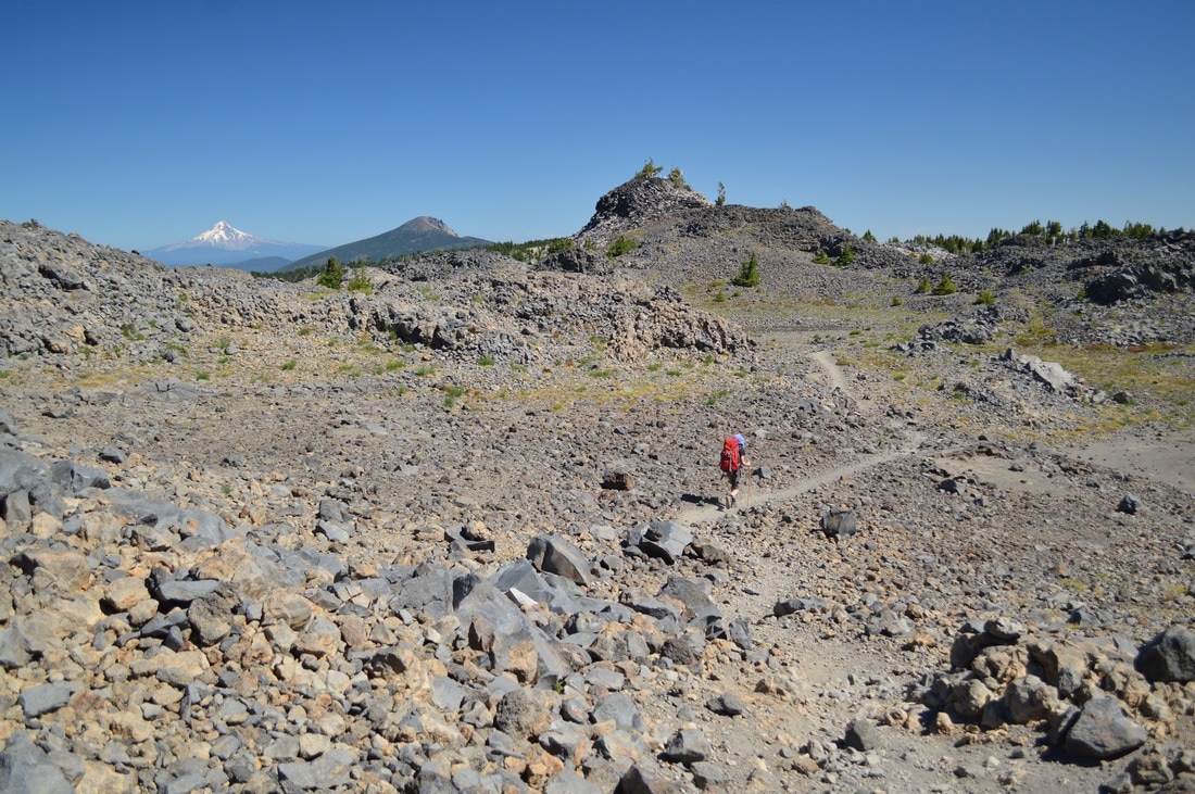
(Rosary Lakes, Pulpit Rock, Odell Lake, Summit Lake, and Diamond Peak in the distance)
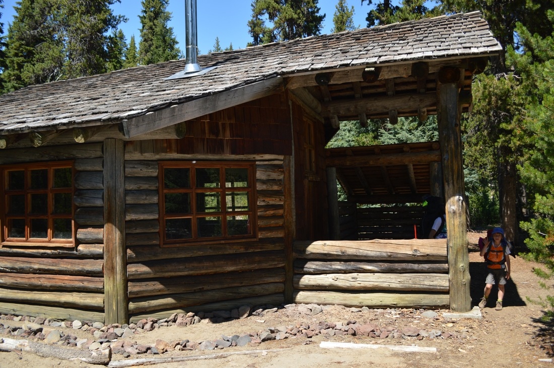
(lunch break at Maiden Peak Ski Shelter)
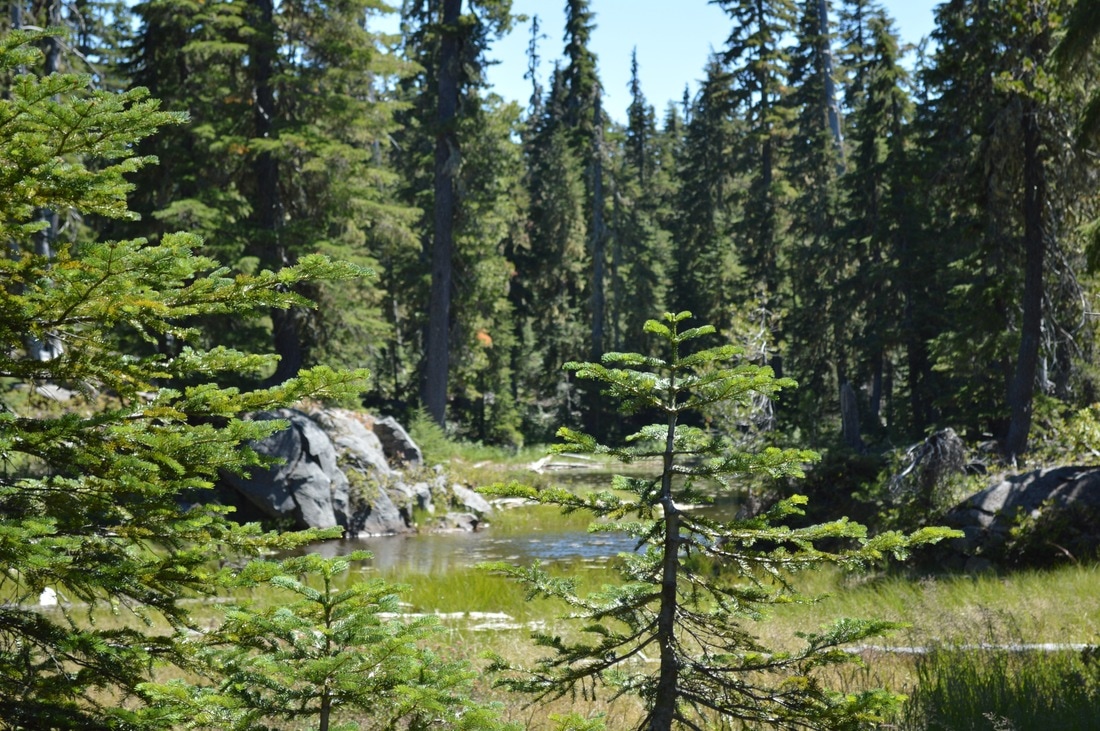
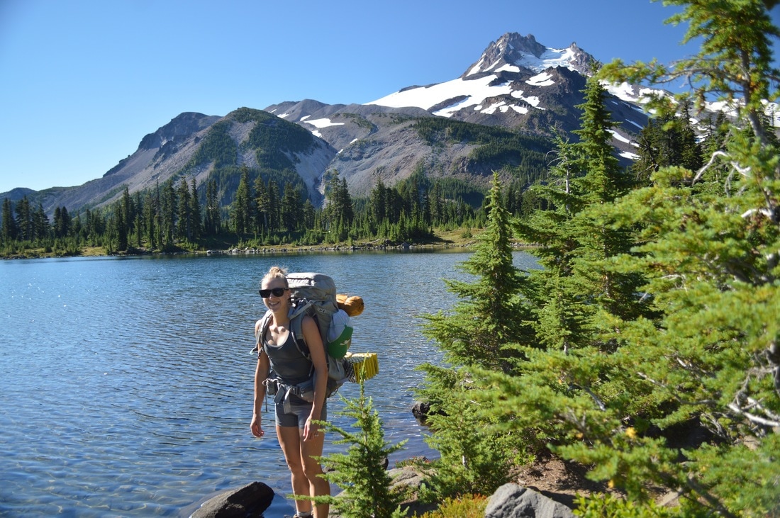
We hiked up past the three Rosary Lakes (where we took our first break), and then continued up the hill to Maiden Peak Ski Shelter where we took an extensive break for lunch. At this point we had hiked over 6 miles and we were already tired and were feeling the pain from carrying our heavy packs. We have 6 days worth of food with us, three tents, 2 cook stoves and pots, a solar charger, and each person was carrying their sleeping mat, sleeping bag, and clothes.
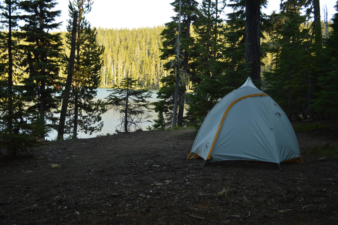
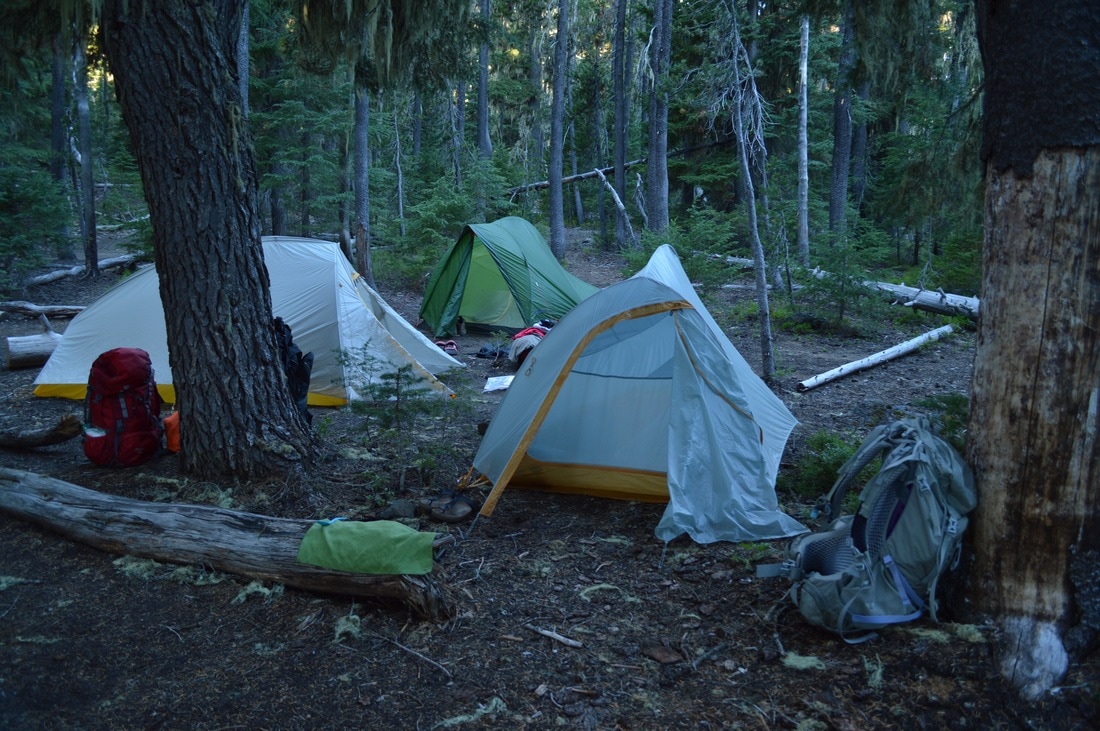
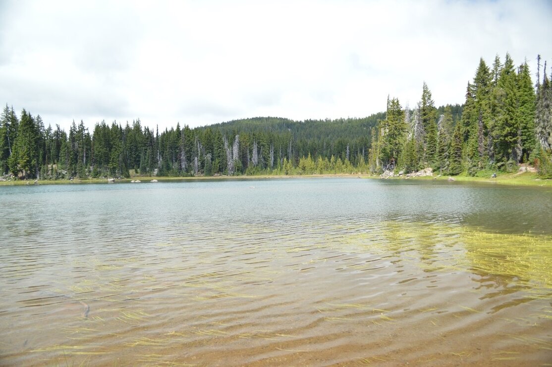
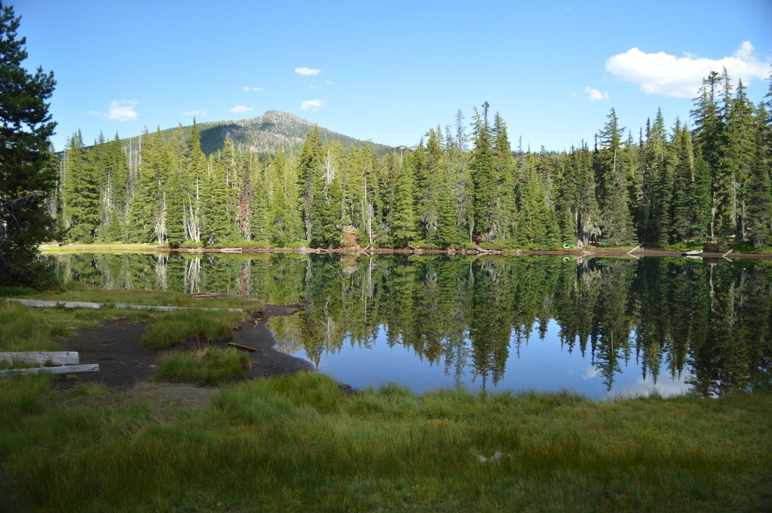
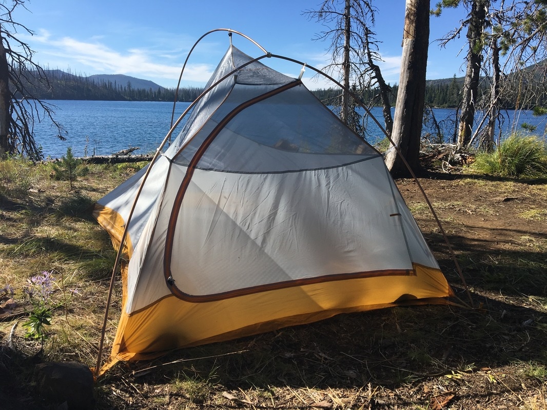
(my tent at Bobby Lake)
|
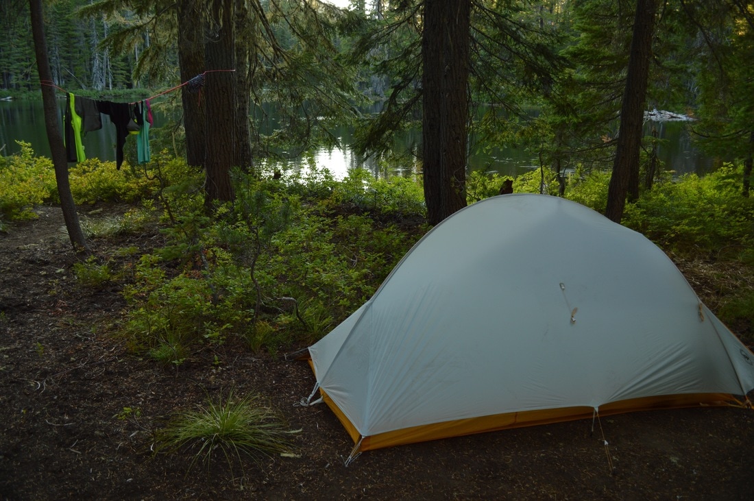
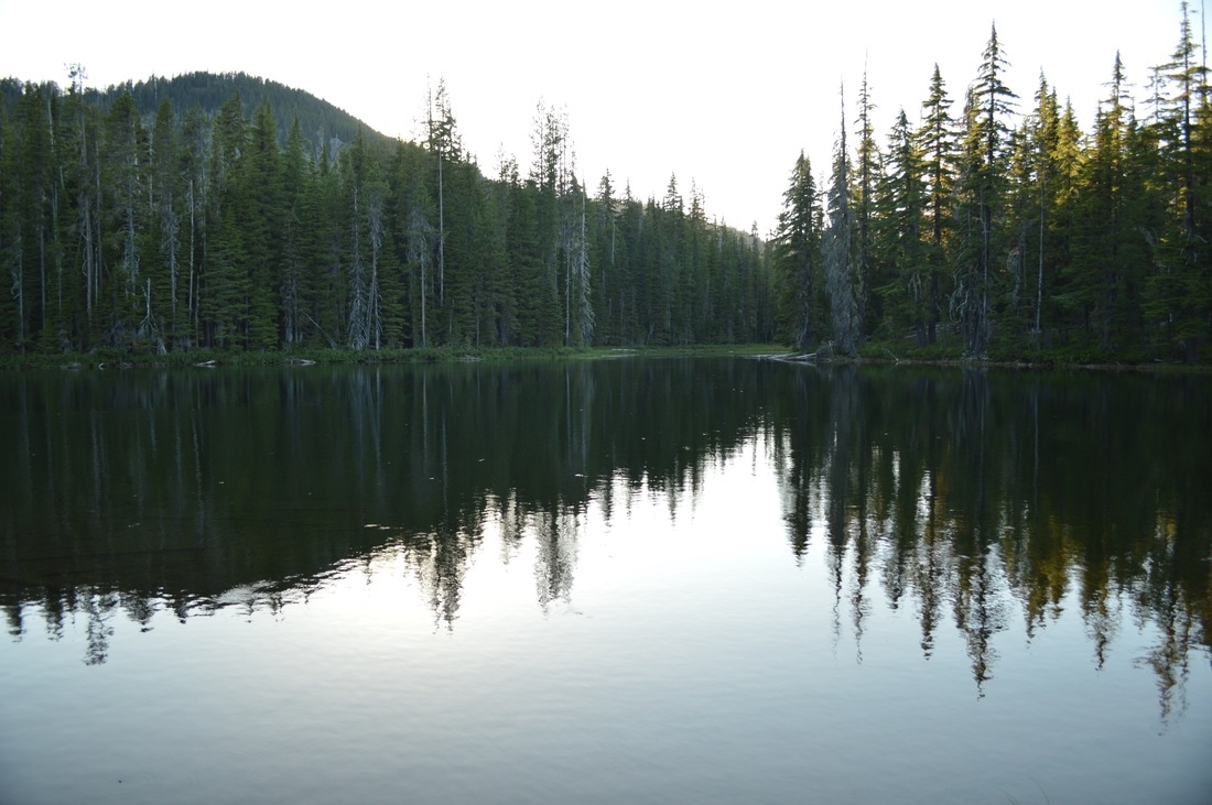
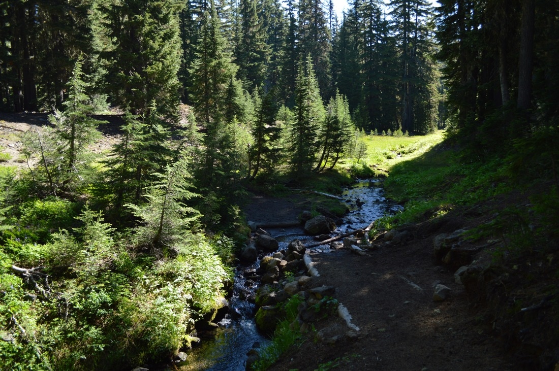
From Maiden Peak Ski Shelter we continued on through the forest to the Bobby Lake junction. It was another almost half mile to the lake, and then we continued walking around the lake a bit to find a nice camp site. Our site was beautiful, and we set up our tents before going for a swim at an awesome rock which went straight into the water and created a wonderful sandy lake floor.
During the early evening the mosquitoes were plaguing us with a vengeance so I crawled into my tent at 7:45pm, just so that I could get away from them! Feeling VERY out of my comfort zone on this first day. I was thinking "what have I gotten myself into?" |
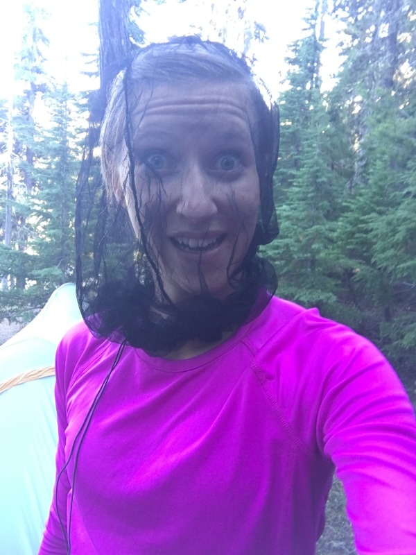
(mosquito head net was a MUST at Bobby Lake!)
|
(dinner and a sunset view at Bobby Lake)
|
August 5, 2016-
|
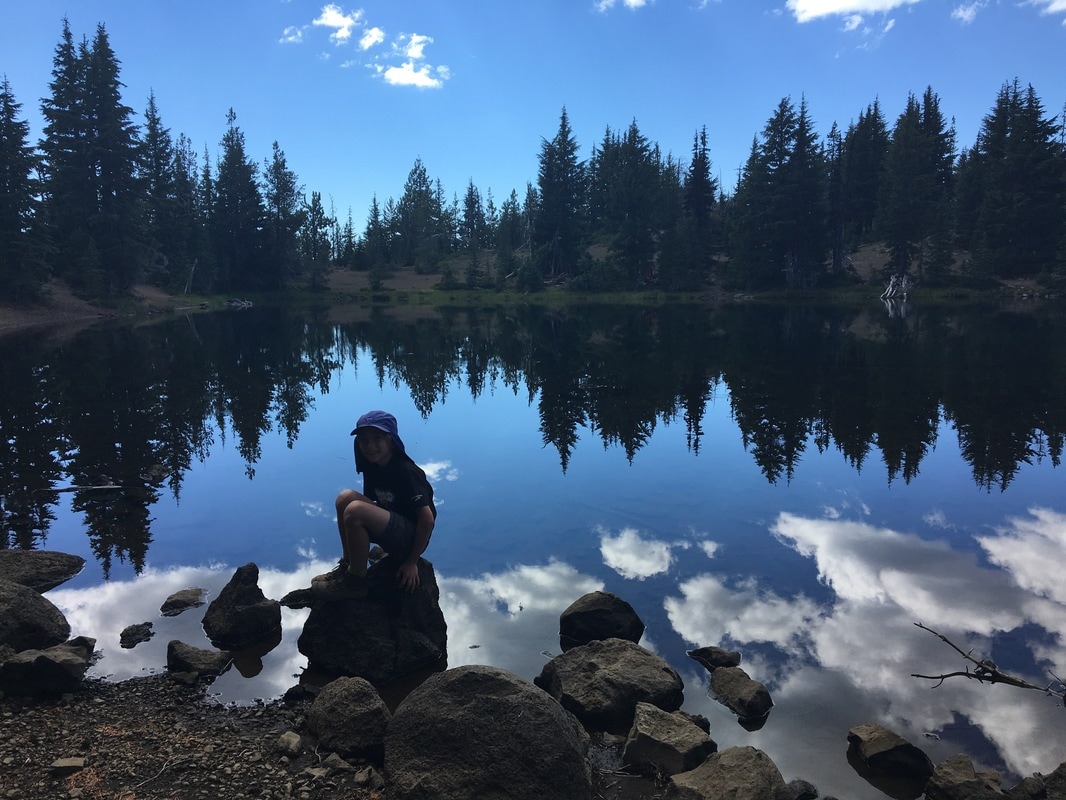
The night at Bobby Lake was absolutely beautiful! I woke up in the middle of the night due to what sounded like a little bit of rain, and so I left the tent to make sure everything outside was put away and dry. I was greeted by a clear sky and hundreds of stars! WOW! I don't think I have ever seen anything like that before.
We started hiking at 9:10am (team late start for the win on this trip), and we hiked 8 miles through the forest to Charlton Lake. We wanted to get the biggest chunk of our mileage out of the way before lunch. On our way we met NOBO (north-bound) thru-hiker by the trail name of Lefty. We hiked with her for a ways, while she told us why she was hiking the trail, how many miles she does on an average day, and what motivates her to keep going. We were very enthralled and loved every minute of hiking with her. But of course, her pace was about 5x faster than ours, so eventually she sped on ahead.
At Charlton Lake we took a 2 hour lunch break.
(lunch break at Charlton Lake)
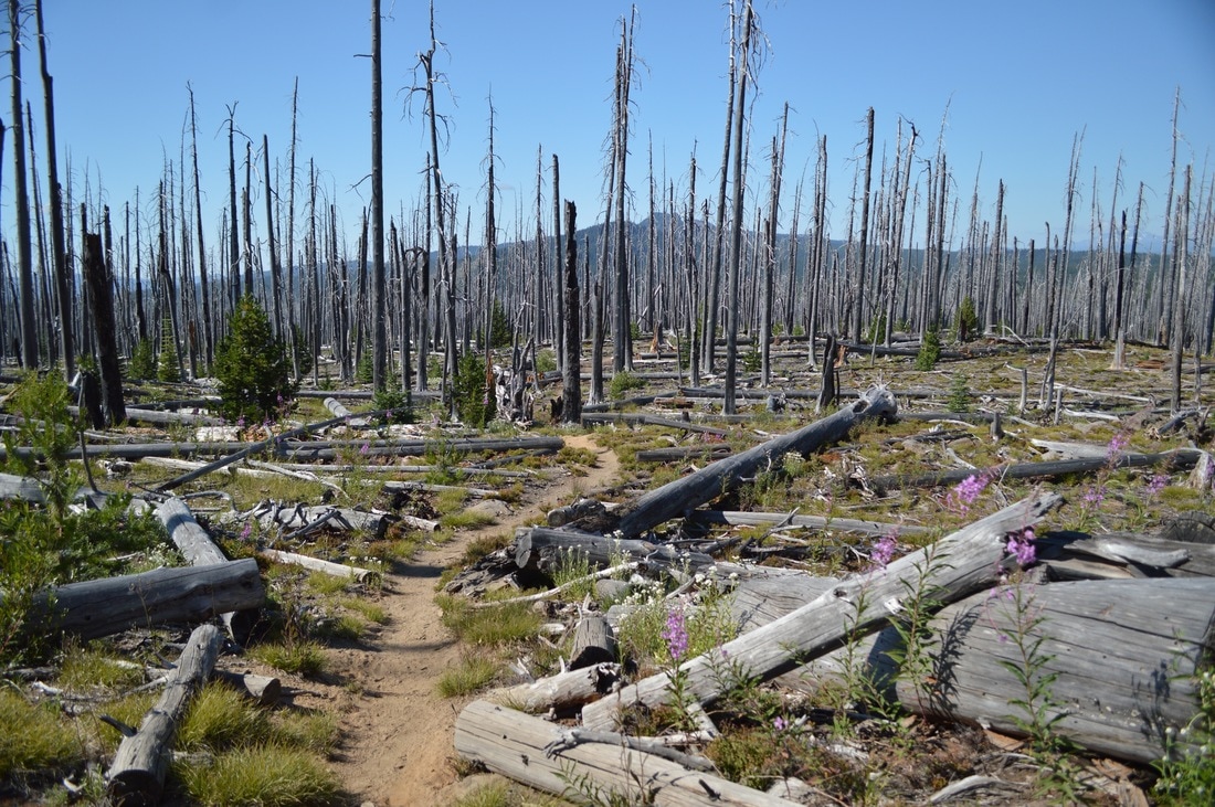
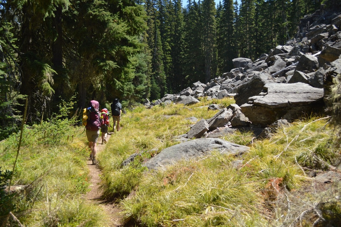
After lunch we continued on through a forest of beetle killed trees and hiked on a ridge from which we could see a huge thunder storm to the east of us. I was so concerned that the storm would migrate our way. There is nothing scarier to me than a summer thunder storm when you're amidst try trees!
The last 5 miles were hard! We met some SOBO (south-bound) thru-hikers along this stretch, one of whom was hiking something like 38 miles that day!!! We couldn't even imagine doing that!
Taylor Lake was nice, but a bit swampy, which made it hard to swim. I did rinse myself off a little bit though before cooking dinner. I ate the entire Backpacker's Pantry meal and I was still hungry as I went to bed at 8:30pm.
(all three of our tents aka "Hiker Trash" at Taylor Lake)
(Taylor Lake)
|
August 6, 2016-
|
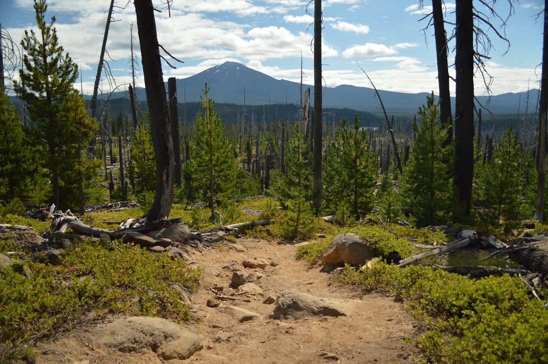
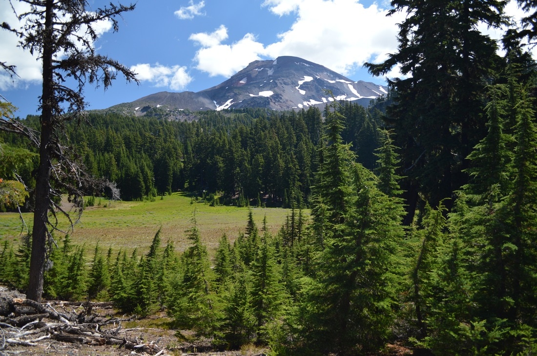
(first glimpse of South Sister)
|
I did not sleep well the previous night due to an animal sniffing at my tent. Because the woods are so quiet it of course sounded like a bear, but I'm assuming it was just a chipmunk. Either way, it freaked me out, and I didn't sleep for what felt like hours.
I got up at 6am because Matthew was awake, so I felt like I had to get going. But we didn't end up leaving Taylor Lake until 8:45am (team late start!) We hiked past Irish Lake, Riffle Lake, Brahma Lake, Jezebel Lake, Stormy Lake, and many other ponds without names. This section was the worst for mosquitoes and they continued throughout the entire day. We ate lunch after a climb to a ridge top, where we caught our first glimpse of South Sister in the distance, and there was a small reprieve from the mosquitoes. |
(Brahma Lake)
After lunch we hiked about 4 more miles, past Cougar Flat. Right after a trail junction with Snowshoe Lake trail, we came upon Desane Lake. This little lake had a little camp area with enough room for about 4 tents. Because we got there early, we were able to choose the prime spots for our 3 tents.
I was able to wash my clothes and my hair, and this small accomplishment made me feel great! I did end up getting some blisters on the bottom of my feet which were very large and painful due to them being underneath calluses. After my family had gone to bed, a SOBO section hiker came our way and asked if she could set up her tent next to mine. While she was setting up and eating her dinner, I asked her some questions on how she keeps going as a solo hiker. At this point, I was really struggling with being SO out of my comfort zone and I didn't know if I wanted to keep going.
I was able to wash my clothes and my hair, and this small accomplishment made me feel great! I did end up getting some blisters on the bottom of my feet which were very large and painful due to them being underneath calluses. After my family had gone to bed, a SOBO section hiker came our way and asked if she could set up her tent next to mine. While she was setting up and eating her dinner, I asked her some questions on how she keeps going as a solo hiker. At this point, I was really struggling with being SO out of my comfort zone and I didn't know if I wanted to keep going.
(my tent and laundry line at Desane Lake)
(sunset at Desane Lake)
|
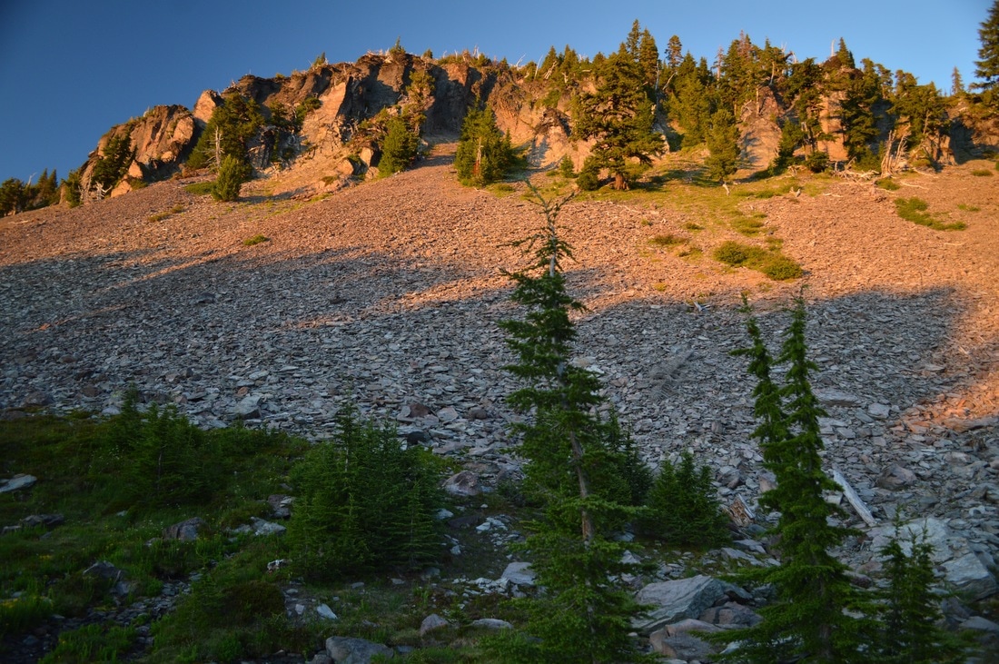
August 7, 2016-
|
This particular morning was an unexpected SUPER late start! One of my dad's sleeping pads sprung a leak and was flat in the morning, so they had to take it to the lake and figure out where the hole was so that they could patch it. I was already all packed up and ready to go while they were taking care of this. I was having a very hard time emotionally because it was my 5 year wedding anniversary on August 7th, and I wasn't spending it with my husband. Luckily, a very nice man named Jerry who was hiking the Oregon section NOBO, came and ate his lunch at Desane Lake and kept me company and helped distract me from my thoughts.
(Island Lake)
We finally started hiking around noon. Luckily the terrain was relatively easy, no steep ups or downs. We hiked past S lake, Mac Lake, Merrill Lake, Horseshoe Lake, Moody Lake, and Ledge Lake. After 4 miles we arrived at Reserve Meadow. There was a beautiful little creek there, so we decided to stop and eat lunch.
After lunch we continued on another 4.5 miles through this lake spotted wilderness. We passed Island Lake, and one of my favorites, Dumbbell Lake, as well as a multitude of small ponds.
After lunch we continued on another 4.5 miles through this lake spotted wilderness. We passed Island Lake, and one of my favorites, Dumbbell Lake, as well as a multitude of small ponds.
(the north side of Island Meadow)
(enjoying the sunset at Island Meadow)
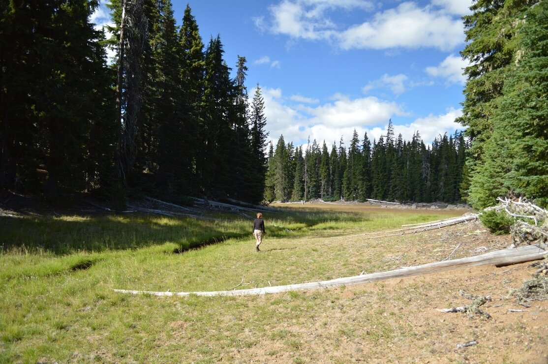
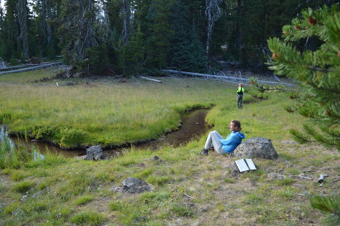
We arrived at Island Meadow at around 5pm. The meadow is huge, with a beautiful stream running through it. There are a few secluded areas to camp here that are off the trail. This is not the place to be if you want to get away from the mosquitoes, but the beauty was unbeatable! We set up camp, spent some time playing games in the stream, drawing and journaling, and watching the beautiful sunset across the meadow.
One of my favorite things about going to bed every night, was listening to my dad tell Matthew stories in the tent next to mine. I absolutely loved falling asleep like that!
One of my favorite things about going to bed every night, was listening to my dad tell Matthew stories in the tent next to mine. I absolutely loved falling asleep like that!
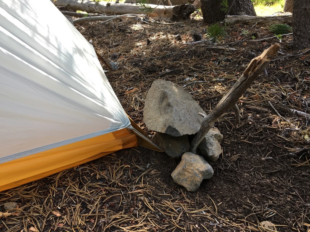
(when the ground is too soft for your short tent stake, you use a stick and rocks)
|
August 8, 2016-
|
Due to a gnarly infected mosquito bite that little Matthew had on his leg, we pushed our rest day up by one day. This ended up being a good idea, because later in the day it was a mere 46 degrees down at Elk Lake, and it was raining, which meant close to freezing temperatures up at higher elevation where we would have been had we continued that day!
So after another slow morning, we hiked the 3 miles down to Elk Lake Resort. At the resort they have cabins, a camp ground, a restaurant, and water activities. They have a shower that mainly caters to the thru-hikers that come through here to pick up their resupply packages. We had two packages to pick up ourselves, and as we opened them, we realized that we had WAY too much food! The main thing that I overpacked was nut mix. I did not snack nearly as much as I thought I would, but I would have preferred more meals so that I could have had a nice filling meal at lunch as well as dinner.
So after another slow morning, we hiked the 3 miles down to Elk Lake Resort. At the resort they have cabins, a camp ground, a restaurant, and water activities. They have a shower that mainly caters to the thru-hikers that come through here to pick up their resupply packages. We had two packages to pick up ourselves, and as we opened them, we realized that we had WAY too much food! The main thing that I overpacked was nut mix. I did not snack nearly as much as I thought I would, but I would have preferred more meals so that I could have had a nice filling meal at lunch as well as dinner.
(trail junction down to Elk Lake w/ Mt. Bachelor in the background)
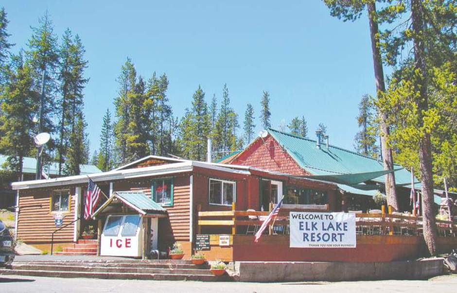
(Elk Lake Lodge- photo courtesy of the Bend Bulletin)
We basically spent the day on the deck of Elk Lake Lodge. Jerry was there and came to join us at our table. We ended up ordering big spinach salads and some baskets of fries. YUM! As it started raining in the late afternoon, we headed inside to their game and library room. Here we played some games, I mapped out the next few days' mileage, and we all took showers. I never knew a shower could be so delicious!!! I met NOBO hikers Padma and Carly, who were hiking the Oregon section as their honeymoon. I really connected with these two lovely ladies, and they really gave me a new outlook on this experience.
We turned in well after dark, and it ended up raining on our tents almost all night.
We turned in well after dark, and it ended up raining on our tents almost all night.
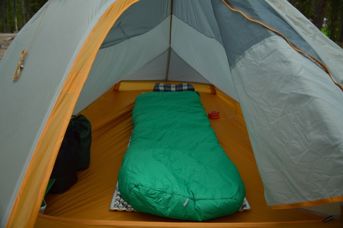
(my tent set up at Elk Lake campground)
|
August 9, 2016-
|
On this day I was feeling much better. I was finally starting to relish getting out of my comfort zone and enjoying the experience a little more.
We got up at 6:30am, went down near the lodge, where they have picnic tables set up with canopies over them. This was nice to cook our breakfast under. We watched the better weather roll in slowly, and started hiking at 10am.
We got up at 6:30am, went down near the lodge, where they have picnic tables set up with canopies over them. This was nice to cook our breakfast under. We watched the better weather roll in slowly, and started hiking at 10am.
(view of Elk Lake from Koosah Mountain)
The first part of our 10.4 mile day was challenging, as we climbed 5.5 miles up Koosah Mountain. We ate lunch at Sisters Mirror Lake, and I was getting really antsy and excited because I knew that we were about to get some amazing mountain views!
(lunch break at Sisters Mirror Lake)
|
|
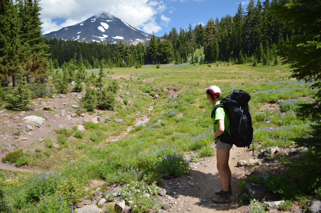
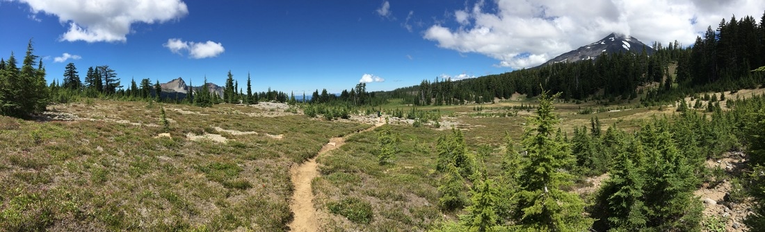
The next 5 miles didn't seem nearly as long because we had views of South Sister in front of us nearly the whole time! As we crossed Wickiup Plain, we were passed by several speedy NOBO thru-hikers. I remember being amazed at how big this one guy's legs were. They were just pure muscle! My little brother Matthew thought it would be fun to try and follow one of the hikers to see if he could keep up, but was quickly left in the dust. We were continually amazed at how fast they all walk!
(Rock Mesa)
As we walked past the Rock Mesa of South Sister, we all felt this incredible energy, power and force coming from the mountain. It was amazing!
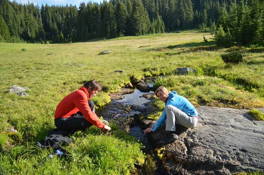
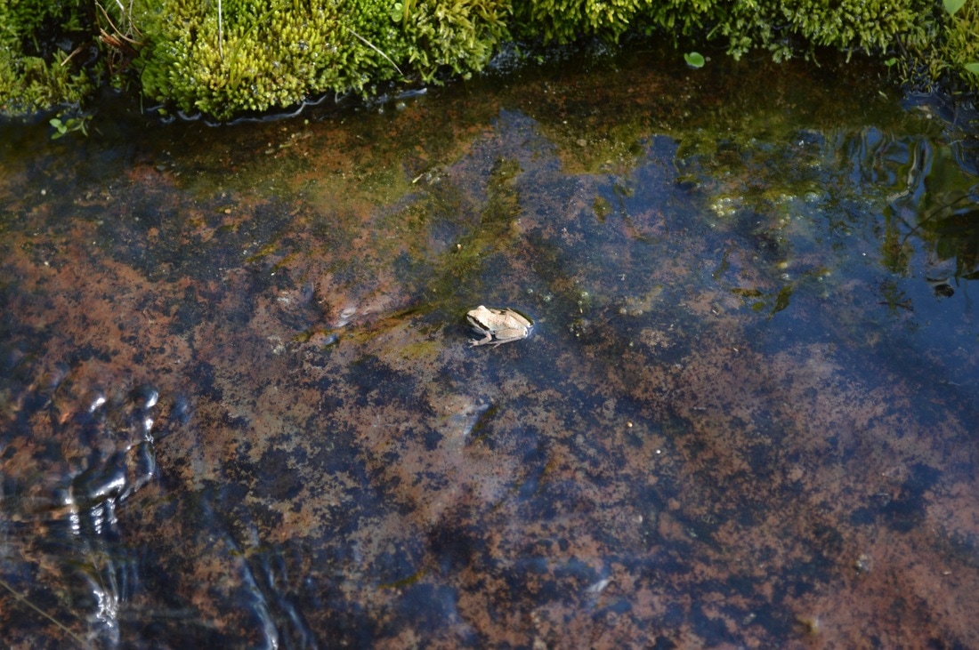
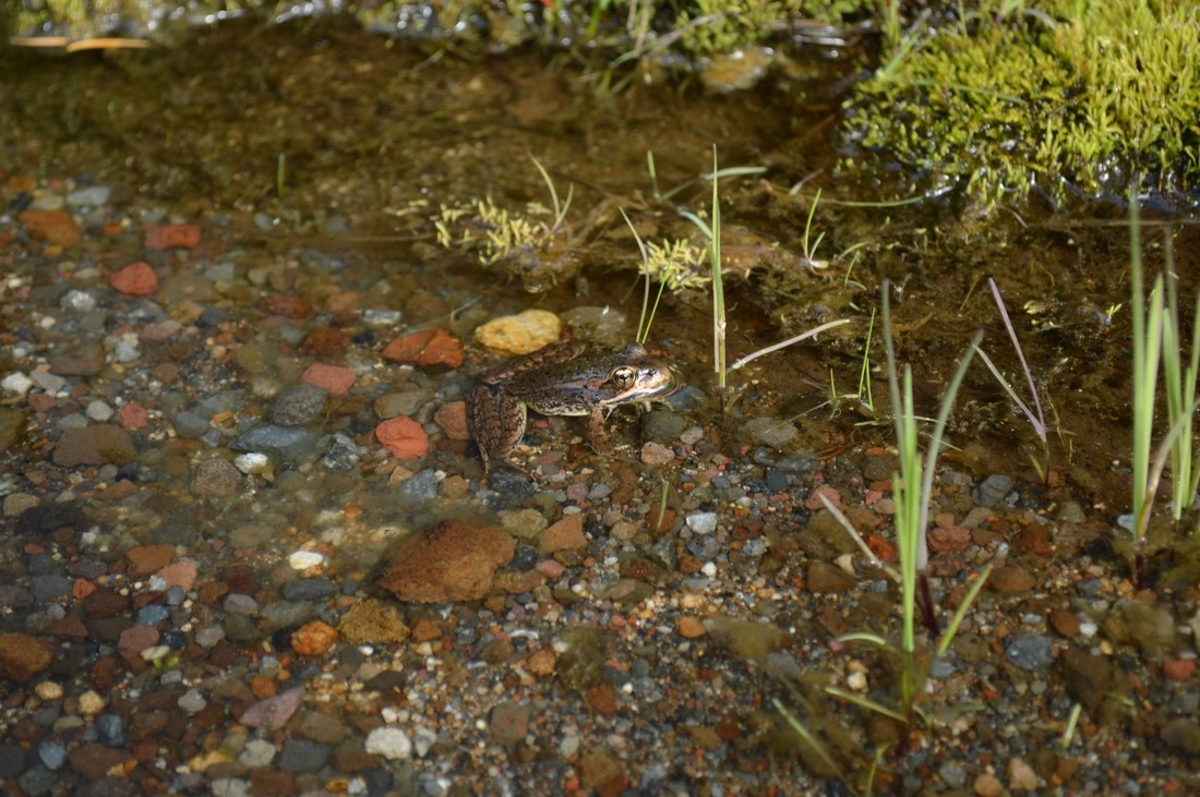
We camped at another amazing meadow called Mesa Springs. This meadow had these awesome large flat rocks which were perfect for drying stuff out on, and sitting on while pumping water from the stream. We saw a few frogs in the stream, and as I ate dinner in the sun-filled meadow, I saw a deer grazing near the trees.
We camped at another amazing meadow called Mesa Springs. This meadow had these awesome large flat rocks which were perfect for drying stuff out on, and sitting on while pumping water from the stream. We saw a few frogs in the stream, and as I ate dinner in the sun-filled meadow, I saw a deer grazing near the trees.
|
August 10, 2016-
|
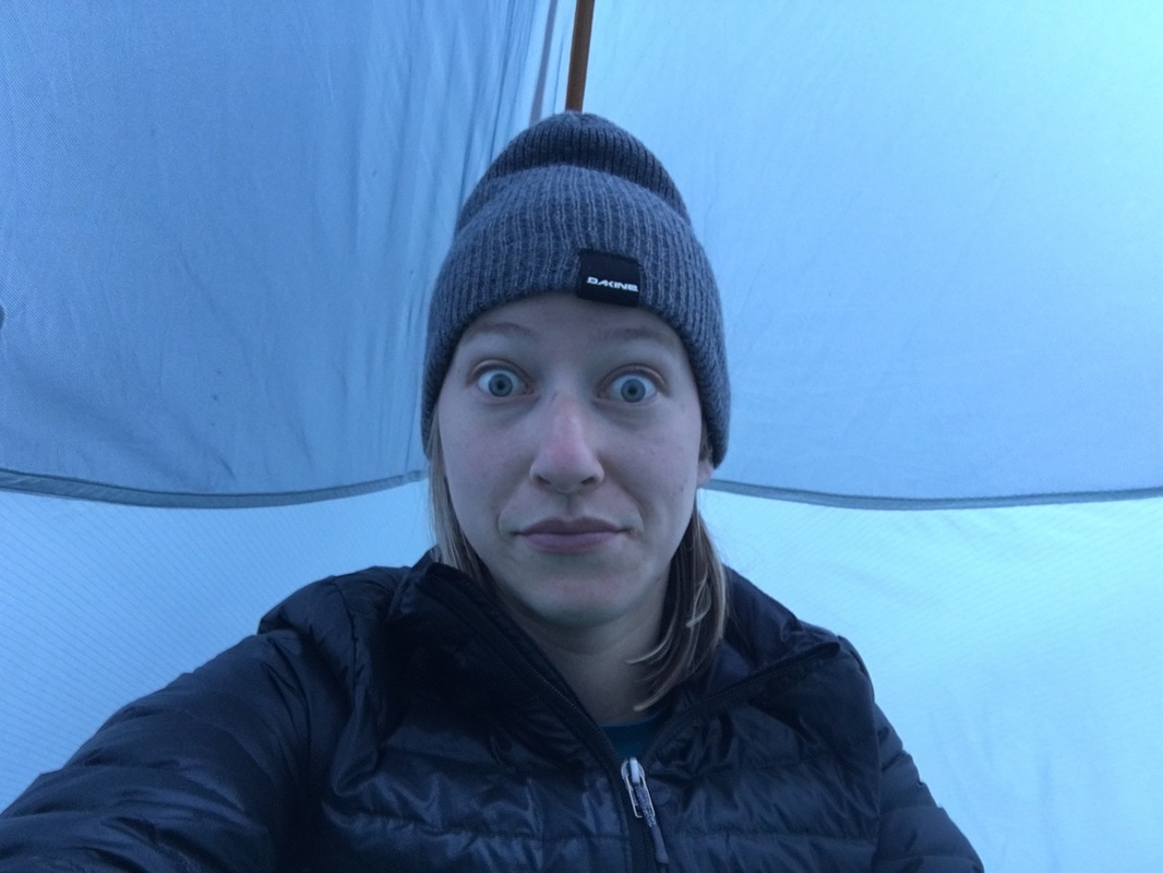
(wake up face in my tent at 6am)
Now I was really starting to love the process and the journey. Every morning I got up, had my routine, I always packed things in the same order, took down my tent the same way, and I no longer cared that I was dirty or smelly. This was a beautiful thing!
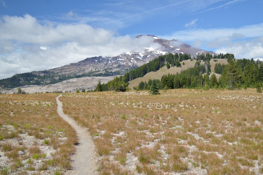
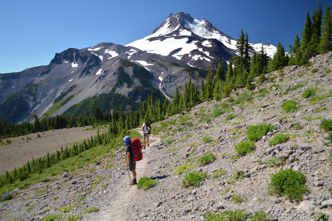
Because my family did not have a routine, nor did they always pack things the same way, it meant that we always got quite a late start. On this particular day we departed Mesa Springs at 10:30am. We hiked through the forest, across some meadows and streams, and for most of the day we had beautiful views of South and Middle Sister to our right.
Because my family did not have a routine, nor did they always pack things the same way, it meant that we always got quite a late start. On this particular day we departed Mesa Springs at 10:30am. We hiked through the forest, across some meadows and streams, and for most of the day we had beautiful views of South and Middle Sister to our right.
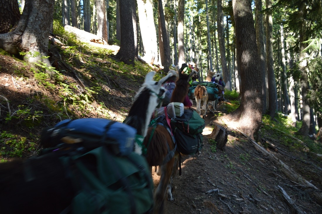
(a herd of pack Llamas on the Pacific Crest Trail)
(South Sister)
|
(Middle Sister)
|
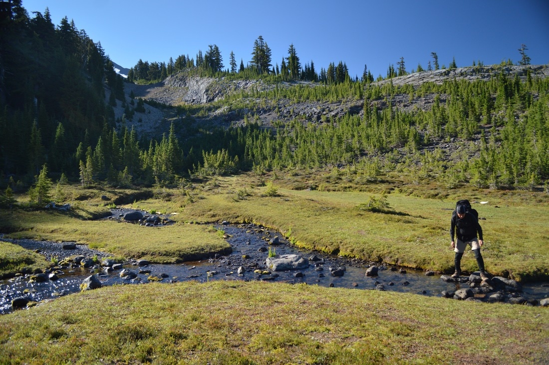
We ended up stopped at Hinton Creek for a little snack break and for my dad to filter some water, and then we continued on a few more miles to an awesome high point where we got a great view of a mountain called The Husband.
(The Husband and Middle Sister)
(lunch break with a great view of The Husband)
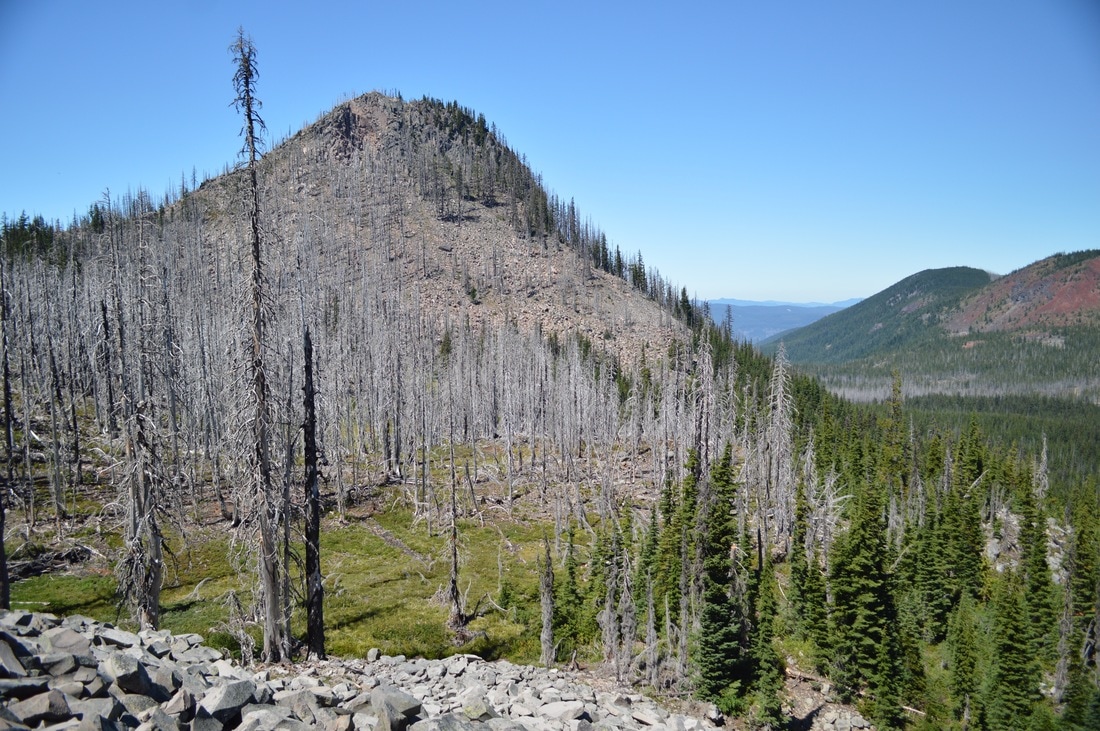
For some reason the 9.3 miles on this day were much harder than the previous day's 10.3 miles. I think it had something to do with the fact that it was very warm, and the terrain was definitely getting more rugged as we headed up to the Obsidian Limited Entry Area.
(South and Middle Sister)
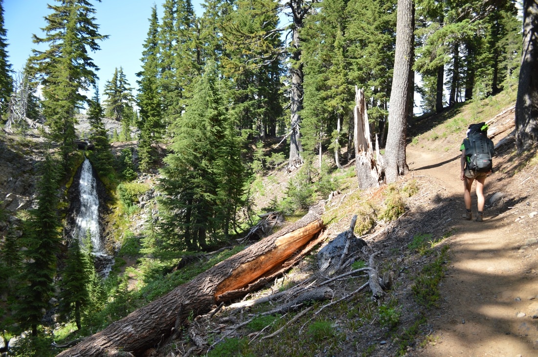
(hiking by Obsidian Falls)
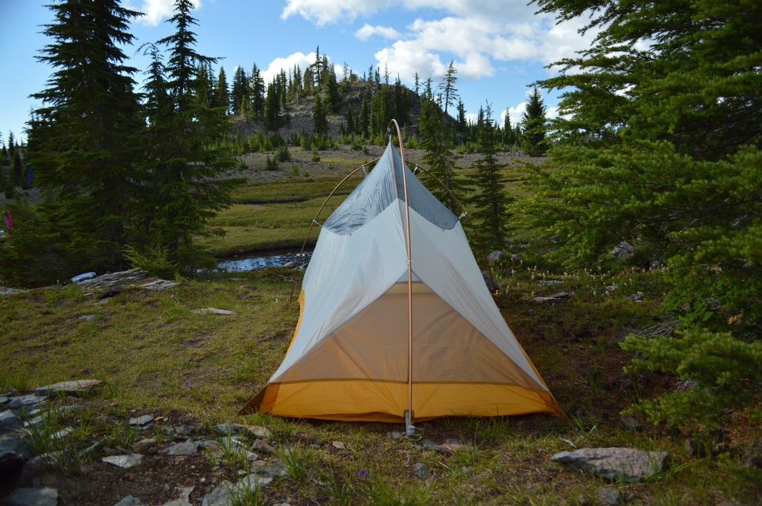
(my tent set up at Sister Spring)
I had purchased a permit for the Obsidian Limited Entry Area, so that we could spend the night there. We arrived at Sister Spring at around 5:30pm which was the perfect time to set up camp, wash some clothes and still have enough light to hang them up to dry. This was by far my favorite camp site, and I enjoyed hearing the funny chirp of the Pikas that lived in the rocks on the hill next to our camp.
I think about this particular afternoon very often in my every day life. It was my favorite afternoon of the whole trip!
I got up in the middle of the night and looked at the stars. It was a magical experience and I have honestly never felt so small!
I think about this particular afternoon very often in my every day life. It was my favorite afternoon of the whole trip!
I got up in the middle of the night and looked at the stars. It was a magical experience and I have honestly never felt so small!
|
August 11, 2016-
|
(departing from our campsite at Sister Spring)
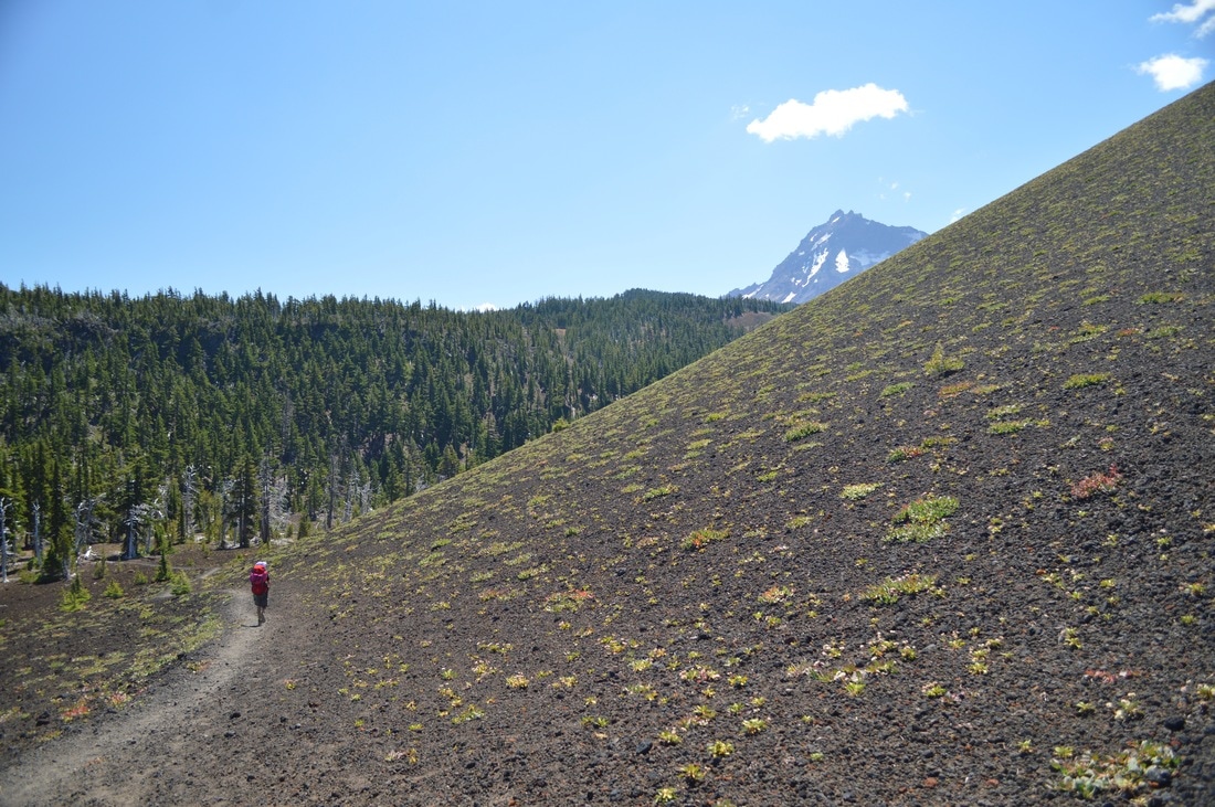
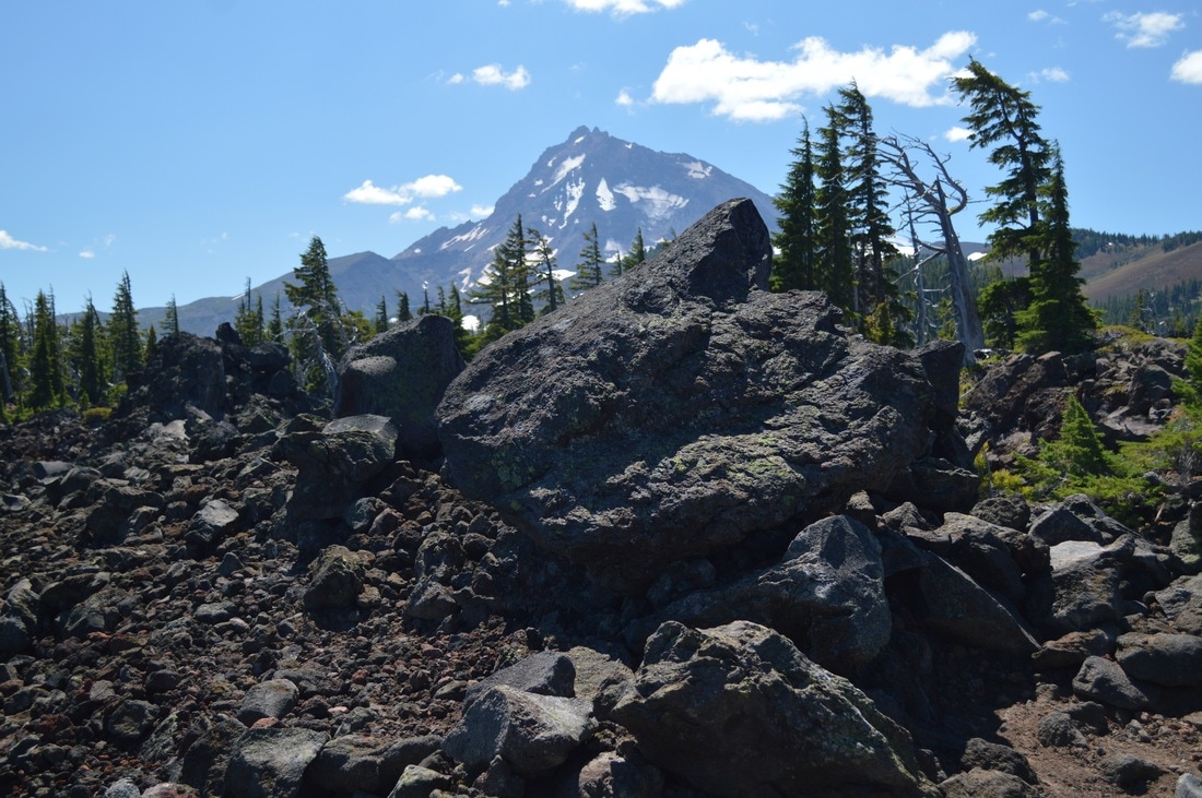
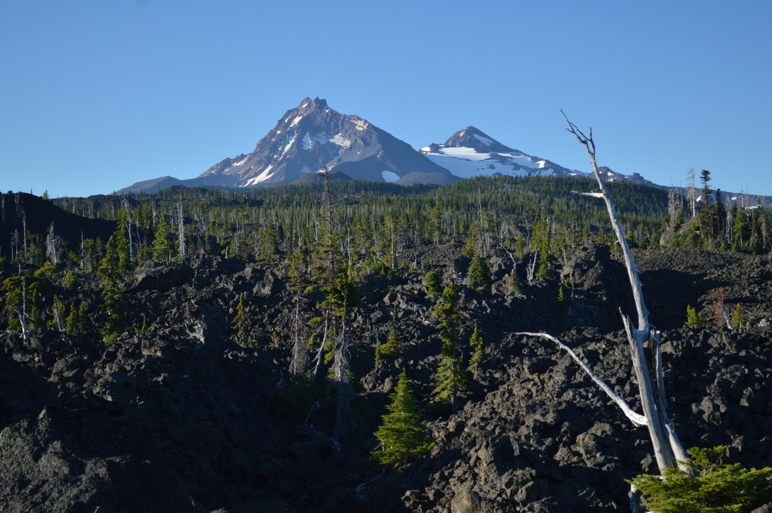
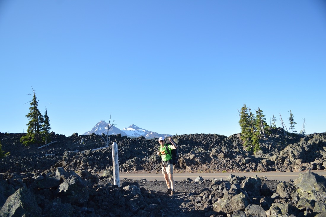
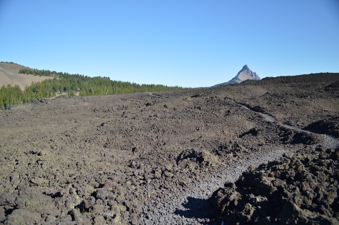
We knew that this day was one of the two days where we had to cross lava fields, so we set out as early as we could, and we managed to get started at 8:50am. We hiked past the shiny and sharp obsidian fields, and reached a point where we could see Mt. Washington and Mt. Jefferson for the first time. It was very exciting to see where we were headed!
(Obsidian limited entry area)
|
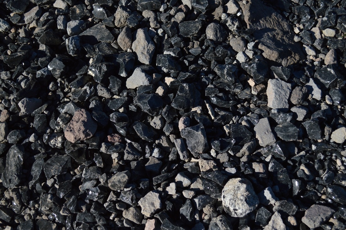
(large pieces of obsidian make up the trail)
|
(looking at North and Middle Sister)
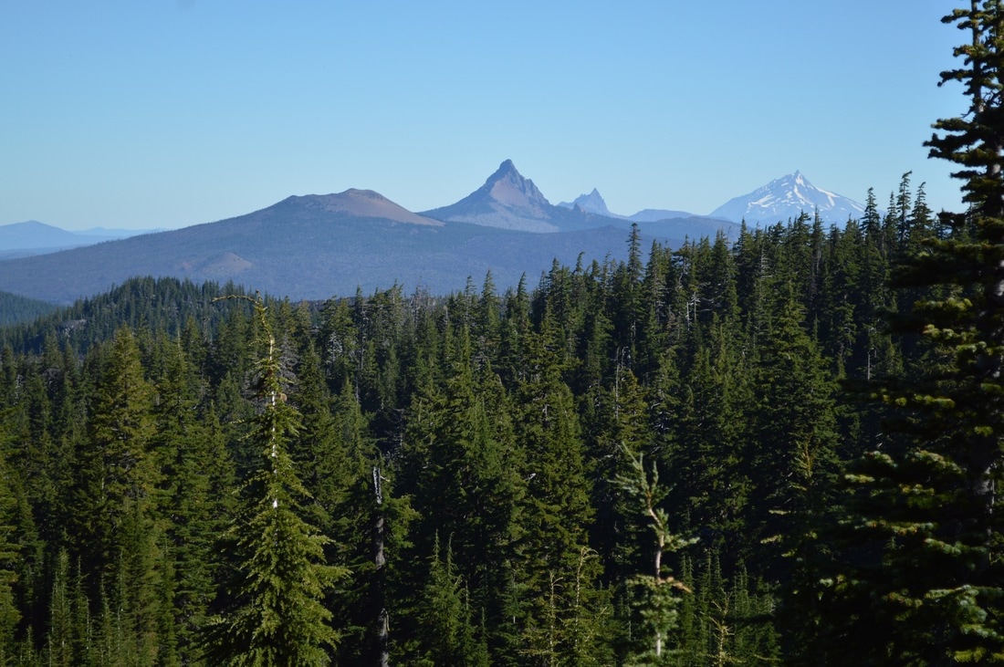
(first glimpses of Mt. Washington, Three Finger Jack, and Mt. Jefferson)
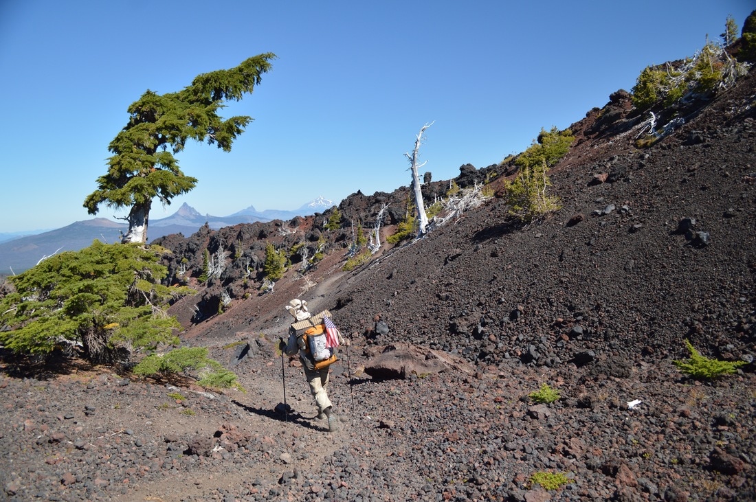
After exiting the Obsidian Limited Entry Area, we steadily climbed up Sawyer Bar and up to Opie Dilldock Pass. Here you can see North Sister in all of her glory, but the climb is brutal because the trail is made out of large lava rocks, which makes it hard to walk.
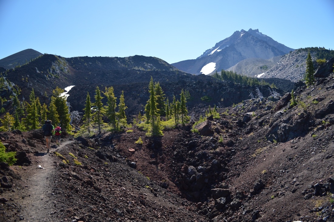
(North Sister and the approach to Sewyer Bar)
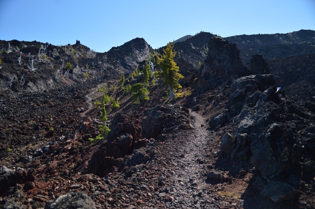
(Sawyer Bar)
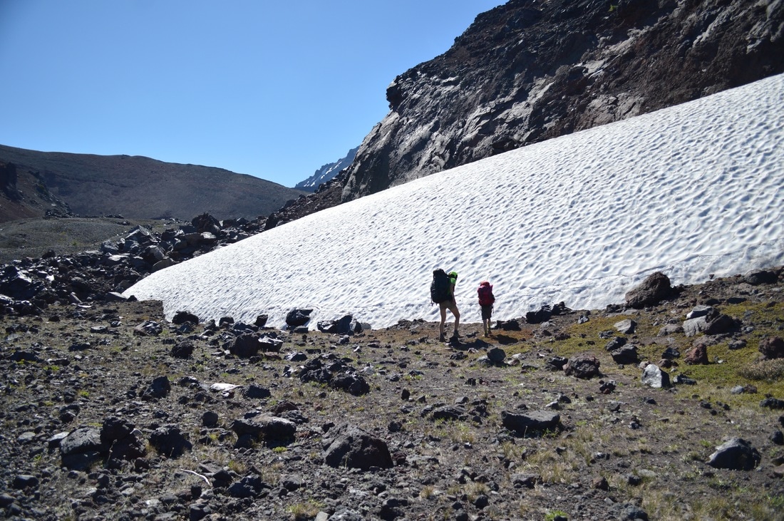
(resting by a snow field)
|
|
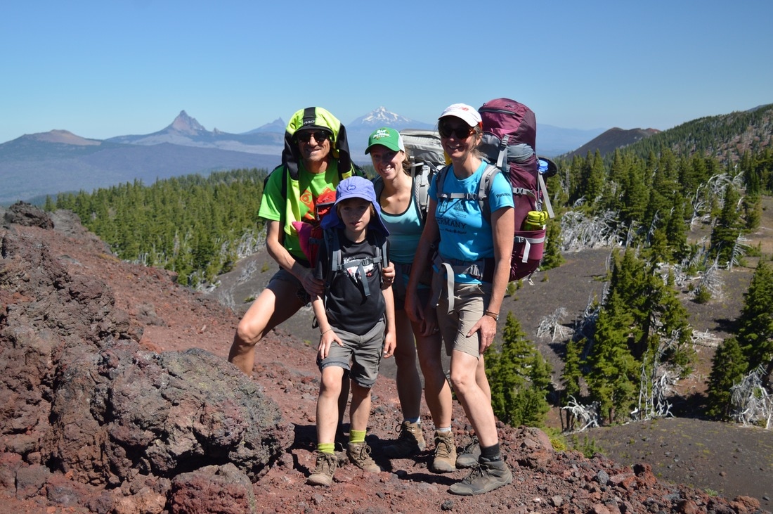
(the whole gang at the top of Opie Dilldock Pass)
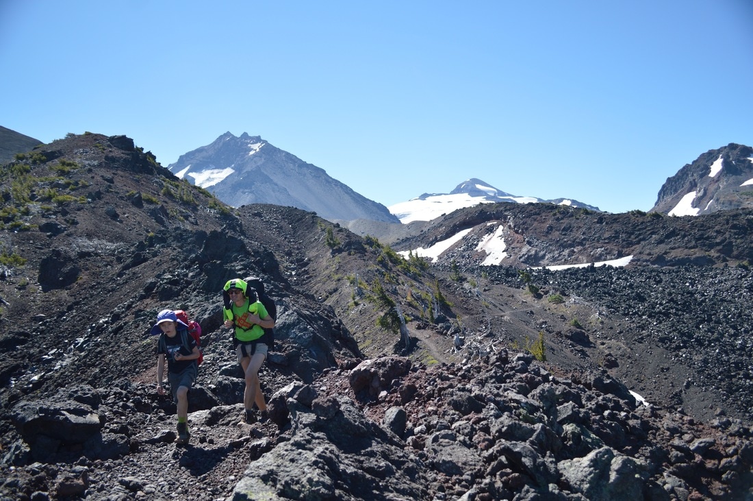
A really nice smiling NOBO thru-hiker took a family picture of us at the top of Opie Dilldock Pass with the mountains in the background. From the pass it was mainly downhill for 3 miles, around Yapoah Crater, through another lava field, and up to South Matthieu Lake, where we had lunch.
(the dancing thru-hiker who took our picture at Opie Dilldock Pass)
(Mt. Washington, Three Finger Jack, Mt. Jefferson, Mt. Hood)
(PCT and Scott Trail junction with view of North and Middle Sister)
(hiking around Yapoah Crater and North Sister in the background)
|
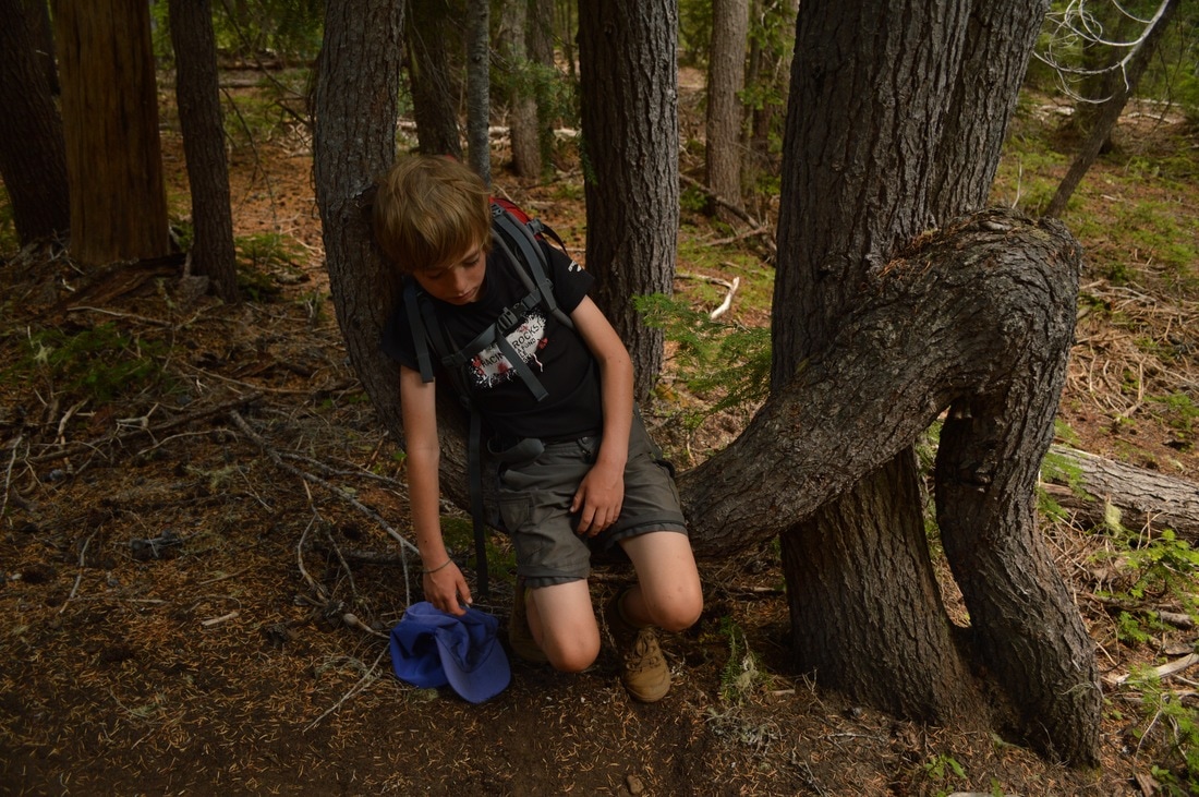
These 3 miles to South Matthieu Lake were long, hot and tough, as my step-mom Ute was starting to realize that her shins were hurting really badly. At lunch she treated them a little bit with some cream, but we still had another 4 miles to go to get to our next camp site.
|
|
(little Matthew at South Matthieu Lake)
(super tired Matthew after hiking all those miles across the lava!)
The slow pace was really making it hard for me to carry my heavy load, so for the majority of the hiking days, I hiked up ahead. I sometimes deeply regret doing this, because I was not a part of any of the conversations that happened on the trail.
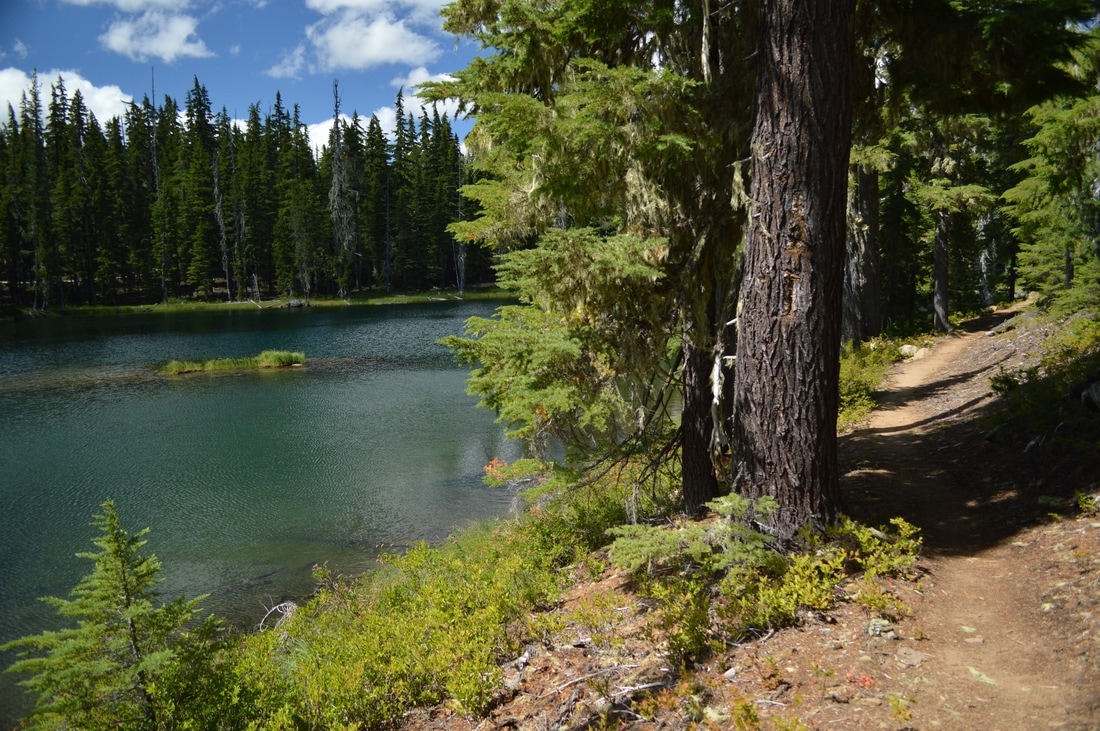
We arrived at Lava Camp Lake, which is actually an official campground, and the last place for NOBO thru-hikers to get water before they cross another 13 miles stretch with lava and get to Big Lake.
At Lava Camp Lake we were lucky enough to find a camp site that was big enough for our three tents. The two gals Padma and Carly, whom I had connected with at Elk Lake were here spending the night also. We all went swimming in the lake, pumped some water, cooked dinner, and headed to bed early.
(Lava Camp Lake w/ Black Crater in the background)
|
August 12, 2016-
|
(North and Middle Sister at McKenzie Pass)
Because of the shin pain, my step mom was going to be unable to do the next 13 mile section, especially because it meant crossing another large lava field. So she ended up hitching a ride with a nice couple from the campground, and was going to meet us at Big Lake Youth Camp later that day.
(crossing McKenzie Hwy. 242 at McKenzie Pass)
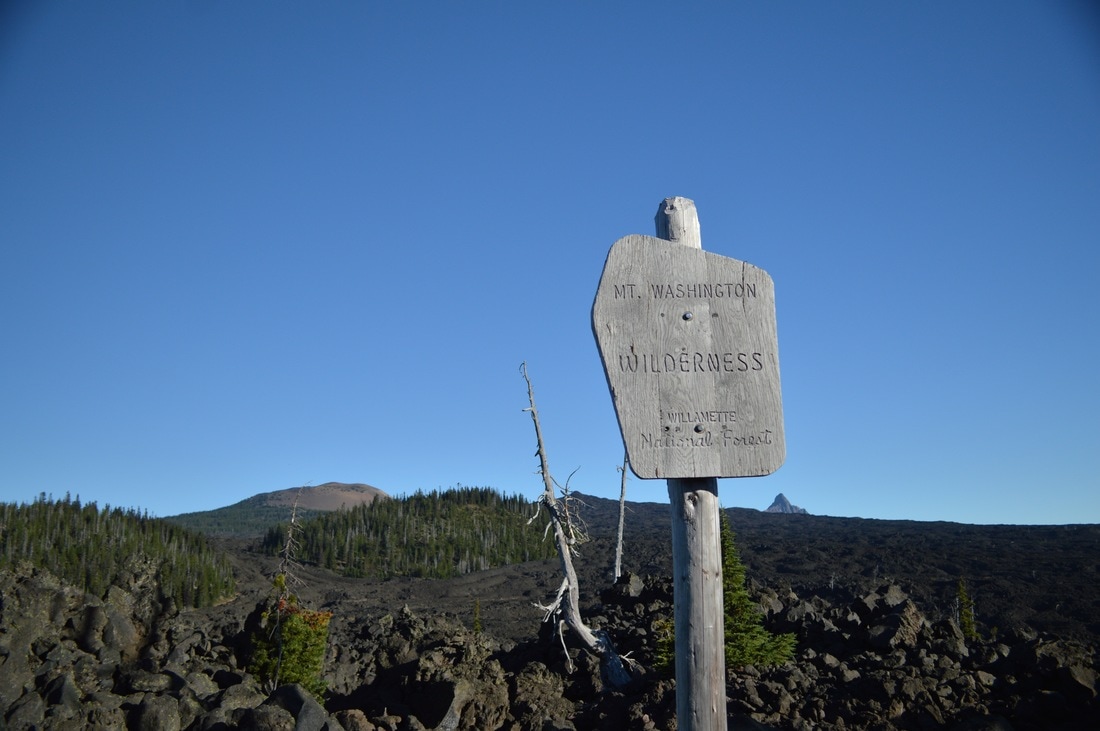
(entering the Mt. Washington Wilderness)
(the trail started off like this...)
|
(...but shortly changed to this!)
|
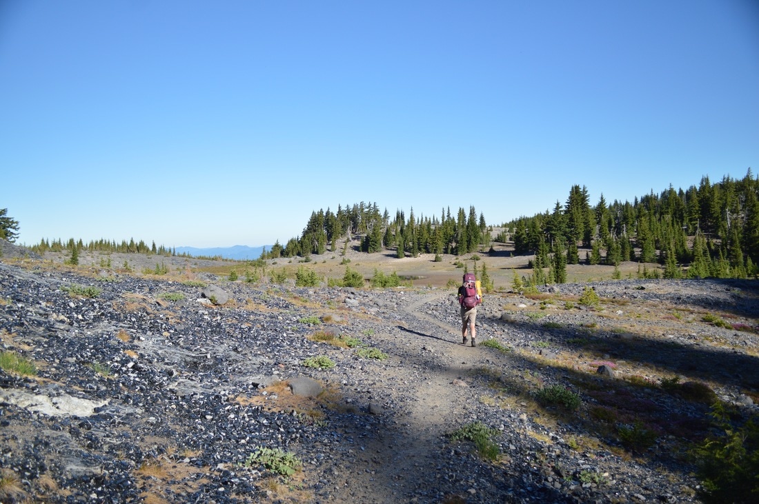
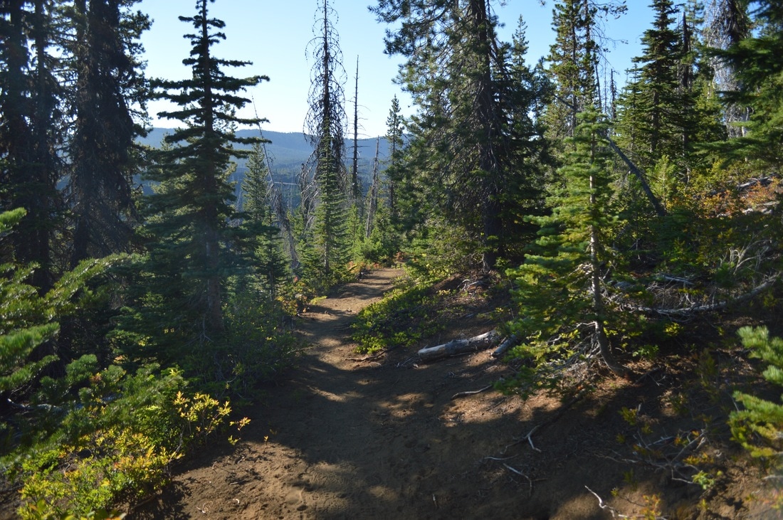
My dad, little Matthew and I departed camp Lava Camp Lake at 7:10am. We made our way through the lava, crossed McKenzie Hwy. 242, and then passed Belknap Crater, straight towards Mt. Washington. This was by far the hardest day, and it ended up being one of the warmest days we had had yet, with temperatures in the upper 90's.
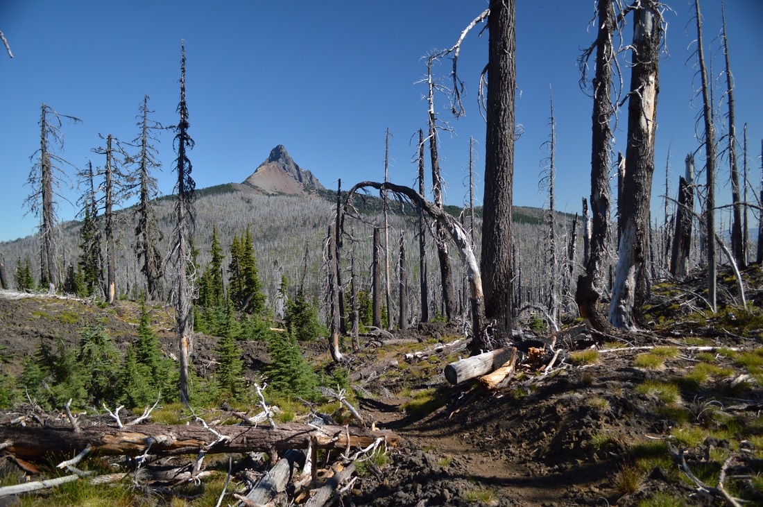
(dead trees and Mt. Washington)
(a view back at Belknap Crater and North and Middle Sister)
(Mt. Washington)
Once the lava section ends, the trail gets extremely dusty, which also made it difficult to walk. We had a short lunch break once we were in the woods a bit, and Padma and Carly ended up catching up and passing us here. We arrived at Big Lake Youth Camp completely exhausted.
The youth camp caters to PCT hikers by offering them showers, laundry, meals, and a hiker designated shelter where hikers were unpacking their resupply boxes, taking a snooze, raiding the hiker box, and chatting. It was entertaining to watch.
The youth camp caters to PCT hikers by offering them showers, laundry, meals, and a hiker designated shelter where hikers were unpacking their resupply boxes, taking a snooze, raiding the hiker box, and chatting. It was entertaining to watch.
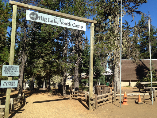
(the entrance to Big Lake Youth Camp- photo courtesy of bobofwashington.blogspot.com)
(my tent set up at Big Lake)
Because it is a youth camp, hikers cannot camp on the youth camp grounds, so we hiked down to Big Lake and camped about 1/4 of a mile away on a little peninsula. It was a beautiful place to camp, and we could see all of the youth camp activities and all of the boats on Big Lake.
We had dinner at the youth camp. All of their meals are vegetarian, and for our dinner they served fruit, potato soup, a veggie soup, bread, crackers and cheese! We inhaled our food and went back for seconds!
Later that evening my dad came to my tent and told me that because this was way more stressful and strenuous than they had imagined, and because the youth camp doctor had confirmed that Ute had shin splints, we were not going to continue on the trail. This was heart-breaking for me, but we ended up compromising a bit.
We would spend a rest day at Big Lake with my husband, spend two days at Breitenbush Hotsprings, Ute would hitch hike to Olallie Lake from there, and my dad, Matthew and I would continue two more days on the PCT from Breitenbush to Olallie Lake.
(our view across Big Lake from our tent site, looking at Haystack Butte and Mt. Washington)
|
August 13-15, 2016-
|
(playing at Big Lake with Haystack Butte and Mt. Washington in the background)
August 13th we spent hanging out at Big Lake with my husband who was camped across the lake from us at a campground. He brought us lots of fruit, and we ended up having a yummy dinner with him as well.
(sunset across Big Lake)
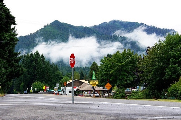
(downtown Detroit, Oregon- photo courtesy of orexplorer.com)
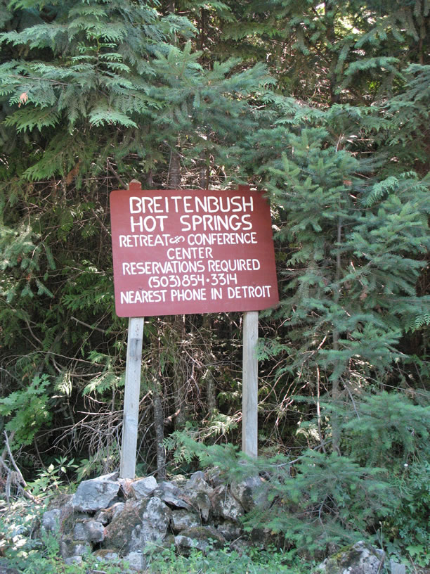
(Breitenbush Hot Springs entrance- photo courtesy of pdxfamilyadventures.com)
|
The next morning we departed and my husband drove us from Big Lake to the town of Detroit. From there we started walking up Breitenbush Road, in hopes that someone would give us a ride. Within half a mile Ute could not walk anymore due to pain, so she stopped at a good hitch hike spot, and my dad, Matthew and I continued on up the road, since we knew no one would be able to pick all 4 of us up and be able to put our packs somewhere. Within a few miles, a van stopped and this 21 year old guy from California stuffed us the van that he lives in. He was a hoot!
We arrived at Breitenbush Hot Springs and were lucky to get a cabin for two nights, since they didn't have any more tent spots. It definitely felt weird to sleep on a mattress after sleeping in a tent for so many nights! |
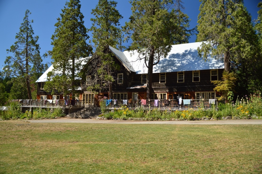
(Breitenbush Hot Springs main lodge)
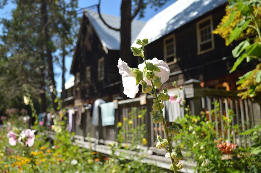
Breitenbach Hotsprings is definitely a special and sacred place. My dad and I used to come here when I was a child, and I have been coming here every few years since then. It is a place where you can rejuvenate yourself, and where you can come to feel whole again. They offer daily yoga, EDGU, various music sessions, chanting, massage, and of course many natural hot springs. I have never been here in the dead of summer, so it was a bit odd to soak in the hot springs when it was so hot outside. But I did it. I even went into the sauna hut on a 90 degree day!
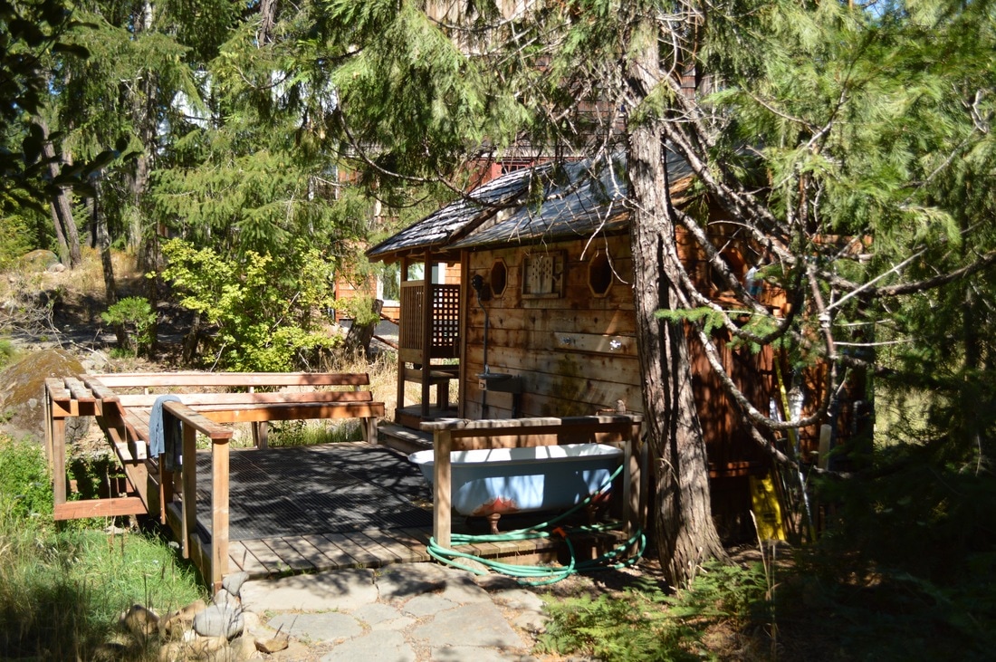
(Breitenbush Hot Springs sauna hut)
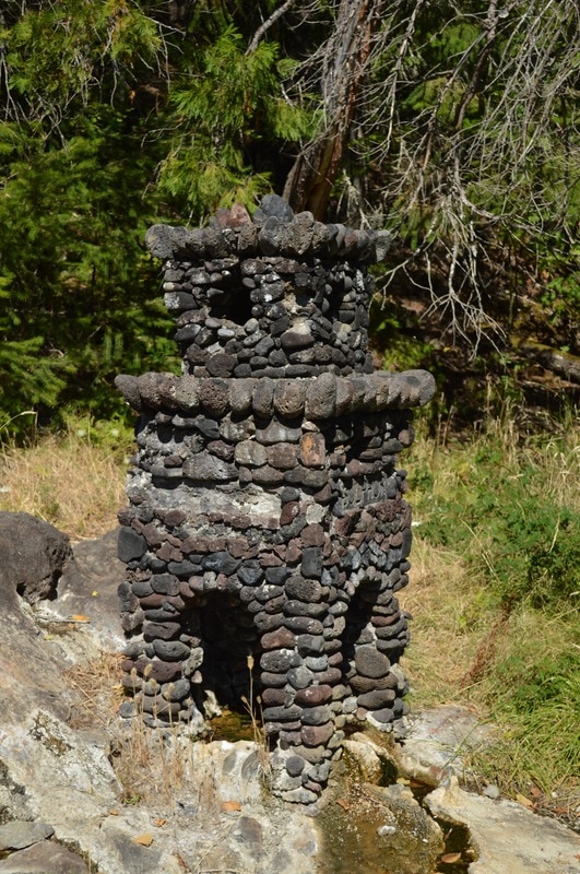
(a sulphur spring with a cairn around it so that no one touches the super hot water)
|
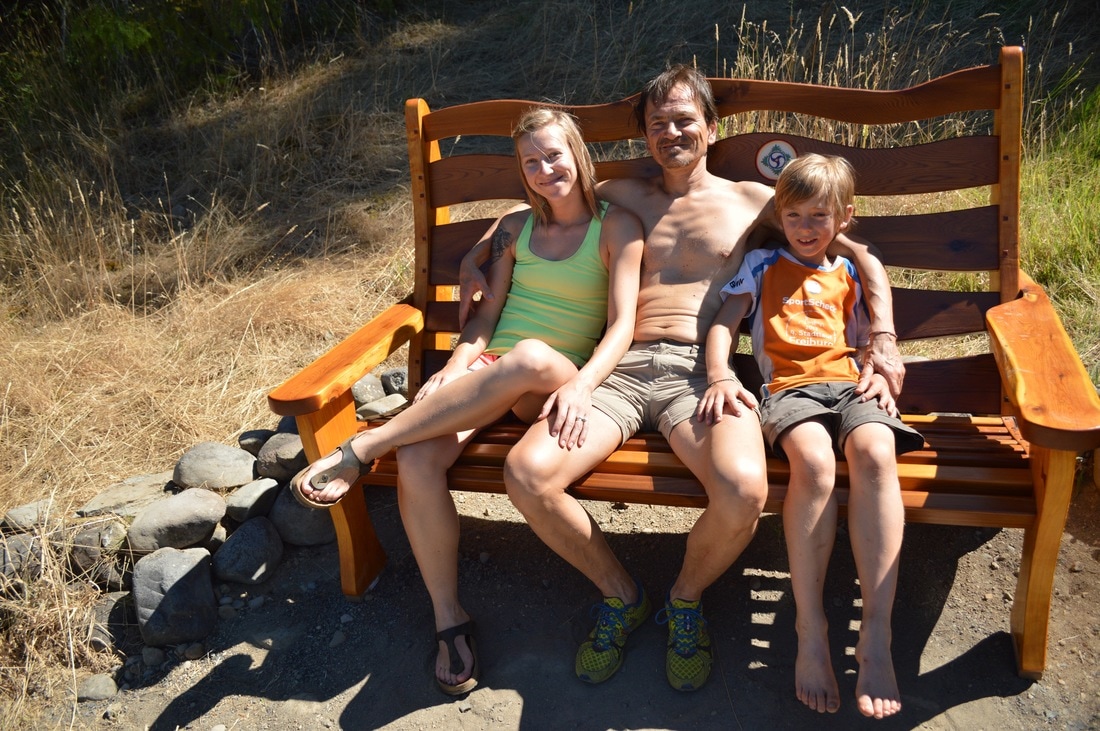
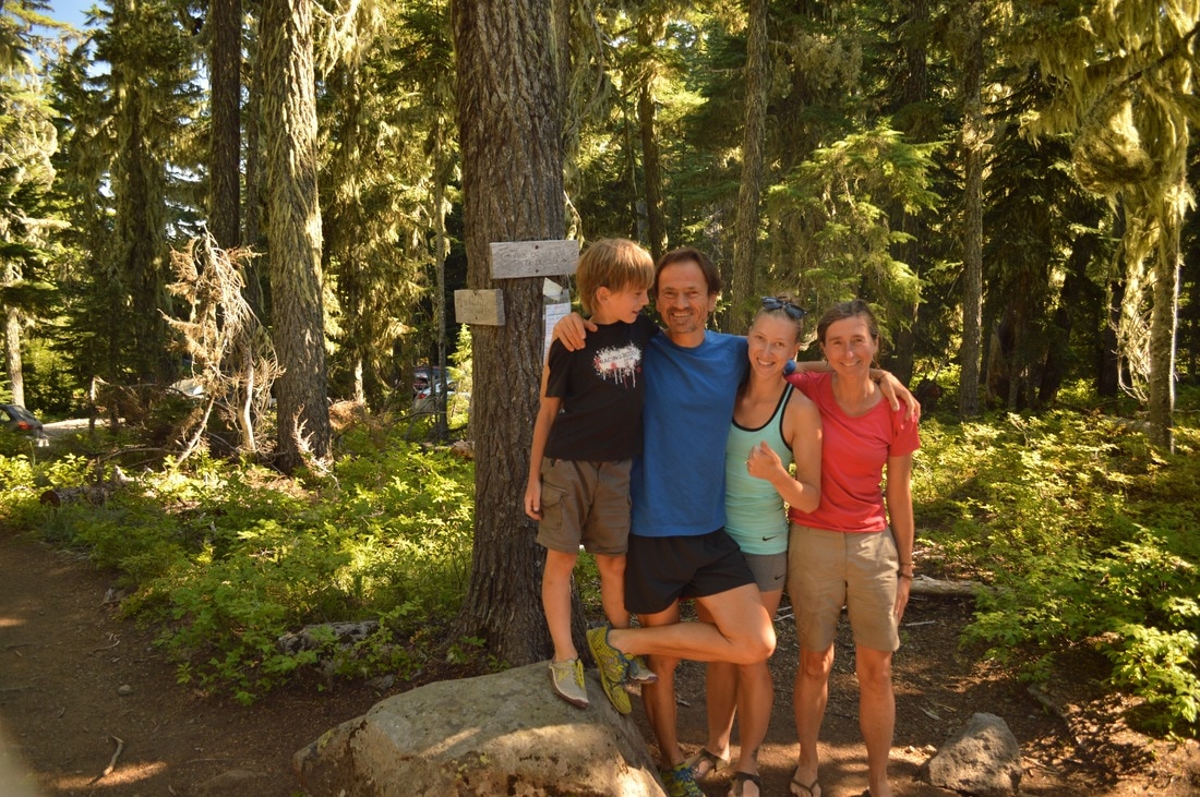
(myself, my dad, my little brother)
On the second day we just enjoyed resting, going down to the Breitenbush River and taking a dip, we did EDGU and yoga sessions, soaked, and then in the evening we went to a concert. Singer-songwriter Daisy O'Connor performed and her songs were so amazing and so full of emotion and soul, they touched my heart. There were a few songs that she played, where I even started crying!
|
(the Breitenbush River)
|
August 16, 2016-
|
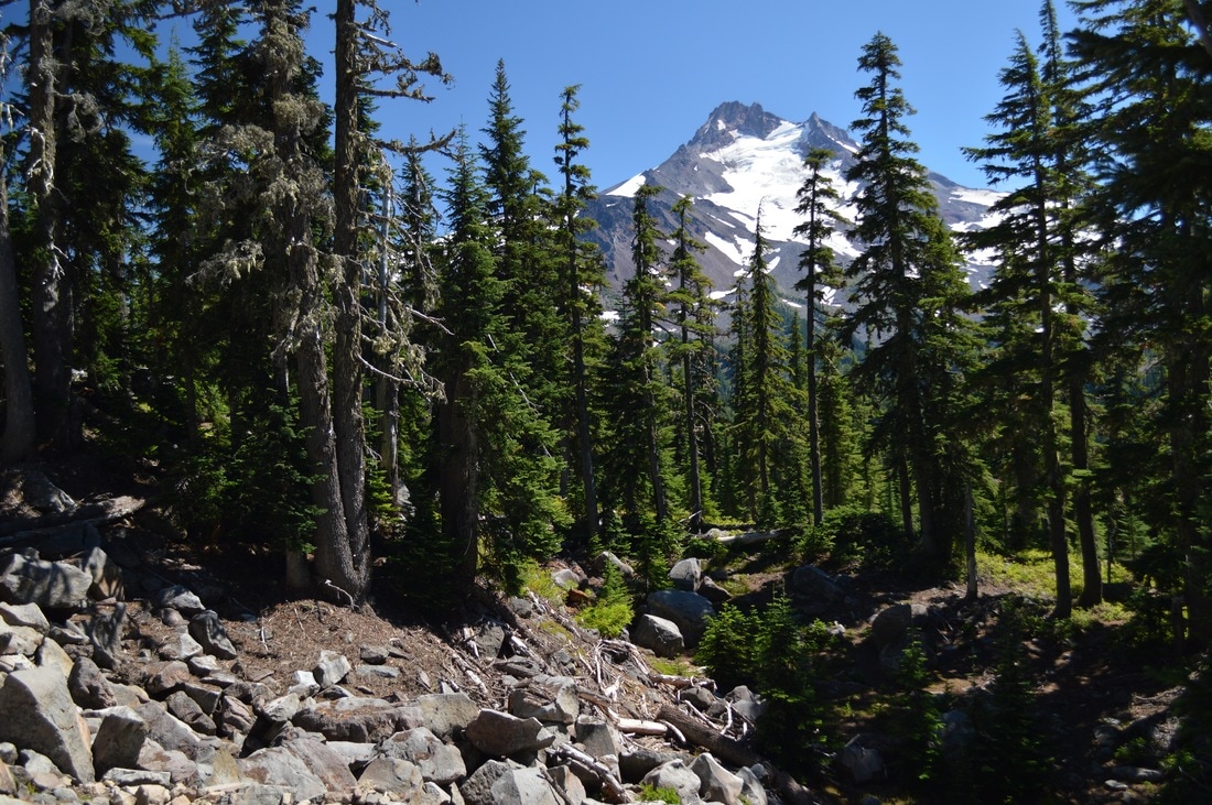
(one of the first glimpses of Mt. Jefferson)
At Breitenbush Hotsprings we happened to see a family friend, and he offered to take us to the South Breitenbush Trail trailhead on the morning of August 16th. This ride kindly spared us another 5 miles of brutal uphill climbing! The South Breitenbush trail is brutal! The first 1.5 miles are through the woods with a gradual climb, but the rest of the 4 miles the trail literally looks like a river bed. You are walking on huge rocks and boulders and it was very strenuous. At Jefferson Park, the South Breitenbush trail T's into the PCT!
(entering the Jefferson Park limited entry boundary)
(our camp site at Russell Lake)
|
We got to the Jefferson Park Limited Entry boundary, and because I had previously purchased a permit, we were able to camp in a designated camp area at Russell Lake (site #30).
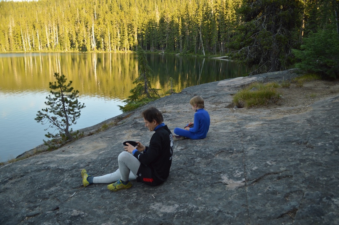
We put down our packs at the camp site, and then I took my dad and little brother down the trail a little bit to see Scout Lake, since it is one of the most picturesque lakes at Jefferson Park. We hung out there for a little bit, before heading back to camp for dinner. After dinner we played by the lake for quite a while, and I took many pictures. |
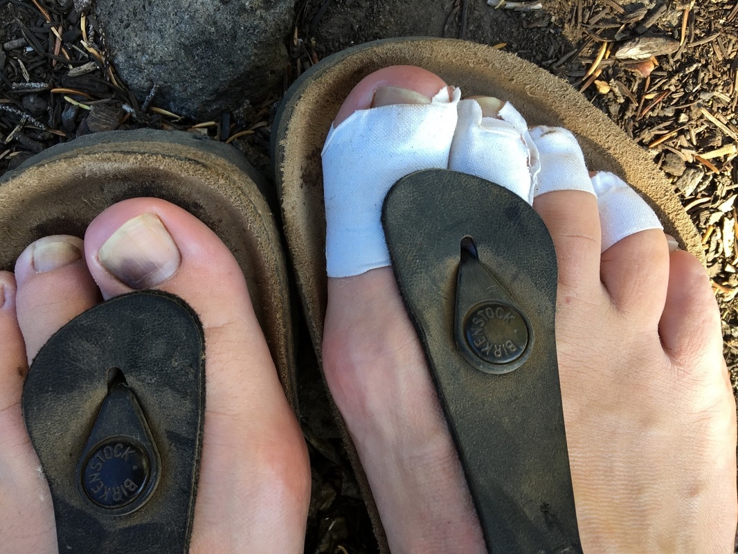
(battered feet)
|
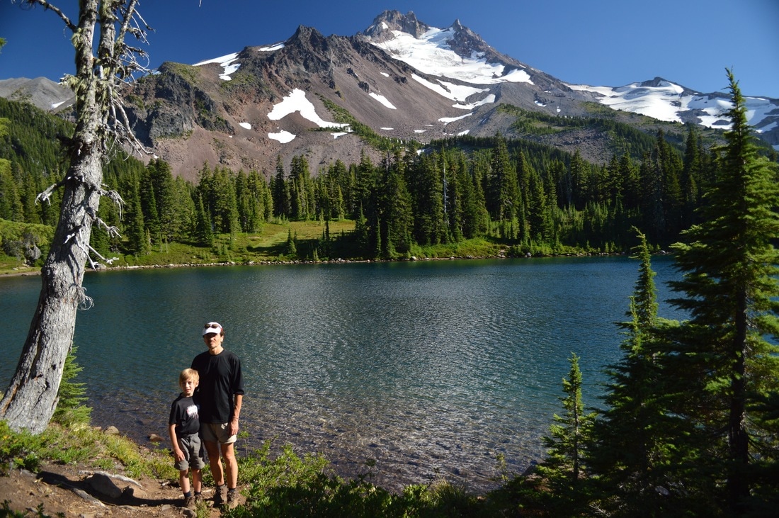
(my dad and little brother at Scout Lake)
|
|
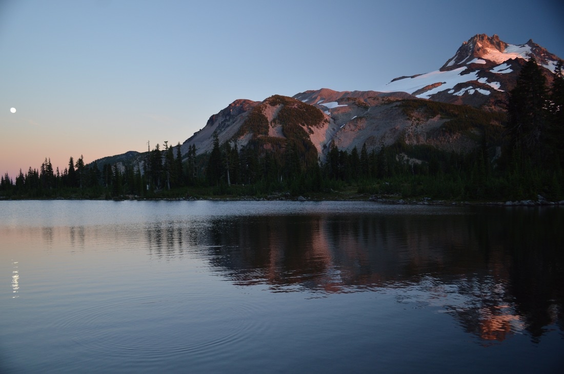
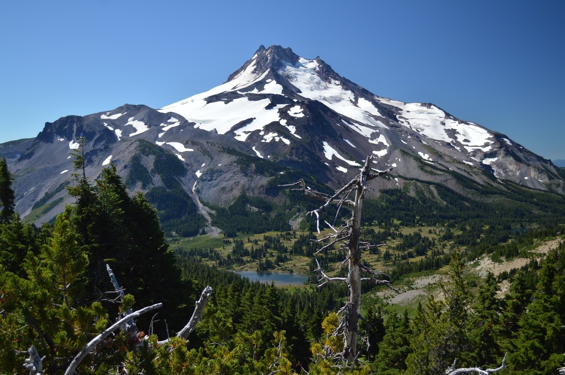
That night there happened to be a full moon, and I was able to capture the sunset making Mt. Jefferson glow, as well as the full moon rising on the other side of the mountain. It was so spectacular, and definitely one of the prettiest spots you can camp along the Oregon section of the PCT. That night the moon ended up being SO bright, it felt like we were sleeping under a street lamp, so we didn't get much sleep.
|
August 17, 2016-
|
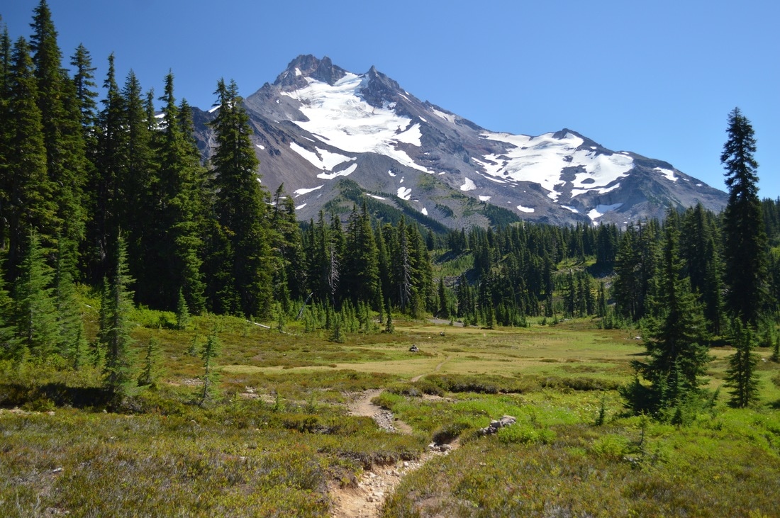
(I couldn't get enough of the view of Mt. Jefferson from Russell Lake!)
This day definitely rivaled day 9 with how difficult it was. We kept thinking "Is this really only 11 miles?" It seemed so far, and the trail was extremely strenuous!
Leaving Russell Lake in the morning, we gained some elevation going up a ridge out of Jefferson Park. This ridge offered us spectacular views of Mt. Jefferson and the many lakes below.
Leaving Russell Lake in the morning, we gained some elevation going up a ridge out of Jefferson Park. This ridge offered us spectacular views of Mt. Jefferson and the many lakes below.
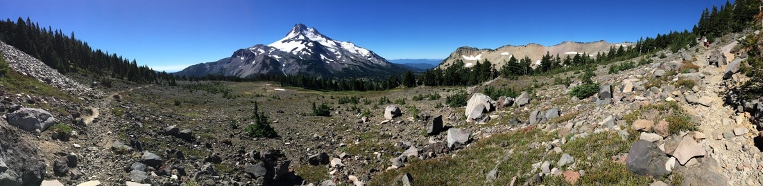
(panorama picture heading up the pass from Jefferson Park)
As we went up and over the other side of the ridge, we were able to see our destination, Olallie Butte, and we could also see Mt. Hood, and even Mt. Rainier. We crossed a snow field that we couldn't believe was still there in mid-August, and then the trail remained rocky with many elevation losses and gains.
(Mt. Jefferson to the south from the top of the pass)
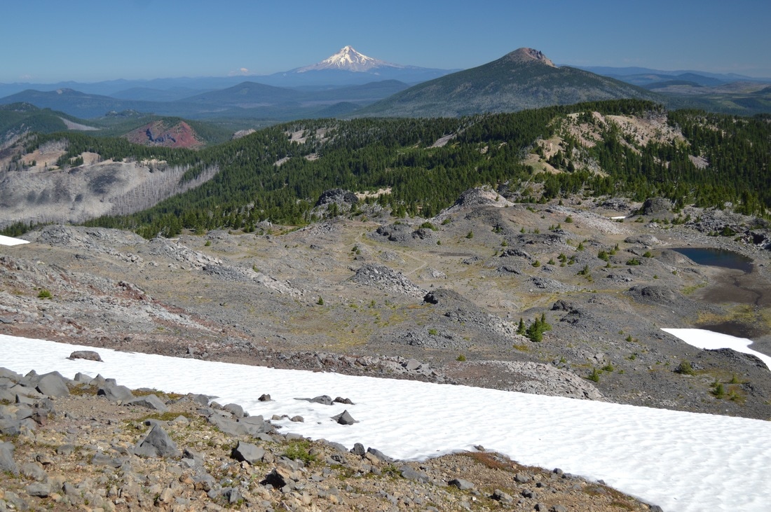
(view to the north of Olallie Butte and Mt. Hood from the top of the pass)
(rocky trail down to Olallie Butte)
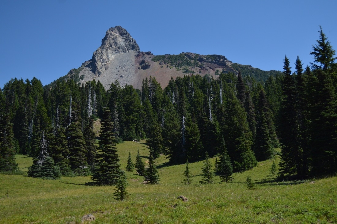
(Pyramid Butte)
|
We passed by Pyramid Butte, where the landscape was quite barren, and we were really starting to get very hot and fatigued. After 5 miles of hiking we were already exhausted and my dad especially needed a break. So we exited the trail and headed about a quarter of a mile over to Breitenbush Lake. I didn't even take any pictures of this lake, because it wasn't pretty at all. The log shelter with a picnic table was totally vandalized, and the lake was basically a marsh.
|
After our lunch break, we started heading uphill once again, but at this point we were fueled by food and freshly pumped water. We passed Upper Lake, Cigar Lake, and Small Lake. As we were coming down the hill, we caught one of our last glimpses of Mt. Jefferson from the trail, and that is when I started getting emotional and realizing that this was the last mile of this hike. A few tears escaped from my eyes, as I walked ahead of my dad and brother, but my real emotional breakdown wouldn't come until a few days later.
(arrived at our end point and reunited with Ute- the PCT junction to Olallie Lake)
(Olallie Lake store)
|
At Head Lake, you see a sign on a tree that points you in the direction of Olallie Lake. This is where my step mom greeted us with a big smile and a hug. She had already picked out our camp site in the special PCT designated campground. And who did I see also camping there? Padma and Carly once again! We hiked a total of 109.8 miles with a grand total of 15, 545 ft. of elevation gain. We were happy and exhausted, and I gladly got a cold beer from the Olallie store!
|
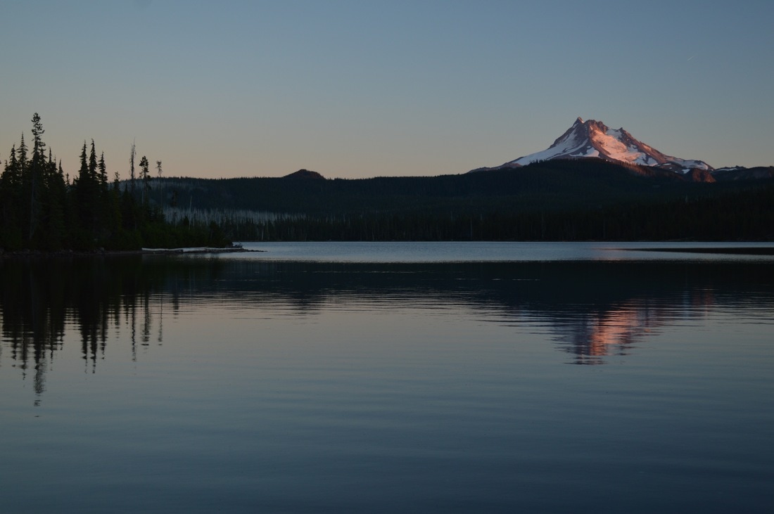
(sunset at Olallie Lake with Mt. Jefferson in the background)
The next day (August 17th) we spent the day relaxing, journaling, eating, watching thru-hikers drift in and out of the camp, and in the afternoon we rented a row boat to take out onto Olallie Lake. You are not allowed to swim or have any motorized boats on the lake, so it is very quiet, clean, and pristine. The lake was so clear and had this lovely greenish-blue color, it almost looked like the Mediterranean ocean!
On August 18th my husband was going to come and pick us up, but not until the afternoon. I really wanted to climb Olallie Butte, so I got up very early in the morning, walked 2 more miles on the PCT to the Olallie Butte trailhead. I climbed Olallie Butte with such vigor! The views from up there were so breathtaking, and I could see the whole entire stretch of trail that we hiked. On my way down is when I got emotional. For the first time I realized just how much the trail had changed me. It had relaxed me, it had made me less stressed, it had made me feel strong inside and out, it had taken me out of my comfort zone emotionally, physically, and mentally. During these mere 11 days on the Pacific Crest Trial, I have learned more about myself than I ever knew I could discover.
It has taken me exactly 7 months to even attempt to write about this trip, because it honestly took me that long to process it all. It was a whirlwind of days, sights, experiences and emotions, and it was the happiest time of my life!
To get a personal view of the trail watch my PCT video on YouTube.
-This article was written in 2017-
*All pictures are taken by Franziska Weinheimer
*All pictures are taken by Franziska Weinheimer