10 Oregon Swimming Spots
that you can hike to
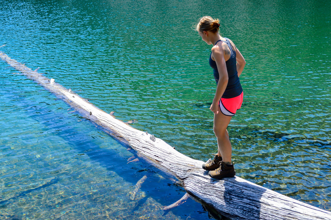
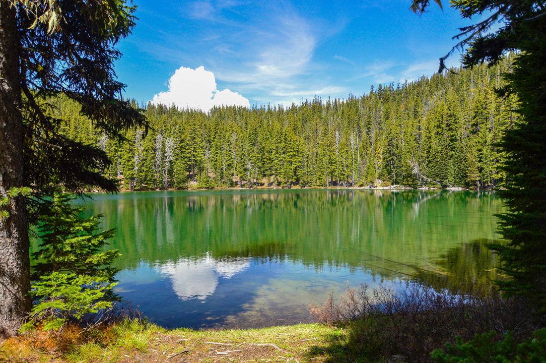
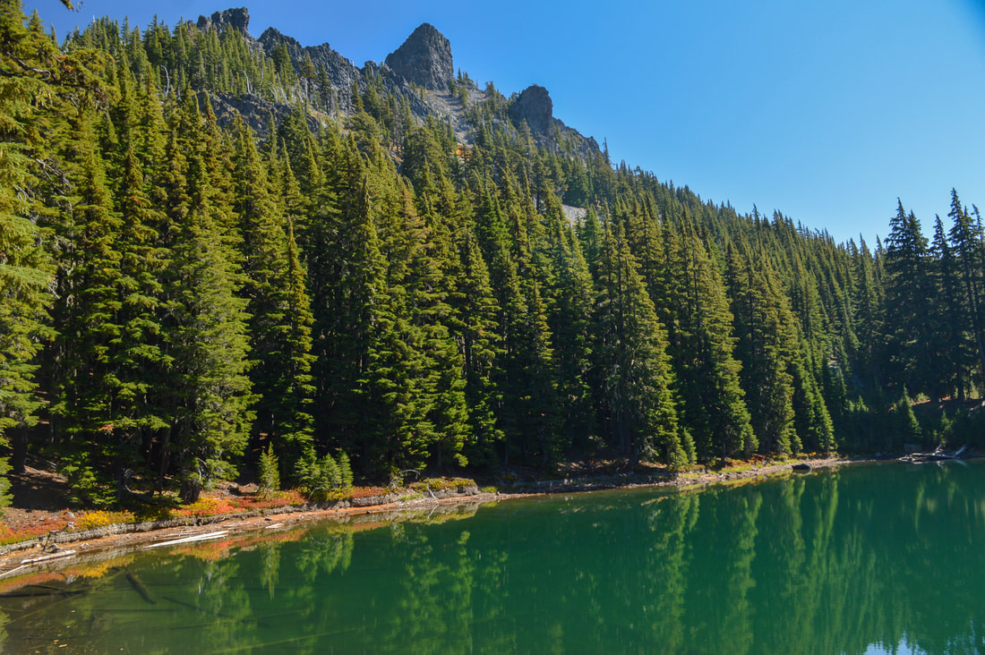
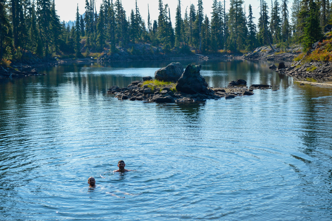
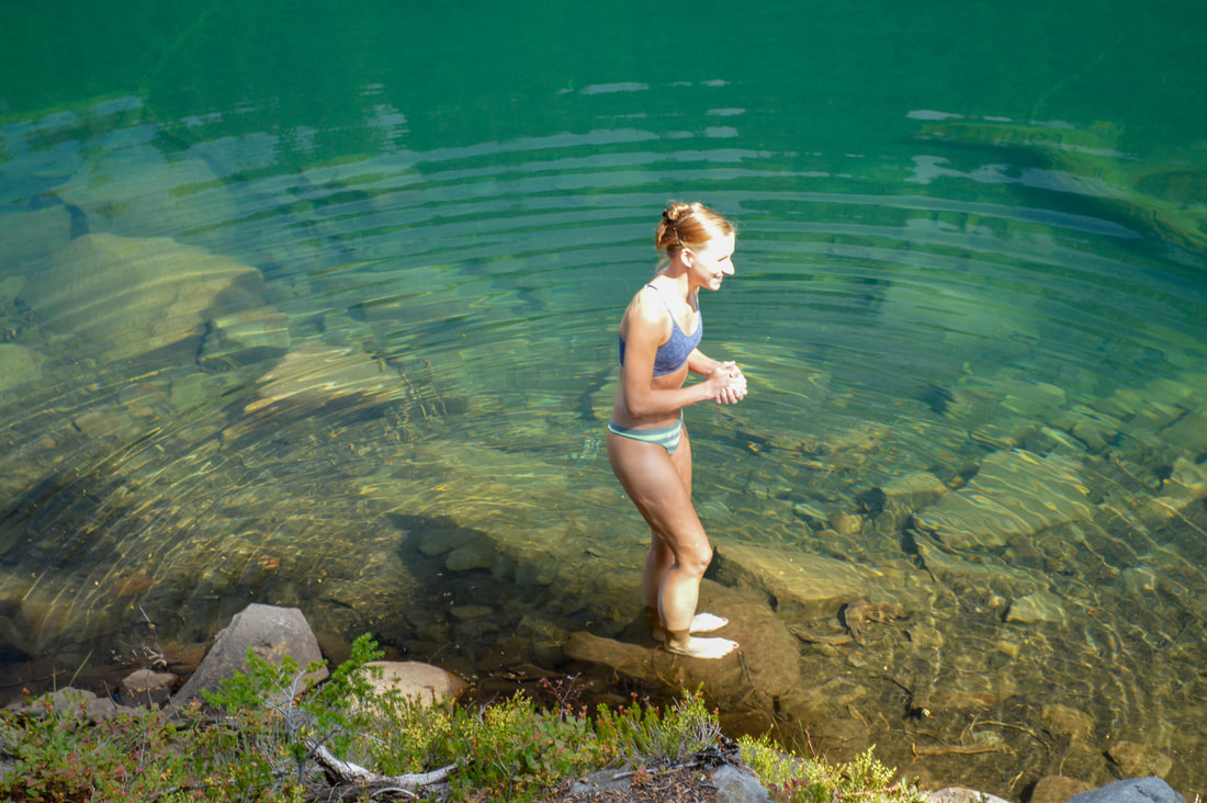
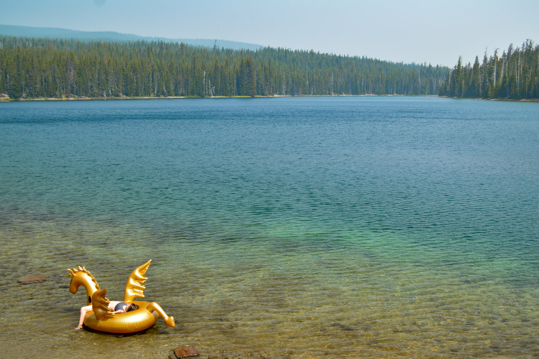
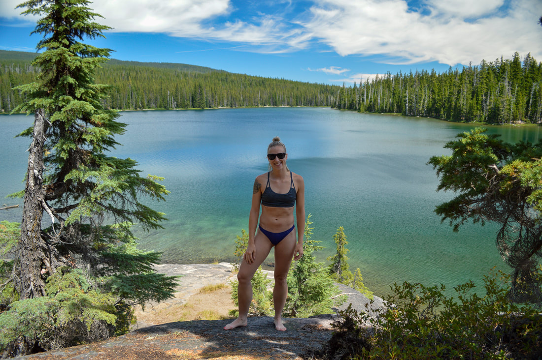
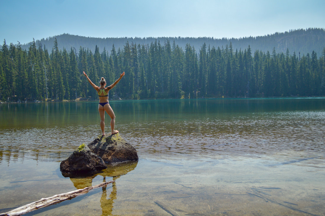
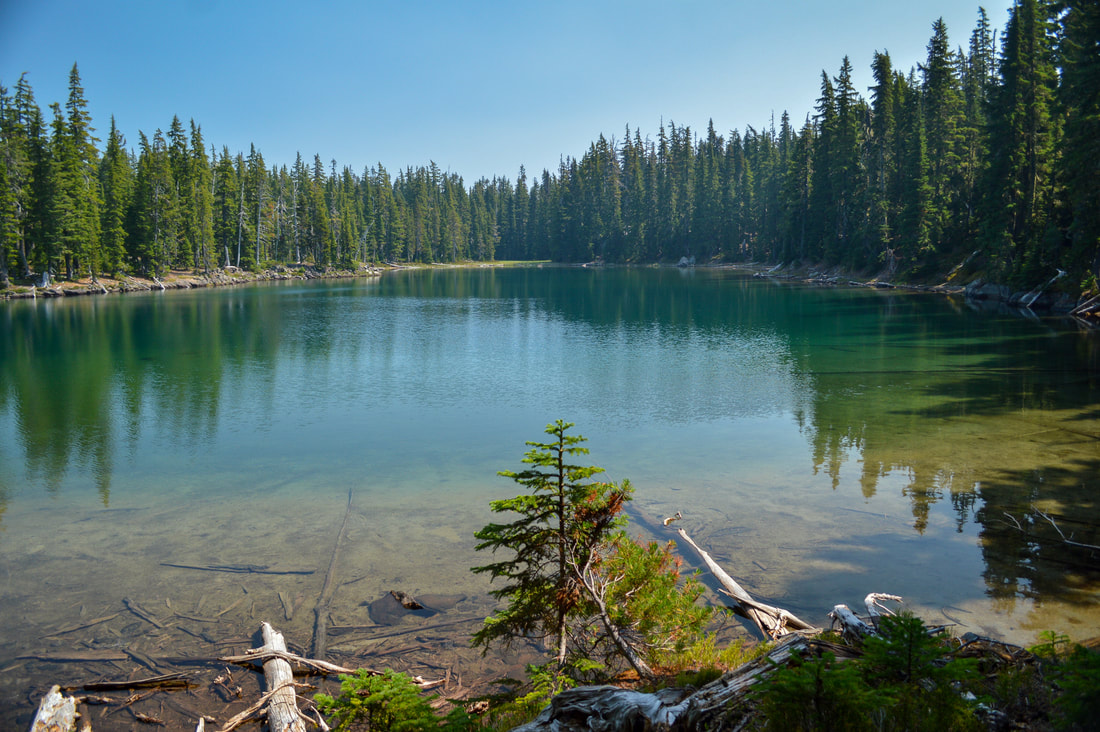
There is no better feeling than stripping off your sweaty clothes after hiking a few miles, and jumping into a pristine alpine lake or a stream to cool off on a hot summer's day. There are so many amazing swimming spots in Oregon that folks can enjoy in the summer season, it is hard to pick just 10. Listed here are some of the top swimming spots that you can hike to, which makes them a little less crowded than the spots with car access, plus see a few extra gems at the bottom of the list.
1) Rosary Lakes
Closest town: Oakridge
Trail type: Out and back
Mileage: 7.2 miles w/ 900 ft. elevation gain (to the upper lake)
Difficulty: Moderate
Trail usage: Medium to heavy
Camping nearby: Primitive dispersed camping near the lakes
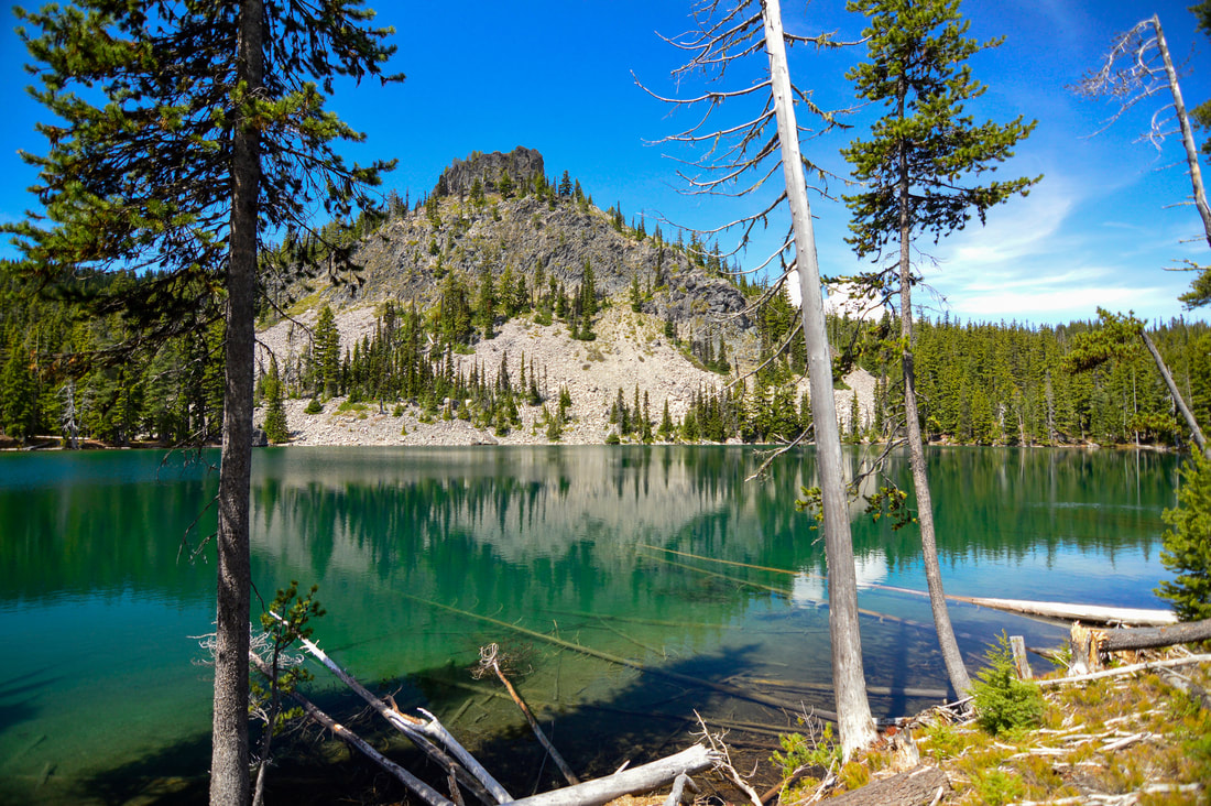
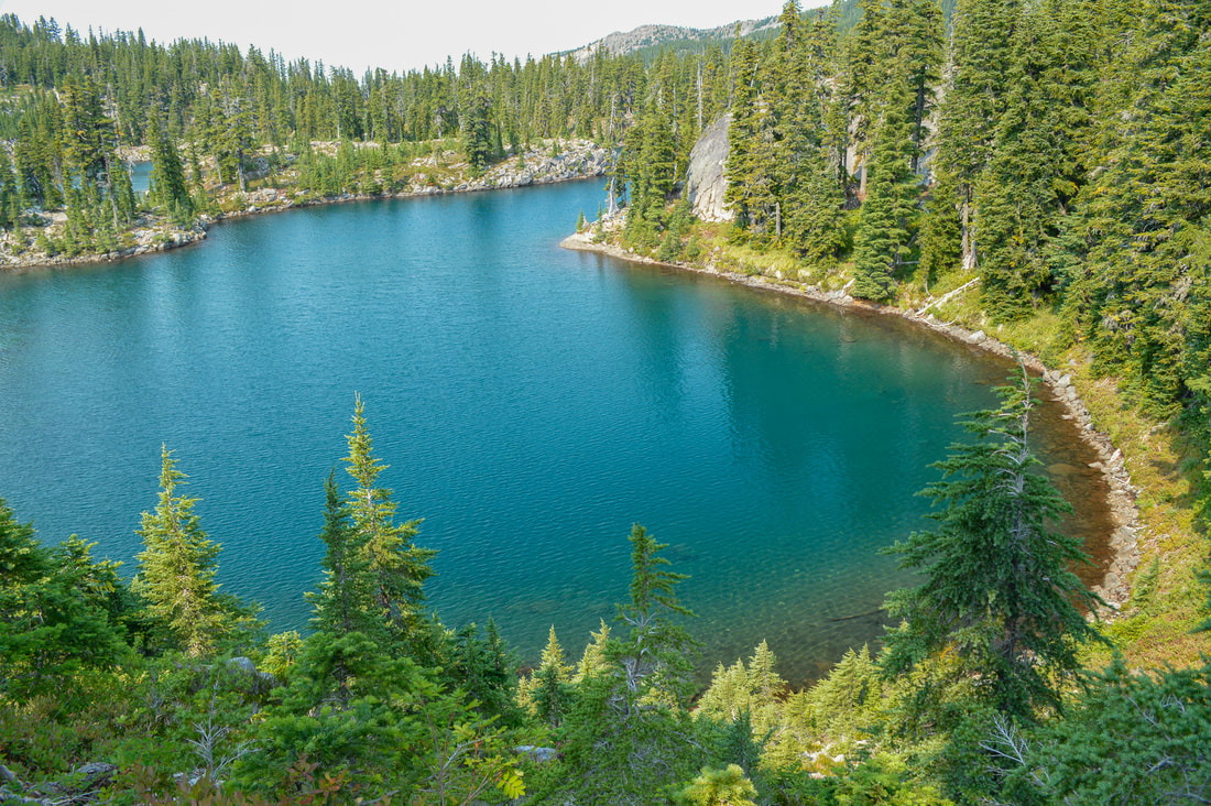
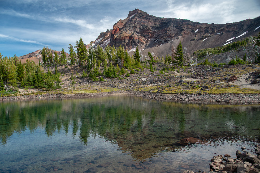
About the hike: This hike takes you through a beautiful forest along the Pacific Crest Trail and up to the three Rosary Lakes. These turquoise colored lakes are lined with trees and across Middle Rosary Lake you will see Pulpit Rock, often times creating the perfect reflection on the water. This hike is not difficult at all and is perfect for kids of all ages. The shallow parts of Rosary Lakes does warm up quite a bit in the summer time, but they are still alpine lakes and the deeper you go the colder the water gets. It's the perfect way to cool off after the trek up from the trailhead!
(Click here to read more about this hike and to get directions)
2) Notch Lake & Divide Lake
Closest town: Oakridge
Trail type: Out and back
Mileage: 2 miles w/ 125 ft. elevation gain (to Notch Lake) OR 8 miles w/ 1,280 ft. elevation gain (to Divide Lake)
Difficulty: Easy to moderate
Trail usage: Light
Camping nearby: Primitive dispersed camping near the lake
About the hike: Whether you just want to hike in 1 mile to the perfect swimming lake, or you want to hike 4 miles up to Divide Lake, this place has something to offer for everyone! Not everyone wants to or is able to hike miles and miles, and especially if you are bringing the family, the 1 mile hike to Notch Lake will be the perfect option for you. This lake is cold even at the end of the summer season, but it's a great place to hang out for the day, or even camp. The 4 mile hike up to Divide Lake offers amazing views of Mt. Yoran and Diamond Peak and the deep emerald color of Divide Lake is almost other-worldly! Divide Lake is pretty deep, making it a very refreshing jump in.
(Click here to read more about this hike and to get directions)
3) Bobby Lake
Closest town: Oakridge
Trail type: Out and back
Mileage: 5 miles w/ 415 ft. elevation gain
Difficulty: Easy
Trail usage: Low to medium
Camping nearby: Primitive dispersed camping near the lake
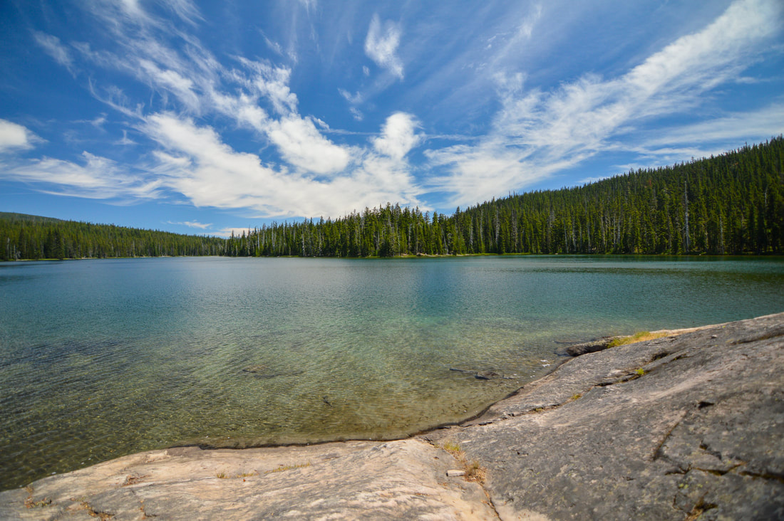
About the hike: Bobby Lake is a very large lake that has one of the most idyllic swim spots! At first glance, this looks like any one of the many lakes that you will see along this section of the Pacific Crest Trail, however on the southwest side of the lake there is a smooth rock hillside that slopes right into the water, making it the perfect spot to lay out the towel and very easy to get in and out of the water. It also creates a nice sandy lake bottom. The shallow part is warm and a great place for the kids to play and splash around in. But it does get deep quickly and the water is pretty cold. For those folks who want to stay the night, there are plenty of spots to set up camp around the lake.
(Click here to read more about this hike and to get directions- this post is for members only, you can purchase the seasonal membership for $9.99)
4) Brice Creek
Closest town: Cottage Grove
Trail type: Out and back
Mileage: 10.3 miles w/ 1,350 ft. elevation gain (depending on which swimming hole you want to go to)
Difficulty: Moderate
Trail usage: Medium
Camping nearby: Lund Park Campground
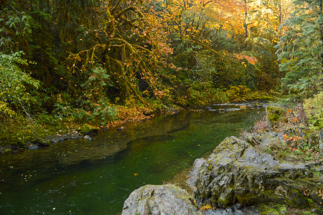
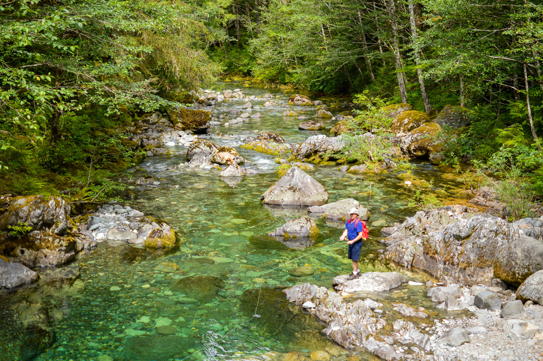
About the hike: Brice Creek has countless deep swimming holes along the entire stretch of hiking trail so you can take your pick on where you want to jump into this frigid body of water. Because it's a creek it doesn't warm up like some of the lakes do, but this is definitely a favorite spot for folks who don't want to drive too far from Eugene.
(Click here to read more about this hike and to get directions)
5) Lakes at Jefferson Park
Closest town: Detroit
Trail type: Out and back
Mileage: 10.5 miles out and back w/ 2,000 ft. elevation gain OR 12.5 miles out and back w/ 2,150 ft. elevation gain (depending on which lake you go to)
Difficulty: Difficult
Trail usage: Heavy
Camping nearby: Primitive designated camping near the lakes
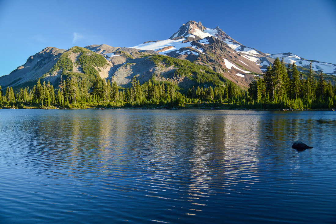
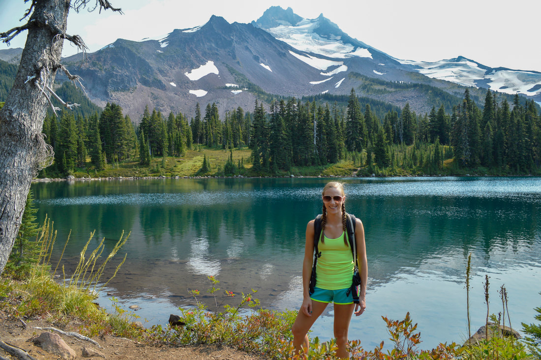
About the hike: Take your pick of lakes at Jefferson Park! The hike in is not easy and due to the Whitewater fire it is hot and exposed, but your reward is to jump into one of the stunning alpine lakes. Choose from Bays Lake, Scout Lake, Rock Lake, Park Lake and Russell Lake. All of the lakes are stunning but Bays Lake and Scout Lake are the best for swimming. This is a prime spot for camping, swimming and exploring and there are a total of 30 primitive designated campsites around the lakes for you to enjoy. ***While Jefferson Park is open, the most popular trailhead Whitewater Trail, is still closed from the 2020 Lionshead Fire. The shortest route in to Jefferson Park is via the PCT and Woodpecker Ridge.
(Click here to read more about this hike and to get directions)
6) Windy Lakes
Closest town: Crescent
Trail type: Out and back
Mileage: 10.8 miles w/ 1,270 ft. elevation gain
Difficulty: Moderate
Trail usage: Low
Camping nearby: Primitive dispersed camping near the lakes
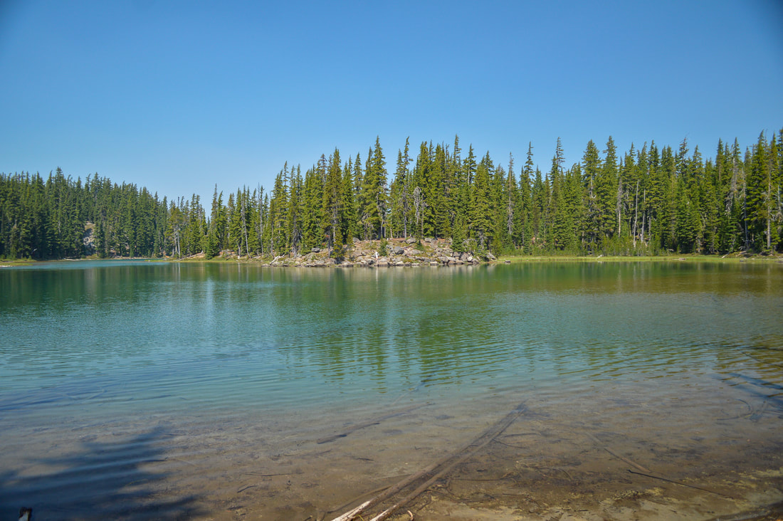
About the hike: Windy Lakes is one of the best hidden gems in the Diamond Peak/Crescent Lake area! Due to the limited accessibility of this trailhead, these lakes are never busy or crowded. Besides the 4 Windy Lakes, you will encounter 22 ponds along the way, ranging in size from small bogs to larger ponds that could actually be considered lakes. To hike to the closest swimming spot at Meek Lake, it is just 1 mile, but if you want to get to some of the larger lakes continue on the trail and take your pick. East Windy Lake is one of the best ones for swimming and you can camp on the peninsula there. This is a nice easy hike and perfect for someone's first backpacking trip!
(Click here to read more about this hike and to get directions)
7) Golden Lake & upper tarns
Closest town: Sisters
Trail type: Out and back
Mileage: 13.4 miles w/ 2,010 ft. elevation gain
Difficulty: Difficult (only because of the mileage)
Trail usage: Medium
Camping nearby: Primitive dispersed camping near the lake
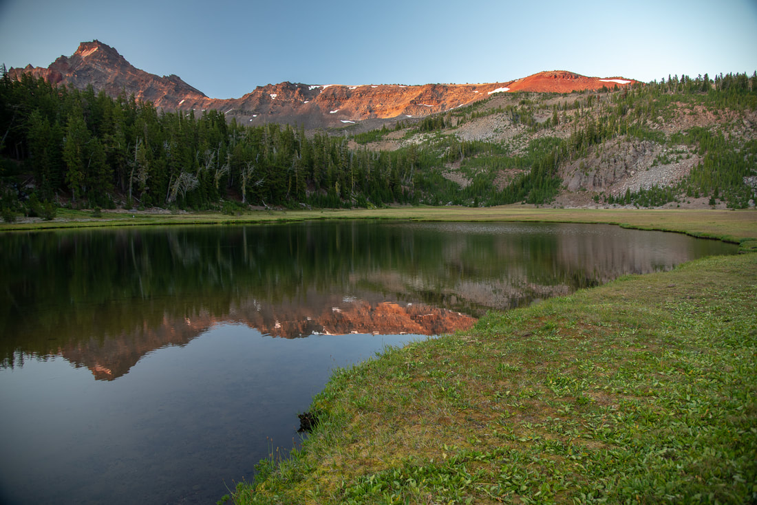
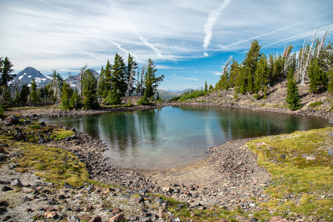
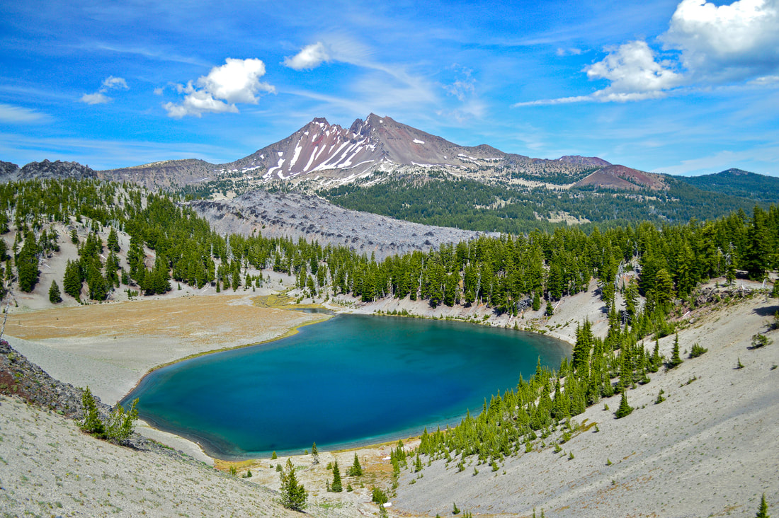
About the hike: Golden Lake is one of Hike Oregon's favorite swimming spots! This glacier-fed lake sits in an alpine meadow in the shadows of Broken Top. It is a spectacular place to take an ice cold dip and a magical place to camp as well. If you want water that is a little bit warmer than Golden Lake, take the time to head up to the upper tarns located above Golden Lake and enjoy these crystal clear waters. Because the tarns aren't too deep and aren't constantly fed by new glacier melt, they do warm up a bit during the summer.
(Click here to read more about this hike and to get directions- this post is for members only, you can purchase the seasonal membership for $9.99)
8) Opal Creek
CURRENTLY CLOSED DUE TO 2020 WILDFIRE!
Closest town: Mehama and Lyons (closest larger town is Salem)
Trail type: Out and back
Mileage: 7.4 miles w/ 715 ft. elevation gain
Difficulty: Moderate
Trail usage: Heavy
Camping nearby: Some primitive dispersed camping along the trail, closest campground is Shady Cove
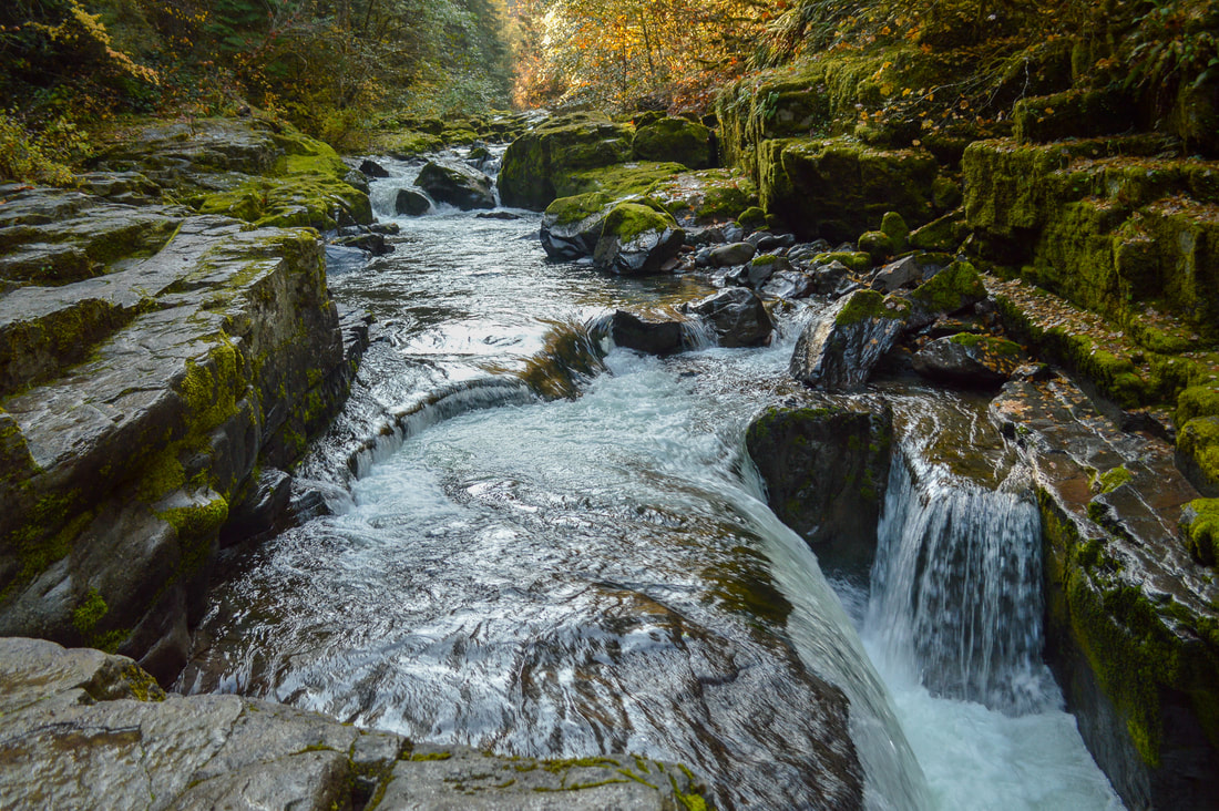
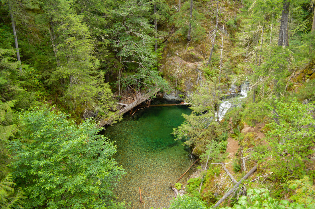
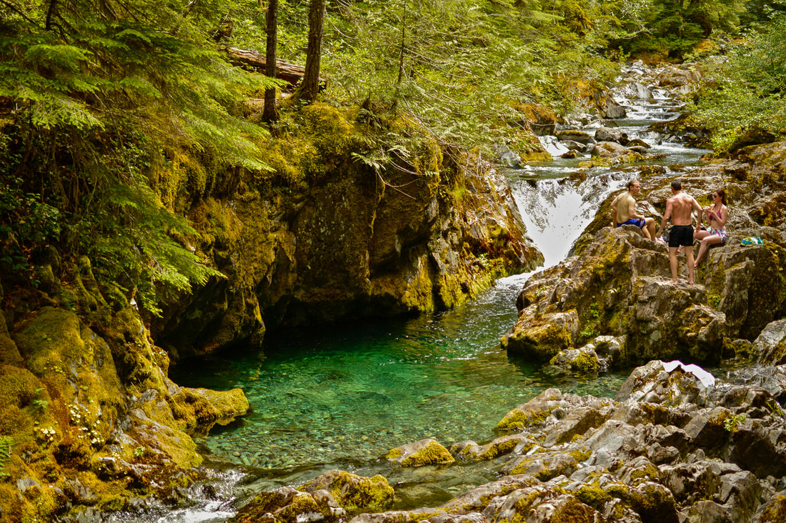
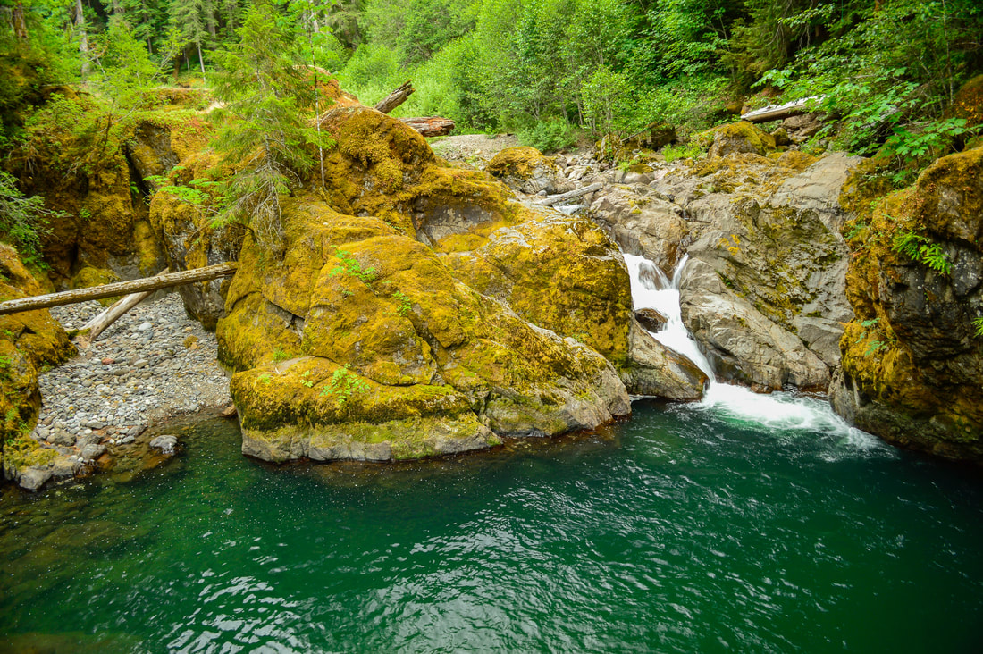
About the hike: Opal Creek is a popular spot for swimming and for good reason. This emerald colored water is very cold and the creek creates many spots with deep plunge pools that are perfect for cooling off. There is limited camping along this trail, but there is a campground nearby along the Little North Santiam River, which is also a great swimming area. Opal Creek is a great place for children to explore because of all of the cool old mining equipment at Jawbone Flats and all of the history that surrounds this beautiful area.
(Click here to read more about this hike and to get directions)
9) Moraine Lake
Closest town: Bend
Trail type: Out and back
Mileage: 6 miles w/ 1,845 ft. elevation gain
Terrain difficulty: Moderate
Trail usage: Heavy
Camping nearby: Designated primitive dispersed camping available around the lake
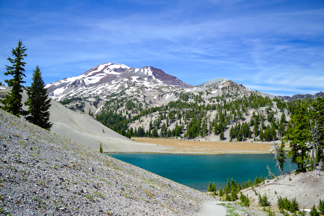
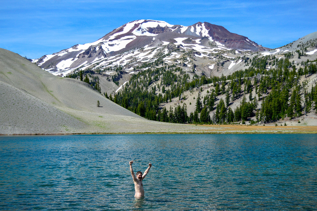
About the hike: Moraine Lake is another one of Hike Oregon's favorite places to swim. At the base of South Sister, this picture perfect lake couldn't get any better. The sandy shoreline and sandy lake bottom, makes this one of the easiest lakes to get in and out of since there are no rocks or old logs to stub your toe on. But this water is frigid cold, so you're probably not going to be swimming for long! This is another one of those hikes that is perfect for someone's first backpacking trip. There are 22 designated primitive campsites in the Moraine Lake basin and they are all pretty spread out which is nice for privacy.
(Click here to read more about this hike and to get directions)
10) Middle Santiam River
Closest town: Sweet Home
Trail type: Out and back
Mileage: 1.5 miles w/ 300 ft. elevation gain
Terrain difficulty: Easy
Trail usage: Low
Camping nearby: Primitive camping available at the shelter
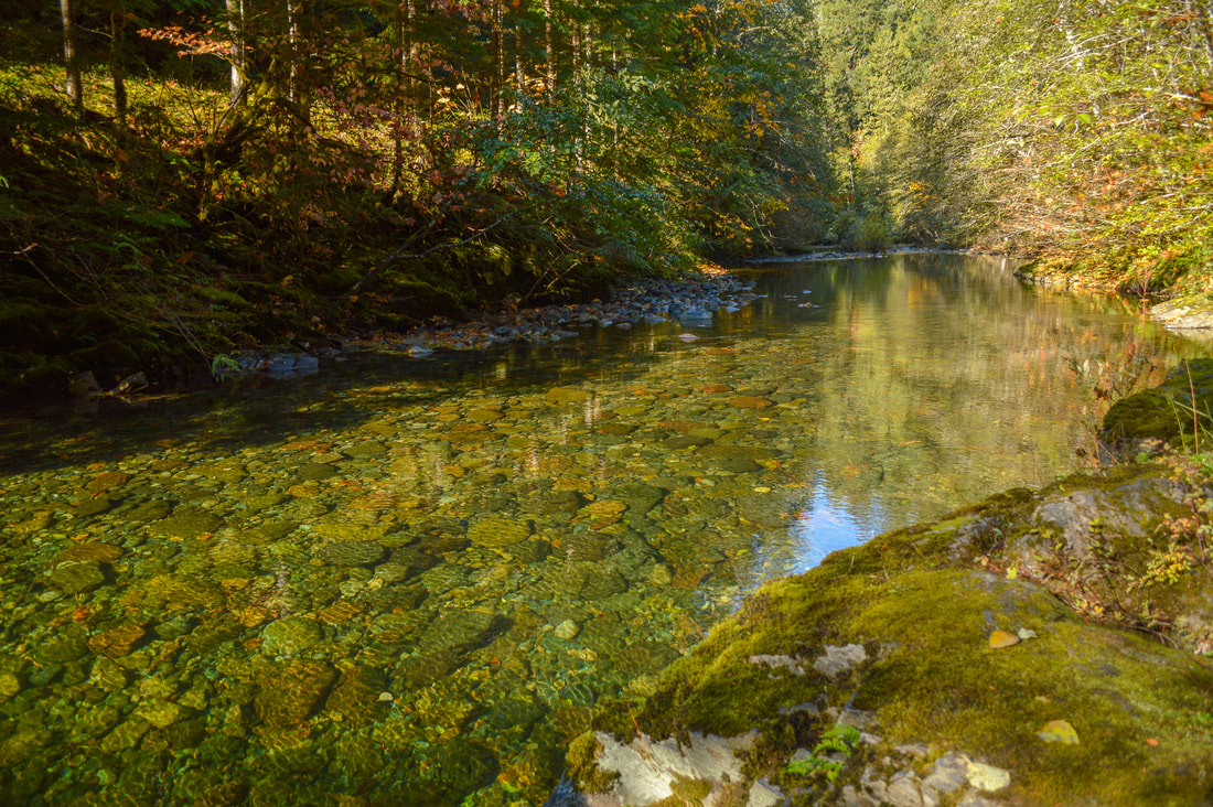
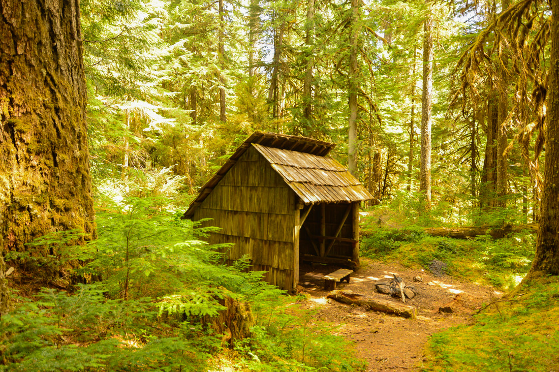
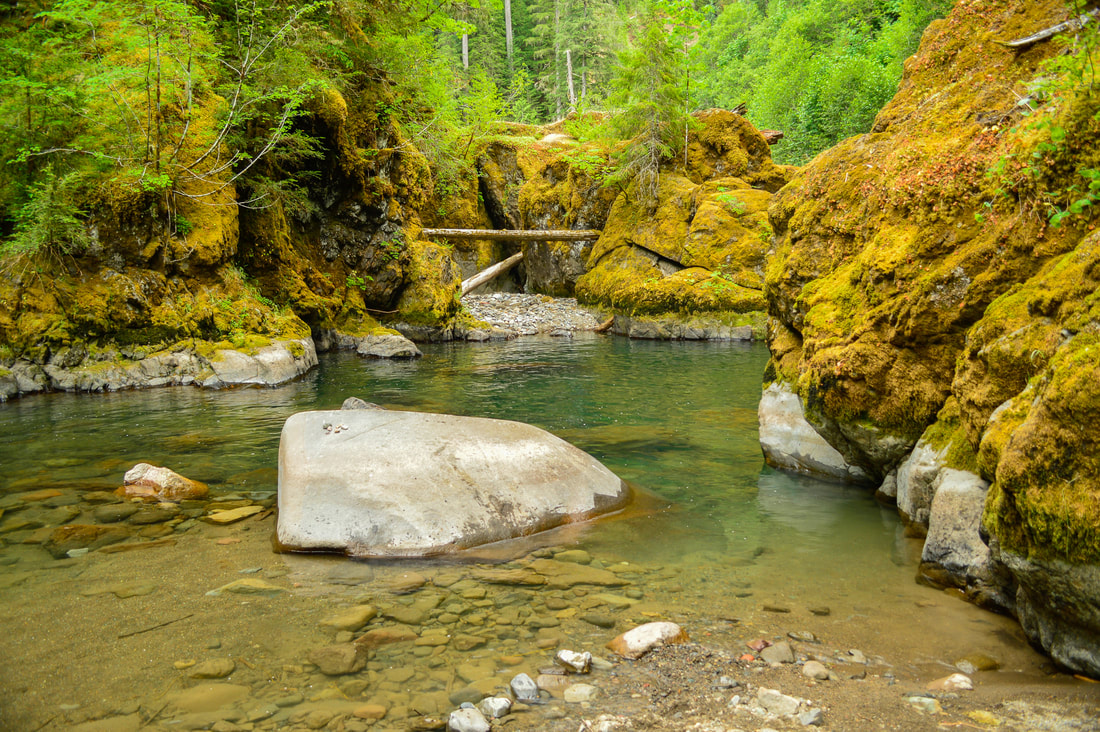
About the hike: The Middle Santiam River is a beautiful hidden gem near Sweet Home that is perfect for a day of swimming with the family or even a quick overnight camp trip. Enjoy a rocky beach at this perfect swimming hole of emerald colored water near a 3-sided shelter that is nestled in the trees. This location couldn't be any more perfect for the family to enjoy a day away from the sweltering heat in the city.
(Click here to read more about this hike and to get directions- this post is for members only, you can purchase the seasonal membership for $9.99)
Here are a few more awesome swimming spots: Trillium Lake (car access), Erma Bell Lakes, Waldo Lake (car access), Fawn and Stag Lakes, Eddeeleo Lakes, Larison Creek, Rigdon Lakes, Patjens Lakes, No Name Lake (glacier melt, insanely cold!), Rockpile Lake, Santiam Lake, Indigo Lake, Camp Lake, Green Lakes, Marion Lake.
*All pictures are taken by Franziska Weinheimer
*Disclaimer: All of the water in Oregon is VERY cold! Please use caution when entering into these bodies of water and never go swimming alone! The trail descriptions, mileage, GPS tracks and difficulty ratings depicted on this website are never 100% accurate. Always hike at your own risk, using your own knowledge, equipment and common sense. Franziska Weinheimer/Hike Oregon are not responsible if you or anyone in your party gets injured or lost while attempting one of these or any other hikes.

