Olallie Mountain
Hike details:
Mileage: 7.2 miles round trip w/ 1,460 ft. elevation gain
Approximate hike time: 3 hours 10 minutes w/ an average pace of 2.3 mph
Difficulty: Moderate
Trail usage: Low
Highest elevation: 5,700 ft. Lowest elevation: 4,525 ft.
General location: 20 miles southeast of Blue River - Three Sisters Wilderness - Willamette National Forest
Accessible: Mid-June through November
(Best time to go is August through November. Avoid June and July due to horrendous mosquitoes).
Permits required: Day trips - Free self issue wilderness permit June 15 - October 15 available at the trailhead
Overnight trips - Central Cascades Wilderness Permit June 15 - October 15 available at recreation.gov
Northwest Forest Pass for parking
Pit toilet at trailhead: No
Trail allows: Dogs, horses, camping
Possible dangers: Hiking through burn scar
Description:Olallie Mountain is a low trafficked trail in the Three Sisters Wilderness leading through sub-alpine meadows up to the site of an old, now burned down, fire lookout. The summit offers amazing views of the Cascade Mountains. **Since this write-up and photos went up on the website in 2015, there has been a wildfire in the area (2017 Olallie Lookout Fire). The trail has been maintained since but it will look a bit different.
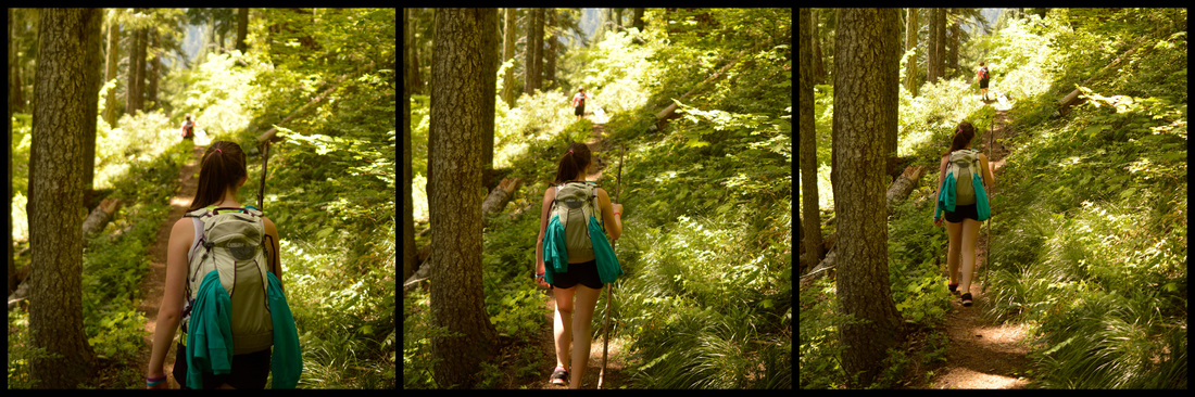
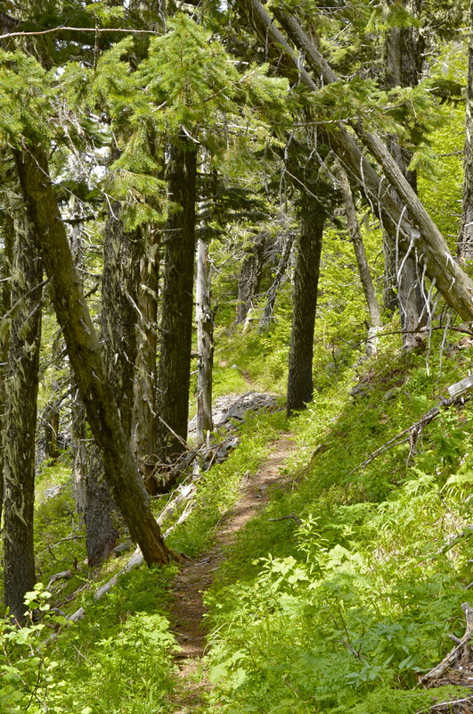
The trail starts at the far end of a large parking loop. There are two trailheads here so make sure you are taking the trail at the far left of the parking area. The hike begins with a slight but steady incline through thick green forest. After 0.5 miles you come across a creek called Mosquito Creek. If you are into some serious bush whacking, you can follow the creek upstream to Wolverine Lake, but the thick brush and swarms of mosquitoes makes it look pretty unappealing. After crossing Mosquito Creek, you will hike another 1.6 miles until you come to a trail junction. |
|
|
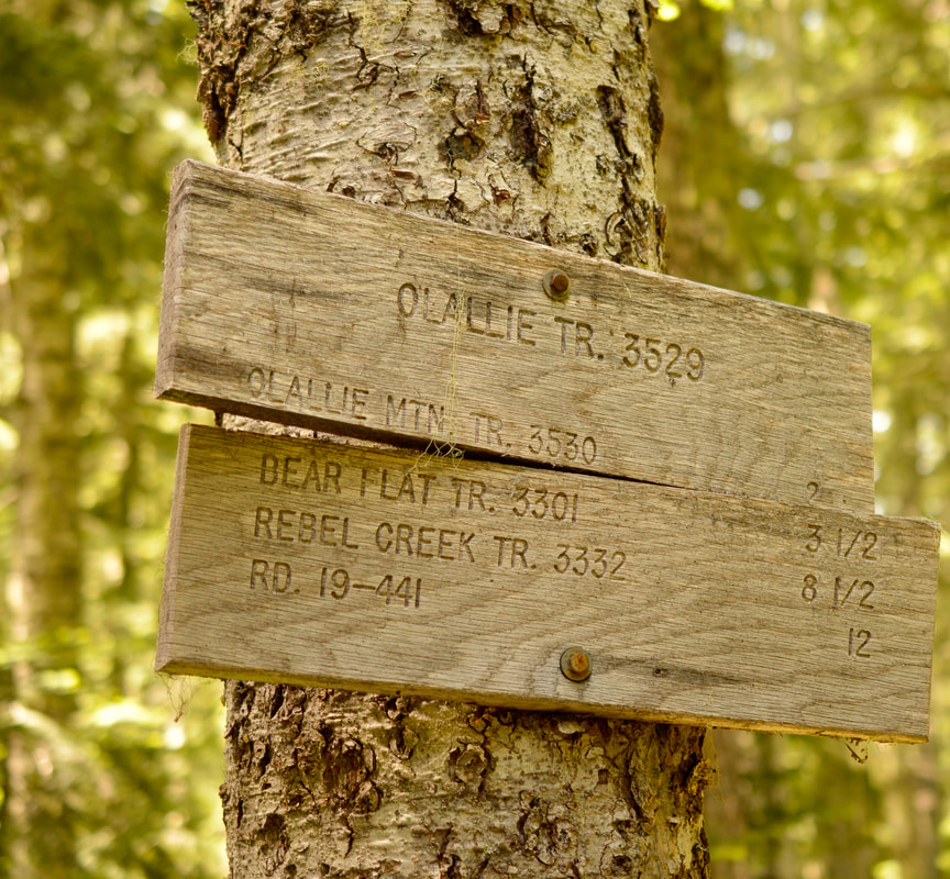
This junction is very important, as it frequently becomes the point of getting lost for many folks who attempt this hike. Because the second part of Olallie Mountain trail is quite overgrown, it can be hard to see the trail to the right, and therefore you may even miss the intersection and end up going 1 mile downhill to Olallie Meadows, which ultimately takes you farther down to Horse Lake. Make sure you are taking the trail to your right and that it is going uphill instead of going slightly left and heading downhill.
|
|
This is where in 2012 University of Oregon professor Daming Xu got lost and ended up perishing, his body never found, only a few of his belongings were recovered. This is definitely a hike that you want to do with a hiking buddy, and don't try to hike it too early in the season when there might still be snow. The recommendations are late June to early October, but it always depends on the snow year.
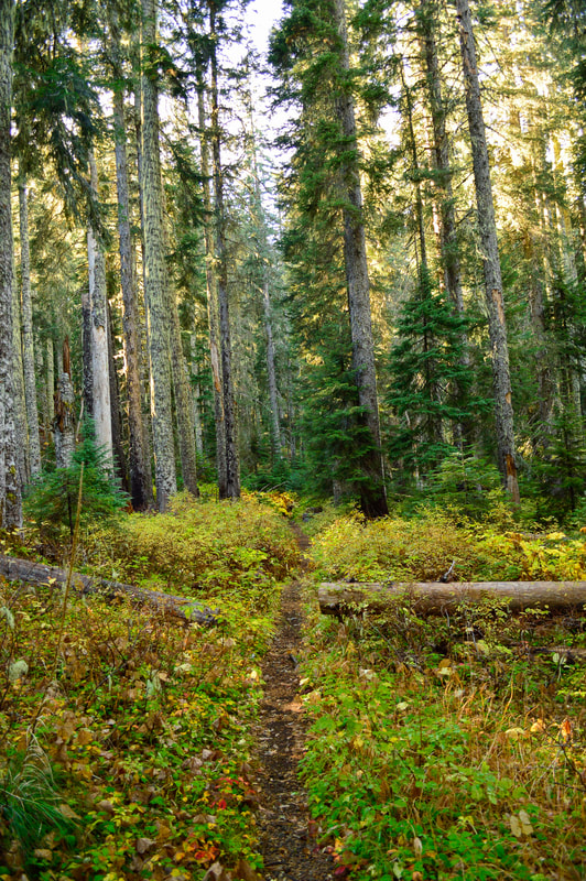
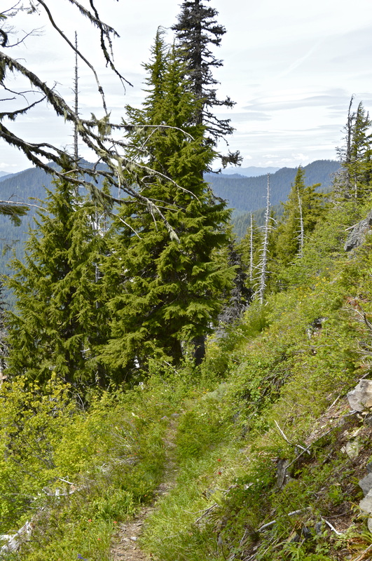
The next 1 mile section of trail is very overgrown with bear grass. Because so few people hike this trail, the tough bear grass has taken over a bit. If it has rained recently, make sure to bring rain pants or gaiters on your hike in order to keep your pants and shoes dry. After about a mile, the trail opens up into some beautiful meadows (this is where you would be likely to encounter a bear). Here you can also admire the many wildflowers that grow in these meadows in June and July. |
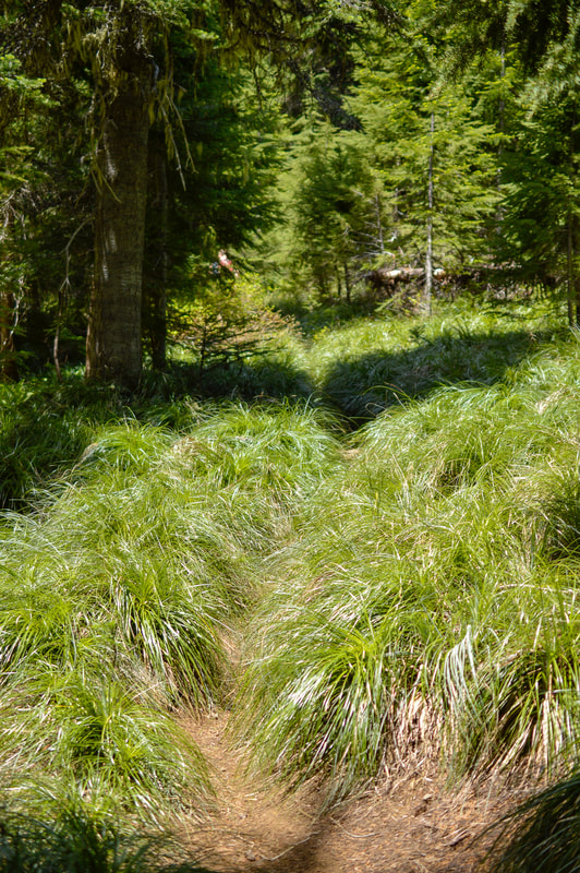
(the trail covered in bear grass)
|
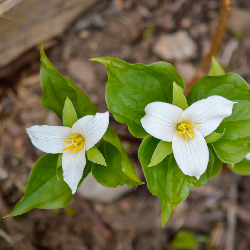
(Trillium)
|
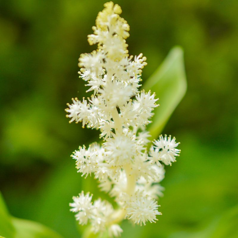
(false Solomon seal)
|
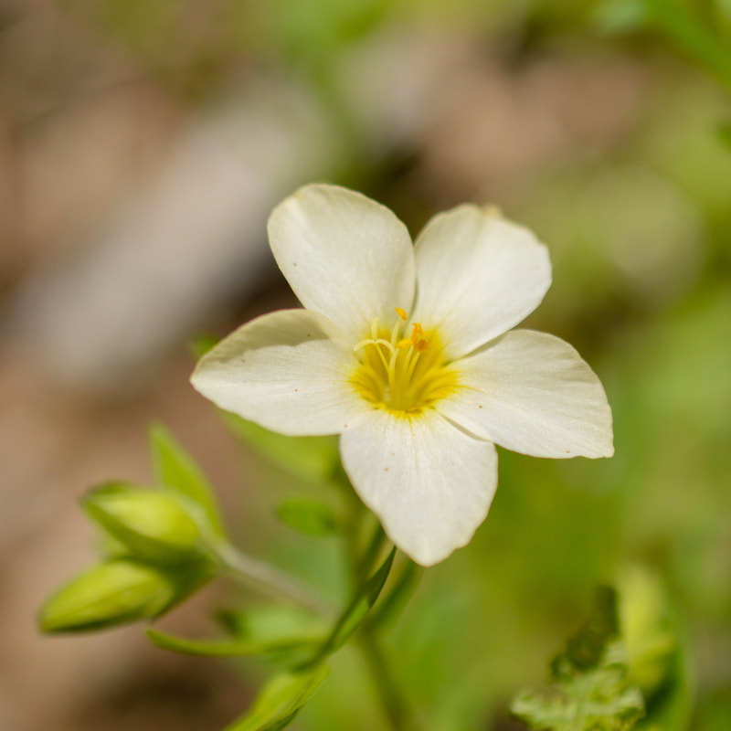
(Jacob's Ladder)
|
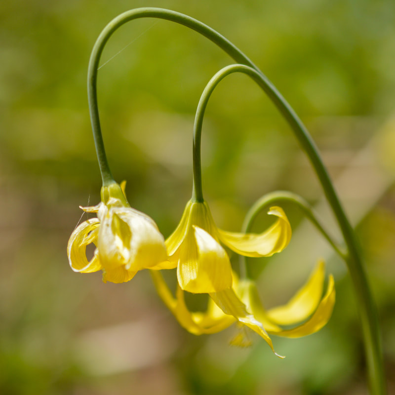
(Yellow Avalanche Lily)
|
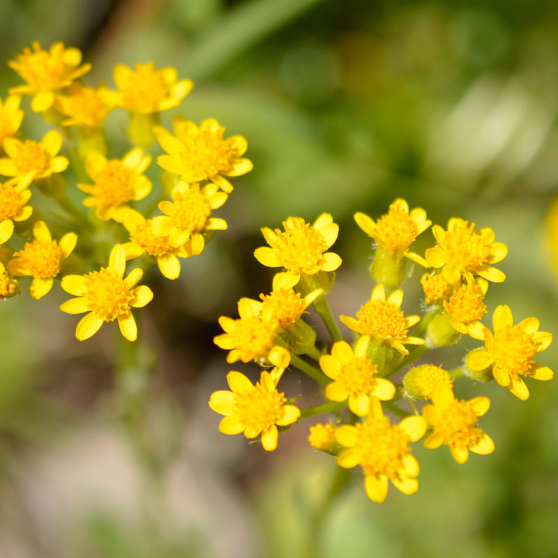
(Ragwort)
|
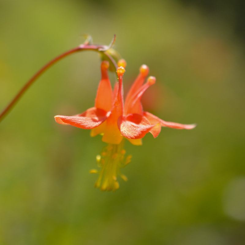
(Western Columbine)
|
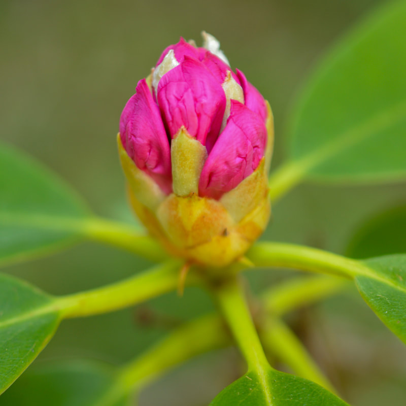
(Rhododendron)
|
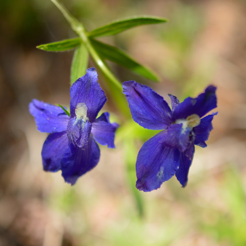
(Upland Larkspur)
|
The last 0.5 miles are very open, the trail gets a little rockier and you have a bit of exposure to the right side. It is also much steeper here, but you are so close to the top, so the anticipation of epic views of the Cascades will keep you going. On this section of trail you are looking out to the west towards the Willamette Valley.
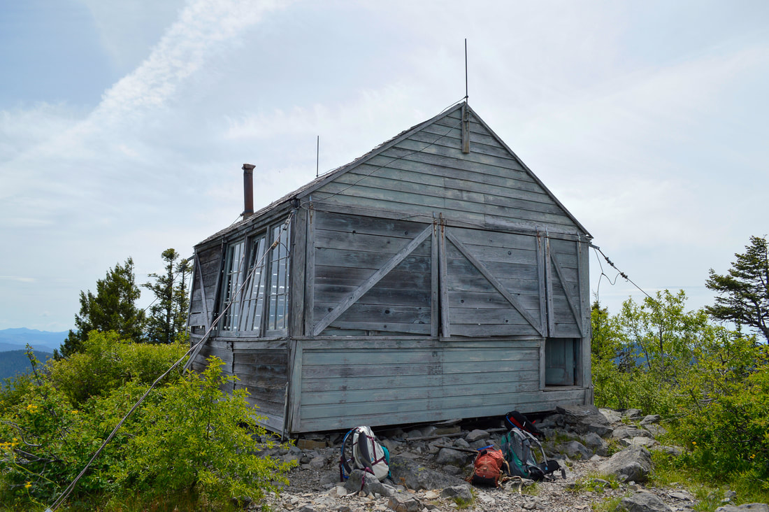
(Olallie Lookout cabin)
The top of Olallie Mountain is at 5,688 feet elevation and there used to be an old fire lookout cabin here. This fire lookout was built in 1932, so it was 88 years old before it burned down in June 2020. The 14’ x 14’ L-4 ground house hasn't been staffed in a very long time, and was definitely showing signs of age. The Sand Mountain Society did some emergency shoring up inside to keep a wall and ceiling from collapsing. Last time I was there, there were still some building supplies inside waiting for some more repairs. In 2017 the Olallie Mountain wildfire burned the entire hill and around the lookout and luckily the lookout survived the fire.
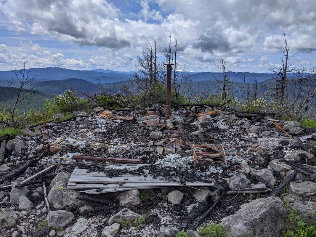
(cabin after it burned down in 2020 - photo by Steve Johnson)
From the summit of Olallie Mountain you get some pretty spectacular close-up views of the Cascade Mountains, in particular the Mount Bachelor, the Three Sisters, Mt. Washington, Three Fingered Jack and Mt. Jefferson. The views are endless and one could spend hours up here looking at the landscape!
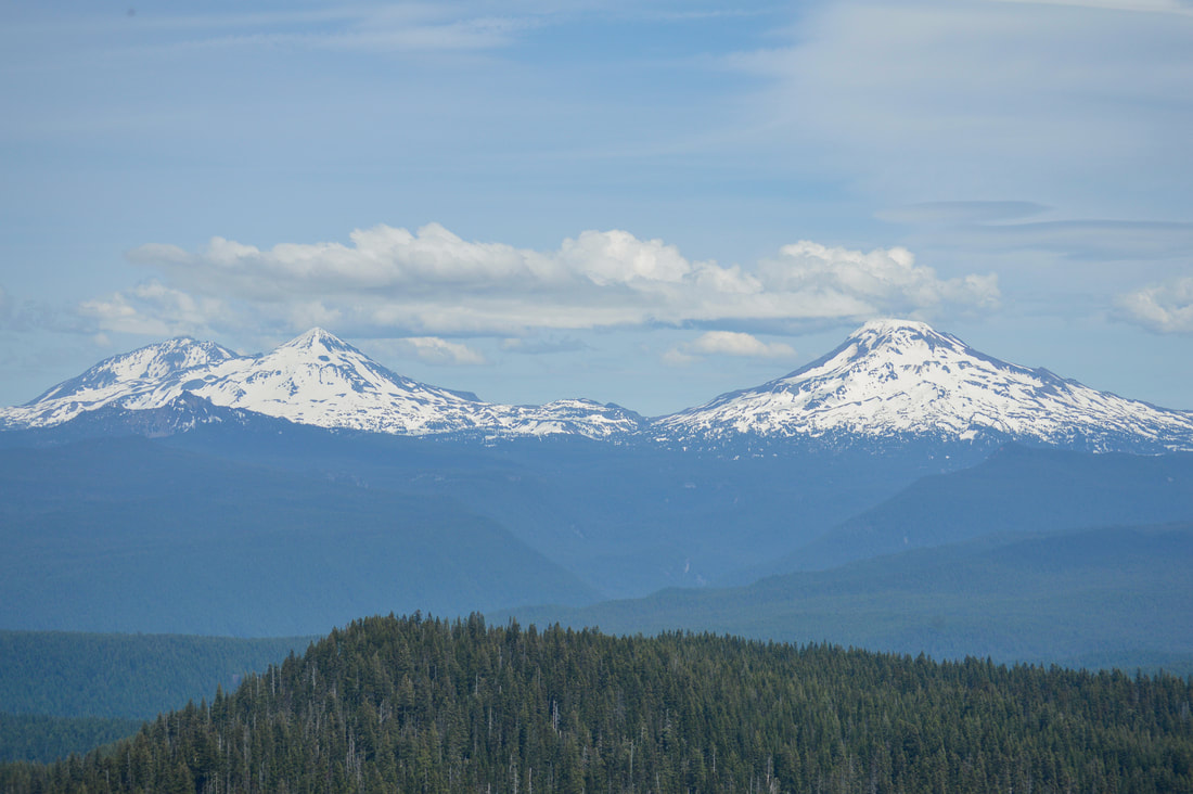
(the Three Sisters)
|
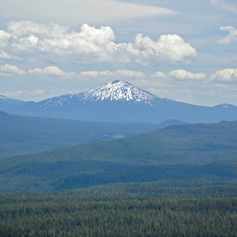
(Mount Bachelor)
|
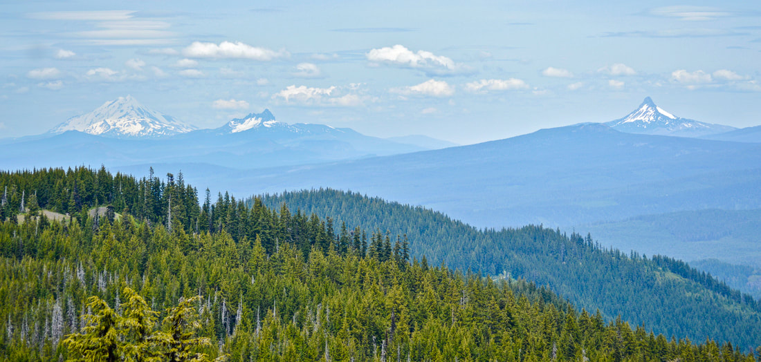
(Mount Jefferson, Three Fingered Jack, Mount Washington)
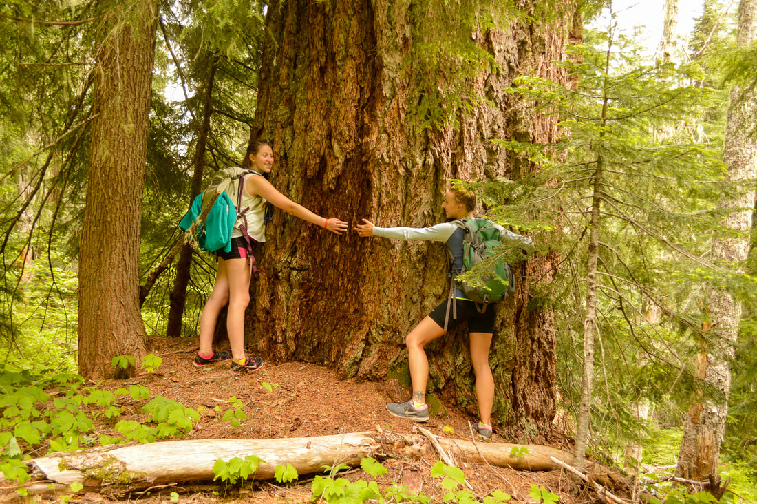
Overall, this hike is one of the best hidden gems in the McKenzie foothills area. If you want solitude on a hike, this one is it! Before the cabin burned down, the trail log book indicated that only about 2-5 people per week go up to the top of Olallie Mountain during the summer season. This may be because it is so far out of the way, or that a wildfire swept through this area in 2017. The trailhead is very remote and the road is pretty rough. But if you have a good car, take some buddies and go on this awesome hike! July is a great time to go because of all of the beautiful flowers, and it also isn’t quite so hot yet, but take some bug spray because the mosquitoes tend to love this area during that time.
|
|
Directions:
From Eugene
- Drive OR-126 east for about 45 miles. Between mileposts 45 and 46 turn right at the Cougar Reservoir sign and continue on Aufderheide Rd. 19 for 2.5 miles. Turn left and cross Cougar Dam and follow NF-1993 for a long, windy, partially gravel 15.4 miles. Park at the well-marked Pat Saddle trailhead on the right. The Olallie Mountain trail starts at the far end of the parking loop. (Total of 65.2 miles)
- Drive US-97 north for 2.1 miles then take exit 135A to merge onto US-20 W toward Sisters for 19.9 miles. In the town of Sisters at the traffic circle, take the 2nd exit and stay on US-20 W for another 25.1 miles, then keep left to stay on US-20 W for 3.3 miles. Turn left onto OR-126 E and stay on this road for 29.3 miles, then turn left onto Cougar Dam Rd/NF-19 for 0.4 miles. Make a slight right onto Aufderheide Dr. for 2.9 miles. At a Y junction turn left onto NF-1993 for a long, windy, partially gravel 15.4 miles. Park at the well-marked Pat Saddle trailhead on the right. The Olallie Mountain trail starts at the far end of the parking loop. (Total of 98.4 miles)
- It is a total of 128 miles via Eugene.
- It is a total of 169 miles via Eugene.
- It is a total of 233 miles via Eugene.
-This trail write-up was last updated October 2015-
*All pictures are taken by Franziska Weinheimer
*All pictures are taken by Franziska Weinheimer
*Disclaimer: The trail descriptions, mileage, GPS tracks and difficulty ratings depicted on this website are never 100% accurate. Always hike at your own risk, using your own knowledge, equipment and common sense. Franziska Weinheimer/Hike Oregon are not responsible if you or anyone in your party gets injured or lost while attempting one of these or any other hikes.