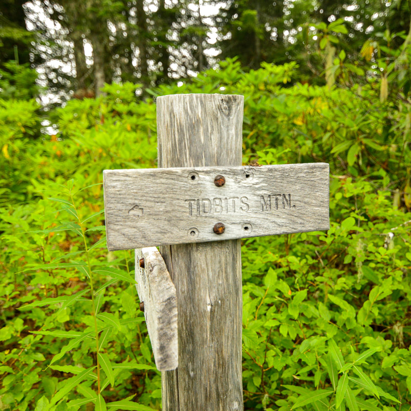
Tidbits Mountain
Hike details:
Mileage: 3.75 miles round trip w/ 1,125 ft. elevation gain
Approximate hike time: 1 hour 35 minutes w/ an average pace of 2.3 mph
Difficulty: Moderate
Trail usage: Low on weekdays, low to medium on summer weekends
Highest elevation: 5,120 ft. Lowest elevation: 4,035 ft.
General location: 12 miles north of Blue River - Willamette National Forest
Accessible: June through early December
(Best time to go is mid-June when the wildflowers are blooming and end of August when the huckleberries are ripe).
Permits required: N/A
Pit toilet at trailhead: No
Trail allows: Dogs
Possible dangers: Areas of trail with steep drop offs, drop offs at the summit viewpoint, rocky trail
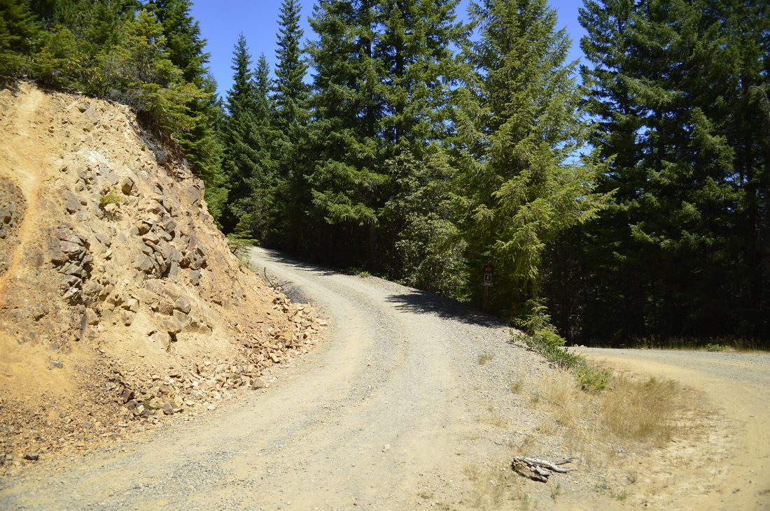
(where the road splits to go to the upper parking area)
Description:
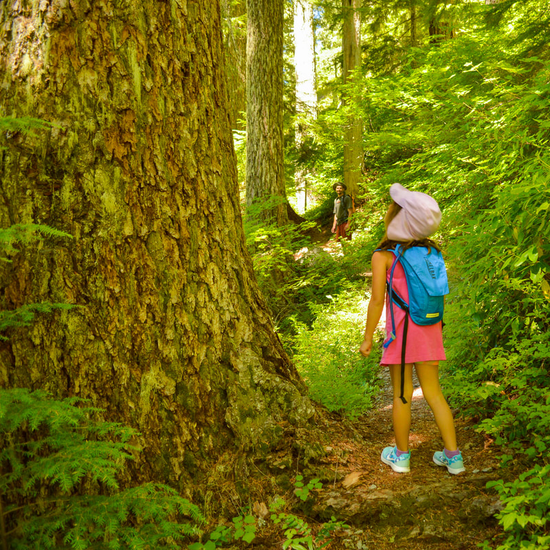
Tidbits Mountain is the perfect late spring and early summer kid-friendly hike, and it offers beautiful views of the Cascade mountains from the top. The 0.2 mile gravel road that takes you up to the official parking area and trailhead is very steep with huge potholes, so make sure your car can handle this before going up. If you rather not risk it, you can park along the side of the gravel road at the bottom of the hill and walk up the extra 0.2 miles.
|
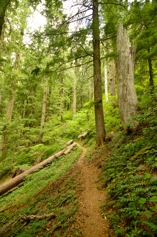
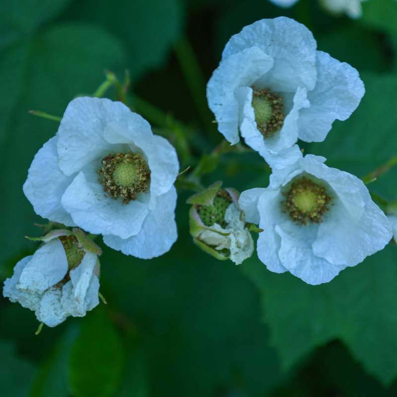
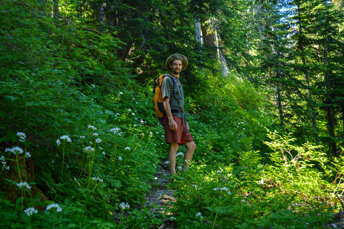
The first 1.3 miles of the trail trends uphill through a beautiful dense old growth forest. The southwest facing hill that this trail goes up, is lined with rhododendron bushes which bloom in early June. Depending on the time of year you are hiking in, this area also has an abundance of wild ginger, vanilla leaf and star-flowered smilacina and many beautiful wildflowers.
|
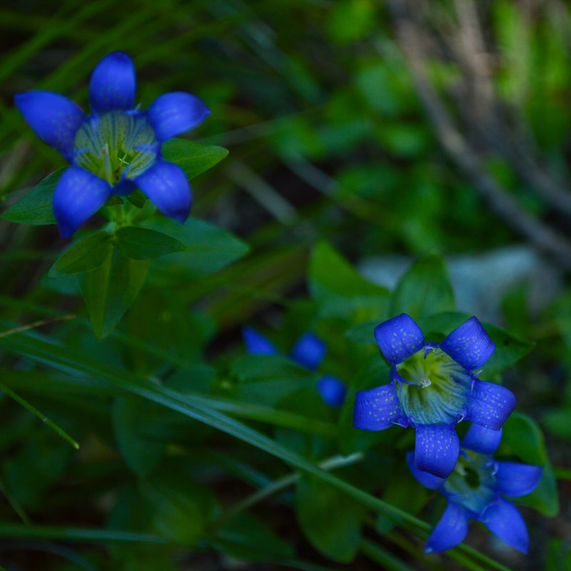
(Pleated Gentian)
|
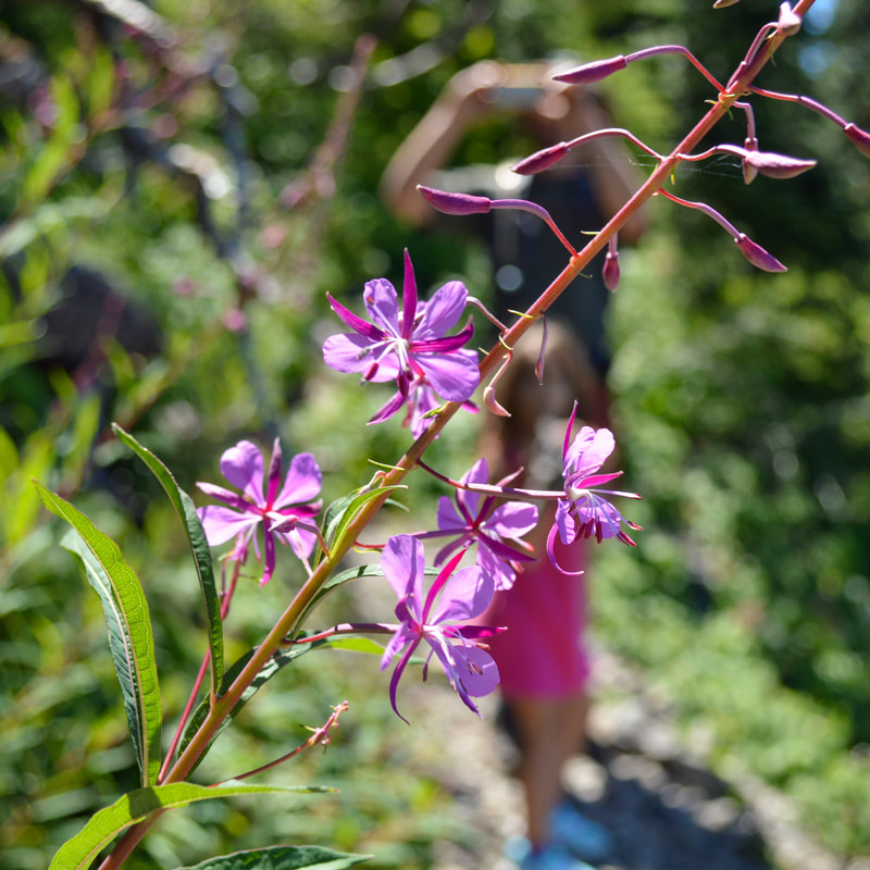
(Fireweed)
|
|
|
|
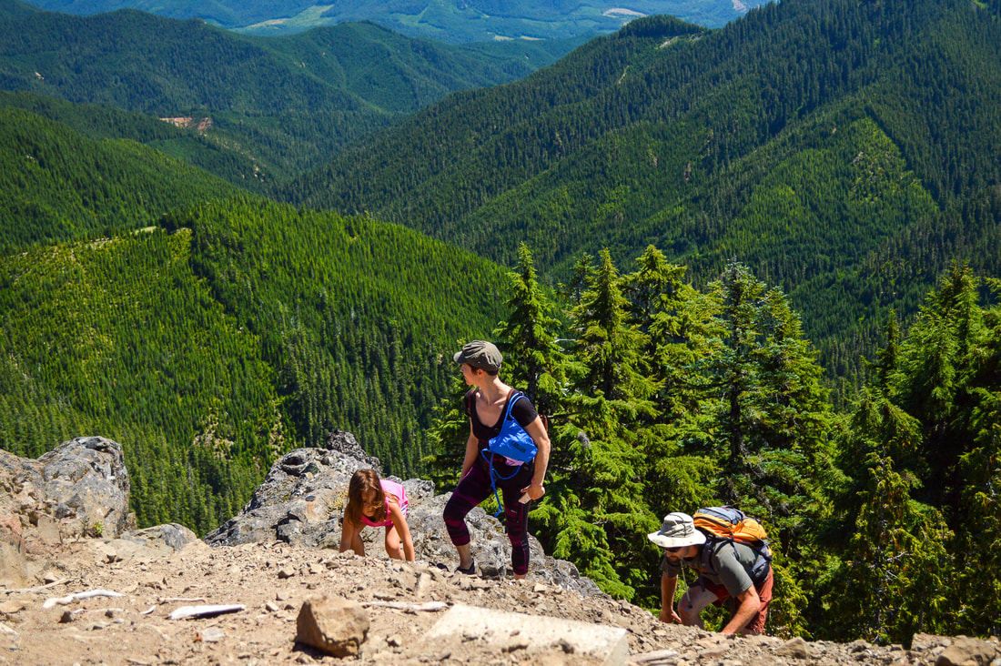
After 1.3 miles you will come to a trail junction. The trail to the right leads to Road 1509 which is likely the road they used in the 1930's to send supplies up to the Forest Service fire lookout that once stood at the top of Tidbits Mountain. The lookout has since collapsed and fallen down the mountain, but you can still find a few remains at this very spot today. Take the trail to the left to continue on to Tidbits Mountain. After the junction, the trail gets a bit steeper and you will have a bit more exposure to your right. The trail along this section of the trail is quite rocky, but the rocks that you are walking on are fairly large, and even though some of them can be wobbly, they are not going to slide down the hill.
|
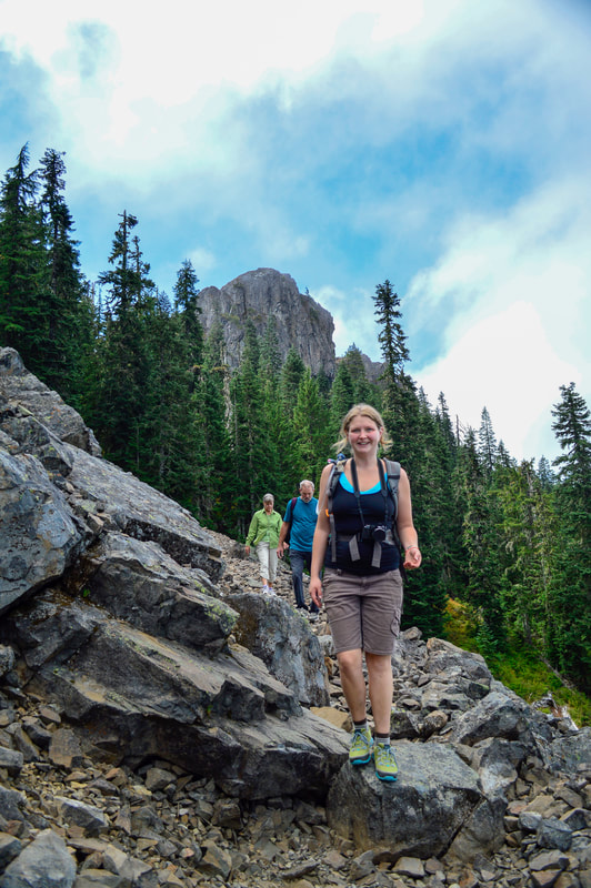
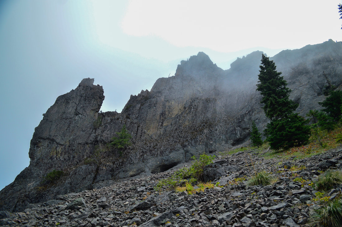
Overhead you can see the huge pinnacles of Tidbits Mountain and there are even a couple of caves up there. If you are adventurous, you could definitely scramble up and check them out. This exposed section is not more than 0.3 miles long and then you enter the woods again, although this time on the northwest side of the mountain and the higher elevation, the trees are smaller and the ground is a bit rockier here.
|
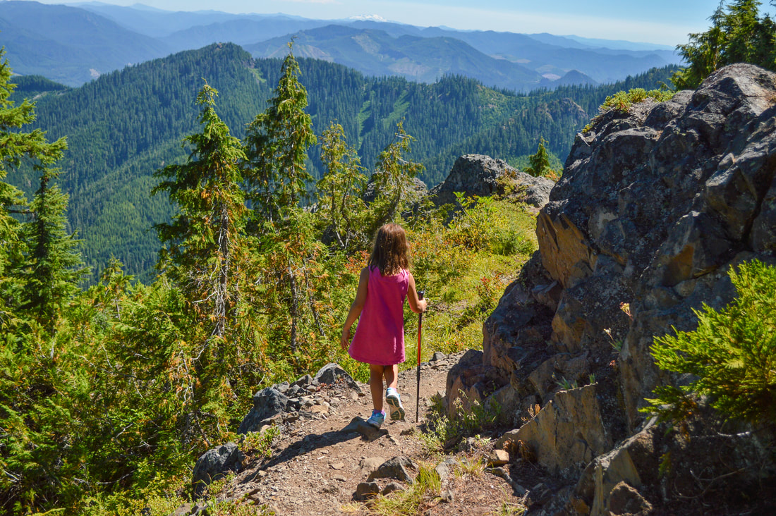
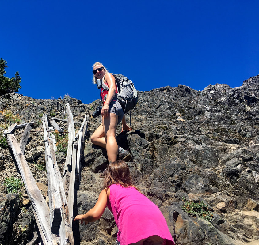
As you come around the northwest side of the mountain, you will see another trail junction, this one without a sign. The trail to the right heads downhill 0.3 miles to Road 335. Take the trail to the left and continue heading uphill another 0.2 miles to the Tidbits Mountain summit. There is a great lookout point to the east towards the Three Sisters, and if you are with smaller children it is suggested that you end your hike here. If you are traveling with friends or with older children, you can scramble up a bit farther where the fire lookout once stood. It is a fairly easy scramble and the top is a few hundred square feet of flat rock. The 360 degrees views from the top are spectacular!
(lower viewpoint)
(climbing up to Tidbits Mountain upper viewpoint/summit)
|
|
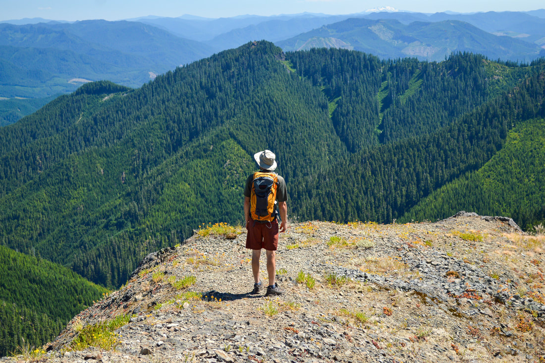
From the upper viewpoint/summit of Tidbits Mountain (at 5,120 ft. elevation), you will have 360 degree views! To the east (from south to north) you will see Diamond Peak, Mount Bachelor, the Three Sisters, Mount Washington, Mount Jefferson and even Mount Hood! To the south you can sometimes faintly see Mount Thielsen on a very clear day, and to the west you will see the many layers of rolling hills of the McKenzie and Willamette Valley.
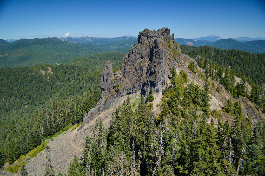
(view of the second Tidbits Mountain from the summit)
Tidbits Mountain is a must-do hike for everyone! Most of the hike takes you through a beautiful forest with a pretty even trail. The short rocky section does have some exposure but the trail is pretty wide. Some of the rocks can be loose, so take it slow and just watch your step. Because this hike isn't very long and it has so much to see as far as wildflowers and views, this one of the best kid-friendly hikes near the Eugene/Springfield area!
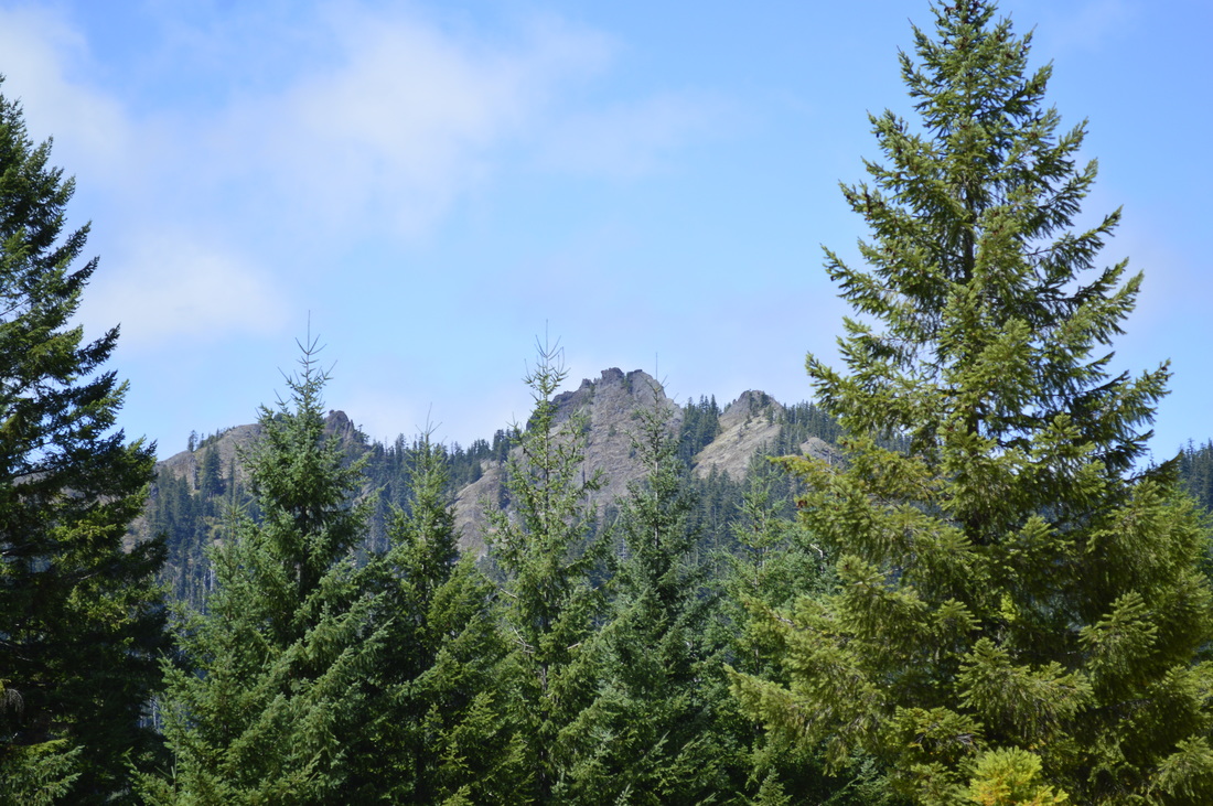
(from the road below the parking area, you can see both pinnacles of Tidbits Mountain)
Directions:
From Eugene
- Drive OR-126 east of Eugene/Springfield for 44 miles. Past the town of Blue River near milepost 44 turn left onto NF-15 at the Blue River Reservoir sign. Follow this road for 4.8 miles and then continue to the left at a Y junction on gravel road NF-1509 for 8.3 windy miles. Turn left onto Rd. 877 and drive 0.2 miles to the trailhead at the road's end. Road 877 is rough and extremely steep, so feel free to park at the bottom and walk the 0.2 miles up to the trailhead. (Total of 60 miles)
- Drive US-97 north towards Redmond and then merge onto US-20 W towards Sisters. After the town of Sisters continue on US-20 W for another 28.4 miles and then turn left onto OR-126 E towards Eugene for 30.9 miles. At a sign for Blue River Reservoir near milepost 44, take a sharp right onto NF-15. Follow this road for 4.8 miles and then continue to the left at a Y junction on gravel road NF-1509 for 8.3 windy miles. Turn left onto Rd. 877 and drive 0.2 miles to the trailhead at the road's end. Road 877 is rough and extremely steep, so feel free to park at the bottom and walk the 0.2 miles up to the trailhead (Total of 96 miles)
- It is a total of 121 miles via Eugene.
- It is a total of 130 miles via Eugene.
- It is a total of 223 miles via Eugene.
|
To get a more in-depth and personal view of this hike, watch the YouTube video.
|
-This trail write-up was last updated July 2017-
*All pictures are taken by Franziska Weinheimer Disclaimer: The trail descriptions, mileage, GPS tracks and difficulty ratings depicted on this website are never 100% accurate. Always hike at your own risk, using your own knowledge, equipment and common sense. Franziska Weinheimer/Hike Oregon are not responsible if you or anyone in your party gets injured or lost while attempting one of these or any other hikes.
|