Goodman Creek
Hike details:
Mileage: 7.8 miles round trip w/ 1,510 ft. elevation gain
Approximate hike time: 3 hours 25 minutes w/ an average pace of 2.3 mph
Difficulty: Moderate
Trail usage: Medium to high on weekends (depending on the weather and muddiness of the trail), low on weekdays
Highest elevation: 1,758 ft. Lowest elevation: 972 ft.
General location: 21 miles east of Eugene - Willamette National Forest
Accessible: Year-round
(This trail is great all year, but it can get pretty muddy if you go after many days of rain. The trail is popular with mountain bikers during the dry season, so maybe avoid this hike from June through October).
Permits required: Northwest Forest Pass for parking
Pit toilet at trailhead: Yes
Trail allows: Dogs, mountain bikes
Possible dangers: N/A
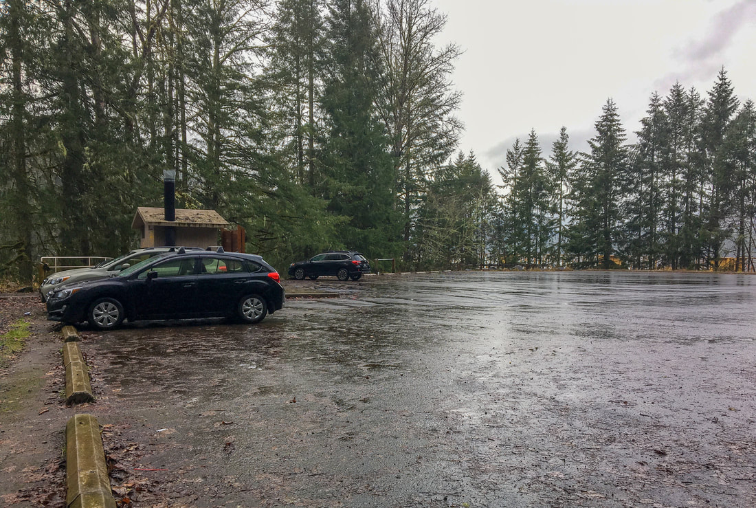
(Hardesty Trailhead parking lot)
|
Description:Goodman Creek Trail is a very accessible hike only 21 miles east of Eugene. This is the perfect hike to do when the weather is foggy and cold and there is snow at higher elevation hiking spots. The trailhead is large, with parking for about 25 - 30 cars, as well as a pit toilet. Because this trailhead is heavily used by hikers, mountain bikers and just people who are driving past the trailhead on highway 58, the pit toilet can get pretty nasty. Please be courteous and pack out your trash if you have some and do not leave it at the pit toilet!
This trailhead is called Hardesty Trailhead, and it is the starting point for three different trails, the Hardesty Mountain, the South Willamette Trail and the Goodman Creek Trail. |
|
|
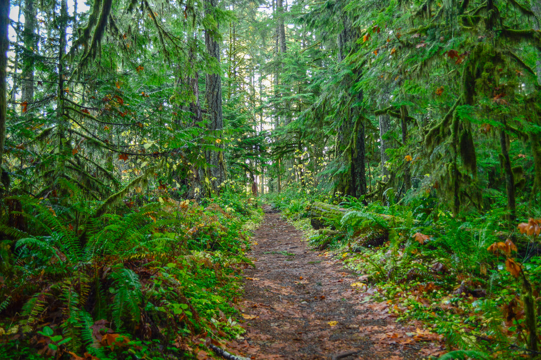
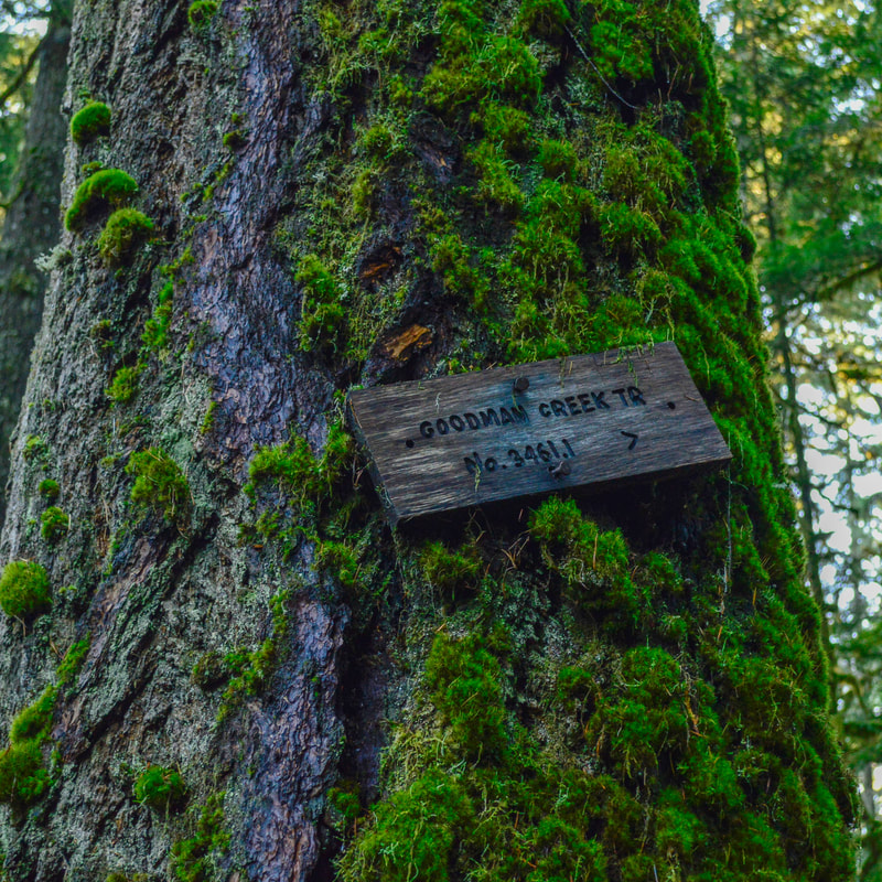
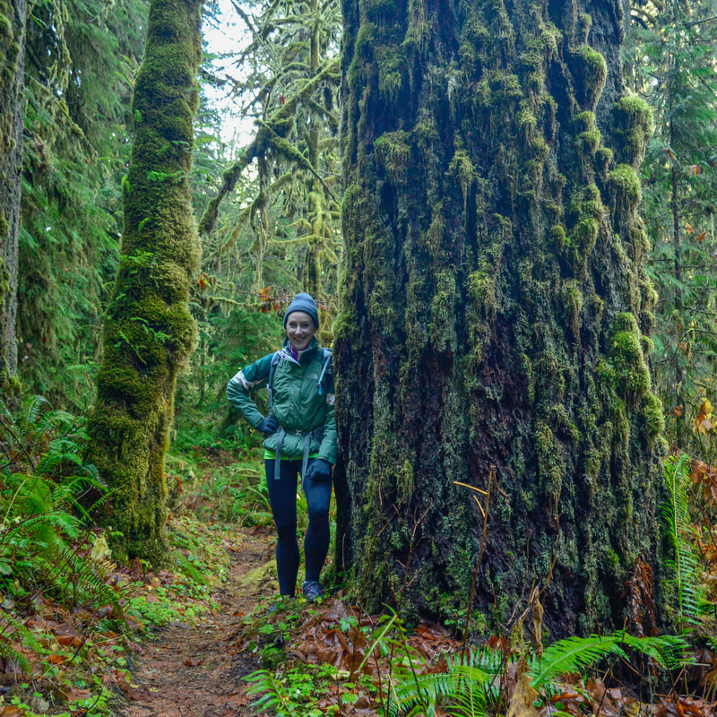
To start the hike, you will take the Hardesty Trail out of the parking area and after 0.2 miles you will come to a trail split. There is a small old wooden sign way up on one of the trees that signifies the Goodman Creek Trail #3461 and it can be easily missed. From here, the trail goes uphill through a thick old-growth Douglas fir forest, brightened in spring by the beautiful white trillium blossoms that line the trail. When the weather has been rainy, this section of trail can become extremely muddy and slippery. **Please use great care to not step off the trail when there is a puddle or mud. Stepping around the mud puddle widens the trail and ruins the trail-side flora. Grab your waterproof boots, and just go right through those puddles!
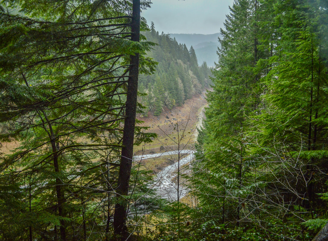
(Goodman Creek viewpoint)
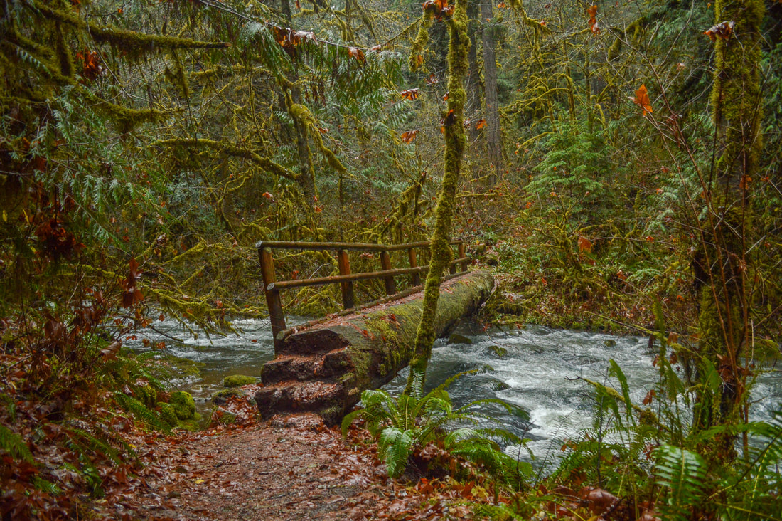
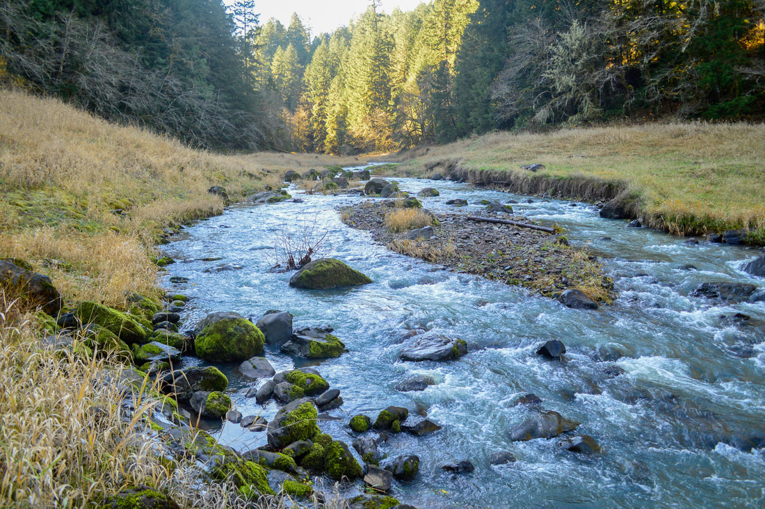
1 mile after the trail split you will arrive at a viewpoint over Goodman Creek. Even when the weather isn't the best, this view is worth a little stop. From here the trail meanders downhill for half a mile and crosses Goodman Creek on a log bridge with one hand railing. If you are hiking with small children, please be careful here as the bridge can be slick.
|
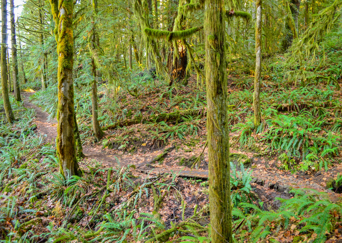
Now you are on the other side of Goodman Creek, and the forest becomes more dense with bushes, vine maples, large ferns and more old-growth trees. The trail follows the creek uphill for 0.3 miles and then the trail leaves Goodman Creek and heads up a side valley for another 1.8 miles until you come at the end go the Goodman Creek Trail.
|
(Goodman Creek crossing)
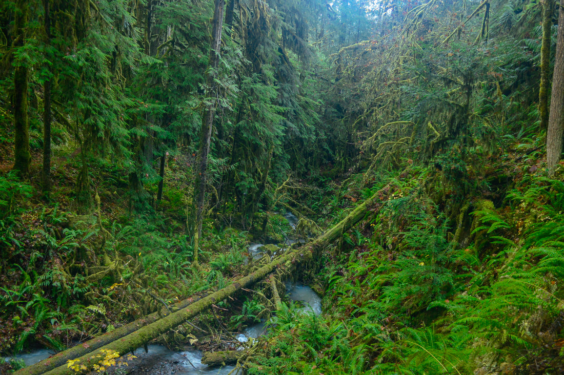
(Goodman Creek)
|
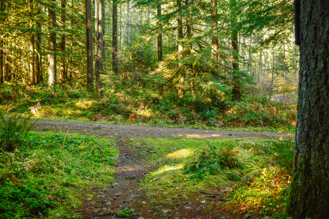
The trail pops out onto Goodman Creek Road and a little bit to your right, you will see a spur road where the trailhead for Eagle's Rest is. If you are wanting to get a large amount of miles in, you can continue on the Eagle's Rest Trail for another 2.5 miles to its summit. This would make your hike 12.8 miles round trip. If you're not wanting to hike this kind of mileage, turn around here and head back the way you came and come back to check out Eagle's Rest another day.
Goodman Creek Trail is a great hike close to Eugene, and perfect for those winter months when the days are short and often rainy. The terrain is not difficult at all, just be careful not to slip when the trail is muddy. Also be careful crossing the creeks along the way, especially when the water is high in the springtime. Other than that, this trail is suitable for all ages and fitness levels, and it is not terribly steep and not rocky. During the dry months, this trail is popular with mountain bikers, so please use caution, follow proper trail etiquette, and maybe just avoid this hike from June through October. |
(end of Goodman Creek Trail)
|
(Goodman Creek)
Directions:
From Eugene
- Drive on OR-58 E for 21 miles. Right after passing Goodman Creek Rd. pull off into the large marked parking lot on your right. (Total of 21 miles)
- Drive on US-97 S for a total of 46.9 miles, then turn right onto Crescent Rd./Crescent Cutoff Rd. for 12 miles. Turn right onto OR-58 W for 51.9 miles and find the Hardesty trailhead on your left. (Total of 111 miles)
- Total of 89 miles via Eugene.
- Total of 133 miles via Eugene.
- Total of 181 miles via Eugene.
-This trail write-up was last updated in December 2015-
*All pictures are taken by Franziska Weinheimer
*All pictures are taken by Franziska Weinheimer
*Disclaimer: The trail descriptions, mileage, GPS tracks and difficulty ratings depicted on this website are never 100% accurate. Always hike at your own risk, using your own knowledge, equipment and common sense. Franziska Weinheimer/Hike Oregon are not responsible if you or anyone in your party gets injured or lost while attempting one of these or any other hikes.