Best Oregon Waterfall Hikes
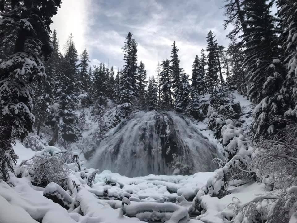
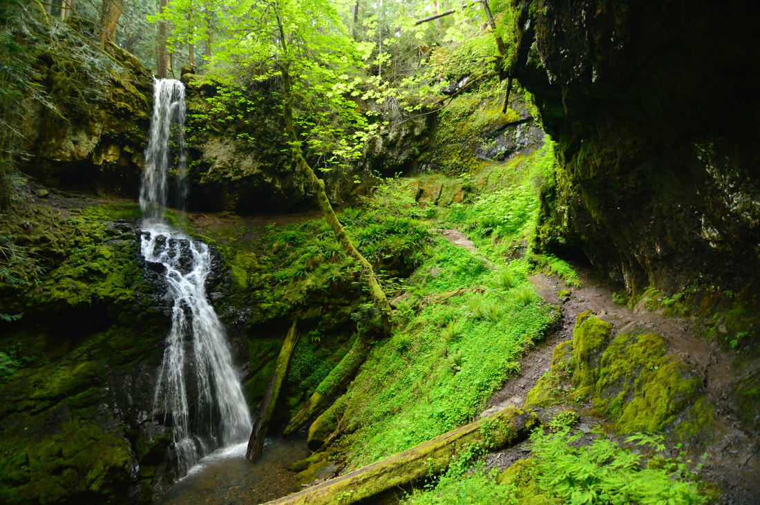
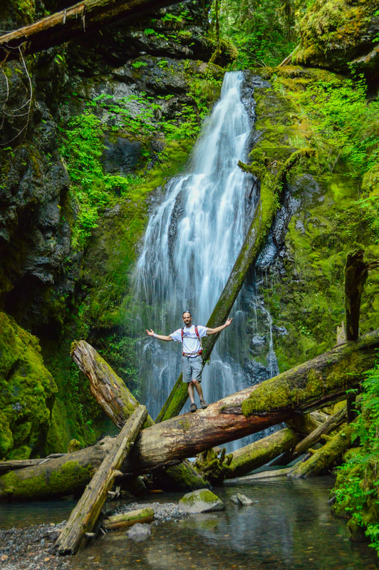
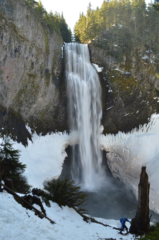
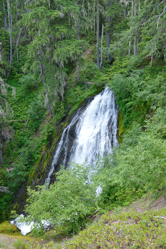
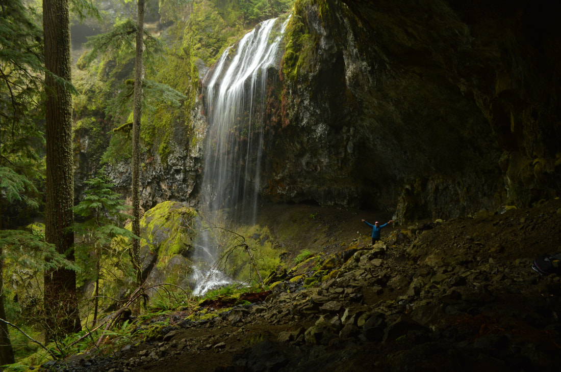
Oregon has some of the best waterfall hikes in the country! Waterfall hikes are perfect for the winter and early spring season because many of them are at lower elevations and are not covered in snow. There are thousands of amazing waterfalls in Oregon, but here are 20 waterfall hikes that each have their own little piece of magic.
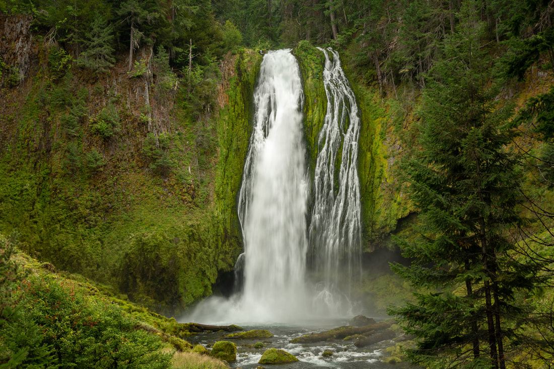
1) Lemolo Falls
Closest town: Chemult
Trail type: Out and back
Mileage: 2.5 miles w/ 600 ft. elevation gain
Terrain difficulty: Moderate
Trail usage: Low
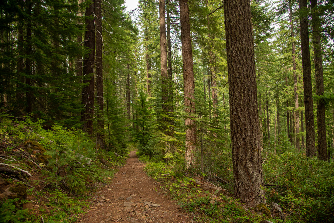
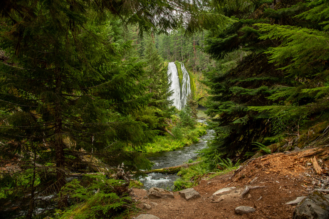
About the hike: Lemolo Falls can be reached via two different trails on either side of the North Umpqua River. The trail on the north side of the river is a short section of the North Umpqua River Trail that takes you to a lookout spot where you can see the falls from above. The trail described in this write-up is on the south side of the river and it actually takes you down to the bottom of this incredible 165 foot Southern Oregon waterfall.
(Click here to read more about this hike and to get directions- this post is for members only, you can purchase the seasonal membership for $9.99)
2) Moon Falls
|
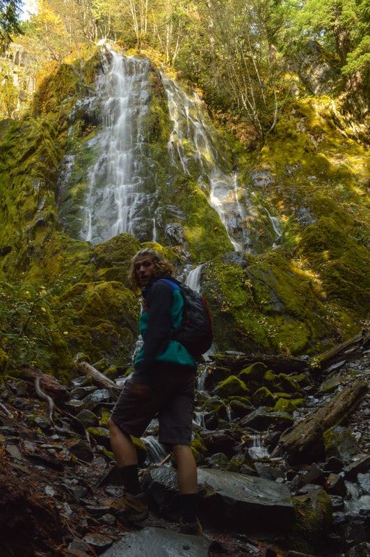
Closest town: Cottage Grove and Oakridge
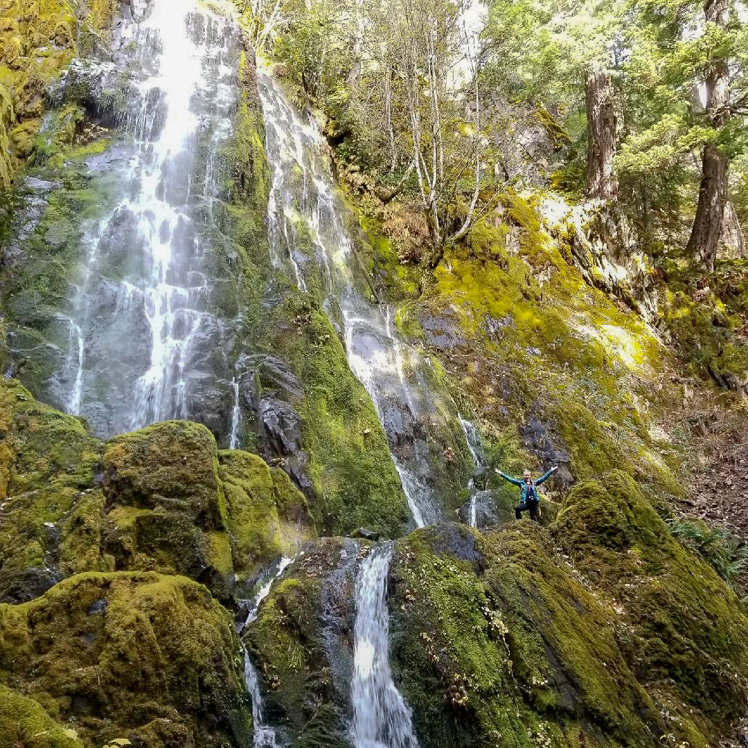
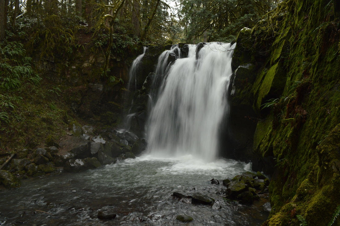
Trail type: Out and back Mileage: 1.2 miles w/ 185 ft. elevation gain Terrain difficulty: Easy Trail usage: Low to medium (depending on the day of the week) About the hike: Moon Falls is a lovely hidden gem located in the Umpqua National Forest. This hike is easy and accessible for people of all fitness and hiking levels and the trail leads you through a beautiful second growth forest. Because the majority of the trail has southern exposure, when it is sunny it is usually very warm and you will see a lot of beautiful undergrowth. Moon Falls is 100 feet tall, and it cascades elegantly down to a shelf where you can actually stand when the falls isn't flowing very heavy and get a feel of just how large this waterfall is. (Click here to read more about this hike and to get directions) |
3) Latourell Falls
Closest town: Corbette and Portland
Trail type: Loop
Mileage: 2.4 miles w/ 585 ft. elevation gain
Terrain difficulty: Easy
Trail usage: Medium to very heavy (depending on the day of the week)
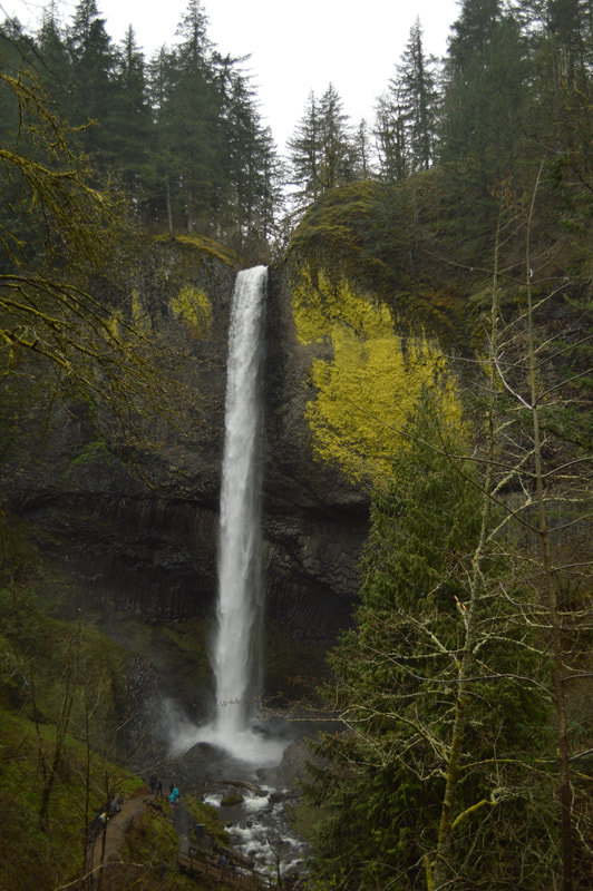
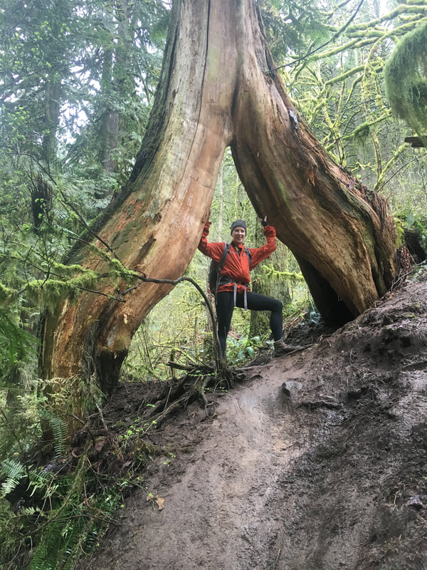
About the hike: This short loop hike offers close-up views of two spectacular waterfalls located in the Columbia Gorge only a few miles from Portland. The trail is well maintained and wasn't badly damaged in the 2017 Eagle Creek Fire. Besides the 249 ft. and 120 ft. main attractions of this hike, you will also get to see a very old split cedar tree that you can walk through! This easy hike is perfect for the entire family to do during pretty much any season.
(Click here to read more about this hike and to get directions)
4) Lillian Falls
|
Closest town: Oakridge
Trail type: Out and back Mileage: 2.5 miles w/ 630 ft. elevation gain Terrain difficulty: Easy Trail usage: Low About the hike: Most people have not heard of Lillian Falls, and it is not written about often. This makes no sense because it is a gorgeous remote 1.75 mile trail taking you through amazing old growth forest deep in the Willamette National Forest. This trail not only leads to amazing 150 ft. Lillian Falls, but it continues on to Klovdahl Bay on the northwest side of Waldo Lake. Lillian Falls cascades down many moss covered rocks creating a beautiful green oasis. (Click here to read more about this hike and to get directions- this post is for members only, you can purchase the seasonal membership for $9.99) |
5) Falls along Paulina Creek
Closest town: LaPine
Trail type: Out and back
Mileage: 5.1 miles w/ 772 ft. elevation gain
Terrain difficulty: Easy
Trail usage: Low
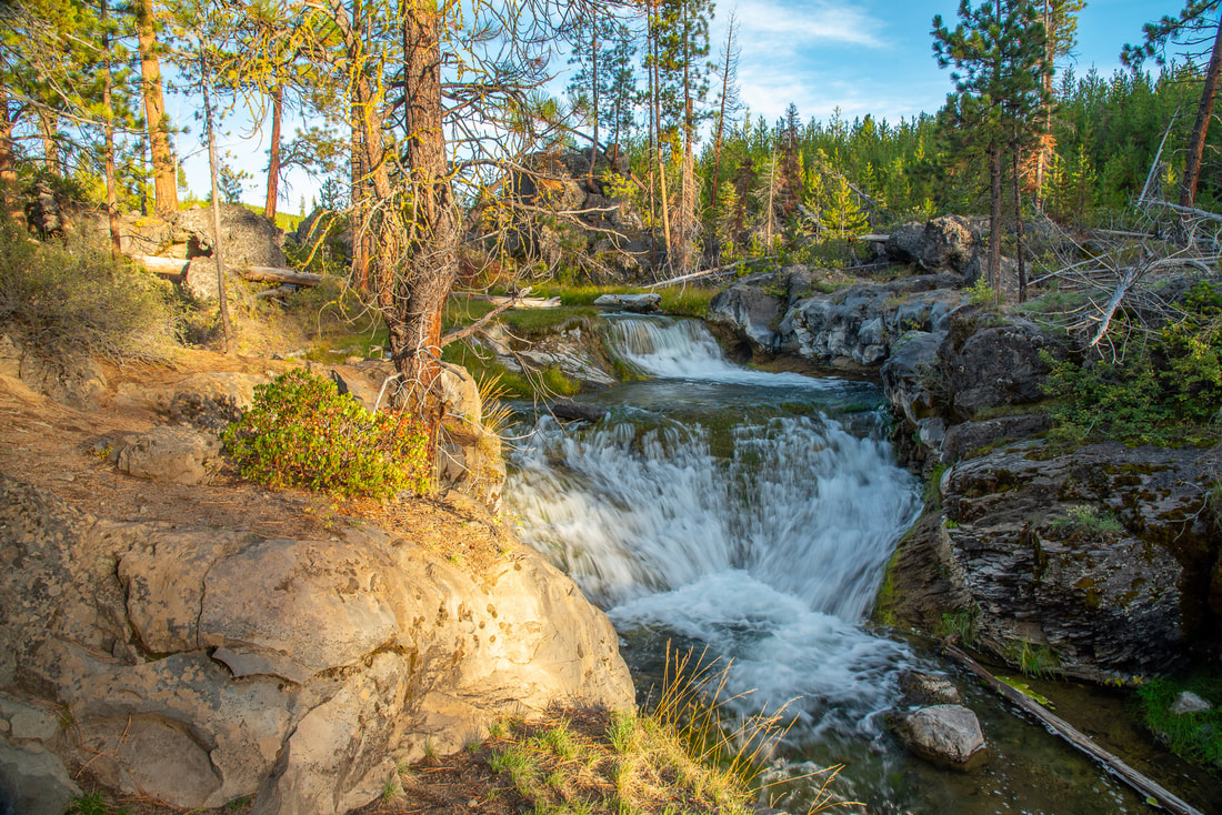
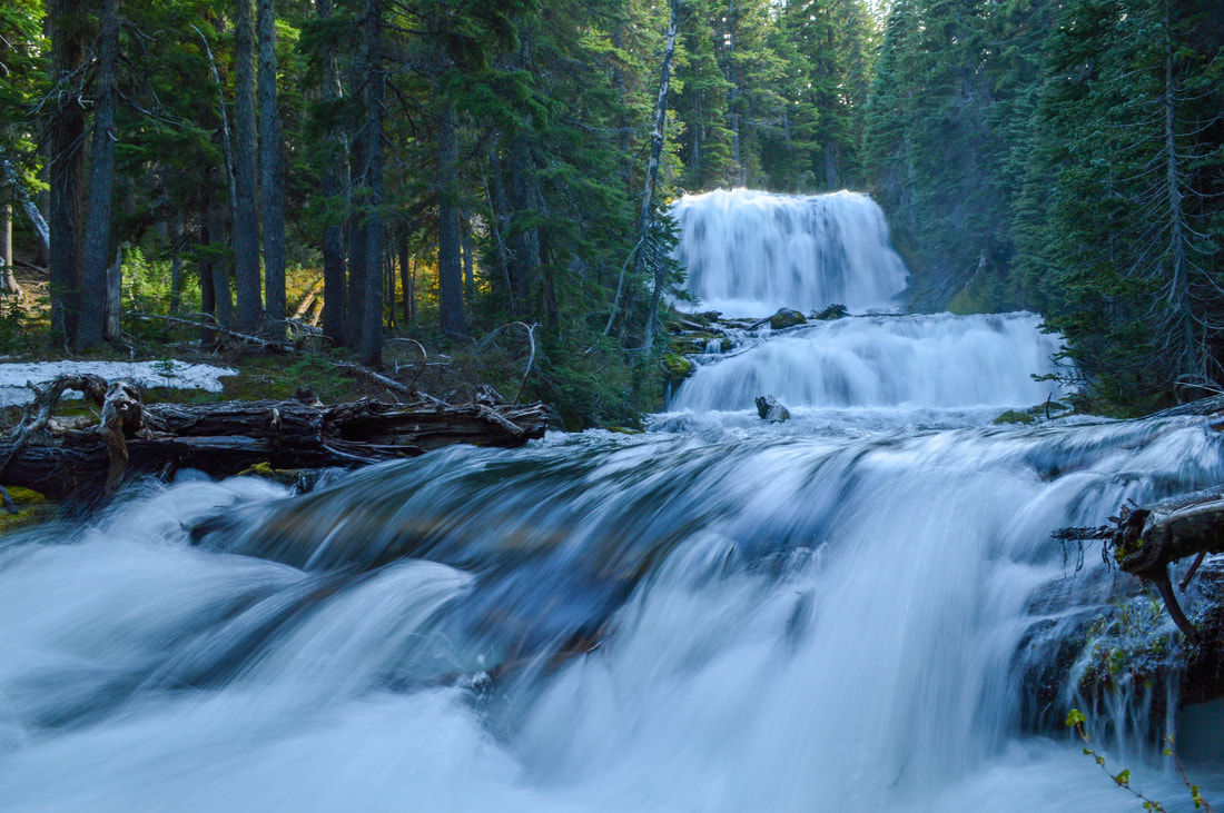
About the hike: The Peter Skene Ogden Trail has some of the most spectacular and underrated waterfalls in Central Oregon! On this small section of the trail you will see a total of 3 waterfalls, all of them technically unnamed and not on most maps. If you want to see all of the 9 waterfalls along this trail, consider doing the entire Peter Skene Ogden Trail, but it is long, so best saved for longer spring days.
(Click here to read more about this hike and to get directions- this post is for members only, you can purchase the seasonal membership for $9.99)
6) McDowell Creek Falls
Closest town: Sweet Home
Trail type: Loop
Mileage: 1.8 miles w/ 340 ft. elevation gain
Terrain difficulty: Easy
Trail usage: Medium to high (depending on the day of the week and season)
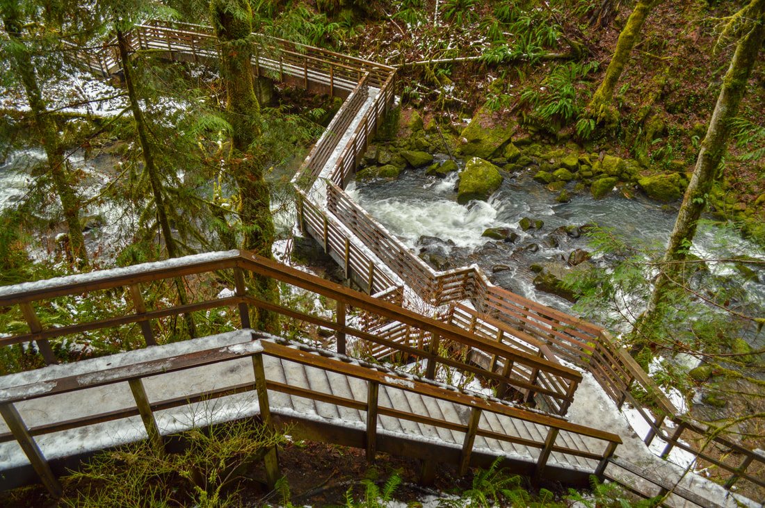
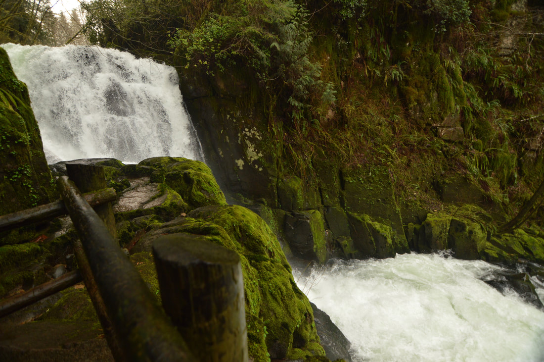
About the hike: This short and sweet hike features two of the most iconic waterfalls in the Willamette Valley! This recreation area offers a gentle walk along the creek, boardwalks and man-made stairs to aid in getting up the steep hill-side to see the waterfalls. Because of this, the trail is well-maintained, easy to walk on and perfect for family members of all ages and activity levels.
(Click here to read more about this hike and to get directions)
7) Chush Falls
Closest town: Sisters
Trail type: Out and back
Mileage: 5.1 miles w/ 655 ft. elevation gain
Terrain difficulty: Easy to moderate
Trail usage: Low to medium (depending on the day of the week and season)
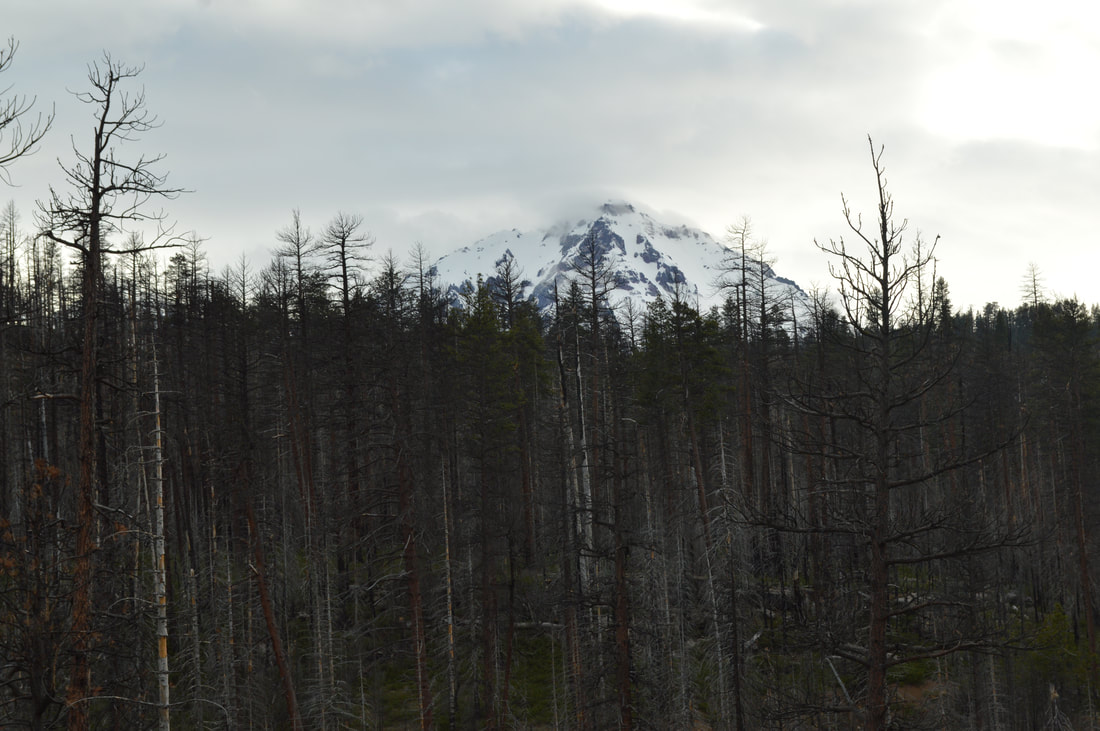
About the hike: Just 13 from the town of Sisters and Highway 126, this waterfall hike is a nice quiet hidden gem. This area was hit hard by the 2012 Pole Creek Fire however there is some undergrowth coming back and the wildflowers in May and June are prolific here. Because of the burn, this hike is absolutely wonderful on a clear day because you can see the Three Sisters up close and personal right from the trailhead! 67 ft. tall Chush Falls is unique because it is wider than it is tall, and it fans out, getting wider towards the bottom. When the creek is low you can walk along its banks and get a spectacular view of the falls.
(Click here to read more about this hike and to get directions- this post is for members only, you can purchase the seasonal membership for $9.99)
8) Drift Creek Falls
Closest town: Lincoln City
Trail type: Out and back
Mileage: 3 miles w/ 525 ft. elevation gain
Terrain difficulty: Easy
Trail usage: High to very high (depending on the day of the week and season)
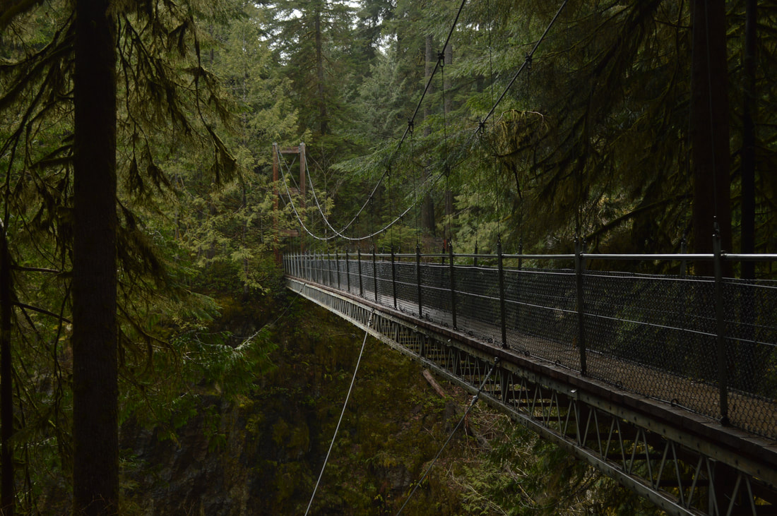
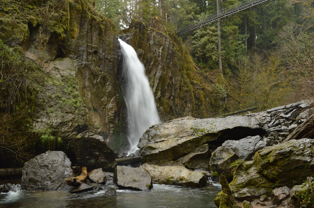
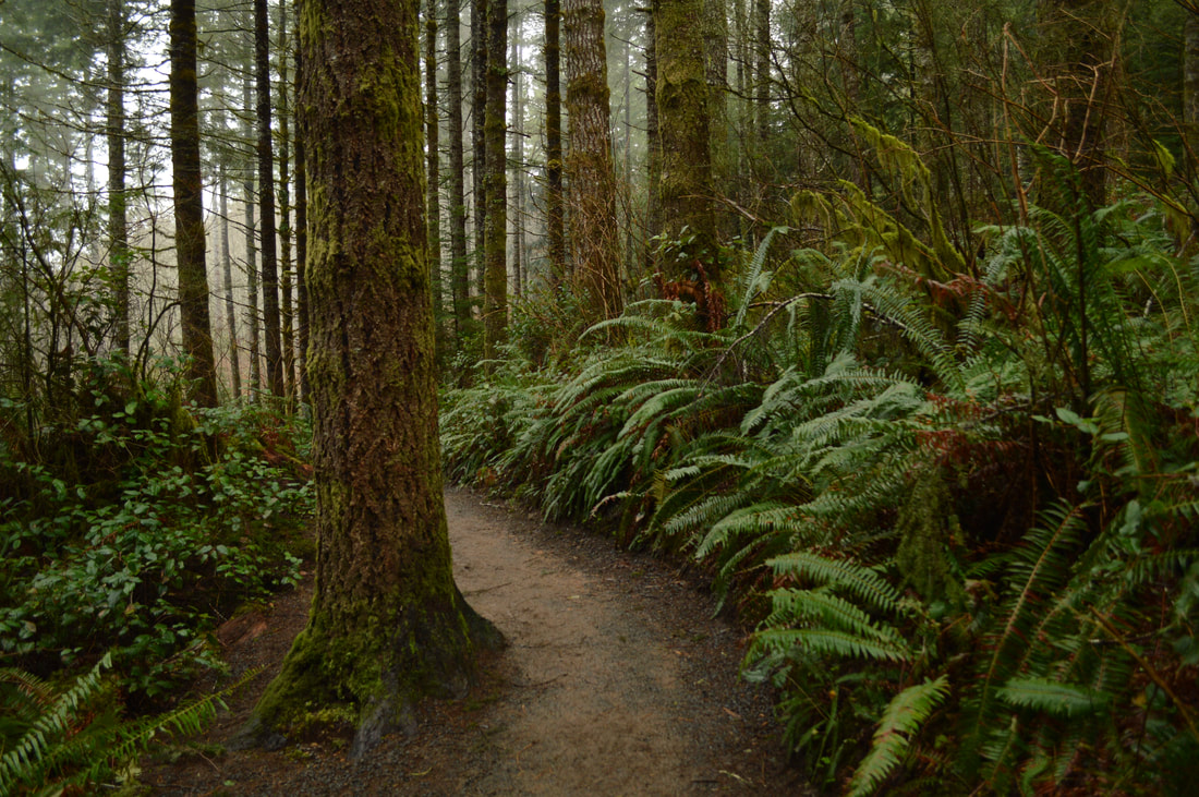
About the hike: This is one of the most popular waterfall hikes in Oregon because of the beautiful suspension bridge that crosses the river 100 feet in the air. From the bridge you can see Drift Creek Falls from above. The falls have undergone quite a significant structural and cosmetic change ever since summer of 2010 when a big landslide caused a chunk of rock to break off from the face of the falls. Even with the dramatic change in landscape, this waterfall is more popular than ever and it is a lovely easy hike through a beautiful forest to get to the bottom of waterfall.
(Click here to read more about this hike and to get directions)
9) Trestle Creek Falls
|
Closest town: Cottage Grove
Trail type: Loop Mileage: 3.75 miles w/ 1,455 ft. elevation gain Terrain difficulty: Moderate Trail usage: Medium About the hike: Trestle Creek Falls loop is a short hike just south of Eugene featuring upper and lower Trestle Creek Falls. It is family and dog friendly and one of the most lush and beautiful hikes to do in both the winter and spring. |
You will enjoy seeing mushrooms along the trail, and the best part about this hike is that you get to walk behind 100 ft. tall Upper Trestle Creek Falls!
(Click here to read more about this hike and to get directions)
(Click here to read more about this hike and to get directions)
10) Salt Creek Falls & Diamond Creek Falls
Closest town: Oakridge
Trail type: Loop
Mileage: 5 miles w/ 1,000 ft. elevation gain
Terrain difficulty: Moderate
Trail usage: Medium
About the hike: This hike is perfect to do during all seasons. This loop has little elevation gain and is perfect for the first time snowshoer, or you can go check it out in the summer when all the Rhododendrons are in full bloom. You will get to see beautiful 286 ft. Salt Creek Falls from the viewing platform, and 120 ft. Diamond Creek Falls close up if you take a short side trail. The gate to the main parking area is closed in the winter, however you can just park at the Sno-Park nearby. This hike is only 23 miles from the town of Oakridge off of Hwy 58 and makes for a great stop on a road trip!
(Click here to read more about this hike and to get directions)
11) Strawberry Falls
|
Closest town: Prairie City
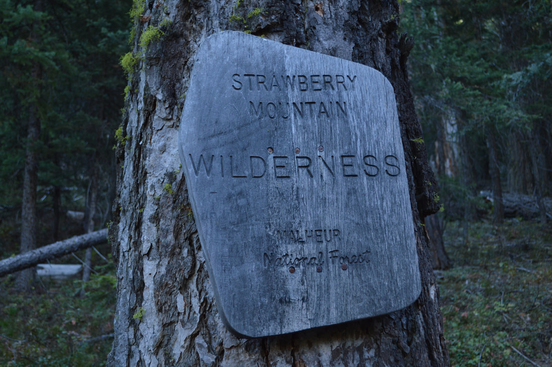
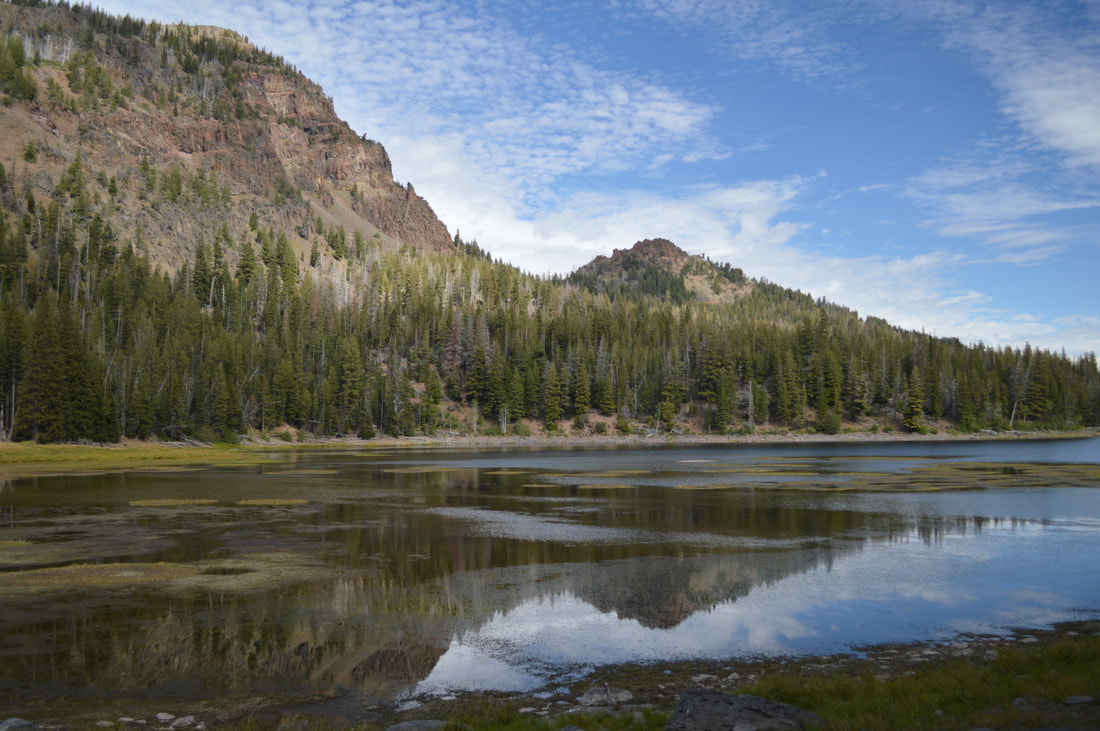
Trail type: Out and back Mileage: 5.2 miles w/ 1,035 ft. elevation gain Terrain difficulty: Moderate Trail usage: Low to medium (depending on the day of the week and season) About the hike: This waterfall is an unexpected gem in a very dry environment. Splashing 50 feet down a rock face, Strawberry Falls creates an oasis, lush with moss and wildflowers. One of the best parts about this waterfall hike is what you see along the way. Strawberry Lake is a wonderful stop 2 miles into the hike, a great place to sit for a snack or take a nice long lunch break on the way back. (Click here to read more about this hike and to get directions- this post is for members only, you can purchase the seasonal membership for $9.99) |
12) Kentucky Falls
Closest town: Mapleton
Trail type: Out and back
Mileage: 4.4 miles w/ 770 ft. elevation gain
Terrain difficulty: Moderate
Trail usage: Medium
About the hike: This hike is a hidden gem that is located in the heart of the Coast Range. The trail passes by three beautiful waterfalls and you can make the hike longer than 4.4 miles by continuing on the trail past Lower Kentucky Falls. A new bridge was put in recently to make this a 16 mile round trip trail, which would be great for a short backpacking trip. This is one of the best waterfall hikes in Oregon because of its remote location, old growth trees and the fact that you can see two different waterfalls at the same time.
(Click here to read more about this hike and to get directions)
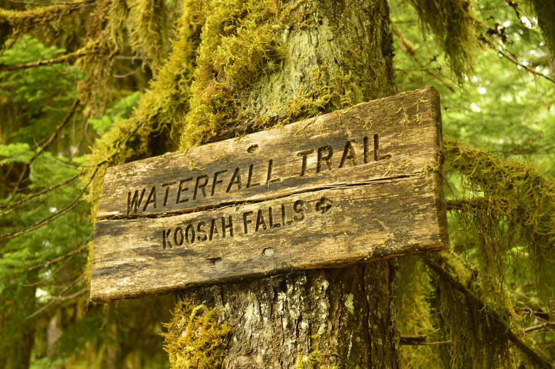
13) Sahalie & Koosah Falls
Closest town: McKenzie Bridge
Trail type: Loop
Mileage: 2.8 w/ 455 ft. elevation gain
Terrain difficulty: Easy
Trail usage: Medium to high (depending on the day of the week and season)
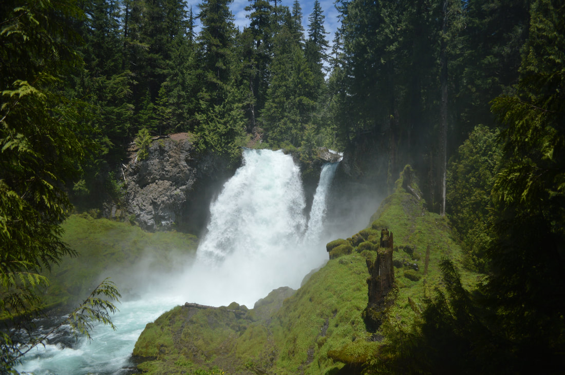
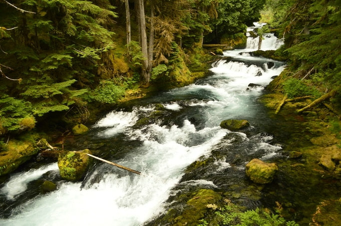
About the hike: This loop is short and sweet, perfect for the shorter days during the winter time, or if you're just passing through the area on a waterfall viewing road trip. Both of these waterfalls are a must-see for everyone, with 73 foot tall Sahalie Falls plunging with gusto into a deep pool, and 74 foot tall Koosah Falls elegantly falling in many whisps down into the river below! This is also the perfect hike if you are bringing younger children because it is not too challenging and there is plenty to see.
(Click here to read more about this hike and to get directions)
14) Tumalo Falls
Closest town: Bend
Trail type: Loop
Mileage: 8.2 miles w/ 2,635 ft. elevation gain
Terrain difficulty: Moderate
Trail usage: Medium to very high (depending on the day of the week and season)
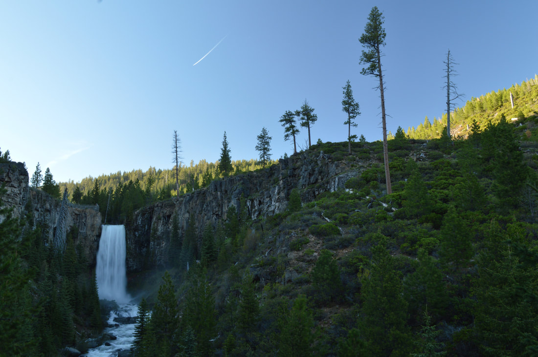
About the hike: Only 30 minutes from Bend, this is one of the most iconic waterfalls in all of Central Oregon and for good reason. This hike can be very short (to the viewing platform and back), or you can make it into an 8 mile loop up to Happy Valley. Even if you're not up for an 8 mile hike, it is worth it to walk up river a bit because 98 foot Tumalo Falls isn't the only waterfall to see here. As you head upstream, there are many no name falls that are just as beautiful as the main attraction.
(Click here to read more about this hike and to get directions)
15) Sweet Creek Falls
Closest town: Mapleton
Trail type: Out and back
Mileage: 2.1 miles w/ 705 ft. elevation gain
Terrain difficulty: Easy
Trail usage: Medium to high (depending on the day of the week and season)
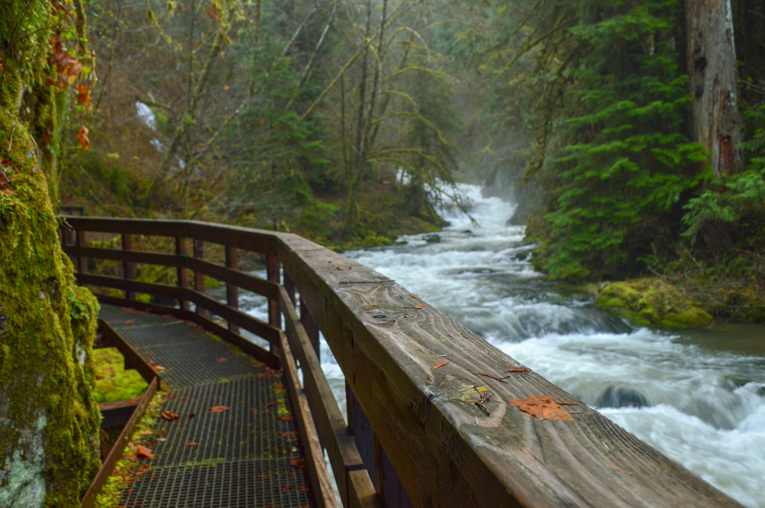
About the hike: This little waterfall hike is very sweet, just like the name suggests. The hike is easy and short and perfect for the whole family. The trail travels upstream along the creek and is very well maintained with stairs and boardwalks in areas that would flood the trail during high waters. There is never a dull season to hike this trail and each season offers something unique to the hike. During the fall you will witness splendid fall colors and during the spring time the river is flowing strong and the waterfall will be roaring!
(Click here to read more about this hike and to get directions)
16) Lower Soda Creek Falls
Closest town: Sweet Home
Trail type: Out and back
Mileage: 1.5 miles w/ 460 ft. elevation gain
Terrain difficulty: Easy
Trail usage: Low to medium
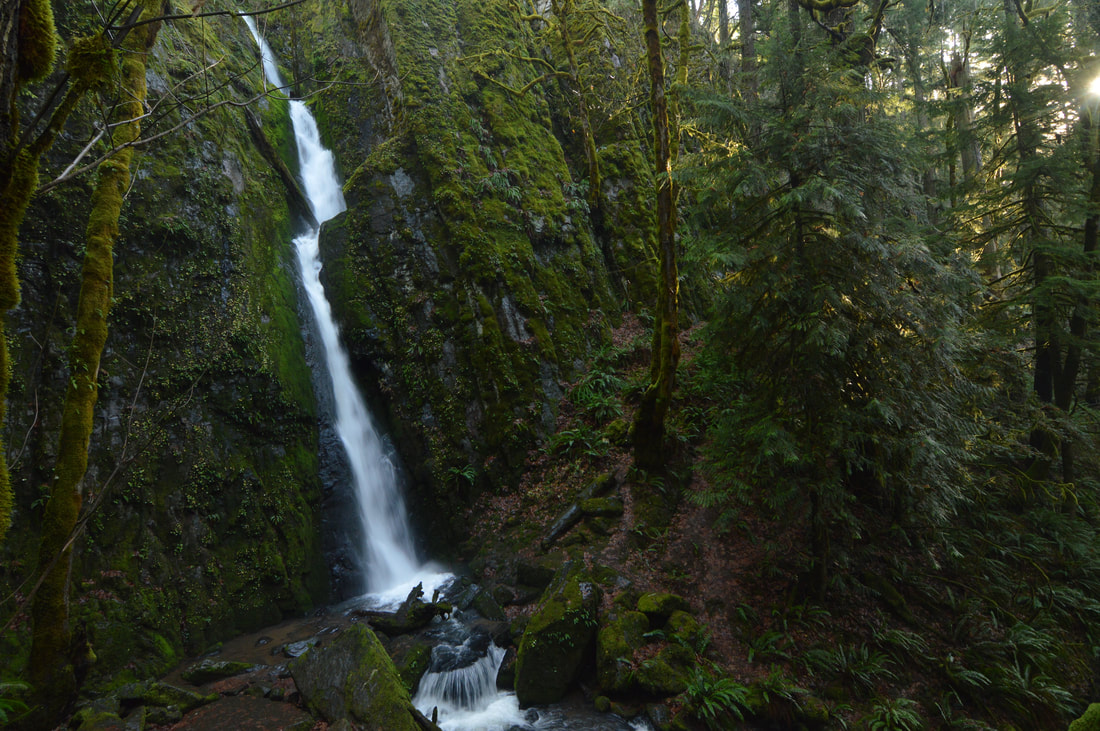
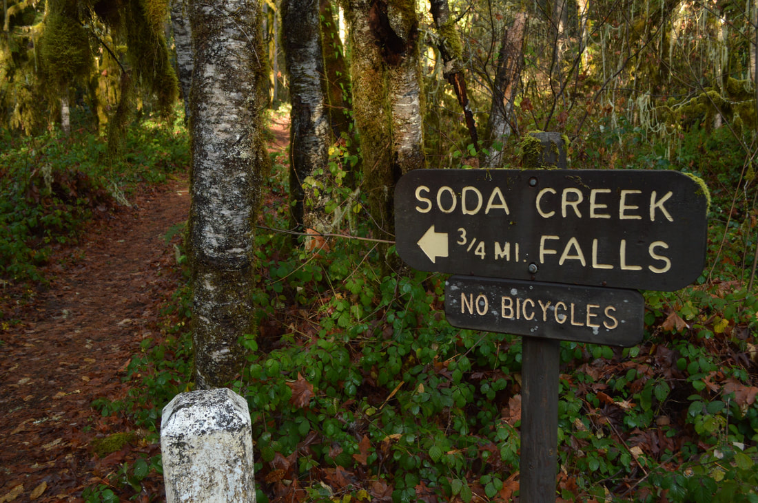
About the hike: This short and sweet hike is absolutely amazing and this waterfall is extremely underrated. Dropping a total of 134 feet down a narrow slot in the rock, Lower Soda Creek Falls is a unique beauty. Cascadia State Park offers not only this waterfall trail but many other fun activities, and there is something for everyone here during all seasons. In the summer you can enjoy camping, swimming and bike riding, and in the fall be prepared to ogle at all of the changing leaves. In the winter be prepared for a slippery trail but you can enjoy complete solitude at the falls.
(Click here to read more about this hike and to get directions- this post is for members only, you can purchase the seasonal membership for $9.99)
17) Proxy Falls
Closest town: McKenzie Bridge and Sisters
Trail type: Loop
Mileage: 1.5 miles w/ 475 ft. elevation gain (when the snow gate is closed for the season you can park there and walk up the road 6.7 miles w/ 995 ft. elevation gain).
Terrain difficulty: Easy
Trail usage: Medium to high in the summer and fall, low to medium in the winter and early spring
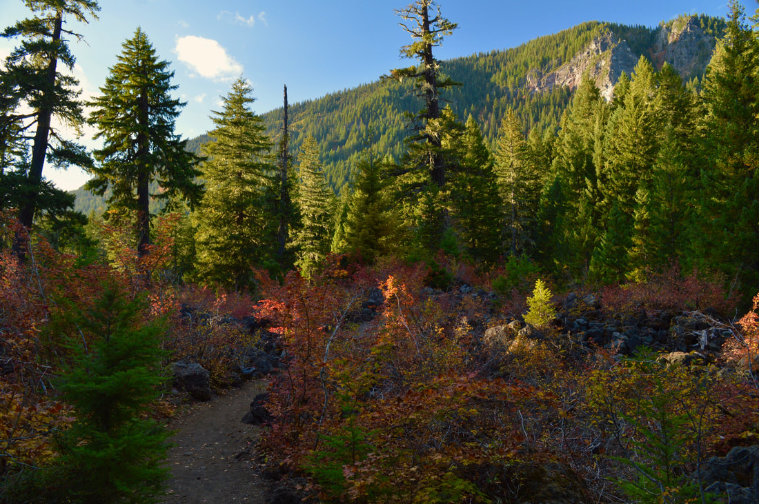
About the hike: This very easy loop hike is great during all seasons! The trail meanders through a lava field and then through the forest down to Lower Proxy Falls which is an impressive 226 ft. tall. In the summer and fall you can easily get to the base of the waterfall which makes you feel incredibly small. The loop then takes you over to Upper Proxy Falls which is 129 ft. tall. This waterfall flows down into a beautiful grotto, but the surrounding foliage makes it a bit difficult to see the entirety of the falls. This loop is easy, perfect for kids and great even in the winter time with micro spikes or snowshoes.
(Click here to read more about this hike and to get directions)
18) Silver Falls
Closest town: Silverton
Trail type: Loop
Mileage: 8.6 miles w/ 1,480 ft. elevation gain
Terrain difficulty: Moderate
Trail usage: Medium to high (depending on the day of the week and season)
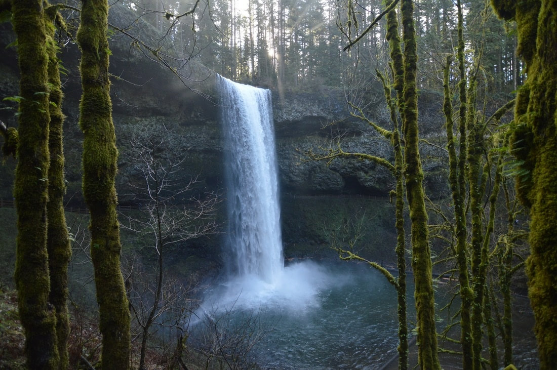
About the hike: This 8.6 mile loop is absolutely beautiful and a pretty easy hike as the trail is pretty much flat, with the exception of some stairs. Along the hike you see 10 waterfalls that are up to 200 feet tall! You can make the loop 2.6 miles shorter if you aren't into the longer hikes, and it only cuts out two of the waterfalls. Because of all the mist in the air from the waterfalls, this hike can get a bit icy if the temperature is below freezing, but other than that, it rarely snows in this area. Icicles here can get up to four feet tall!!! This well-known State Park is only 25 east of Salem.
(Click here to read more about this hike and to get directions)
19) Multnomah & Wahkeena Falls
Closest town: Troutdale, Corbett, Portland & Cascade Locks
Trail type: Loop
Mileage: 5 miles w/ 1,265 ft. elevation gain
Terrain difficulty: Moderate
Trail usage: High to very high
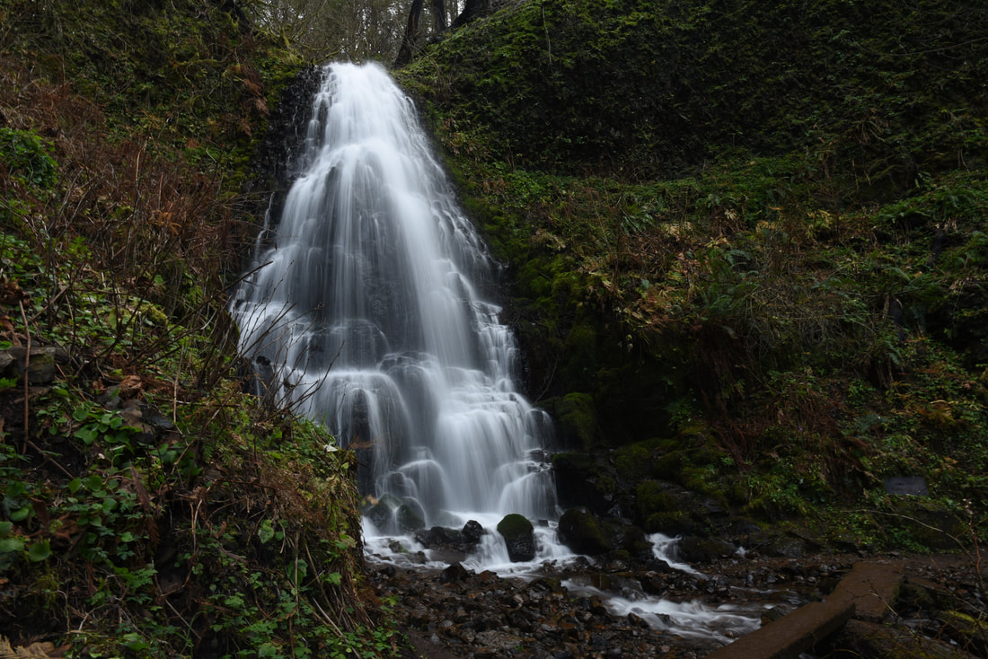
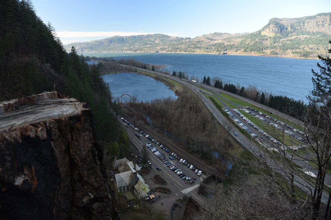
About the hike: This loop hike was effected by the 2017 Eagle Creek Fire and was closed until late fall 2018. There is quite significant fire damage to the area, but the trail has been restored and the loop is just as beautiful as ever. Enjoy 4 of Oregon's most iconic waterfalls and a walk through tall trees and what will soon again be lush undergrowth. This well-known trailhead starts at Multnomah Falls, Oregon's tallest waterfall, and is only 29 miles from Portland.
(Click here to read more about this hike and to get directions)
20) Pool Creek Falls
Closest town: Oakridge
Trail type: Out and back
Mileage: 0.8 miles w/ 535 ft. elevation gain
Terrain difficulty: Easy
Trail usage: Low
About the hike: This is one of the coolest hidden waterfalls! Even though this hike is less than half a mile in length each way, and quite a ways off the main highway, it is totally worth the drive. The trailhead is a bit hidden and not obvious from the road, which adds to its elusive nature. The trail takes you up a few steep switchbacks (you gain 535 feet elevation in just 0.4 of a mile), and then all of a sudden you get an amazing reveal or Pool Creek Falls which looks quite unique. You can cross the creek and head up to the cave that is just to the side of the waterfall. It is easy to explore the cave and the waterfall for quite a long time.
(Click here to read more about this hike and to get directions- this post is for members only, you can purchase the seasonal membership for $9.99)
*All pictures are taken by Franziska Weinheimer
*Disclaimer: The trail descriptions, mileage, GPS tracks and difficulty ratings depicted on this website are never 100% accurate. Always hike at your own risk, using your own knowledge, equipment and common sense. Franziska Weinheimer/Hike Oregon are not responsible if you or anyone in your party gets injured or lost while attempting one of these or any other hikes.

