Powell Butte Nature Park
Hike details:
Mileage: 3.5 mile loop w/ 530 ft. elevation gain
Approximate hike time: 1 hour 30 minutes w/ an average pace of 2.3 mph
Difficulty: Easy
Trail usage: High on sunny weekends, medium on weekday afternoons, low on weekday mornings
Highest elevation: 650 ft. Lowest elevation: 400 ft.
General location: In the heart of southeast Portland, 10 miles east of downtown
Accessible: Year-round
(Best time to go is in mid to late April when the wildflowers are blooming, but this park is beautiful year-round).
Permits required: N/A
Pit toilet at trailhead: Yes
Trail allows: Dogs on leash, strollers, bikes
Possible dangers: N/A
|
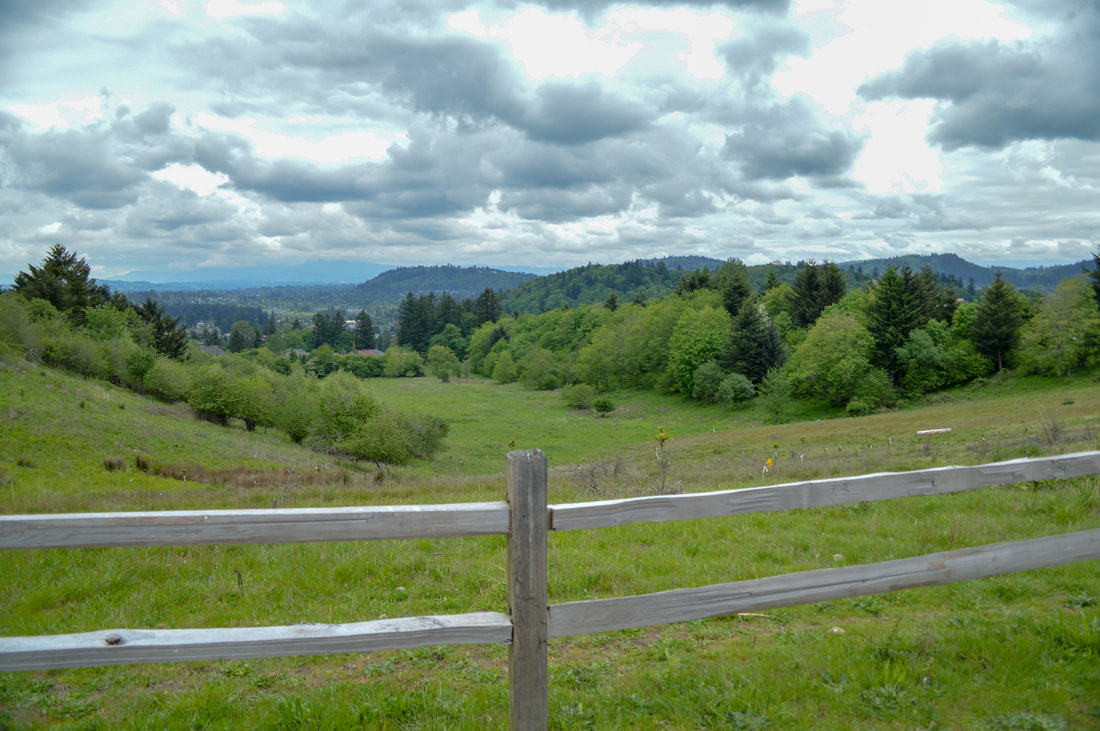
Description:Powell Butte is a beautiful nature park with many trails and loops, located in southeast Portland. The loop described here starts at the park's main entrance off of Southeast 162nd Ave. You can also get into the park at Southeast Anderegg Loop, the Springwater Corridor, Southeast Ellis, Southeast Raymond, Southeast Holgate, Southeast Center, and from US-26.
Most of the trails at Powell Butte are either paved or packed gravel, which makes them great for the elderly who are taking a walk, as well as moms with a stroller and little kids on bikes or scooters. The parking lot is very large and there are lots of informational signs, maps and brochures available as well as a bathroom. |
(picture by Moira Jacoway)
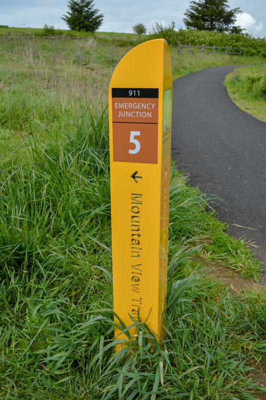
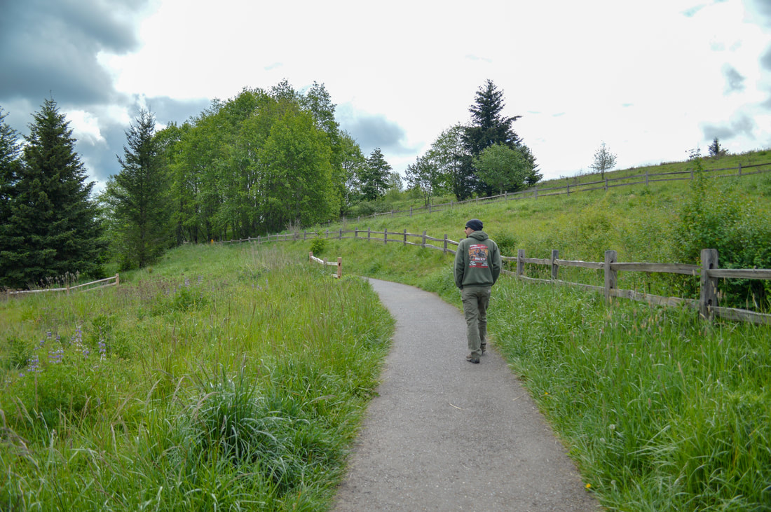
To start this 3.5 mile loop, you will go left from the parking area and hit the Mountain View Trail. This trail winds through wildflower meadows and slowly traverses uphill to the top of Powell Butte where you will get the best view of Mount Hood to the east.
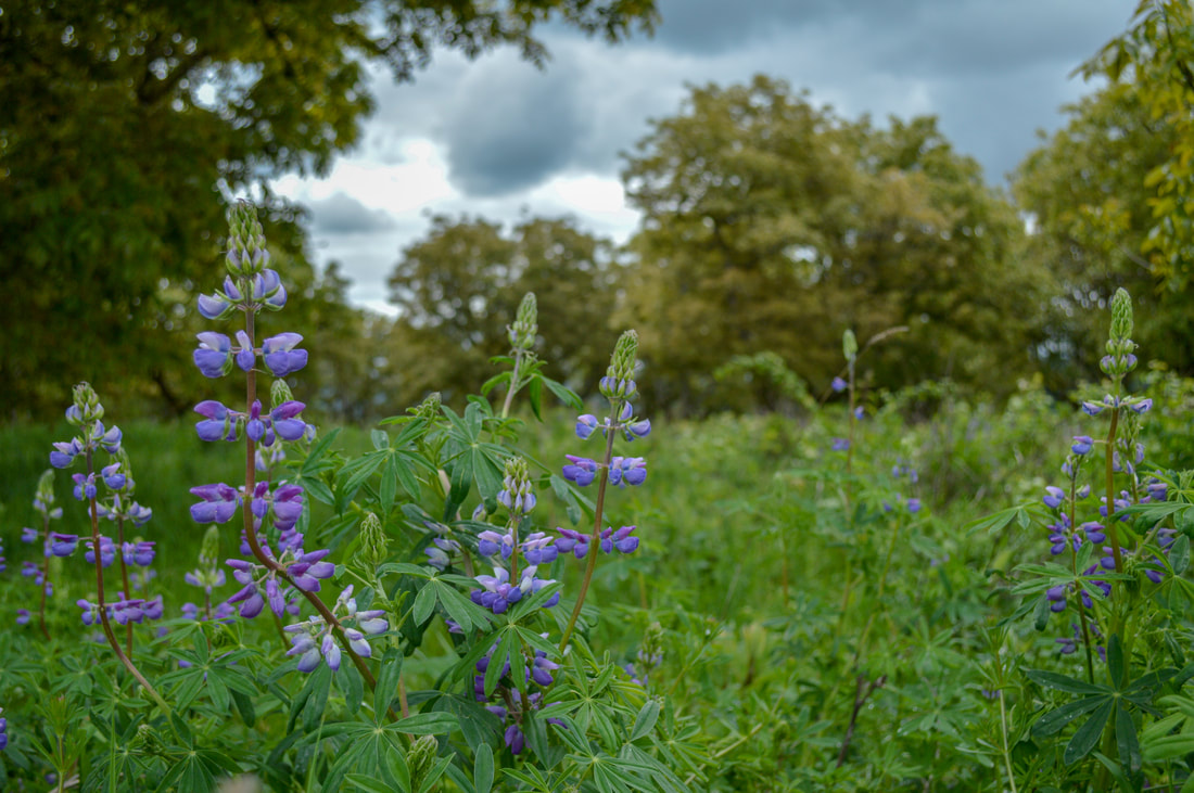
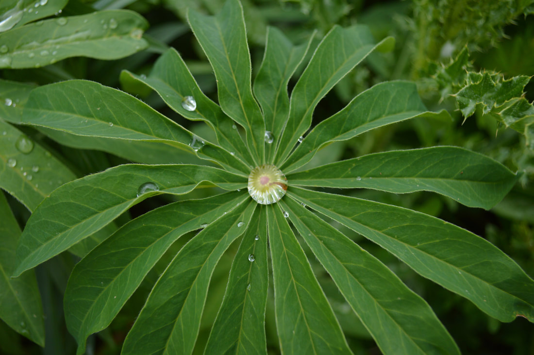
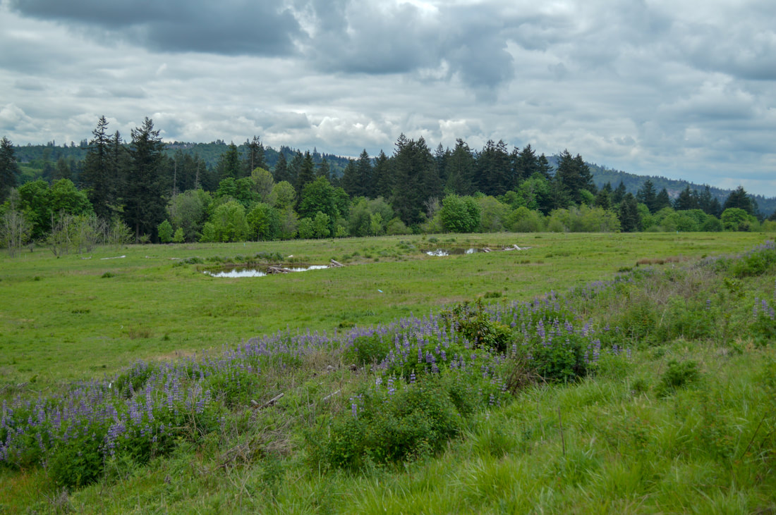
(Lupine flower in April)
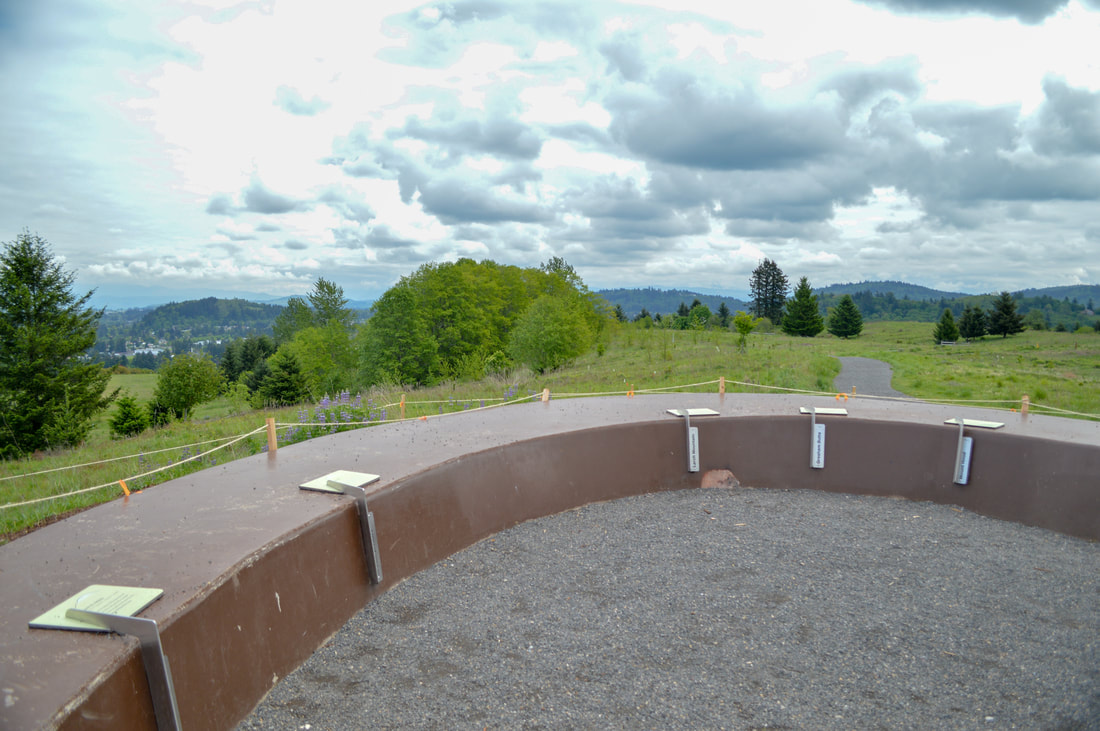
(mountain finder area)
|
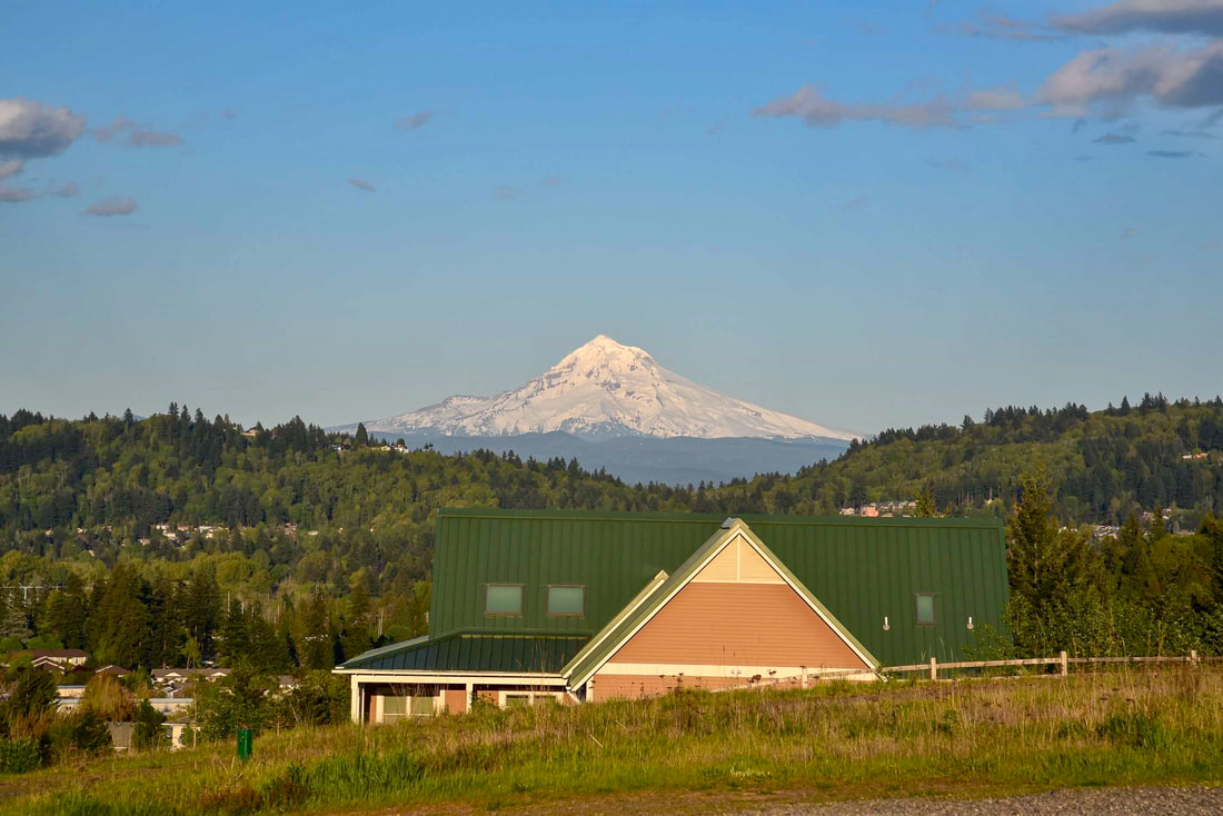
After about 0.6 miles you will come to the top of Powell Butte where there is a 'mountain finder' area with placards that tell you what the names of the surrounding mountains and hills are. The most prominent mountain to be seen here is of course Mt. Hood, which is only 40 miles to the east as the crow flies.
|
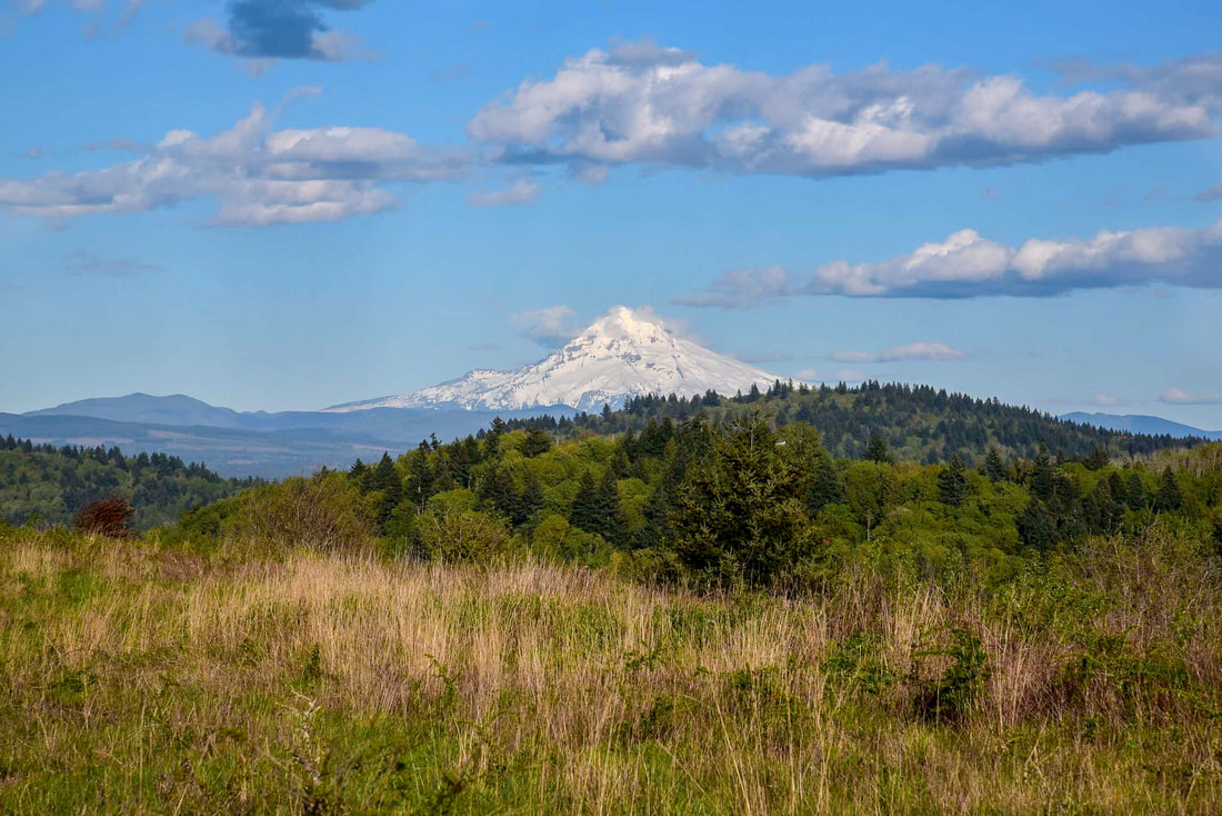
(Mount Hood picture by Moira Jacoway)
|
|
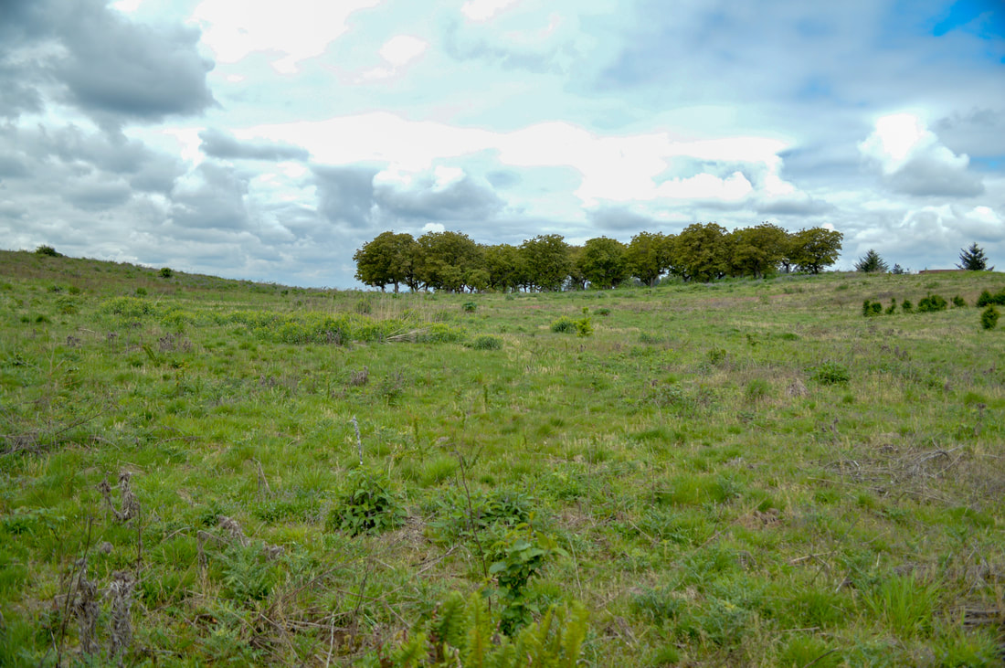
From the mountain view area you will take Summit Lane around a large meadow for 0.7 miles. In late April and early May these meadows are covered in Lupine flowers as well as many birds, ducks and geese that are enjoying some of the seasonal ponds.
|
|
|
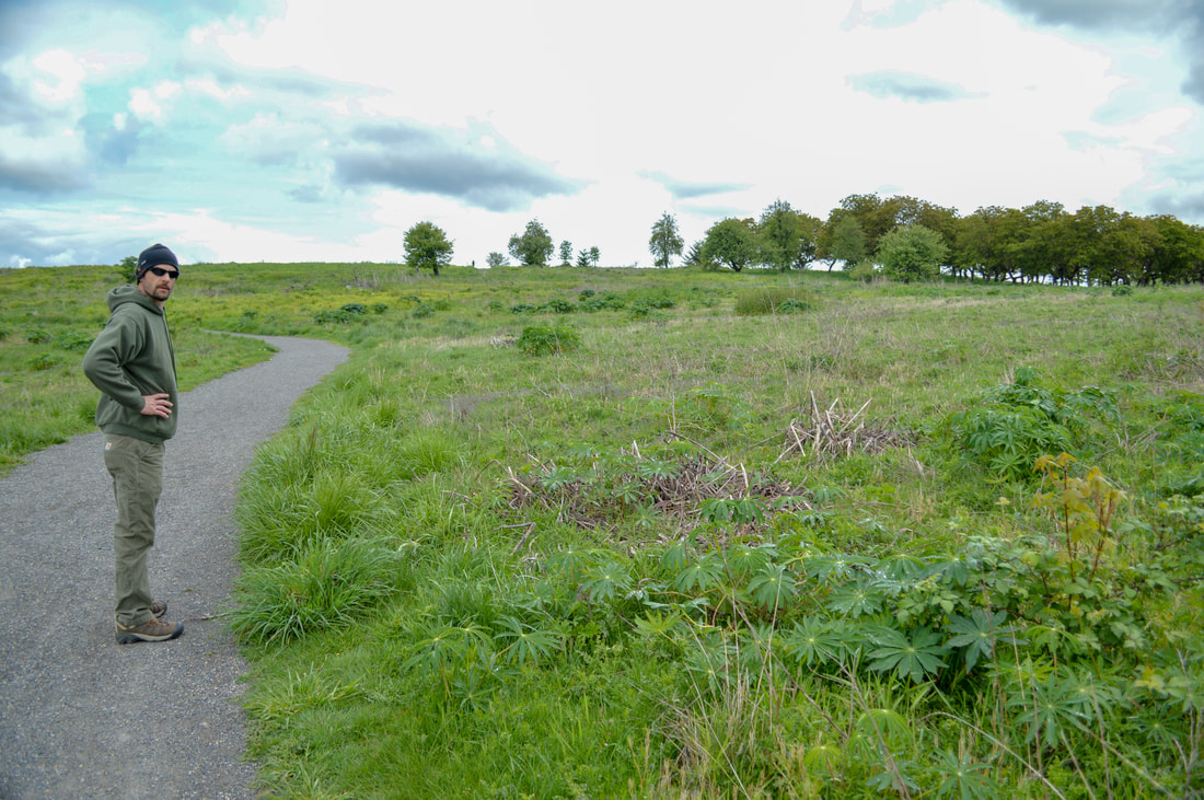
After Summit Lane you will take Meadowland Lane for only 0.2 miles and then if you are not with a stroller or a small child on a bike, take a left down the Elderberry Trail. This trail does turn into a narrow dirt trail, which is muddy in the winter and spring and is going to be difficult with a stroller. If you are with kids, you can continue on Meadowland Lane for easier terrain.
|
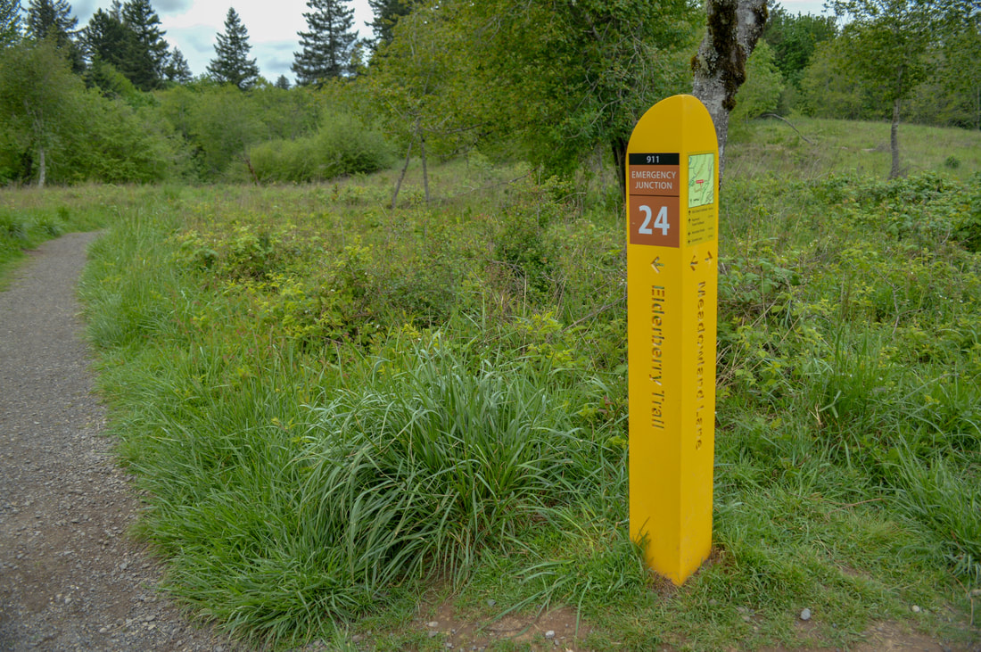
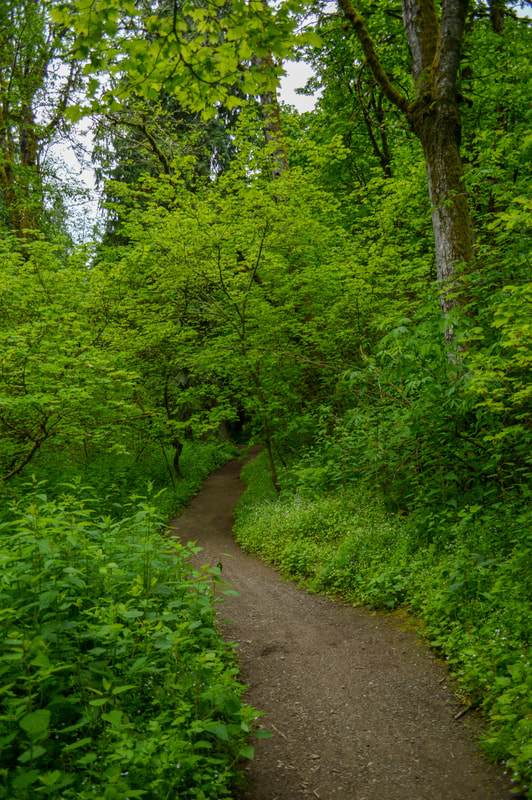
The Elderberry Trail loop is also 0.7 miles and it has a much different feel than the other trails you were just on. Here you will enter thick woods that are lush with new green growth in the spring and vibrant with beautiful colors in the fall. Here the trail is narrow and it is packed dirt, making it the perfect trail for trail running and mountain biking.
|
After the Elderberry Trail, you will come out at a junction where you will take a right onto Pipeline Lane. From here it is a pretty straight and easy path 0.4 miles back to the main parking lot.
Powell Butte is an absolutely amazing place to hike if you just want to get out of the house for a little walk with your kids or elderly family members. Even though it is in the heart of a big city, it is quiet and it's a wonderful place for education on native plants and animals, and a great area to get the kids' energy out whether they are running up and down the gravel paths, or whether they want to ride their bikes or scooters. This area and the trails are definitely suited for everyone of all ages and ability levels. |
Directions:
From Portland
- From downtown cross the river on the Ross Island Bridge and head east on SE Powell Blvd. for 7.9 miles. At SE 162nd Ave. turn right for 0.4 miles to the parking lot. (Total of 10.8 miles)
- Drive US-97 north toward Madras for 41.2 miles. In the town of Madras merge left onto US-26 and stay on this road for 101 miles, then turn left onto US-26 W/E Powell Blvd. for 4.8 miles. At SE 162nd Ave. turn left for 0.4 miles to the parking lot. (Total of 150 miles)
- Drive I-5 north toward Portland for 27.8 miles then use the right 2 lanes to take exit 288 for I-205toward Oregon City. Continue onto I-205 N for 17.8 miles and then take exit 19 for U.S. 26/Powell Blvd. toward Division Street. Turn right onto US-26 E/SE Powell Blvd. for 3.4 miles. At SE 162nd Ave. turn right for 0.4 miles to the parking lot. (Total of 55.8 miles)
- Total of 119 miles via Salem.
- Total of 283 miles via Salem.
-This trail write-up was last updated in 2018-
*All pictures unless otherwise marked are taken by Franziska Weinheimer
*All pictures unless otherwise marked are taken by Franziska Weinheimer
*Disclaimer: The trail descriptions, mileage, GPS tracks and difficulty ratings depicted on this website are never 100% accurate. Always hike at your own risk, using your own knowledge, equipment and common sense. Franziska Weinheimer/Hike Oregon are not responsible if you or anyone in your party gets injured or lost while attempting one of these or any other hikes.