Shotgun Creek
Hike details:
Mileage: 5 mile loop w/ 950 ft. elevation gain
Approximate hike time: 2 hours 10 minutes w/ an average pace of 2.3 mph
Difficulty: Easy
Trail usage: Low in the late fall and winter, medium in the spring, high on summer weekends
Highest elevation: 1,375 ft. Lowest elevation: 700 ft.
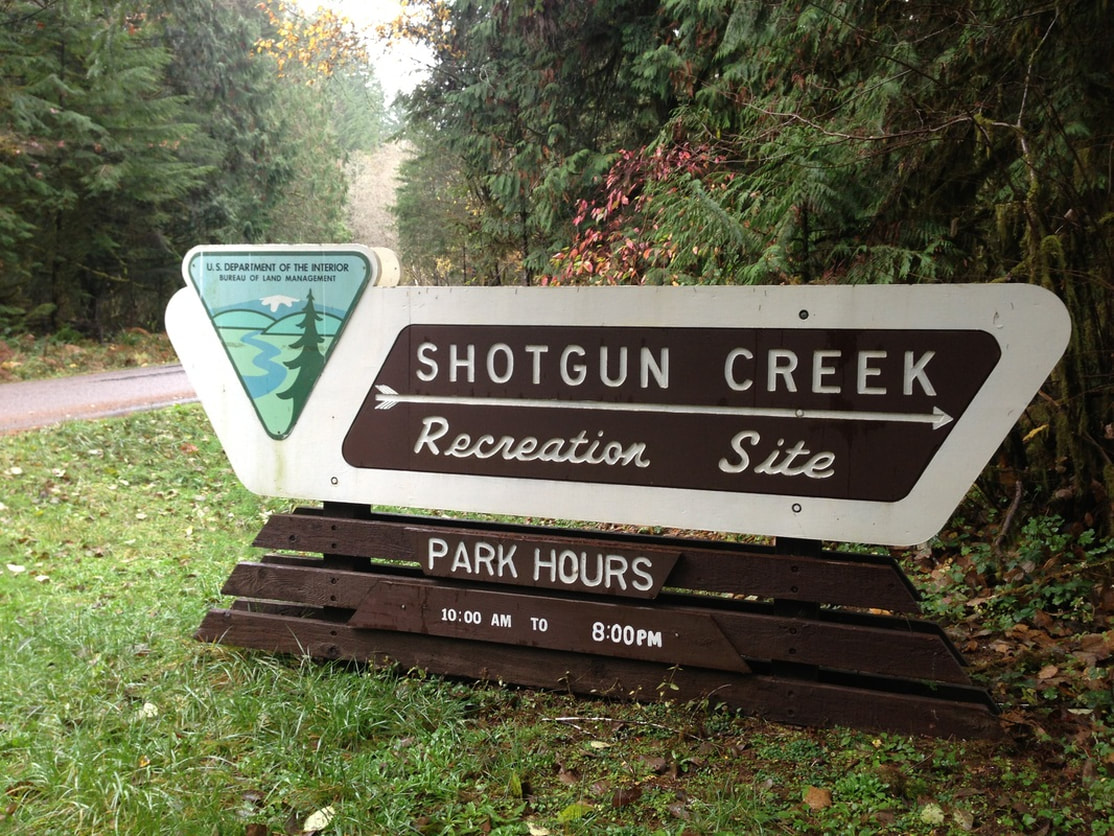
General location: 19 miles north of Springfield - Shotgun Creek Recreation Site - Bureau of Land Management
Suggested seasons: Spring, summer, fall, sometimes winter
(Best time to go is November through March when everything is very lush and green).
Permits required: $3 day use fee is required - pay with cash only at the trailhead
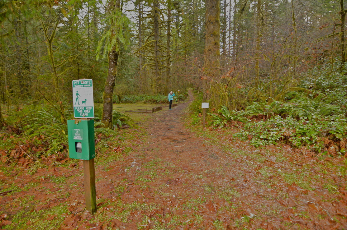
Pit toilet at trailhead: Yes
Trail allows: Dogs on leash
Possible dangers: N/A
Approximate hike time: 2 hours 10 minutes w/ an average pace of 2.3 mph
Difficulty: Easy
Trail usage: Low in the late fall and winter, medium in the spring, high on summer weekends
Highest elevation: 1,375 ft. Lowest elevation: 700 ft.
General location: 19 miles north of Springfield - Shotgun Creek Recreation Site - Bureau of Land Management
Suggested seasons: Spring, summer, fall, sometimes winter
(Best time to go is November through March when everything is very lush and green).
Permits required: $3 day use fee is required - pay with cash only at the trailhead
Pit toilet at trailhead: Yes
Trail allows: Dogs on leash
Possible dangers: N/A
|
Description:Shotgun Creek Recreation area is the perfect place to go when the weather isn't great but you still want to get out into the woods. This popular recreation area is open year round, however in the winter season there are very few people here. There are multiple trailheads along the upper parking area, which are all short paths creating short or longer loops. If you are wanting to do an extremely short hike, feel free to start at one of these trailheads, however even the entire Shotgun Creek loop is only 5 miles long.
|
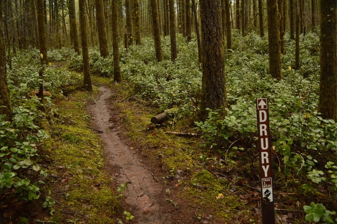
(start of loop trail)
|
|
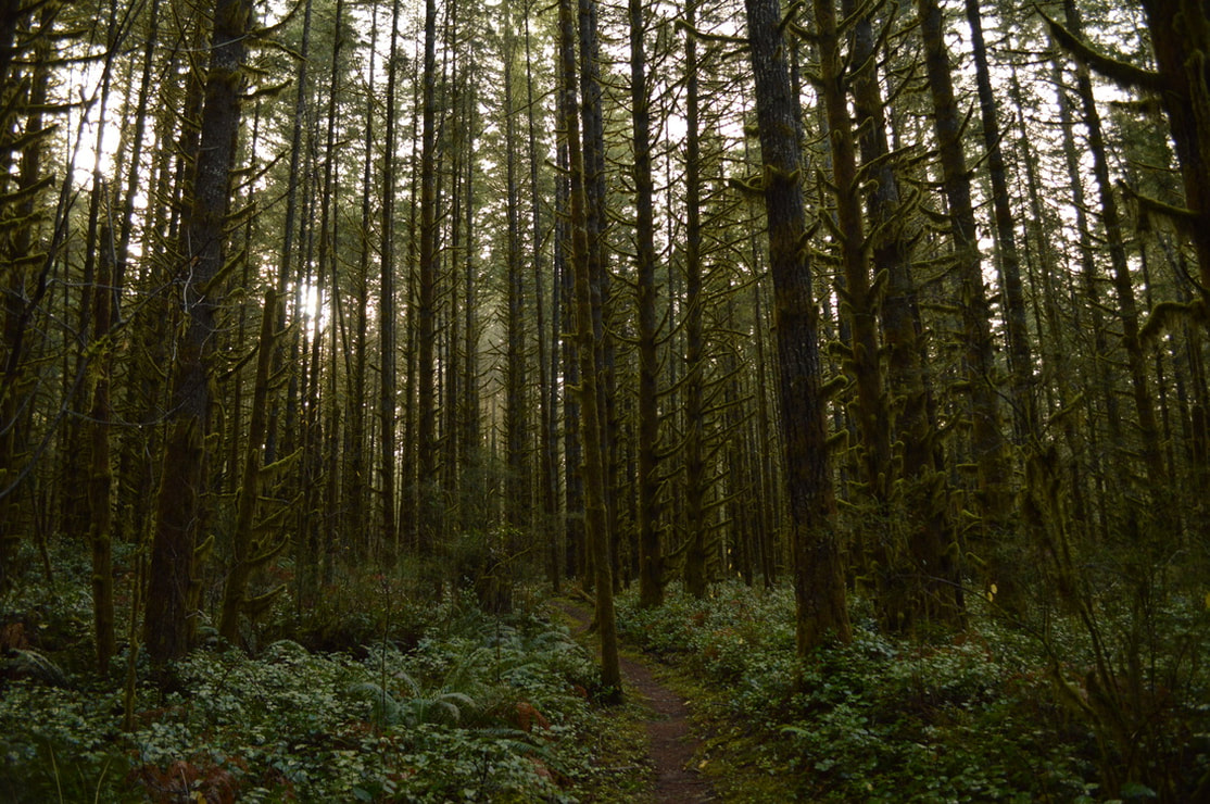
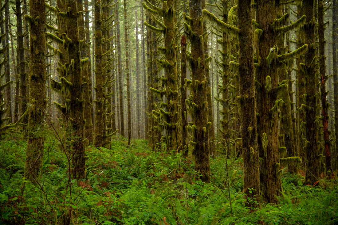
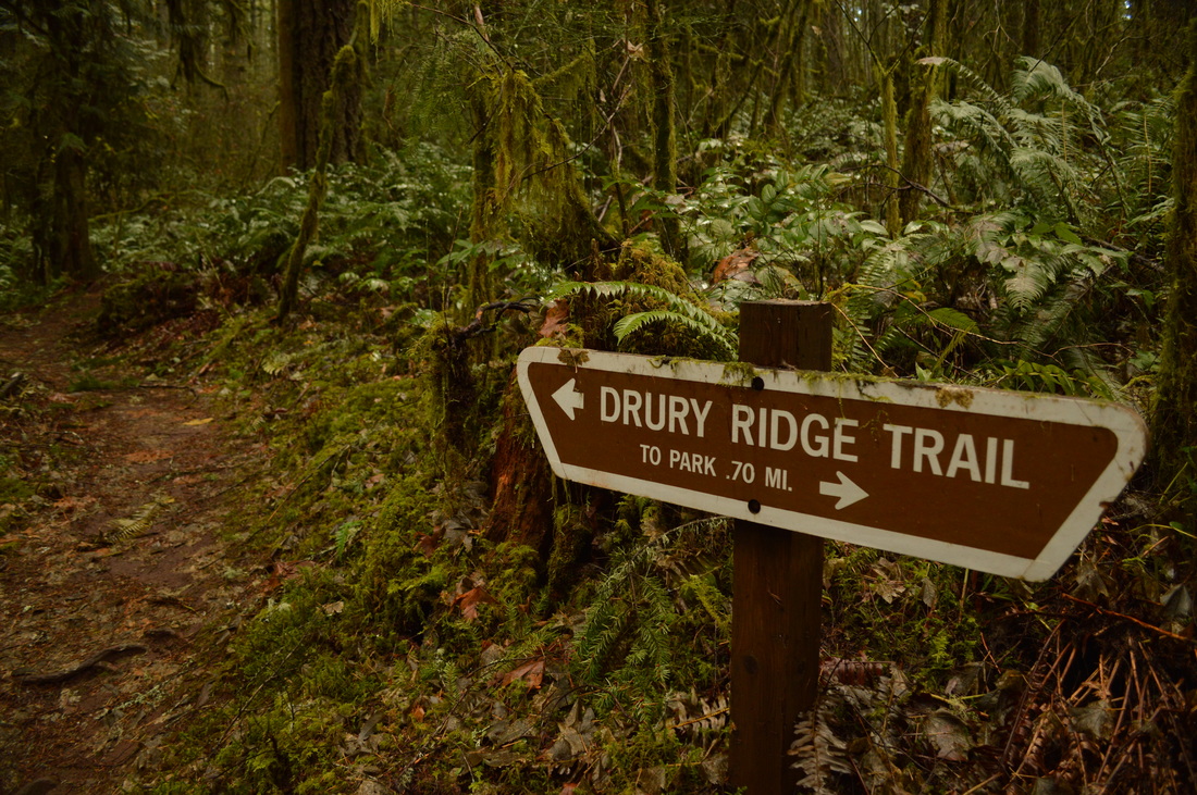
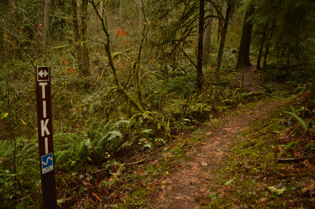
From here you head up the hill for 1 mile. This mile is fairly steep as the trail switchbacks 5 times. The top of the ridge is a bit inconspicuous in the sense that you don't really realize that you're at the summit of Drury Ridge except that the trail all of a sudden heads back down the hill. The top is rather dark, and there are a lot of tree stumps from huge old growth trees that were once there. From here the trail meanders downhill for another mile. Here you will enjoy a more open and sparse forest with southern exposure, so on sunny days you can enjoy some rays. After 1 mile you will come to a T junction. To the right is the Tiki trail which will lead you 0.6 miles back to the previous Drury Ridge junction, then you could hike the 0.3 miles down to the parking lot. Or you can continue to the left on Tiki trail and take the 0.7 mile trail back down to the parking lot, finishing the loop.
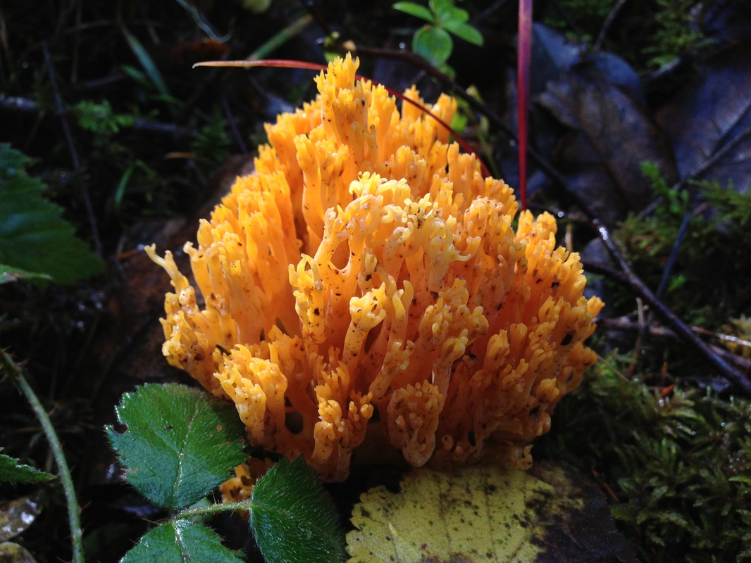
(Coral Fungus)
|
|
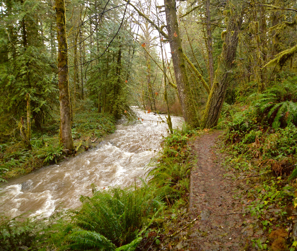
The Tiki trail to the left switchbacks down the hill. During this 0.7 mile section of the trail you will see a few smaller creeks flowing down to join Shotgun Creek. The view you see of Shotgun Creek from the trail above is pretty neat, because you can really see how the creek winds through the landscape. Tiki trail comes out at Lower Shotgun trail, which is right next to the bridge at the beginning of the parking area.
|
|
Shotgun Creek Loop is a great hike to do for any age and experience level. It is a perfect short day hike for the winter season since it is very close to Eugene and with such limited daylight hours it can be tough to get a hike in during the winter months. Even during the fall and winter when this area is not regularly maintained, the trails are still well groomed and are a very easy surface to walk on. They can become a bit muddy during the rainy season though.
Directions:
From Eugene
- From Eugene drive E on I-105 to the 42nd St./Marcola exit. Turn left on Marcola Rd. and drive for 15 miles. Continue along this road for another 3 miles past the town of Marcola and then turn left at the sign for Shotgun Creek Recreation area (on Shotgun Rd.). After 1.6 miles you will see the recreation area on your right. (Total of 22.2 miles)
- Drive I-5 S for a total of 36.7 miles, then take exit 216 for OR-228 toward Halsey/Brownsville. Turn left onto OR-228 E/Holley Sweet Home for 11.2 miles, then turn right onto Brush Creek Rd. for 6.3 miles. Continue straight onto Marcola Rd. for 6.1 miles, then turn right onto Shotgun Creek Rd. After 1.6 miles you will see the recreation area on your right. (Total of 66.4 miles)
- Drive US-97 N for 2.1 miles, then take exit 135A to merge onto US-20 Wtoward Sisters Salem for 19.9 miles. At the traffic circle in Sisters, take the 2nd exit and stay on US-20 W for another 25.1 miles. At a Y junction, keep left to stay on US-20 W for 47.6 miles, then in the town of Sweet Home turn left onto Holley Rd./OR-228 W for 7.8 miles. Turn left onto Brush Creek Rd. for 6.3 miles. Continue straight onto Marcola Rd. for 6.1 miles, then turn right onto Shotgun Creek Rd. After 1.6 miles you will see the recreation area on your right. (Total of 118 miles)
- Total of 112 miles via Salem directions.
- Total of 186 miles via Eugene.
-This trail write-up was last updated in March 2023-
*All pictures are taken by Franziska Weinheimer
*All pictures are taken by Franziska Weinheimer
*Disclaimer: The trail descriptions, mileage, GPS tracks and difficulty ratings depicted on this website are never 100% accurate. Always hike at your own risk, using your own knowledge, equipment and common sense. Franziska Weinheimer/Hike Oregon are not responsible if you or anyone in your party gets injured or lost while attempting one of these or any other hikes.