Patjens Lakes Loop
Hike details:
Mileage: 6.9 mile loop w/ 632 ft. elevation gain
Approximate hike time: 2 hours 57 minutes w/ an average pace of 2.3 mph
Difficulty: Moderate
Trail usage: Medium on summer weekends, low on weekdays
(Best time to go is mid to late July to see all of the wildflowers, however this can also be the prime time for mosquitoes. Another great time to go is late September and early October when all of the colors start to change).
Highest elevation: 4,830 ft. Lowest elevation: 4,350 ft.
General location: 25 miles west of Sisters - Willamette National Forest - Mount Washington Wilderness
Accessible: June through early December
(Best time to go for wildflowers is early July. For prime fall colors go in September, October and early November).
Permits required: Day use - Free self issue wilderness permit June 15 - October & Northwest Forest Pass for parking.
Overnight trips - Central Cascades Wilderness Permit June 15 - October 15 available via recreation.gov & Northwest Forest Pass for parking.
Pit toilet at trailhead: No but there is one right up the road at the campground
Trail allows: Dogs, horses, camping
Possible dangers: N/A
Description:
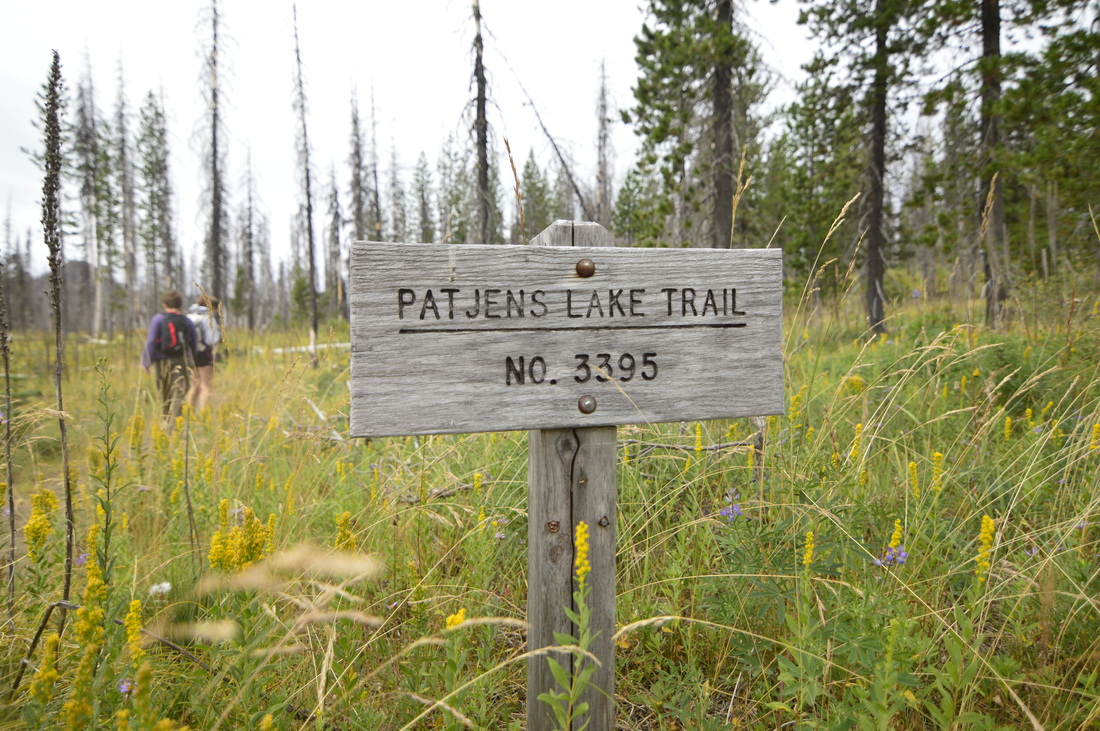
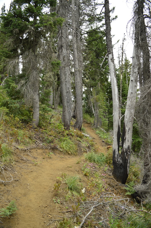
Patjens Lakes is a 6.9 mile loop hike in the Mount Washington Wilderness, which is mostly flat, easy, and perfect for the whole family. This hike starts right next to West Big Lake Campground, where people can camp with their horses and their motorcycles, since both are recreation options in the Big Lake and Hoodoo recreation area. The parking area for day hikers is well marked and the sign at the trailhead is very large. You can't miss it!
|
|
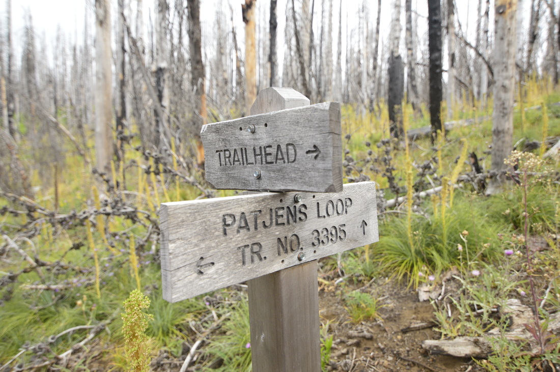
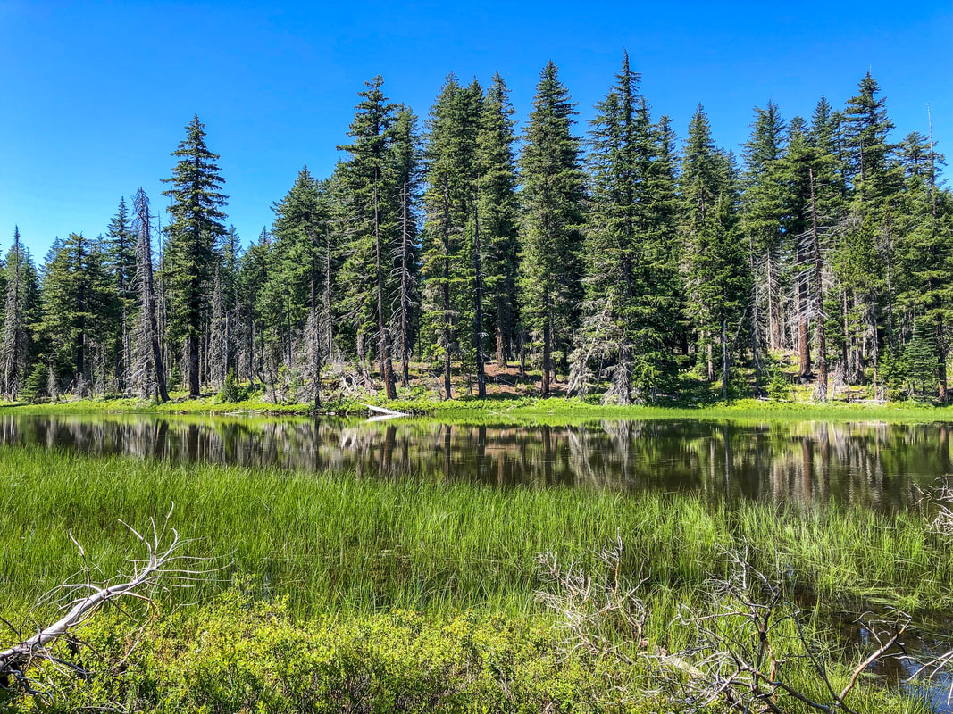
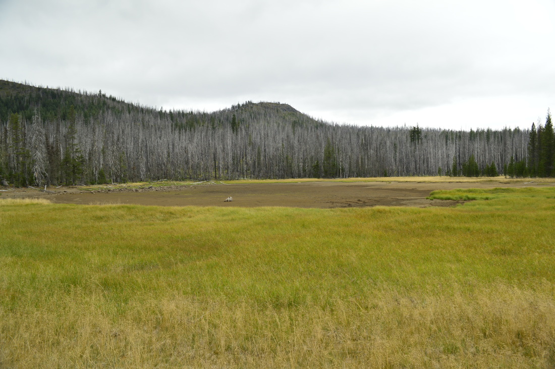
Within 0.2 miles of entering the trail, you will see a trail split (Y junction). This is where the loop starts. You can hike the loop either way, however there are some mountain views you can easily miss by going clock-wise, so this write-up describes the look counter clock-wise. Turn right at the sign to start the loop. After walking about 0.85 miles, you will come across a beautiful large meadow on the left, which the trail follows for a little while. Early in the season (late June and early July) there will be a multitude of wildflowers here and in the fall, the meadow will be golden with pops of red. After the meadow ends at the 1.5 mile mark, there is a split in the trail. The trail to the right goes to a horse camp, which is the staging area for the equestrian riders. You will continue on the trail to the left.
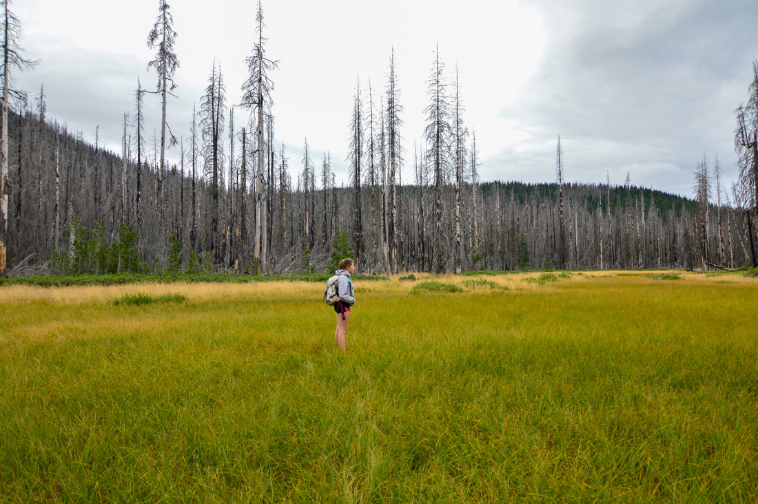
(a beautiful large meadow along the trail)
|
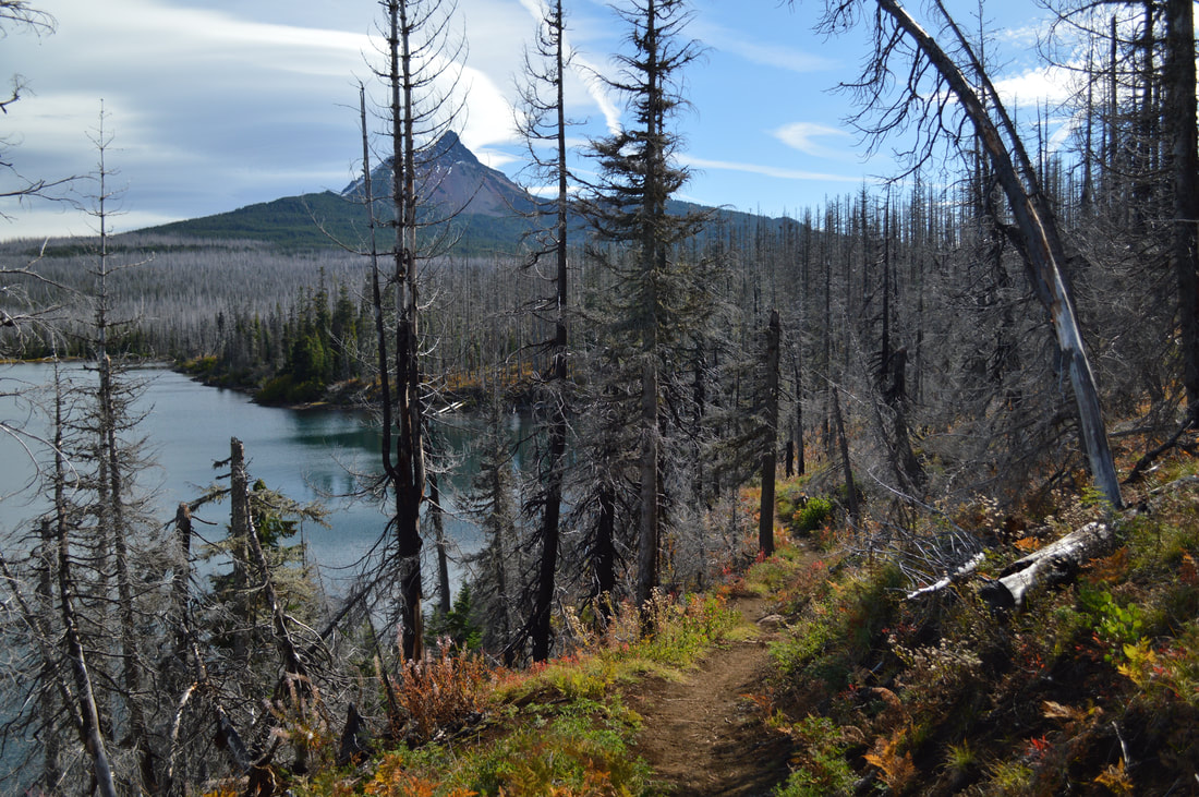
(Sand Mountain)
After the trail junction, the trail trends uphill for a bit until reaching a pass, with glimpses of Sand Mountain's double humps in the distance to the northwest. The trail follows the top of a ridge, and at the far end, before it dips down into the forest, keep an eye out for views of Mount Washington, the Three Sisters, the Husband, and Scott Mountain to the south.
|
(Three Sisters viewpoint)
|
(pond)
|
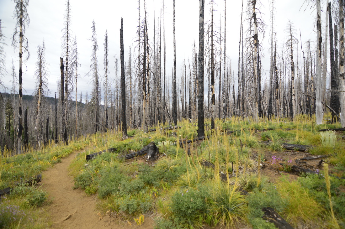
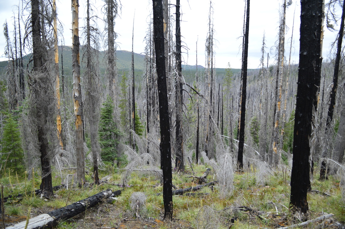
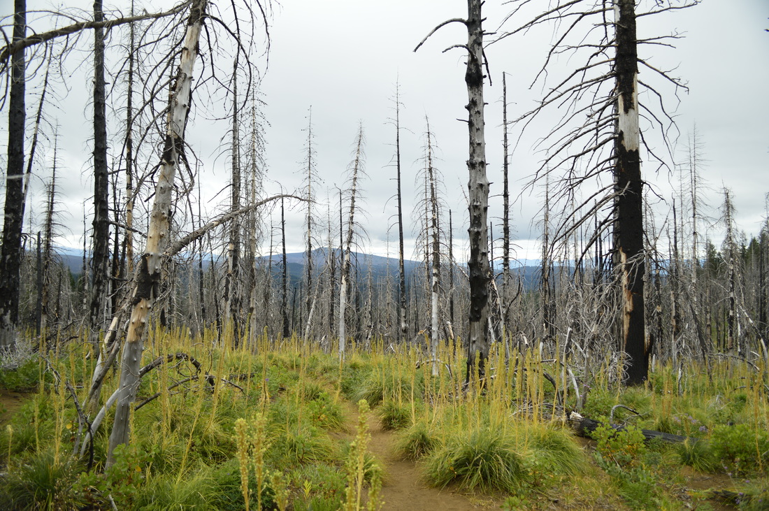
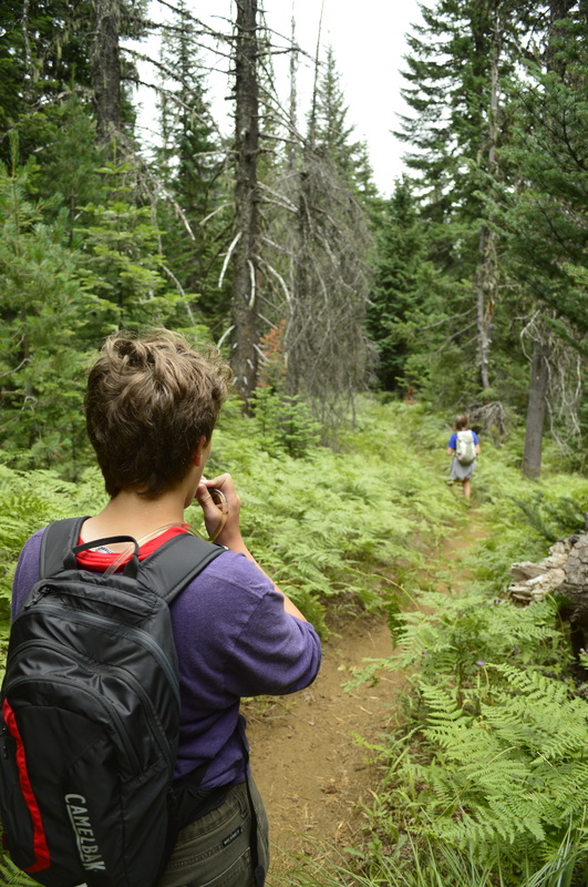
From the open ridge, the trail disappears into some greener woods. On this side of the hill, the signs of 2011 Shadow Lake wildfire aren't as prevalent and the forest has fern undergrowth and lots of green trees. The first body of water you will come across is nothing more than a pond to the right of the trail. Beyond the pond there looks to be a perfect flat camping spot though, if you want to camp here and stay away from the crowds at some of the other lakes or at Big Lake, this would be the perfect spot. Half a mile past the pond you will come across the first of the Patjens Lakes. This one is sheltered by trees and the water is a beautiful jade color. This lake doesn't have any spots for camping.
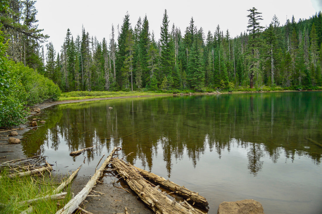
(Patjens Lake #1)
(Patjens Lake #2)
The second Patjens Lake is the most popular one because it is very large and is surrounded by a soft meadow with sandy ground underneath, perfect for camping. It is very open here and flat here and there are many backcountry camp spots around the lake to choose from. The third lake is right next to the second one, and it is very shallow, so depending on snowfall that year, by July or August it could be dried up already.
(Patjens Lake #3 is oftentimes dried up)
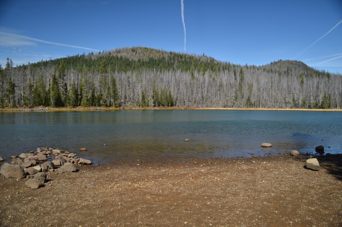
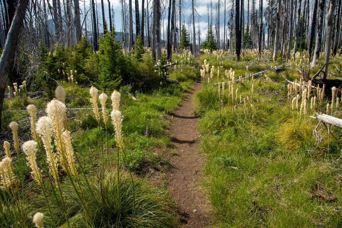
After seeing all of the Patjens Lakes, there is a 1.5 mile trek until you get to Big Lake. This 1.5 mile stretch of trail is probably the hardest because the trail trends uphill and the trail here is even more sandy and dusty than it is in other places along this loop. On very dry days you could be walking in about 4-5 inches of loose sand/dust. Make sure not to wear low rise shoes, as you will get lots of sand in them on this hike! You are also walking through more burnt forest so the trail is very exposed and can get quit hot. But the views of Mt. Washington are stunning and in July the trail is lined with fluffy white bear grass blooms.
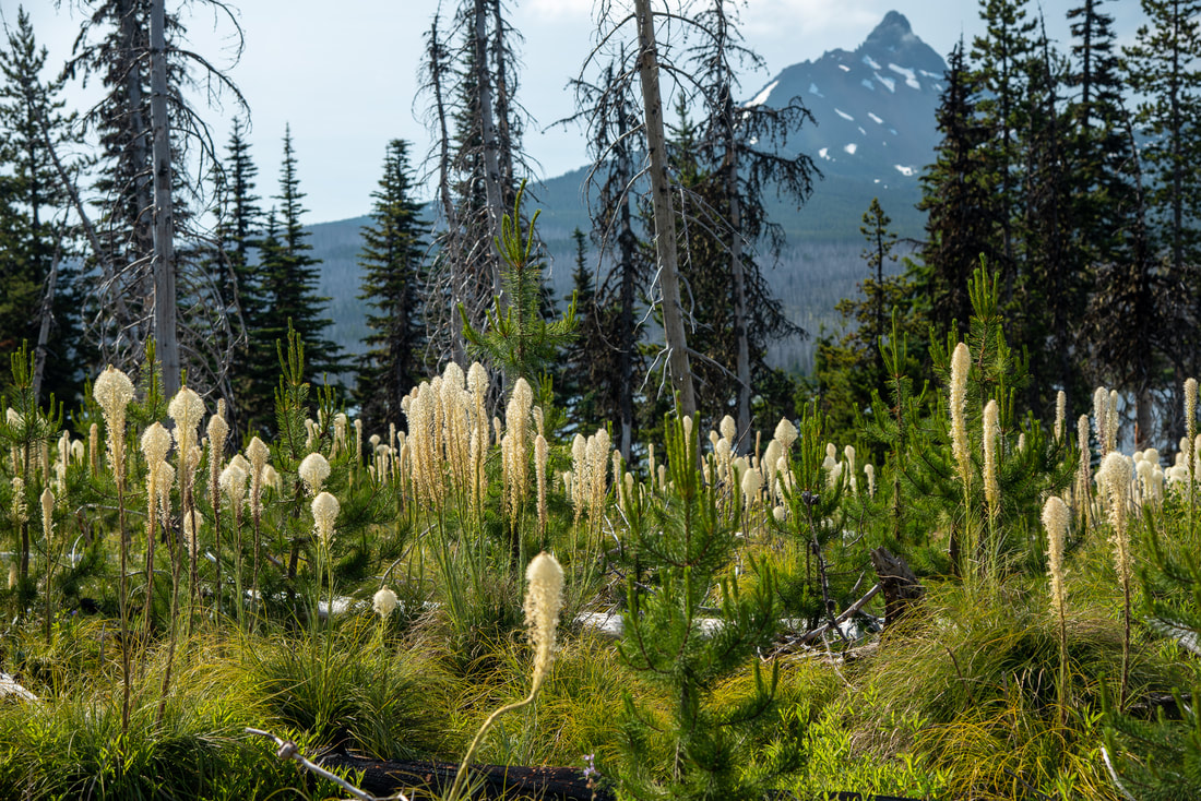
(Mount Washington)
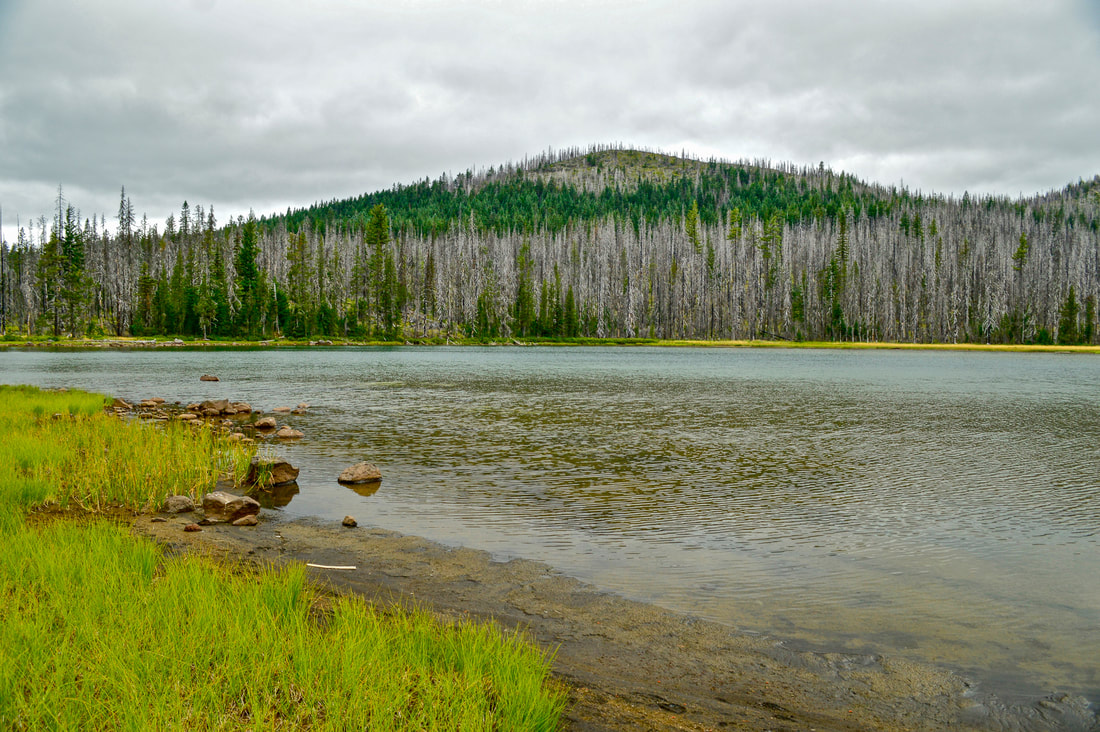
After 1.5 miles of what seems like the endless sandy abyss, you will come to an unmarked T junction. The trail to the right will take you to Big Lake Youth Camp, which is a Christian youth church camp that caters to PCT thru-hikers during the summer months. You will want to take the trail that goes to the left and hike 1 mile back to the trailhead. The view across Big Lake at Hayrick Butte and Sand Mountain is awesome, and if you look behind you, on a clear day you will see an amazing view of Mount Washington as well. On a warm day, you should definitely enjoy the sandy beaches at the lake below the trail and take a swim.
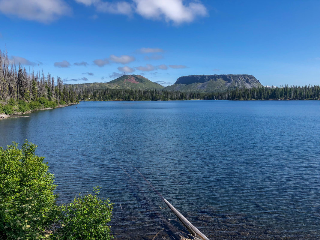
(view across Big Lake at Hayrick Butte & Hoodoo)
(on a clear day you can see a view of Mount Washington from the trail)
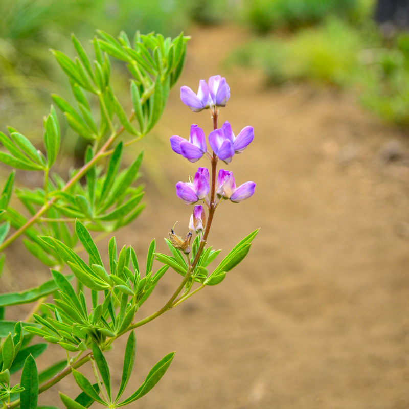
(Lupine)
|
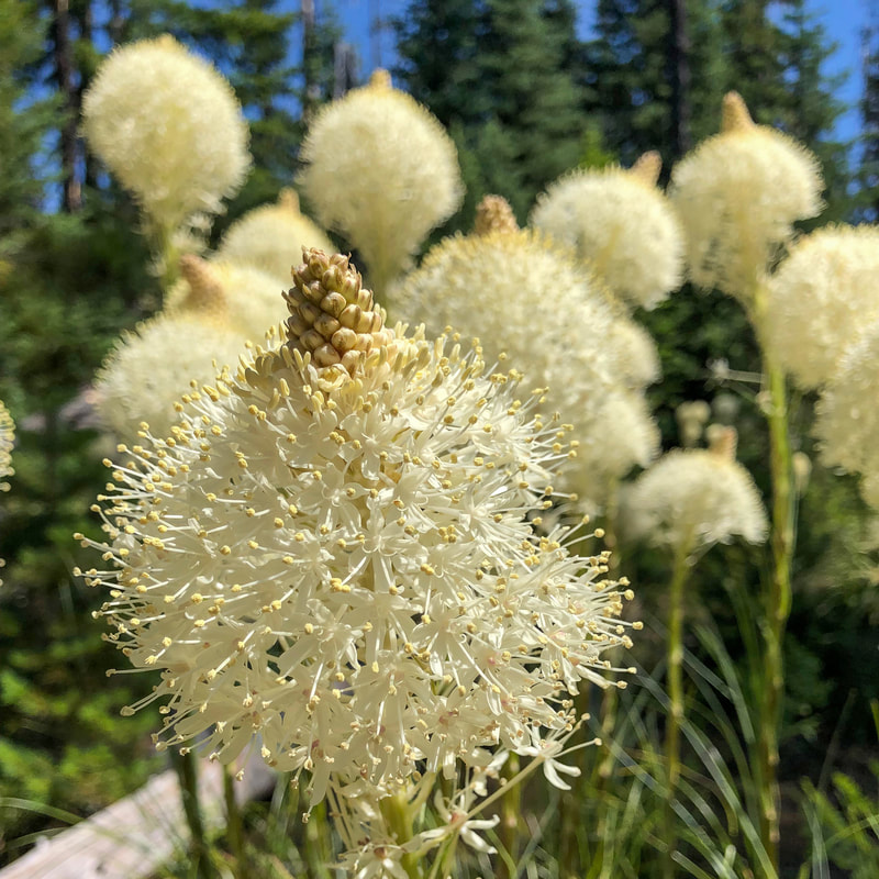
(Bear grass)
|
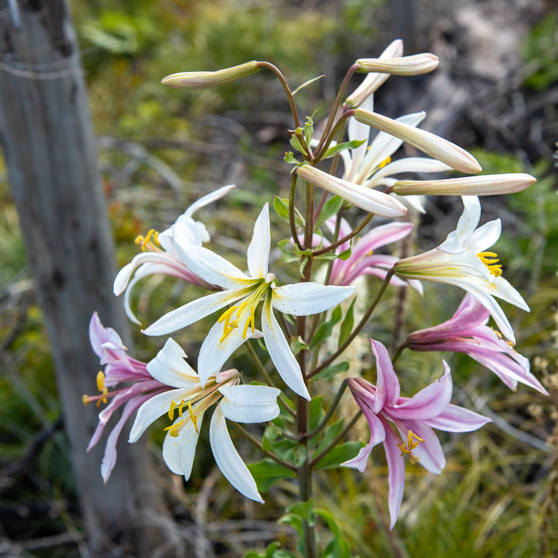
(Washington lily)
|
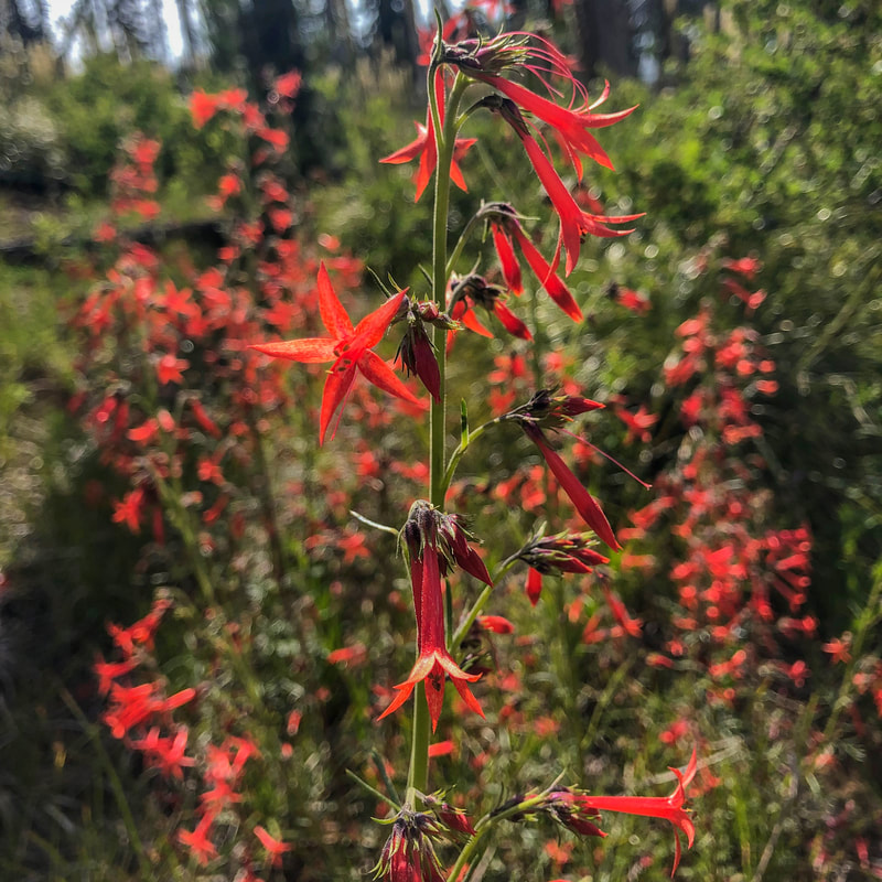
(Scarlet gilia)
|
The Patjens Lakes loop hike is absolutely spectacular and one of Hike Oregon's favorites! If you go in late June and early July, you will get to see all of the beautiful wildflowers that bloom among the burned forest, however you might have to deal with some mosquitoes. September and October are perfect months for hiking this trail as well, however make sure to dress in bright colors, as this area is extremely popular for fall deer hunting. This hike is perfect for kids ages 5 and up, and you can even make this into a little backpacking trip if you wanted to make it a shorter hike each day and camp at one of the lakes.
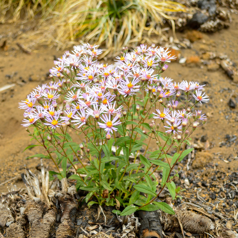
(Leafy fleabane)
|
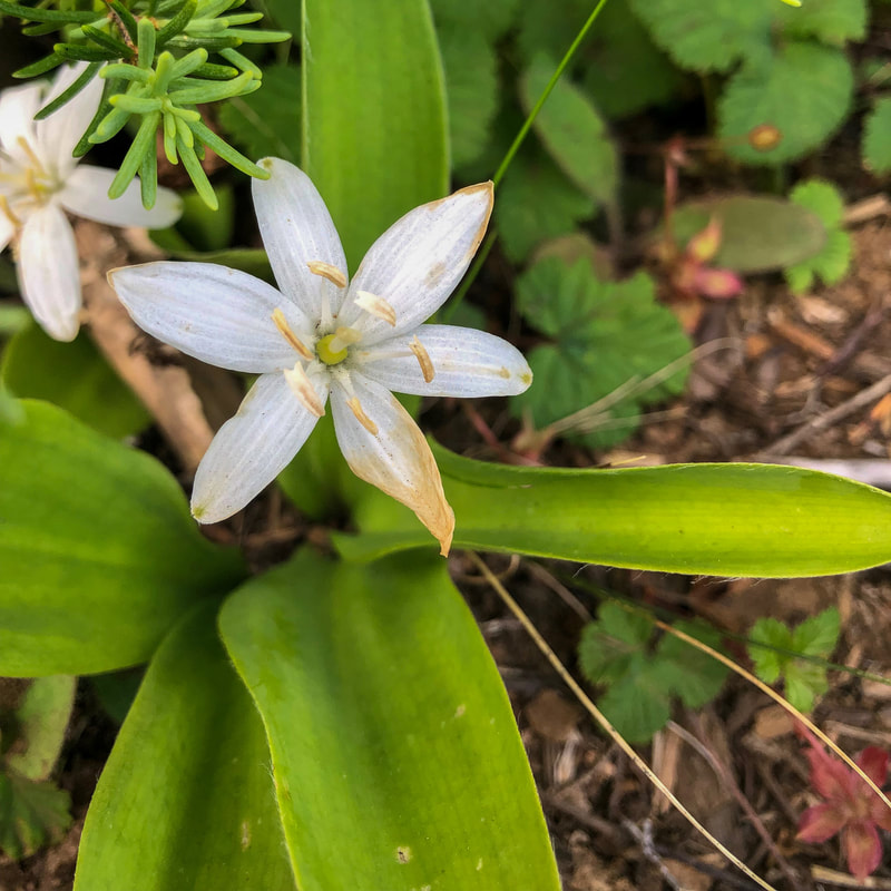
(Queen's cup)
|
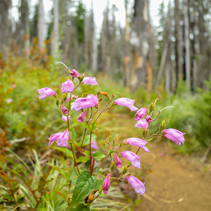
(Penstemon)
|
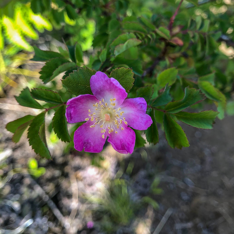
(Wood rose)
|
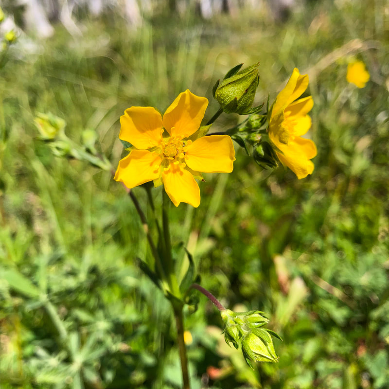
(Drummond's cinquefoil)
|
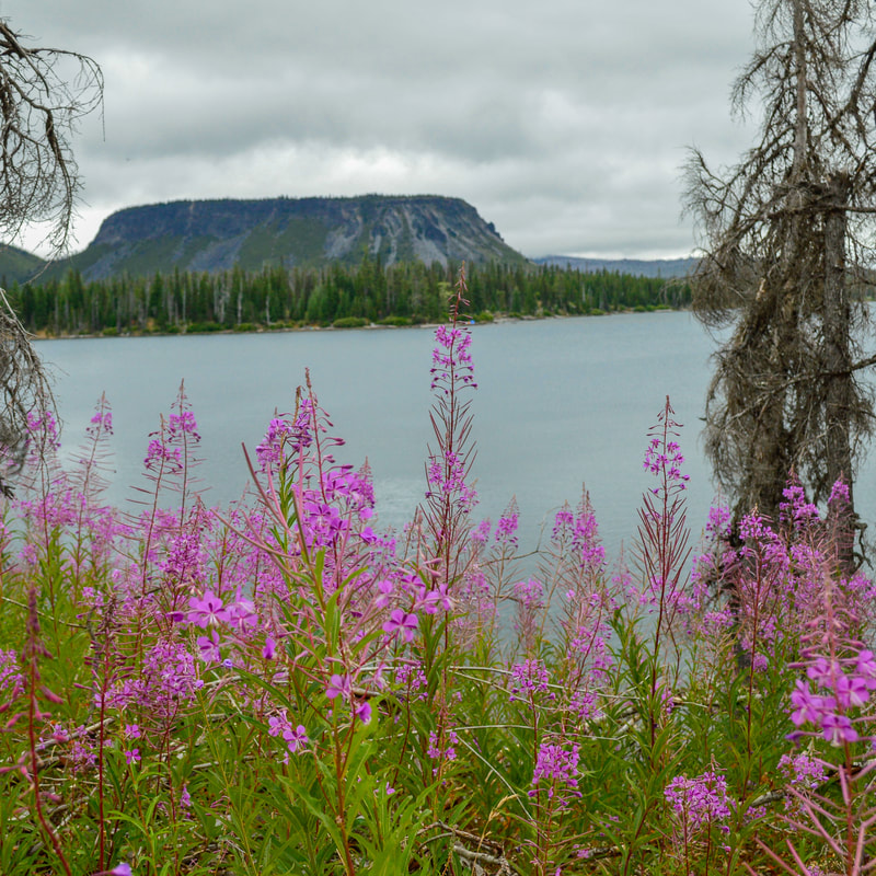
(Fireweed)
|
Directions:
From Sisters
- Drive on US-20 a total of 20.6 miles to Santiam Pass. Turn left at the sign for Hoodoo Ski area and Big Lake. Follow paved Big Lake Rd. for 4 miles to a hiker symbol sign on the right. There is special parking designated for hikers and and area for horse trailers. (Total of 25 miles)
- Drive on OR-126 E for a total of 68.2 miles, then merge right onto US-20 E for 8.4 miles up to Santiam Pass. Turn right at the sign for Hoodoo Ski area and Big Lake. Follow paved Big Lake Rd. for 4 miles to a hiker symbol sign on the right. There is special parking designated for hikers and and area for horse trailers. (Total of 89.5 miles)
- Drive on OR-22 E for a total of 80.2 miles, then make a slight left onto US-20 E for 5.1 miles up to Santiam Pass. Turn right at the sign for Hoodoo Ski area and Big Lake. Follow paved Big Lake Rd. for 4 miles to a hiker symbol sign on the right. There is special parking designated for hikers and and area for horse trailers. (Total of 93 miles)
- Total of 47.3 miles via Sisters.
- Total of 137 miles via Salem.
- Total of 219 miles via Bend and Sisters.
|
To get a more in-depth and personal view of this hike, watch the YouTube video.
|
-This trail write-up was last updated in July 2019-
*All pictures are taken by Franziska Weinheimer *Disclaimer: The trail descriptions, mileage, GPS tracks and difficulty ratings depicted on this website are never 100% accurate. Always hike at your own risk, using your own knowledge, equipment and common sense. Franziska Weinheimer/Hike Oregon are not responsible if you or anyone in your party gets injured or lost while attempting one of these or any other hikes.
|