Diamond Peak via Summit Lake Trailhead
Hike details:
Mileage: 11.25 miles out and back w/ 3,190 ft. elevation gain
Approximate hike time: 5 hours 37 minutes w/ an average pace of 2 mph
Difficulty: Very difficult (some route finding is involved)
Trail usage: Low to medium (depending on if it's PCT thru-hiker season)
Highest elevation: 8,743 ft. Lowest elevation: 5,590 ft.
General location: 40 miles southeast of Oakridge - Deschutes National Forest - Diamond Peak Wilderness
Suggested seasons: Late summer, early fall
(Best time to go is late August and through the month of September to avoid terrible mosquitoes and hot temperatures).
Permits required: N/A
Pit toilet at trailhead: Yes
Trail allows: Dogs, horses (on the PCT only), camping
Possible dangers: steep drop offs near the summit and losing the climber trail
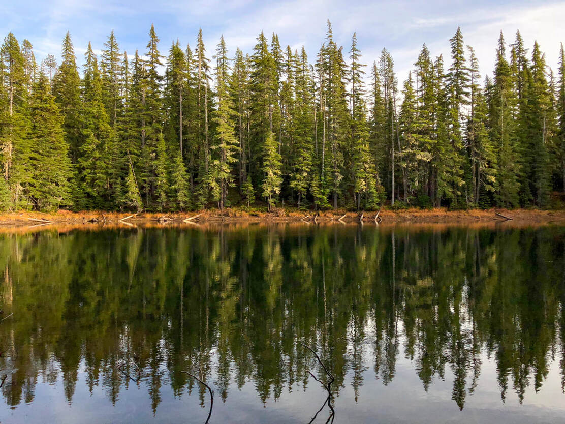
Description:Diamond Peak summit is one of the best and most underrated summit hikes in the Oregon Cascade range. There are a few different routes up the mountain, but the route starting at Summit Lake is by far the easiest. Summit Lake has a small first come first serve campground if you want to spend the night after a long day of summiting. There is also a lot of primitive camping along the Pacific Crest Trail near Summit Lake, as well as near small ponds on the way to the Diamond Peak climber trail.
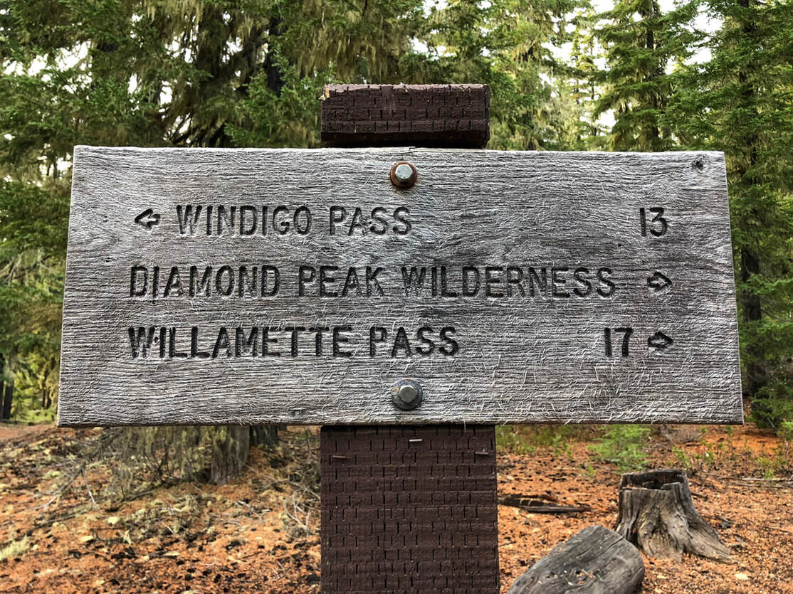
There is a large parking area across the road from Summit Lake campground where there is room for about 20 cars to park. Here you will see a trailhead sign and a sign for the Pacific Crest Trail. Southbound it is 13 miles to Windigo Pass, which is near Cowhorn Mountain. You will take the trail northbound for a total of 4.45 miles. |
|
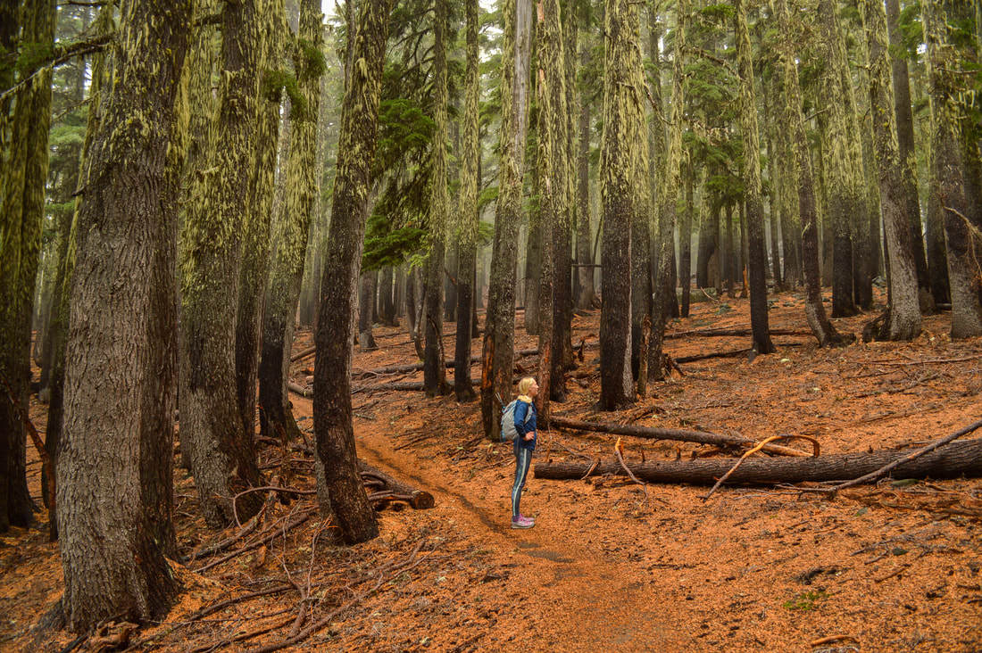
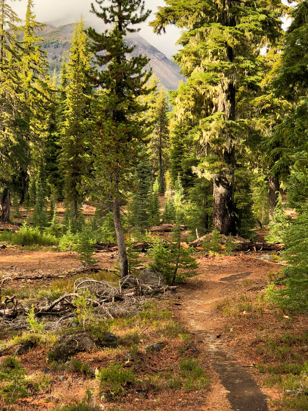
This section of the Pacific Crest Trail is extremely mellow and only gains a total of 1,010 feet of elevation during the entire 4.45 miles that you are on it. The trail takes you through a beautiful forest and past many small ponds. Keep in mind this area is infested with mosquitoes from mid-June to mid-August. PCT thru-hikers have said that the mosquitoes at Summit Lake are some of the worst they have ever experienced! Even though this is the Pacific Crest Trail, besides the few weeks that the bubble of thru-hikers come through, this area is not as well traveled as some other areas in Central Oregon because it is so remote. There is a lot of wildlife here and in fall it is a popular hunting area. You can see bear, elk, cougar, and there have even been wolf sightings. At 3.1 miles you will see a trail cross the PCT. The trail to the left takes you to Rockpile and Marie Lake and the trail to the right is a connector trail and would eventually take you to Fawn Lake.
|
|
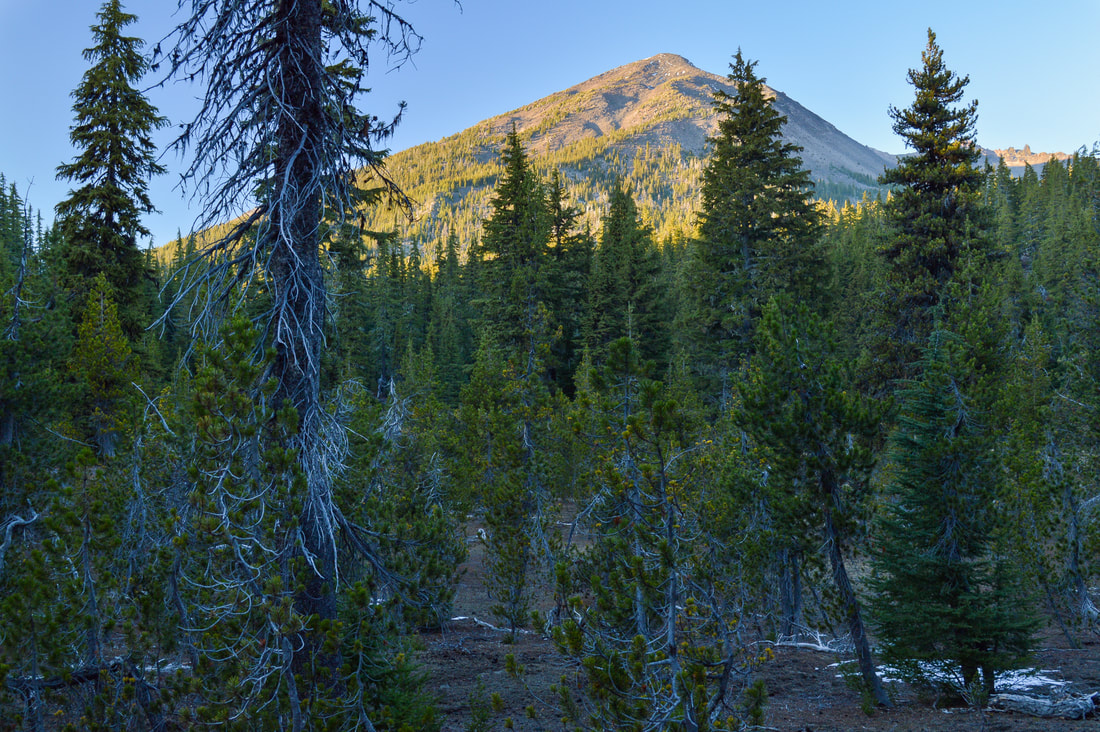
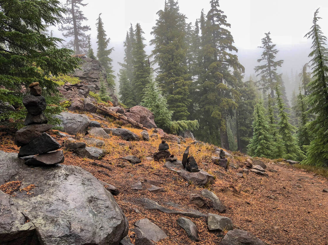
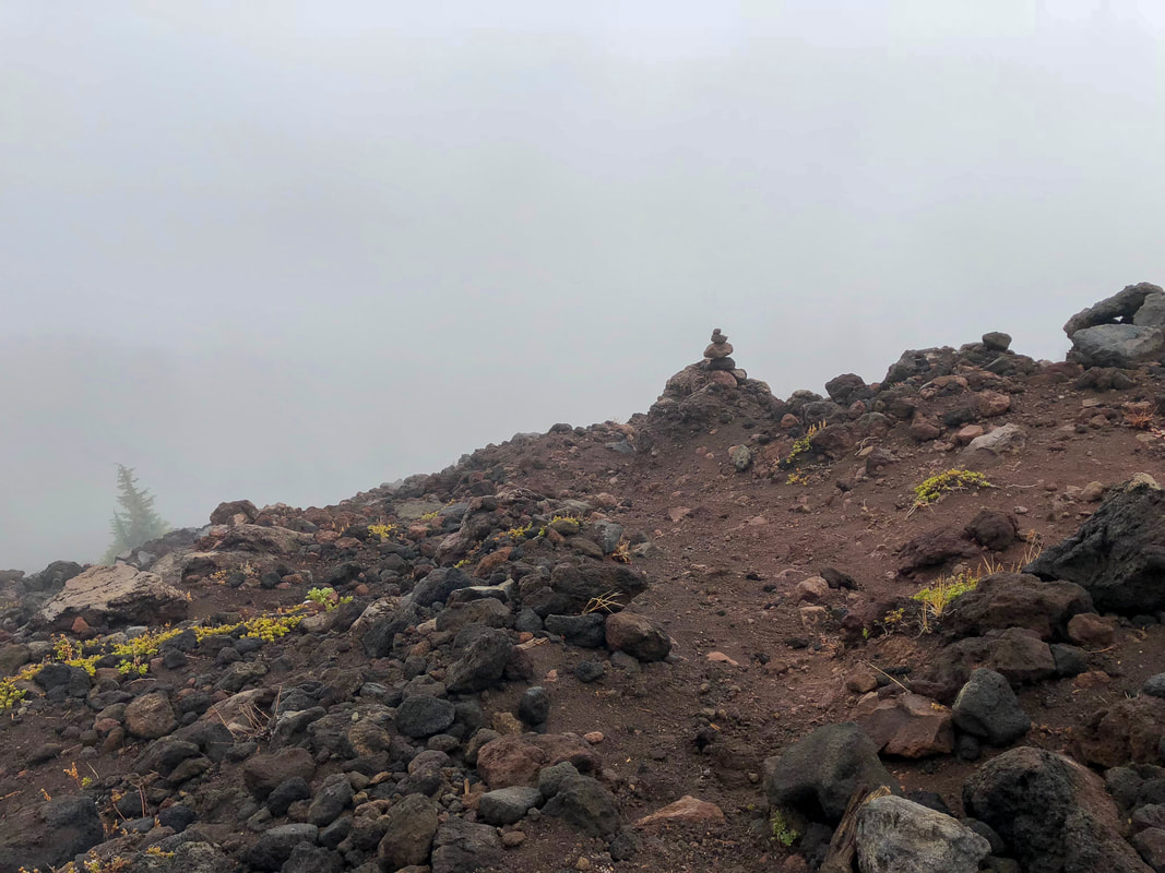
As you get closer to the Diamond Peak climber trail junction, you will catch glimpses of the mountain through the trees. The spot where the climber trail meets the PCT is fairly obvious, even if there aren't rock cairns there yet. The trail comes out from the woods and turns a sharp corner coming to a large open area with some rocks and a great view of Summit Lake, Cowhorn Mountain and Thielsen. This is a great PCT camping spot, and one of the only spots where you will have phone service. From here you will see various rock cairns and a faint trail going up to the left. There is no official climber trail like there is on South Sister or Mt. Bailey, but this is one of the most popular routes up Diamond Peak so it tends to be well marked with rock cairns, especially if you go later in the summer season.
|
|
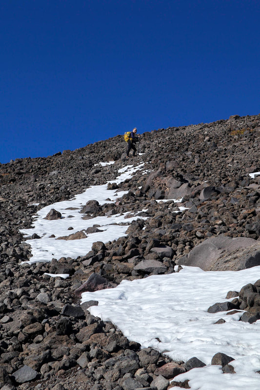
From the junction the climber trail immediately starts going steeply uphill. It is exactly 1.06 miles to the false summit and you will gain a whopping 1,800 feet of elevation in just that one mile! It is very steep and the rocks are loose, so take it slow. Having trekking poles helps immensely!
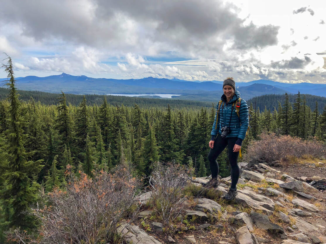
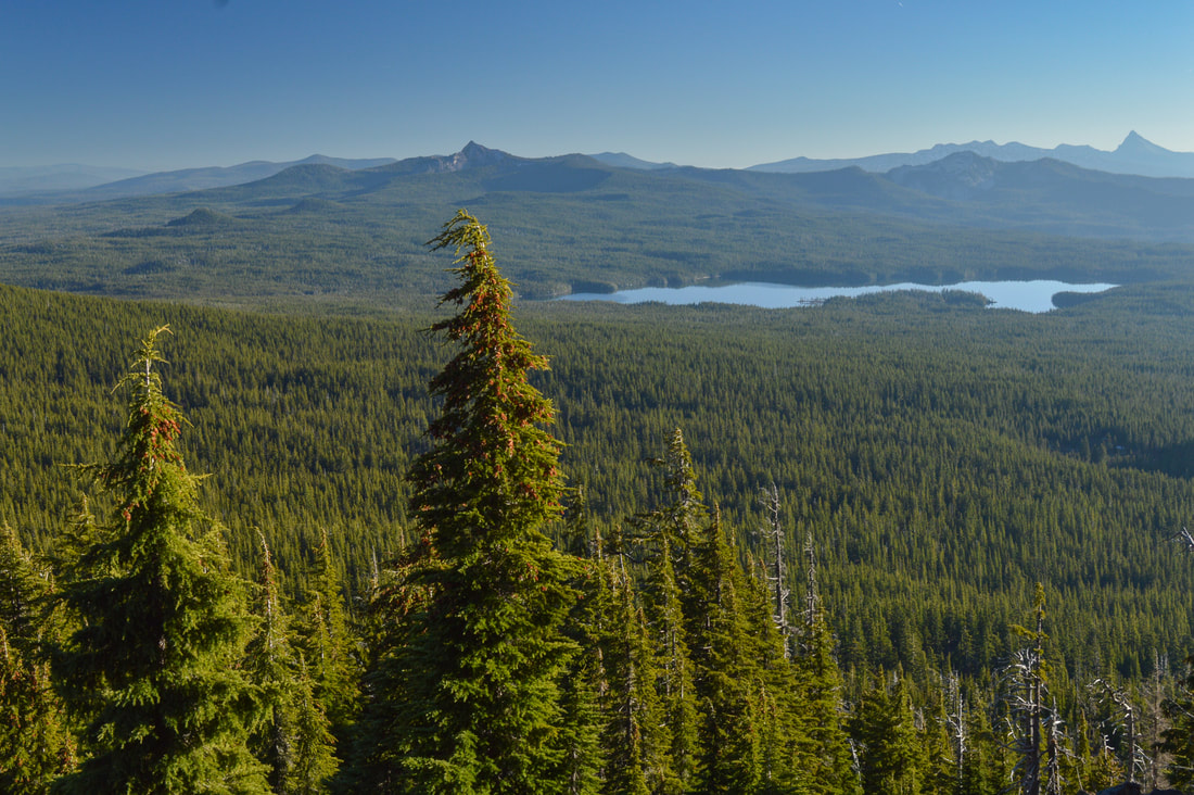
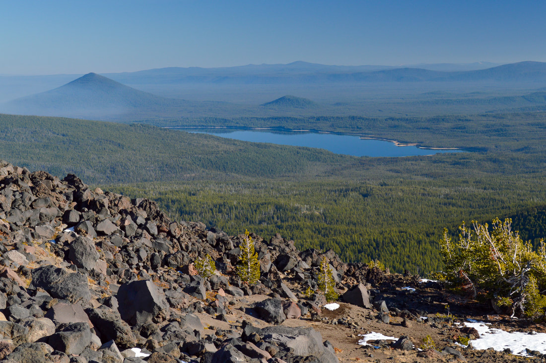
The first section of the climber trail is still through the trees so the ground isn't as loose as further up. You have some large rocks to hold onto if you need help with footing. Sometimes the route isn't really obvious, but just continue looking up and follow the rock cairns. Once you hit timberline, you will start seeing some spectacular views to the south of Summit Lake, Cowhorn Mountain and Mount Thielsen and northeast towards Crescent Lake. |
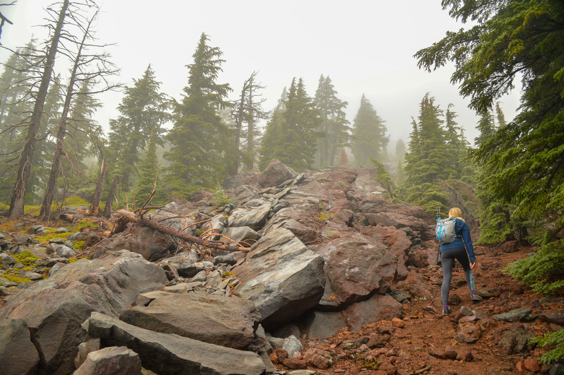
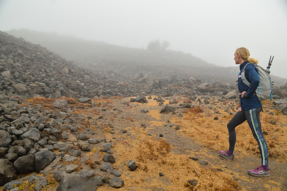
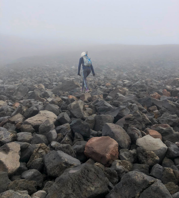
Shortly after hitting timberline you will come to a very obvious spot where the rocky/boulder section starts. This is the last push to the false summit. Here you won't see any rock cairns, but it's easy to see that you just go straight up. These rocks are loose so choose your footing wisely and just take it slow. Once you crest the boulder field you will be at Diamond Peak's false summit.
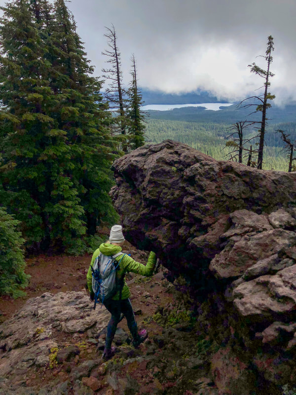
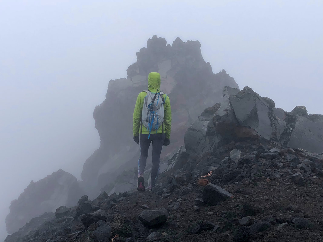
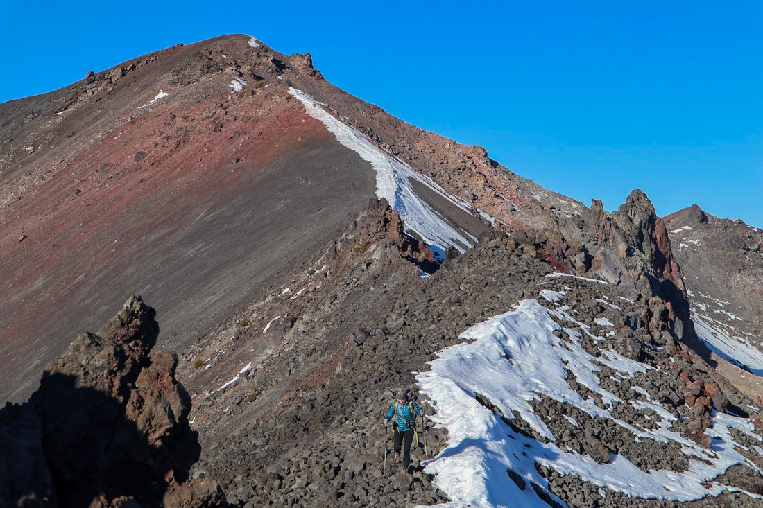
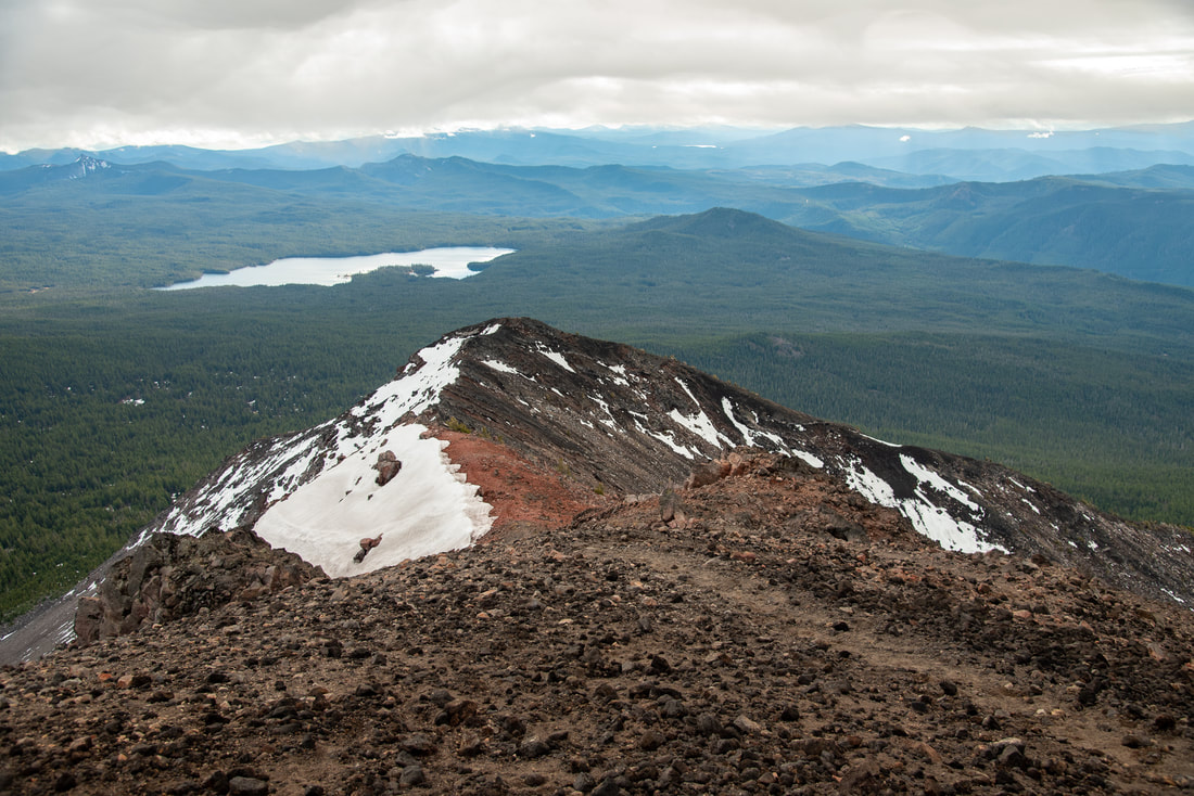
From the false summit you will hike along Diamond Peak's spine another 0.4 miles to the top, gaining your last 545 feet of elevation. The spine can look sketchy and narrow from the false summit, but it is about 3-4 feet wide in most spots. If you have trekking poles, put them away at the false summit so that you can have both of your hands free for maneuvering around the rock spires, the only slightly sketchy part of this whole hike. If you are not wanting to maneuver the rock holds to get past the spires on the way to the summit you can stay at the false summit. You will still have great views from there towards the south as well as to the east and west.
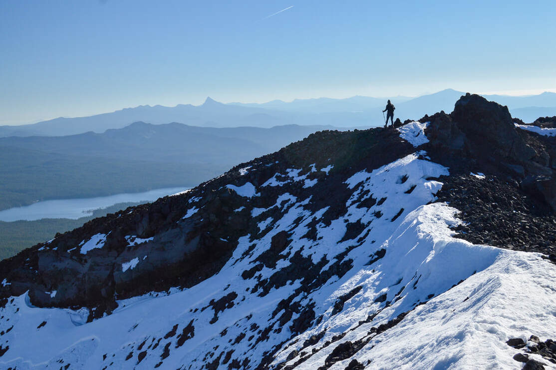
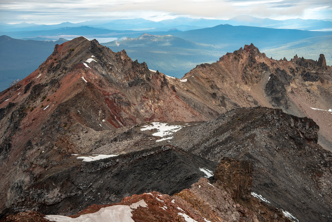
The summit is spectacular though and offers views of the rest of Diamond Peak's arms, and you can see Waldo Lake, Willamette Pass, Maiden Peak, the Three Sisters and Mt. Bachelor in the distance to the north. To the south you will see Mt. Thielsen and Summit Lake where you came from. The summit is fairly large and flat and during non-windy conditions (which is rare) you could even spend the night up there and witness a life changing sunset and sunrise. For the way down, be careful to not go the wrong way. It is very easy to continue going straight down after the rocky/boulder area, which will put you out at Marie Lake, the small lake near Rockpile Trail. Navigating the way down with the GPS track that you recorded when going up will be very helpful.
Diamond Peak is absolutely incredible and one of Oregon's most underrated summits! It is rated 'very difficult' only because there is route finding involved near the top as well as maneuvering around the spine's rock spires. The rest of the hike would definitely be rated easy to moderate. When thinking about the timing of your hike and making sure you have enough daylight hours, keep in mind that the last 1.5 miles of this hike (the actual climb) will take between 1.5-2 hours and it is pretty slow going on the way down too. Because the rocks are loose you have to watch your footing carefully. Once you get back down to the PCT it is easy cruising though.
Directions:
**If you Google directions to Summit Lake DO NOT take the suggested route even if Google says it is faster. The 6 miles of road NF-398 from Crescent Lake to Summit Lake is some of the roughest road you will ever experience in Oregon and the road gets worse every single year. This road should not be attempted unless you have a very high clearance Jeep or 4Runner. Even with these high clearance cars the 6 miles will likely take about 45 minutes to 1 hour to navigate. For reference, a Subaru Crosstrek barely made it 3 years ago.
From Oakridge
From Oakridge
- Drive OR-58 east to the outskirts of town and then turn right onto Hills Creek Rd/Kitson Springs Rd. for 0.5 miles. Turn right onto US Forest Service Rd 21 then almost immediately turn left onto NF-21. Stay on this road for a total of 10.3 miles. The road will cross a bridge, stay right on NF-21 for another 21 paved miles. Turn left onto Rigdon Rd/US Frst Service Rd. 21 for 0.5 miles, then turn left onto FS-380 for 0.2 miles. Continue onto Rigdon Rd/US Frst Service Rd. 380 for 4.1 miles, then at a sign for Summit Lake continue straight onto NF-380 for 1.8 rough miles. The trailhead will be on your left. (Total of 41.1 miles.)
- Drive on OR-62 east for 49.5 miles, then make a slight left onto OR-230 N for 23.8 miles. Turn left onto OR-138 W and stay on this road for 9.4 miles. Turn right onto NF-60 for 4.5 miles, then turn left onto NF-2612 for 1.2 miles. At a fork take a slight right for 0.3 miles, then continue straight onto NF-700 for 5.2 miles. Continue straight onto NF-770 for 0.7 miles, then continue onto FS-6000. 770 for another 2 miles. Turn right onto NF-2154 for 1 mile, turn right to stay on NF-2154 for 2.5 miles. NF-2154 turns slightly left and becomes NF-215. After 0.5 miles, turn right onto FS-2154 then immediately turn left onto NF-398 for 2.1 miles. At a junction turn left to stay on NF-398 at a sign for Summit Lake. After 2 rough miles, the trailhead will be on your left. (Total of 112 miles)
- Total of 138.5 miles via Oakridge. Total of 76.4 miles via Crescent Lake and NF-398 which requires a high clearance vehicle.
- Total of 84.7 miles via Oakridge.
- Total of 146 miles via Oakridge.
- Total of 189 miles via Oakridge.
*All pictures unless otherwise marked are taken by Franziska Weinheimer
*Disclaimer: The trail descriptions, mileage, GPS tracks and difficulty ratings depicted on this website are never 100% accurate. Always hike at your own risk, using your own knowledge, equipment and common sense. Franziska Weinheimer/Hike Oregon are not responsible if you or anyone in your party gets injured or lost while attempting one of these or any other hikes.

