Hardesty Mountain
Hike details:
Mileage: 10.5 miles round trip w/ 3,312 ft. elevation gain
Approximate hike time: 4 hours 33 minutes w/ an average pace of 2.3 mph
Difficulty: Difficult
Trail usage: Low
Highest elevation: 4,266 ft. Lowest elevation: 954 ft.
General location: 21 miles east of Eugene - Willamette National Forest
Accessible: April through early December
(Best time to go is end of April, May, and October, November, December. Skip the summer months, there are better things to summit than Hardesty during that time).
Permits required: Northwest Forest Pass for parking
Pit toilet at trailhead: Yes
Trail allows: Dogs, mountain biking
Possible dangers: N/A
|
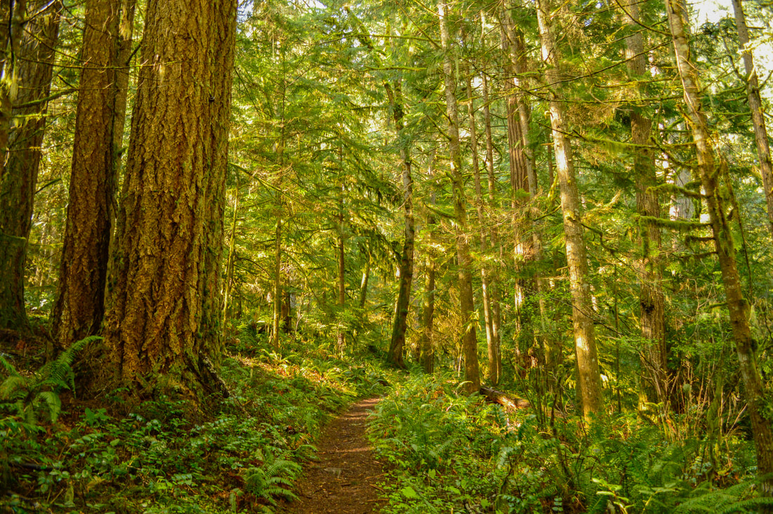
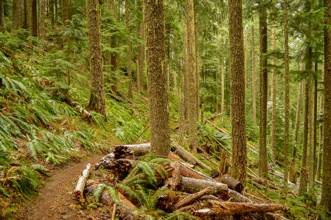
Description:Hardesty Mountain Trail is one of those perfect training trails for those who want to hike distance and gain some elevation close to town. Besides being a stunning forest walk, there is nothing special about this particular hike since the trees at the summit of Hardesty Mountain have grown tall enough to obscure the view.
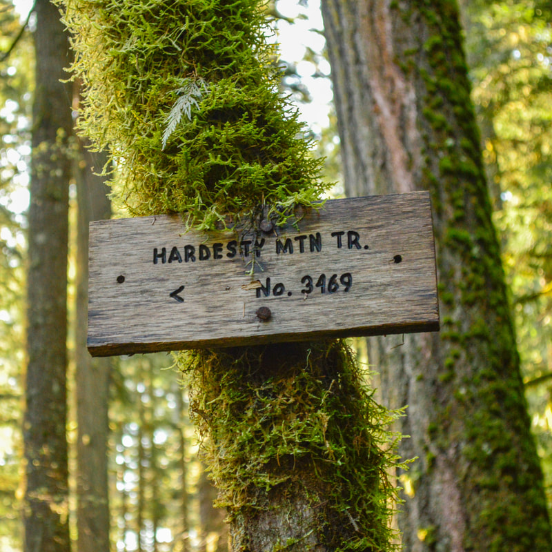
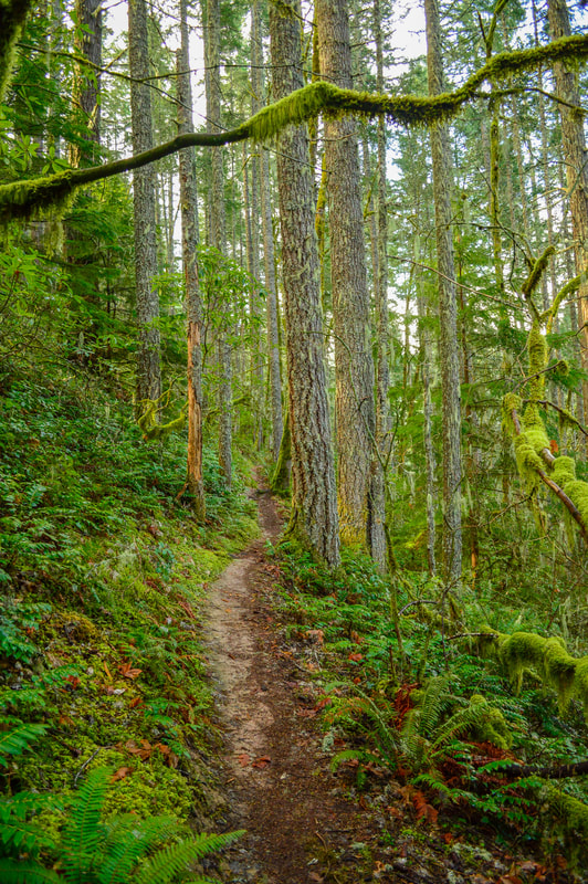
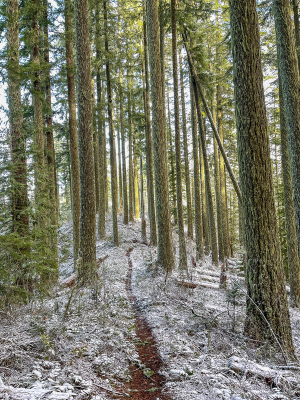
To start, hike on the Hardesty Trail #3469 for 0.25 miles. Here the Goodman Creek Trail splits off to the right and you will continue on trail #3469 to the left. After another 0.35 miles there will be another trail split where the South Willamette Trail #3465 goes to the left and you will stay on the Hardesty Trail to the right. At mile 1.6 there are some short switchbacks which make the climb a bit easier. |
|
|
|
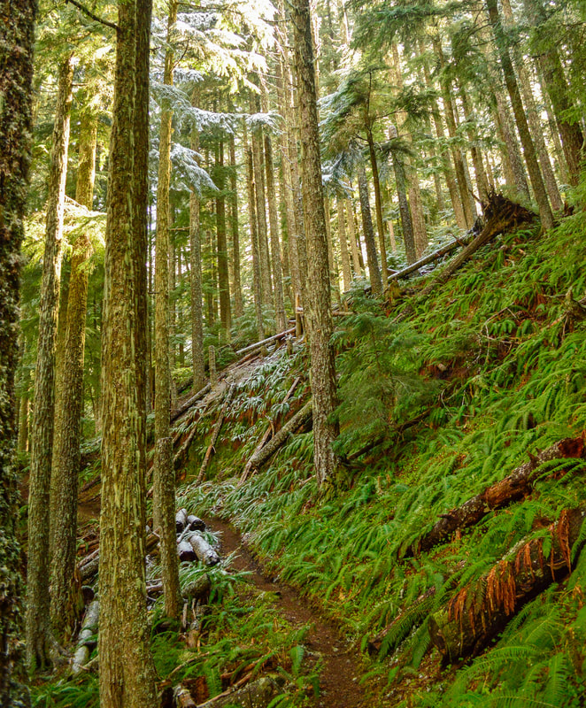
At the 2 mile mark you will have hit 2,200 feet elevation and from here the trail follows the natural ridgeline. The entire trail is gorgeous, but this section in particular is really cool because you can see the trail for a long way winding through the trees because the forest is a little bit more open. Sometimes there are some low winter clouds that hang in the trees creating some amazing lighting and cool pictures. From up here you can catch some views of Lookout Reservoir to the north making you appreciate how far up you have climbed.
At mile 4.7 you will reach the junction with the Eula Ridge Trail (another great training hike). Continue straight and continue the last 0.3 miles to the top of Hardesty Mountain. Up here you will see a flat area with some rocks, and you can tell that before the trees grew tall, this was once a spectacular view. Large rhododendron bushes crowd the top, giving it a bit of a closed-in vibe. When I was up here alone I saw some large cougar scat and just overall got an eerie feeling. Once you're done checking out the top and enjoying a snack or some lunch, head back down the way you came. Remember that the way down can often times be harder on your legs than going uphill. Trekking poles help immensely and can also keep you from slipping if the trail is muddy. |
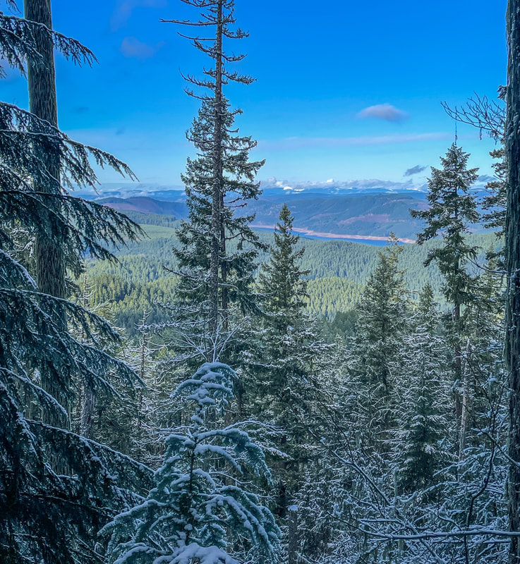
(view toward Lookout Reservoir)
|
|
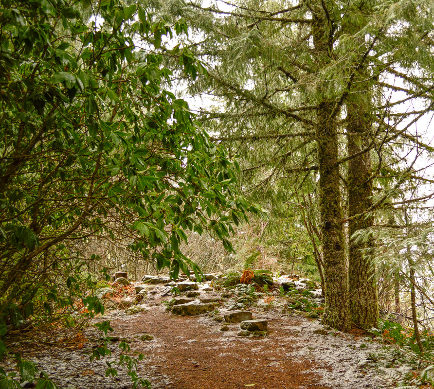
(Hardesty Mountain summit)
Even though the Hardesty Mountain Trail doesn't lead to any epic viewpoints, it is definitely a very pretty hike and perfect for those folks who want to get some mileage and elevation gain under their belt. This is a great training hike for summer mountain summits like South Sister, Diamond Peak or Mount McLoughlin.
|
Directions:
From Eugene
- Drive on OR-58 E for 21 miles. Right after passing Goodman Creek Rd. pull off into the large marked parking lot on your right. (Total of 21 miles)
- Drive on US-97 S for a total of 46.9 miles, then turn right onto Crescent Rd./Crescent Cutoff Rd. for 12 miles. Turn right onto OR-58 W for 51.9 miles and find the Hardesty trailhead on your left. (Total of 111 miles)
- Total of 89 miles via Eugene.
- Total of 133 miles via Eugene.
- Total of 181 miles via Eugene.
-This trail write-up was last updated in April 2023-
*All pictures are taken by Franziska Weinheimer
*All pictures are taken by Franziska Weinheimer
*Disclaimer: The trail descriptions, mileage, GPS tracks and difficulty ratings depicted on this website are never 100% accurate. Always hike at your own risk, using your own knowledge, equipment and common sense. Franziska Weinheimer/Hike Oregon are not responsible if you or anyone in your party gets injured or lost while attempting one of these or any other hikes.