How to use this site
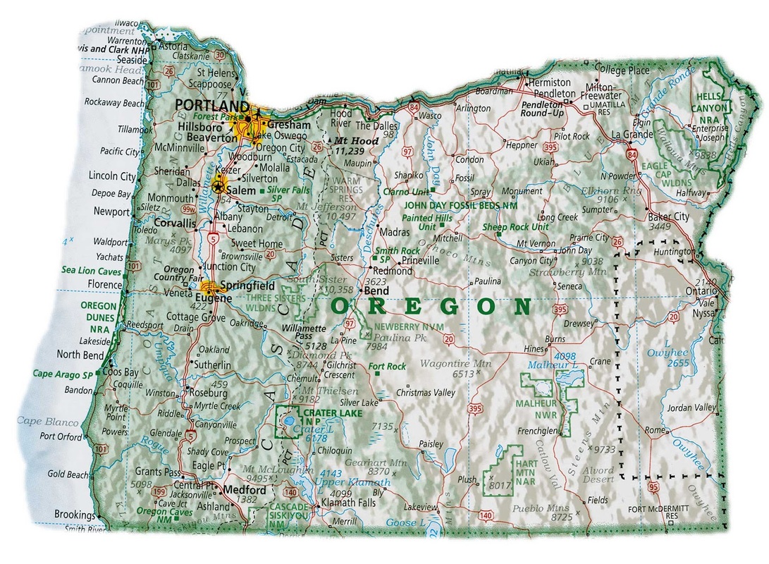
I wanted to provide my readers with a map of Oregon, since navigating all of the passes and watersheds in Oregon can be confusing. It took me about a year of constant driving around to all of the different hikes to really get familiarized with the western half of Oregon.
Difficulty ratings: I have four difficulty ratings for my hikes, easy, moderate, difficult and very difficult. I will rate a hike easy if it is 1-5 miles, generally pretty flat, 1,000 ft. or less of elevation gain, and the trail is well maintained with little to no rocks, large roots and no cliff exposure etc.
A moderate hike would be 6-9 miles long, if the trail is a little bit rocky and off camber, and/or if there is 1,000 to 2,500 ft. elevation gain. I would consider a hike difficult if the hike is 9+ miles, and if there is 2,500+ ft. of elevation gain, also if the trail is very rocky, loose and off camber, if you have to use navigation skills, and if there is cliff exposure. A very difficult hike would be everything that is mentioned in a difficult rated hike, as well as if there are sections where you have to scramble, rock climb, or if there is serious risk of getting injured or lost.
At the end of each trail review I do generally say why I have given the hike that particular difficulty rating, and I also mention how long approximately the hike will take you.
On the Homepage of the site, there is an interactive clickable Google map with colored hike icons on it. These depict all the hikes that are on the website, and they are color coordinated in terms of what type of hike.
Yellow- sandy coast hikes
Green- forest hikes
Dark blue- waterfall/river hikes
Purple- mountain/viewpoint hikes
Light blue- lake hikes
Members Only - you may see this next to some hikes on the website. These hikes can only be viewed by paying members. Hike Oregon offers a seasonal membership for all 4 seasons which includes being able to view all Members Only hikes on the website, a brand new hike write up pertaining to that season, and an educational newsletter.
*Please Note- not all of the hikes on the website are open all the time. If you have a question about current conditions, whether it be fire closures, snow, or other potential hazards, please feel free to email me or message me on the Hike Oregon Facebook page.