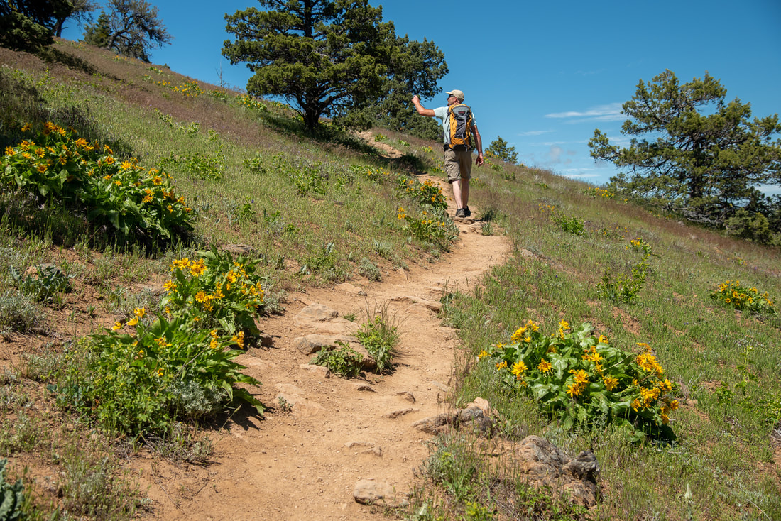
20 Epic Oregon Wildflower Hikes
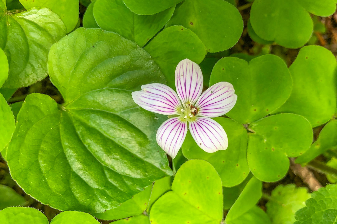
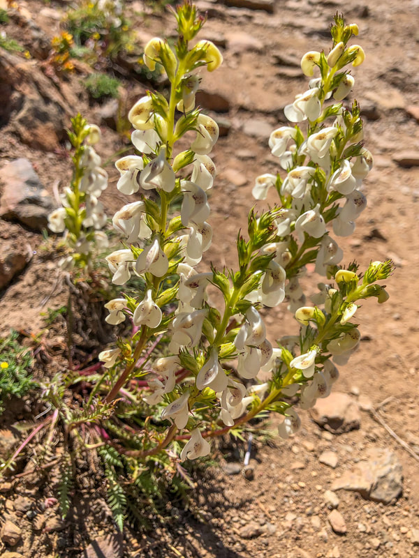
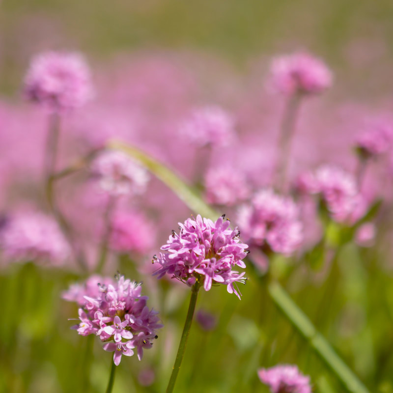
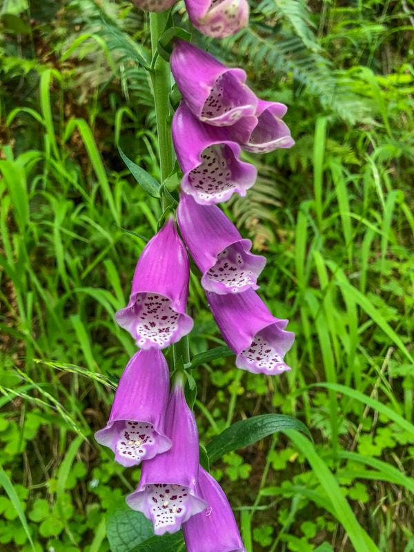
Wildflowers begin blooming at lower elevations in Oregon in mid-March and then you can follow the snowmelt through the summer, up to higher alpine elevations where you will find flowers blooming typically until the beginning of August. There are hundreds of different wildflowers in this state and it is part of the adventure to find out what each flower is called. Here are some great wildflower resources to use in identifying flowers: Oregon Wildflower Search website and phone app. If you can't find the flower on that app or website, the Wildflowers of the Pacific Northwest book will get you there without fail. Whether you're in need of an easy hike to enjoy with your kids, or you want to do something harder and more off the beaten path, this list of 20 Oregon wildflower hikes has it all!
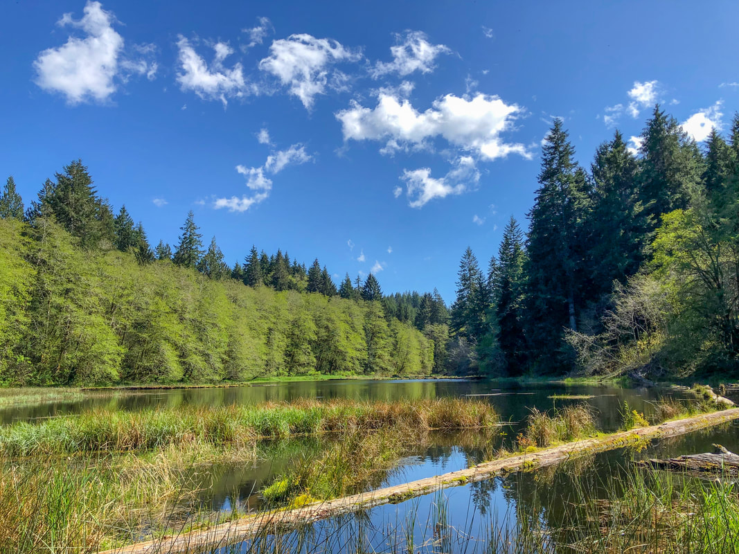
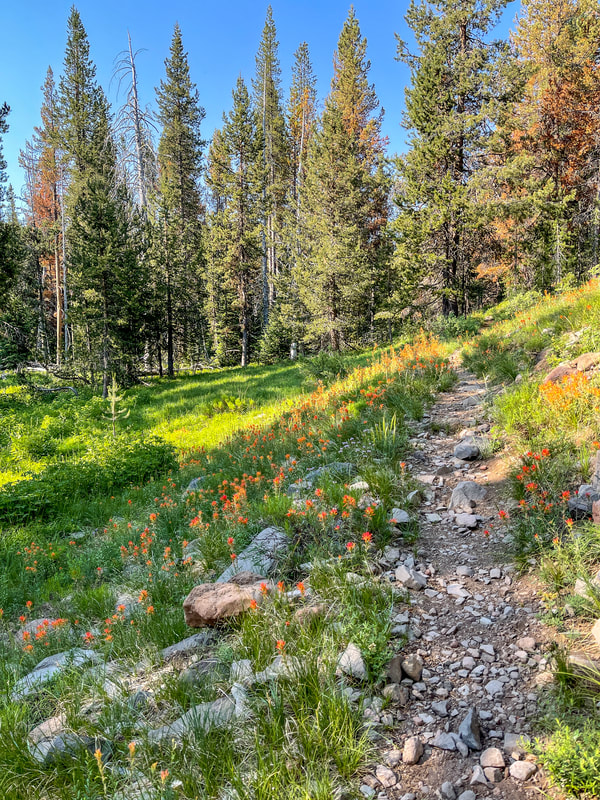
1) Soapstone Lake Loop
|
|
Closest town: Seaside
Hike features: Spring wildflowers, a lake
Mileage: 2.8 mile lollipop loop w/ 325 ft. elevation gain
Difficulty: Easy
Trail usage: Low
Best time to hike this trail for wildflowers: May
About the hike: This little gem is hidden in the Clatsop State Forest and is the perfect spring getaway for those who want to take an easy walk through the forest, see lots of wildflowers in the spring, and experience the solitude of a sweet little lake. This hike is very easy and perfect for the whole family.
(The information for this hike can be found in the guidebook '52 Hikes for 52 Weeks')
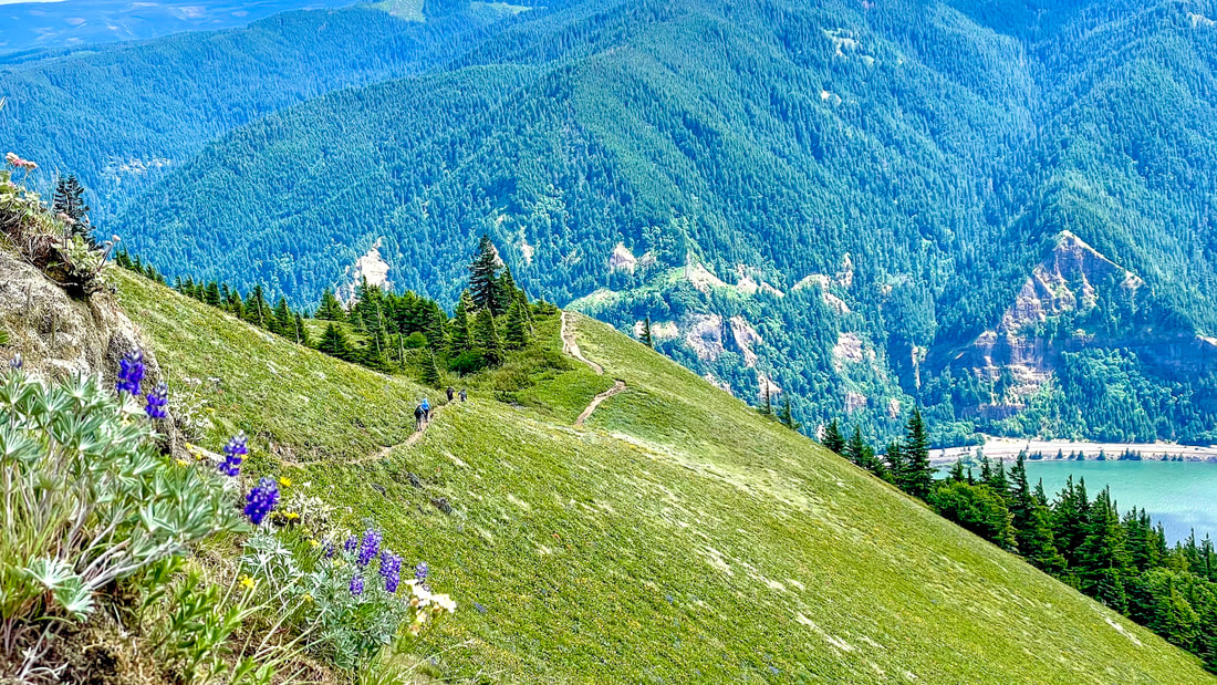
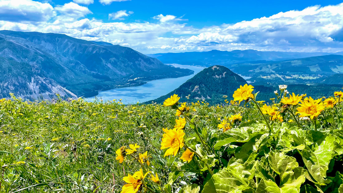
2) Dog Mountain
|
|
Closest town: Cascade Locks
Hike features: Spring wildflowers, views of the Columbia River Gorge, beautiful forest
Mileage: 3 miles round trip w/ 1,500 ft. elevation gain OR 6.9 mile loop w/ 2,835 ft. elevation gain
Difficulty: Moderate to difficult
Trail usage: High
Best time to hike this trail for wildflowers: mid-April through May
About the hike: Even though this hike is technically in Washington, it is merely a stone's throw from Oregon, and is one of the best wildflowers hike in the area, so it had to be included in this list. This trail is steep and has some exposure, so it is not of the faint of heart. The epic views of the Columbia River Gorge will take a back seat to the large hillsides of yellow balsam root flowers that will take your breath away!
(Click here for more information and directions)
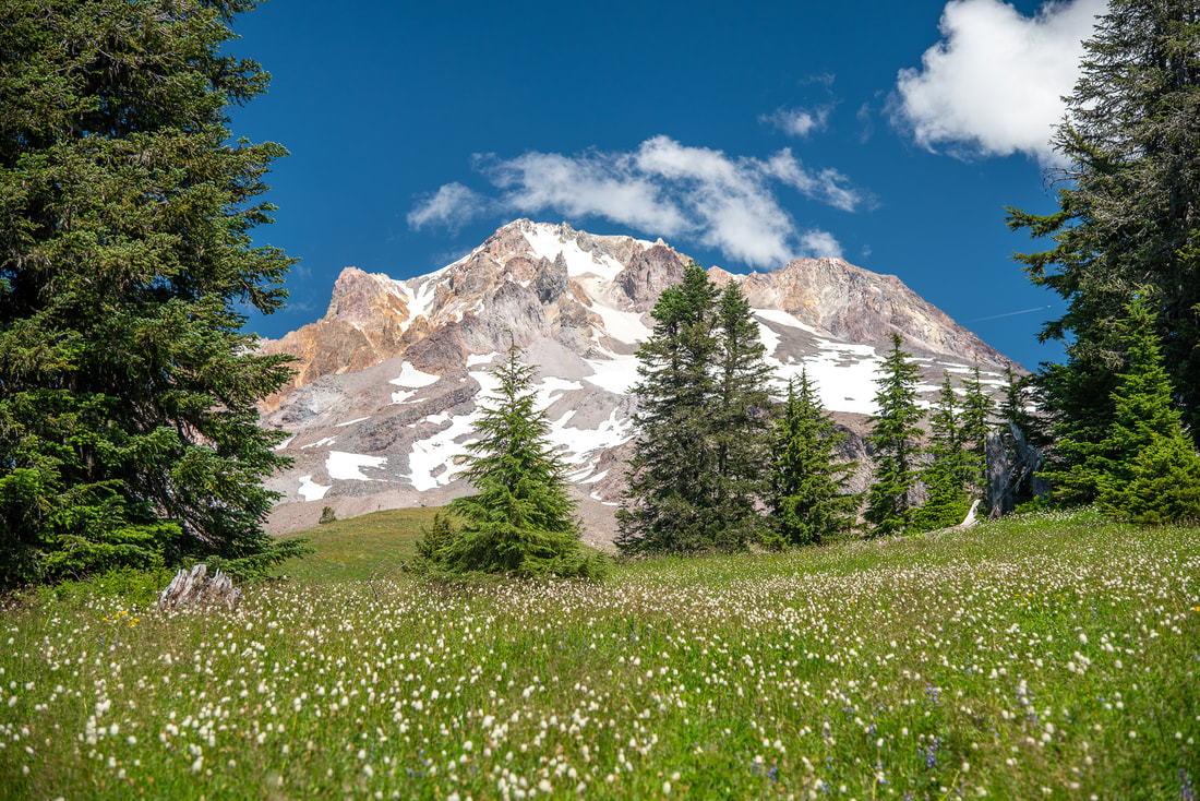
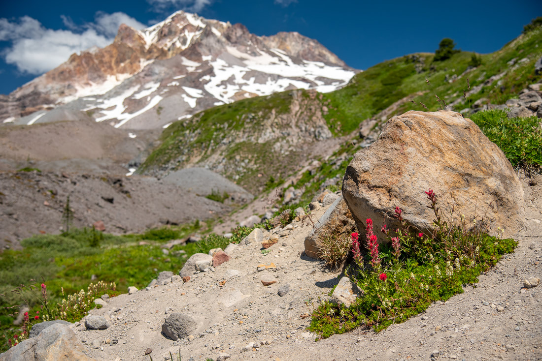
3) Paradise Park
|
|
Closest town: Government Camp
Hike features: Summer wildflowers, mountain views, backcountry camping
Mileage: 12.6 mile lollipop loop w/ 2,600 ft. elevation gain
Difficulty: Difficult
Trail usage: High
Best time to hike this trail for wildflowers: July
About the hike: Paradise Park is one of the most beautiful places in northern Oregon, especially during the month of July when the wildflowers are exploding with color in the high alpine meadows! This hike takes you along the Pacific Crest Trail, across little streams, through wildflower meadows and up to some amazing backcountry camping spots where you can enjoy the mountain views from!
(The information for this hike can be found in the guidebook 'Oregon's Best Views')
4) Mount Howard
Closest town: Joseph
Hike features: Summer wildflowers, mountain views, gondola ride Mileage: 0.5 miles out and back w/ 130 ft. elevation gain OR 2.5 mile loop w/ 400 ft. of elevation gain Difficulty: Easy Trail usage: High Best time to hike this trail for wildflowers: July About the hike: Mount Howard is an 8,255 ft. peak next to Wallowa Lake. The only way to access the many easy and family friendly trails at the top, is to take the Wallowa Lake Tramway. When it was constructed in 1970, it was the longest lift in North America, gaining a total of 3,700 vertical feet. The views from the trails are expansive and extend all the way into Washington and Idaho. This trail system is incredibly easy and family friendly! (Click here for more information and directions) |
|
5) Schneider Cabin
|
|
Closest town: Halfway
Hike features: Summer wildflowers, fire lookout, mountain views, old trapper's cabin, backcountry camping opportunities
Mileage: 7.2 miles out and back w/ 1,480 ft. elevation gain
Difficulty: Moderate
Trail usage: Low
Best time to hike this trail for wildflowers: mid to end July
About the hike: This trail is located at the southern end of the Wallowa Mountain range and it is a very overlooked area when it comes to hiking, and even during the height of the lupine bloom, you will not encounter more than a few people here. This would be an epic spot to backpack into because there is so much to explore like lakes, Cornucopia Peak and more!
(Click here to read more about this hike and to get directions- this post is for members only, you can purchase the seasonal membership for $9.99)
6) Cascade Head
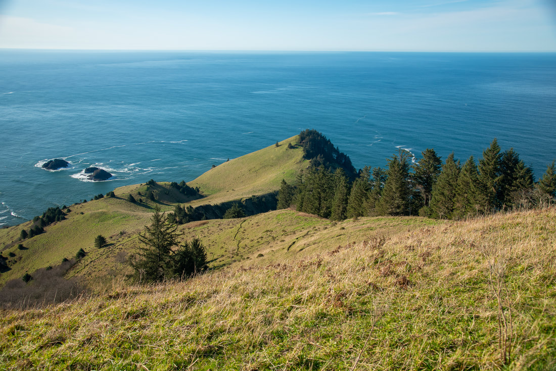
|
|
Closest town: Neskowin
Hike features: Spring wildflowers, ocean views
Mileage: 5 miles round trip w/ 1,200 ft. elevation gain from lower trailhead OR 2 miles round trip w/ 167 ft. elevation gain from upper trailhead
Difficulty: Moderate from lower trailhead, easy from upper trailhead
Trail usage: High on weekends, low on weekdays
Best time to hike this trail for wildflowers: May and June
About the hike: Cascade Head is one of the most popular trails along the northern Oregon coast, and for good reason. The views from this hike are stunning, and there is an abundance of flora and fauna found in this nature conservancy as well.
(Click here for more information and directions)
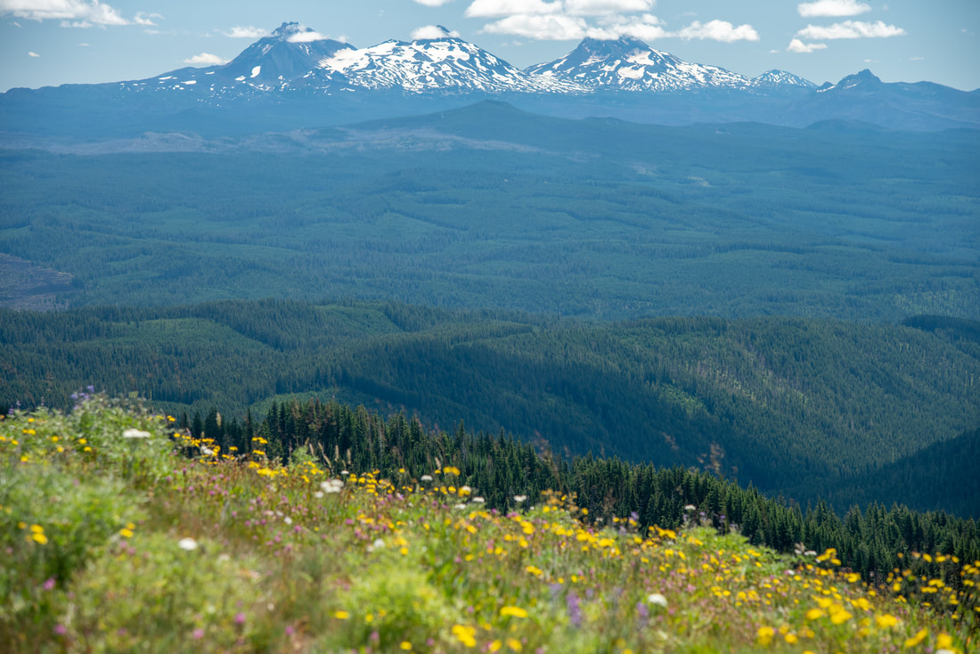
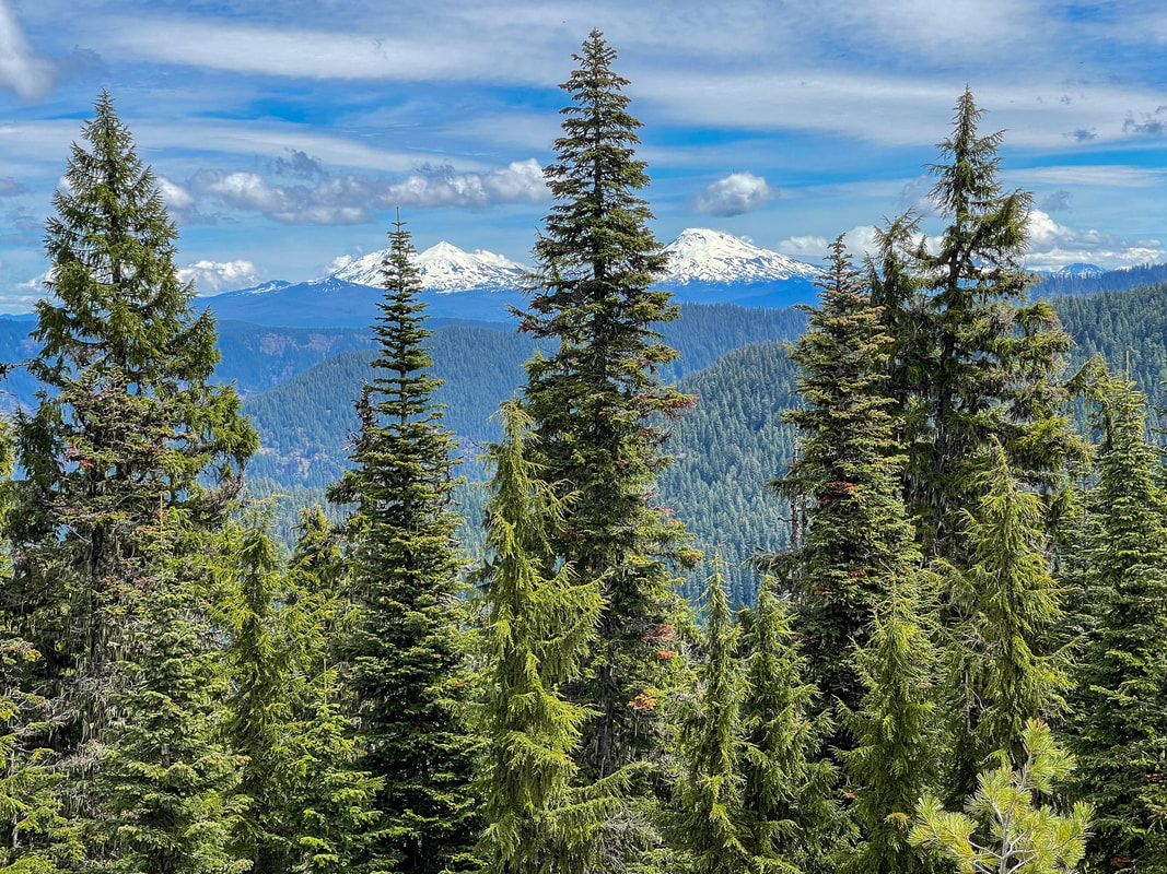
7) Coffin Mountain
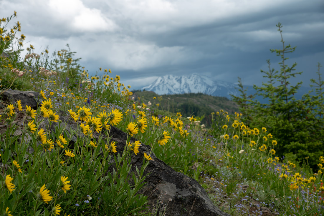
|
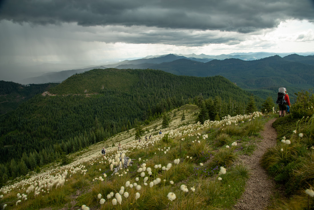
|
Closest town: Sisters
Hike features: Summer wildflowers, mountain views, fire lookout
Mileage: 2.75 miles round trip w/ 1,100 ft. elevation gain
Difficulty: Moderate
Trail usage: High on weekends during wildflower blooms
Best time to hike this trail for wildflowers: mid-June to mid July
About the hike: This area (the old Cascade Crest) is one of the best places for wildflower viewing in July. Coffin Mountain has a spectacular view of Mount Jefferson and the Three Sisters as you make your way up to the fire lookout through massive meadows full of bear grass. From the summit you can also see Detroit Lake to the north and the thousands of acres that were burned in the Lionshead and Beachie Creek fires of 2020.
(Click here for more information and directions)
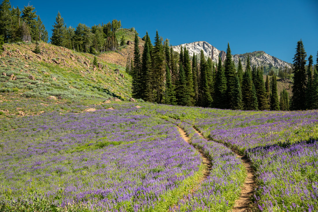
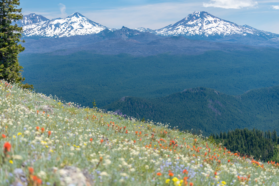
8) Canyon Creek Meadows
|
|
Closest town: Sisters
Hike features: Summer wildflowers, mountain views, lakes, backcountry camping opportunities
Mileage: 8 mile loop with some out and back viewpoints w/ 1,600 ft. elevation gain
Difficulty: Moderate
Trail usage: Medium to high
Best time to hike this trail for wildflowers: mid-July
About the hike: Canyon Creek Meadows is a popular summer and fall hike near Bend and Sisters. It is a moderate loop hike with beautiful views of Three Finger Jack, wildflowers as well as some lakes along the way. This is also one of the inlets for the popular backpacking loop around Three Fingered Jack. The meadows bloom with purple lupine in July and the views of the mountains from the viewpoint saddle are absolutely breathtaking.
(Click here for more information and directions)
9) Steins Pillar
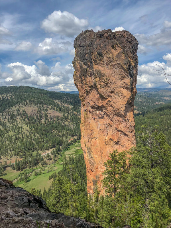
|
Closest town: Prineville
Hike features: Spring wildflowers, beautiful ponderosa pine forest, rock features Mileage: 4 miles round trip w/ 660 ft. elevation gain Difficulty: Easy Trail usage: Medium Best time to hike this trail for wildflowers: mid-May About the hike: This wonderful family friendly trail takes you through stands of stately ponderosa pines and meadows of wildflowers (blooming in late April through mid-May), to Steins Pillar which is a 350 foot tall monolith. You can often see rock climbers scaling this impressive rock. This hike is very family friendly! (Click here for more information and directions) |
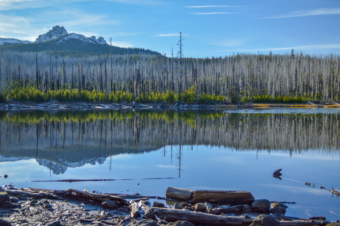
10) Patjens Lakes
|
|
Closest town: Sisters
Hike features: Summer wildflowers, mountain views, lakes, backcountry camping opportunities
Mileage: 6.9 mile loop w/ 632 ft. elevation gain
Difficulty: Moderate
Trail usage: Medium
Best time to hike this trail for wildflowers: early July
About the hike: This trail is incredibly family friendly and is one of the most underrated trails for wildflowers as well as views and easy backpacking! In early July you will see a plethora of wildflowers such as bear grass, fireweed, lupine, scarlet gilia, Washington lilies, penstemon and more. The trail is relatively flat and you will encounter beautiful alpine lakes as well as incredible views of the Cascade mountains along the way.
(Click here for more information and directions)
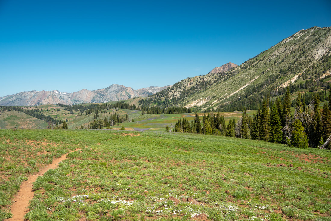
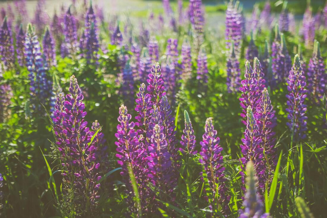
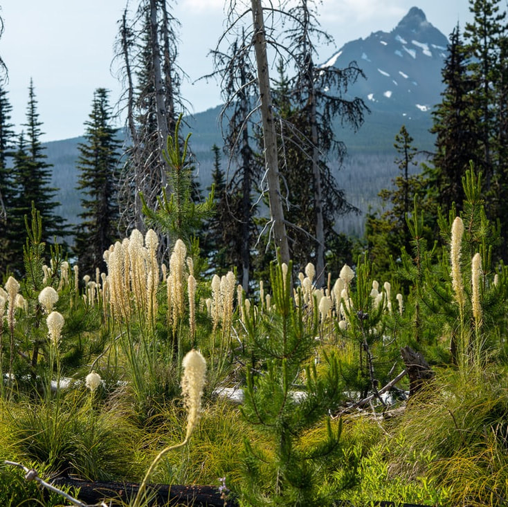
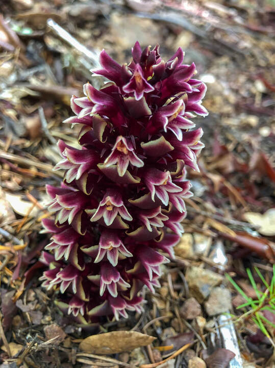
11) Browder Ridge
|
|
Closest town: Sisters
Hike features: Summer wildflowers, mountain views
Mileage: 8.5 miles round trip w/ 2,275 ft. elevation gain
Difficulty: Difficult
Trail usage: Low to medium
Best time to hike this trail for wildflowers: July
About the hike: This hike starts along Gate Creek in a beautiful forest of fir and hemlock trees where you will see unique plants like candysticks as well as the beginning of the wildflower explosion that starts with Washington lilies that prefer the forest shade. As you climb out of the woods through alpine meadows you will see lupine, paintbrush, tiger lilies and so many more. Once you reach the top you will be greeted by views of the Three Sisters, Mount Washington, Three Fingered Jack and Mount Jefferson.
(The information for this hike can be found in the guidebook 'Oregon's Best Views')
12) Horsepasture Mountain
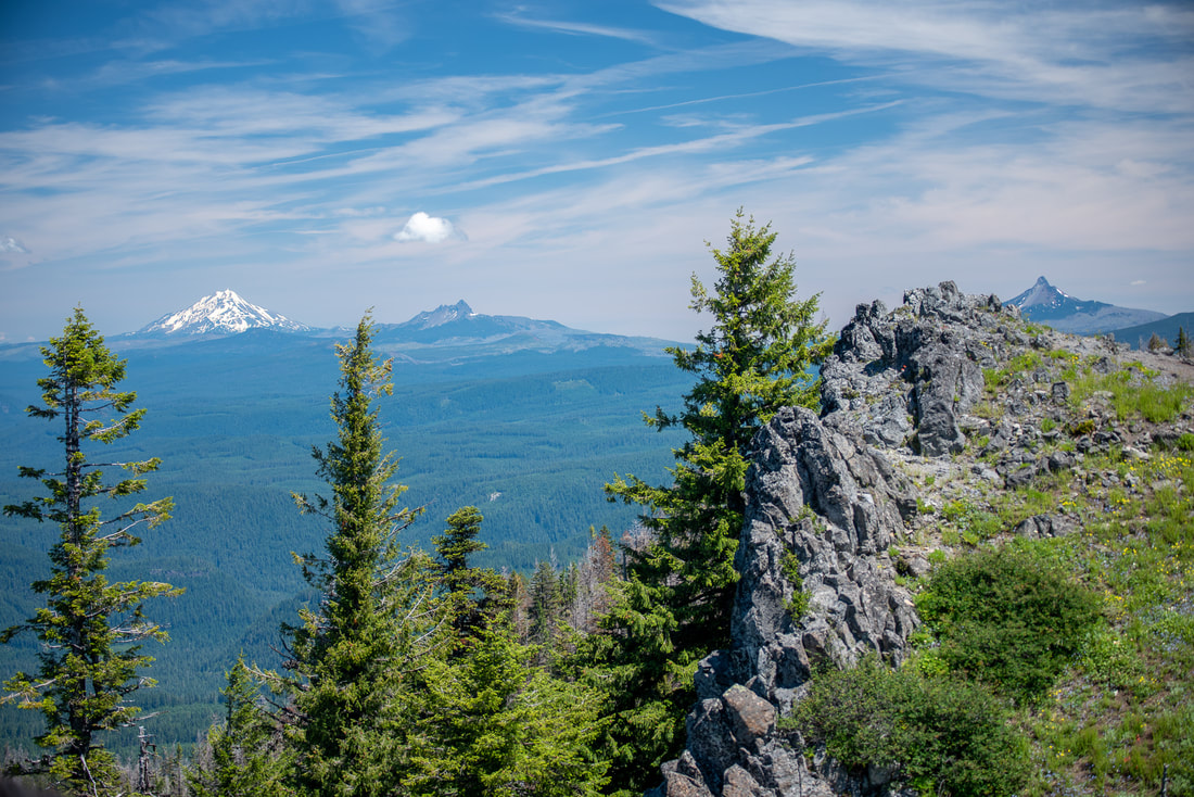
|
|
Closest town: Blue River
Hike features: Summer wildflowers, mountain views, gorgeous forest
Mileage: 2.8 miles round trip w/ 910 ft. elevation gain from the upper trailhead OR 7 miles round trip w/ 2,320 ft. elevation gain from Saddle Trail trailhead
Difficulty: Moderate to difficult
Trail usage: Low to medium
Best time to hike this trail for wildflowers: late June to mid-July
About the hike: This is one of the best lesser-known wildflower hikes! This beautiful trail takes you through a lovely forest and up through lush wildflower meadows dotted with bear grass and California corn lily. The summit of Horsepasture Mountain has meadow slopes that are covered in thousands of wildflowers during the month of July, and the views of the Cascade range from Mount Hood down to Diamond Peak are some of the best you will get in the area!
(Click here for more information and directions)
13) Grasshopper Meadows
|
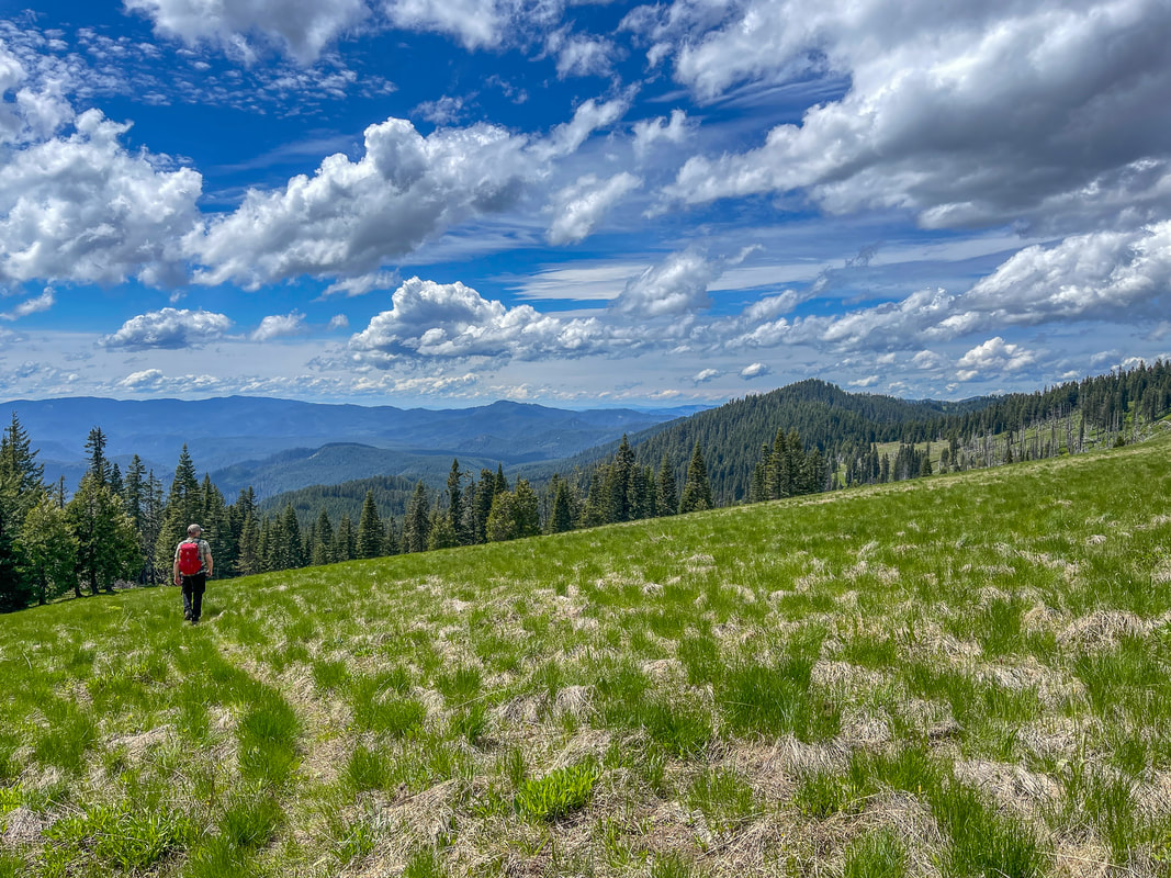
|
Closest town: Westfir
Hike features: Summer wildflowers, mountain views
Mileage: 4.6 miles round trip w/ 850 ft. elevation gain
Difficulty: Easy
Trail usage: Low
Best time to hike this trail for wildflowers: July
About the hike: Grasshopper Ridge is a very underrated short and easy hike through grassy meadows that have blooming wildflowers in July and a plethora of grasshoppers. On clear days you can enjoy epic views of the surrounding hills as well as the Cascade Mountains!
(Click here for more information and directions)
14) Tire Mountain
Closest town: Westfir
Hike features: Summer wildflowers, mountain views, old growth forest Mileage: 8 miles round trip w/ 1,540 ft. elevation gain Difficulty: Moderate Trail usage: Low to medium Best time to hike this trail for wildflowers: early to mid-June About the hike: Tire Mountain has some of the most wildflowers of any hike in the Oregon Cascades. In June you will find over 25 different wildflowers blooming in the forest and the alpine meadows that you hike through. Along the way there are also beautiful Cascade mountain views. This is definitely one of the best wildflower hikes in Oregon and anyone who is into flowers will be in heaven! (Click here for more information and directions) |
|
15) Sweet Creek Falls via Wagon Road Trailhead
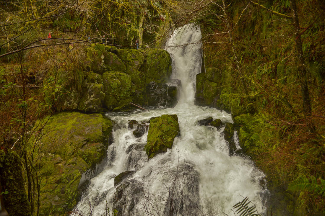
Closest town: Mapleton
Hike features: Spring wildflowers, lush forest, waterfall Mileage: 1.5 miles round trip w/ 400 ft. elevation gain Difficulty: Easy Trail usage: Low Best time to hike this trail for wildflowers: April and early May About the hike: This valley nestled deep in the coast range was settled by the Zarah T. Sweets, a family of early Oregon Trail pioneers in 1879. Parts of the old wagon road have even been incorporated into the Sweet Creek Trail network, so this area is full of history! Along this trail you will see some early spring wildflowers and the waterfall viewpoint is a unique way to experience Sweet Creek Falls. (The information for this hike can be found in the guidebook '52 Hikes for 52 Weeks') |
|
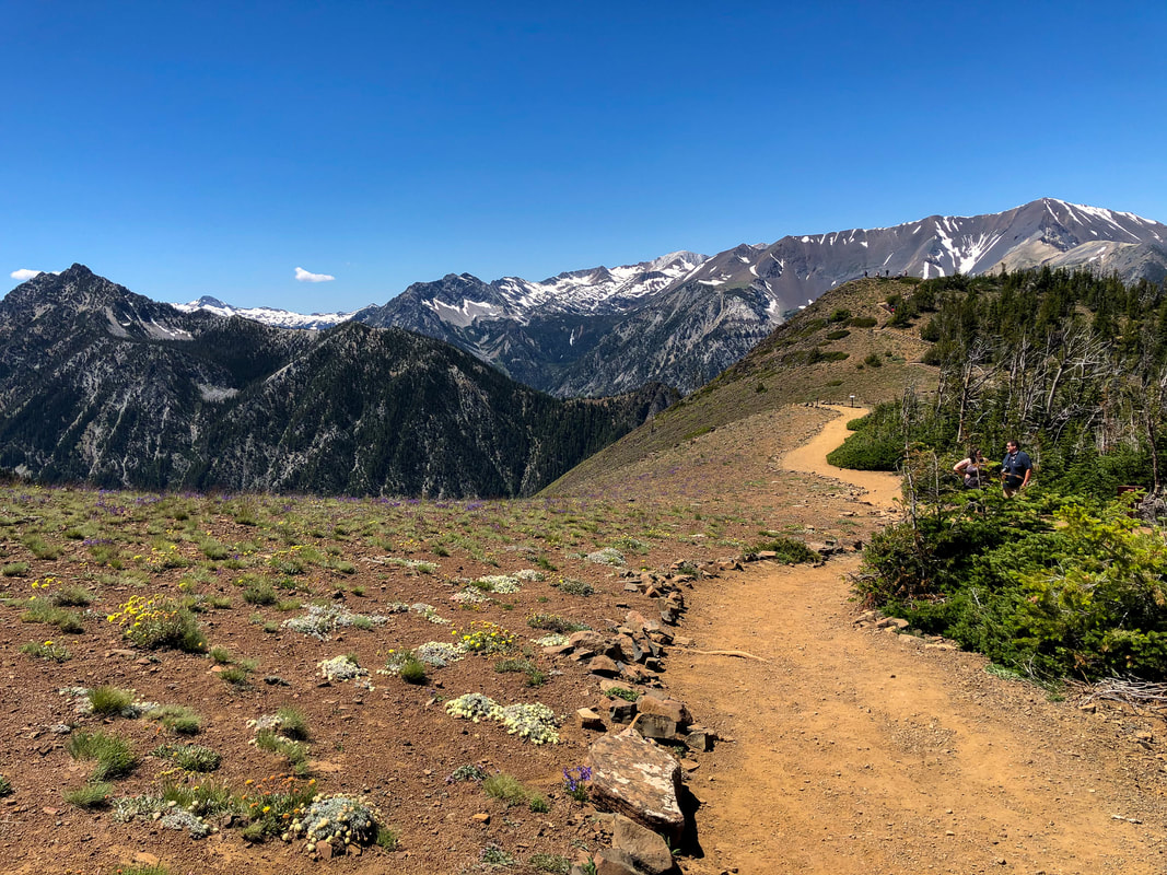
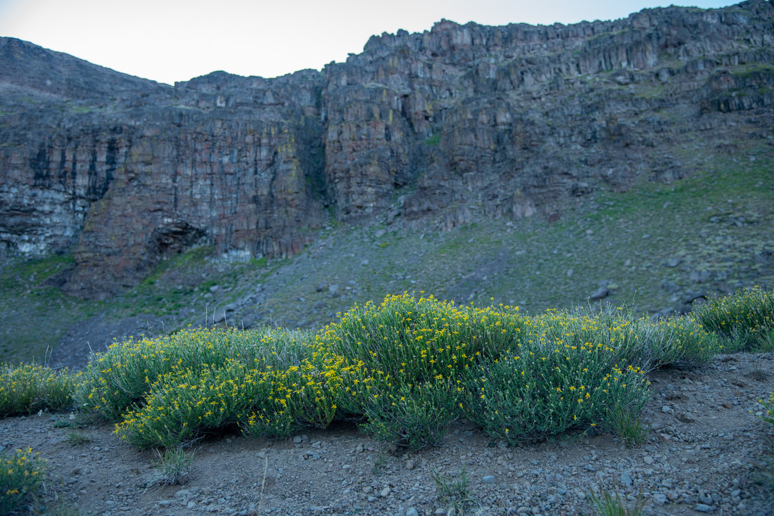
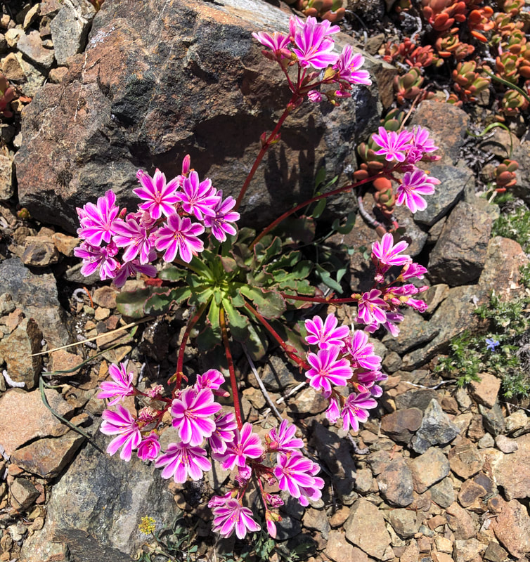
16) Wildhorse Lake
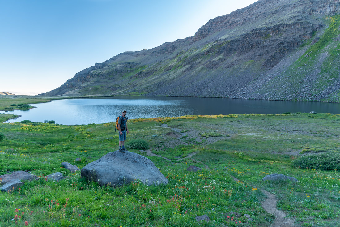
|
|
Closest town: Frenchglen
Hike features: Summer wildflowers, mountain views, lake
Mileage: 2.4 miles round trip w/ 1,160 ft. elevation gain
Difficulty: Moderate
Trail usage: Medium
Best time to hike this trail for wildflowers: August
About the hike: Wildhorse Lake is one of the highest elevation lakes in Oregon, and the lush wildflower meadows surrounding it make it a flower lovers paradise! This is an extremely fragile eco system and while you are allowed to camp by the lake, keep in mind that most of the terrain consists of rocks and there is only one spot with room for about 2-3 tents that is Leave No Trace friendly. You will find some incredibly unique wildflowers along this short trail down to the lake and sometimes there are even wild horses here!
(The information for this hike can be found in the guidebook 'Oregon's Best Views')
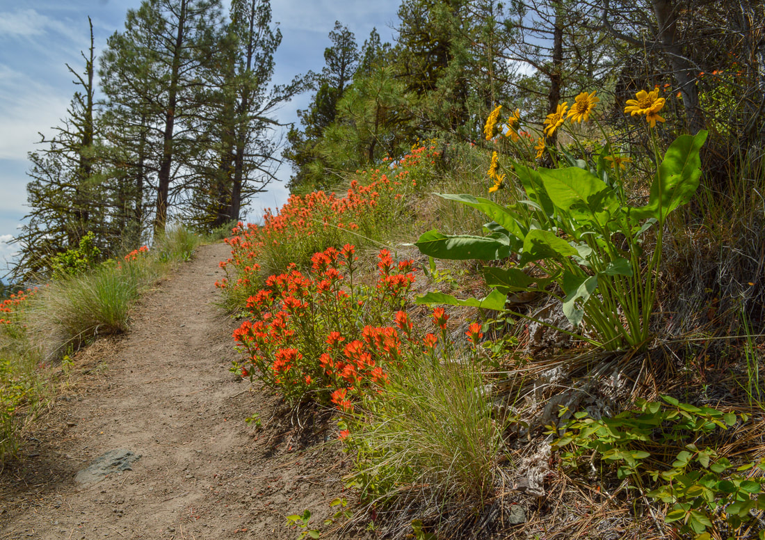
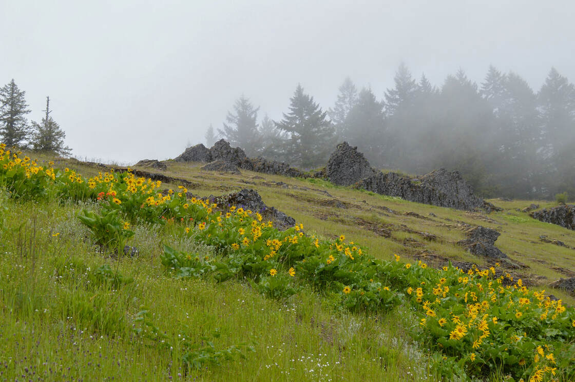
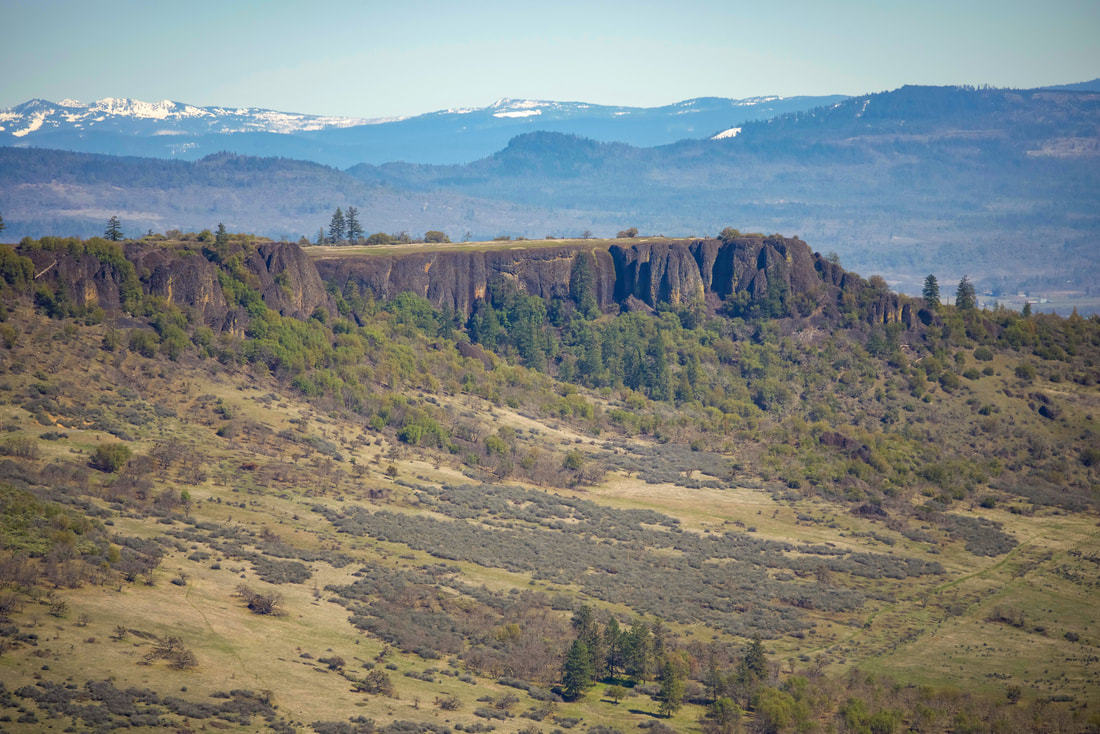
17) Lower Table Rock
|
|
Closest town: Medford/Central-Point
Hike features: Summer wildflowers, mountain views
Mileage: 3.8 miles round trip w/ 855 ft. elevation gain
Difficulty: Easy
Trail usage: High
Best time to hike this trail for wildflowers: April
About the hike: This hike is short but it offers some of the best views and most unique flora in the Medford area. From the top of Lower Table Rock you can see the entire Rogue Valley as well as the Cascade Mountains to the east. In mid-spring you will see an abundance of wildflowers growing here, some that only grow on the Table Rocks.
(Click here for more information and directions)
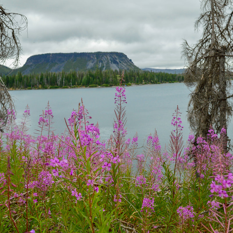
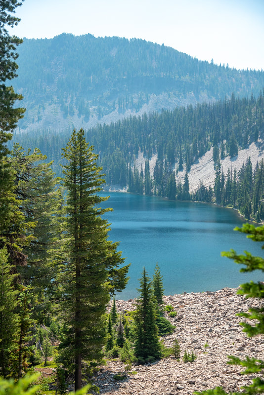
18) Lake Harriett via Varney Creek Trailhead
|
|
Closest town: Klamath Falls
Hike features: Summer wildflowers, mountain views, alpine lakes, backcountry camping opportunities
Mileage: 12.5 miles round trip w/ 1,722 ft. elevation gain
Difficulty: Difficult
Trail usage: Low
Best time to hike this trail for wildflowers: Early to mid-July
About the hike: The Varney Creek Trail leads you through incredible forests and wildflower meadows up to magical blue/green alpine lakes in the heart of the Mountain Lakes Wilderness. This hike is full of solitude, amazing views and you will marvel at all of the wildflowers along the way.
(The information for this hike can be found in the guidebook 'Lakes of the Cascades')
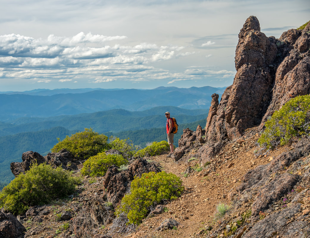
19) Kerby Peak
Closest town: Selma & Cave Junction
Hike features: Late spring wildflowers, mountain views Mileage: 6.6 miles round trip w/ 2,685 ft. elevation gain Difficulty: Difficult Trail usage: Low Best time to hike this trail for wildflowers: End of May through June About the hike: Kerby Peak is a phenomenal hike deep in the remote hills of the Illinois Valley. The amount of unique wildflowers along the trail during the end of May and early June is insane and the views from Mount Jefferson all the way down to Castle Crags will make you want to spend a whole week up there! (The information for this hike can be found in the guidebook 'Oregon's Best Views') |
|
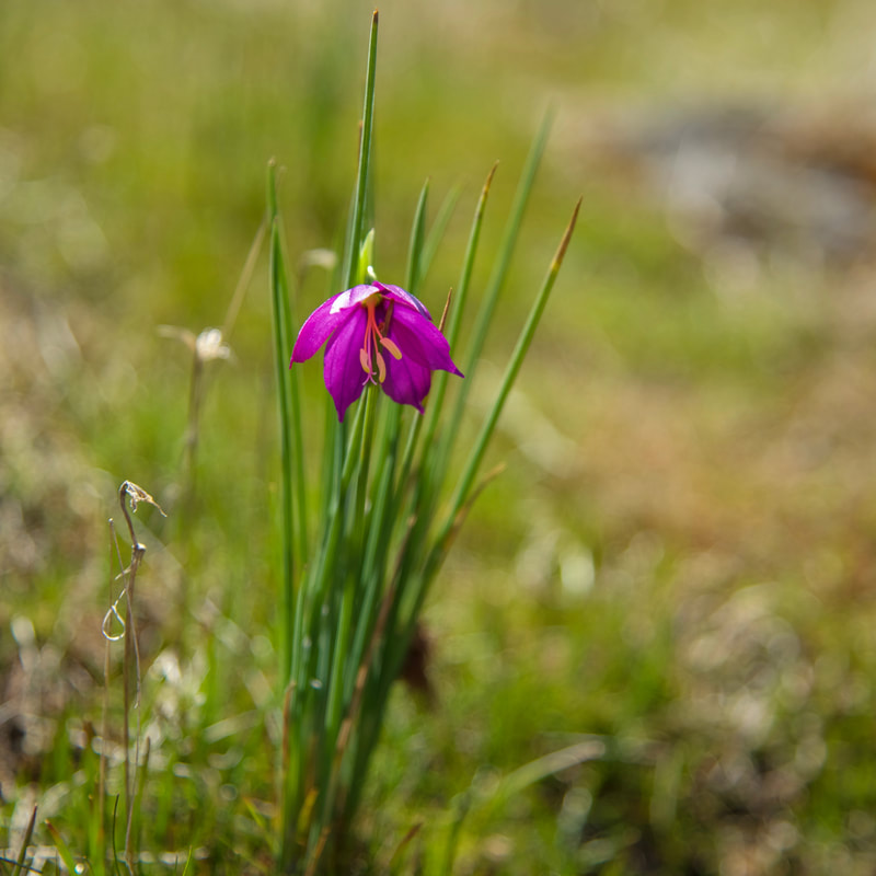
20) Hobart Bluff
|
|
Closest town: Medford/Ashland
Hike features: Late spring wildflowers, mountain views
Mileage: 2.6 miles round trip w/ 390 ft. elevation gain
Difficulty: Easy
Trail usage: Medium to high
Best time to hike this trail for wildflowers: End of May through June
About the hike: This beautiful section of the Pacific Crest Trail leads to an overlook called Hobart Bluff. This easy hike is very family friendly and is the perfect mid-spring excursion for those who want to see epic views and some awesome wildflower displays. A rare wildflower called Blue Dicks can be found along this stretch of trail, a really fun find for wildflower enthusiasts.
(The information for this hike can be found in the guidebook 'Oregon's Best Views')