Waldo Lake Loop
Hike details:
Mileage: 20.5 mile loop w/ 1,830 ft. elevation gain
Approximate hike time: 8 hours 54 minutes w/ an average pace of 2.3 mph
Difficulty: Difficult (only due to mileage, easy terrain)
Trail usage: Medium July through August, low September through November
Highest elevation: 5,784 ft. Lowest elevation: 5,417 ft.
General location: 33 miles east of Oakridge - Willamette National Forest
Accessible: Mid-June to the end of November
(Best time to go is mid-August for prime huckleberries and through November for minimal people. Avoid the months of June and July at all cost due to horrendous mosquitoes).
Permits required: Northwest Forest Pass for parking
Pit toilet at trailhead: Yes
Trail allows: Dogs, horses, mountain biking, camping
Possible dangers: There is a short section of trail that is rocky and narrow with a bit of a drop off.
|
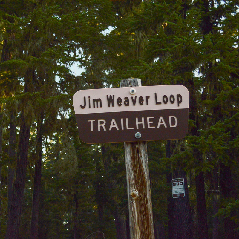
Description:The Waldo Lake Loop is actually called the Jim Weaver Loop Trail #3590 and this is a wonderful trail that goes around the entirety of Waldo Lake. Most people make this loop into a one night backpacking trip as there are a few places where you can easily backcountry camp around the lake.
You can start the loop from Shadow Bay Day Use Area or up at the day use area near North Waldo Lake Campground. The write up described here starts from Shadow Bay because the 5 miles from Shadow Bay to North Waldo Lake Campground are entirely through the woods, which is better done at the beginning of your hike, rather than at the end when you are tired. After you've hiked 15 miles it is nice to have some views to look at while hiking the last 5 grueling miles of a 20 mile trek, especially if you choose to do this loop as a day hike. |
|
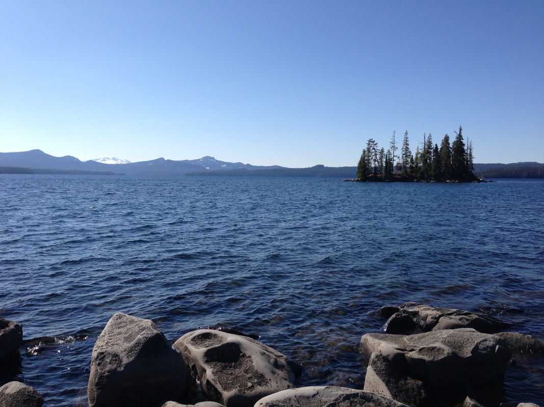
(Diamond Peak across Waldo Lake from the shoreline trail)
|
|
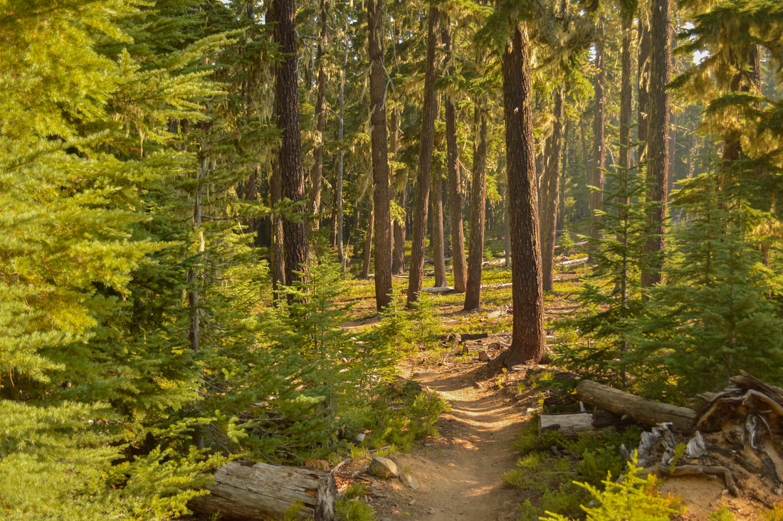
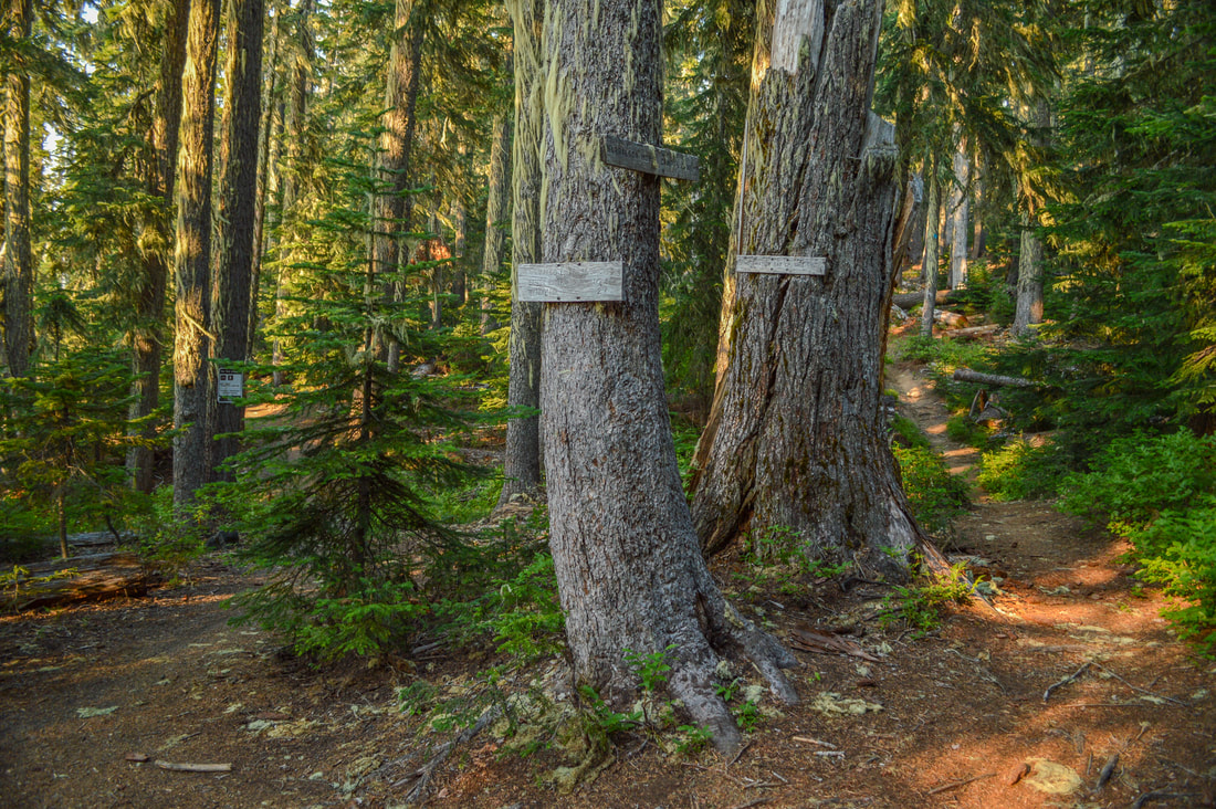
From Shadow Bay Day Use Area, find the lakeshore trail and head to the east for 0.45 miles until you come to the Jim Weaver Loop Trail #3590. Here you will take a left and head north. The first 5 miles of your hike are through a beautiful hemlock forest and early in the morning when the sun is coming through the mossy trees, birds will be chirping and the trail is fairly level, making this the perfect warm-up. After 5.5 miles you will come to a four-way trail split. Trail #3593 to the right goes to Charlton Lake, the Harralson Trail #4364 goes straight ahead to a Horse Camp. You will continue on the Jim Weaver Loop Trail that goes slightly to the left, following signs to North Waldo Campground.
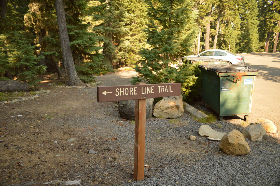
Once you get to the campground you will look for a sign to the Waldo Shoreline Trail #3590.2. This trail goes parallel with the Jim Waver Loop Trail for about a mile, but it goes along the shore of Waldo Lake, whereas the Jim Weaver Trail just takes you through the woods. You would opt to take the Jim Weaver Trail if you were on horseback or a mountain bike to avoid the shoreline trail which tends to be crowded in the summertime. The shoreline trail offers beautiful views across the lake at Diamond Peak to the south. Waldo Lake is the second largest natural non-alkali lake in Oregon with just under 10 square miles of water surface and a maximum depth of 420 feet. In this lake you will find brook trout and kokanee salmon. |
|
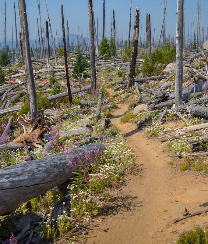
Once you get back on the official Jim Weaver Loop Trail, you will enter an old burn area. This exposed area only lasts for about 3 miles. If you are backpacking and would like to extend the hike by 3.3 miles, you will keep your eyes out in the burn section for a wilderness sign on the right leading to the Rigdon Lakes Loop. This is a lovely little loop taking you to Upper and Lower Rigdon Lakes, Lake Kiwa and past Rigdon Butte. If you are not doing the Rigdon Lakes side loop trail, continue through the burn area, where you will see a few inlets and peninsulas, where there are some prime primitive camping spots.
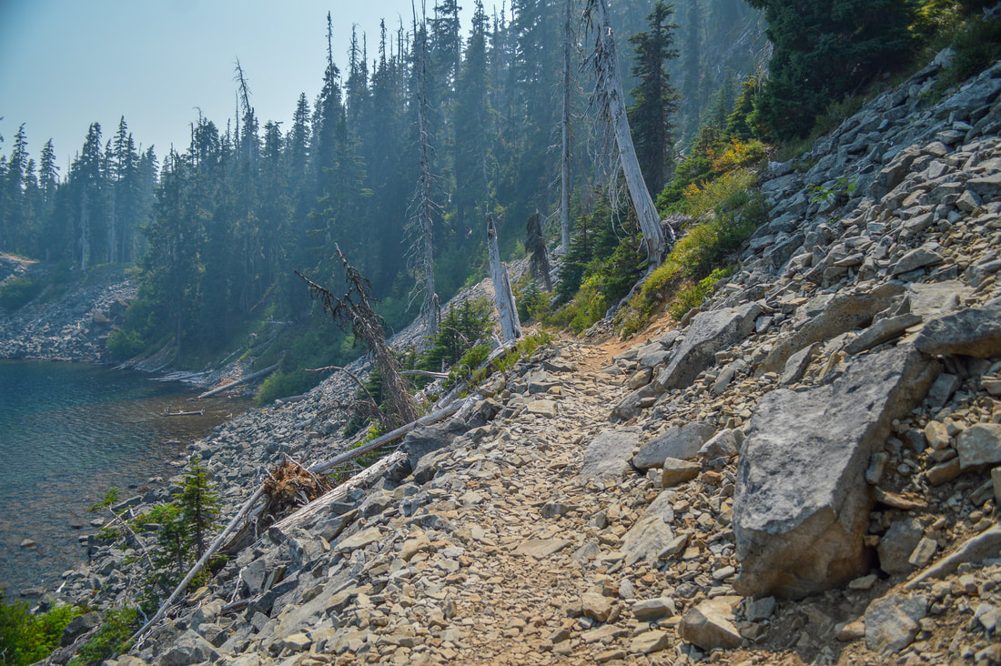
(rocky section of the trail)
|
|
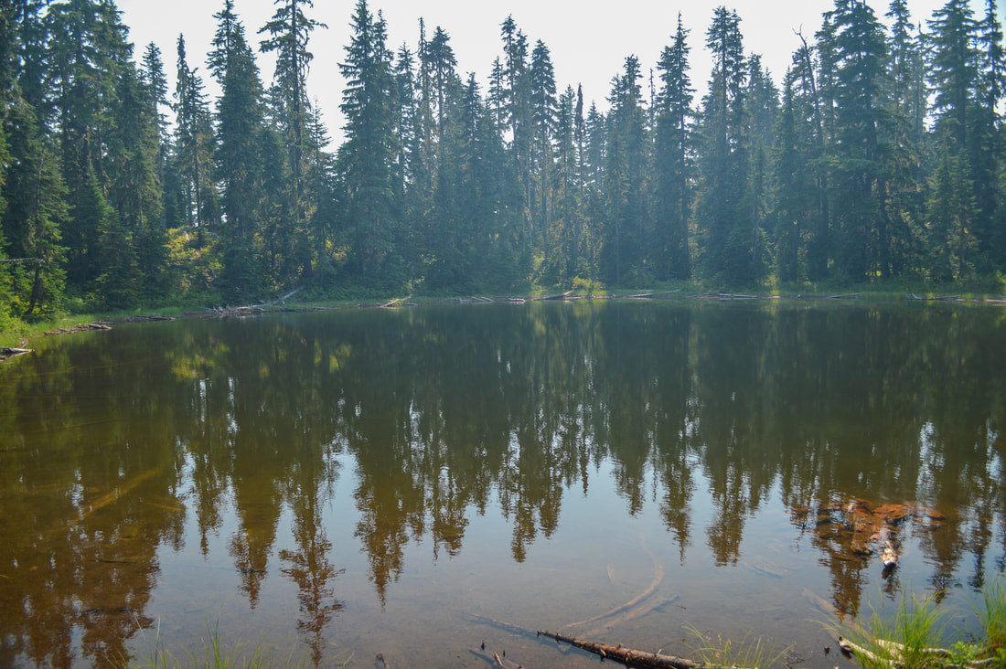
(one of the small ponds along the trail)
|
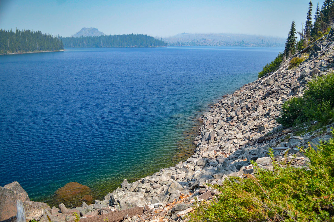
After a total of 3.8 miles from North Waldo Lake Campground you will come to the headwaters of the North Fork Middle Fork Willamette River and you will cross a bridge. There is a great camping spot here as well. This makes for a nice spot to have lunch since you are almost halfway through your hike at this point. When you continue on, the trail hugs the shoreline for a bit and becomes very rocky. This is the only section of trail where the terrain is not extremely smooth and easy, and there is a 20 foot drop off on one side. Enjoy these views across the lake though, because shortly after this, the trail heads into the woods for many miles. Once the trail is in the woods, you don't see much else for about 6.5 miles. You will pass a few ponds along the way as well as Elbow Lake. If you are hiking in early to mid-August, you will want to stop and snack on the abundant huckleberry bushes that line the trail.
|
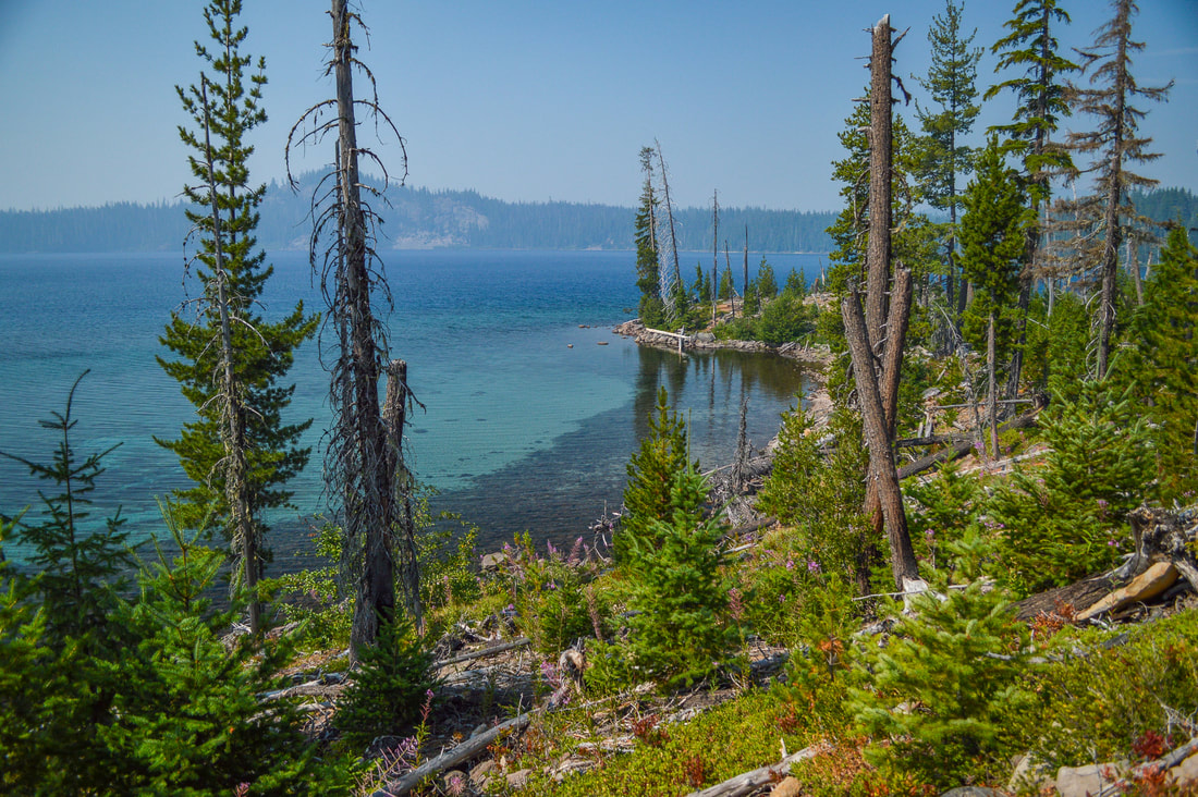
(Klovdahl Bay)
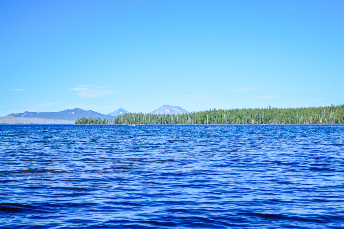
7 miles after the North Fork Middle Fork Willamette River headwaters you will come to a place called Klovdahl Bay. This is where In 1912 an engineer by the name of Simon Klovdahl decided it could be a good idea to use the water for hydroelectric power and irrigation, so he built a tunnel from Waldo Lake to the headwaters of Black Creek. His project ended up not working, and therefore abandoned. You can now still see remnants of the tunnel coming up out of the waters of Waldo Lake. Within the next 2 miles you will see a few spots across Waldo Lake where you can see the Three Sisters to the north.
(Three Sisters across Waldo Lake)
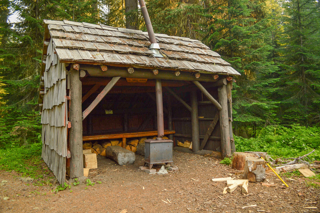
(South Waldo Shelter)
|
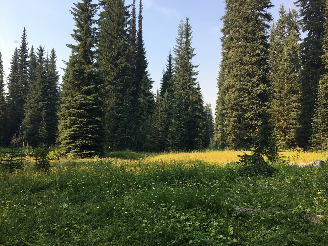
(wildflower meadows in front of South Waldo Shelter)
|
Right after a trail junction with the South Waldo Trail #3586 (another nice side trip you could add on), you will come across the South Waldo Shelter to your left. This shelter has a picnic table outside, a wood stove and benches inside, and a great place to set up tents nearby. Looking out of the shelter you will see a beautiful meadow that is filled with wildflowers in July. This is also a good place to sit and take a break for a little while before hiking the last stretch back to your car. After the shelter you will continue down the trail which now hugs the lake shore again, for 1 mile before coming to that first junction you saw at the beginning of your trip. Take a left here and hike the 0.45 miles back to the car.
The Jim Weaver Loop Trail is really very easy and makes for a great first time backpacking trip. The trail is mostly level, gaining only 1,680 feet of elevation in the entire 20.5 miles, and the terrain is mostly soft dirt. Keep in mind, during the summer this is a popular mountain bike trail, so you will likely see some bikes during your hike. Pro tip: The entire Waldo Lake area is NOT recommended from mid-June to the end of July due to the notoriously horrendous mosquitoes. If you come here during this time you will most likely find the area deserted, and once you step out of your car you will know why.
Directions:
From Oakridge
- Drive on OR-58 E for a total of 23.4 miles, then turn left onto NF-5897 at a sign for Waldo Lake. Drive on this road for 6.7 miles, then turn left onto NF-5897 at a sign for Shadow Bay Campground/Boatramp and stay on this road for 2.1 miles to the boat ramp/day use area. (Total of 33 miles)
- Drive on US-97 S for a total of 46.9 miles, then turn right onto Crescent Cutoff Rd. for 12 miles. At the stop sign turn right onto OR-58 W for 14 miles, then turn right onto NF-5897 at a sign for Waldo Lake. Drive on this road for 6.7 miles, then turn left onto NF-5897 at a sign for Shadow Bay Campground/Boatramp and stay on this road for 2.1 miles to the boat ramp/day use area. (Total of 82 miles)
- Take OR-62 E towards Crater Lake for 49.5 miles then take a slight left onto OR-230 N for 23.8 miles. Near Diamond Lake turn right onto OR-138 east for 17.7 miles until it T’s into highway 97. Turn left onto US-97 N for 17.8 miles then use the left lane to take the OR-58 W exit toward Eugene. Continue on OR-58 for 27.1 miles, then turn right onto NF-5897 at a sign for Waldo Lake. Drive on this road for 6.7 miles, then turn left onto NF-5897 at a sign for Shadow Bay Campground/Boatramp and stay on this road for 2.1 miles to the boat ramp/day use area. (Total of 152 miles)
- Total of 136 miles via Oakridge.
- Total of 180 miles via Oakridge.
|
To get a more in-depth and personal view of this hike, watch the YouTube video.
|
*All pictures are taken by Franziska Weinheimer
*Disclaimer: The trail descriptions, mileage, GPS tracks and difficulty ratings depicted on this website are never 100% accurate. Always hike at your own risk, using your own knowledge, equipment and common sense.
Franziska Weinheimer/Hike Oregon are not responsible if you or anyone in your party gets injured or lost while attempting one of these or any other hikes. |