Coyote Wall
Hike details:
Mileage: 3.5 mile loop w/ 825 ft. elevation gain
5.4 mile lollipop loop w/ 1,550 ft. elevation gain
Approximate hike time: 1 hour 30 minutes w/ an average pace of 2.3 mph (for the 3.5 mile loop)
2 hours 20 minutes w/ an average pace of 2.3 mph (for the 5.4 mile loop)
Difficulty: Easy to moderate
Trail usage: High on weekends, low to medium on weekdays
Highest elevation: 1,660 ft. Lowest elevation: 100 ft.
General location: 70 miles east of Portland - Gifford Pinchot National Forest
Accessible: March through December
(Best time to go is in mid-April and May for prime wildflower bloom).
Permits required: N/A
Pit toilet at trailhead: Yes
Trail allows: Dogs must be on leash Dec. 1 - Jun. 30, mountain bikes
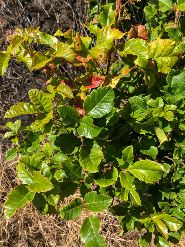
Possible dangers: Lots of poison oak, rattlesnakes
5.4 mile lollipop loop w/ 1,550 ft. elevation gain
Approximate hike time: 1 hour 30 minutes w/ an average pace of 2.3 mph (for the 3.5 mile loop)
2 hours 20 minutes w/ an average pace of 2.3 mph (for the 5.4 mile loop)
Difficulty: Easy to moderate
Trail usage: High on weekends, low to medium on weekdays
Highest elevation: 1,660 ft. Lowest elevation: 100 ft.
General location: 70 miles east of Portland - Gifford Pinchot National Forest
Accessible: March through December
(Best time to go is in mid-April and May for prime wildflower bloom).
Permits required: N/A
Pit toilet at trailhead: Yes
Trail allows: Dogs must be on leash Dec. 1 - Jun. 30, mountain bikes
Possible dangers: Lots of poison oak, rattlesnakes
|
|
Description:
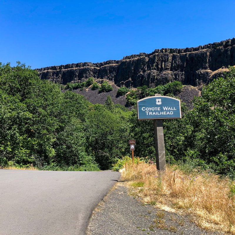
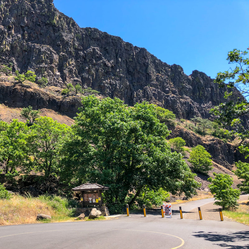
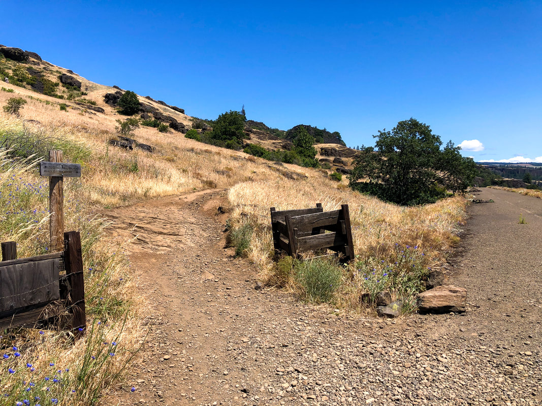
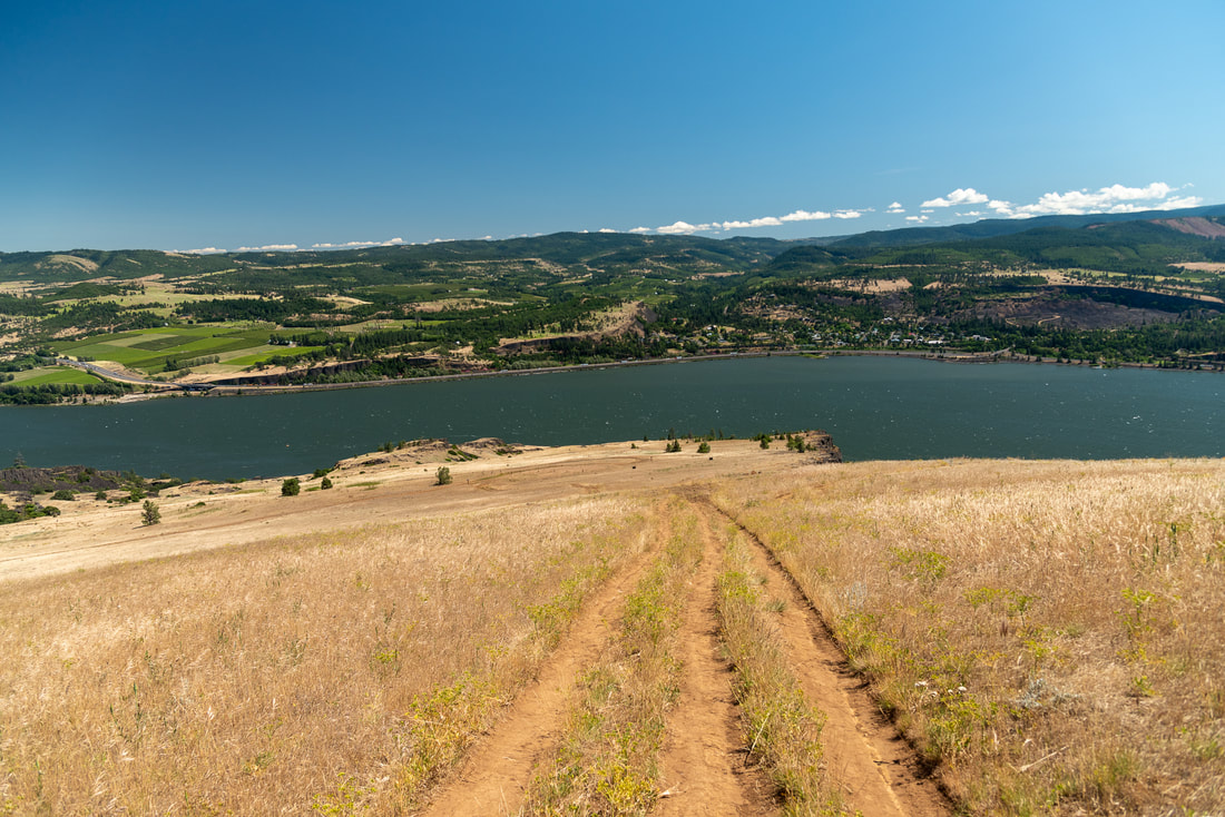
Coyote Wall is a popular spring-time hike located on the Washington side of the Columbia River Gorge. The Coyote Wall area provides a network of different trails from a very easy paved family stroll, to a more rigorous hike or mountain bike ride. The trail starts off along Old Ranch Road which is paved and goes between Locke Lake and Coyote Wall. Rocks have tumbled down into the pathway from the rock walls above. Watch out for more rocks coming down, especially during the early mornings as the freeze/thaw cycle is what makes the rocks crumble and break off.
|
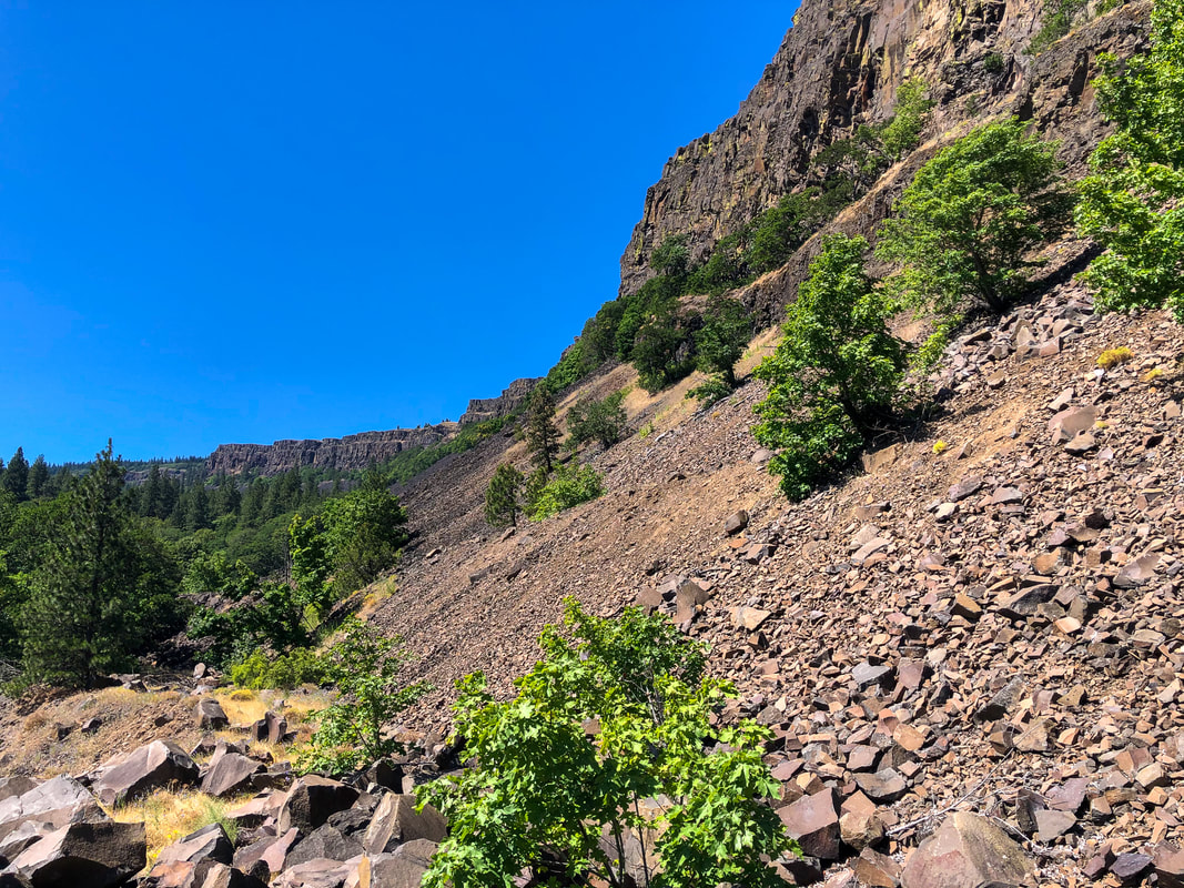
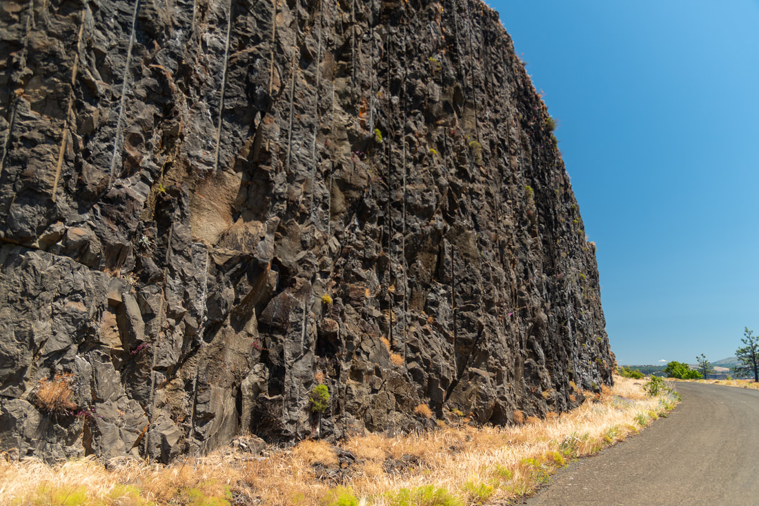
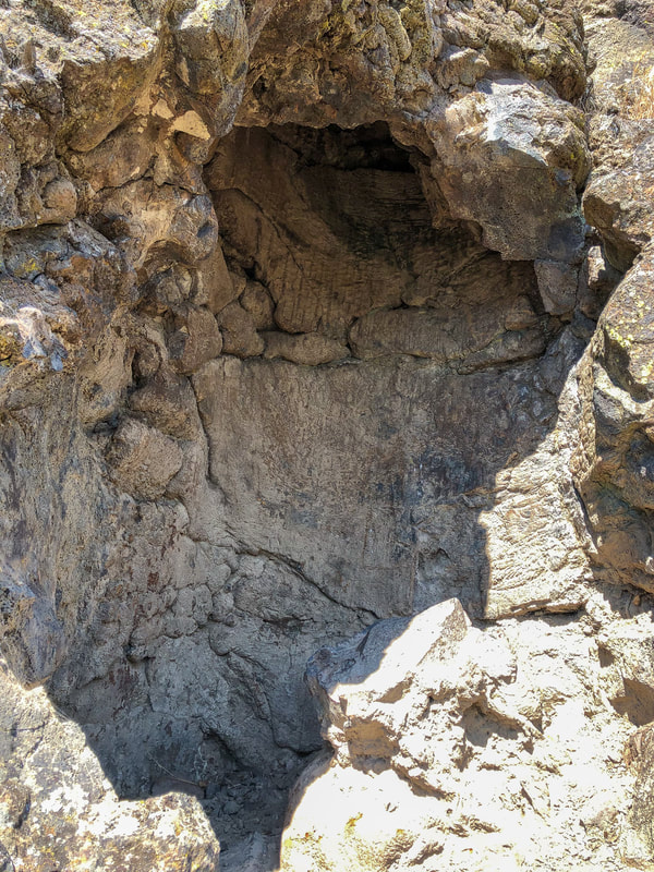
About 0.25 miles into the hike you will see a tree mold in the rock wall on your left. You can see where lava formed around a tree that then decayed and left its mark in the hardened lava rock. The rock wall in this area (Coyote Wall) was formed over 10,000 years ago when Ice Age melt from Montana flooded into the Columbia Gorge and backed up there. This stripped the area to bedrock and left these unique rock formations.
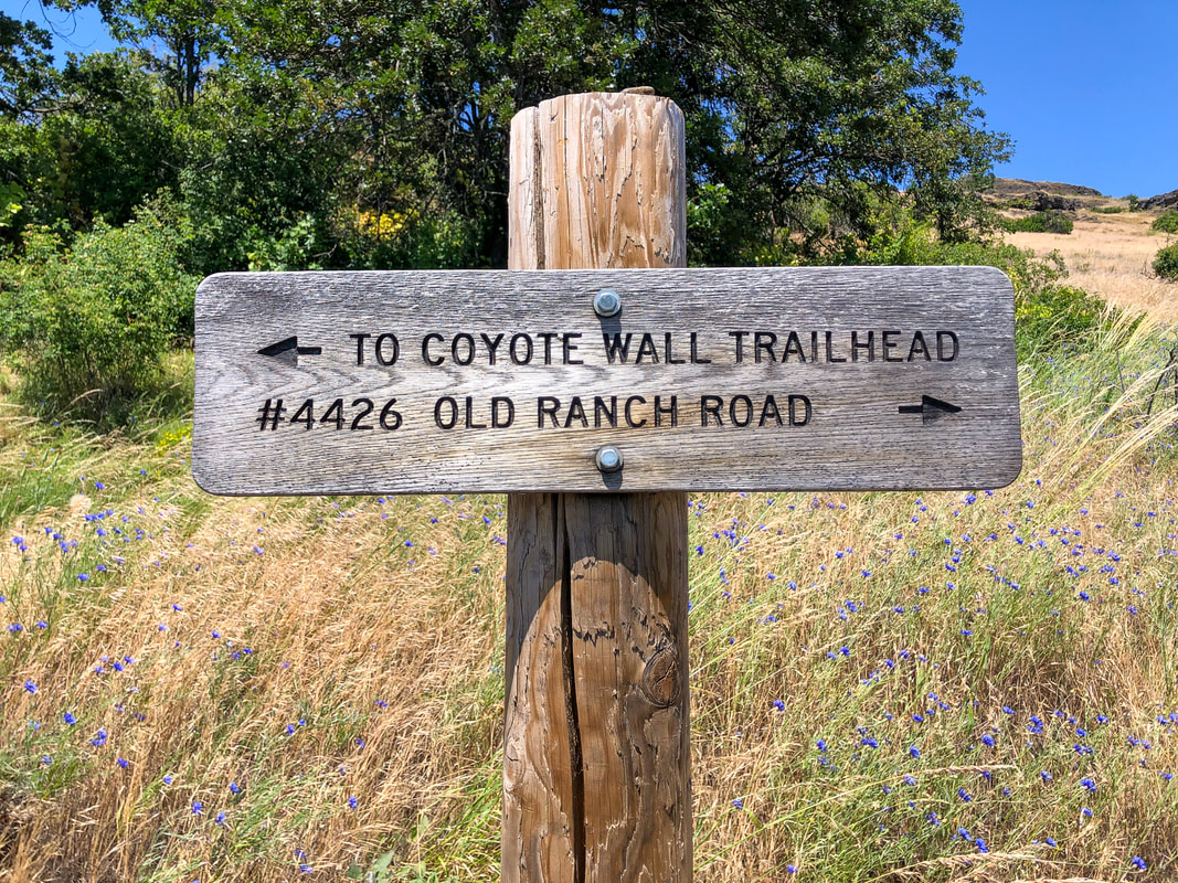
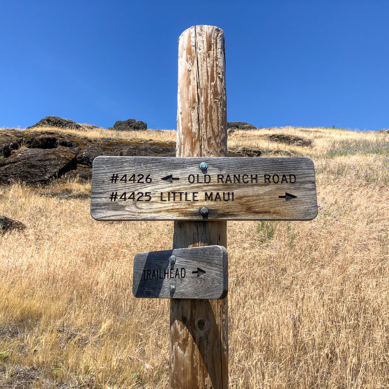
At the 0.47 mile mark you will see a trail that heads uphill and away from the water and the Old Ranch Road that you have been on. Shortly after getting onto this trail you will see another sign. |
|
|
|
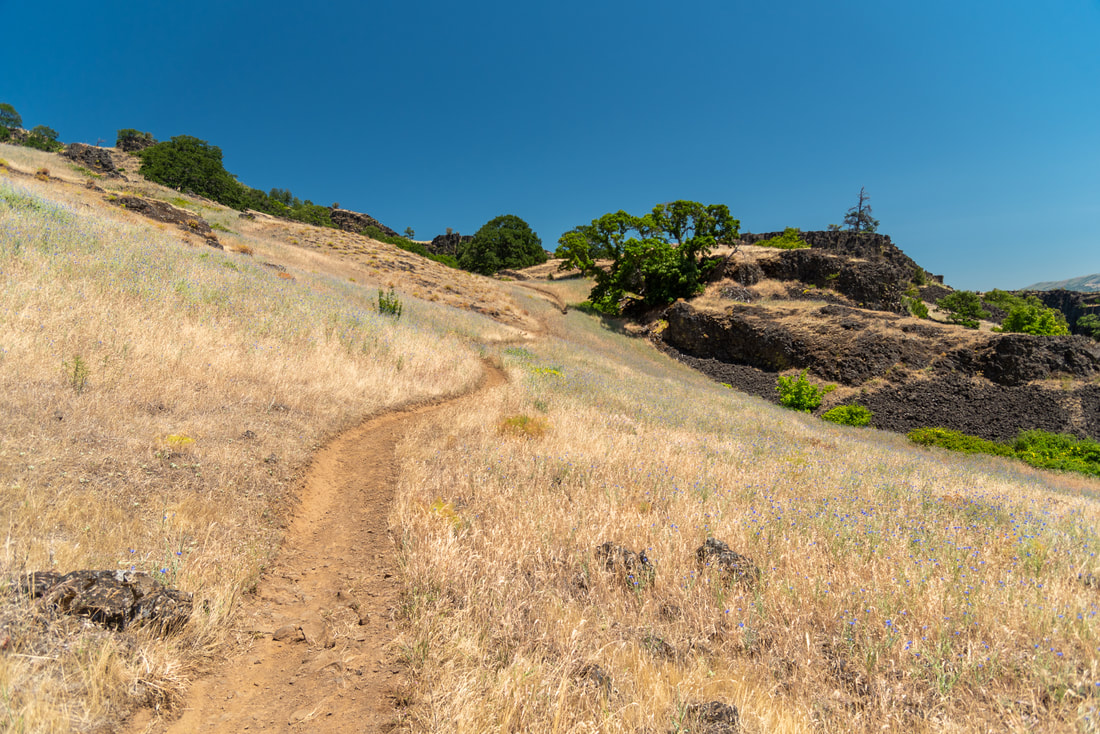
Follow the Little Maui Trail for about 1.5 miles as it zigzags uphill through rocks and creek beds (which are generally dry by late May/early June). In the springtime these hillsides are lush and green and covered in purple Lupin and yellow Balsamroot flowers. As you get closer to summer, the landscape turns dry and brown and the only flowers that remain through June are blue cornflowers, harvest brodiaea, Richard's penstemon and hairy goldaster. You will also see very large bushes of poison oak!
|
|
|
|
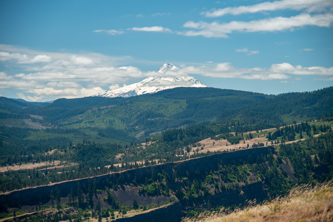
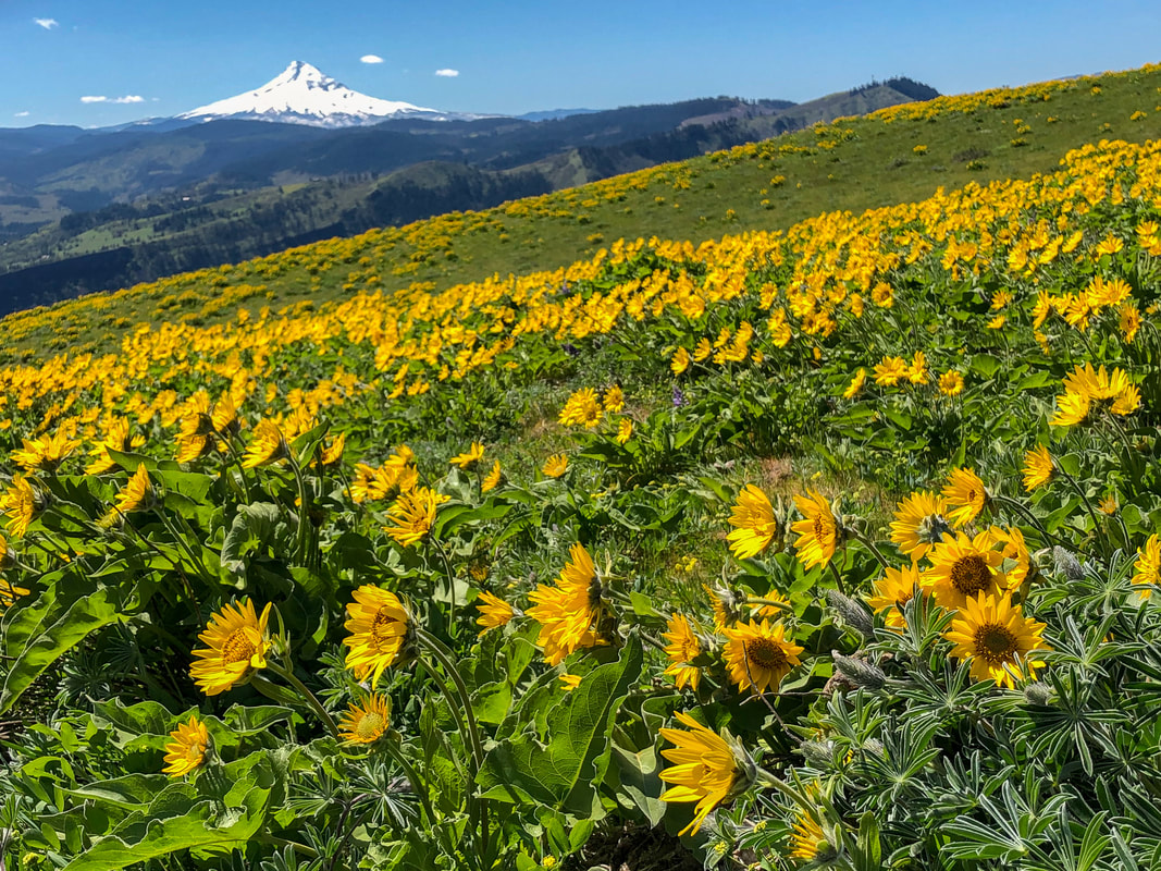
(Mount Hood to the south)
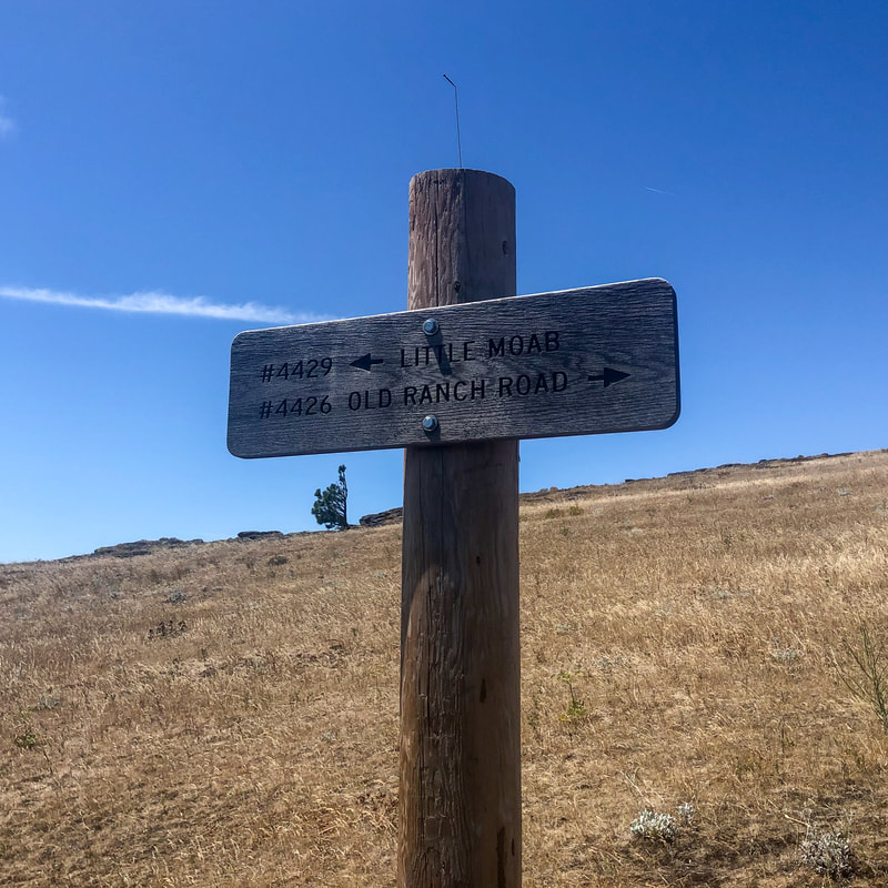
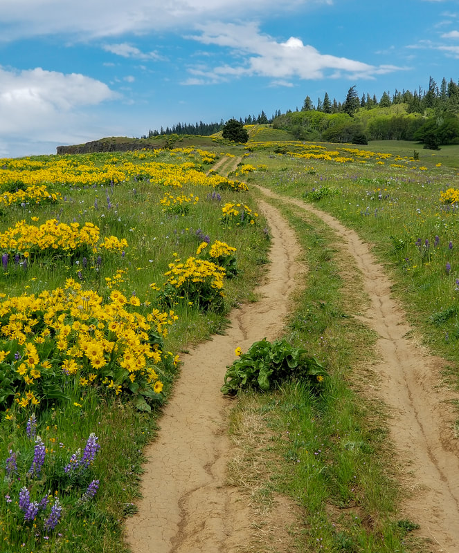
At the 2 mile mark, you can choose if you want to keep the hike short and complete the loop now (3.5 miles total), or if you want to continue on a little further up the Coyote Wall (for a 5.4 mile hike). If you decide to keep going, continue right onto the Coyote Wall Trail. This is where the landscape opens up and you can see Mt. Hood off in the distance to the south, and in mid-April and through May these fields are covered in amazing bright yellow Balsamroot flowers! It is no wonder this area draws folks from all over the country who want to witness this very short wildflower season.
(Balsamroot flowers in May - photo taken by Philip Barish)
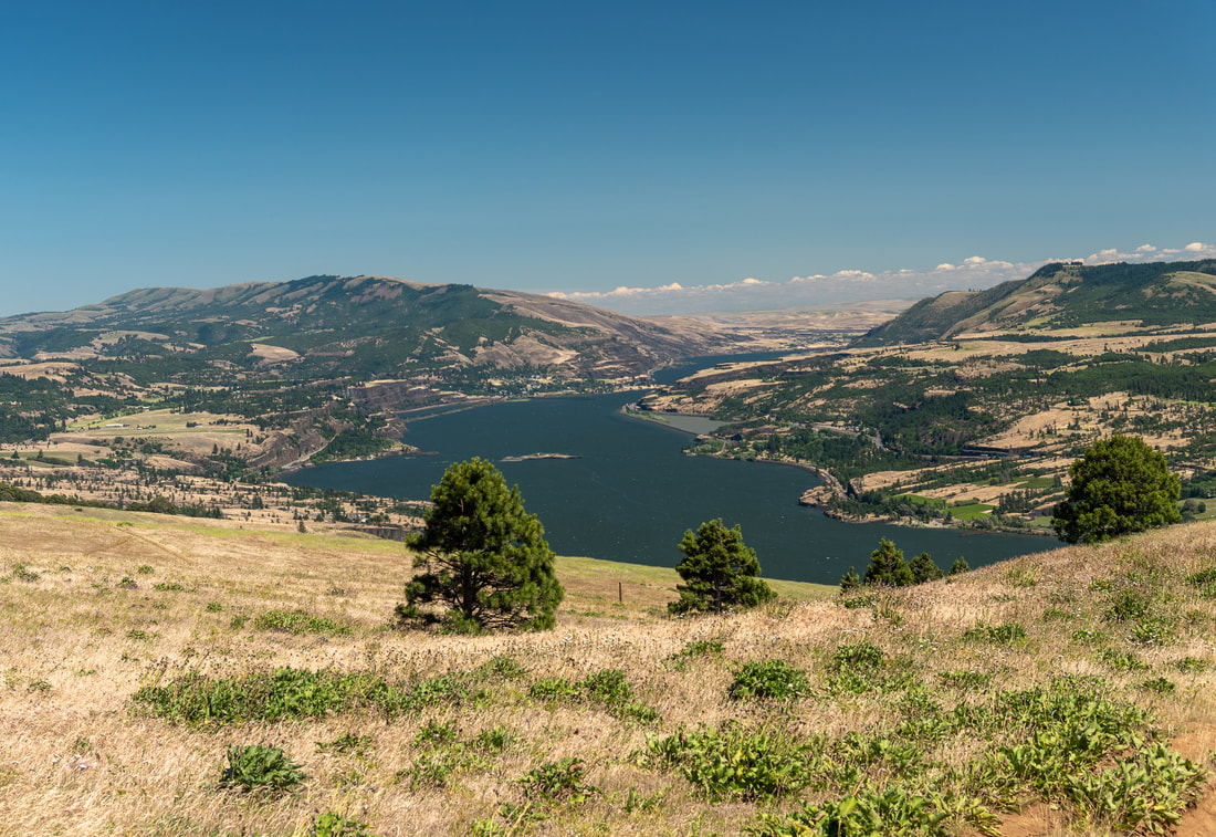
(view of the Columbia River to the east)
(continuation of the Coyote Wall Trail that once led to a long loop trail)
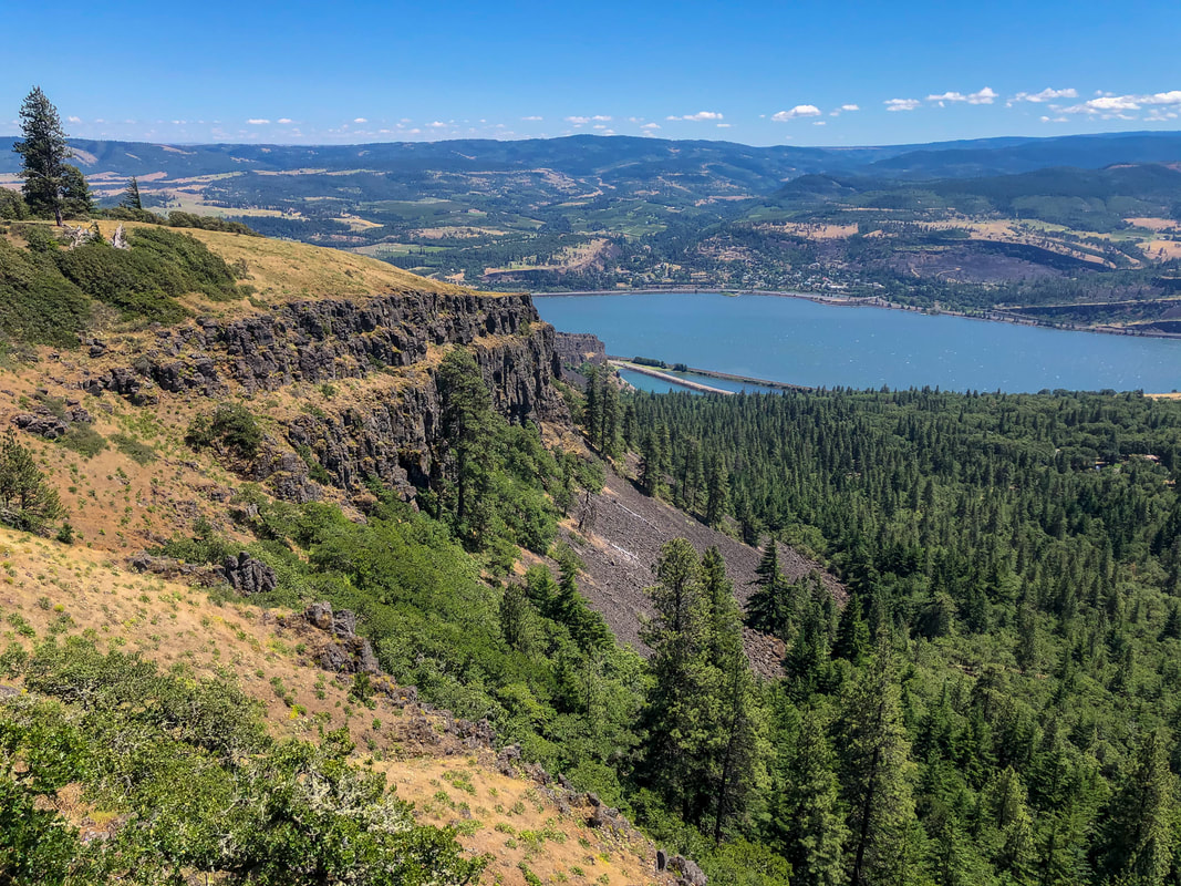
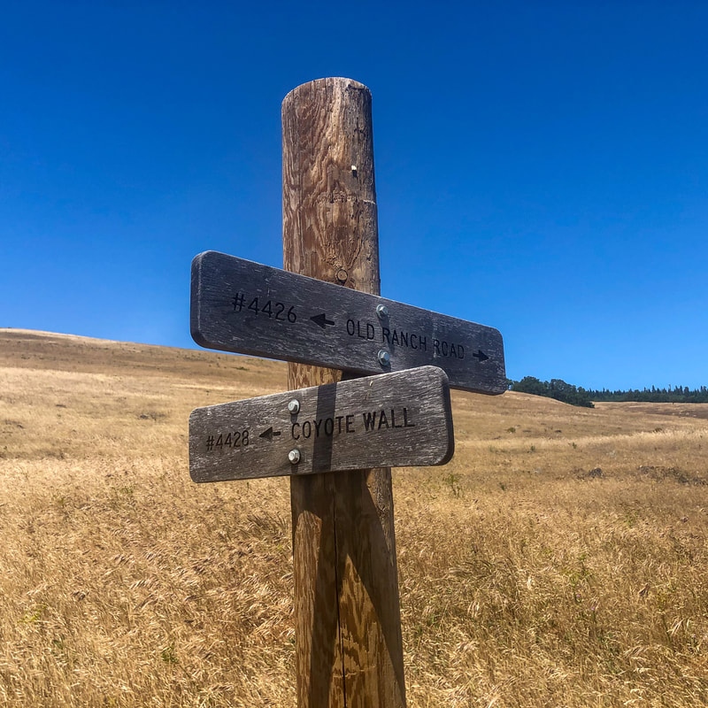
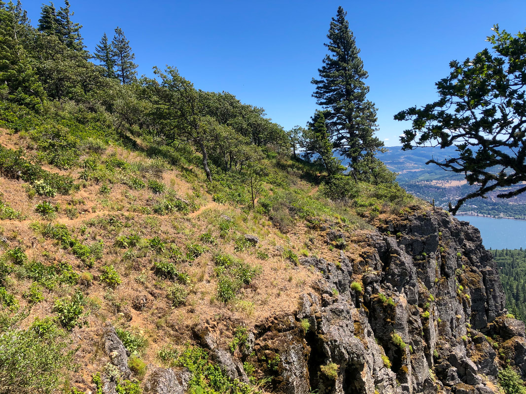
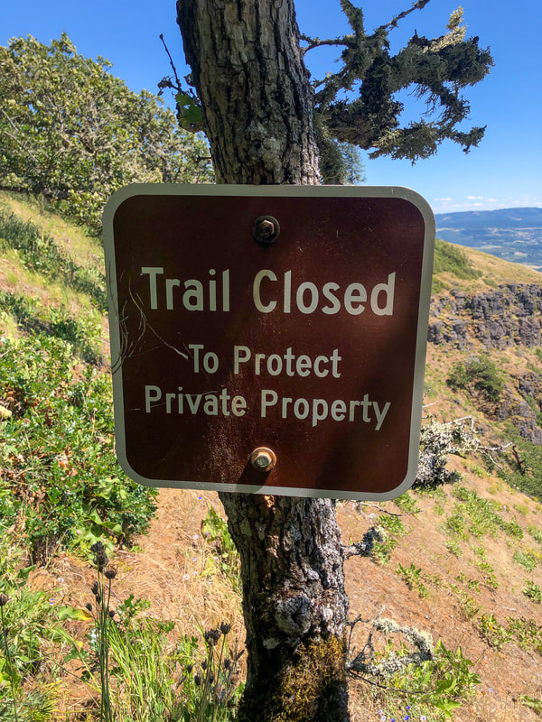
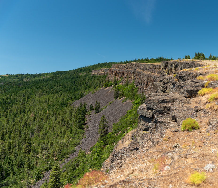
As you continue on the Coyote Wall Trail you will have great views of the wall itself from above, as well as the Gorge and Mount Hood. After exactly 1 mile you will come to a trail junction and this is where you can turn around. The Coyote Wall Trail technically does continue, however it is very overgrown from here on out and there is a lot of poison oak that you cannot avoid. You do get some nice views of Coyote Wall from the other side, but the trail also gets very narrow with a steep drop off on one side. There used to be a trail that made this into a loop hike, however it is now private property and there is a sign saying this trail is closed.
(poison oak)
|
|
(photo taken by Rod Theer)
|
After you have explored the 2 mile out and back Coyote Wall Trail, you will come back to the junction. Instead of going back the way you came on the Little Maui Trail, consider making this portion a loop and head back downhill on the Little Moab Trail, which takes you closer along the rim of Coyote Wall. This is a pretty wide trail and you will likely see some mountain bikers. After 1 mile of descent you will arrive back at the paved Old Ranch Road trail and you will head back the half mile to the parking lot.
|
The Coyote Wall area is a must-see network of trails, especially in mid-April through May when the balsamroot and lupine flowers are blooming. Even if you don't come here during prime wildflower season, these trails are still lovely and the views are absolutely incredible! The trails range from very easy paved (stroller & wheelchair friendly), to easy and moderate dirt trails that have a little bit of elevation gain. Make sure to stay on the trails and if you have kids, don't let them play in the tall grasses as this area is known for having lots of rattlesnakes.
Flowers along the trail:
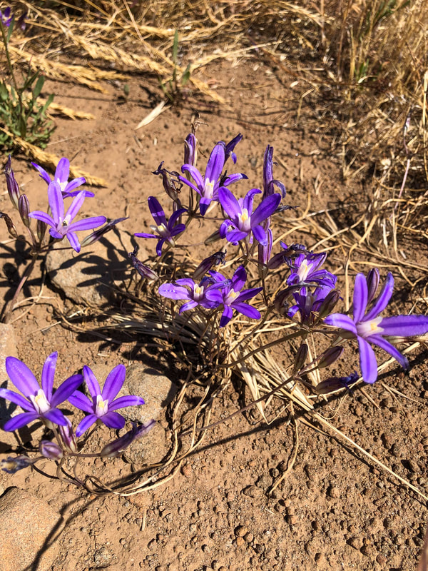
(Harvest Brodiaea)
|
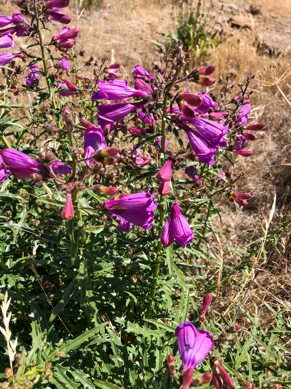
(Richard's penstemon)
|
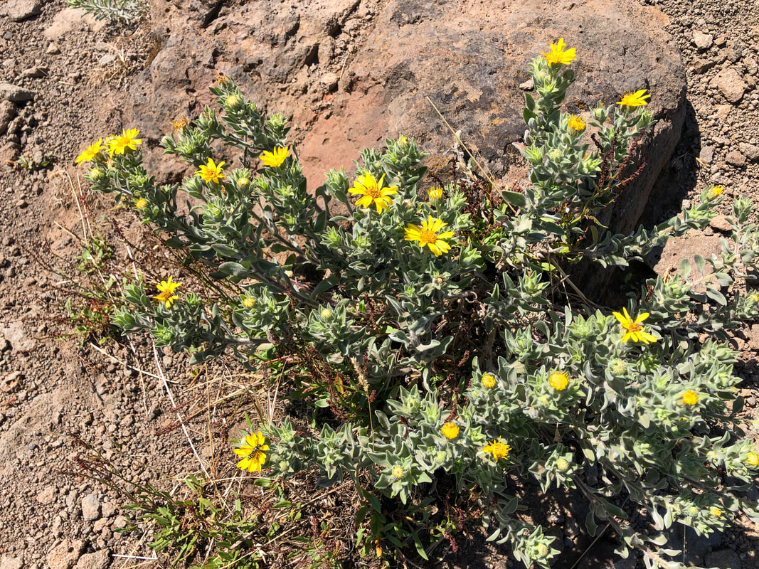
(Hairy Goldaster)
|
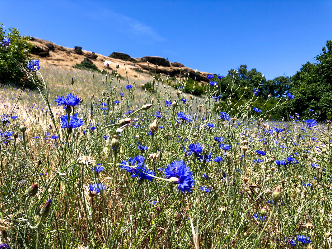
(Cornflower)
|
Directions:
From Portland
- Drive on I-84 E/US-30 E for a total of 61.3 miles, then Take exit 64 for Mt Hood Hwy toward OR-35/White Salmon/Govt. Camp. Turn left onto Button Bridge Rd/Mt Hood Hwy. and cross the Hood River toll bridge. On the other side of the bridge (in WA) turn right onto WA-14 E and stay on this road for 4.6 miles, then turn left onto Courtney Rd. and immediately turn right at a sign for Coyote Wall and park at the trailhead parking. (Total of 70.5 miles)
- Drive US-97 north for 41.2 miles. In the town of Madras, US-97 N forks right and becomes SW 5th St/S Adams Dr. for 1.4 miles through town. Then turn right onto US-97 N/NE 6th St. for a total of 24.9 miles, then keep left to continue on US-197 N for another 59.7 miles. In The Dalles turn right onto US-197 N/US-30 E for 3.7 miles, crossing the bridge, then turn left onto WA-14 W for 14.8 miles. Turn right onto Courtney Rd. and immediately turn right at a sign for Coyote Wall and park at the trailhead parking. (Total of 146 miles)
- It is a total of 114 miles via Portland.
- It is a total of 178 miles via Portland.
- It is a total of 341 miles via Portland.
-This trail write-up was last updated in 2020-
*All pictures unless otherwise marked are taken by Franziska Weinheimer
*All pictures unless otherwise marked are taken by Franziska Weinheimer
*Disclaimer: The trail descriptions, mileage, GPS tracks and difficulty ratings depicted on this website are never 100% accurate. Always hike at your own risk, using your own knowledge, equipment and common sense. Franziska Weinheimer/Hike Oregon are not responsible if you or anyone in your party gets injured or lost while attempting one of these or any other hikes.