Whetstone Mountain
via Opal Creek trailhead
Hike details:
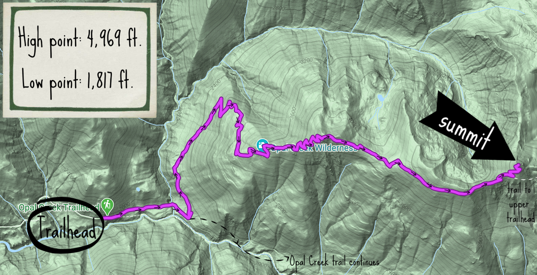
Mileage: 11.25 miles out and back w/ 3,830 ft. elevation gain
Approximate hike time: 4 hours 53 minutes w/ an average pace of 2.3 mph
Difficulty: Difficult
Trail usage: Low in the spring and fall, medium in the summer (especially from the upper trailhead)
General location: 42 miles east of Salem off of North Fork Rd. - Opal Creek Wilderness - Willamette National Forest
Suggested seasons: Late spring, summer, fall
(Best time to go is September, October and early November when there are less people in the area and the mountains have a nice dusting of snow on them).
Permits required: Self issue wilderness permit Memorial Day - Oct. 31 and Annual Northwest Forest Pass for parking
Pit toilet at trailhead: Yes
Trail allows: Dogs, horses, camping (I wouldn't recommend trying to get a horse trailer up to the Opal Creek Trailhead. The road is full of very deep potholes which would make it dangerous for a horse trailer).
Description:Whetstone Mountain is accessible from the Opal Creek trailhead which can be hiked from mid-May until mid-November, as well as an upper trailhead that isn't accessible by car except during the summer and early fall months. The trail to Whetstone Mountain summit from Opal Creek trailhead is 11.25 mile round trip and the trail via the upper trailhead is 4.2 miles round trip.
If you are hiking on a weekend, remember to get to the trailhead early, as Opal Creek gets very busy and the trailhead fills up fast. |
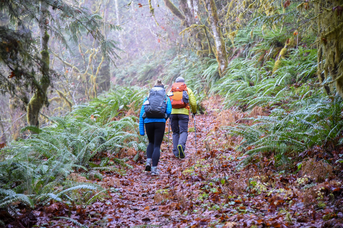
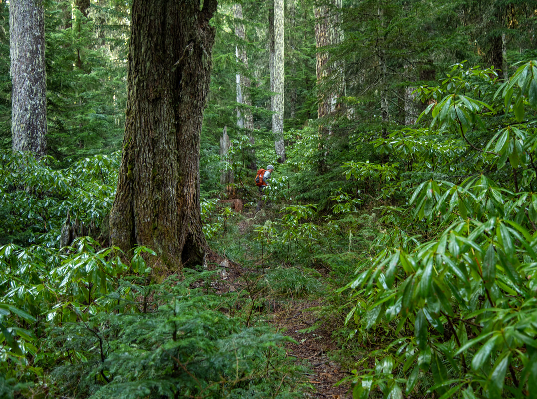
The first 0.7 miles of the hike are along the gravel road that you walk down to go to Jawbone Flats. Then you will see a trail go off to the left with a sign for Whetstone Mountain and Opal Creek Wilderness. You will hike about 1 mile before you come to your first switchback. In the next 2 miles the trail switchbacks 26 times gaining a total of 1,650 feet of elevation. At one point the trail does get very overgrown with large Rhododendron bushes that bloom in June. If it has just rained, going through this section will likely get your pretty wet as it is unavoidable to brush up against the bushes.
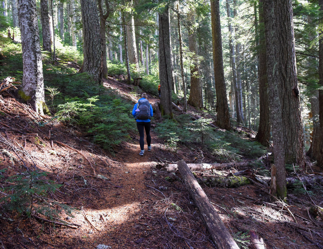
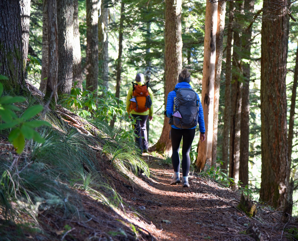
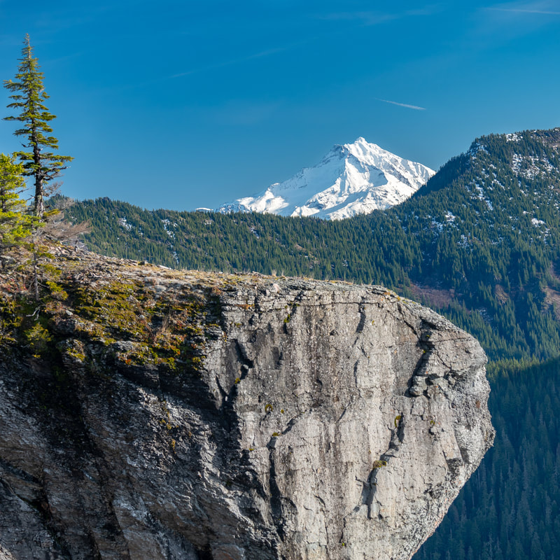
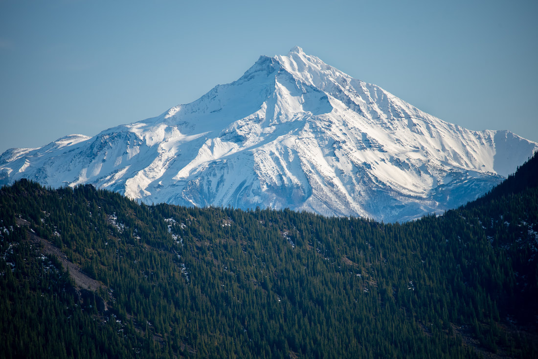
After the 26 switchbacks and a total of 3.75 miles, the trail continues gradually along a ridge for another 1.6 miles. The forest along the ridgeline is more open and much drier than the lower portion of the trail. Here you will see less Rhododendrons and more bear grass and you will begin seeing glimpses of Mt. Jefferson through the trees and there are some awesome viewpoints.
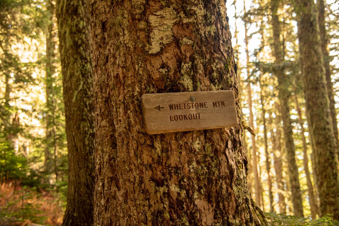
At 5.33 miles you will come to a trail split. There is a sign on a tree pointing to the left to continue up to the Whetstone Mountain summit. The trail that goes straight is the trail that comes from the upper trailhead. From the trail split it is another 4 very short switchbacks before you have arrived at the top.
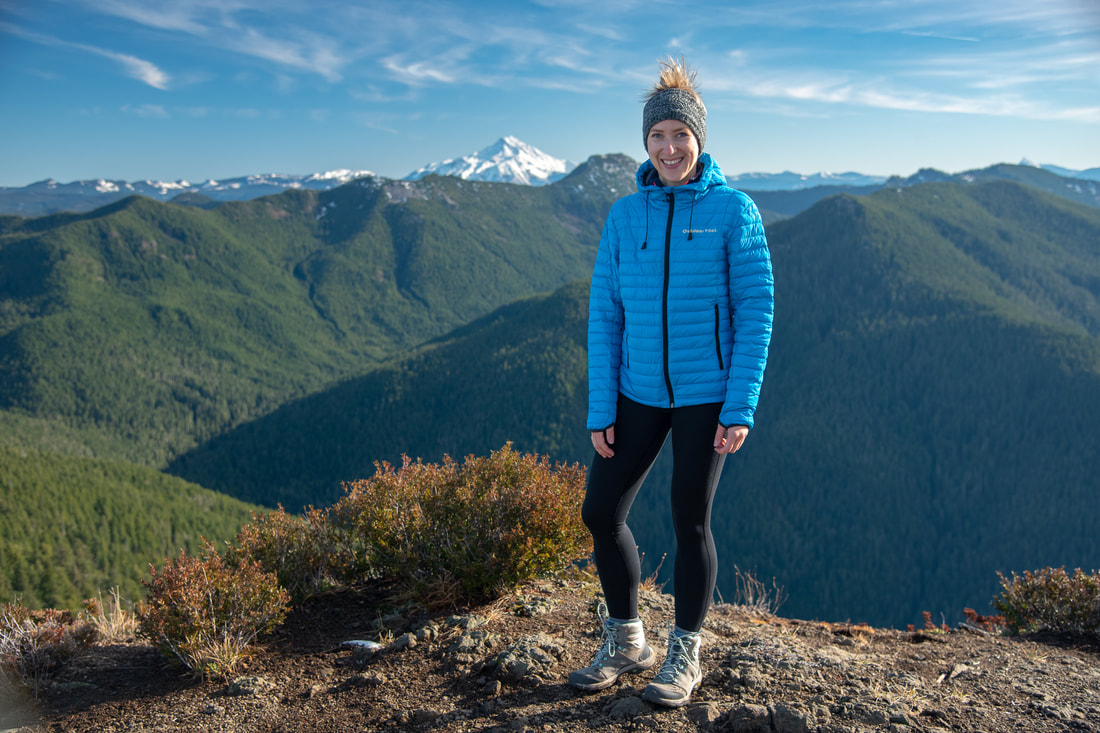
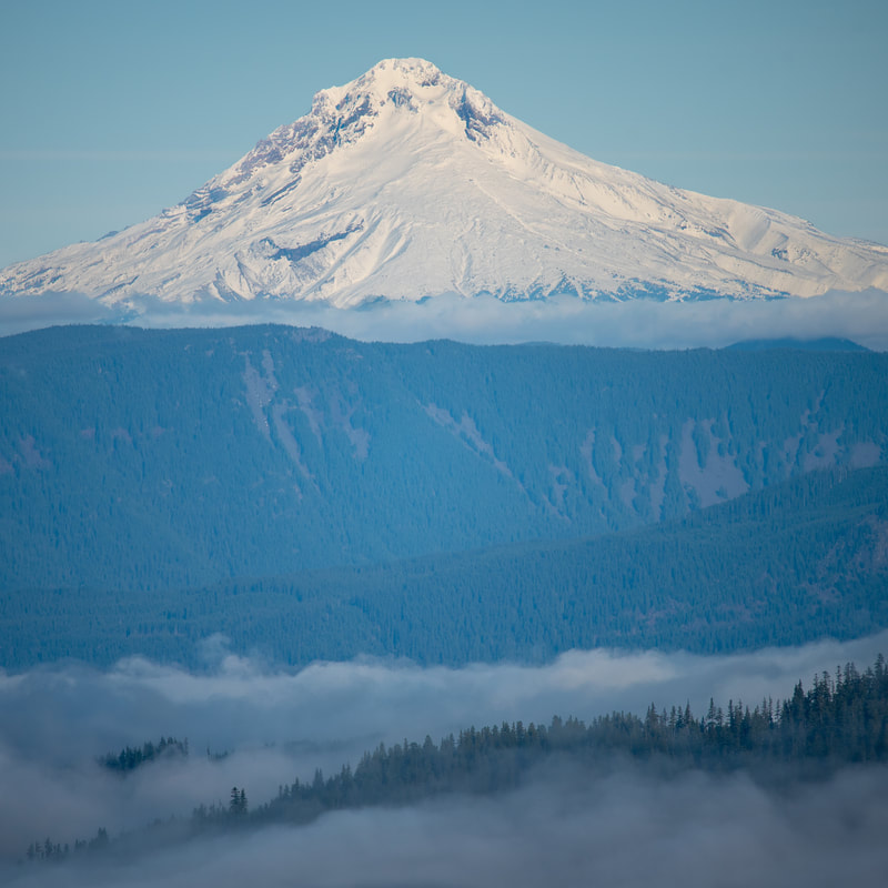
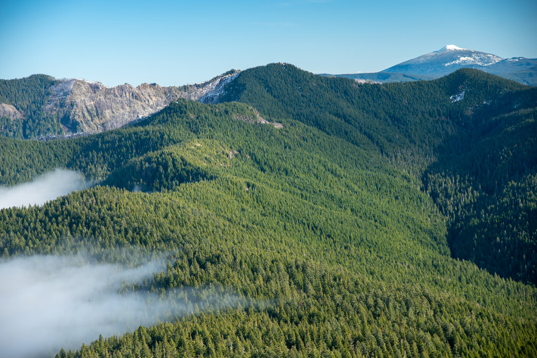
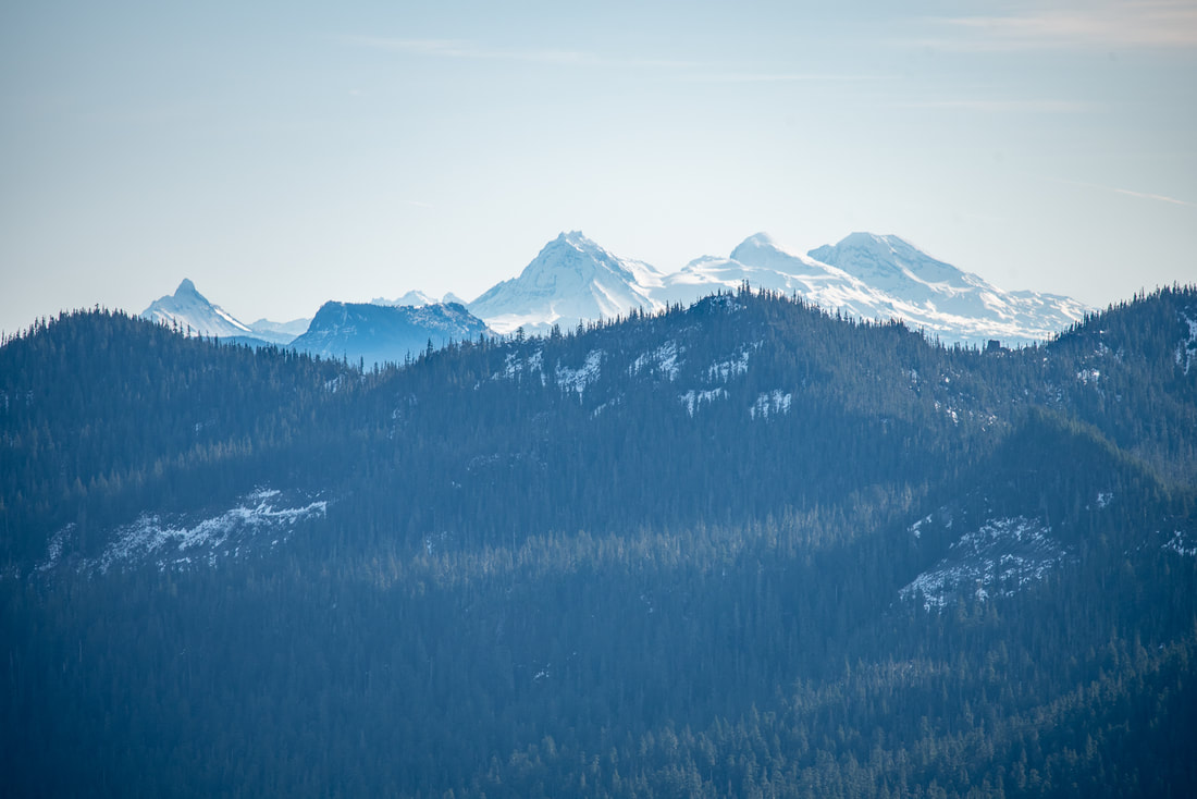
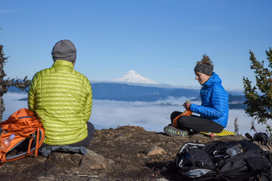
The summit of Whetstone Mountain is a large flat area where a fire lookout once stood, and for good reason, the views are plentiful and absolutely stunning. You will see Mt. Hood very clearly to the north. South of Mt. Hood, along the Cascade crest stands Olallie Butte and next to it is Mt. Jefferson which feels close enough to touch. Further south you will see Mt. Washington, North, Middle and South Sister. And because of the angle of the view, the tips of Broken Top peek up over the ridge between Mt. Washington and North Sister.
Overall, this hike is not for the faint of heart, but the climb is absolutely worth the amazing views. This hike has been compared to nearby Henline Mountain which is a shorter hike, however the view from Henline Mountain is nowhere near as spectacular as the view from Whetstone Mountain. This hike is rated difficult only because of the mileage and elevation gain. The trail is well maintained and the trail tread is very smooth for the most part (there is a small rocky section right after you turn onto the Whetstone Mountain Trail from the Opal Creek Trail) and there are no off camber sections.
Directions:
From Salem
- Drive 23 miles east of Salem on North Santiam Hwy 22 until you reach the town of Mehama. At the second flashing yellow light turn left onto Little North Santiam Fork Rd. for 16.3 miles. At a fork stay to the left on Road 2209 and drive 6 miles up to a gate. Long before the gate you will see many cars lining the road. Find a place to park early on, or else you will have to try to turn around at the trail head where cars are packed in tight and lots of people and dogs are milling about. *As of May 26, 2017 the US Forest Service has approved a new law which states that cars can only park a quarter mile down the road from the trailhead. (Total of 46 miles)
- Drive I-5 north towards Albany for 39.3 miles then take exit 233 for US-20 toward Albany/Lebanon. Turn left onto US-20 E/Santiam Hwy SE for 5.4 miles then turn left onto OR-226 E for 6.8 miles. Turn right onto Montgomery Dr for 2.1 miles then turn left onto Richardson Gap Rd. for another 2.6 miles. Turn right onto OR-226 E/State Hwy 226 E for 12.4 miles and in the town of Lyons turn left onto OR-226 E/5th St/Main St. for 1.3 miles until you T into OR-22. Turn right and stay on OR-22 for just 0.8 miles. At the flashing light turn Turn left onto N Fork Rd/Little North Fork and stay on this road for 14.8 miles then continue on NF-2207 for 1.6 miles. Take a slight left onto NF-2207/NF-2209 and continue for a little over 4 miles to its end. (Total of 94.1 miles)
- From Bend drive north on Hwy. 97 and then merge onto US-20 west towards Sisters. After Sisters continue on US-20 west until you get to Santiam Junction where you will merge right onto OR-22 towards Detroit for 48.5 miles. In the town of Gates turn right onto Gates Hill Rd. for 3.7 miles and then turn right onto N. Fork Road for 4.9 miles. At a fork in the road stay left on Road 2209 and drive 6 miles up to a gate. (Total of 112 miles)
- Total of 90.5 miles via Salem.
- Total of 257 miles via Eugene.
*All pictures unless otherwise marked are taken by Franziska Weinheimer
*Disclaimer: the trail descriptions, mileage, GPS tracks and difficulty ratings depicted on this website are never 100% accurate. Always hike at your own risk, using your own knowledge, equipment and common sense. Franziska Weinheimer/Hike Oregon are not responsible if you or anyone in your party gets injured or lost while attempting one of these or any other hikes.

